Elevation of 65 US Frst Service Rd, Wheatland, WY, USA
Location: United States > Wyoming > Platte County > Wheatland >
Longitude: -105.34102
Latitude: 42.3316663
Elevation: 1913m / 6276feet
Barometric Pressure: 80KPa
Elevation Map:
Satellite Map:
Related Photos:
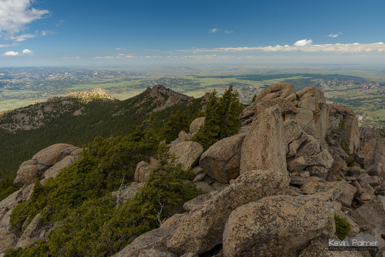
Summit Boulder Pile
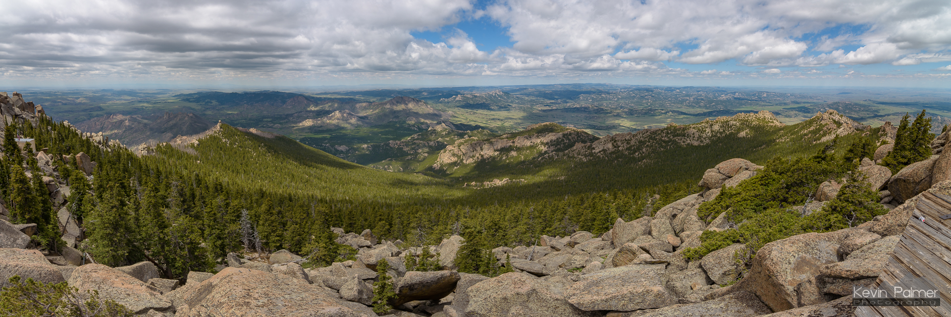
Laramie Peak Panorama
A Spot of Sunshine
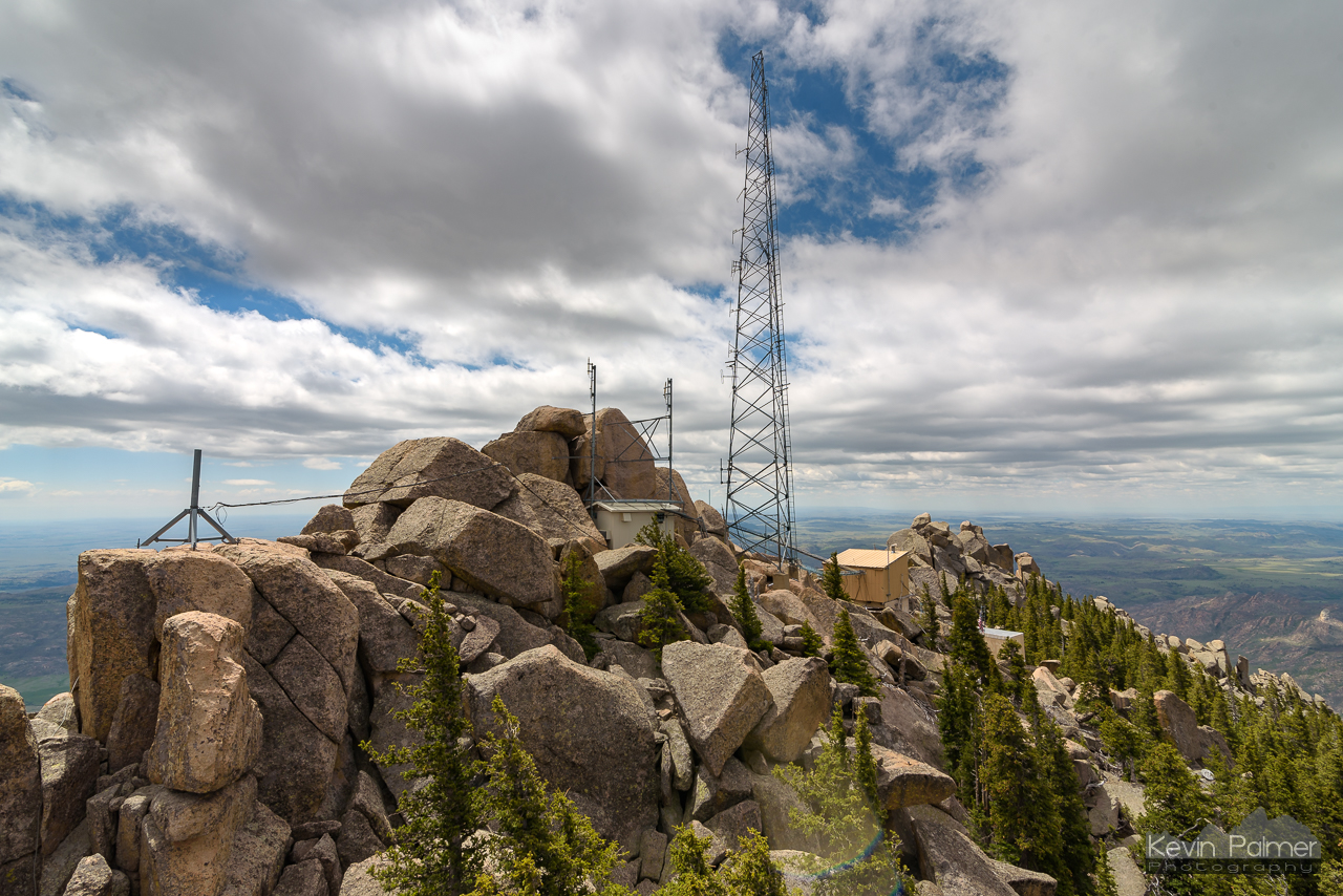
Radio Towers
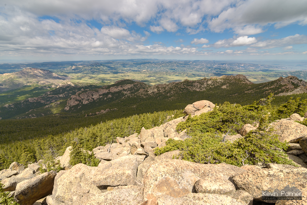
Laramie Peak West

sous les nuages
Esterbrook Church
Esterbrook Church - view of Laramie Peak
2017-07-12_19-43-49 Wyoming Scouting Trip - IMG_3253_stitch

Barn and Horse Corall
Topographic Map of 65 US Frst Service Rd, Wheatland, WY, USA
Find elevation by address:

Places near 65 US Frst Service Rd, Wheatland, WY, USA:
Esterbrook
1154 Upper Fish Creek Rd
Harris Park Road
2951 Esterbrook Rd
Esterbrook Rd, Douglas, WY, USA
Anvil Peak
Irvine Rd, Douglas, WY, USA
Orin
Glendo
26 Sierra
Cassa Rd, Glendo, WY, USA
910 Washington St
17 Mountainview Rd
Douglas
332 N 4th St
Guernsey State Park
Main St Lost Spring, Shawnee, WY, USA
Guernsey
18 S Wyoming Ave, Guernsey, WY, USA
0 Cedar Top Rd
Recent Searches:
- Elevation of Tenjo, Cundinamarca, Colombia
- Elevation of Côte-des-Neiges, Montreal, QC H4A 3J6, Canada
- Elevation of Bobcat Dr, Helena, MT, USA
- Elevation of Zu den Ihlowbergen, Althüttendorf, Germany
- Elevation of Badaber, Peshawar, Khyber Pakhtunkhwa, Pakistan
- Elevation of SE Heron Loop, Lincoln City, OR, USA
- Elevation of Slanický ostrov, 01 Námestovo, Slovakia
- Elevation of Spaceport America, Co Rd A, Truth or Consequences, NM, USA
- Elevation of Warwick, RI, USA
- Elevation of Fern Rd, Whitmore, CA, USA