Elevation of Esterbrook Rd, Douglas, WY, USA
Location: United States > Wyoming > Converse County > Douglas >
Longitude: -105.38834
Latitude: 42.581051
Elevation: 1503m / 4931feet
Barometric Pressure: 85KPa
Elevation Map:
Satellite Map:
Related Photos:

BNSF 4852 C44-9W near Douglas WY

What you lookin at?

Visitor Meanwhile
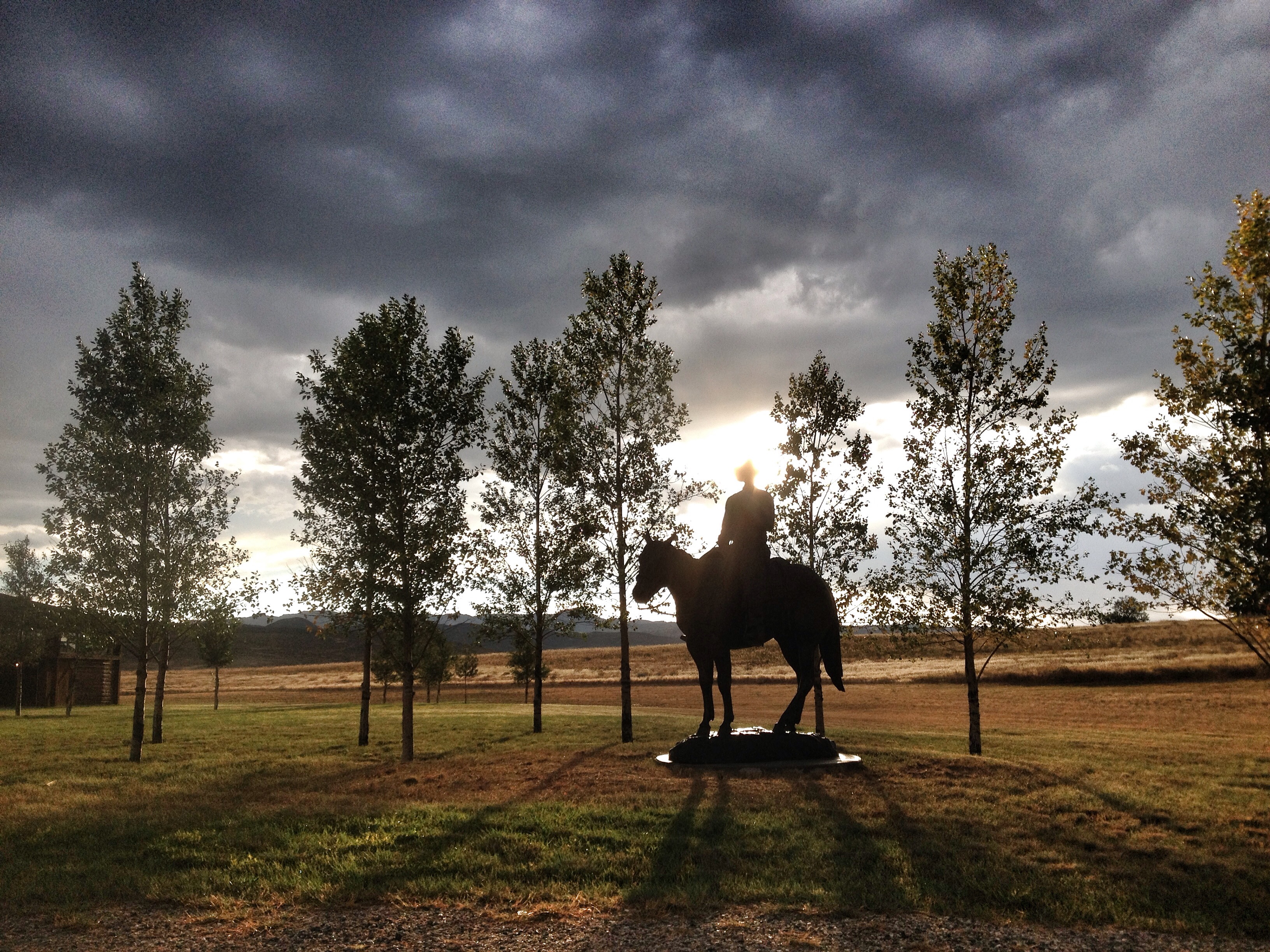
Ride out into the sunset

Chevy Traverse
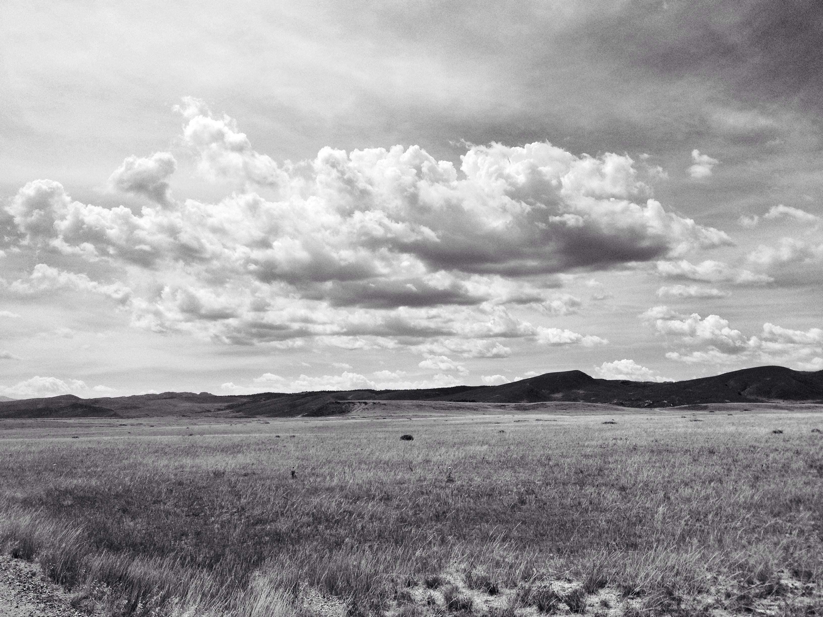
Wyoming Sky
Topographic Map of Esterbrook Rd, Douglas, WY, USA
Find elevation by address:

Places near Esterbrook Rd, Douglas, WY, USA:
Irvine Rd, Douglas, WY, USA
26 Sierra
910 Washington St
17 Mountainview Rd
2951 Esterbrook Rd
Esterbrook
Douglas
332 N 4th St
Orin
65 Us Frst Service Rd 633
Harris Park Road
1154 Upper Fish Creek Rd
Anvil Peak
Glendo
Converse County
Cassa Rd, Glendo, WY, USA
Main St Lost Spring, Shawnee, WY, USA
0 Cedar Top Rd
Unnamed Road
Bill
Recent Searches:
- Elevation of Côte-des-Neiges, Montreal, QC H4A 3J6, Canada
- Elevation of Bobcat Dr, Helena, MT, USA
- Elevation of Zu den Ihlowbergen, Althüttendorf, Germany
- Elevation of Badaber, Peshawar, Khyber Pakhtunkhwa, Pakistan
- Elevation of SE Heron Loop, Lincoln City, OR, USA
- Elevation of Slanický ostrov, 01 Námestovo, Slovakia
- Elevation of Spaceport America, Co Rd A, Truth or Consequences, NM, USA
- Elevation of Warwick, RI, USA
- Elevation of Fern Rd, Whitmore, CA, USA
- Elevation of 62 Abbey St, Marshfield, MA, USA