Elevation of Essie Young Rd, Pennington Gap, VA, USA

Location: United States > Virginia > Lee County > >

Longitude: -82.983146

Latitude: 36.7259156

Elevation: 495m / 1624feet

Barometric Pressure: 96KPa

Elevation Map:

elevation map of Essie Young Rd, Pennington Gap, VA, USA

Satellite Map:

Satellite map of Essie Young Rd, Pennington Gap, VA, USA

Related Photos:

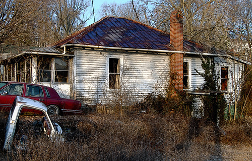
house abandoned virginia explore leecounty platinumphoto proudshopper novavitanewlife novaexcellence artistictreasurechest
Tower House
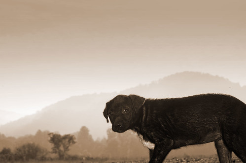
dog virginia leeman penningtongap platinumphoto theunforgettablepictures pse7
Stray Dog 2
penningtongap
Fixer Upper
red virginia leecounty leeman penningtongap pse7
Red-Wall
Tobacco Field
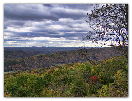
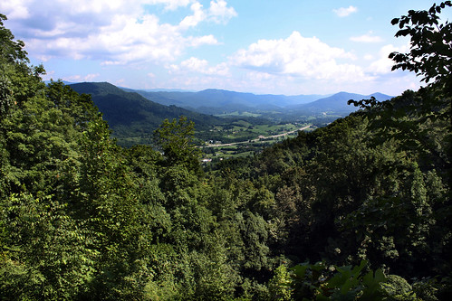
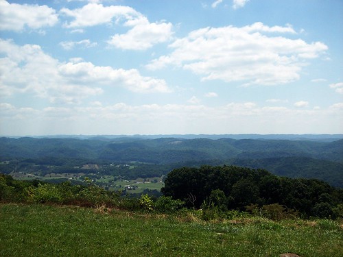
sky mountain clouds virginia lookout overlook naturesbest potofgold powellmountain scottcounty
Look Out
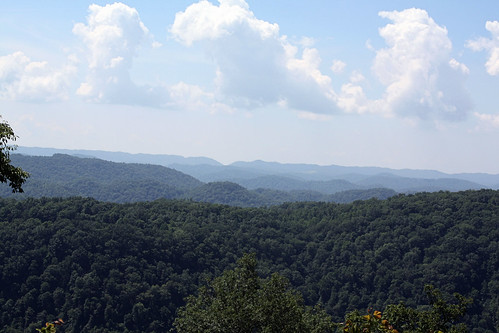
mountain mountains virginia ridges leecounty appalachianmountains
Southern Appalachian Ridges
penningtongap
Bailey Robbins
High-Mast
square squareformat iphoneography instagramapp uploaded:by=instagram foursquare:venue=505531a0e4b09a662daf4efc
#view #lookout #kanegap
penningtongap
Circle of Faith
virginia spiderweb naturelovers spanishneedles scottcounty
Needles and Thread
East End Auto
penningtongap
A Place in the Sun
square gingham squareformat iphoneography instagramapp uploaded:by=instagram foursquare:venue=4ca50156931bb60c941686e2
We couldn't help but stop this morning and admire the view of the mountains.
blackandwhite virginia post chain pennington leecounty leeman pse7
Chain-and-Post
rural fence virginia farm leecounty
Rolling Hills
rock stone virginia leecounty blueribbonwinner supershot platinumphoto citrit goldstaraward greatstoneface
Great Stone Face
Blackwater, Virginia
usa virginia unitedstates duffield
US 421 Powell Mountain Overlook
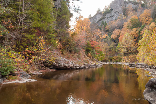
autumn autumncolors fall backroadphotography colorful wallenscreek penningtongap virginia nikond60 funny streams water nature naturalbeauty reflections leecountyva madeitoutalive skinnedupleg swollen hurtlikethedickens
What We Do For a Photo
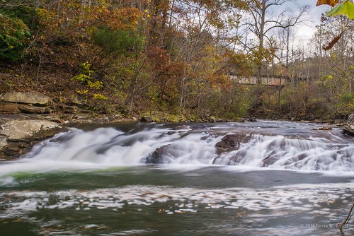
autumn fall water rural country waterfalls slowshutter streams creeks nikond60 backroadphotography leecountyva kjerrellimges
Purcell Falls
barn rural virginia farm leecounty tatot
The afternoon is heavy on your shoulders
mountain virginia leecounty wallensridge
Deep Springs
Lee County Virginia Sunrise
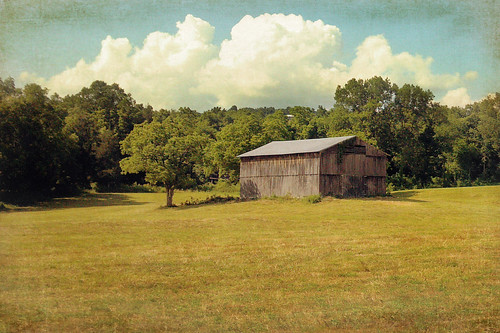
barn rural virginia farm leecounty
Haying time
Powell Mtn Overlook - 2319ft elev
gap kane
Kane Gap
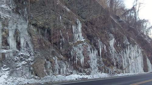
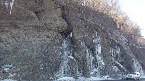
Shady side - Ice hanging
hiking daniel trail wilderness boone trailhead kanegaptrail
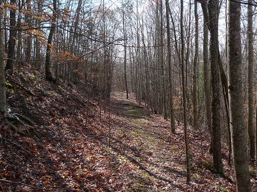
Kane Gap Trail
Clinch river
usa virginia unitedstates duffield
US 421 Powell Mountain Overlook
mountain virginia powell pattonville
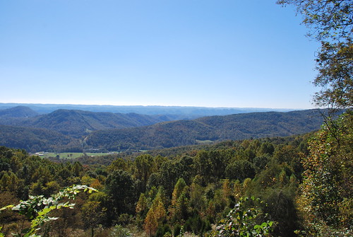
As Far As The Eye Can See
Shady side - Ice hanging