Elevation of Kyles Ford Bridge, Eidson, TN, USA
Location: United States > Tennessee > Hancock County > Kyles Ford >
Longitude: -83.041279
Latitude: 36.5692578
Elevation: 353m / 1158feet
Barometric Pressure: 97KPa
Elevation Map:
Satellite Map:
Related Photos:

Tower House
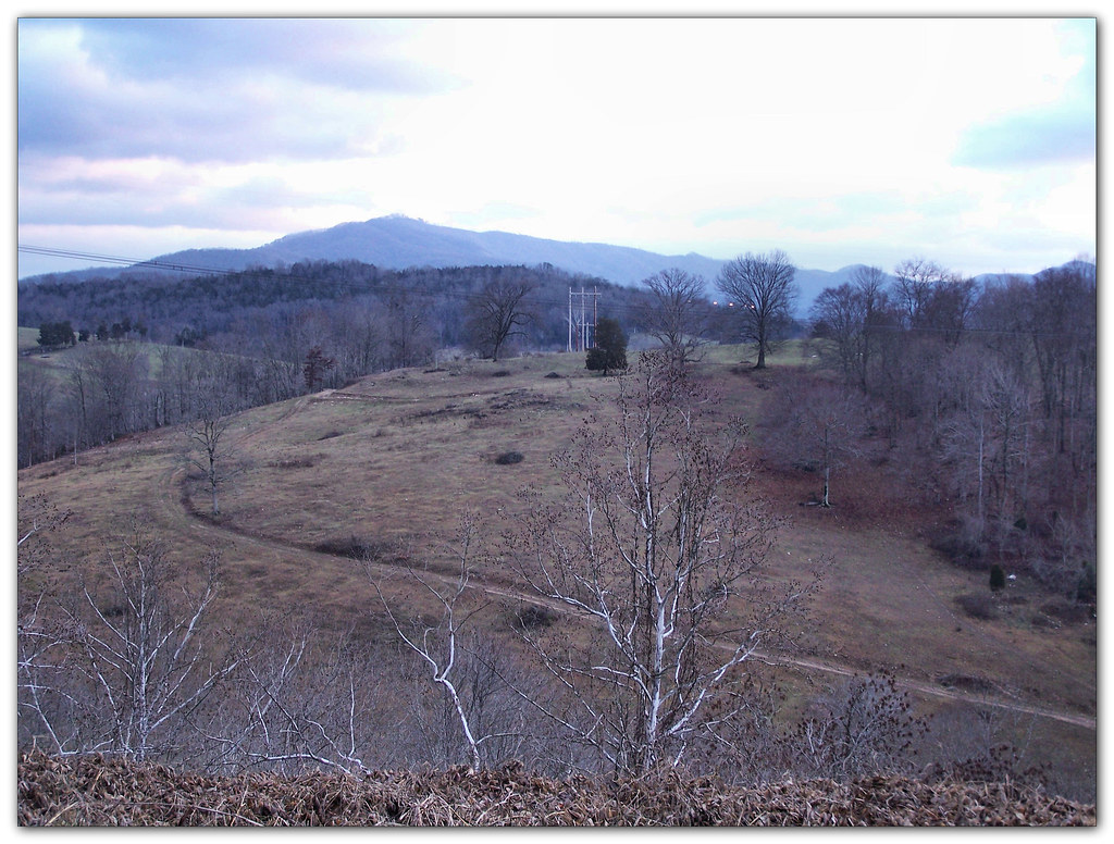
North side of Clinch Mountain

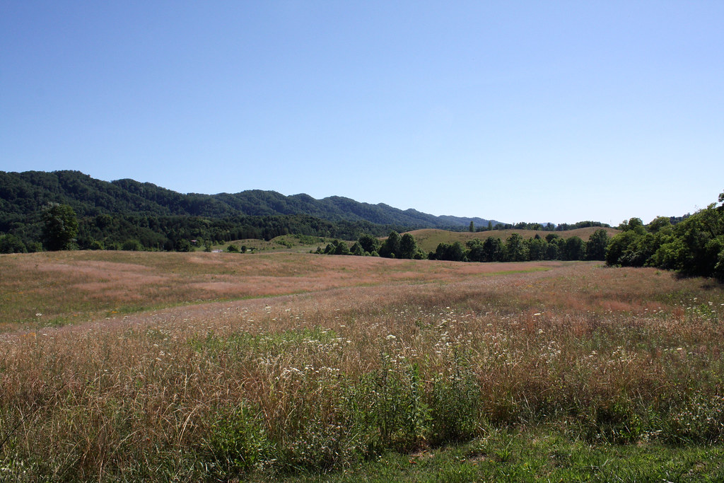
Southern Appalachian Ridges
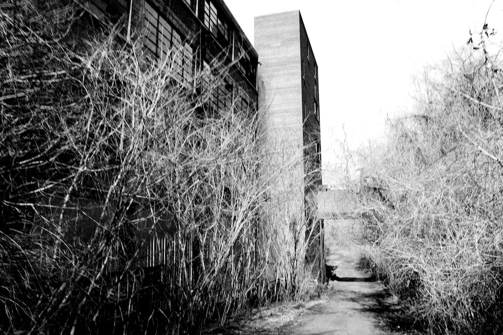
Pressmen's Home
We couldn't help but stop this morning and admire the view of the mountains.
The afternoon is heavy on your shoulders

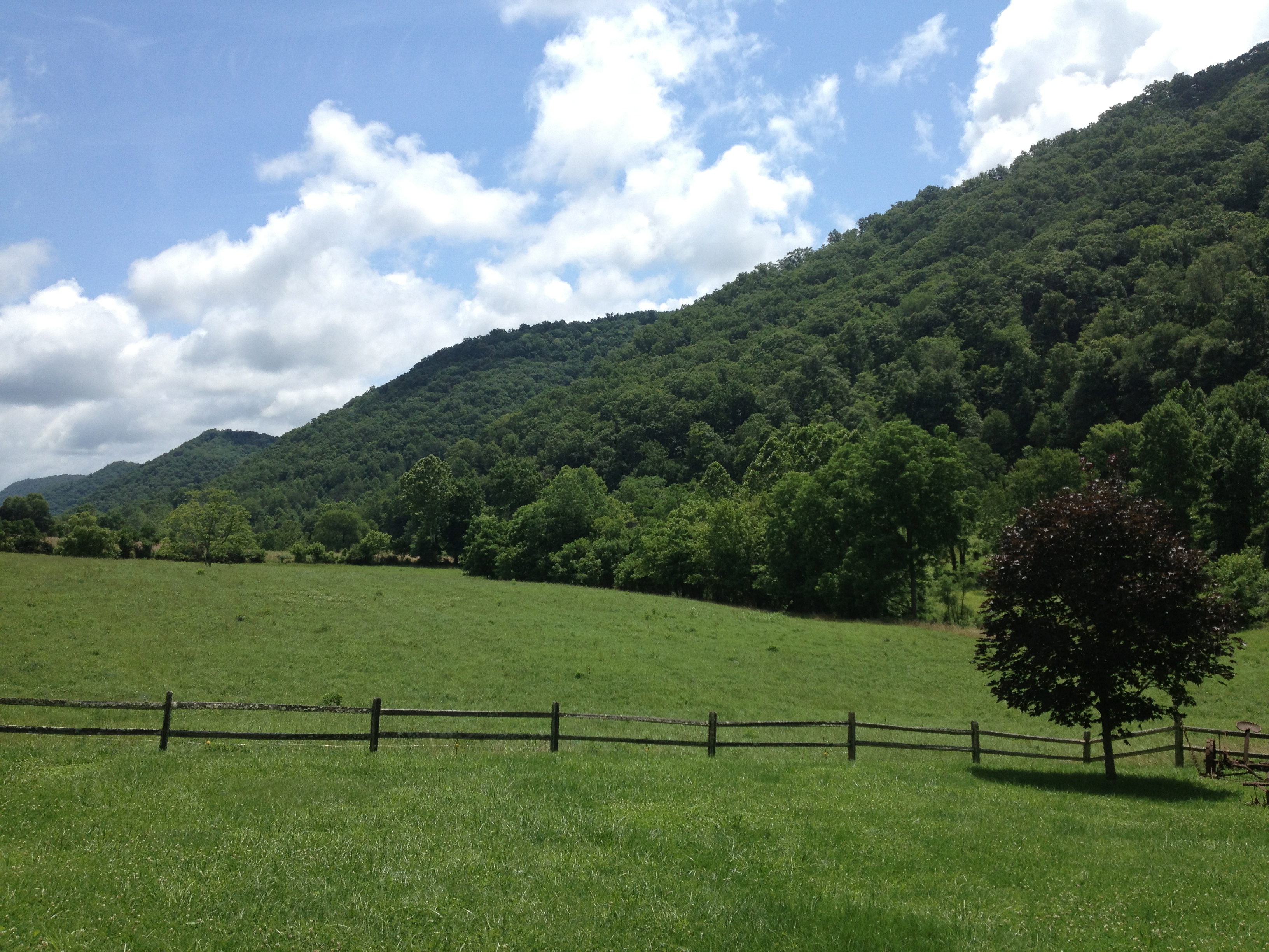
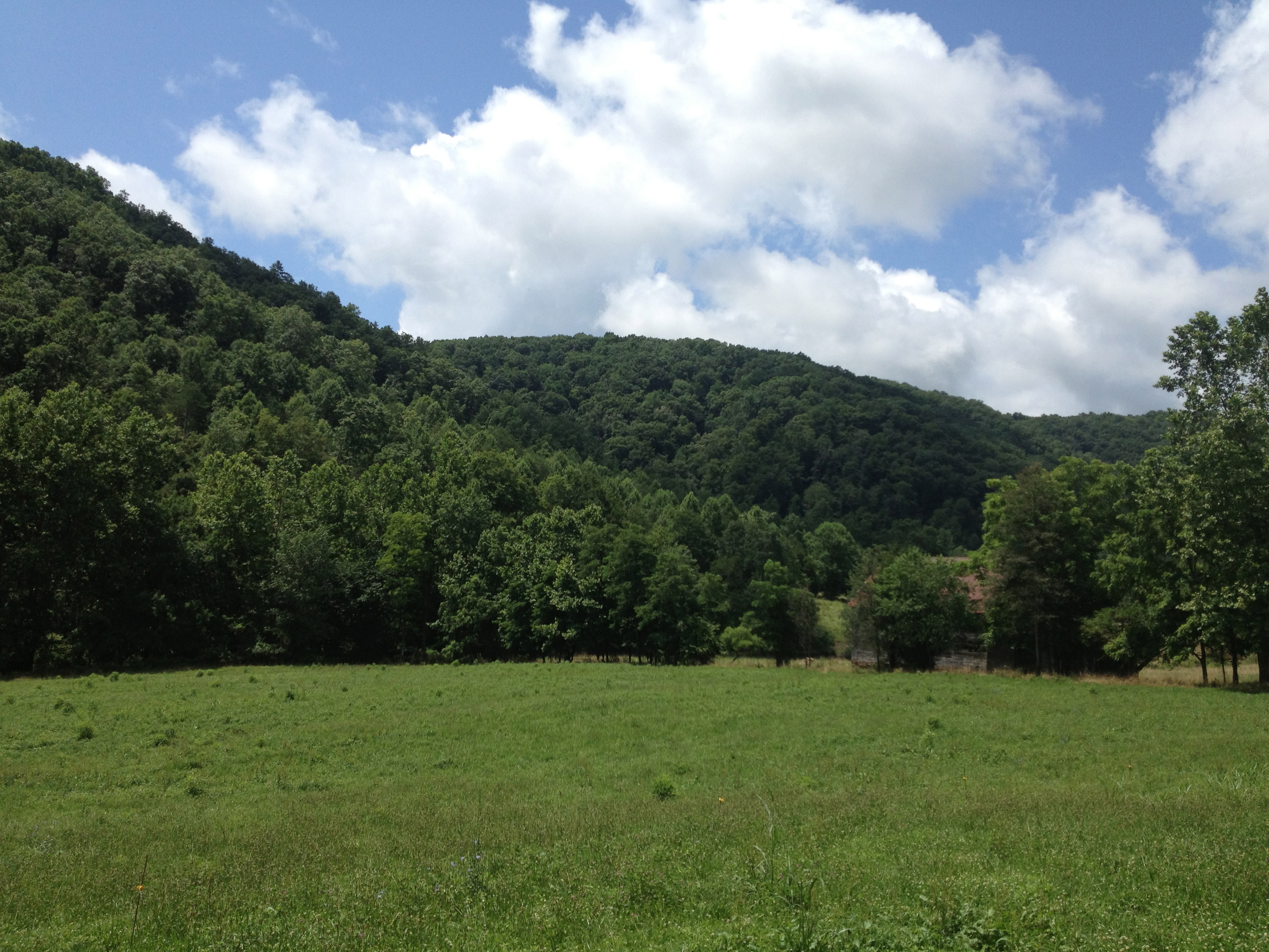
Rolling Hills

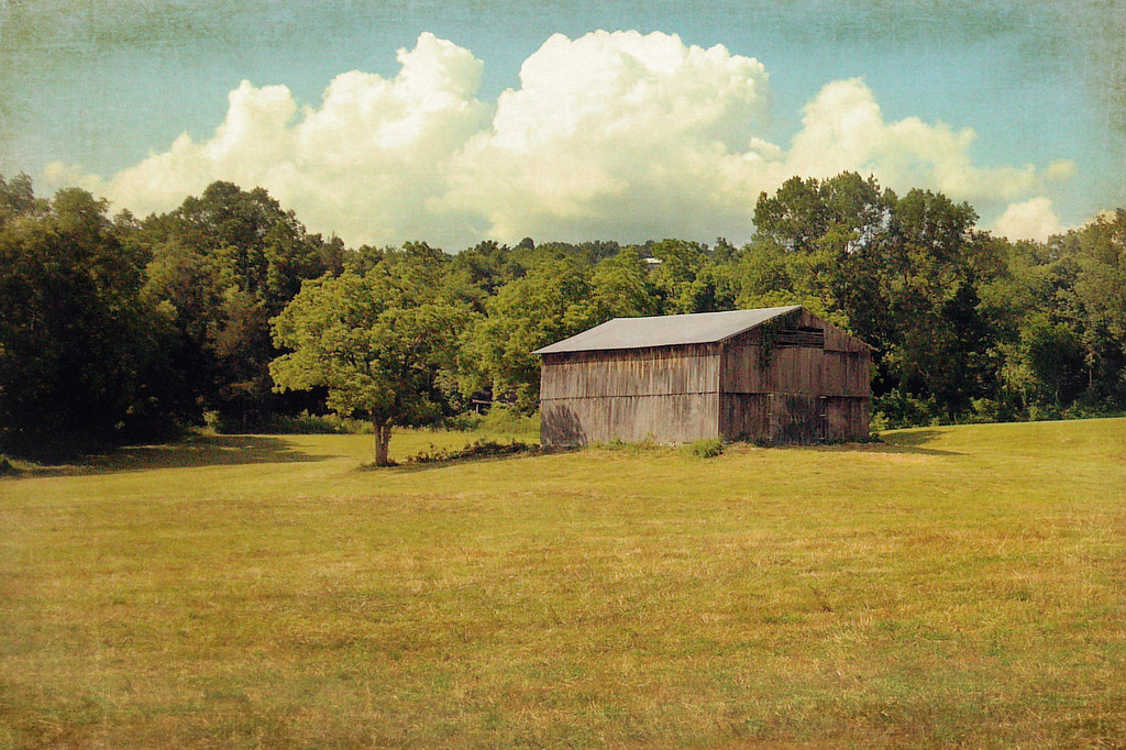
Haying time

Blackwater, Virginia
Daniel Boone Wilderness Trail
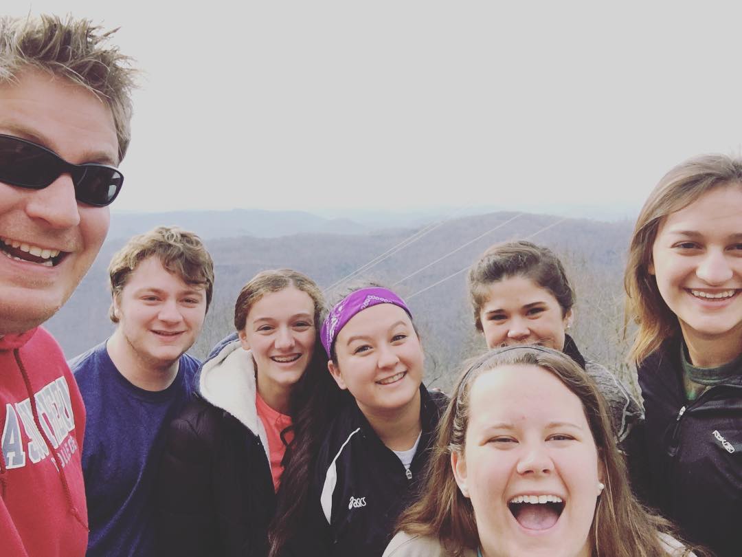
Youth MT2K13 Photos

Clinch river
Youth MT2K13 Photos
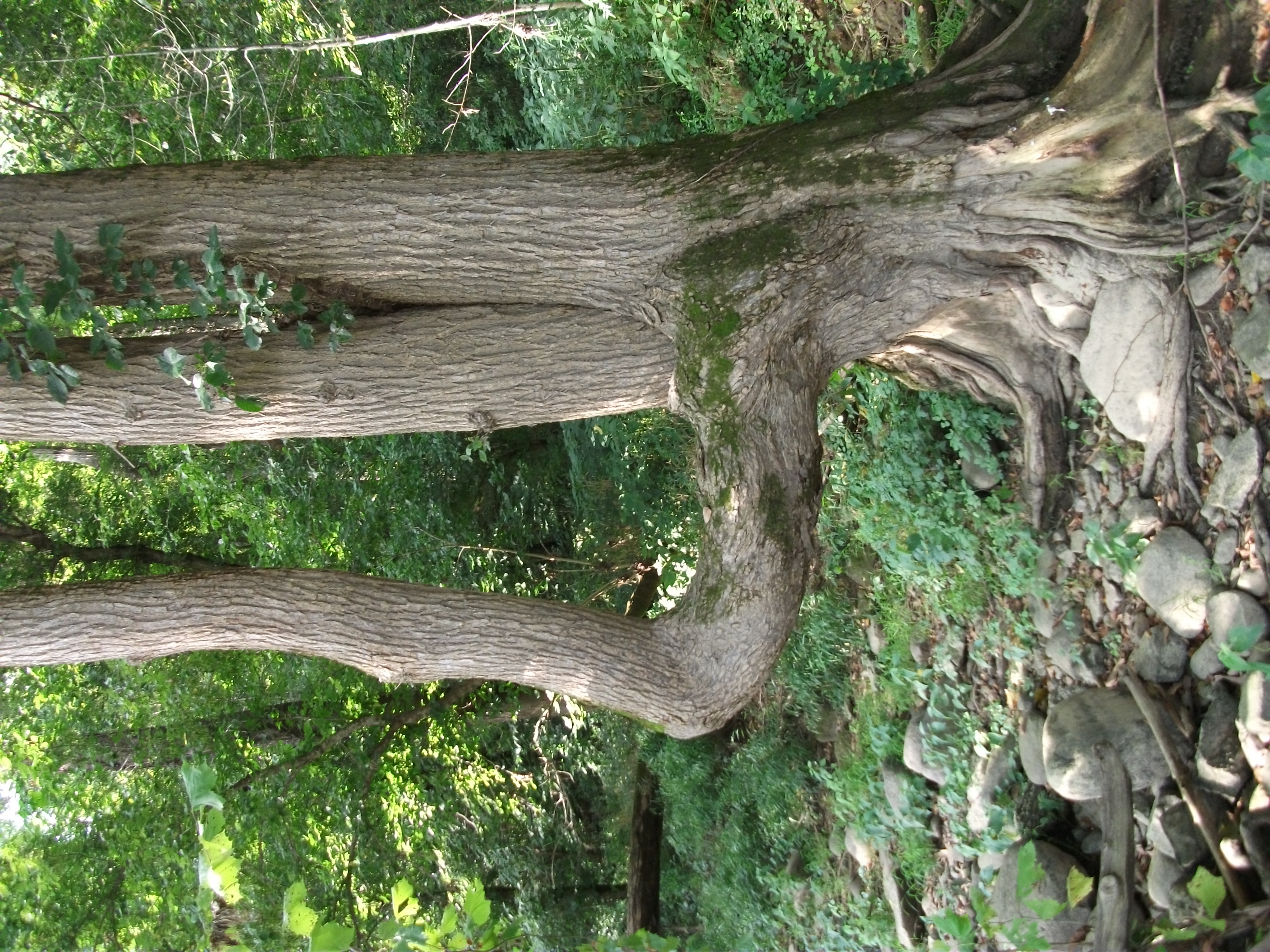
Trail Tree
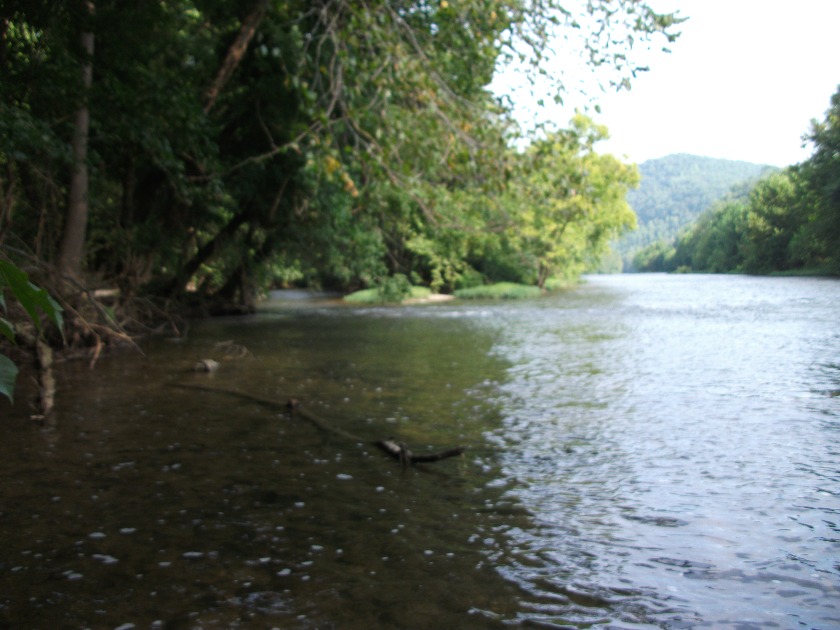
Clinch river
Topographic Map of Kyles Ford Bridge, Eidson, TN, USA
Find elevation by address:

Places near Kyles Ford Bridge, Eidson, TN, USA:
Kyles Ford
Perry Livesy Hollow
1990 Fox Branch Rd
Hurd Hollow Road
Blackwater
Fox Branch Rd, Kyles Ford, TN, USA
Blackwater, VA, USA
Old Roop Farm Dr, Jonesville, VA, USA
2, VA, USA
Lee County
Jonesville
319 Town Branch Rd
3, VA, USA
Lone Branch Church
Chestnut Ridge Drive
357 Essie Young Rd
357 Essie Young Rd
Elk Knob Elementary School
Flanary Bridge Road
Flanary Bridge Road
Recent Searches:
- Elevation of Lampiasi St, Sarasota, FL, USA
- Elevation of Elwyn Dr, Roanoke Rapids, NC, USA
- Elevation of Congressional Dr, Stevensville, MD, USA
- Elevation of Bellview Rd, McLean, VA, USA
- Elevation of Stage Island Rd, Chatham, MA, USA
- Elevation of Shibuya Scramble Crossing, 21 Udagawacho, Shibuya City, Tokyo -, Japan
- Elevation of Jadagoniai, Kaunas District Municipality, Lithuania
- Elevation of Pagonija rock, Kranto 7-oji g. 8"N, Kaunas, Lithuania
- Elevation of Co Rd 87, Jamestown, CO, USA
- Elevation of Tenjo, Cundinamarca, Colombia