Elevation of Sugar Run Road, Sugar Run Rd, Virginia, USA
Location: United States > Virginia > Lee County > > Jonesville >
Longitude: -83.174966
Latitude: 36.7100996
Elevation: 470m / 1542feet
Barometric Pressure: 96KPa
Elevation Map:
Satellite Map:
Related Photos:

Tower House

Maw's Front Porch View

Mom's Mailbox

Breaking Over the Rocks

Warming Its Old Bones In The Sun

A Piece of Lee

We couldn't help but stop this morning and admire the view of the mountains.

Above Creech
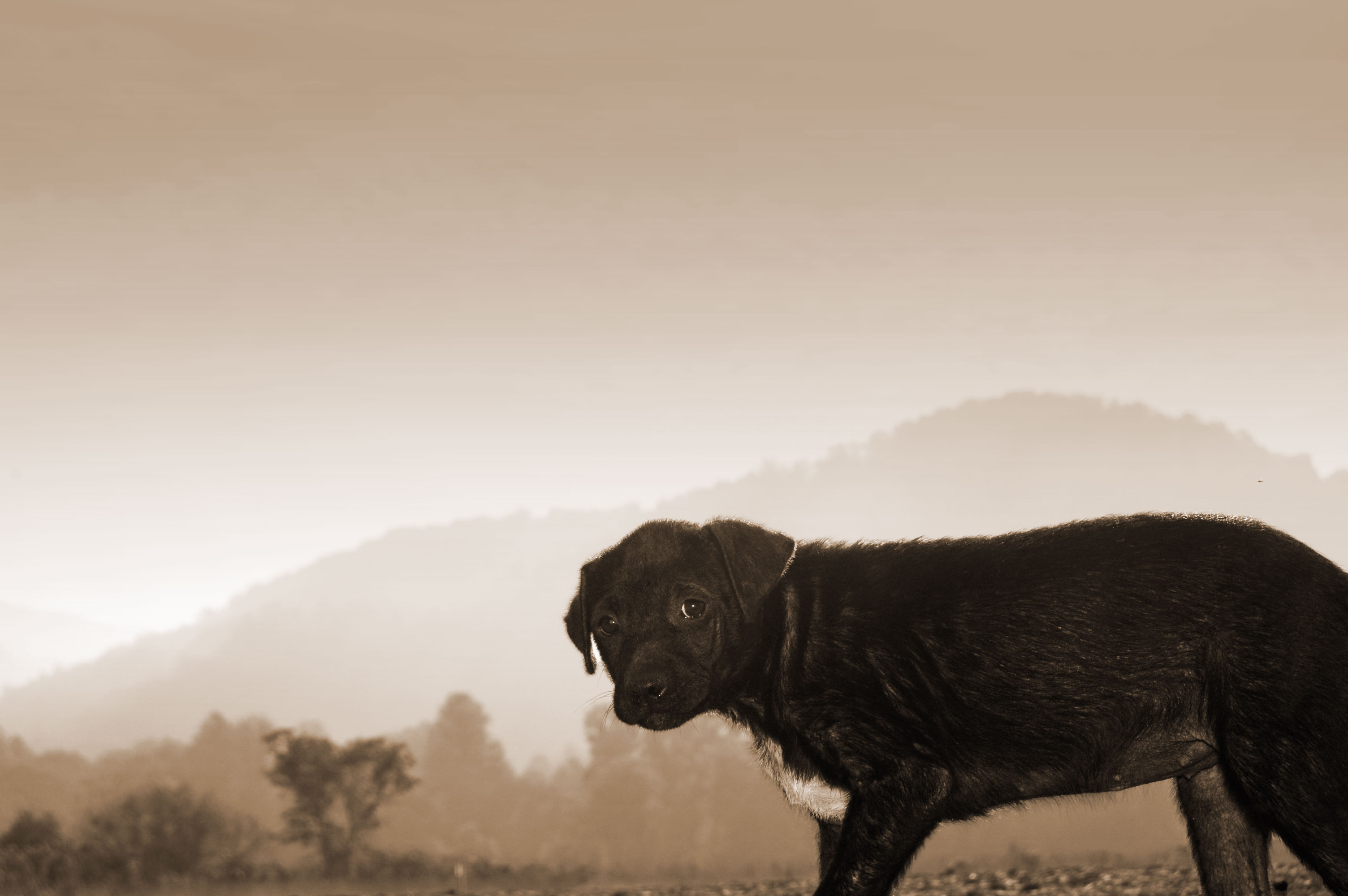
Stray Dog 2
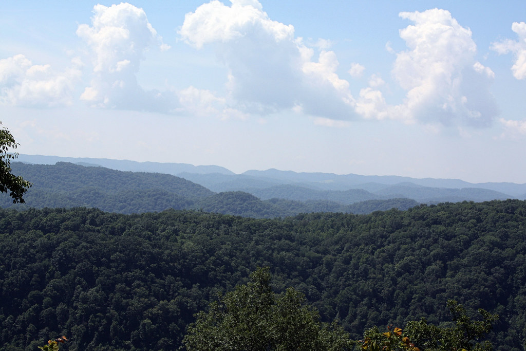
Southern Appalachian Ridges

Red-Wall

Tobacco Field

Fixer Upper

Bailey Robbins

Chain-and-Post

Circle of Faith

A Place in the Sun

High-Mast

NT Sunrise

East End Auto

2020-12-18_08-55-06

Beginning to Color

: : My Virginia : : Field Of Dreams

Through the Woods

Rolling Hills

Friendship Farm

Morning Light On The Powell

Autumn On The Powell

Martin's Fork Lake - Harlan, KY

Winter must be cold for those with no warm memories

Martins Fork Lake

Construction on KY 987

Cranks Creek Lake

Martins Fork Lake

Cranks Creek Dam -- Harlan County, Kentucky

Martins Fork Lake - Harlan, KY

Big Clouds

Martins Fork Lake

I was feeling a little artistic tonight.
Topographic Map of Sugar Run Road, Sugar Run Rd, Virginia, USA
Find elevation by address:

Places near Sugar Run Road, Sugar Run Rd, Virginia, USA:
Sugar Run Road
Sugar Run Road
Ocoonita
Chestnut Ridge Drive
Jonesville
Lee County Airport-0vg
2, VA, USA
319 Town Branch Rd
Old Roop Farm Dr, Jonesville, VA, USA
Flanary Bridge Road
Flanary Bridge Road
Lone Branch Church
Hagan Road
Hagan Road
3, VA, USA
Lee County
Fox Branch Rd, Kyles Ford, TN, USA
Blackwater
Perry Livesy Hollow
1990 Fox Branch Rd
Recent Searches:
- Elevation of Elwyn Dr, Roanoke Rapids, NC, USA
- Elevation of Congressional Dr, Stevensville, MD, USA
- Elevation of Bellview Rd, McLean, VA, USA
- Elevation of Stage Island Rd, Chatham, MA, USA
- Elevation of Shibuya Scramble Crossing, 21 Udagawacho, Shibuya City, Tokyo -, Japan
- Elevation of Jadagoniai, Kaunas District Municipality, Lithuania
- Elevation of Pagonija rock, Kranto 7-oji g. 8"N, Kaunas, Lithuania
- Elevation of Co Rd 87, Jamestown, CO, USA
- Elevation of Tenjo, Cundinamarca, Colombia
- Elevation of Côte-des-Neiges, Montreal, QC H4A 3J6, Canada