Elevation of Sugar Run Road, Sugar Run Rd, Virginia, USA

Location: United States > Virginia > Lee County >

Longitude: -83.174966

Latitude: 36.7100996

Elevation: 470m / 1542feet

Barometric Pressure: 96KPa

Elevation Map:

elevation map of Sugar Run Road, Sugar Run Rd, Virginia, USA

Satellite Map:

Satellite map of Sugar Run Road, Sugar Run Rd, Virginia, USA

Related Photos:

Above Creech
house abandoned virginia explore leecounty platinumphoto proudshopper novavitanewlife novaexcellence artistictreasurechest
Tower House
home rural country barns moms fields nostalgic hay familyfarm frontporches nikond60 backroadphotography kjerrellimages
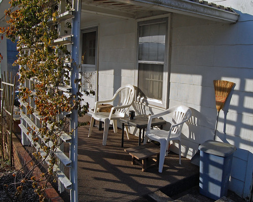
Maw's Front Porch View
rural country memories mailboxes textures nostalgic homeplace nikond60 backroadphotography kjerrellimages
Mom's Mailbox
dog virginia leeman penningtongap platinumphoto theunforgettablepictures pse7
Stray Dog 2
morning mountains nature fog clouds virginia scenic stonemountain rosehill leecounty hwy58 nikond60 wildernessroad backroadsphotography kjerrellimages
Breaking Over the Rocks
houses homes abandoned broken rural neglected forgotten backroads dilapidated rundown fallingdown countryroads ruralphotography leecountyvirginia kjerrellimages beechgrovecommunity
Warming Its Old Bones In The Sun
mountain mountains virginia ridges leecounty appalachianmountains
Southern Appalachian Ridges
autumn mountains fall rural virginia landscapes country fences hills fields stonemountain leecounty flatwoods jonesville nikond60 backroadsphotography kjerrellimages
A Piece of Lee
red virginia leecounty leeman penningtongap pse7
Red-Wall
Tobacco Field
penningtongap
Fixer Upper
penningtongap
Bailey Robbins
blackandwhite virginia post chain pennington leecounty leeman pse7
Chain-and-Post
penningtongap
Circle of Faith
penningtongap
A Place in the Sun
High-Mast
ilvsp2019 naturaltunnelstatepark views mountains nature
NT Sunrise
East End Auto
square gingham squareformat iphoneography instagramapp uploaded:by=instagram foursquare:venue=4ca50156931bb60c941686e2
We couldn't help but stop this morning and admire the view of the mountains.
southernhomes southernfarmhouse appalachia southwestvirginia scottcountyvirginia canon landscape
2020-12-18_08-55-06
autumn leecountyva nikond7200 sigmalens powellriver water streams rivers reflections backroadphotography
Beginning to Color
barn rural virginia farm leecounty tatot
The afternoon is heavy on your shoulders
trees field landscape virginia explore leecounty
: : My Virginia : : Field Of Dreams
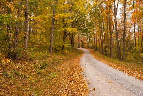
autumn fall fallcolor dirtroads countryroads countryscenes nikond60 rosehillva leecountyvirginia backroadphotography kjerrellimges
Through the Woods
rural fence virginia farm leecounty
Rolling Hills
autumn autumncolors fall backroadphotography colorful wallenscreek penningtongap virginia nikond60 funny streams water nature naturalbeauty reflections leecountyva madeitoutalive skinnedupleg swollen hurtlikethedickens
What We Do For a Photo
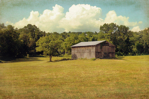
sky clouds barn landscape virginia farm explore leecounty blueribbonwinner supershot mywinners platinumphoto anawesomeshot goldstaraward
Friendship Farm
morning autumn fall water misty fog rural virginia colorful calm rivers serene streams leecounty powellriver jonesville backroadphotography kjerrellimages flanarybridge
Morning Light On The Powell
nikon d750
Creech Success
road autumn fall water misty fog reflections virginia rocks rivers mornings tobacco leecounty powellriver jonesville nikond60 backroadphotography kjerrellimages
Autumn On The Powell
Martin's Fork Lake - Harlan, KY
rural virginia farm leecounty
Fifty miles of elbow room
trees winter snow barn virginia ridge leecounty wallensridge
Winter must be cold for those with no warm memories
Martins Fork Lake
May 14, 2018
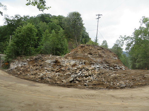
Construction on KY 987
lake creek kentucky cattails harlancounty
Cranks Creek Lake
Martins Fork Lake