Elevation of Elwell Ave, Darrington, WA, USA
Location: United States > Washington > Darrington >
Longitude: -121.60061
Latitude: 48.2491254
Elevation: 174m / 571feet
Barometric Pressure: 99KPa
Elevation Map:
Satellite Map:
Related Photos:
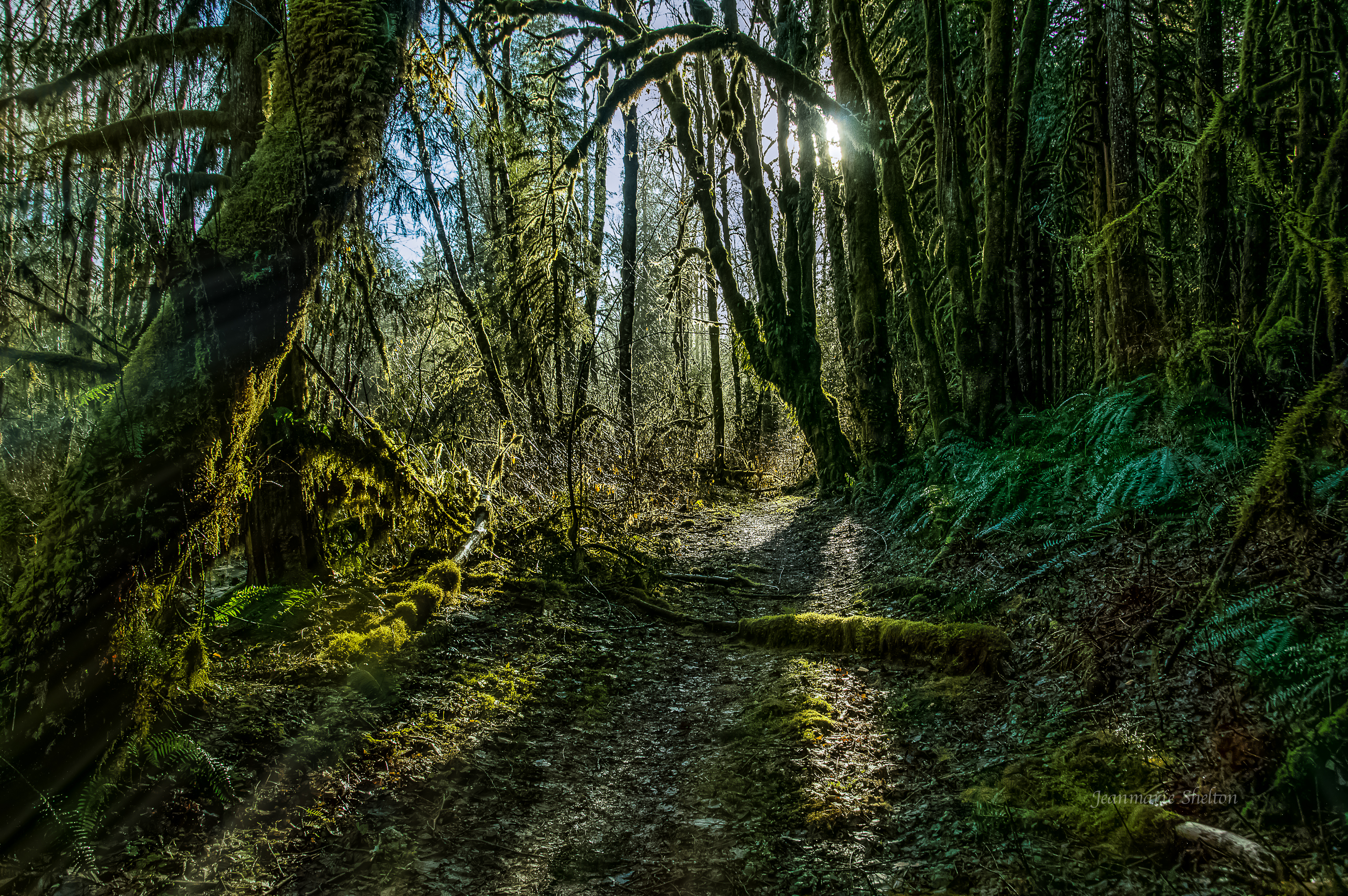
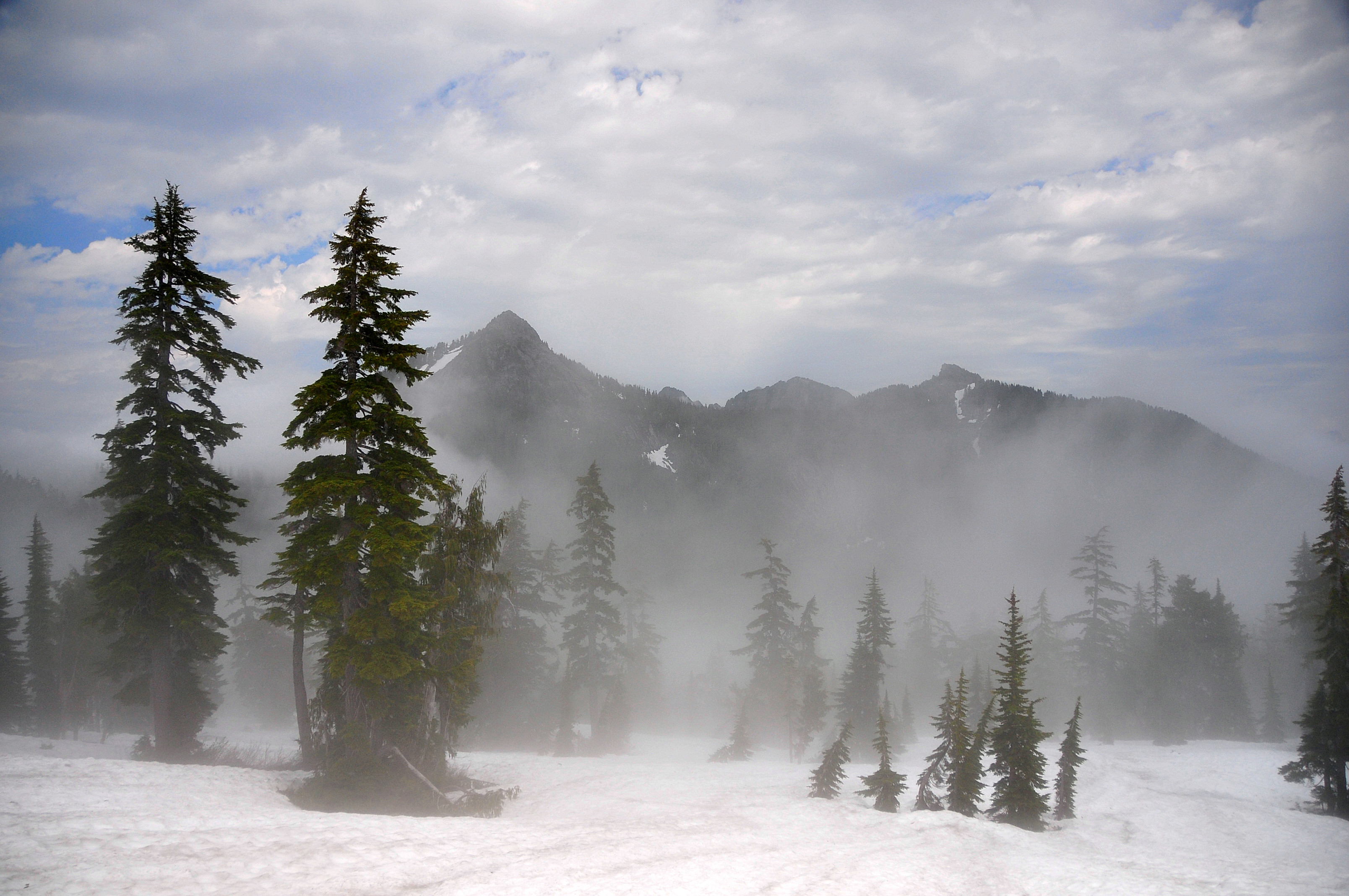
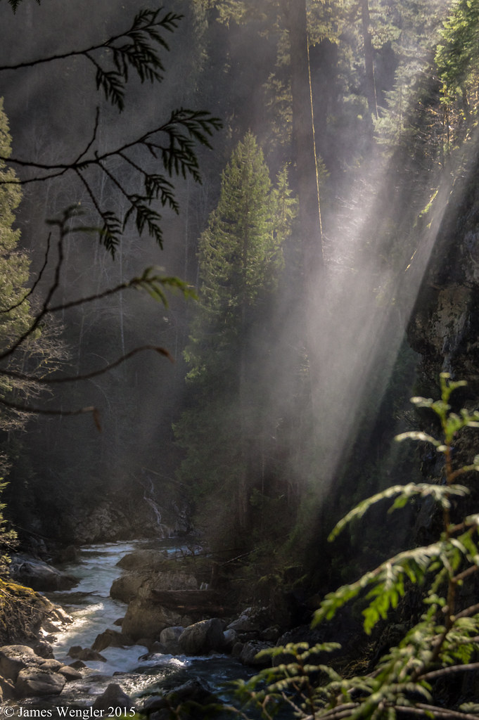
The Emerald Forest (Best viewed full screen).

P6140173.sm

P6140136.sm

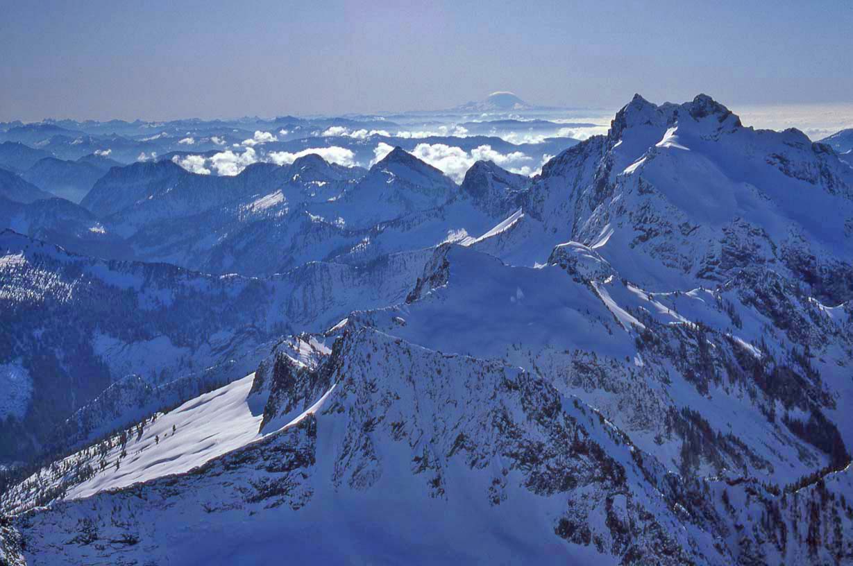
View From The Summit Of Three Fingers
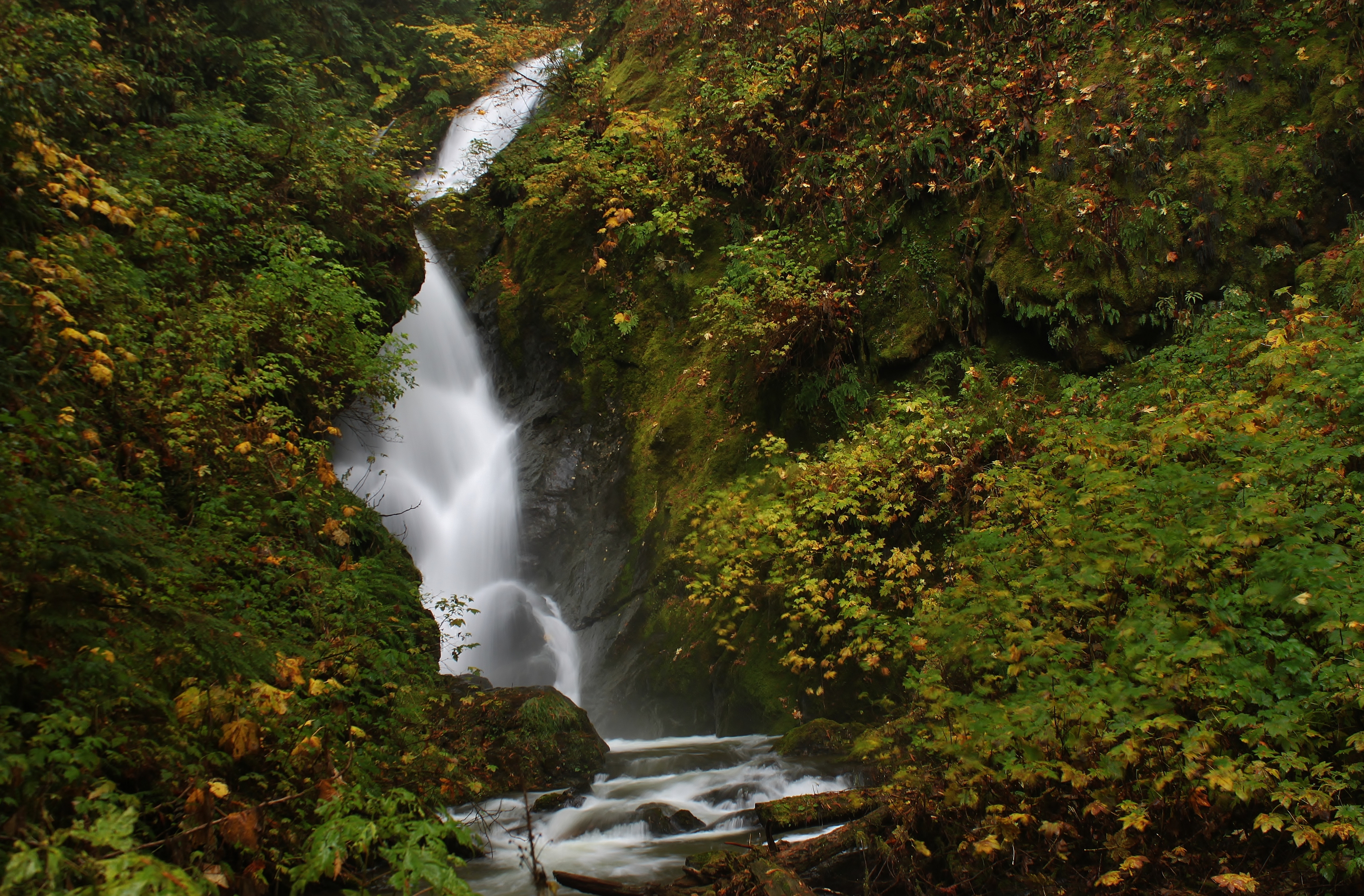
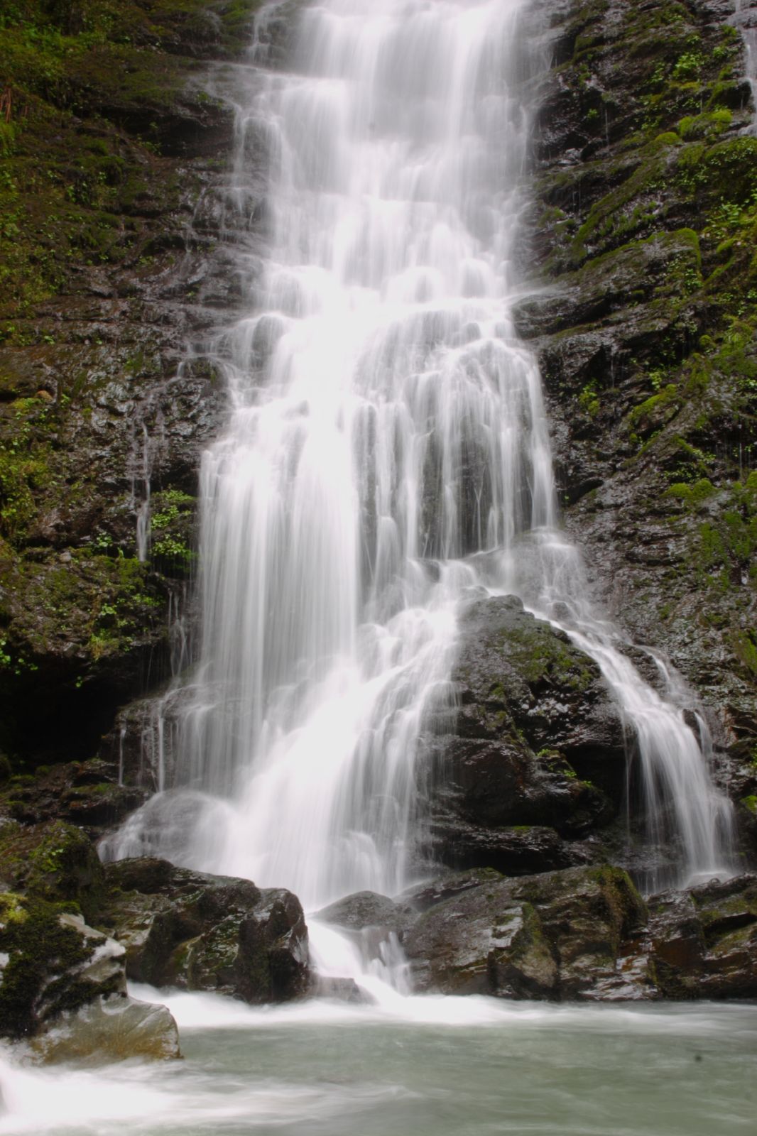
Middle Furland Falls Horizontal

Vesper Sparrow (7785) (rare for Snowhomish County)
Anniversary Trip - 071

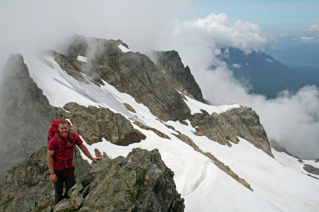
Three Fingers
Cloudy view
1986-011 White Horse Mtn Feb-1986 View fr Summit
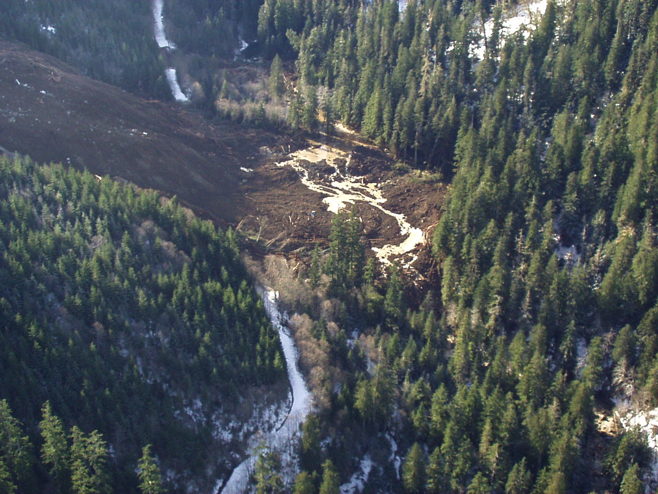
Jumbo Mountain landslide - 2/25/2002
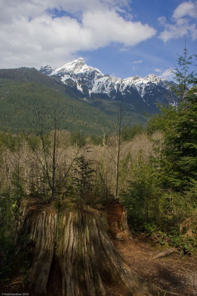
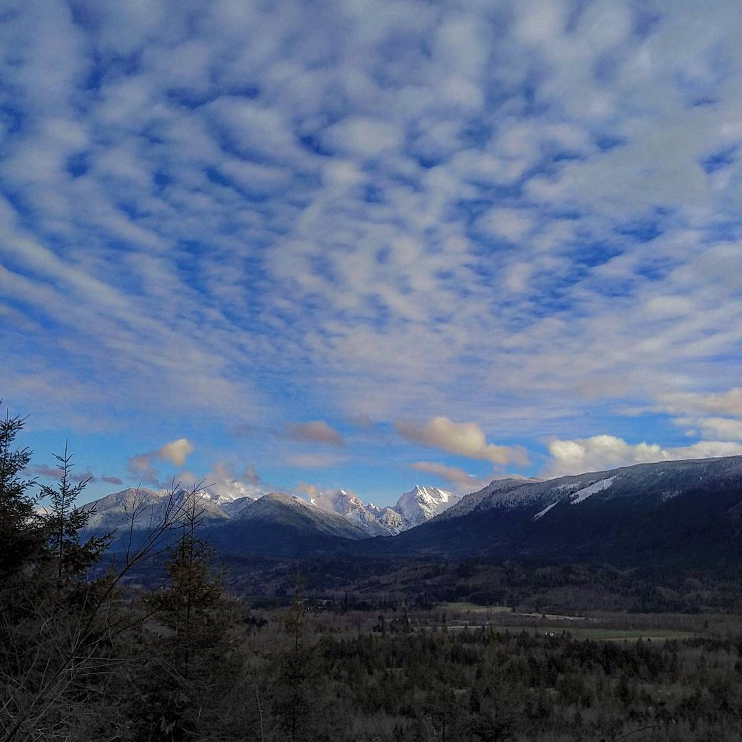
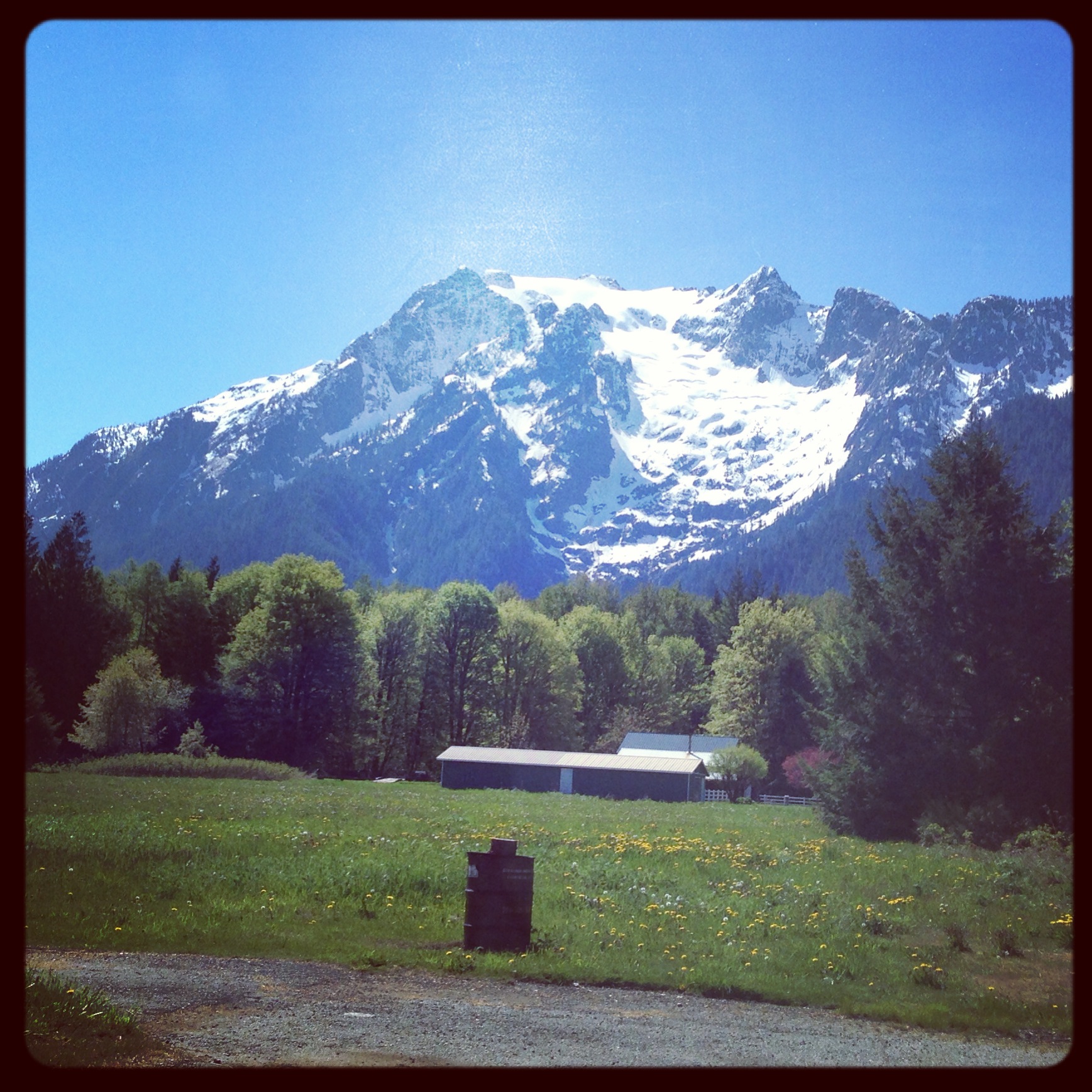
Darrington Mountains View 2

Three Fingers Fire Lookout
Higher Squire
Love finding views like these. #photography #landscape #cduncanphoto #pnw
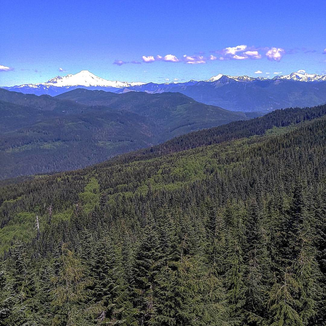
View of #mountbaker from #north #mountain #fire #lookout
Helena Peak

Panoramic view
View of the Ab-Qwest Glacier
North Cascades
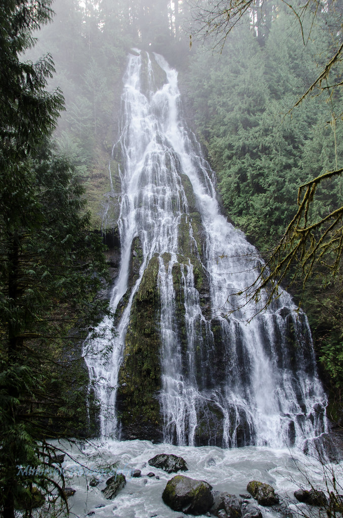
Boulder River 3rd Falls
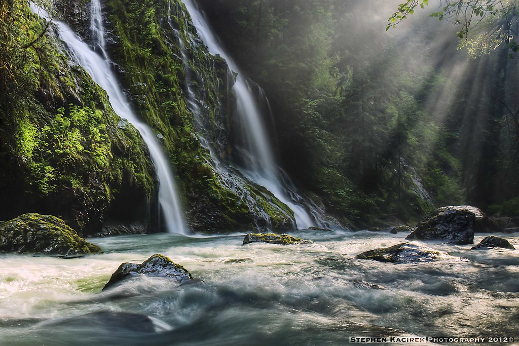
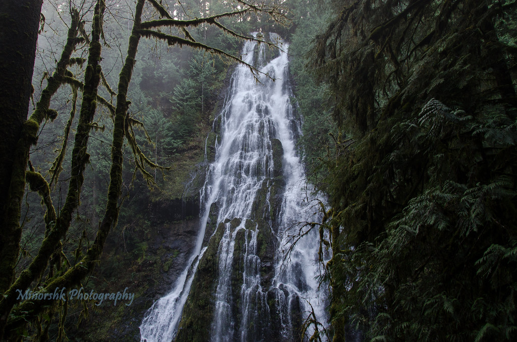
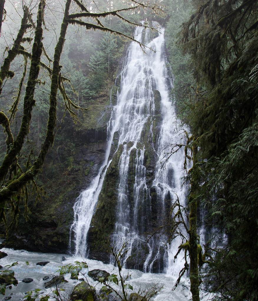
Feature Show Falls
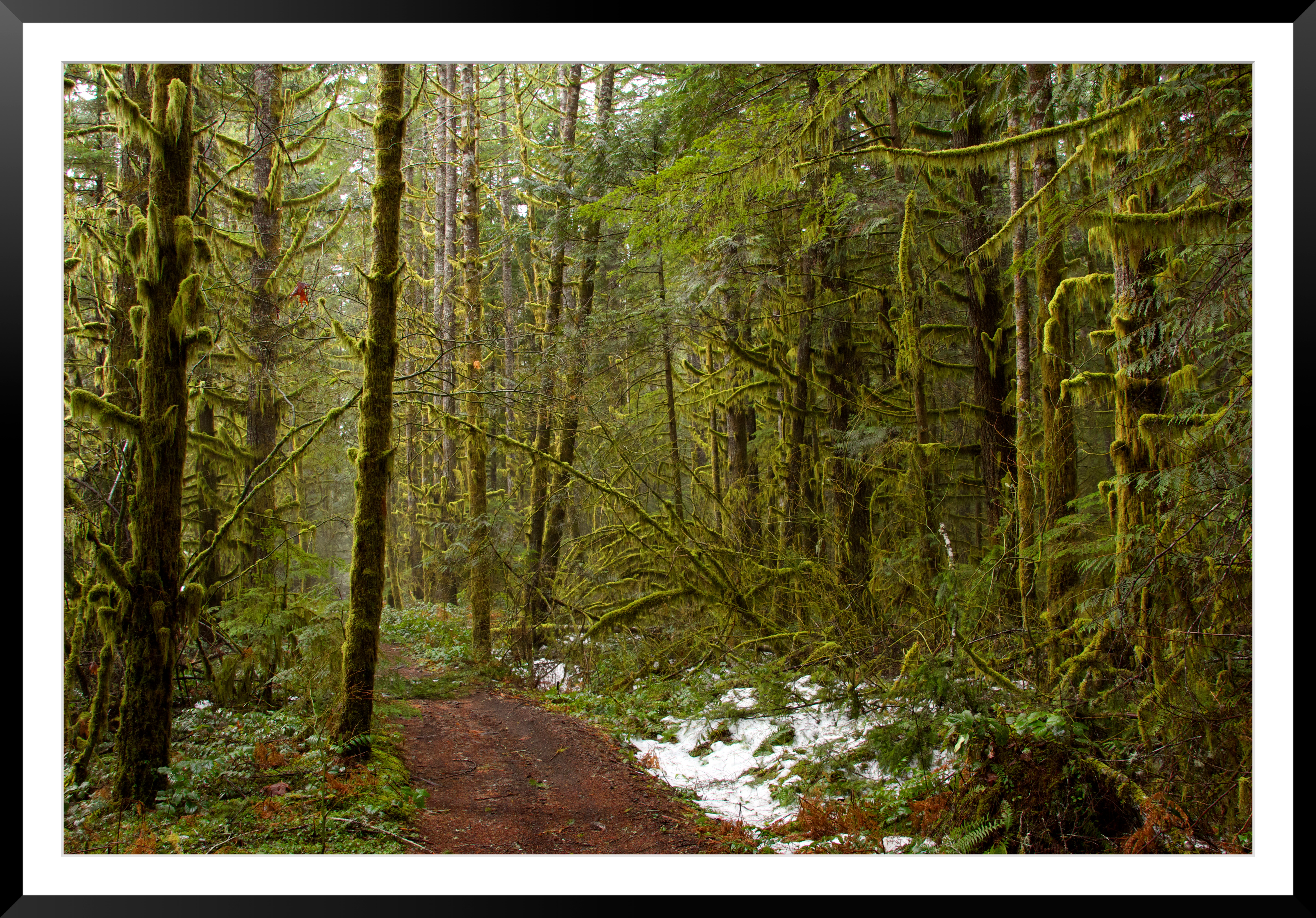
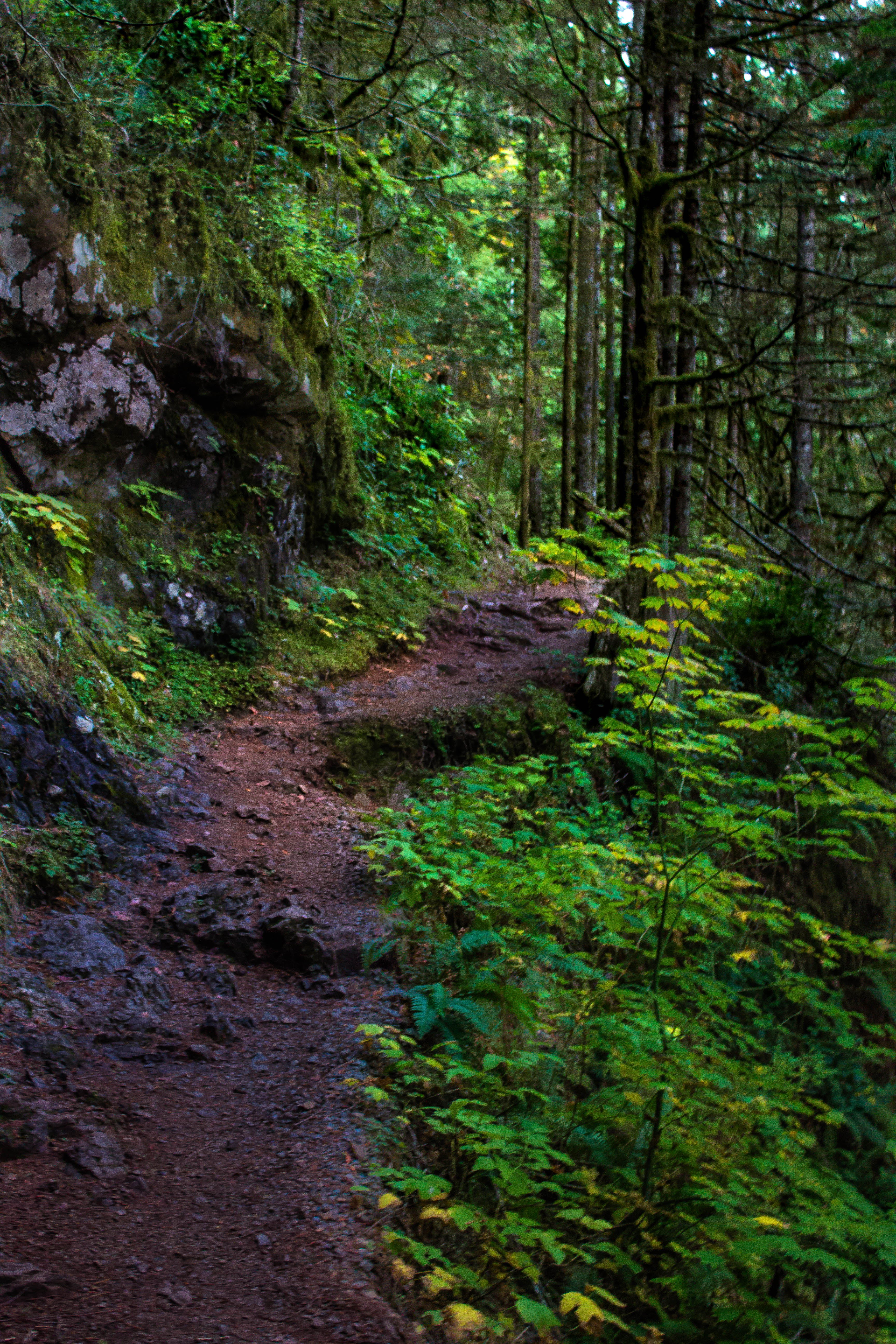
A Path of Green
Winter's Foothold
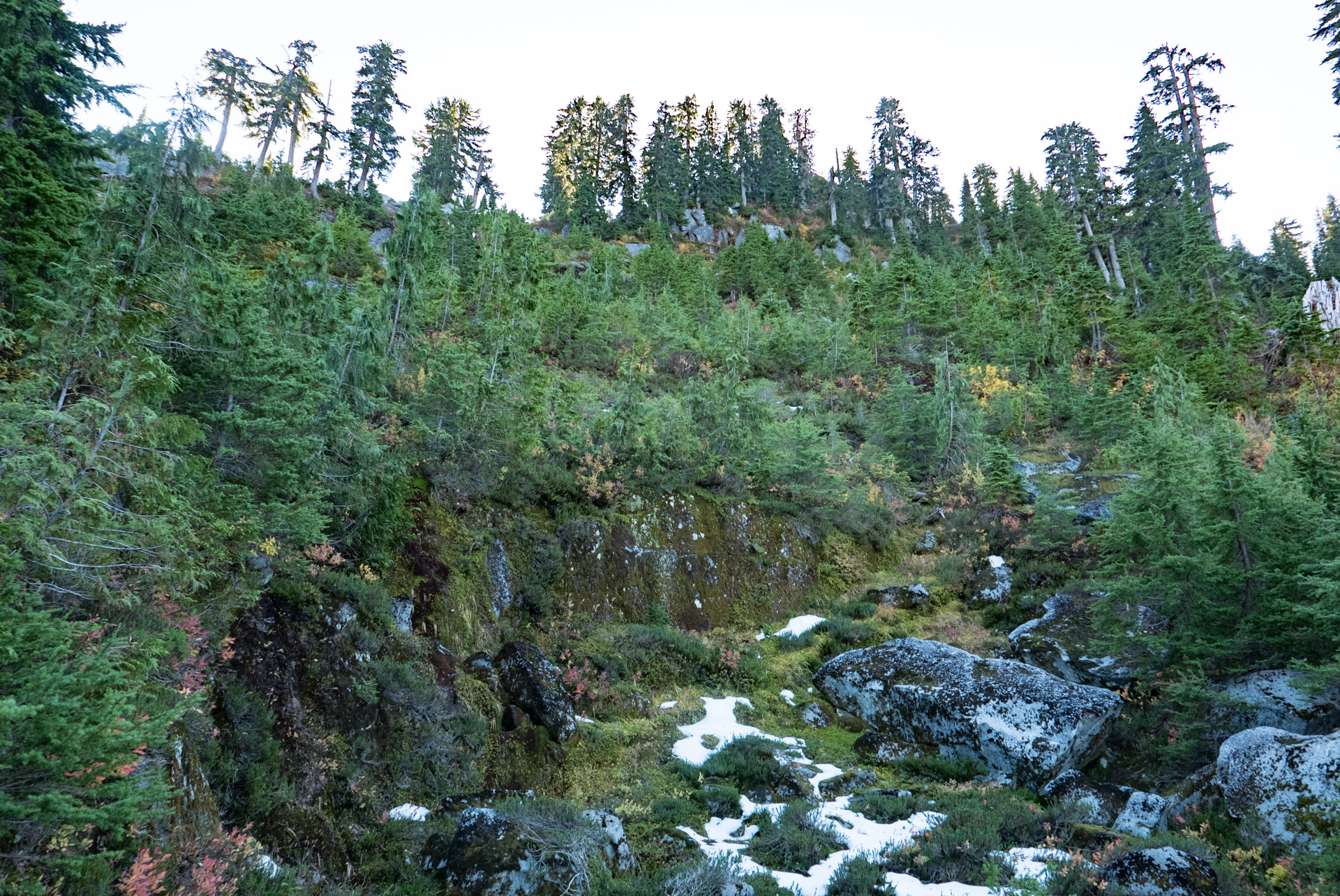
Boulder River Trail
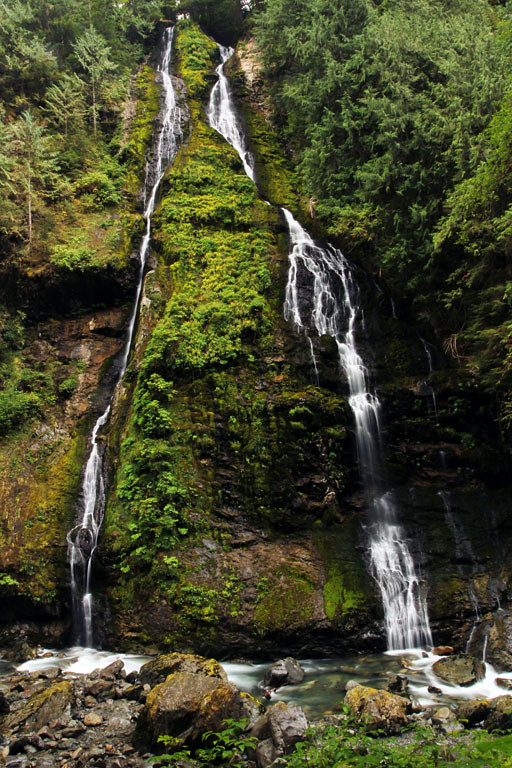
Feature Show Falls

Snow capped
Boulder River Trail
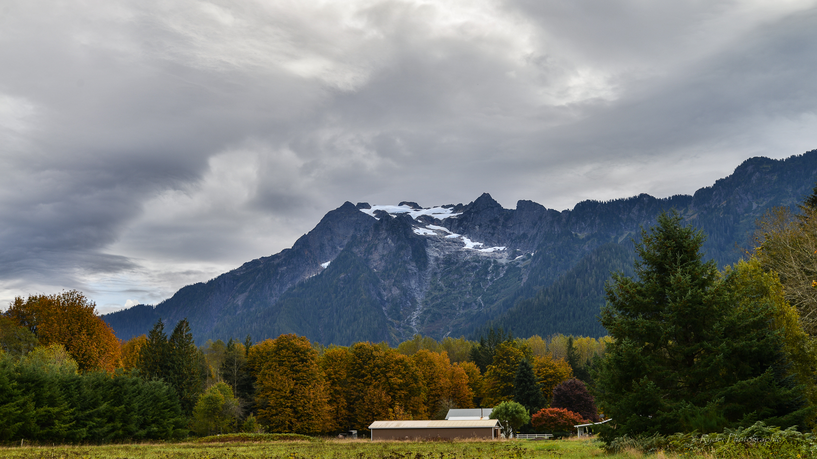
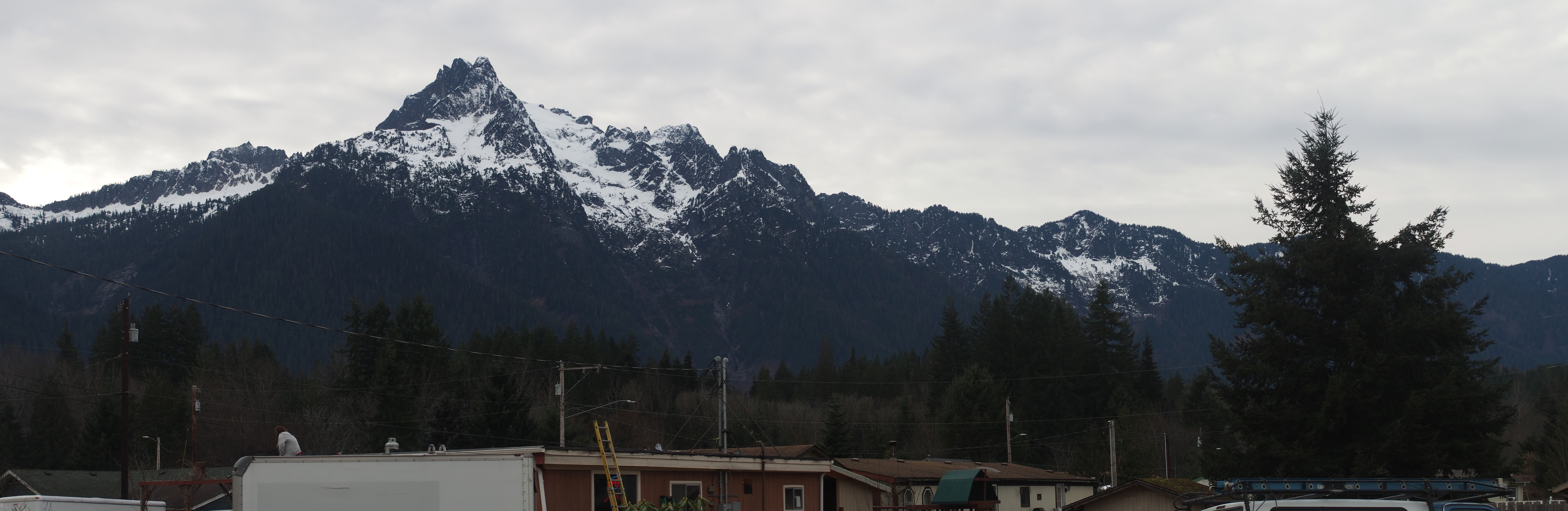
Whitehorse Mountain

Boulder Creek Trail-3.jpg
Carol on steep slope
Whitehorse Mountain

Boulder River Trail
Boulder Creek Trail-8.jpg
SAUK FALLS MIST-01
Boulder Creek Trail-4.jpg
Country Scene
Boulder River Trail
Boulder Creek Trail-41.jpg
Topographic Map of Elwell Ave, Darrington, WA, USA
Find elevation by address:

Places near Elwell Ave, Darrington, WA, USA:
Darrington
Darrington Hardware
North Mountain Road
Sauk Prairie Rd, Darrington, WA, USA
39903 E Whitehorse Dr
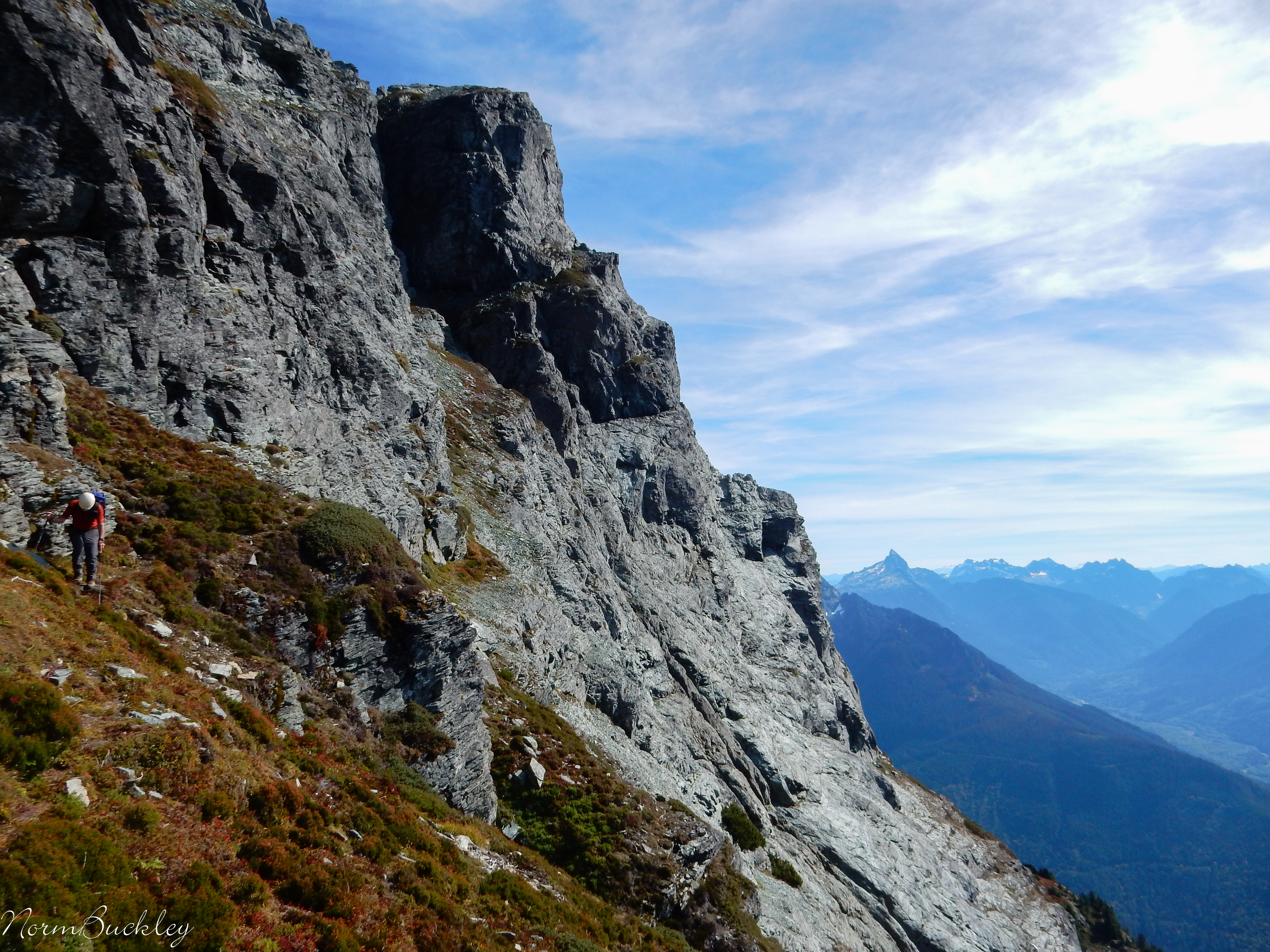
Three Fingers
Three Fingers Lookout
Prairie Mountain
Beaver Creek Group Camp
White Chuck Mountain
Mount Vernon-anacortes, Wa
Skagit County
Illabot Peaks
Mount Forgotten
Big Four Mountain
Mount Dickerman
Finney Creek Road
33924 Mountain Loop Hwy
Rockport
33914 Mountain Loop Hwy
Recent Searches:
- Elevation of Co Rd 87, Jamestown, CO, USA
- Elevation of Tenjo, Cundinamarca, Colombia
- Elevation of Côte-des-Neiges, Montreal, QC H4A 3J6, Canada
- Elevation of Bobcat Dr, Helena, MT, USA
- Elevation of Zu den Ihlowbergen, Althüttendorf, Germany
- Elevation of Badaber, Peshawar, Khyber Pakhtunkhwa, Pakistan
- Elevation of SE Heron Loop, Lincoln City, OR, USA
- Elevation of Slanický ostrov, 01 Námestovo, Slovakia
- Elevation of Spaceport America, Co Rd A, Truth or Consequences, NM, USA
- Elevation of Warwick, RI, USA