Elevation of Prairie Mountain, Washington, USA
Location: United States > Washington > Darrington >
Longitude: -121.47123
Latitude: 48.275111
Elevation: 1596m / 5236feet
Barometric Pressure: 84KPa
Elevation Map:
Satellite Map:
Related Photos:
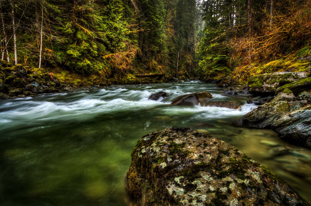
365/20 - Consolation Prize - 1
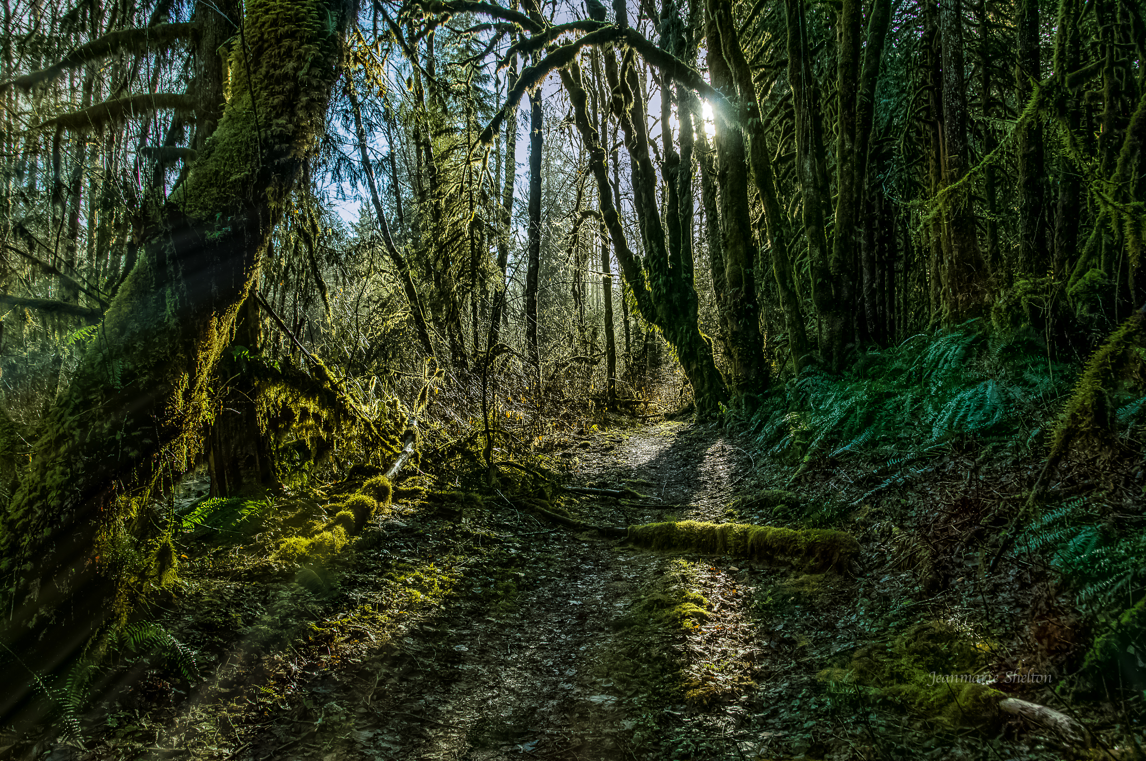
The Emerald Forest (Best viewed full screen).
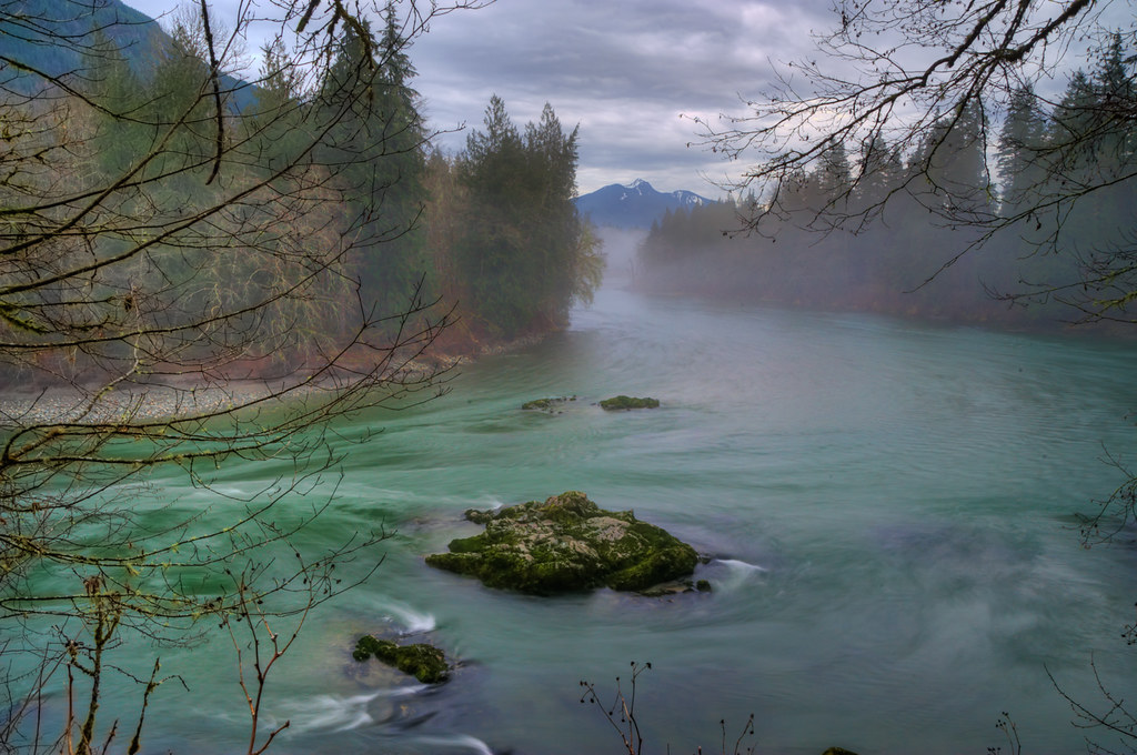
A River Runs Through It HDR
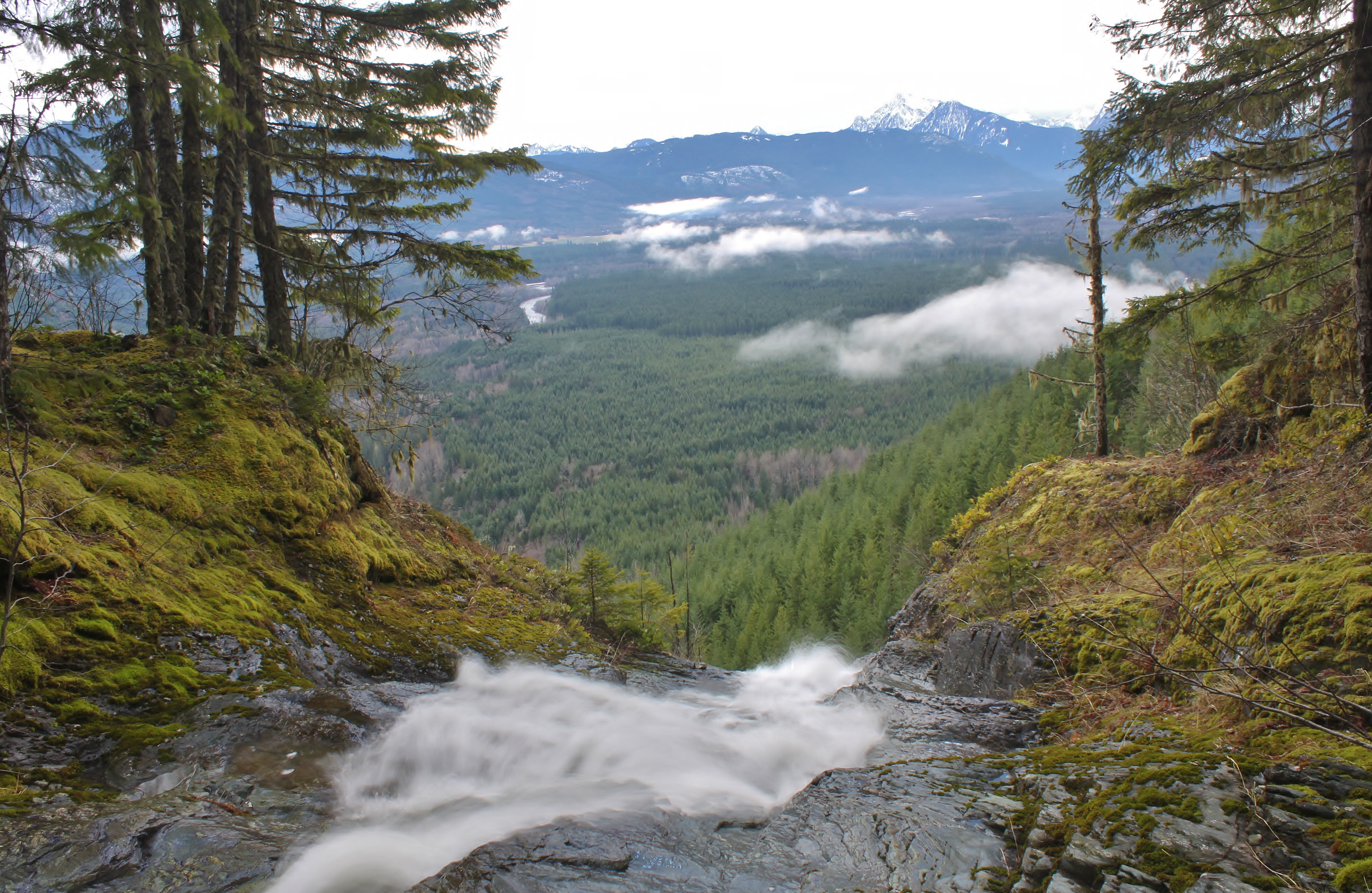
Over the Top of Suiattle Falls
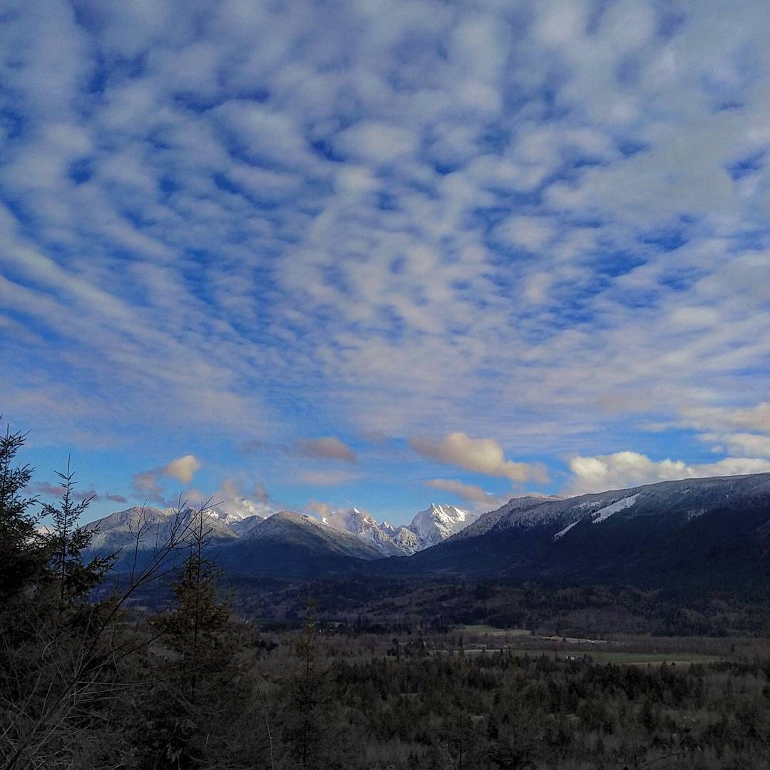
Love finding views like these. #photography #landscape #cduncanphoto #pnw
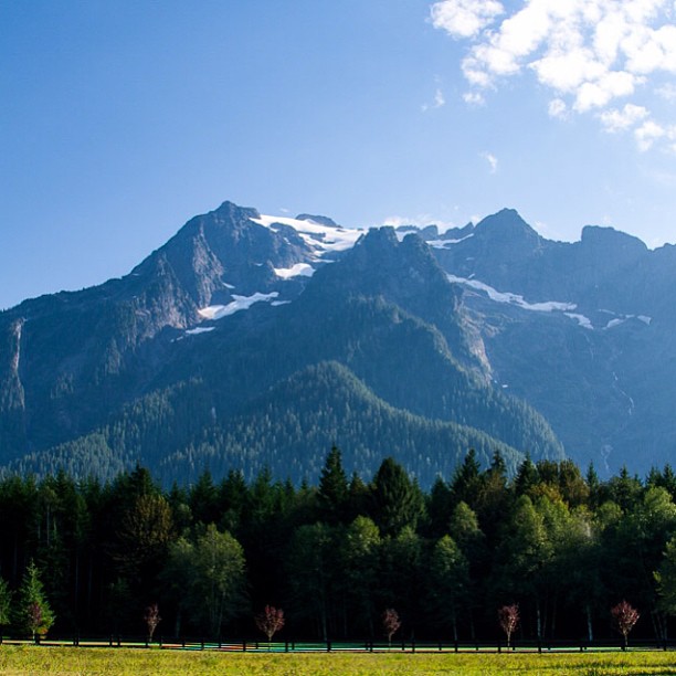
late summer view of Whitehorse Mountain from Campbell Family Farm #latergram #labordayweekend #mountain #PNW #family #reunion #homestead
Anniversary Trip - 071
Topographic Map of Prairie Mountain, Washington, USA
Find elevation by address:

Places near Prairie Mountain, Washington, USA:
Sauk Prairie Rd, Darrington, WA, USA
White Chuck Mountain
Darrington
670 Elwell Ave
North Mountain Road
Illabot Peaks
Darrington Hardware
Hurricane Peak
Mount Forgotten
Beaver Creek Group Camp
Twin Peaks East
Mount Dickerman
39903 E Whitehorse Dr
Bedal Peak
Big Four Mountain
Three Fingers
Three Fingers Lookout
Rockport
Marblemount
Razorback Mountain
Recent Searches:
- Elevation of Corso Fratelli Cairoli, 35, Macerata MC, Italy
- Elevation of Tallevast Rd, Sarasota, FL, USA
- Elevation of 4th St E, Sonoma, CA, USA
- Elevation of Black Hollow Rd, Pennsdale, PA, USA
- Elevation of Oakland Ave, Williamsport, PA, USA
- Elevation of Pedrógão Grande, Portugal
- Elevation of Klee Dr, Martinsburg, WV, USA
- Elevation of Via Roma, Pieranica CR, Italy
- Elevation of Tavkvetili Mountain, Georgia
- Elevation of Hartfords Bluff Cir, Mt Pleasant, SC, USA