Elevation of Illabot Peaks, Washington, USA
Location: United States > Washington > Marblemount >
Longitude: -121.45984
Latitude: 48.4087264
Elevation: 1740m / 5709feet
Barometric Pressure: 82KPa
Elevation Map:
Satellite Map:
Related Photos:

The Gathering; Bring Forward
How Long Will All This Last?
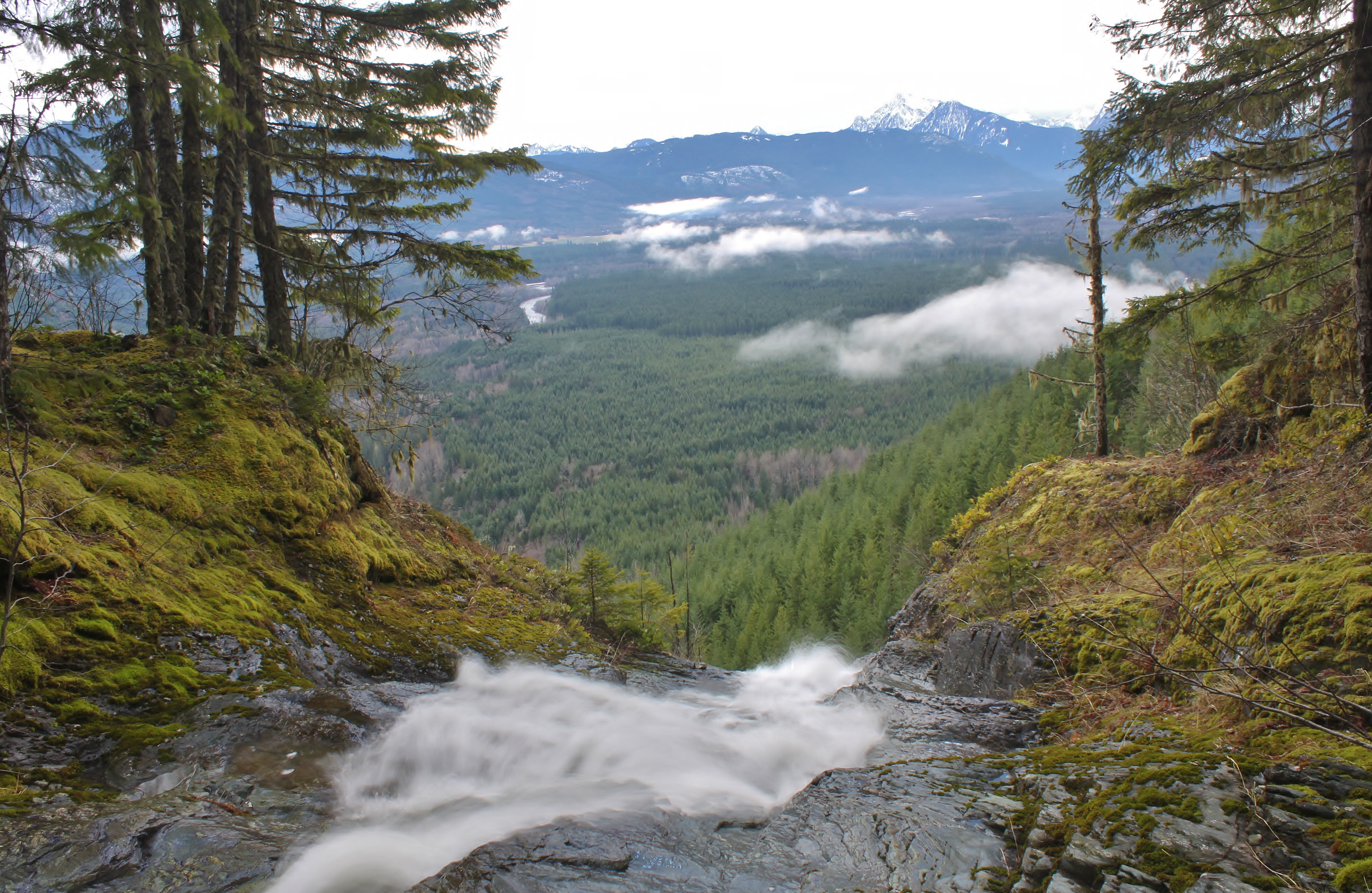
Over the Top of Suiattle Falls
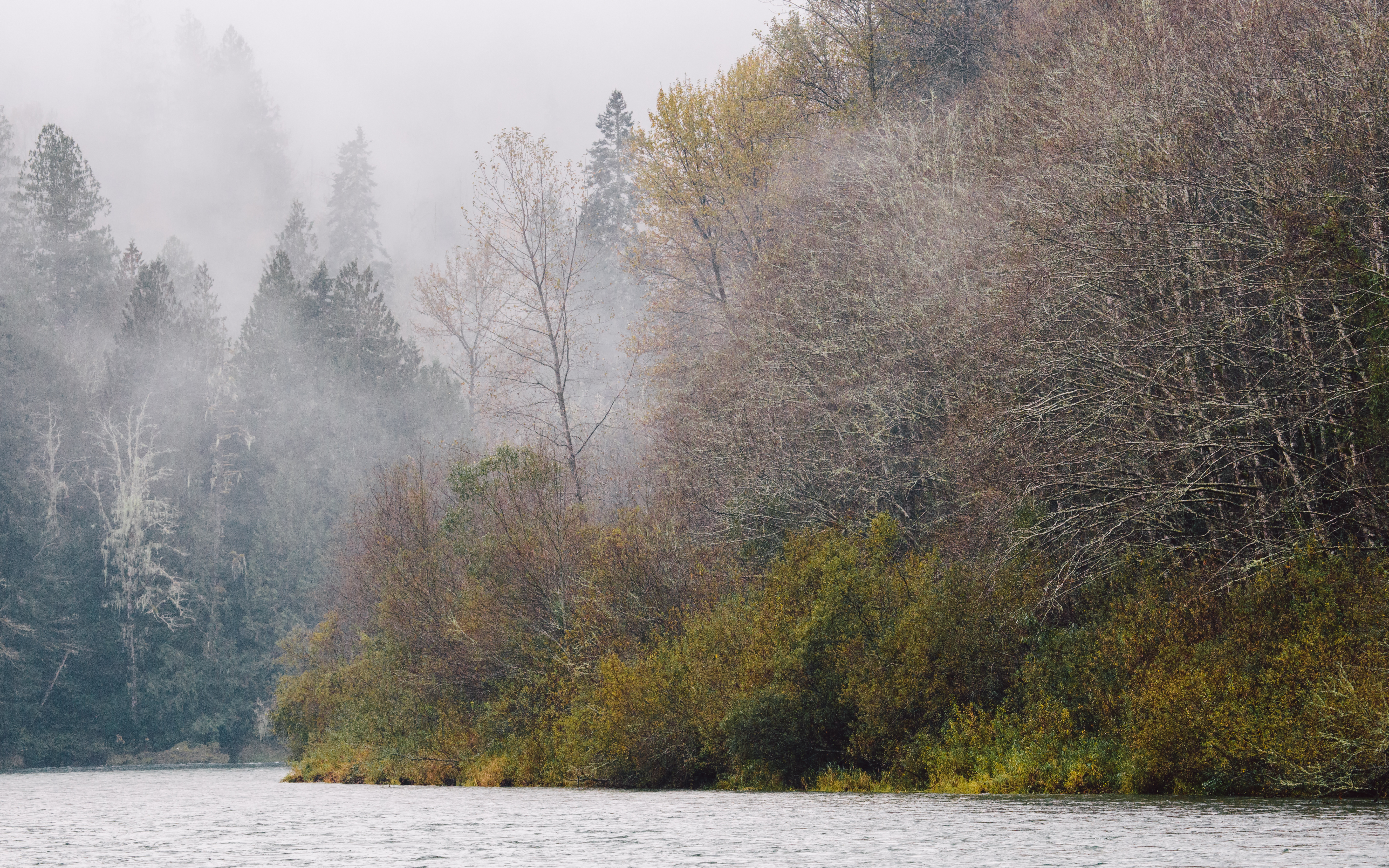
View as we paddle down the Skagit.

The Ancients
365/20 - Consolation Prize - 1
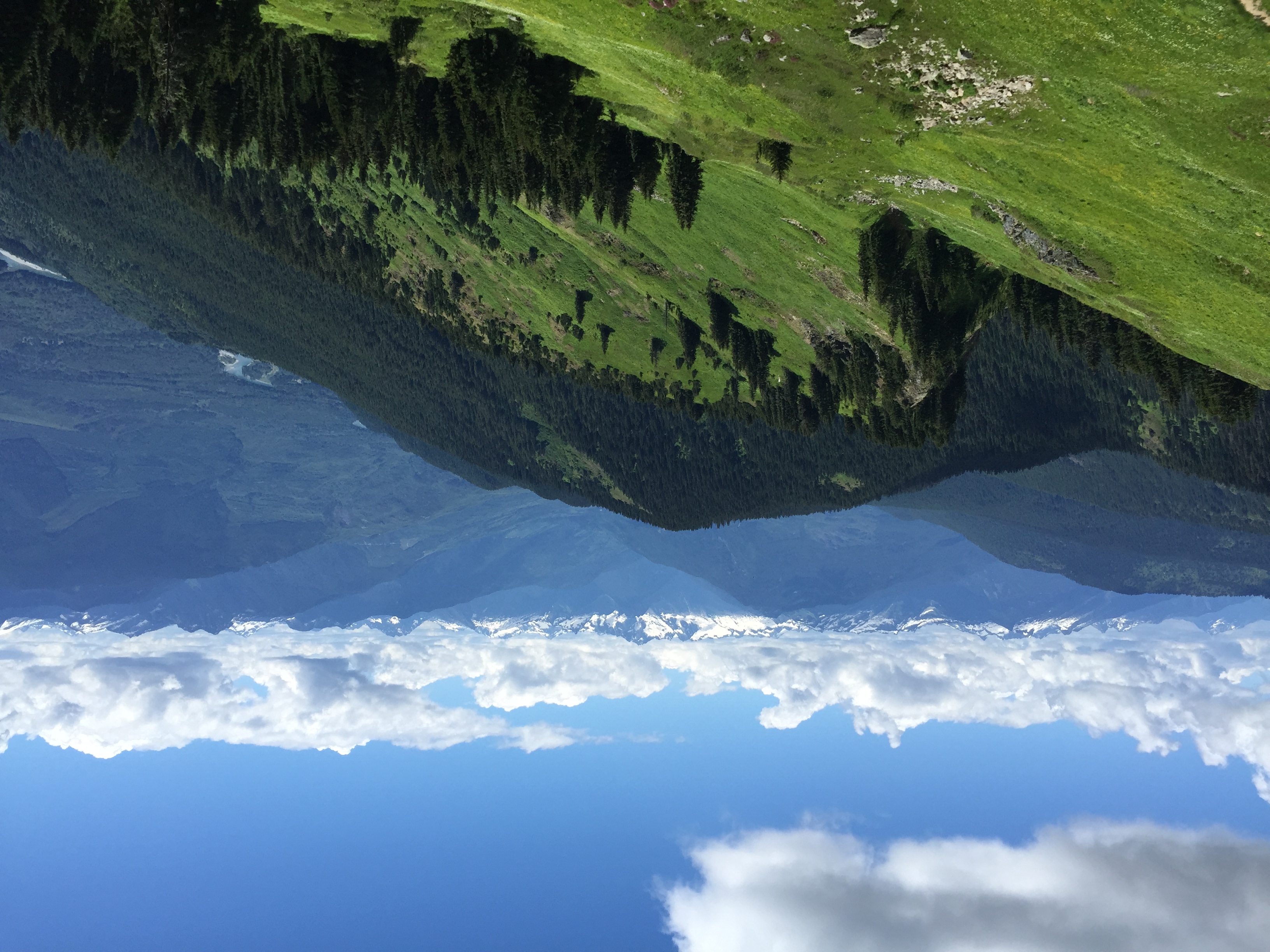
View from the top of Sauk Mt
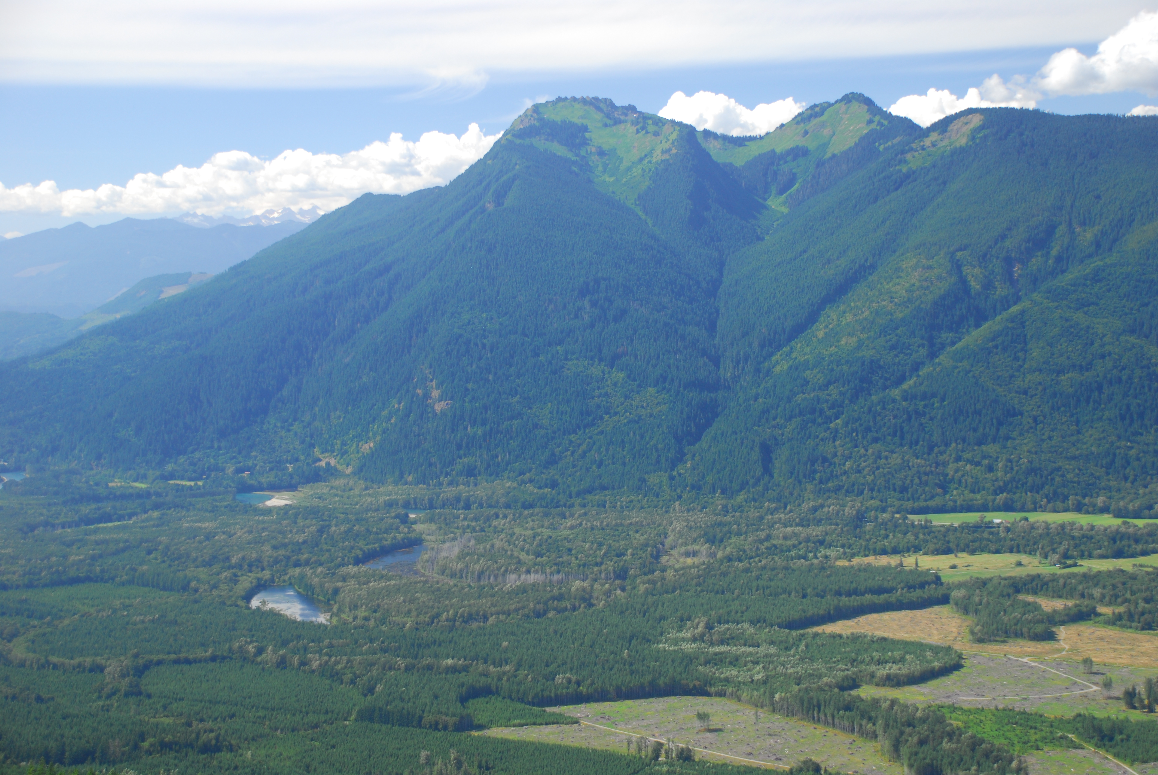
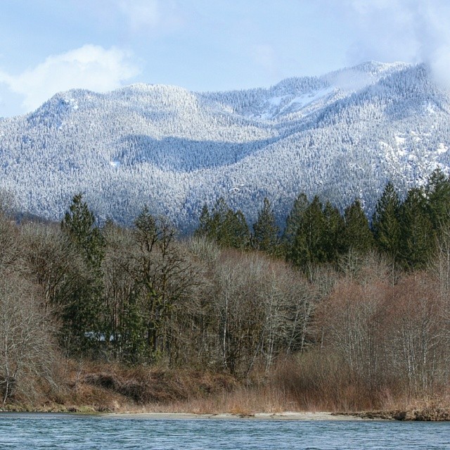
Sauk Mountain and Skagit Valley
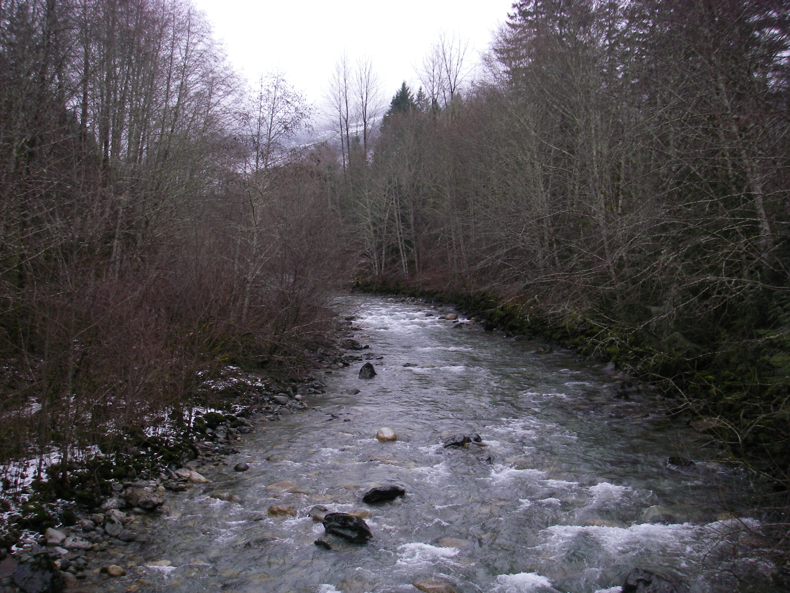
Illabot Creek, WA
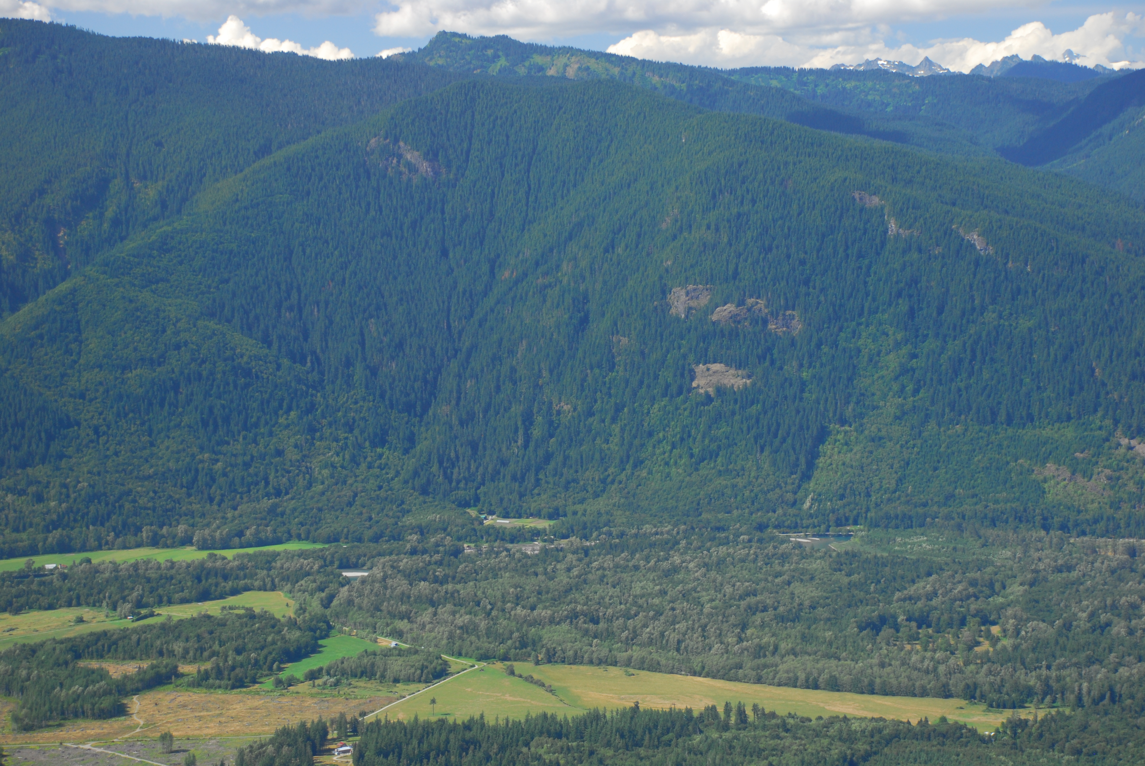
Illabot Creek Confluence in Skagit Valley
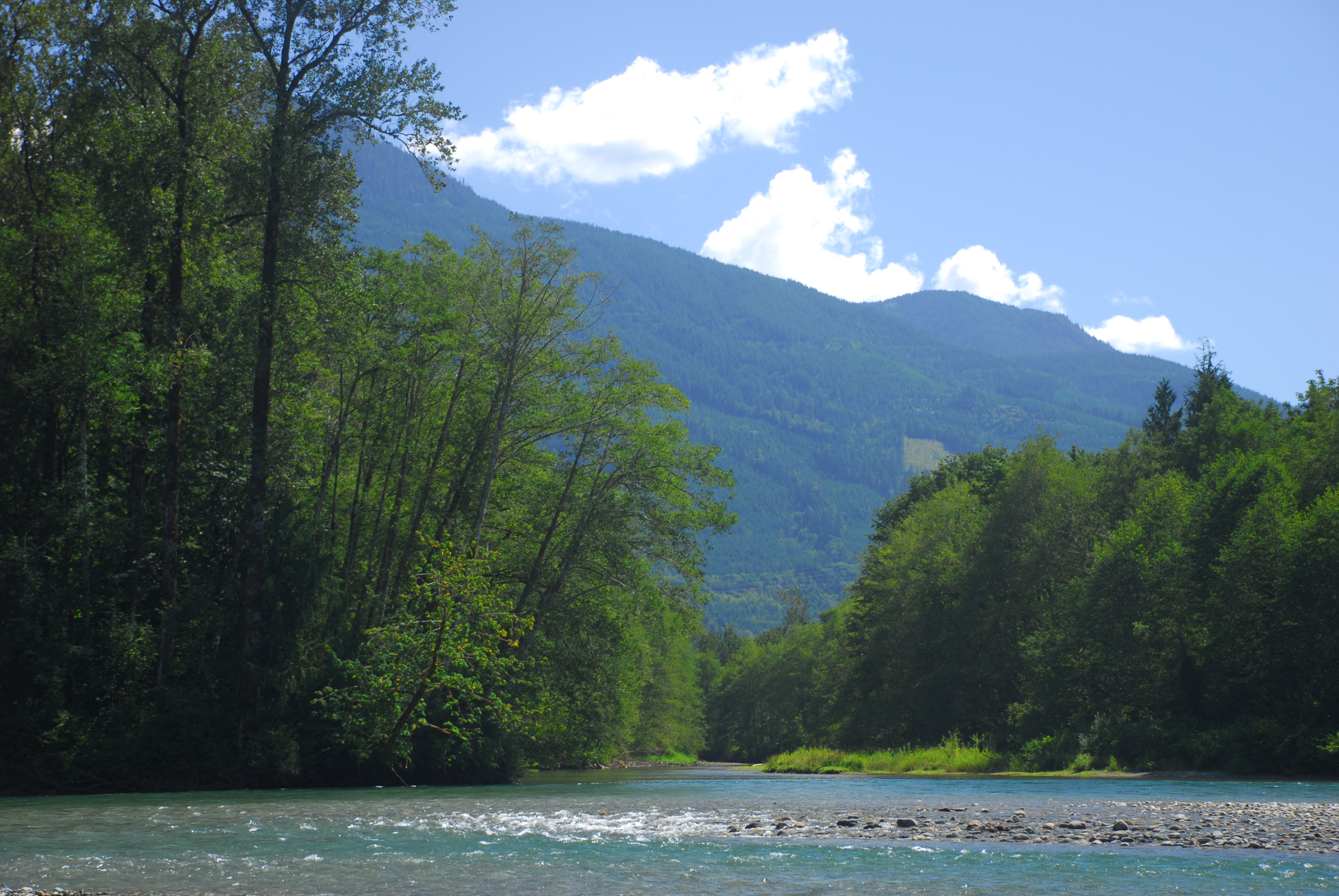
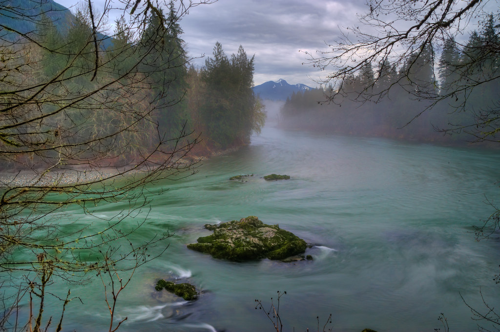
Illabot Creek Confluence with Skagit River
Topographic Map of Illabot Peaks, Washington, USA
Find elevation by address:

Places near Illabot Peaks, Washington, USA:
Marblemount
Sauk Prairie Rd, Darrington, WA, USA
Prairie Mountain
60991 Wa-20
60647 Kitsap Ct
Rockport
Razorback Mountain
Hurricane Peak
Sauk Mountain Trail
Sauk Mountain
B W Rd, Marblemount, WA, USA
North Mountain Road
White Chuck Mountain
Darrington
670 Elwell Ave
Darrington Hardware
Marble Creek Campground
Finney Creek Road
48893 Concrete Sauk Valley Rd
Mount Vernon-anacortes, Wa
Recent Searches:
- Elevation of Corso Fratelli Cairoli, 35, Macerata MC, Italy
- Elevation of Tallevast Rd, Sarasota, FL, USA
- Elevation of 4th St E, Sonoma, CA, USA
- Elevation of Black Hollow Rd, Pennsdale, PA, USA
- Elevation of Oakland Ave, Williamsport, PA, USA
- Elevation of Pedrógão Grande, Portugal
- Elevation of Klee Dr, Martinsburg, WV, USA
- Elevation of Via Roma, Pieranica CR, Italy
- Elevation of Tavkvetili Mountain, Georgia
- Elevation of Hartfords Bluff Cir, Mt Pleasant, SC, USA