Elevation of East St, Huntington, VT, USA
Location: United States > Vermont > Chittenden County > Huntington >
Longitude: -72.963010
Latitude: 44.3232398
Elevation: 266m / 873feet
Barometric Pressure: 98KPa
Elevation Map:
Satellite Map:
Related Photos:

Spring in Vermont

Bolton Potholes(2)

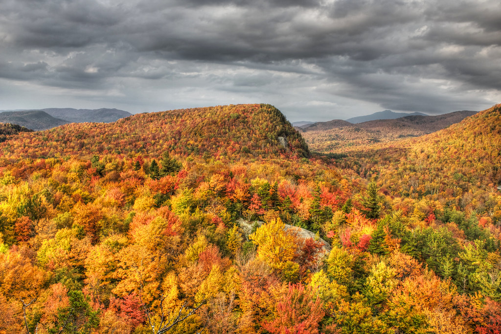
Autumn Colours

Winooski River

Ap Gap

Vermont Supper

Another Day is Gone

Camel's Hump

The View From Libby's Look

A View From Above

Camel's Hump

as far as the eye can see

View of Village Housing and Streetscape on Fredric Way, Hinesburg VT

The Old Round Church (1813) – organ from above

View from the Summit

Lake Iroquois

Camel's Hump view

Camel's Hump view
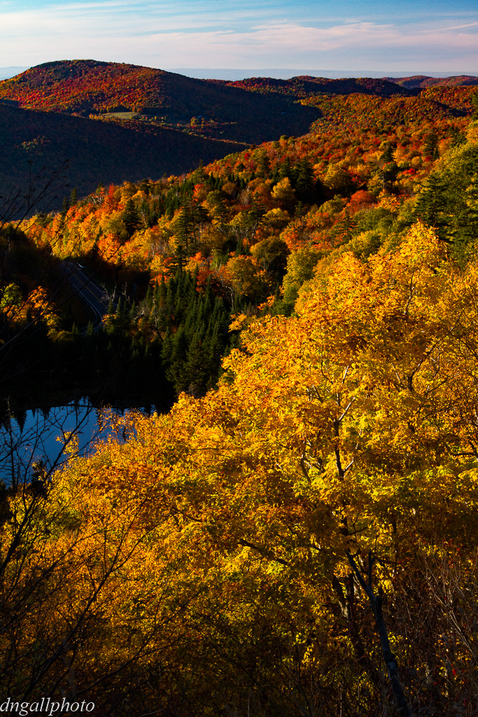
West Bolton, Vermont - Autumn 2012
Appalachian Gap
No View today

The orange barn

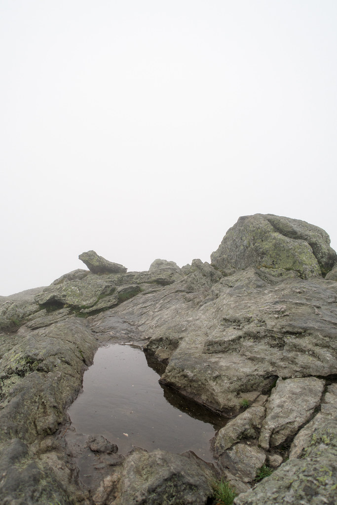
Potholes(3)

???? Vermont

Camel's Hump Summit Sunrise (re-processed)

Summit, Moon, Camel's Hump

The Green Mountains

Camel's Hump Sunrise, Square

Moser's Folly

Appalachian Gap
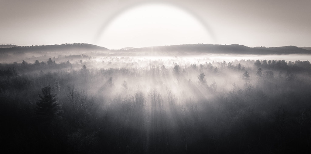
Morning fog in the backyard

Round Bale Sun
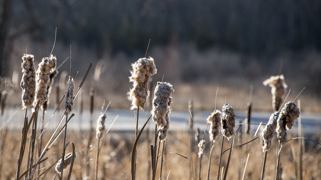
Cattail coming out party

Russell Tree Farm Pond

Camel's Hump Sunrise (re-processed)

Mill Brook Falls

Little Cloud, Camel's Hump (re-process)

back road
Topographic Map of East St, Huntington, VT, USA
Find elevation by address:

Places near East St, Huntington, VT, USA:
Huntington
Wes White Hill
Huntington Gorge
Dugway Road
2374 Dugway Rd
255 Moulton Dr
20 Lily Pond Cir
164 Ladensack Ln
Chittenden County
1954 Texas Hill Rd
Richmond
Camel's Hump State Park
100 W Main St
1140 Williams Hill Rd
575 Wortheim Ln
16 Joiner Ln, Waterbury, VT, USA
1379 Williams Hill Rd
1379 Williams Hill Rd
Bolton
66 Curtis Ln
Recent Searches:
- Elevation of 6 Rue Jules Ferry, Beausoleil, France
- Elevation of Sattva Horizon, 4JC6+G9P, Vinayak Nagar, Kattigenahalli, Bengaluru, Karnataka, India
- Elevation of Great Brook Sports, Gold Star Hwy, Groton, CT, USA
- Elevation of 10 Mountain Laurels Dr, Nashua, NH, USA
- Elevation of 16 Gilboa Ln, Nashua, NH, USA
- Elevation of Laurel Rd, Townsend, TN, USA
- Elevation of 3 Nestling Wood Dr, Long Valley, NJ, USA
- Elevation of Ilungu, Tanzania
- Elevation of Yellow Springs Road, Yellow Springs Rd, Chester Springs, PA, USA
- Elevation of Rēzekne Municipality, Latvia