Elevation of Dugway Rd, Richmond, VT, USA
Location: United States > Vermont > Chittenden County > Richmond >
Longitude: -72.98024
Latitude: 44.365585
Elevation: 153m / 502feet
Barometric Pressure: 99KPa
Elevation Map:
Satellite Map:
Related Photos:

Firefly Lightshow

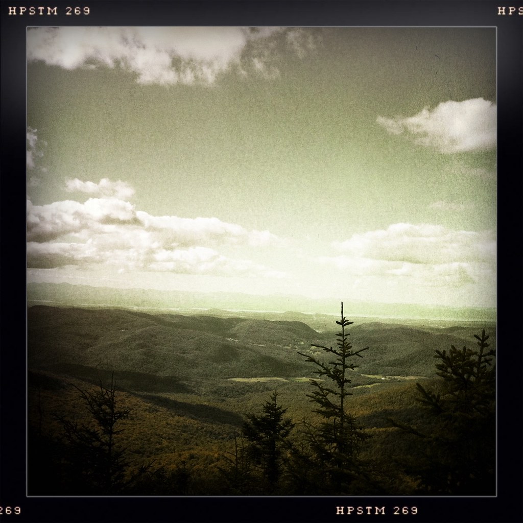
A view from near the summit...
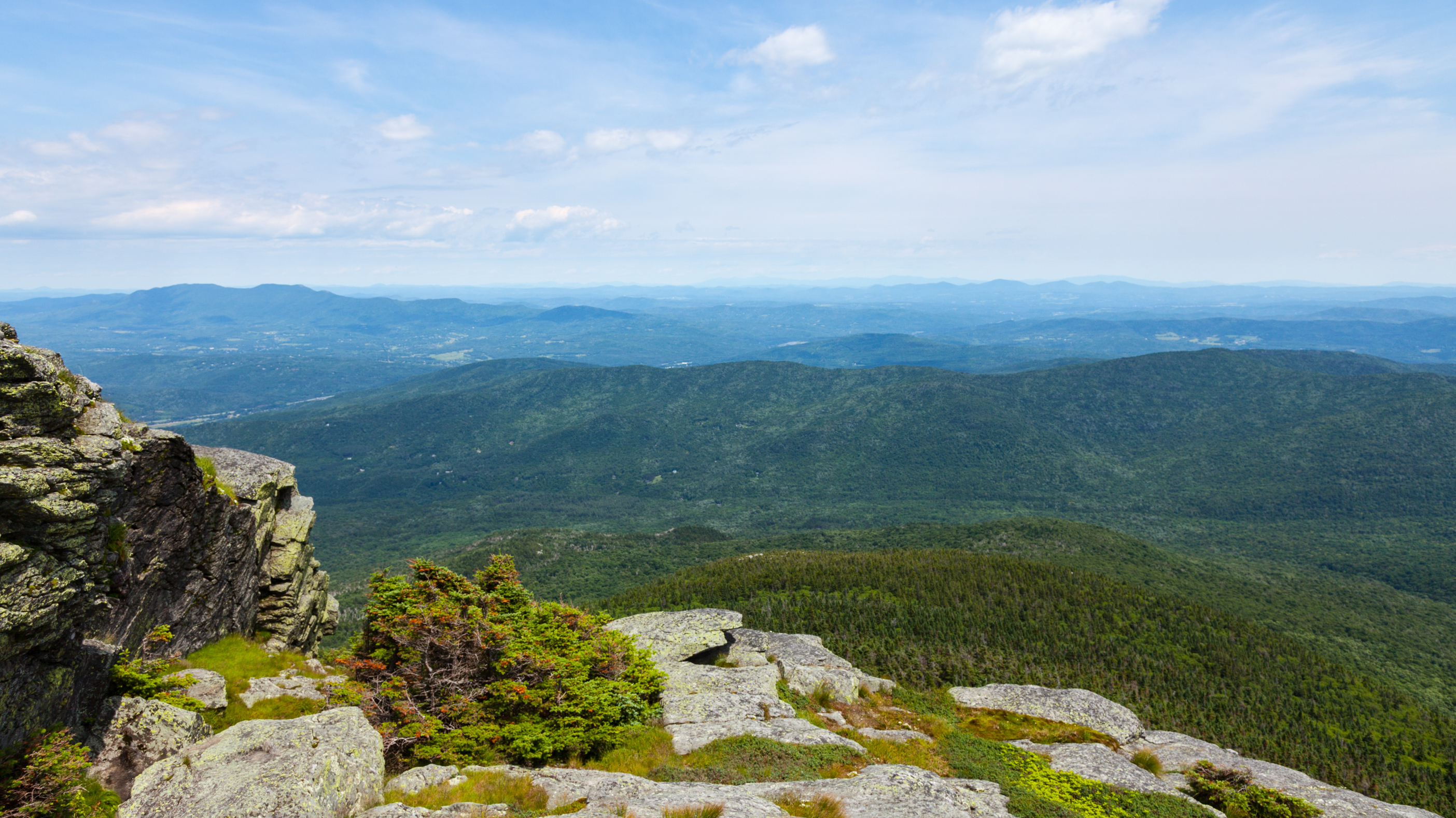
view from burnt rock

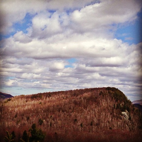
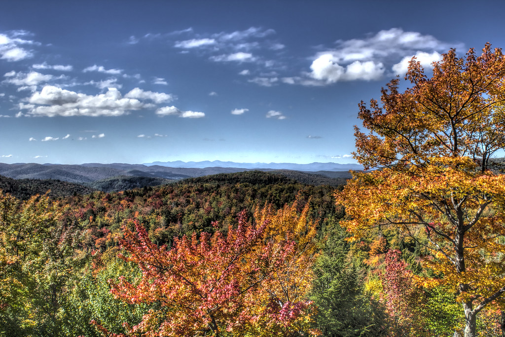
Camel's Hump

From Hump to Mount Mansfield
Camel's Hump
19/52 - Office View
Fresh air, incredible view!
View from the Deck
The View From Libby's Look
View from the fire tower
as far as the eye can see
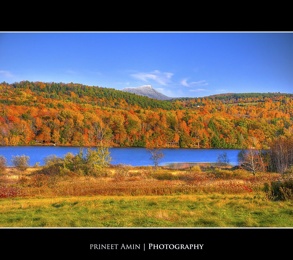
Lake Iroquois
I know, I know, I posted a lot this same view, but when it is always changing, especially in fall, it is hard not to share! #fallinvt @thisisvt #bestview

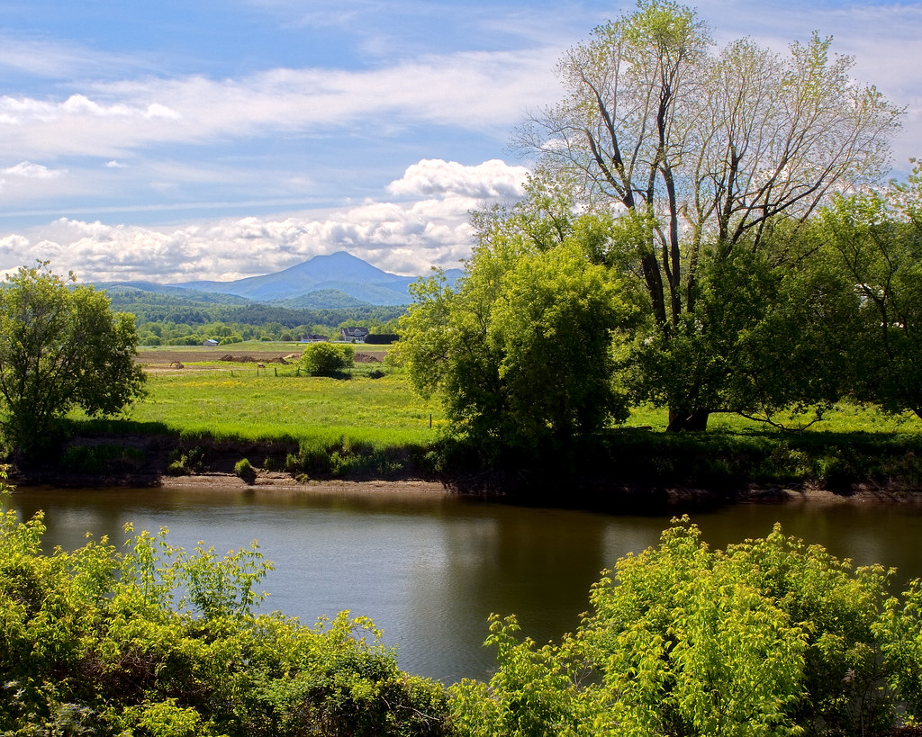
Winooski River View

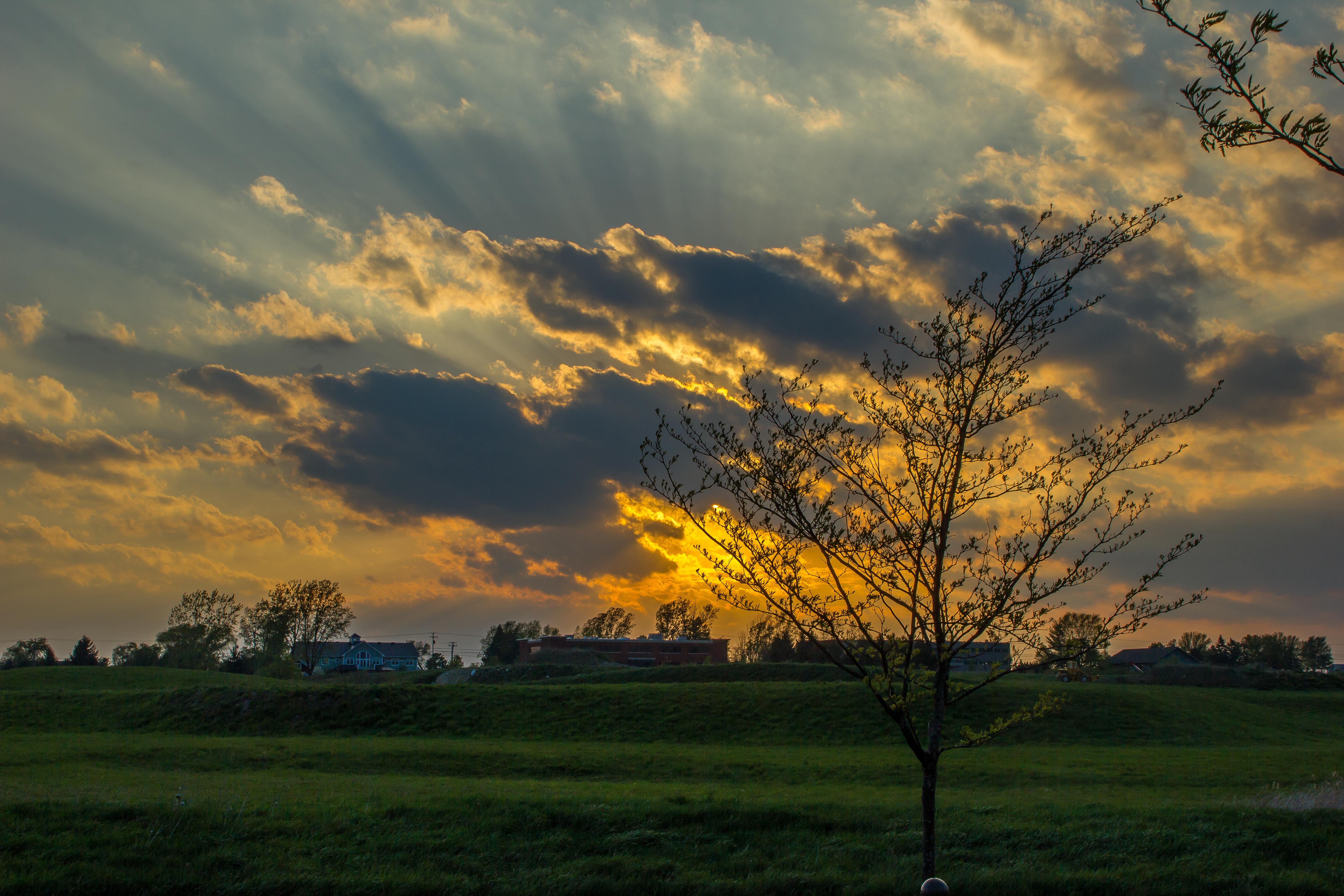
Father's Day Sunset
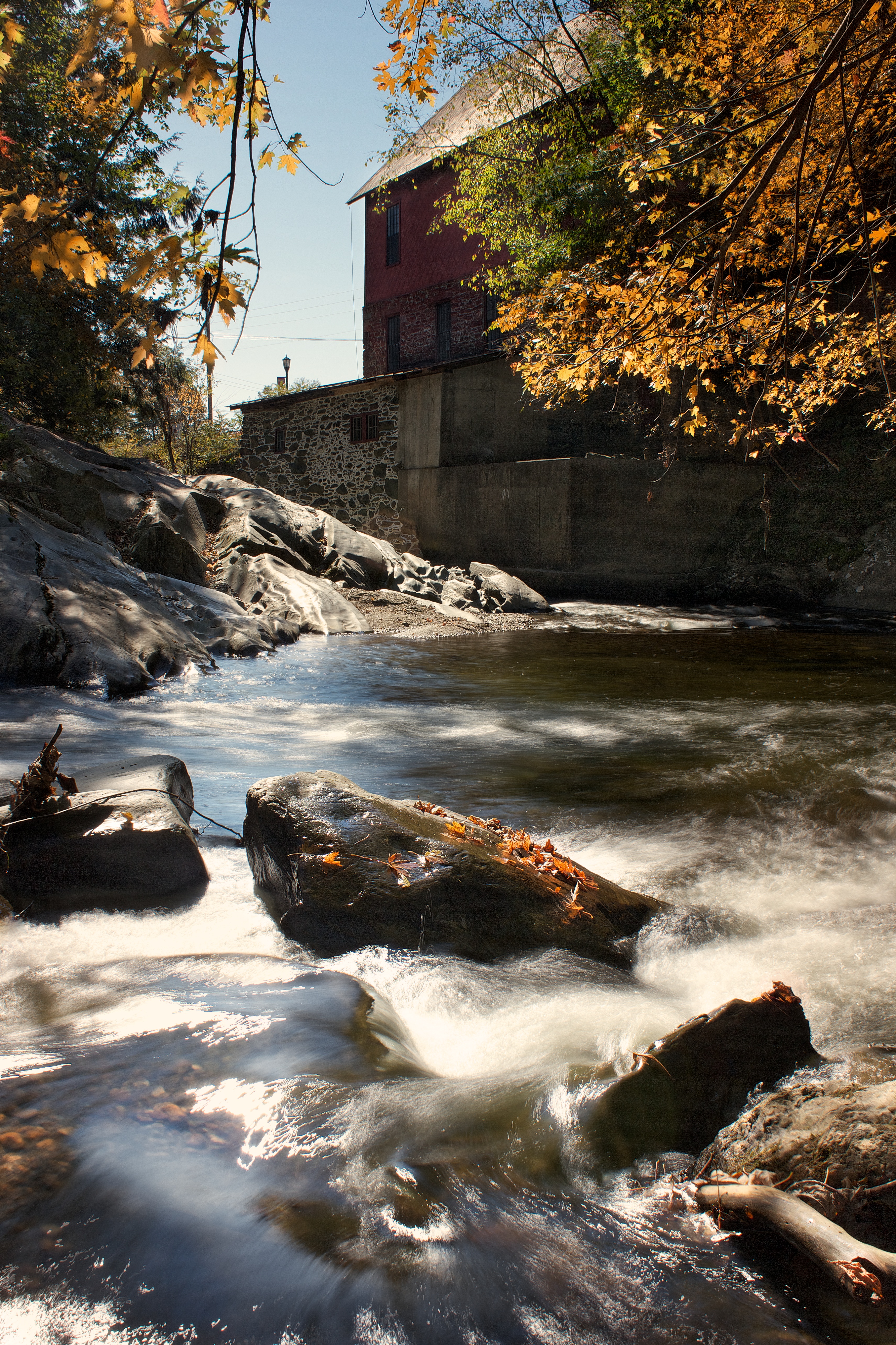
Old Red Mill

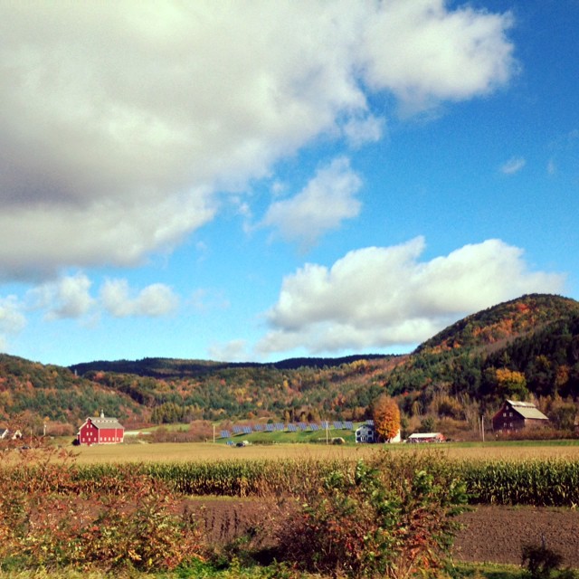
West Bolton, Vermont - Autumn 2012

Jericho Center, Vermont
The View From Libby's Look 02
River View
low perspective

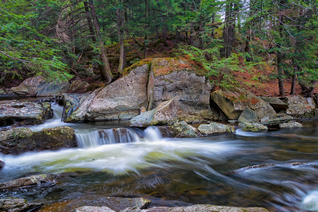
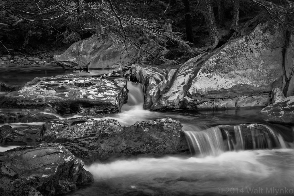
Mill Brook Falls
Vermont_D718576-Edit-Edit.jpg
Vermont_DSC0862-Edit-Edit2.jpg

Vermont 009

Ten Foot Clearance

Vermont-6380_HDR.jpg
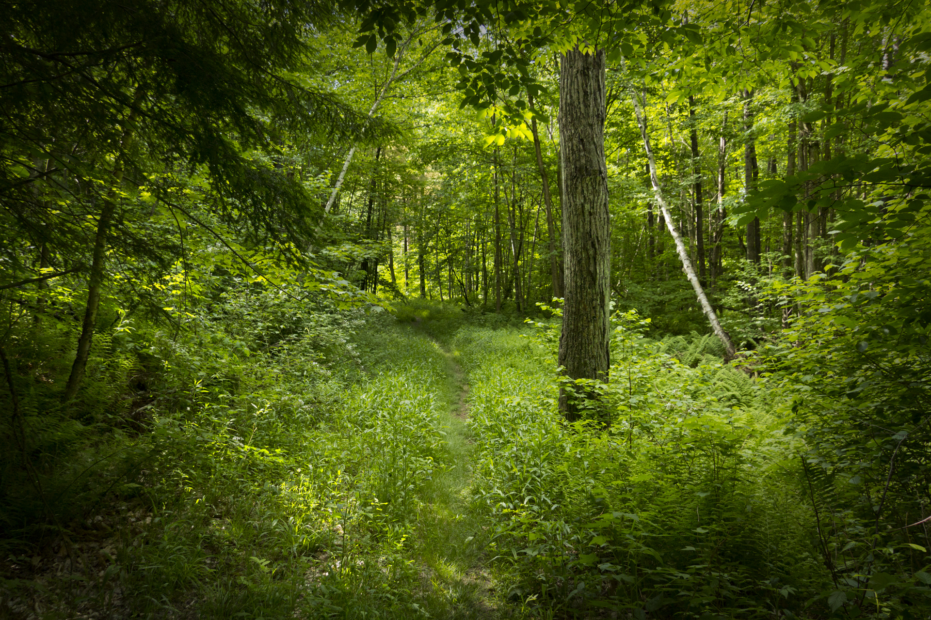
Deep Green Vermont
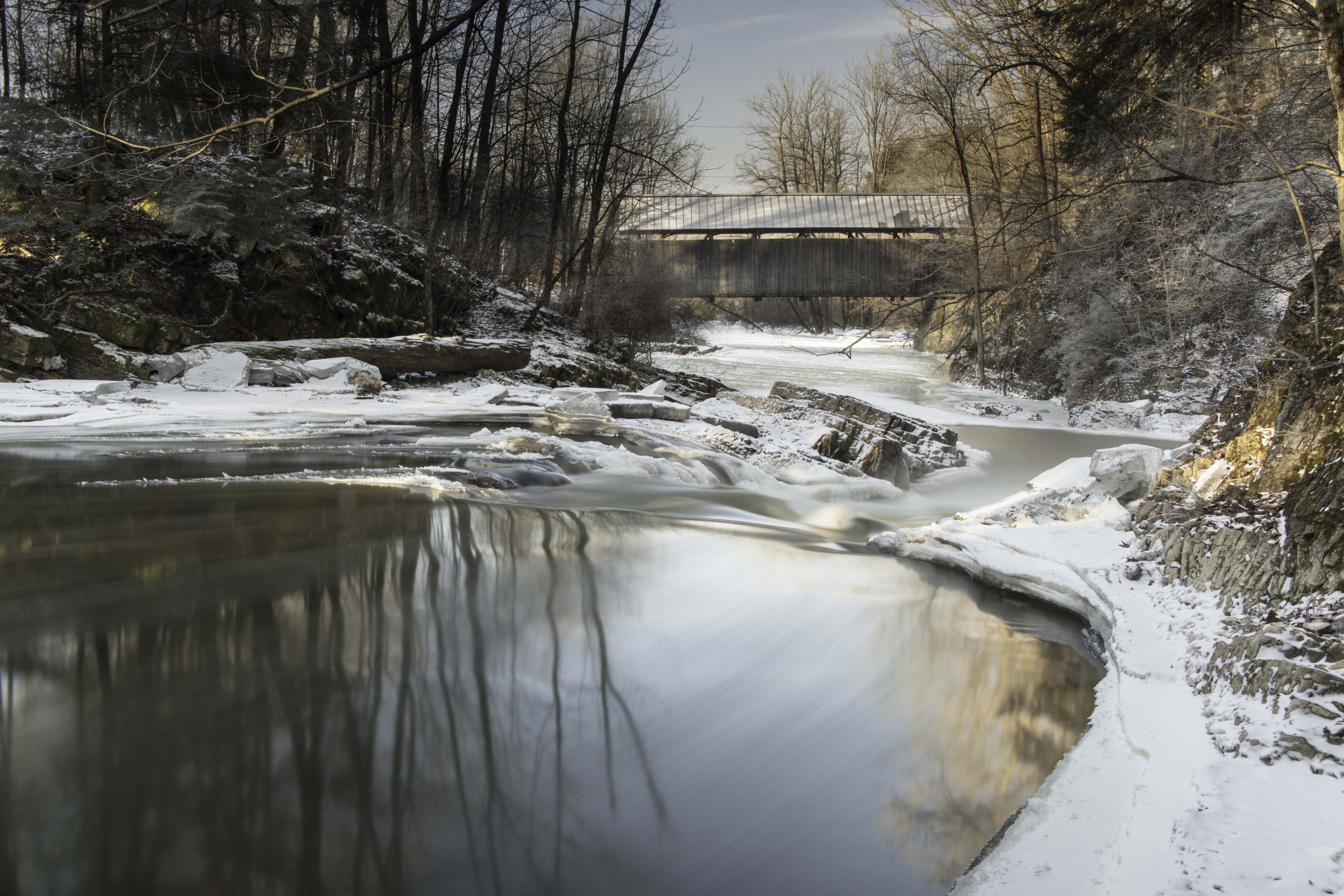
Seguin Covered Bridge
Vermont_DSC0862-Edit-Edit.jpg
#barns in Bolton #instaeffects #instadaily #nature #instagramers #instagood #green #bestoftheday #follow #picoftheday #awesome #nofilter #iphoneonly #followme #photooftheday #beautiful #like #webstagram #vermont #eavig #empireavenue
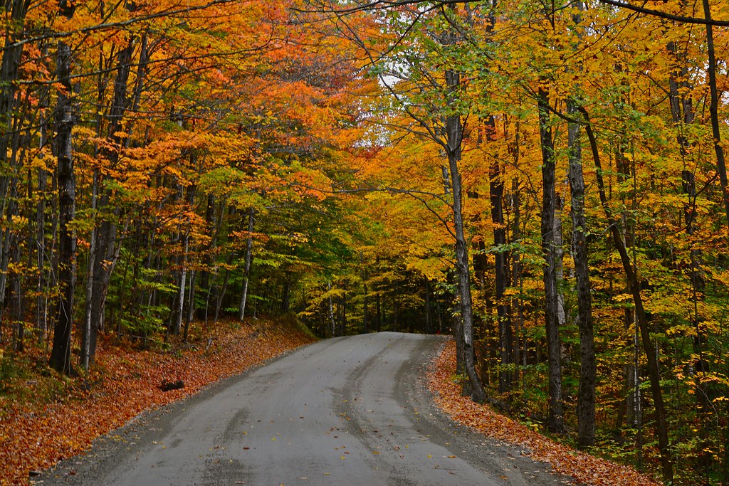
Road in Fall
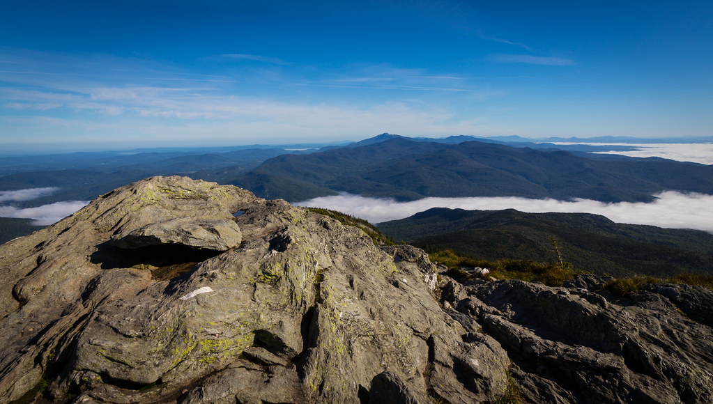
Camel's Hump summit

ponds are for skating
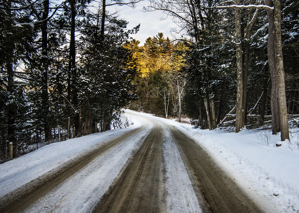
road home
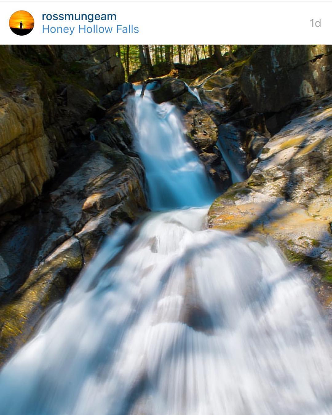
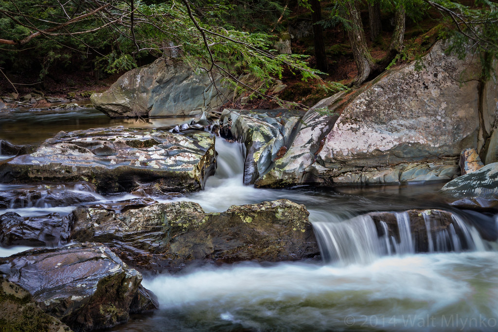
Congratulations!✨????✨ @rossmungeam Your Honey Hollow Falls shot has been chosen for a feature in the beautiful state of Vermont.
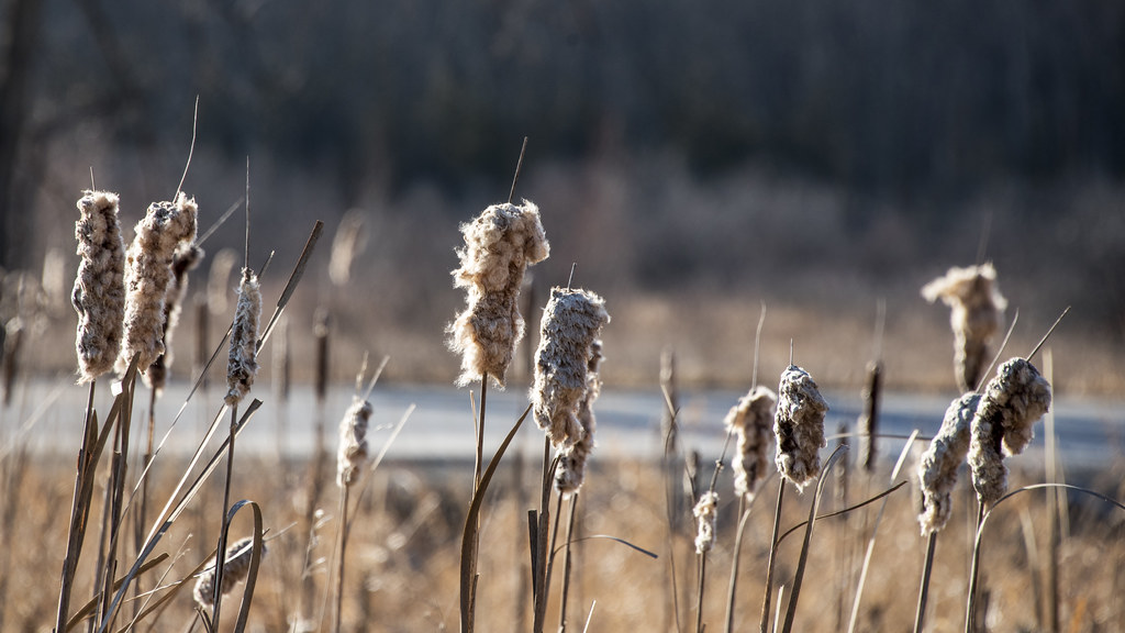
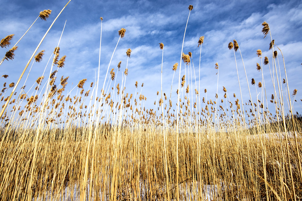
Cattail coming out party
Topographic Map of Dugway Rd, Richmond, VT, USA
Find elevation by address:

Places near Dugway Rd, Richmond, VT, USA:
Huntington Gorge
Dugway Road
Wes White Hill
Chittenden County
164 Ladensack Ln
Huntington
Richmond
100 W Main St
20 Lily Pond Cir
1595 East St
575 Wortheim Ln
1140 Williams Hill Rd
1379 Williams Hill Rd
1379 Williams Hill Rd
255 Moulton Dr
251 Hidden Pines Cir
1954 Texas Hill Rd
1324 Kenyon Rd
18 Milo White Rd
2373 Hinesburg Rd
Recent Searches:
- Elevation of Steadfast Ct, Daphne, AL, USA
- Elevation of Lagasgasan, X+CQH, Tiaong, Quezon, Philippines
- Elevation of Rojo Ct, Atascadero, CA, USA
- Elevation of Flagstaff Drive, Flagstaff Dr, North Carolina, USA
- Elevation of Avery Ln, Lakeland, FL, USA
- Elevation of Woolwine, VA, USA
- Elevation of Lumagwas Diversified Farmers Multi-Purpose Cooperative, Lumagwas, Adtuyon, RV32+MH7, Pangantucan, Bukidnon, Philippines
- Elevation of Homestead Ridge, New Braunfels, TX, USA
- Elevation of Orchard Road, Orchard Rd, Marlborough, NY, USA
- Elevation of 12 Hutchinson Woods Dr, Fletcher, NC, USA