Elevation of Ladensack Ln, Richmond, VT, USA
Location: United States > Vermont > Chittenden County > Richmond >
Longitude: -73.019684
Latitude: 44.372952
Elevation: 212m / 696feet
Barometric Pressure: 99KPa
Elevation Map:
Satellite Map:
Related Photos:
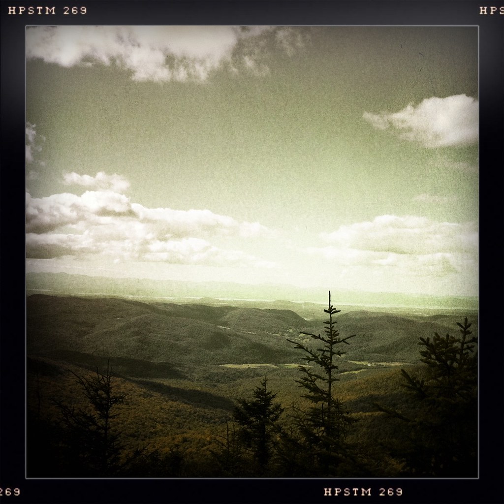
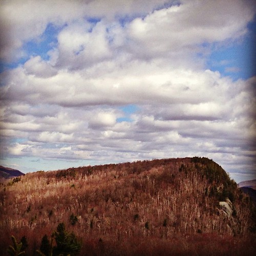
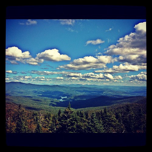
view from burnt rock
The Overlook

Framing the view

US Airways Express @ BTV Burlington Airport

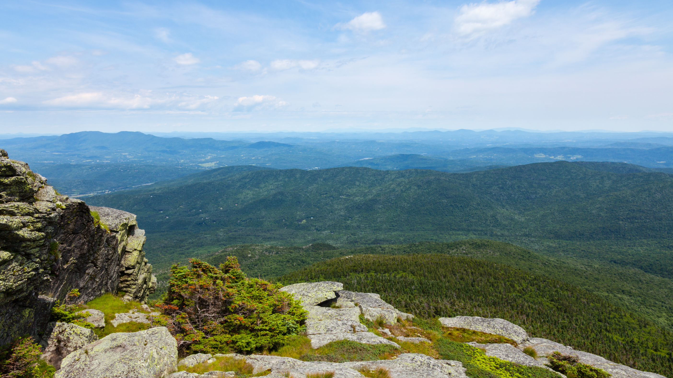
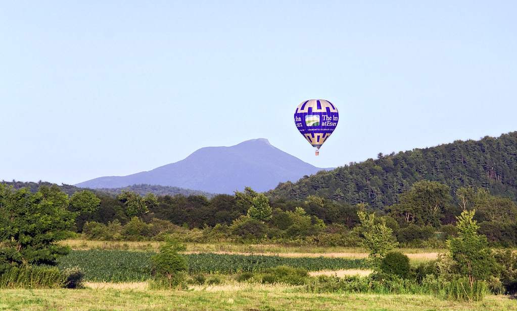
Camel's Hump

From Hump to Mount Mansfield
Camel's Hump
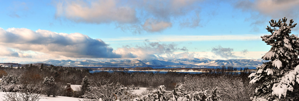
19/52 - Office View

A view from near the summit...
Fresh air, incredible view!
View from the Deck
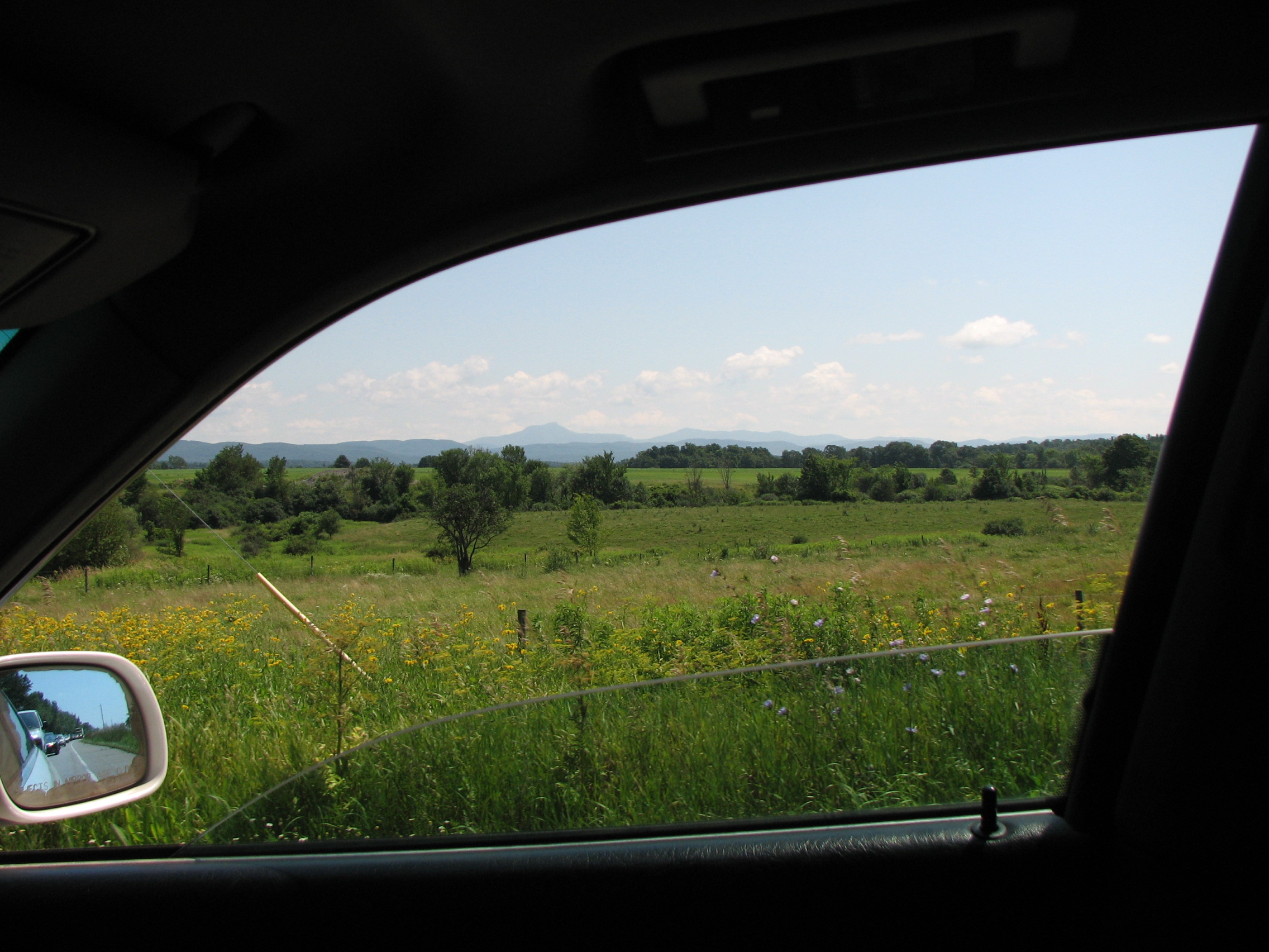
car.window • view
The View From Libby's Look
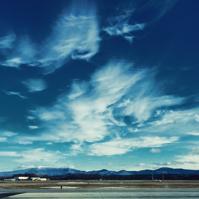
Burlington International Airport.
View from the fire tower

Forest City Falls, Vermont
the view
The Catch
as far as the eye can see
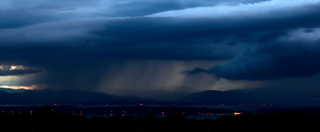
Storm Approaching Shelburne Bay
Lake Iroquois
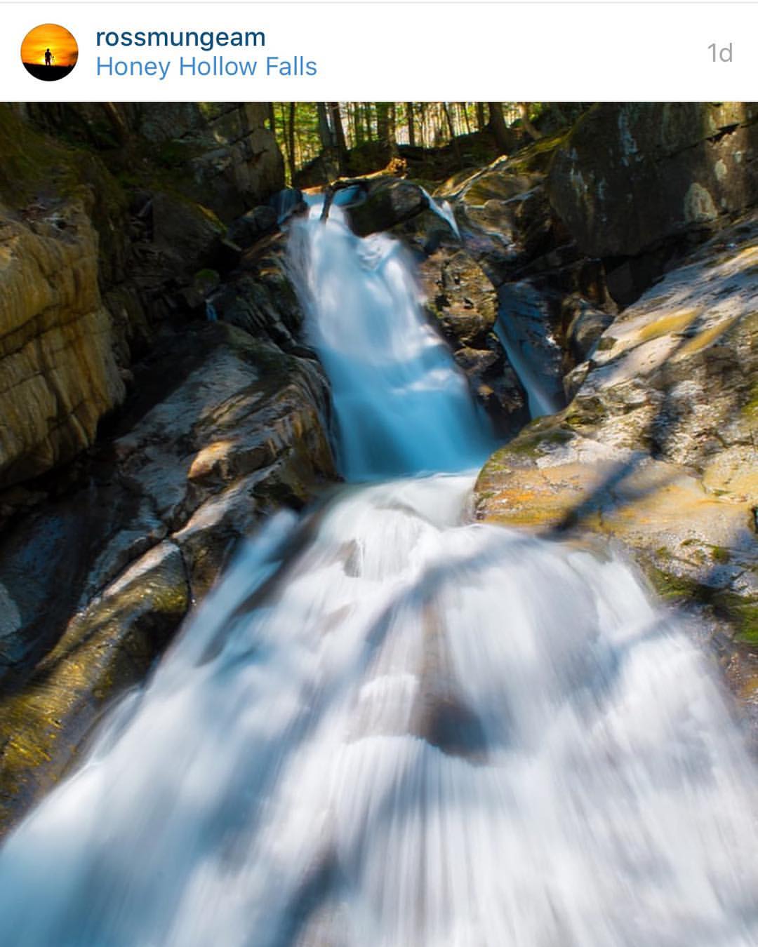
Congratulations!✨????✨ @rossmungeam Your Honey Hollow Falls shot has been chosen for a feature in the beautiful state of Vermont.
low perspective

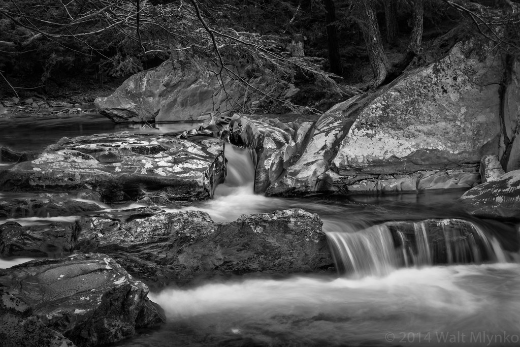
Mill Brook Falls

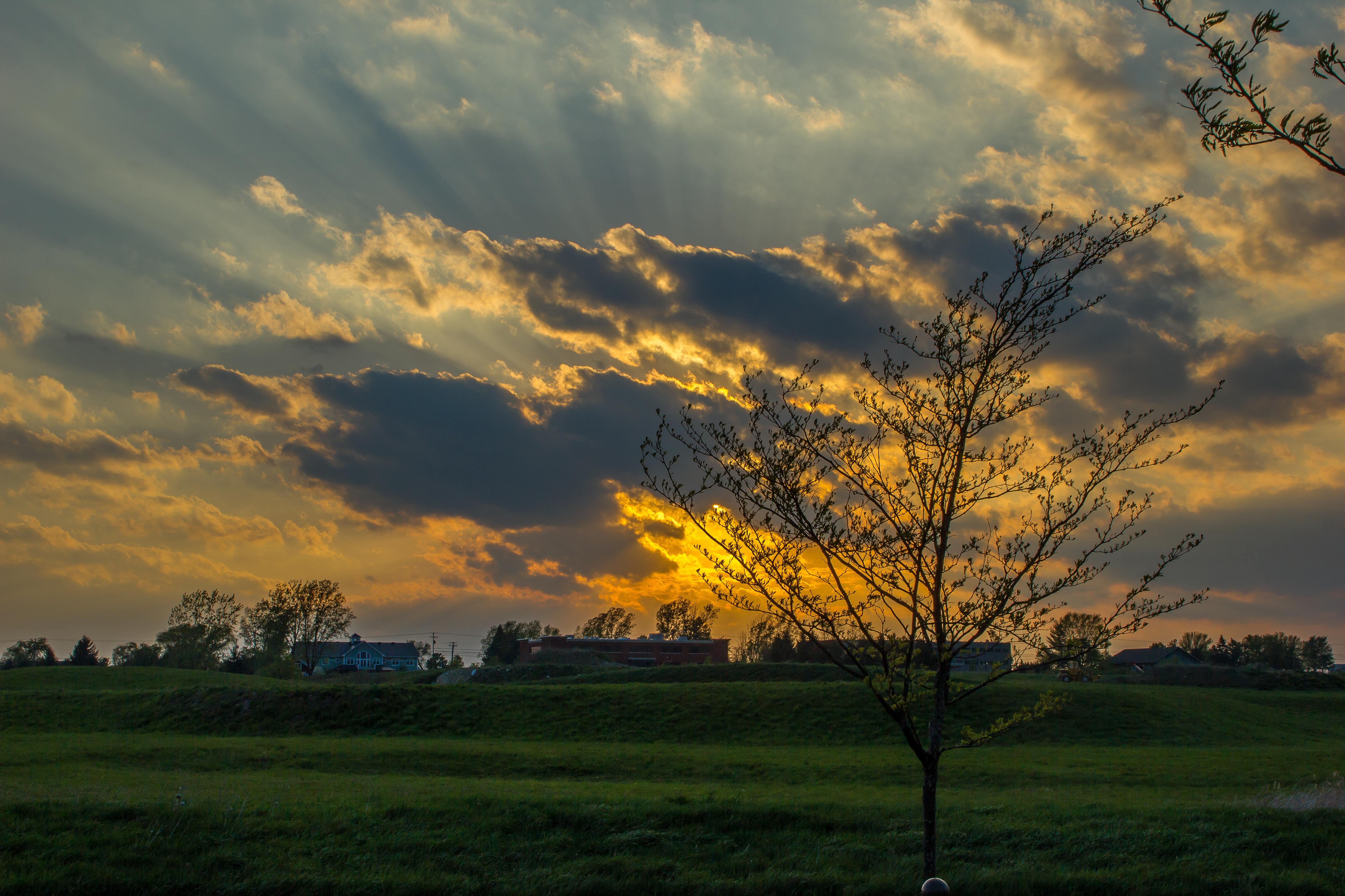
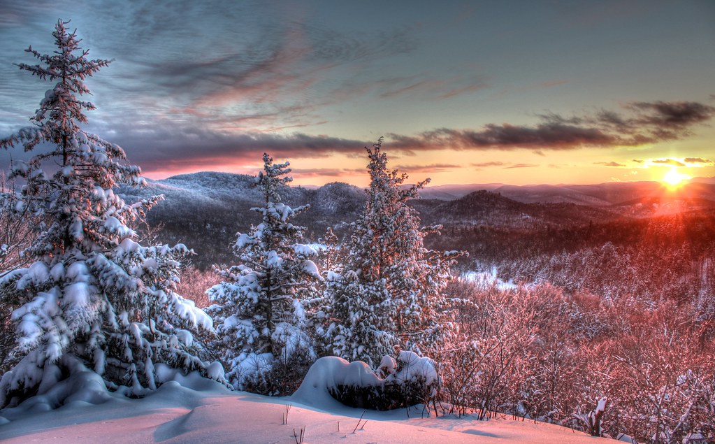
Adirondack sunset

Puffy White Clouds
Vermont_D718576-Edit-Edit.jpg
Vermont_DSC0862-Edit-Edit2.jpg

Vermont 009

Ten Foot Clearance

Vermont-6380_HDR.jpg
Seguin Covered Bridge
Deep Green Vermont
Vermont_DSC0862-Edit-Edit.jpg
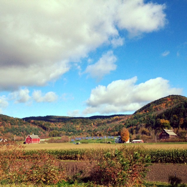
#barns in Bolton #instaeffects #instadaily #nature #instagramers #instagood #green #bestoftheday #follow #picoftheday #awesome #nofilter #iphoneonly #followme #photooftheday #beautiful #like #webstagram #vermont #eavig #empireavenue
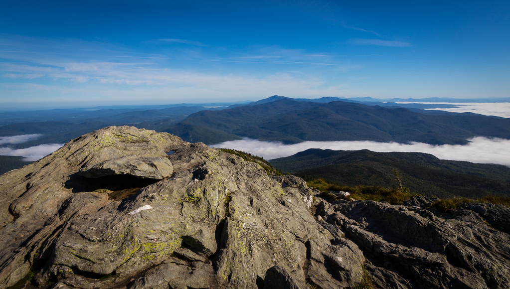
Camel's Hump summit
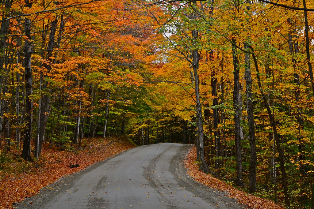
Road in Fall
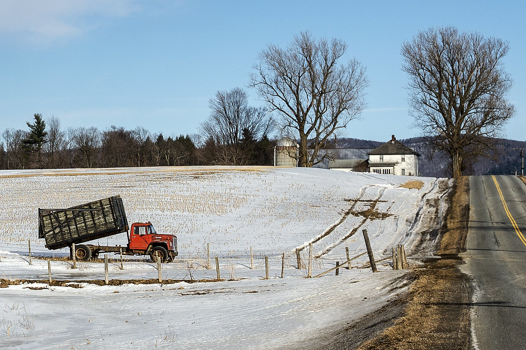
back road

ponds are for skating
Topographic Map of Ladensack Ln, Richmond, VT, USA
Find elevation by address:

Places near Ladensack Ln, Richmond, VT, USA:
575 Wortheim Ln
1140 Williams Hill Rd
1379 Williams Hill Rd
1379 Williams Hill Rd
Chittenden County
2373 Hinesburg Rd
2373 Hinesburg Rd
1324 Kenyon Rd
1954 Texas Hill Rd
2374 Dugway Rd
100 W Main St
Richmond
401 Butternut Ln
Huntington Gorge
Dugway Road
494 Christmas Ln
Huntington
495 Yantz Hill Rd
Wes White Hill
251 Hidden Pines Cir
Recent Searches:
- Elevation of 6 Rue Jules Ferry, Beausoleil, France
- Elevation of Sattva Horizon, 4JC6+G9P, Vinayak Nagar, Kattigenahalli, Bengaluru, Karnataka, India
- Elevation of Great Brook Sports, Gold Star Hwy, Groton, CT, USA
- Elevation of 10 Mountain Laurels Dr, Nashua, NH, USA
- Elevation of 16 Gilboa Ln, Nashua, NH, USA
- Elevation of Laurel Rd, Townsend, TN, USA
- Elevation of 3 Nestling Wood Dr, Long Valley, NJ, USA
- Elevation of Ilungu, Tanzania
- Elevation of Yellow Springs Road, Yellow Springs Rd, Chester Springs, PA, USA
- Elevation of Rēzekne Municipality, Latvia