Elevation of Huntington, VT, USA
Location: United States > Vermont > Chittenden County >
Longitude: -72.987345
Latitude: 44.3253512
Elevation: 193m / 633feet
Barometric Pressure: 99KPa
Elevation Map:
Satellite Map:
Related Photos:

Ap Gap

A View From Above

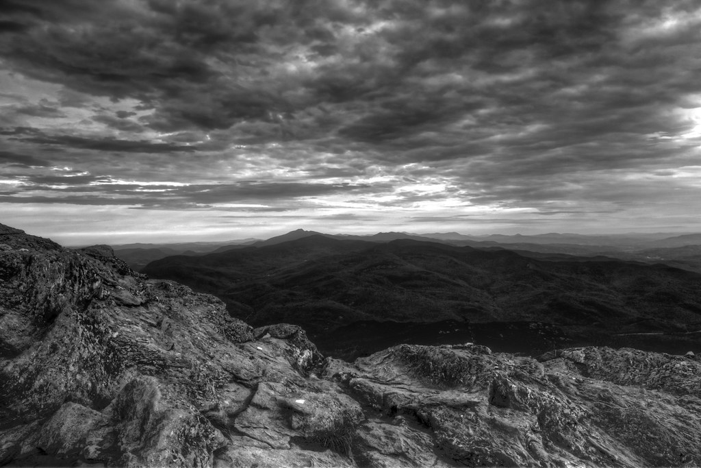
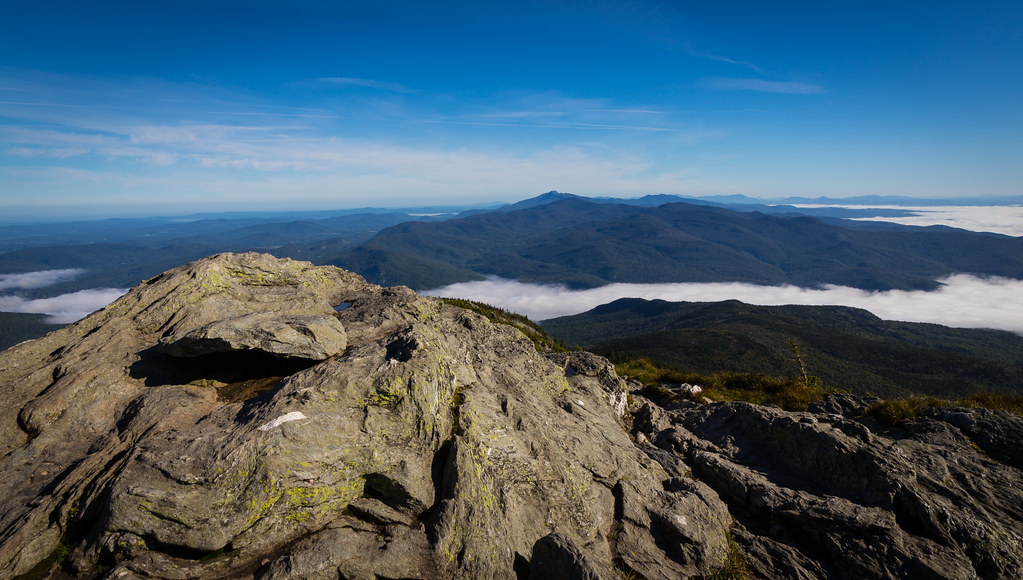
Camel's Hump

From Hump to Mount Mansfield
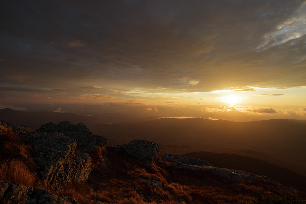
view from burnt rock
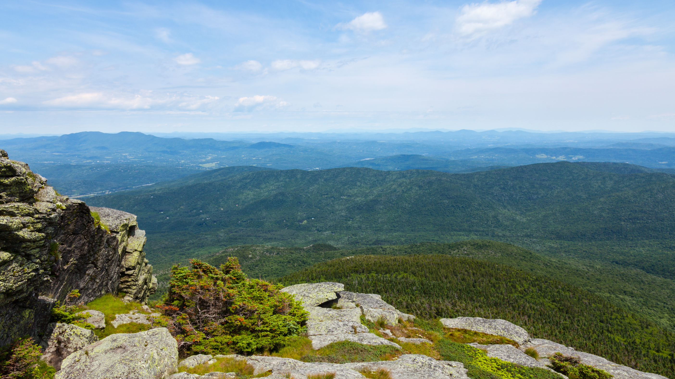
Camel's Hump

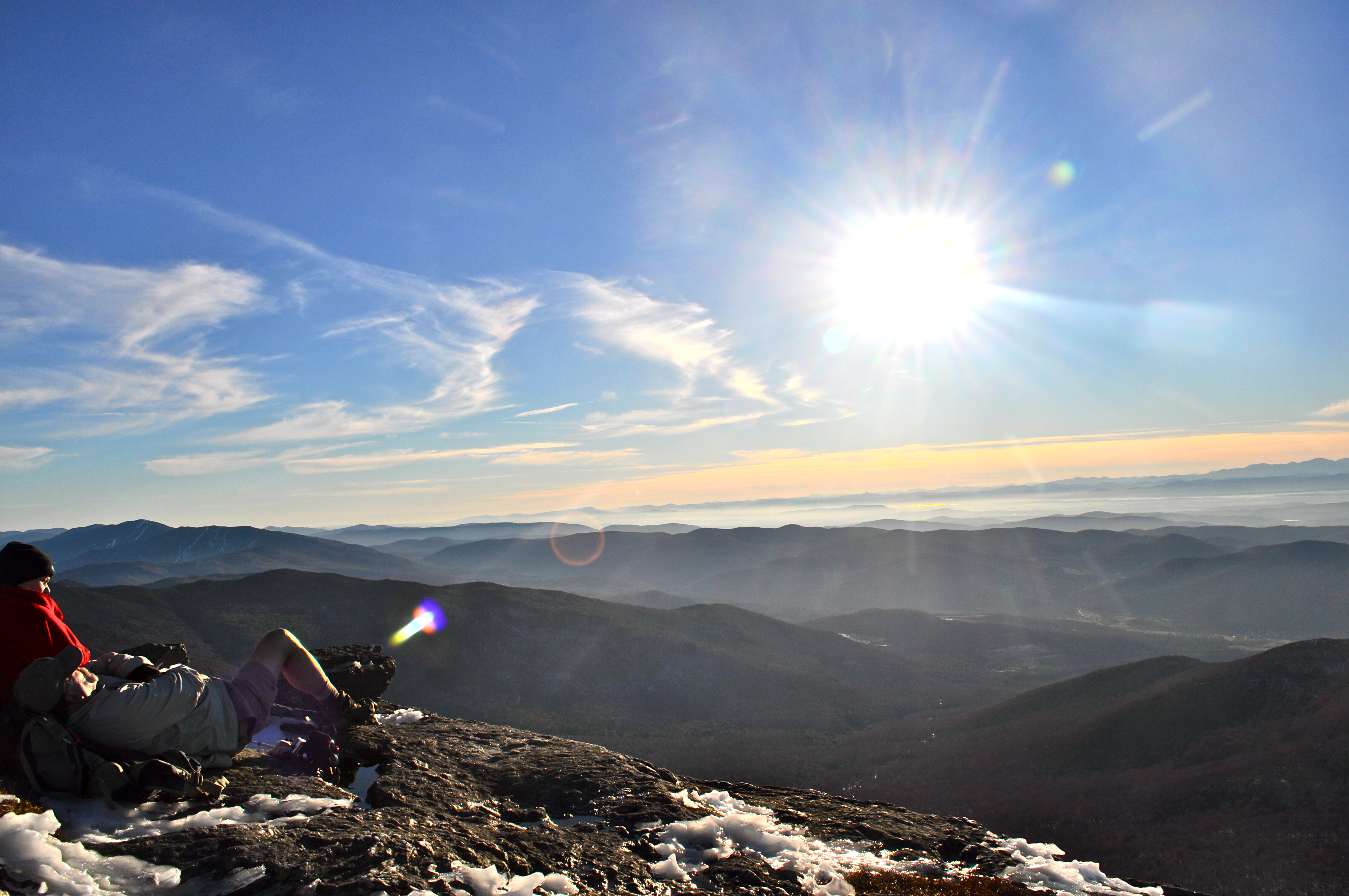
A view from near the summit...
Appalachian Gap
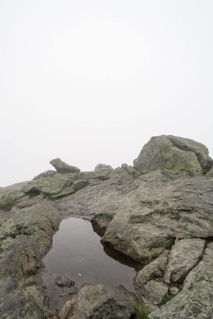
No View today
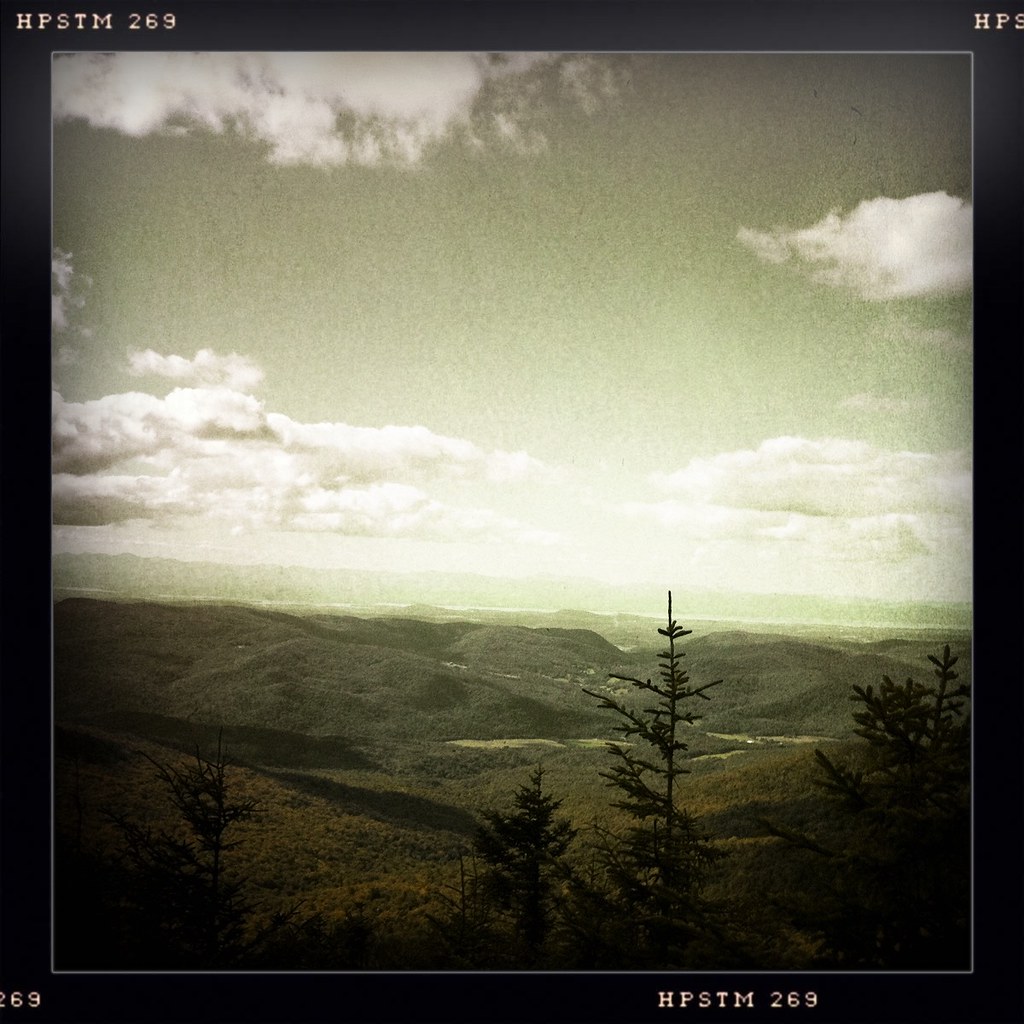
as far as the eye can see

Forest City Falls, Vermont
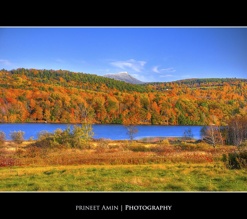
Lake Iroquois

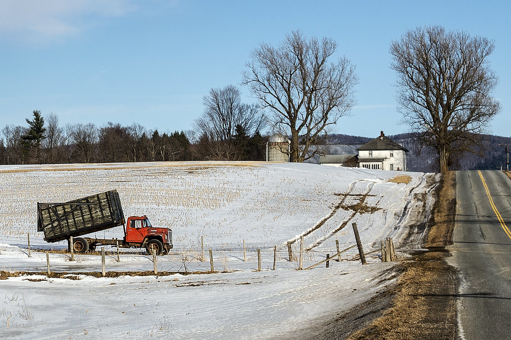
Jericho Center, Vermont
The View From Camel's Hump Sept 07 01
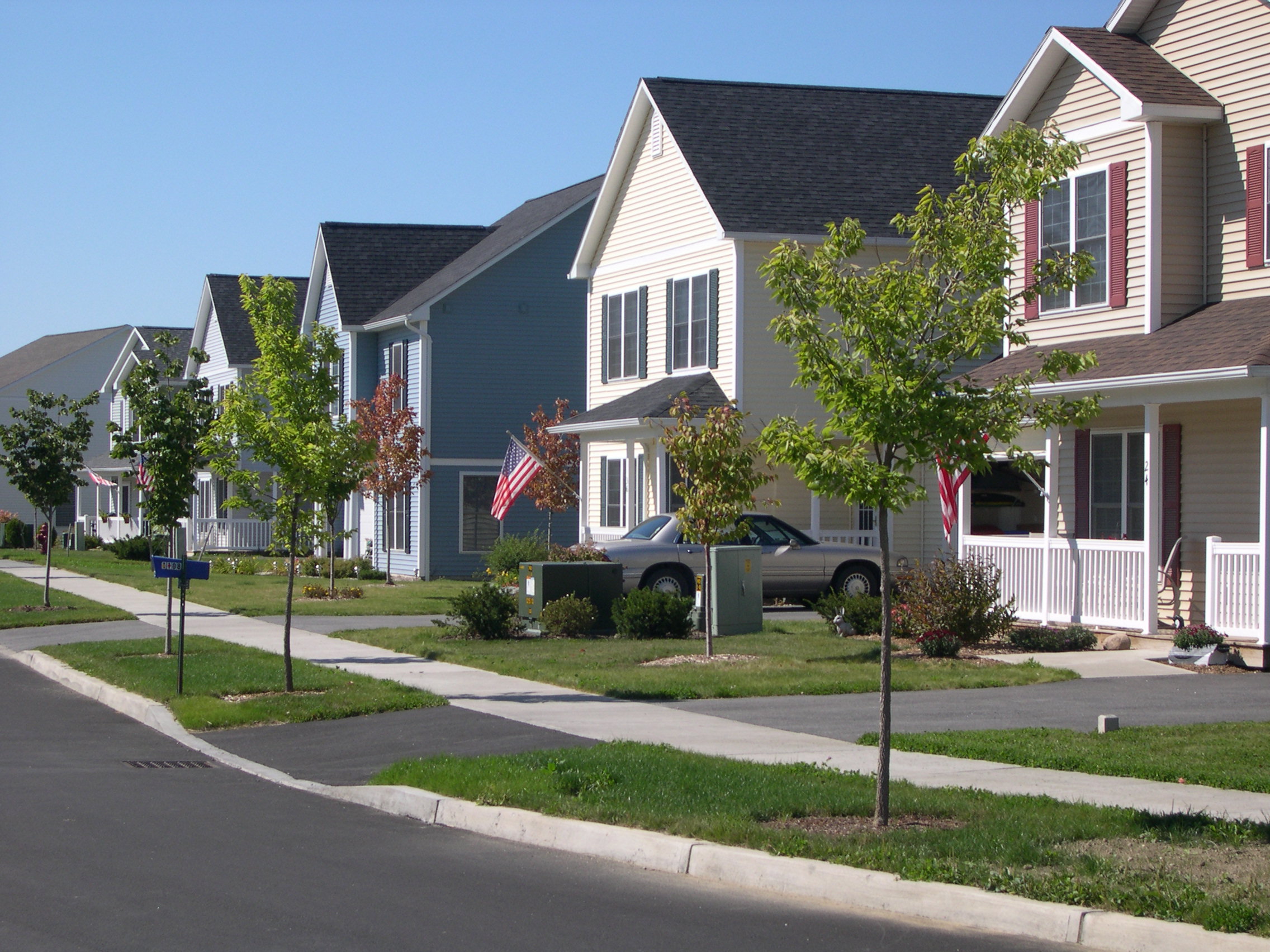
View of Village Housing and Streetscape on Fredric Way, Hinesburg VT
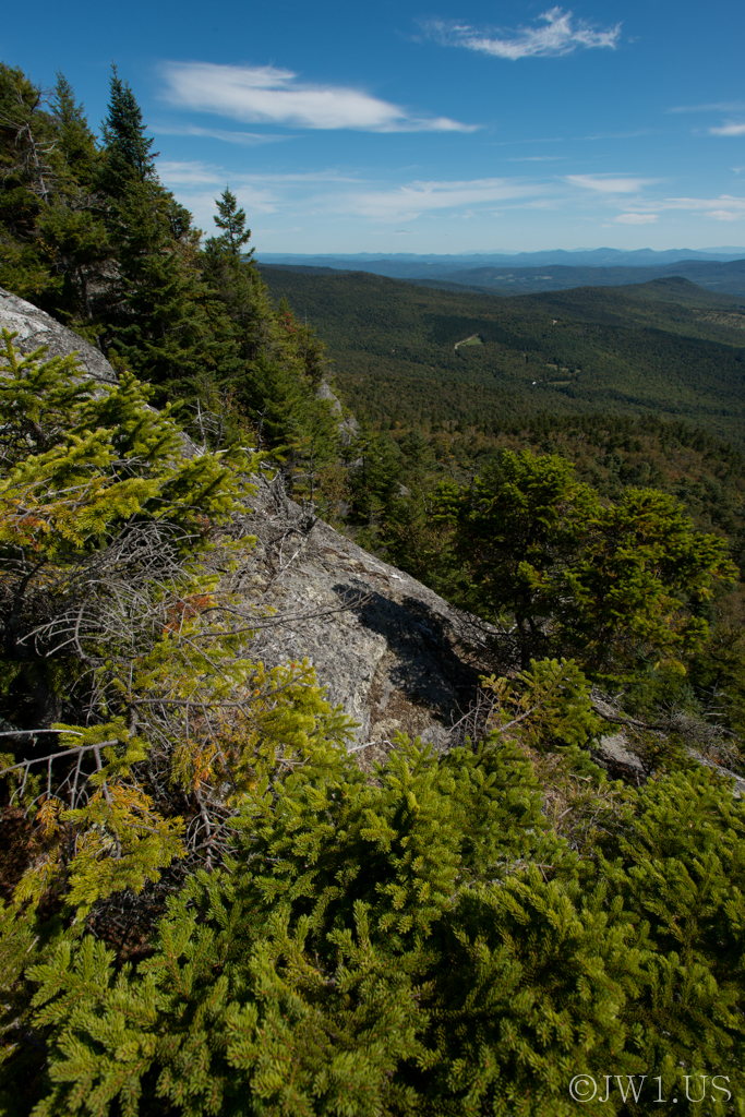
Image ID# Whalen-120911-1865 | Burnt Rock Mountain Six

Burnt Rock Summit 2
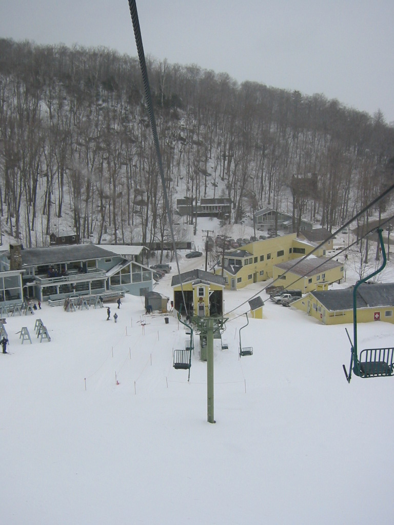
View of the Base from the Single Chair
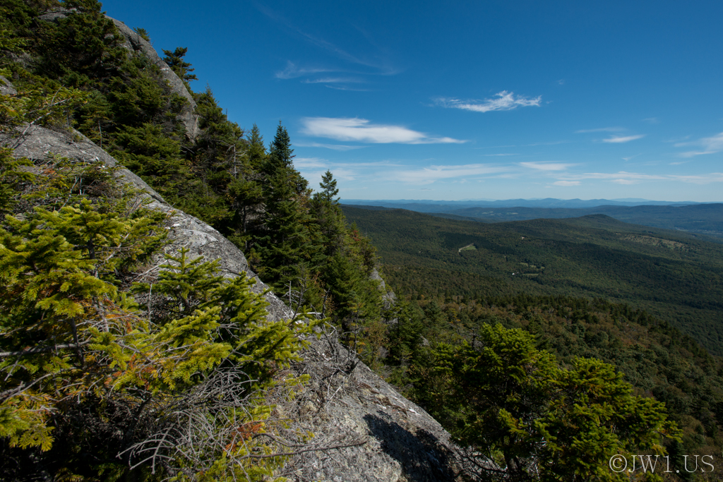
Image ID# Whalen-120911-1864 | Burnt Rock Mountain Five
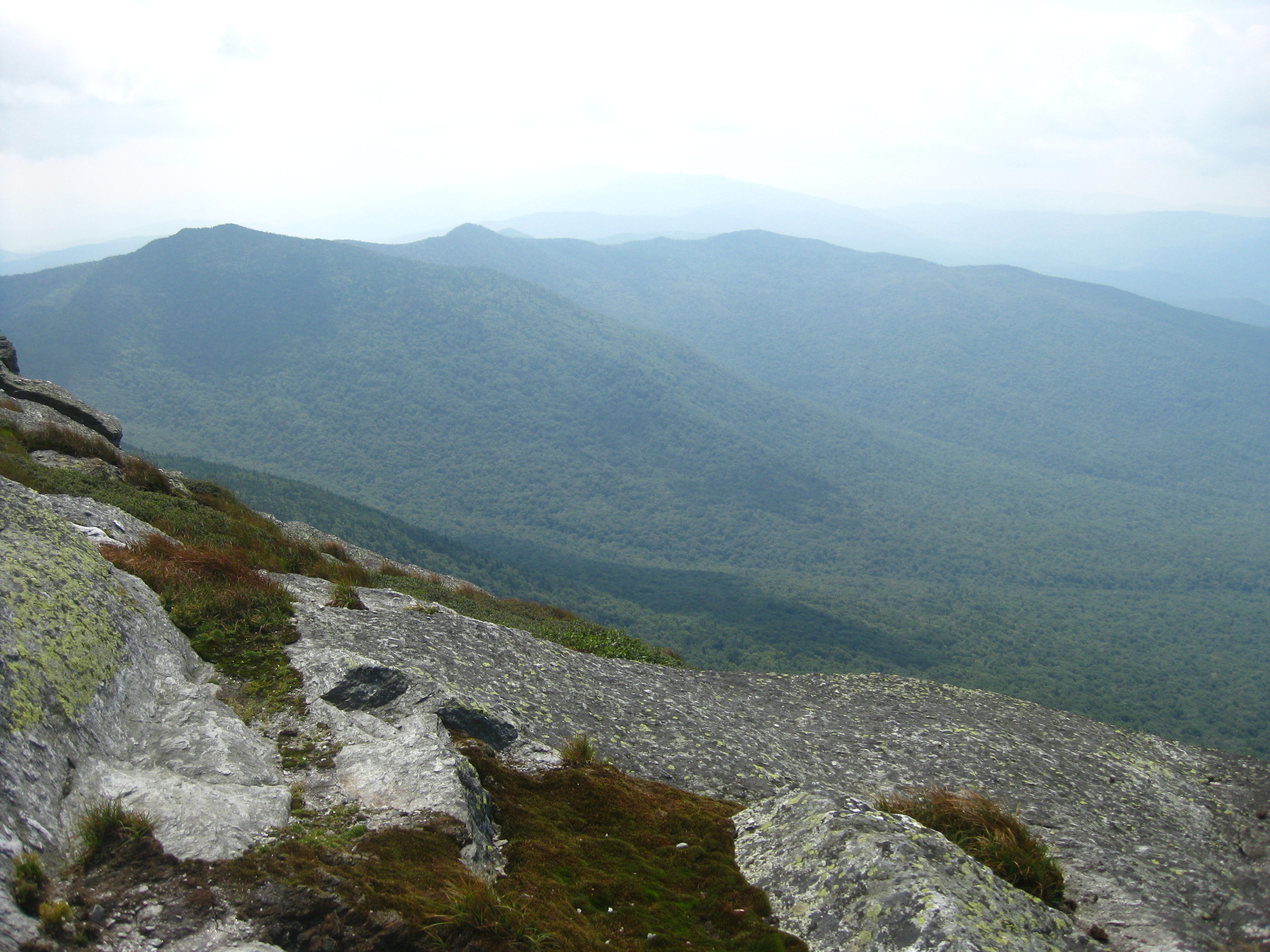
Camel's Hump view
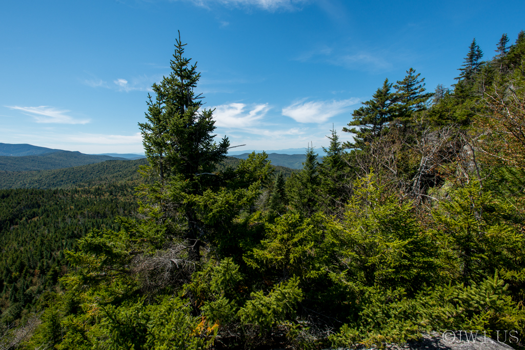
Image ID# Whalen-120911-1839 | Burnt Rock Mountain One

Williston Sunset

This is Vermont

Monkton Barn (Explored!)
back road

Vermont-6380_HDR.jpg
road home
Camel's Hump summit
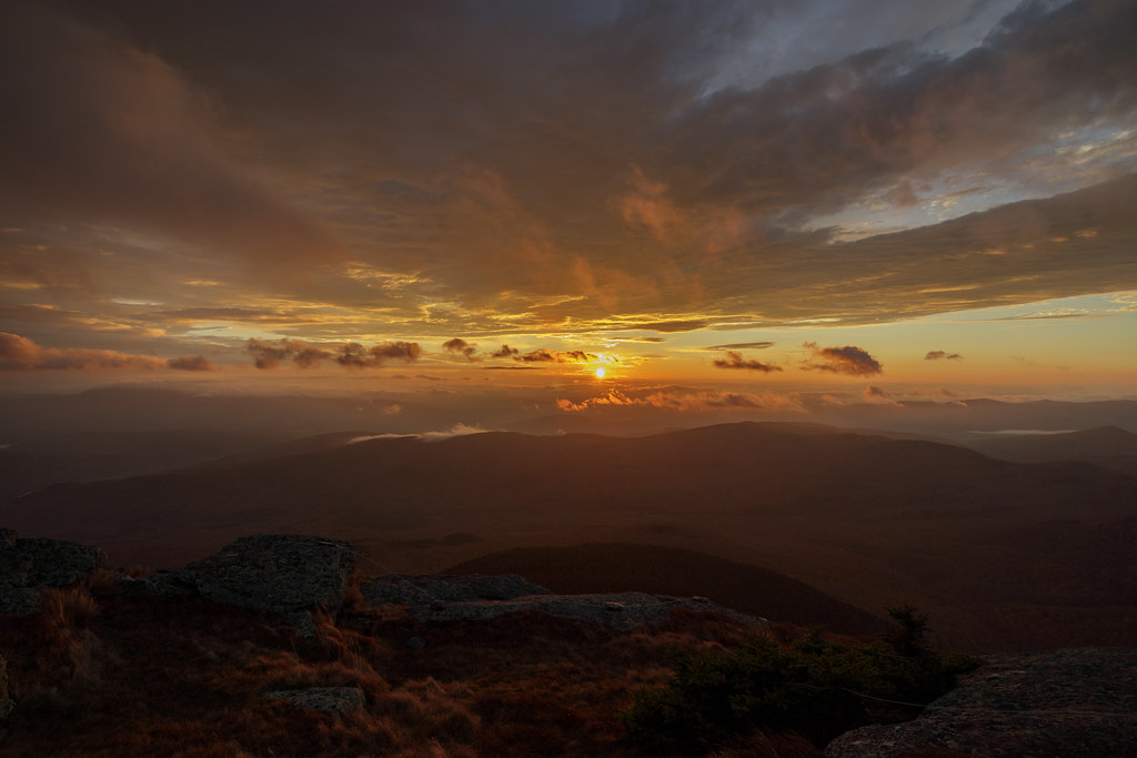
Sunrise, Camel's Hump, October 15, 2017

ponds are for skating
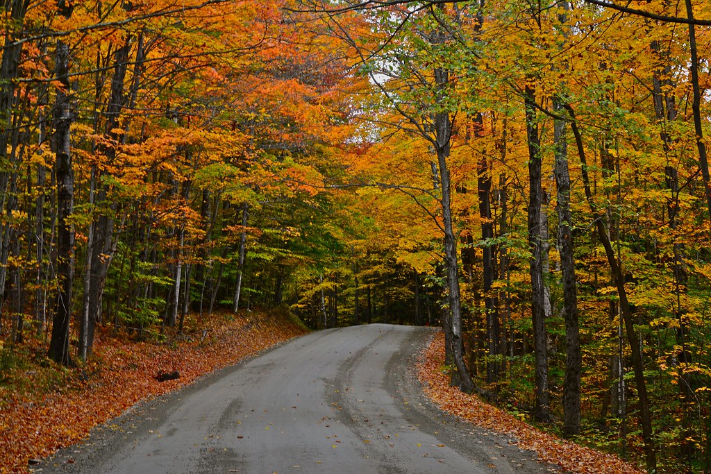
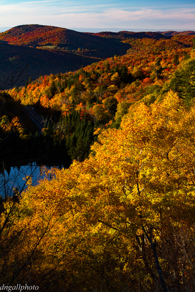
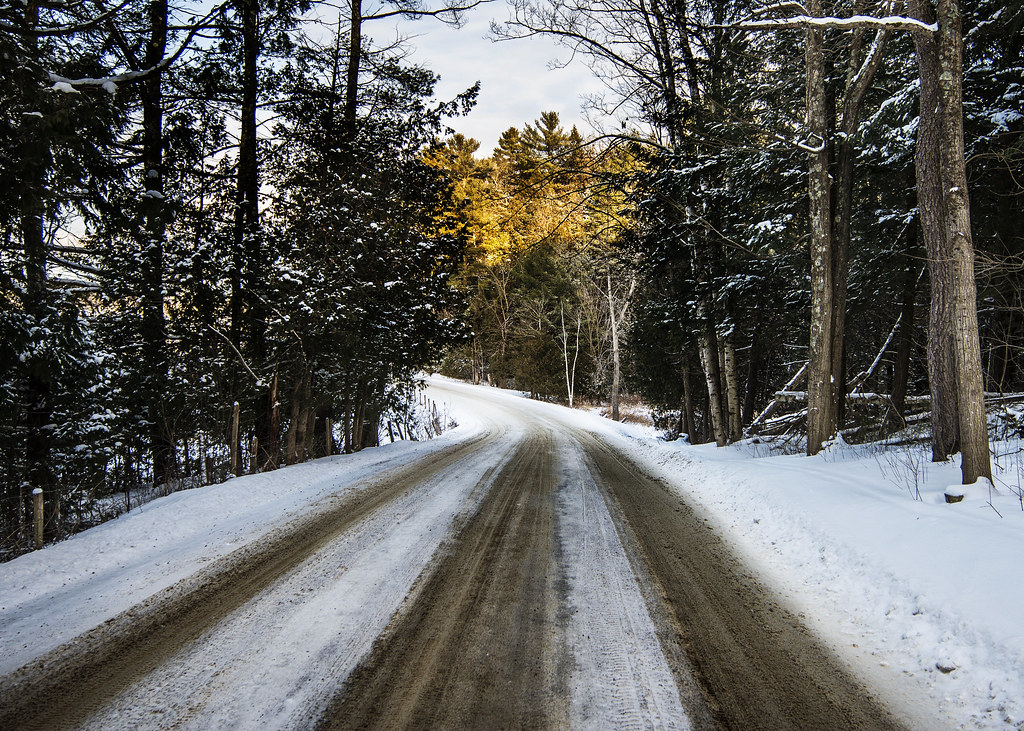
Road in Fall
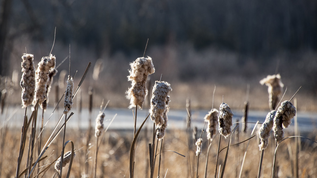
Cattail coming out party
Camel's Hump summit
Camel's Hump Sunrise
Camel's Hump, VT

Appalachian Gap
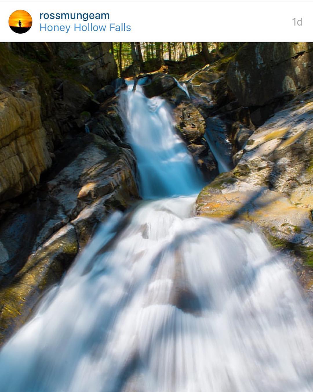
Congratulations!✨????✨ @rossmungeam Your Honey Hollow Falls shot has been chosen for a feature in the beautiful state of Vermont.
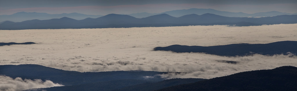
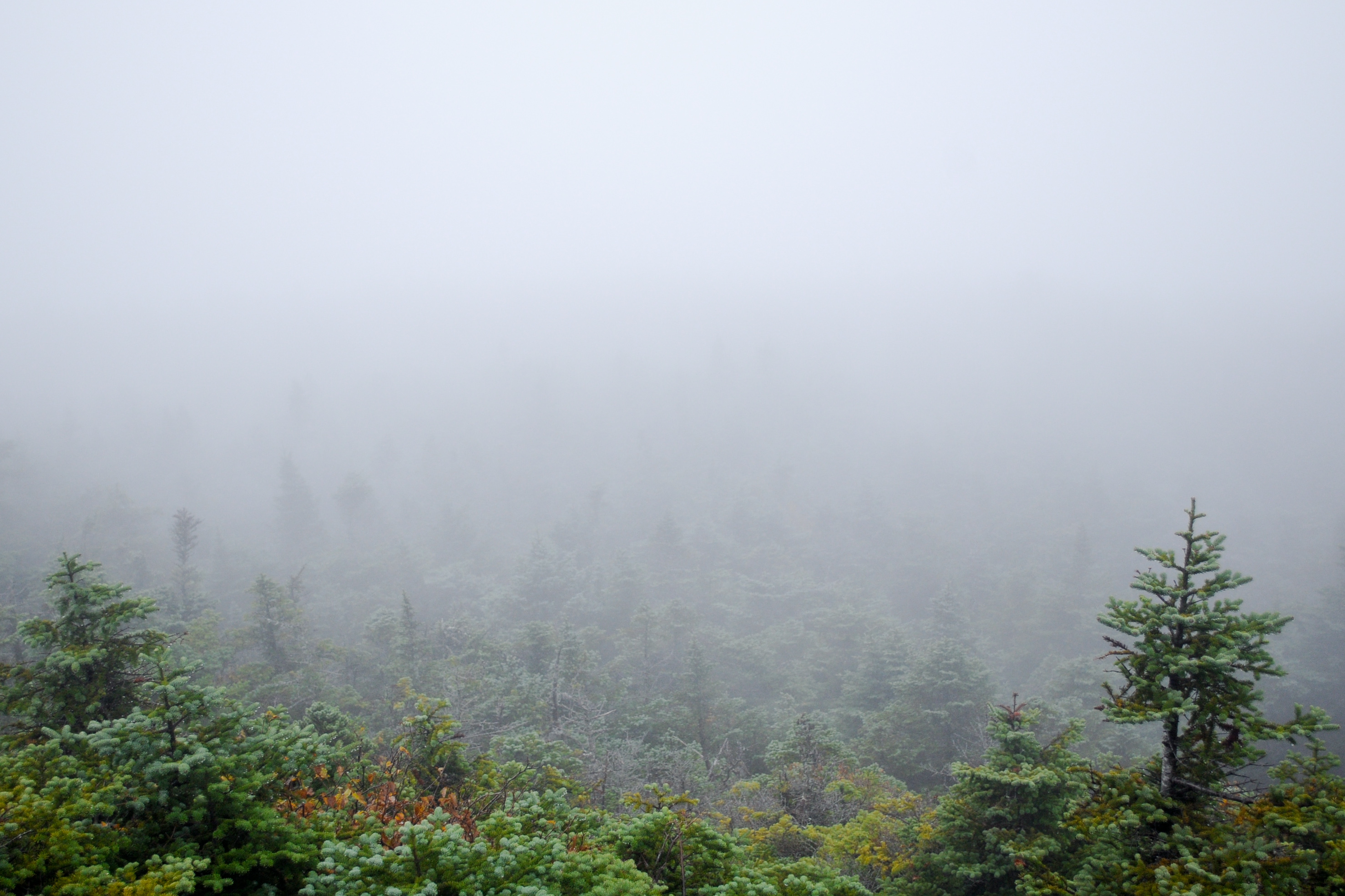
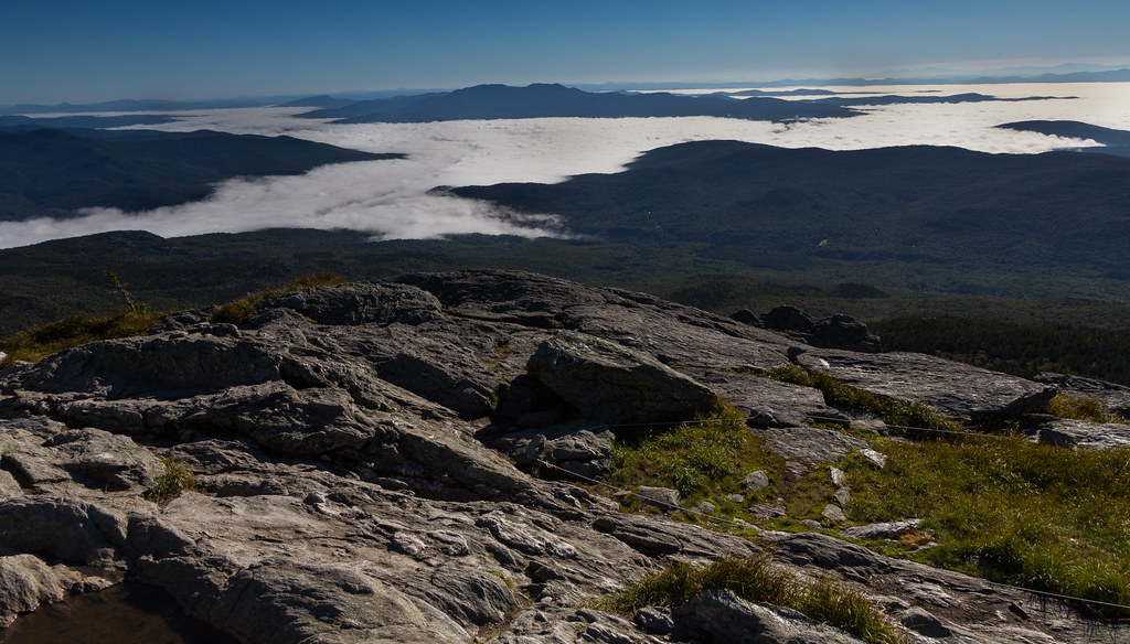
Sea of fog - Camel's Hump summit

Wooded Lane in Fall
Topographic Map of Huntington, VT, USA
Find elevation by address:

Places in Huntington, VT, USA:
Places near Huntington, VT, USA:
1595 East St
255 Moulton Dr
2374 Dugway Rd
Huntington Gorge
Dugway Road
Wes White Hill
164 Ladensack Ln
1954 Texas Hill Rd
Chittenden County
1140 Williams Hill Rd
575 Wortheim Ln
1379 Williams Hill Rd
1379 Williams Hill Rd
20 Lily Pond Cir
Richmond
100 W Main St
401 Butternut Ln
2373 Hinesburg Rd
2373 Hinesburg Rd
1324 Kenyon Rd
Recent Searches:
- Elevation of 30 Oak Lawn Dr, Barkhamsted, CT, USA
- Elevation of Luther Road, Luther Rd, Auburn, CA, USA
- Elevation of Unnamed Road, Respublika Severnaya Osetiya — Alaniya, Russia
- Elevation of Verkhny Fiagdon, North Ossetia–Alania Republic, Russia
- Elevation of F. Viola Hiway, San Rafael, Bulacan, Philippines
- Elevation of Herbage Dr, Gulfport, MS, USA
- Elevation of Lilac Cir, Haldimand, ON N3W 2G9, Canada
- Elevation of Harrod Branch Road, Harrod Branch Rd, Kentucky, USA
- Elevation of Wyndham Grand Barbados Sam Lords Castle All Inclusive Resort, End of Belair Road, Long Bay, Bridgetown Barbados
- Elevation of Iga Trl, Maggie Valley, NC, USA