Elevation of Early County, GA, USA
Location: United States > Georgia >
Longitude: -84.898477
Latitude: 31.3901106
Elevation: 82m / 269feet
Barometric Pressure: 100KPa
Elevation Map:
Satellite Map:
Related Photos:

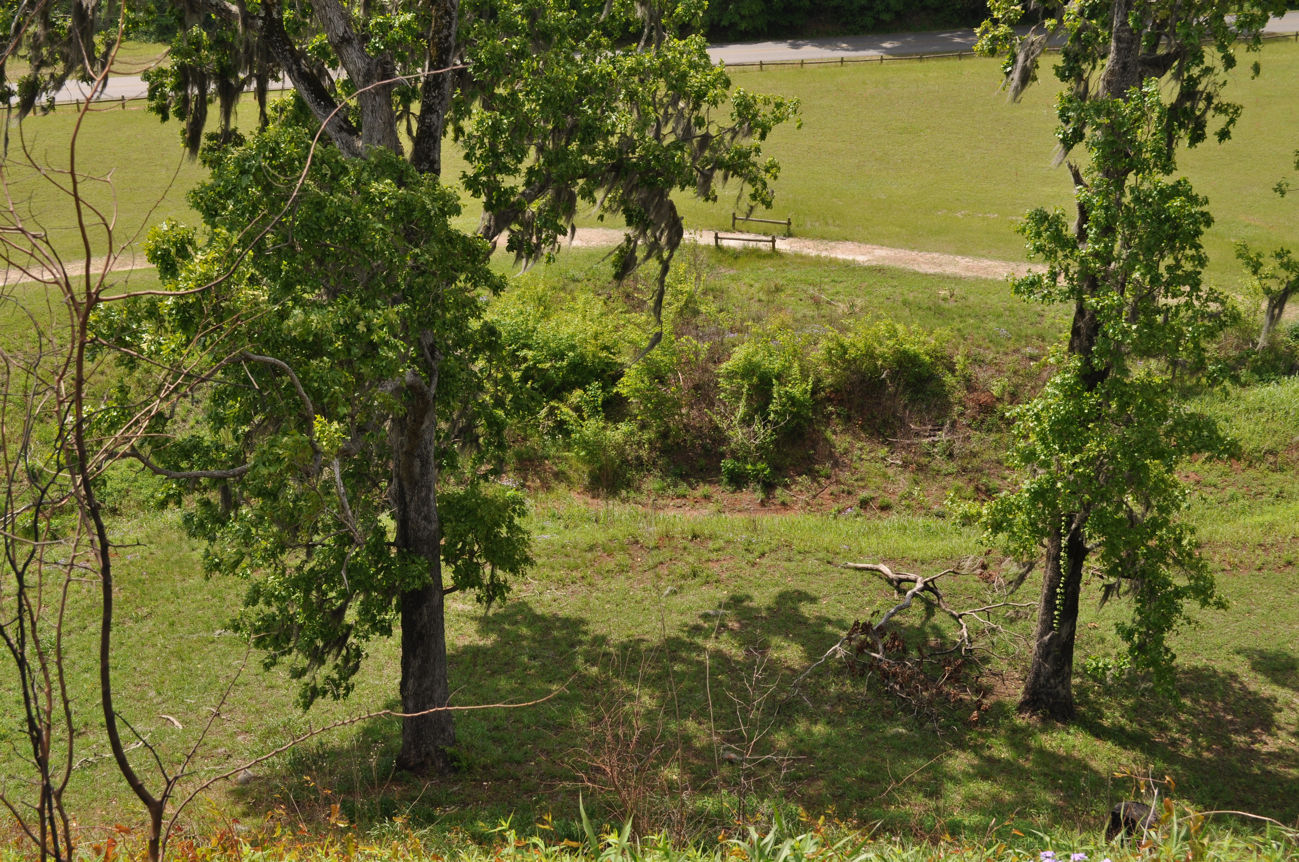
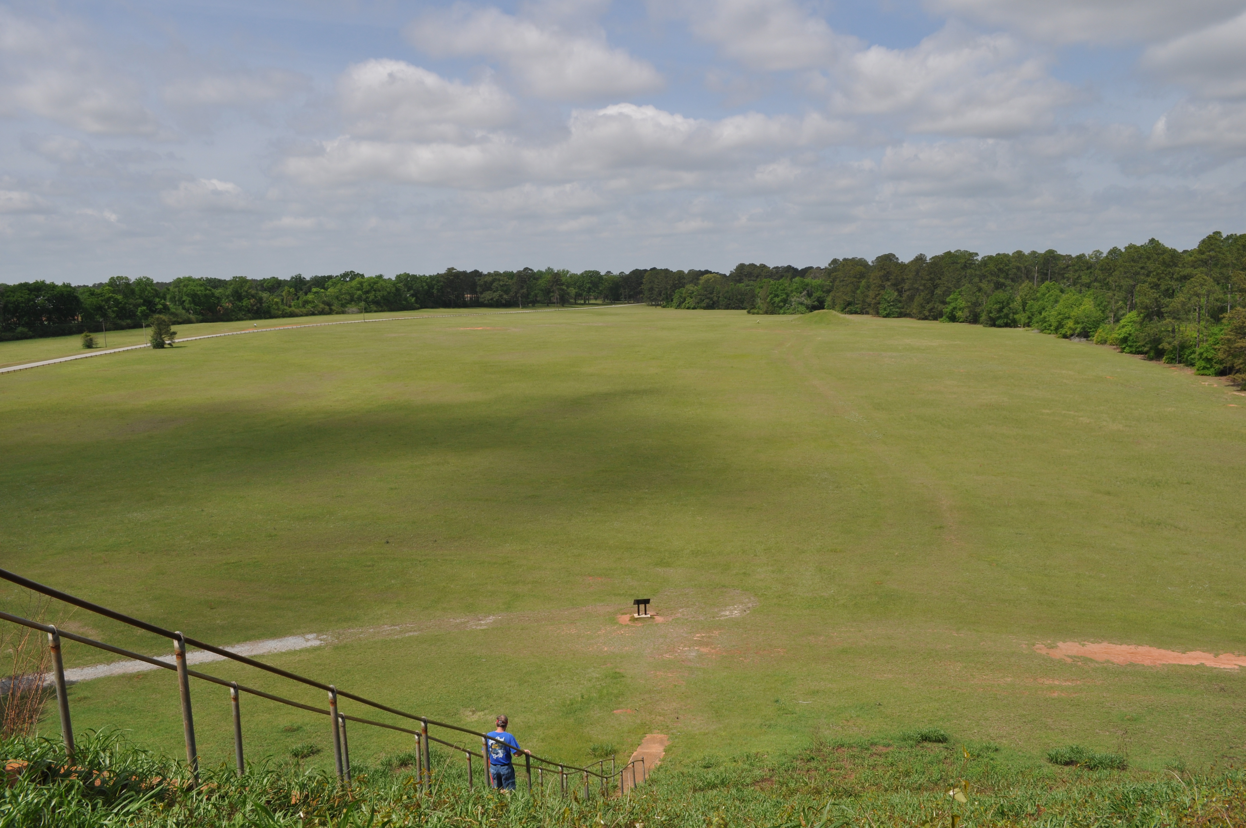
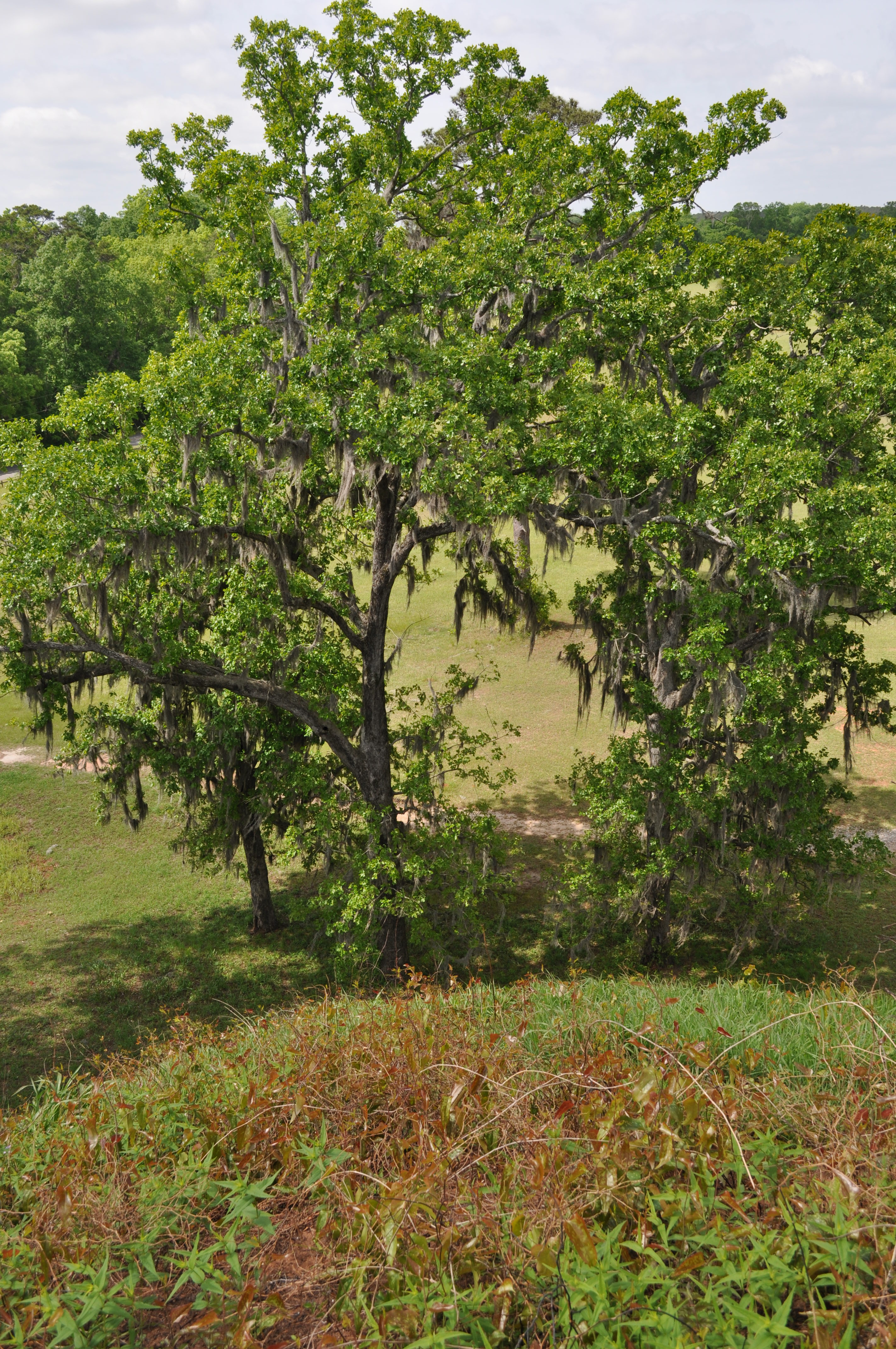
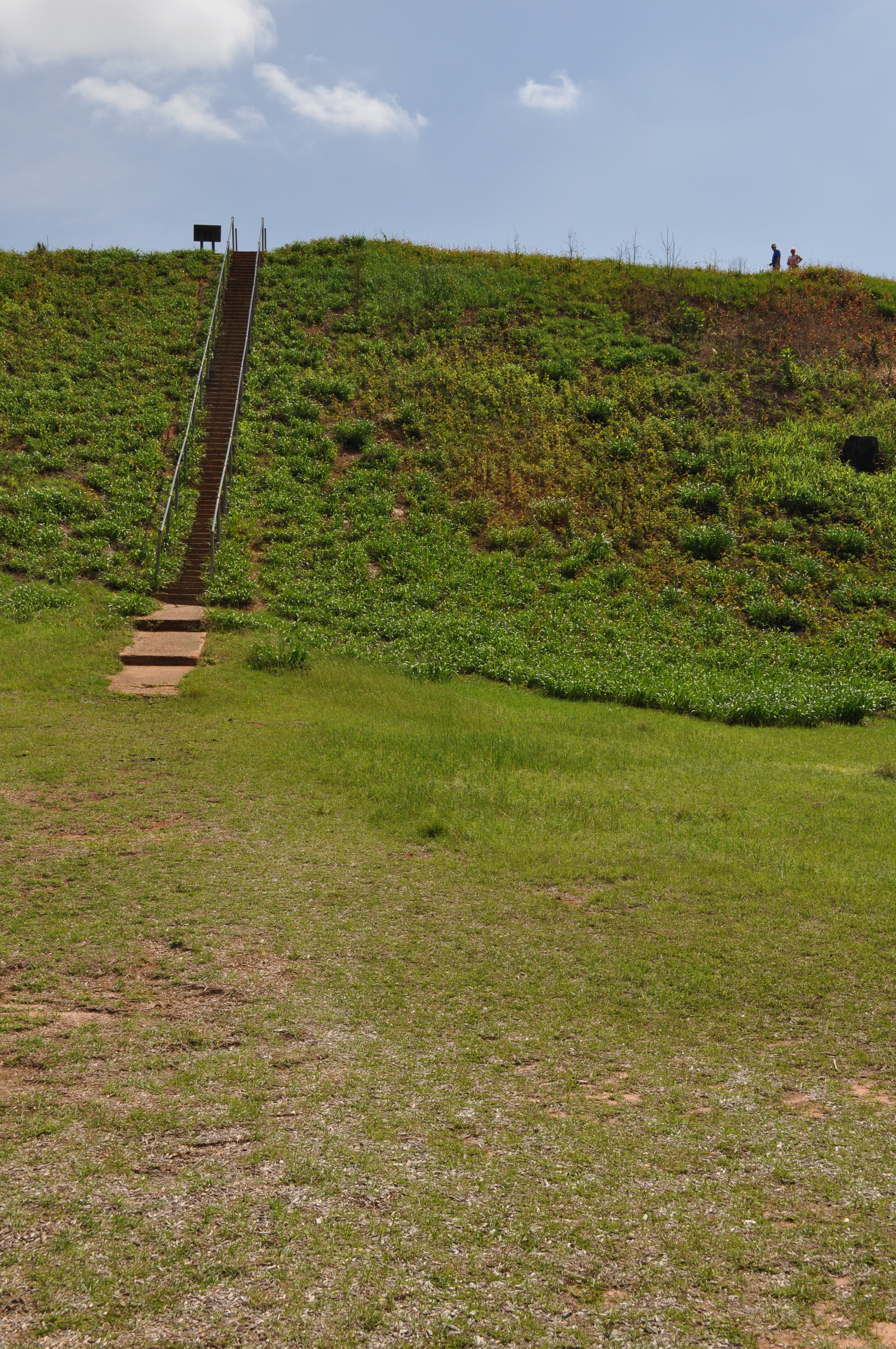
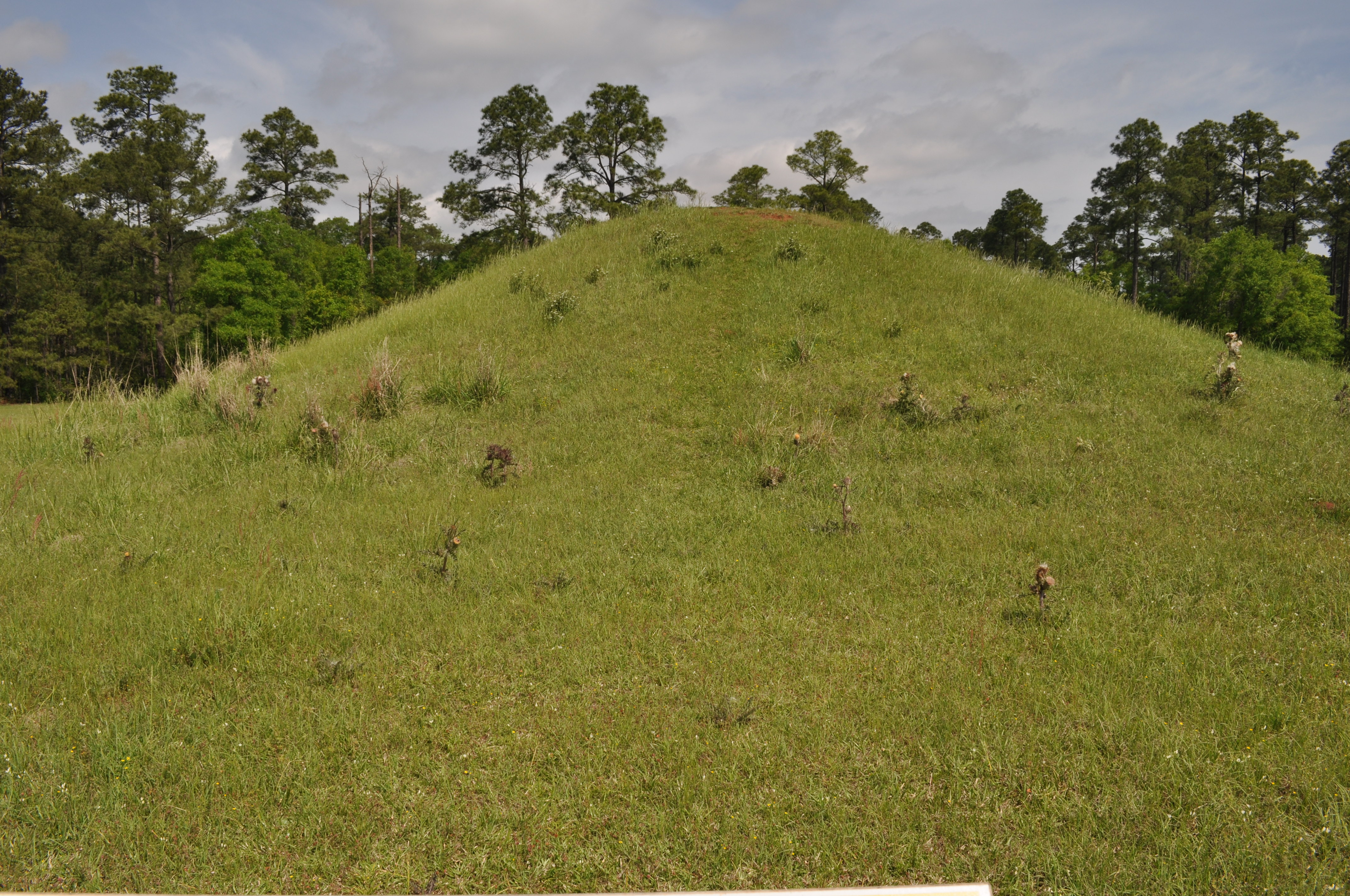
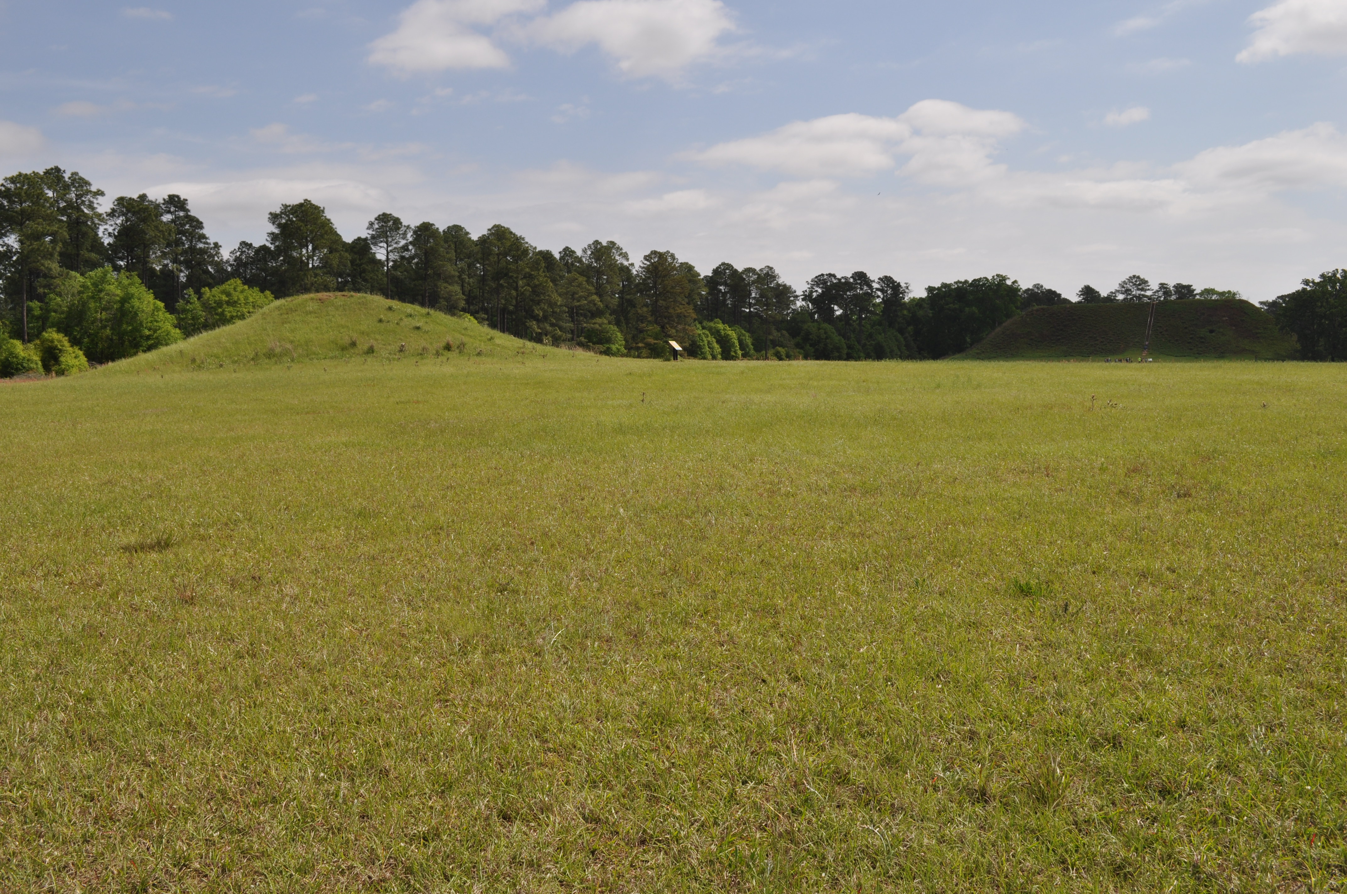
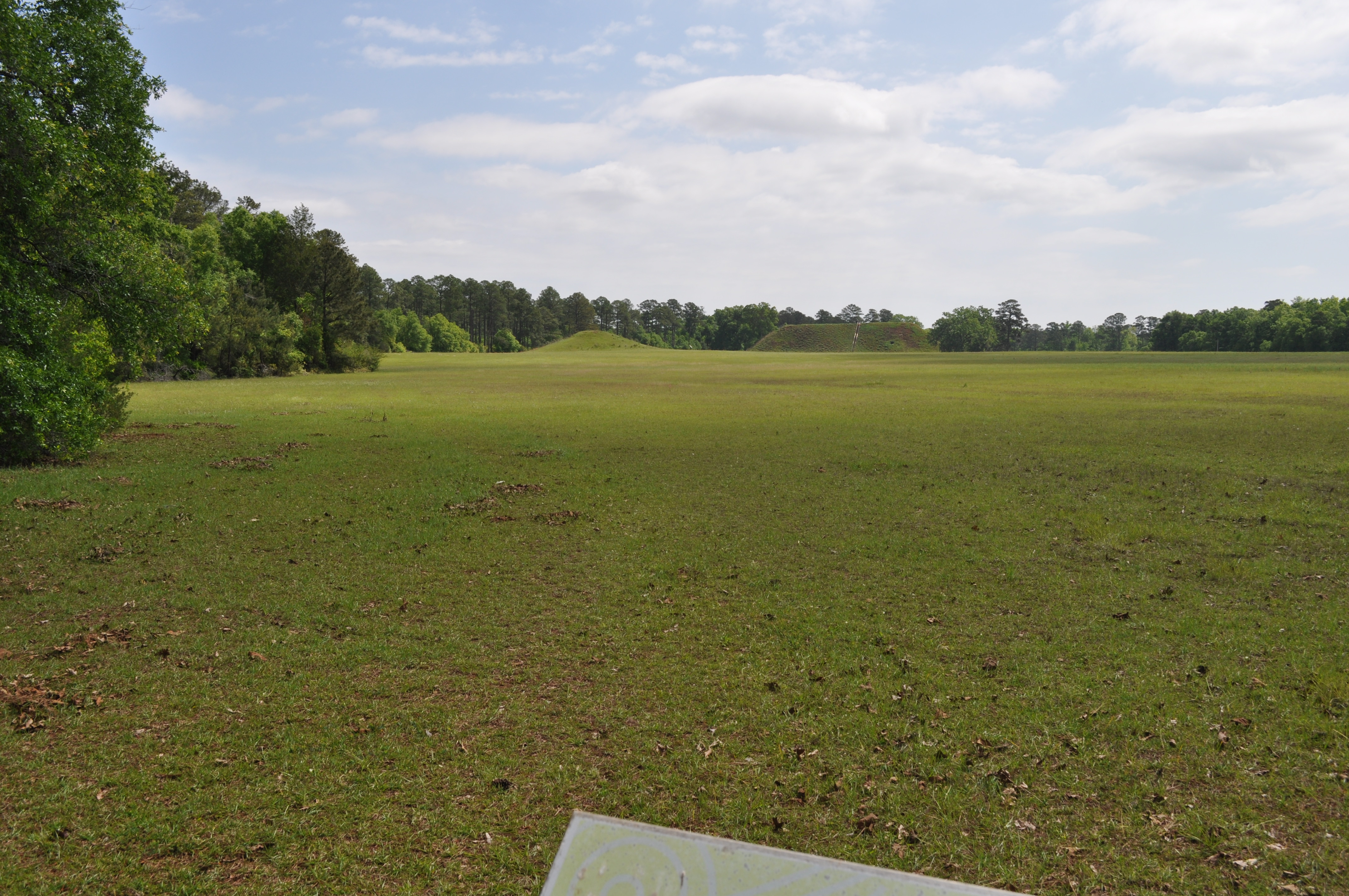
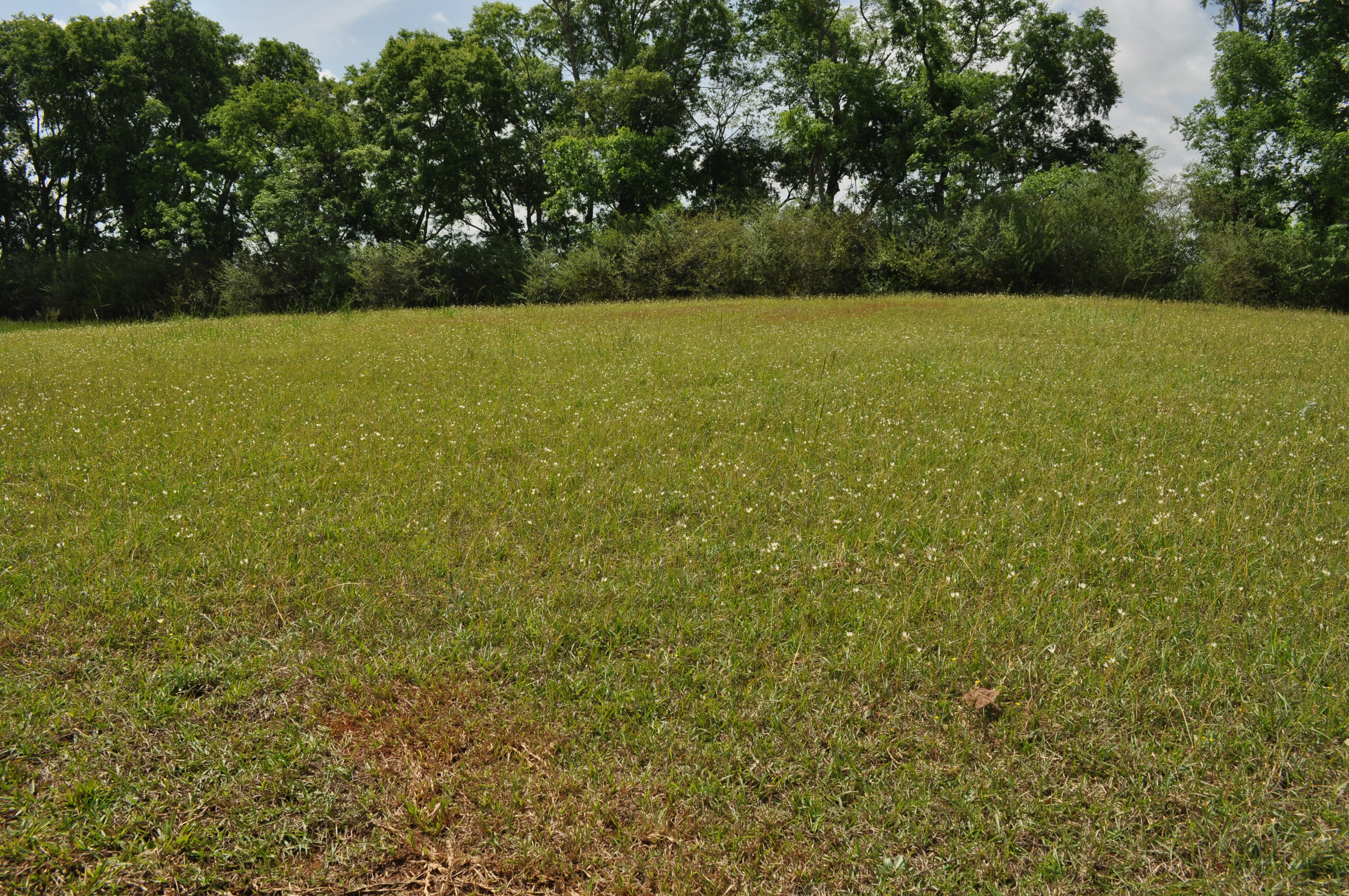
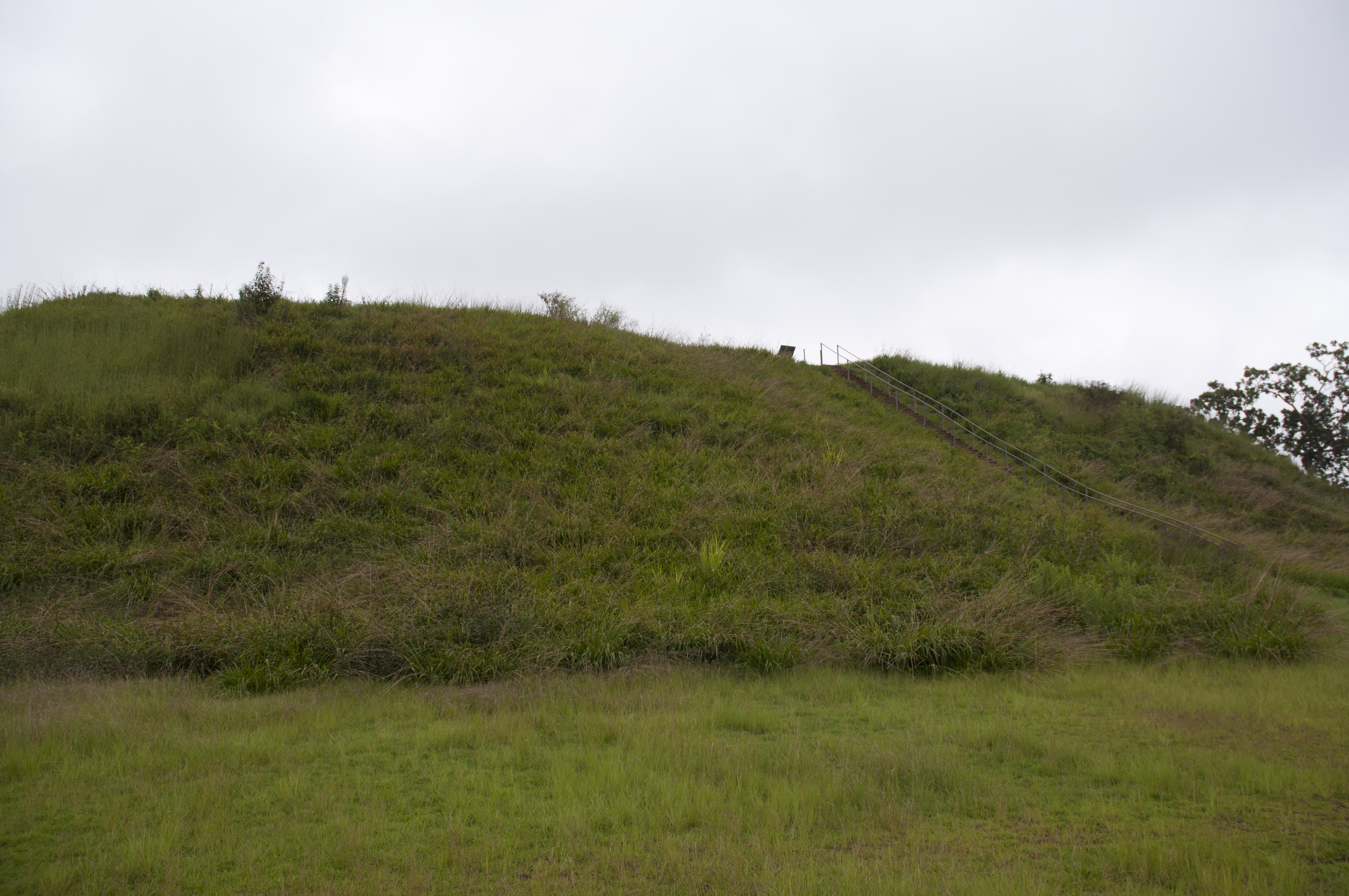
Kolomoki Mounds Historic Park, Georgia
1822 Temple Mound view Img_8574

1819 Temple Mound Img_8571
1820 Temple Mound Img_8572
1821 Temple Mound view Img_8573

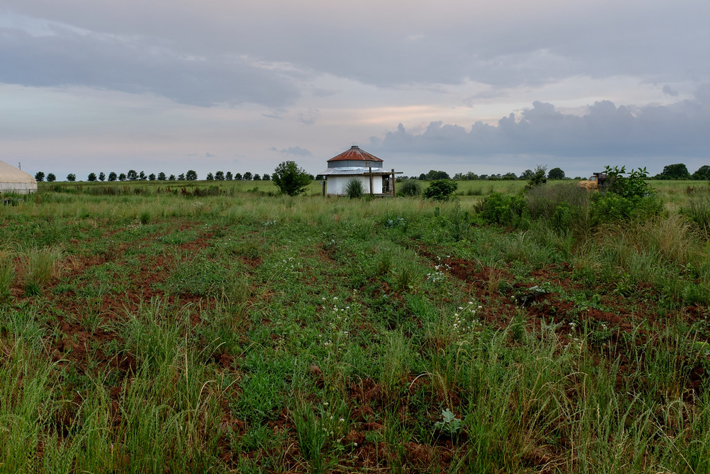
Another view of the building along the tracks
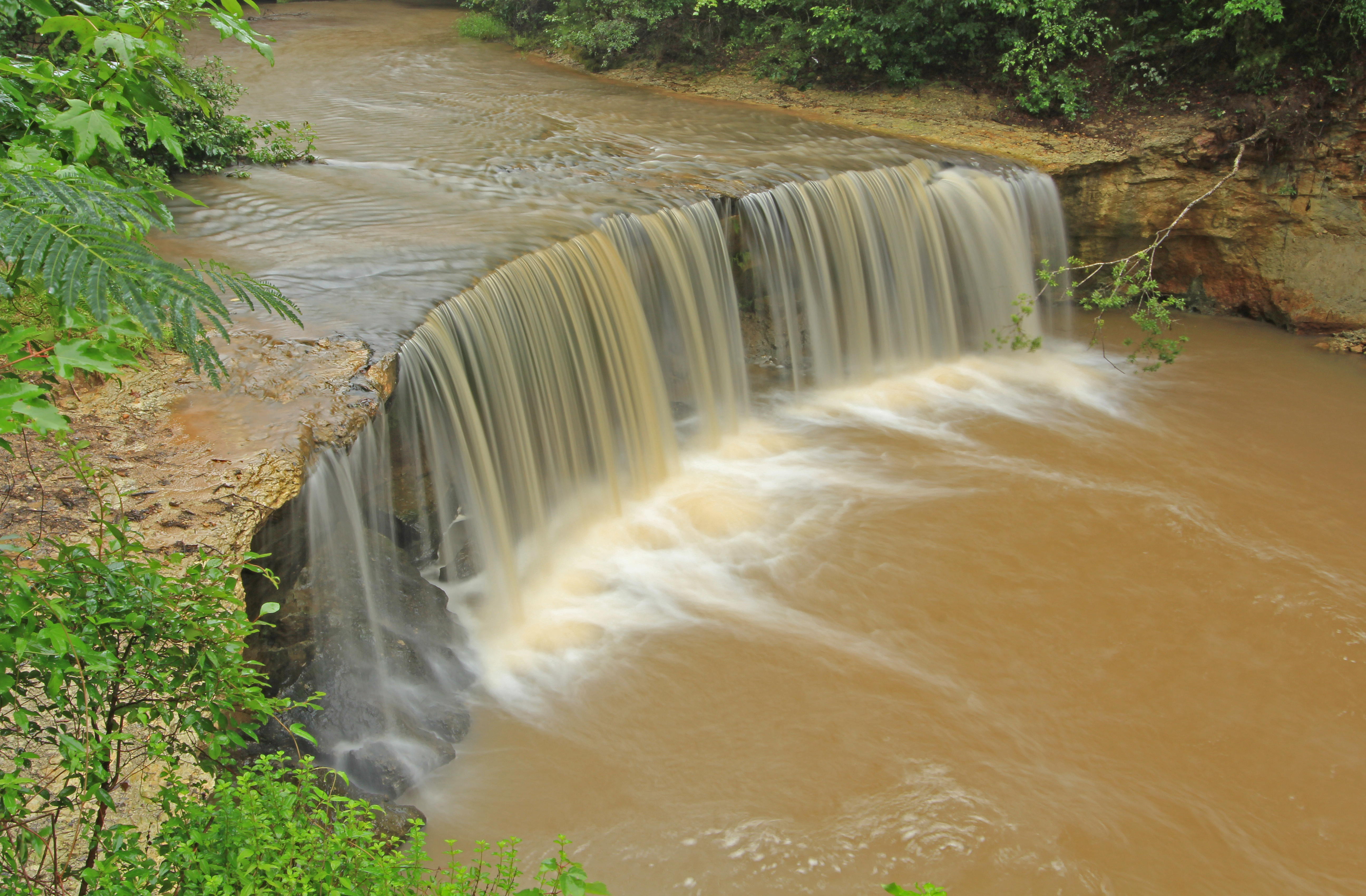
Factory Creek Falls, Factory Creek, Early County, Georgia 1
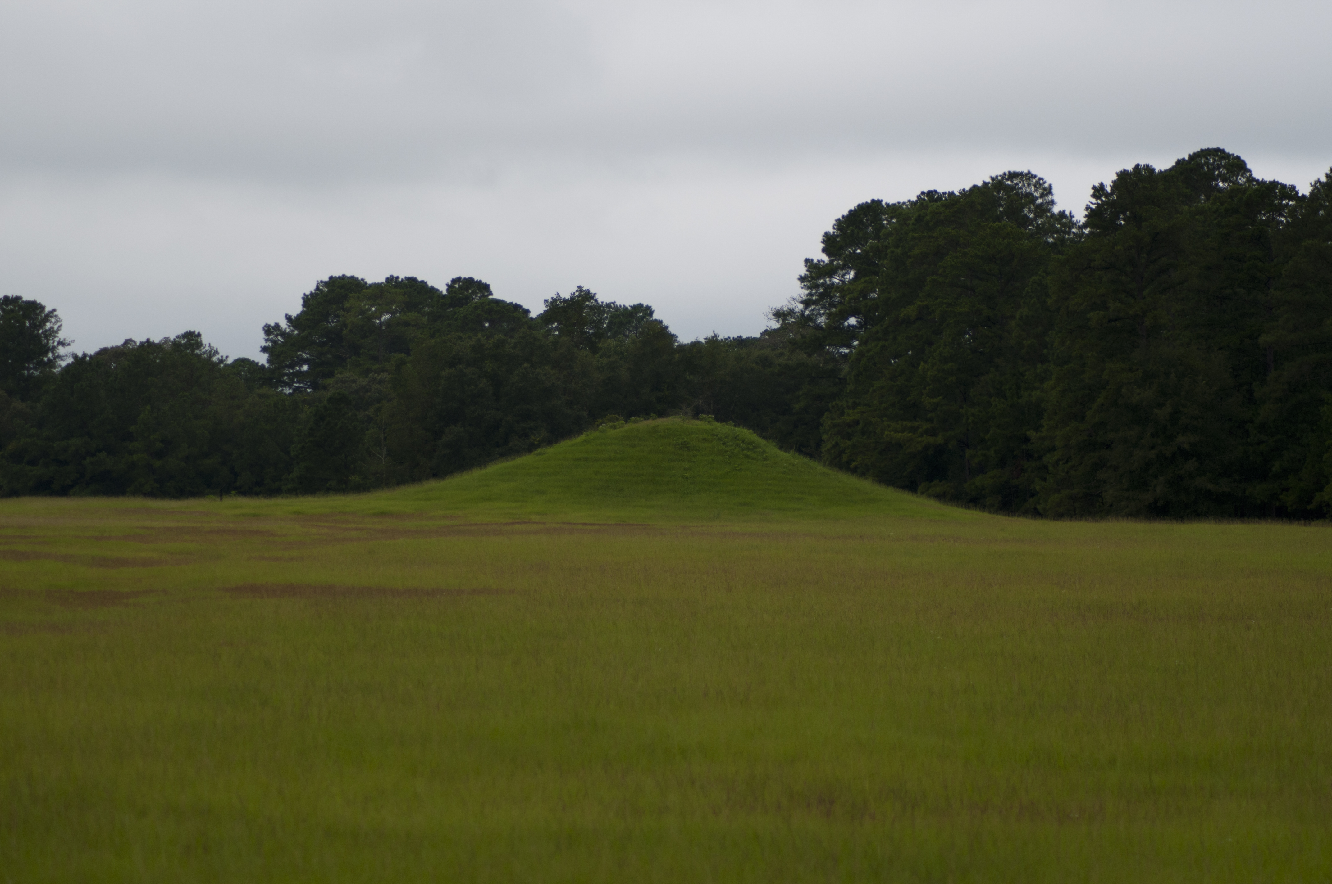
Kolomoki Mounds Historic Park, Georgia

Factory Falls
1818 Temple Mound Img_8570
1815 Mound D Img_8567

1816 Temple Mound Img_8568
1813 Mound D Img_8565
1812 Conflict Img_8564
1829 Mound H Img_8581
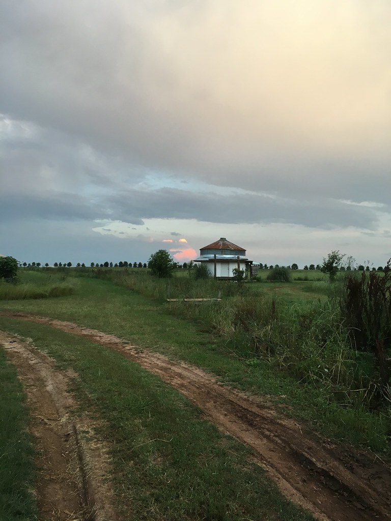
Good morning Southern Georgia!
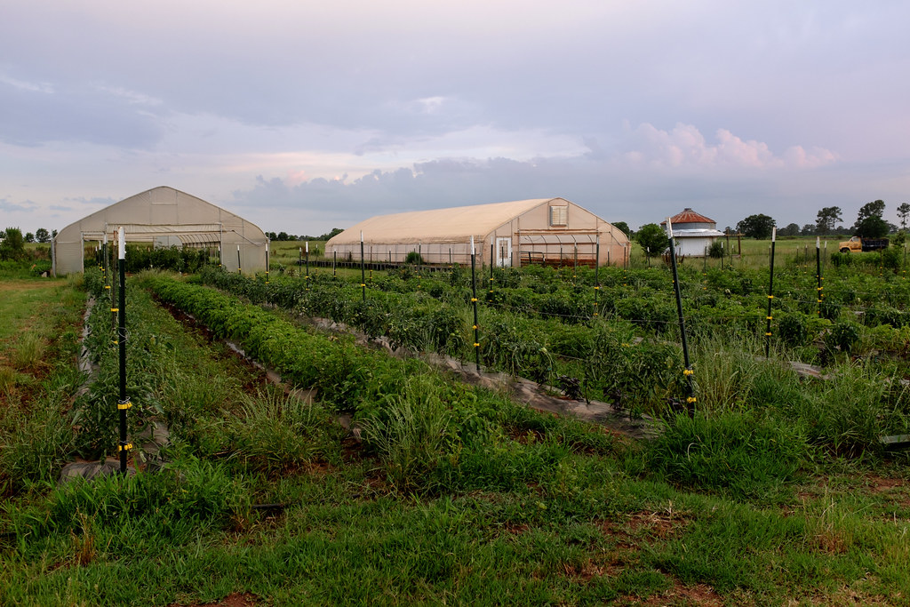
White Oak Pastures
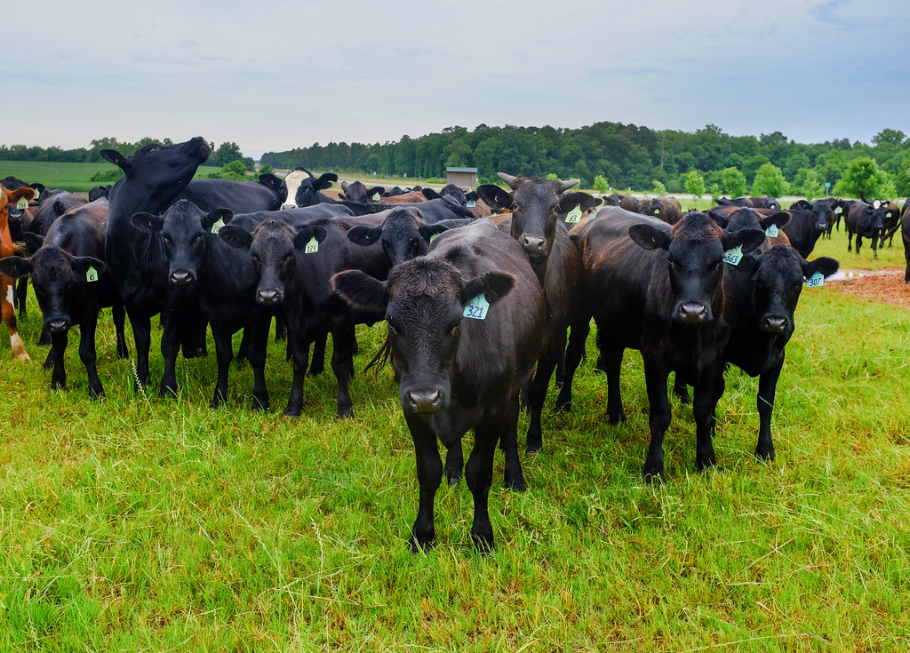
White Oak Pastures
White Oak Pastures
Kolomoki Mounds Historical Park, Georgia
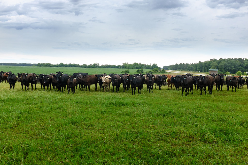
White Oak Pastures
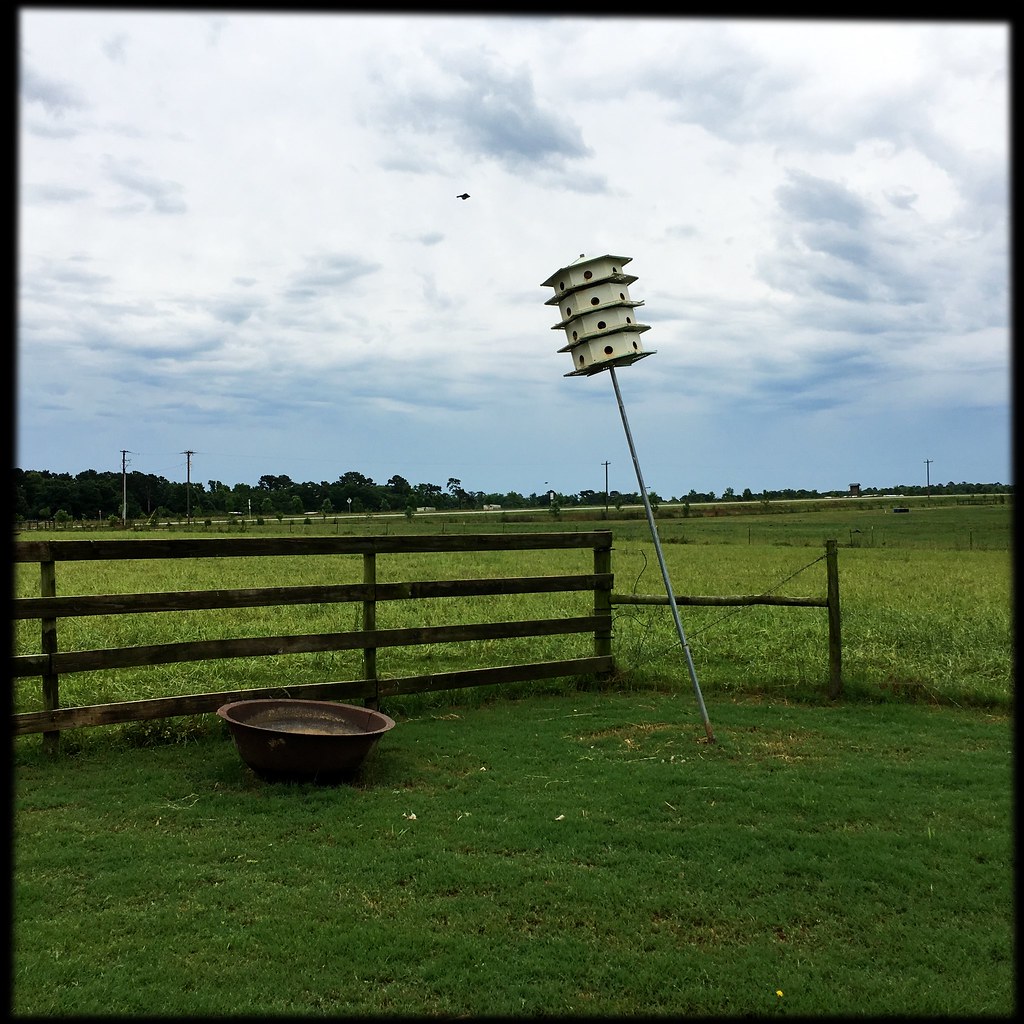
White Oak Pastures
White Oak Pastures
Topographic Map of Early County, GA, USA
Find elevation by address:

Places in Early County, GA, USA:
Places near Early County, GA, USA:
Blakely
200 Sherman Rd
Indian Mounds Road
Cuba Road
Columbia Hwy, Blakely, GA, USA
Arlington Road
Old River Rd, Blakely, GA, USA
Arlington
Pioneer Rd, Arlington, GA, USA
Chattahoochee River
Damascus
Brumby Ave, Damascus, GA, USA
Co Rd 47, Shorterville, AL, USA
5090 Nicklesville Rd
Edison
Columbia
S Main St, Columbia, AL, USA
Miller County
College St, Fort Gaines, GA, USA
Fort Gaines
Recent Searches:
- Elevation of Falling Spring Rd, Clyde, NC, USA
- Elevation of Kingsfield St, Castle Rock, CO, USA
- Elevation of AMELIA CT HSE, VA, USA
- Elevation of Abbey Dr, Virginia Beach, VA, USA
- Elevation of Brooks Lp, Spearfish, SD, USA
- Elevation of Panther Dr, Maggie Valley, NC, USA
- Elevation of Jais St - Wadi Shehah - Ras al Khaimah - United Arab Emirates
- Elevation of Shawnee Avenue, Shawnee Ave, Easton, PA, USA
- Elevation of Scenic Shore Dr, Kingwood Area, TX, USA
- Elevation of W Prive Cir, Delray Beach, FL, USA