Elevation of Columbia Hwy, Blakely, GA, USA
Location: United States > Georgia > Early County > Blakely >
Longitude: -85.001193
Latitude: 31.329918
Elevation: 68m / 223feet
Barometric Pressure: 101KPa
Elevation Map:
Satellite Map:
Related Photos:
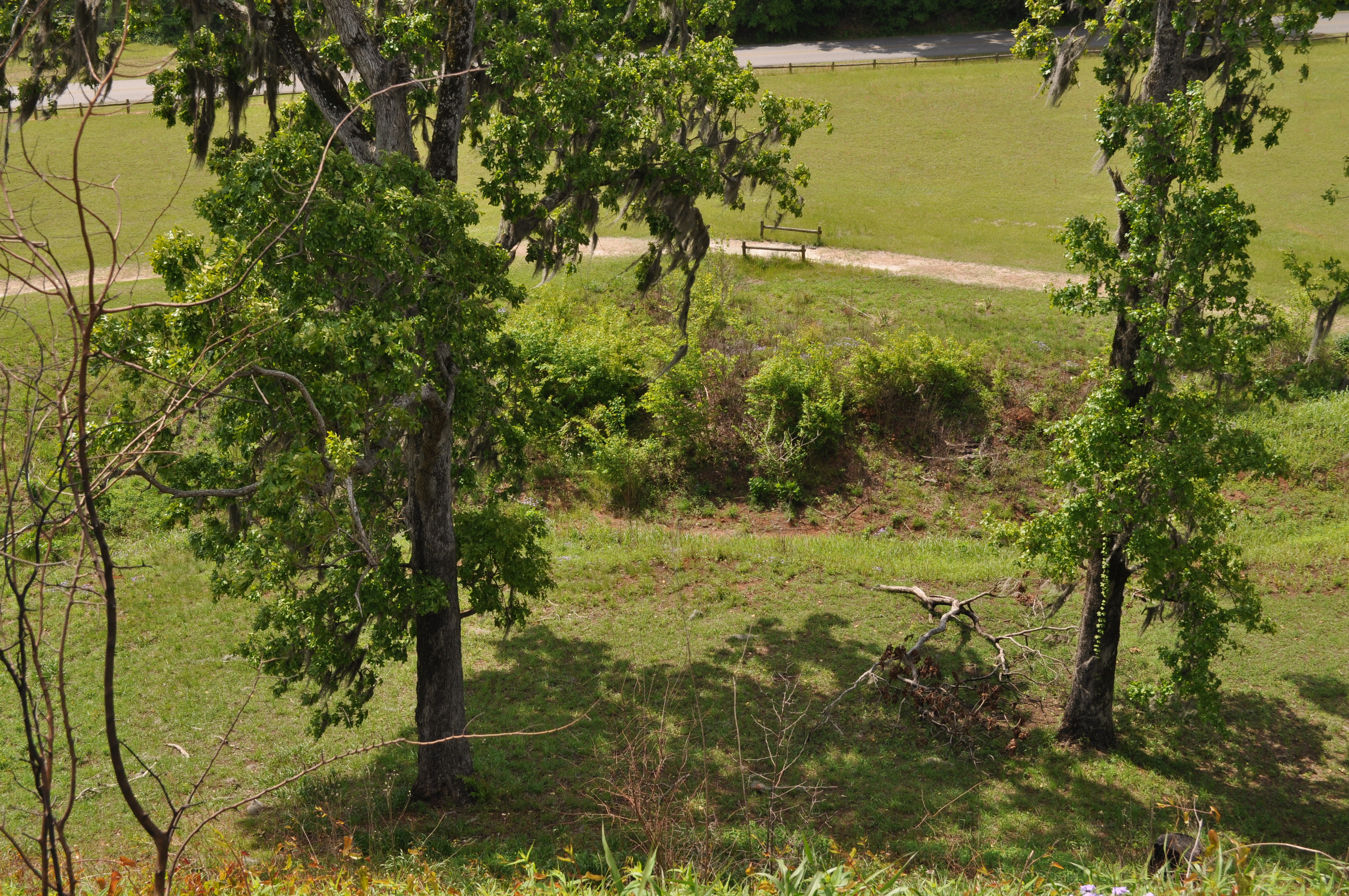
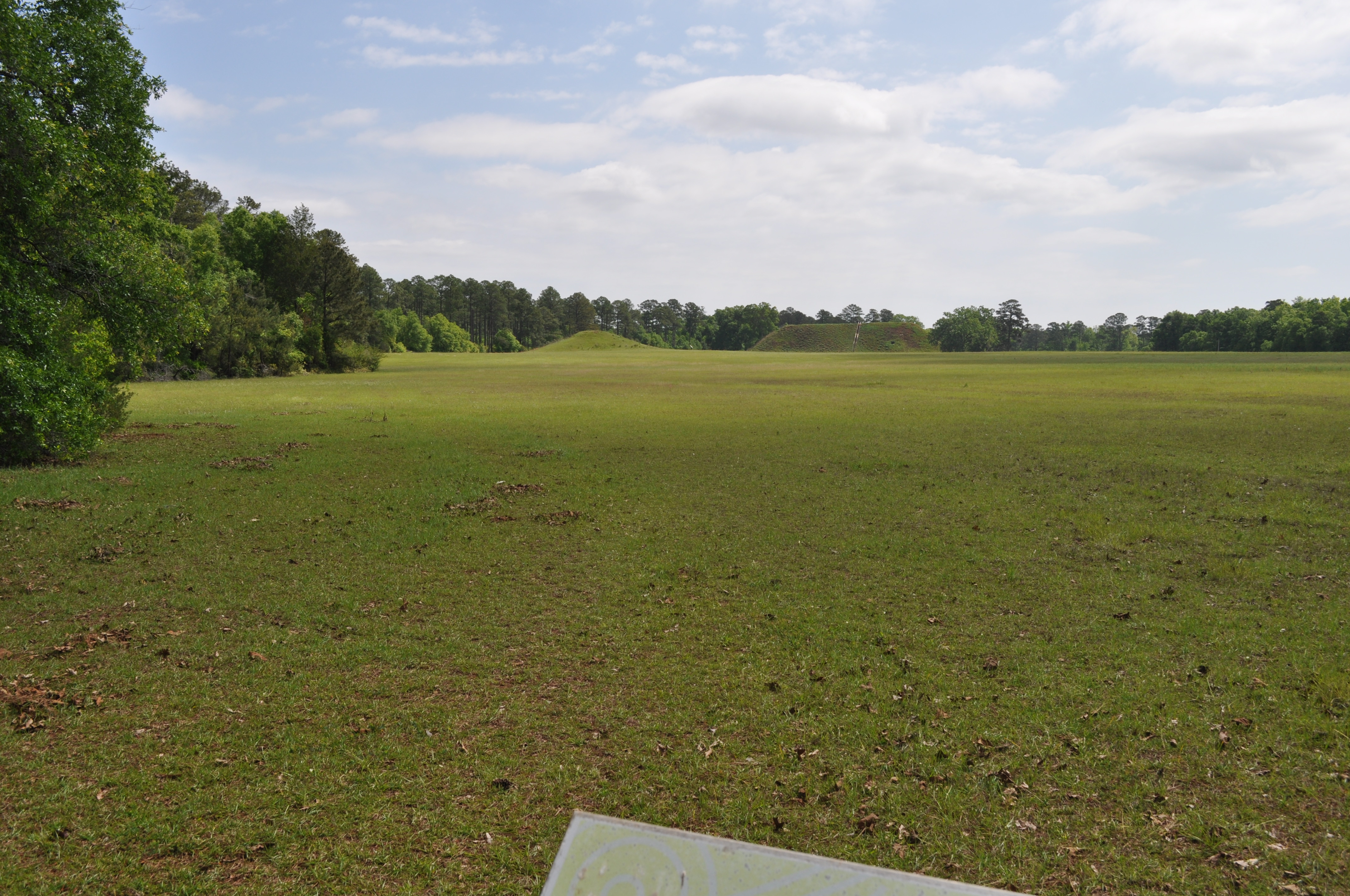
1822 Temple Mound view Img_8574
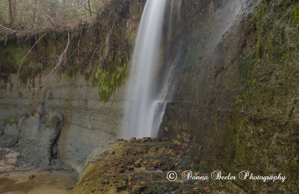
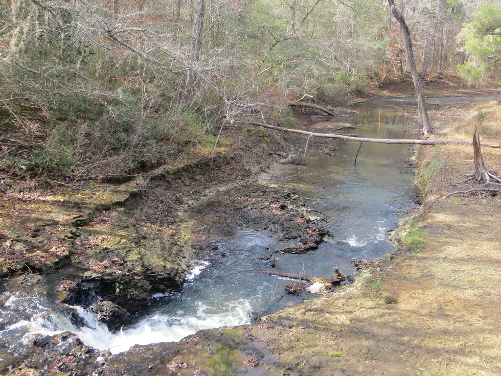
Hidden Falls, outside Haleburg Alabama

1819 Temple Mound Img_8571
1820 Temple Mound Img_8572
1821 Temple Mound view Img_8573
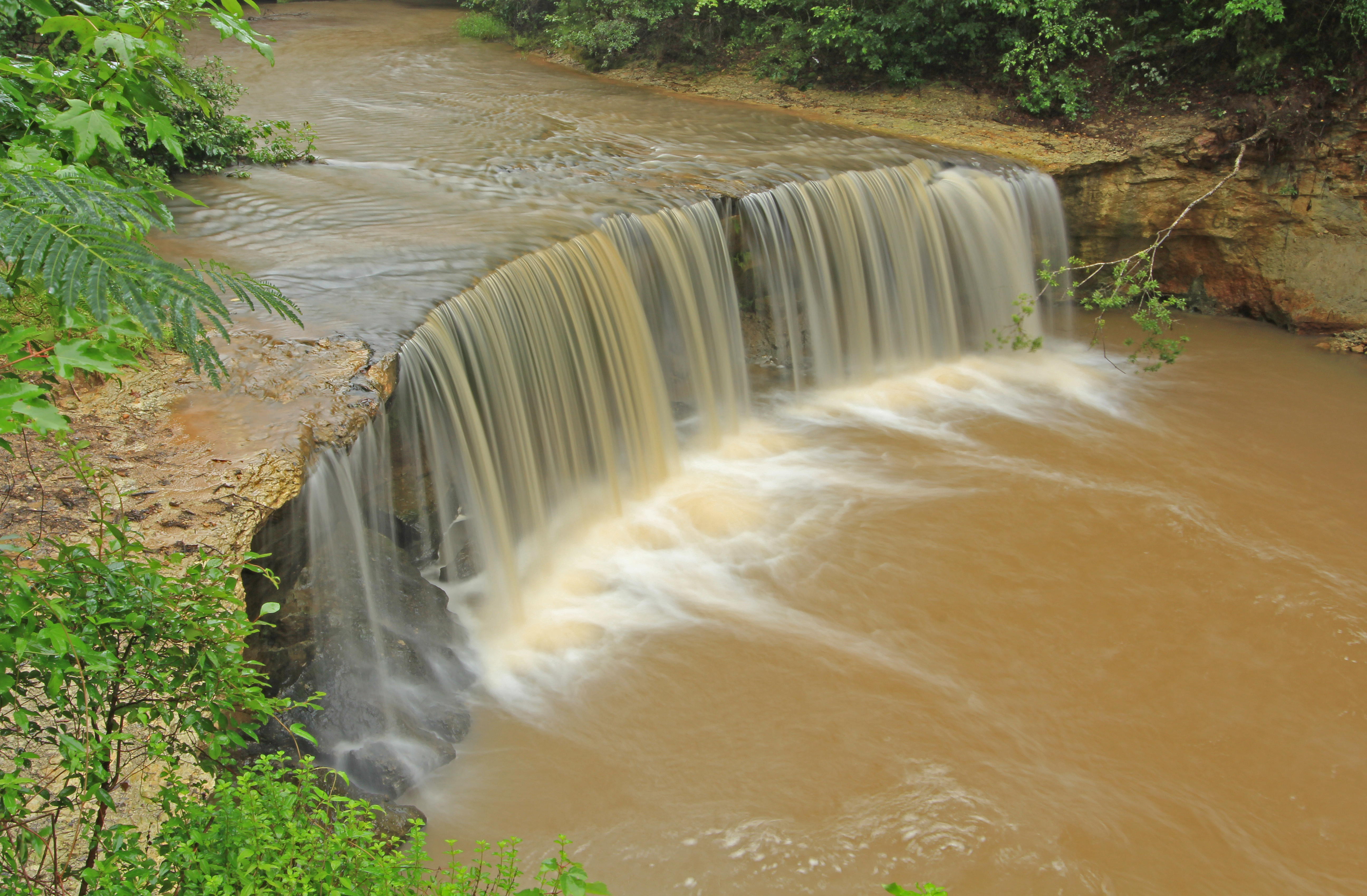
Factory Creek Falls, Factory Creek, Early County, Georgia 1

Bridge and waterfall

Coheelee Creek Covered Bridge
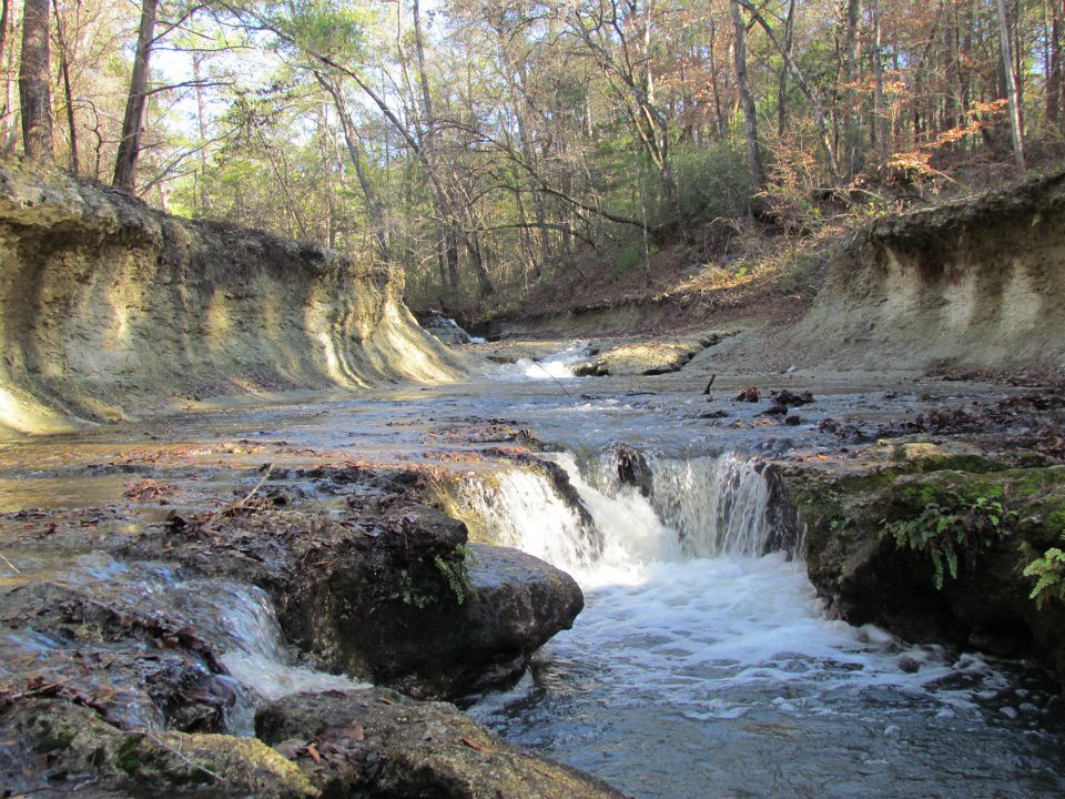
Coheelee Creek

Factory Falls
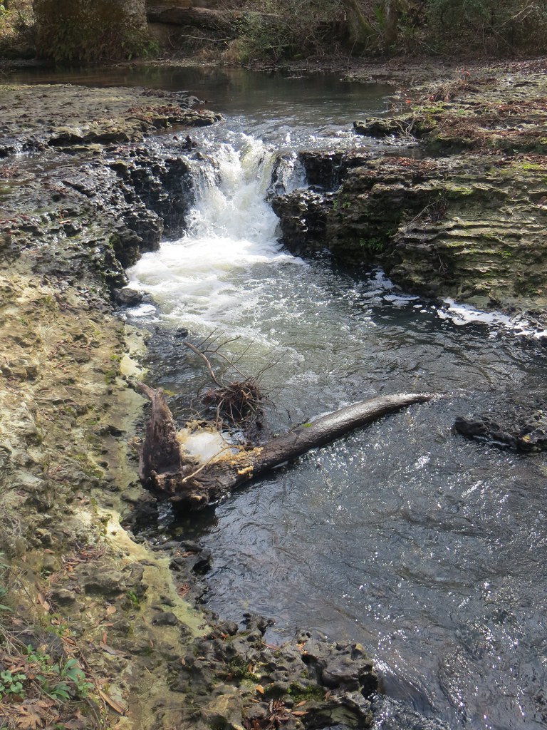
Coheelee Creek 1 Hilton GA
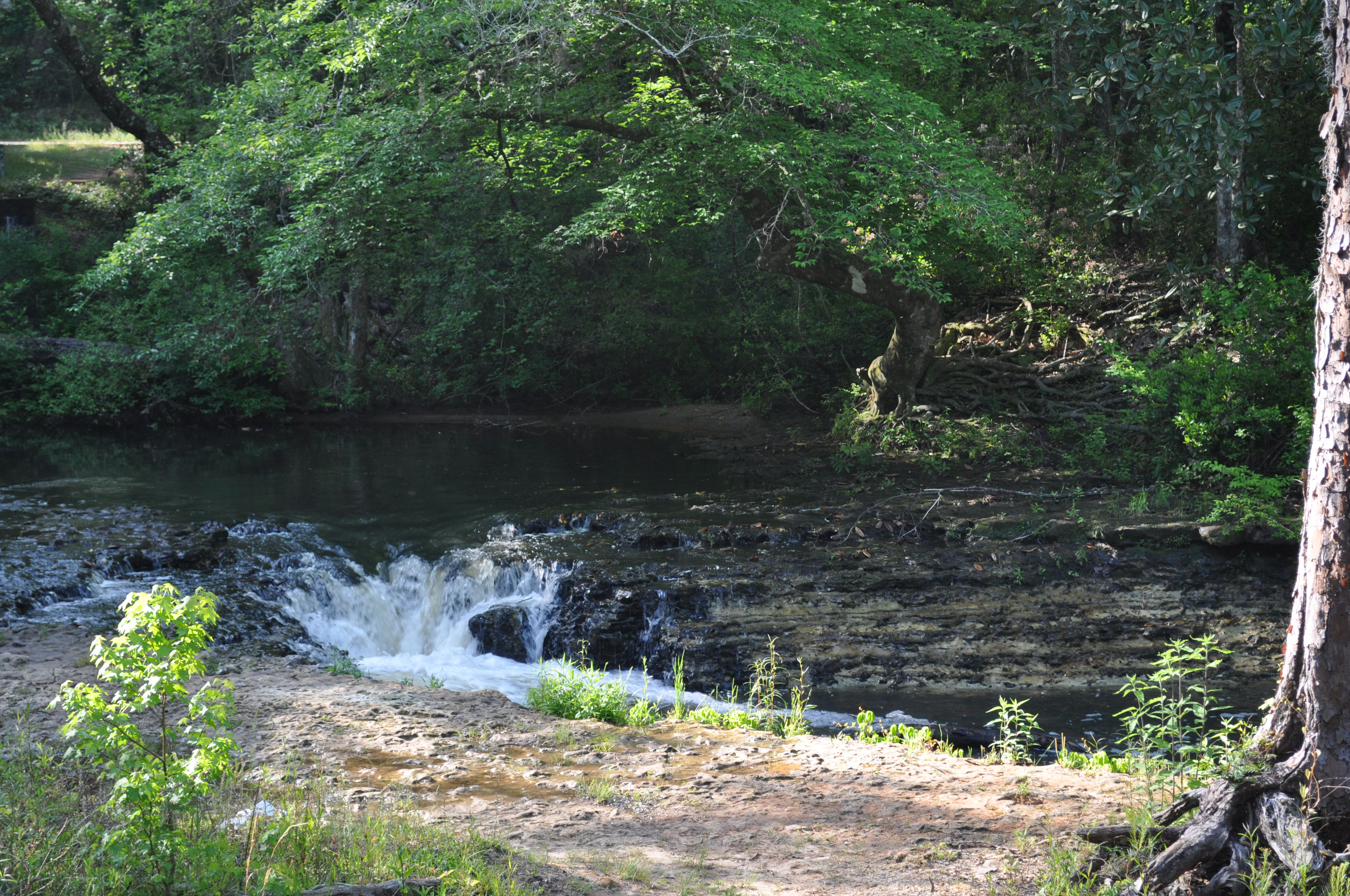
1789 Water falls Img_8541
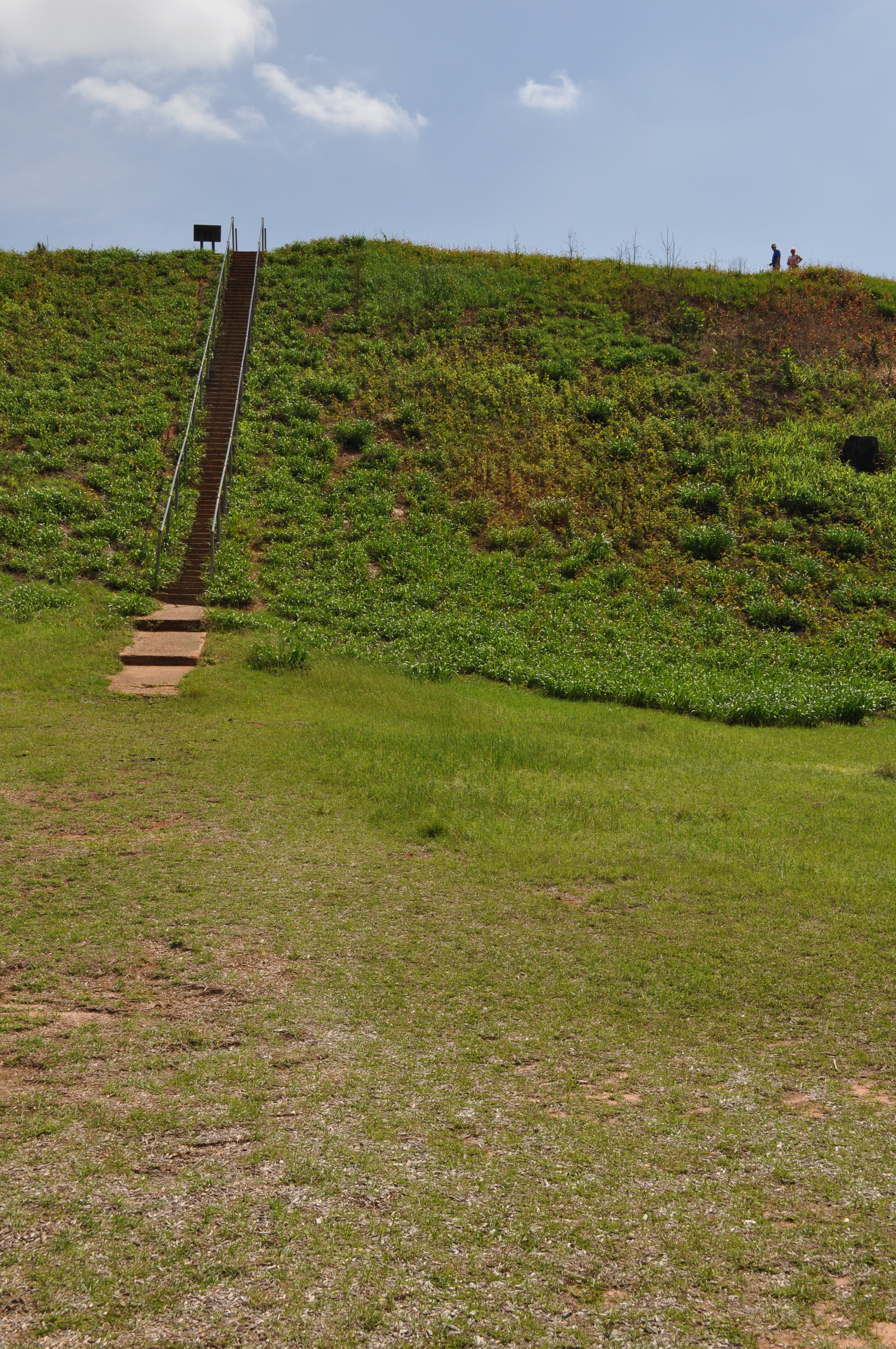
1818 Temple Mound Img_8570
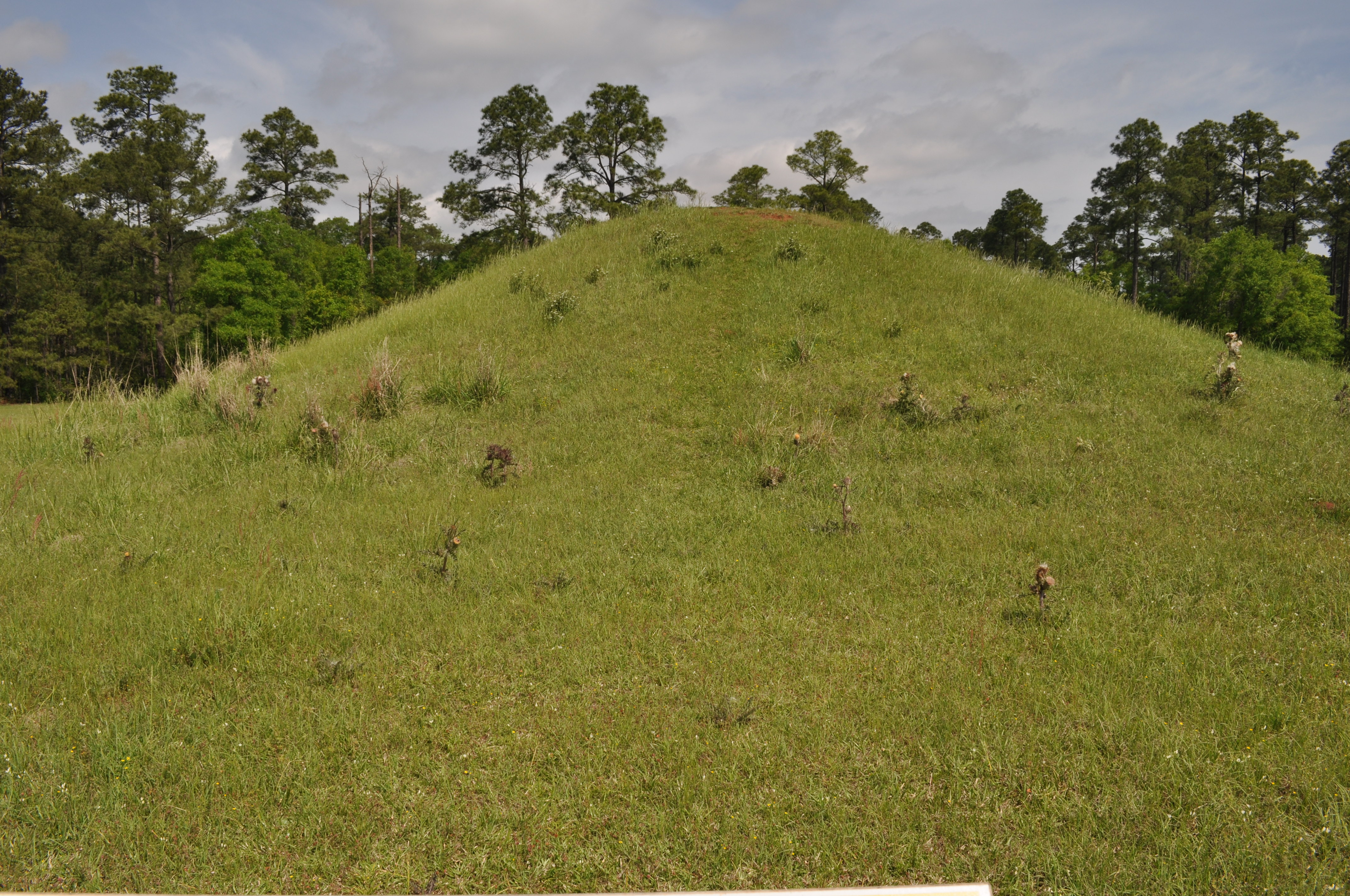
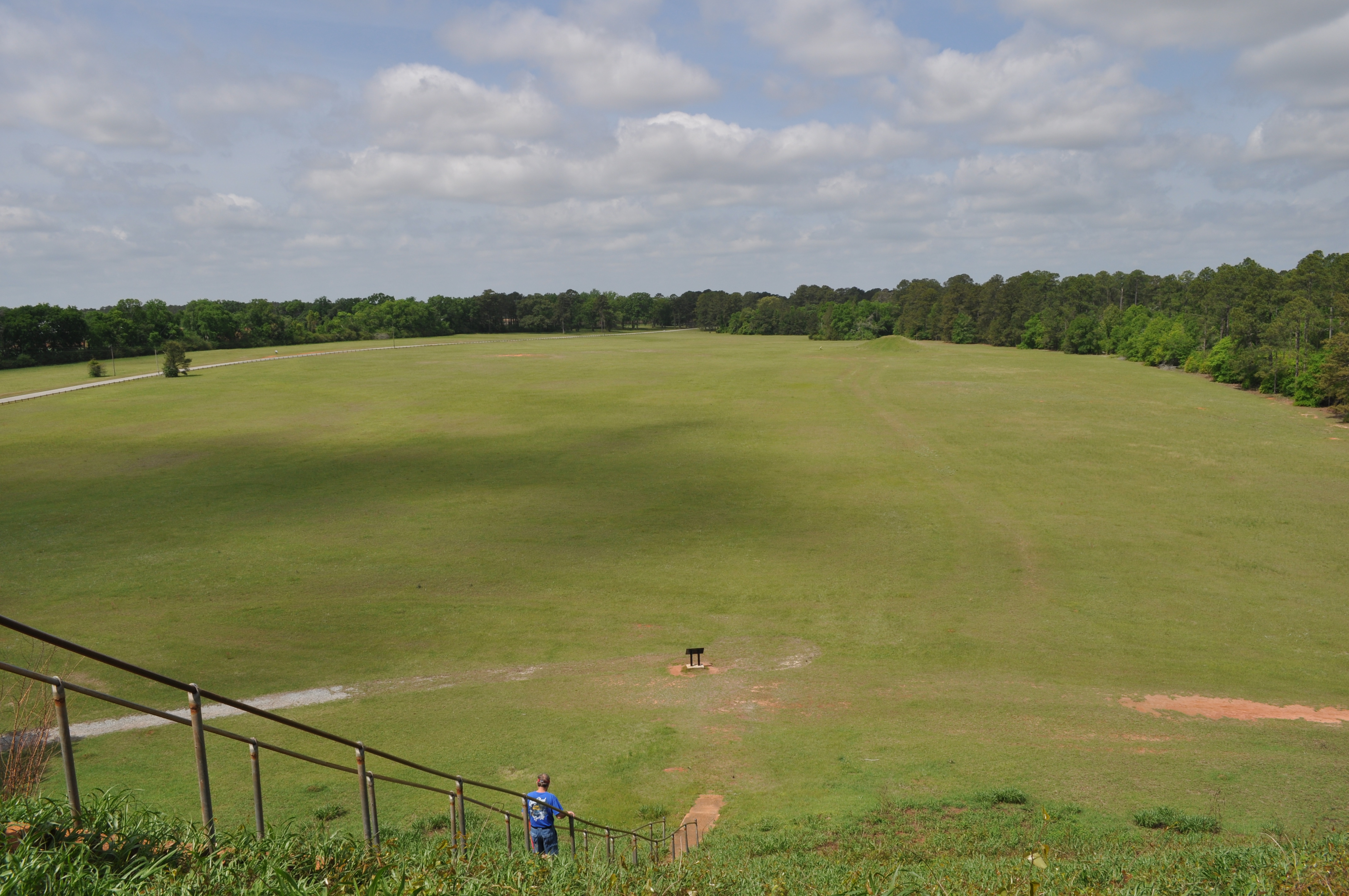
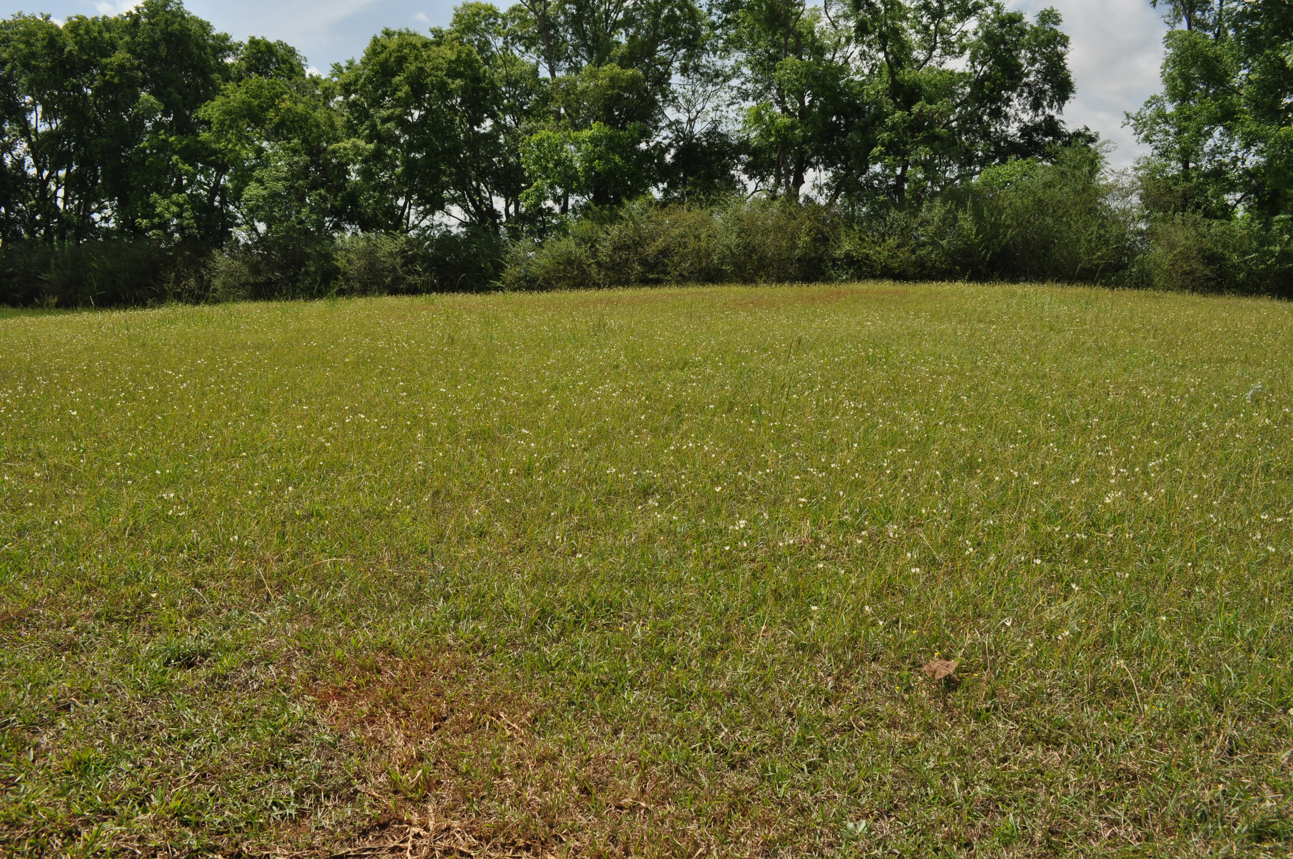
1815 Mound D Img_8567

1816 Temple Mound Img_8568
Coheelee Creek 2 Hilton GA
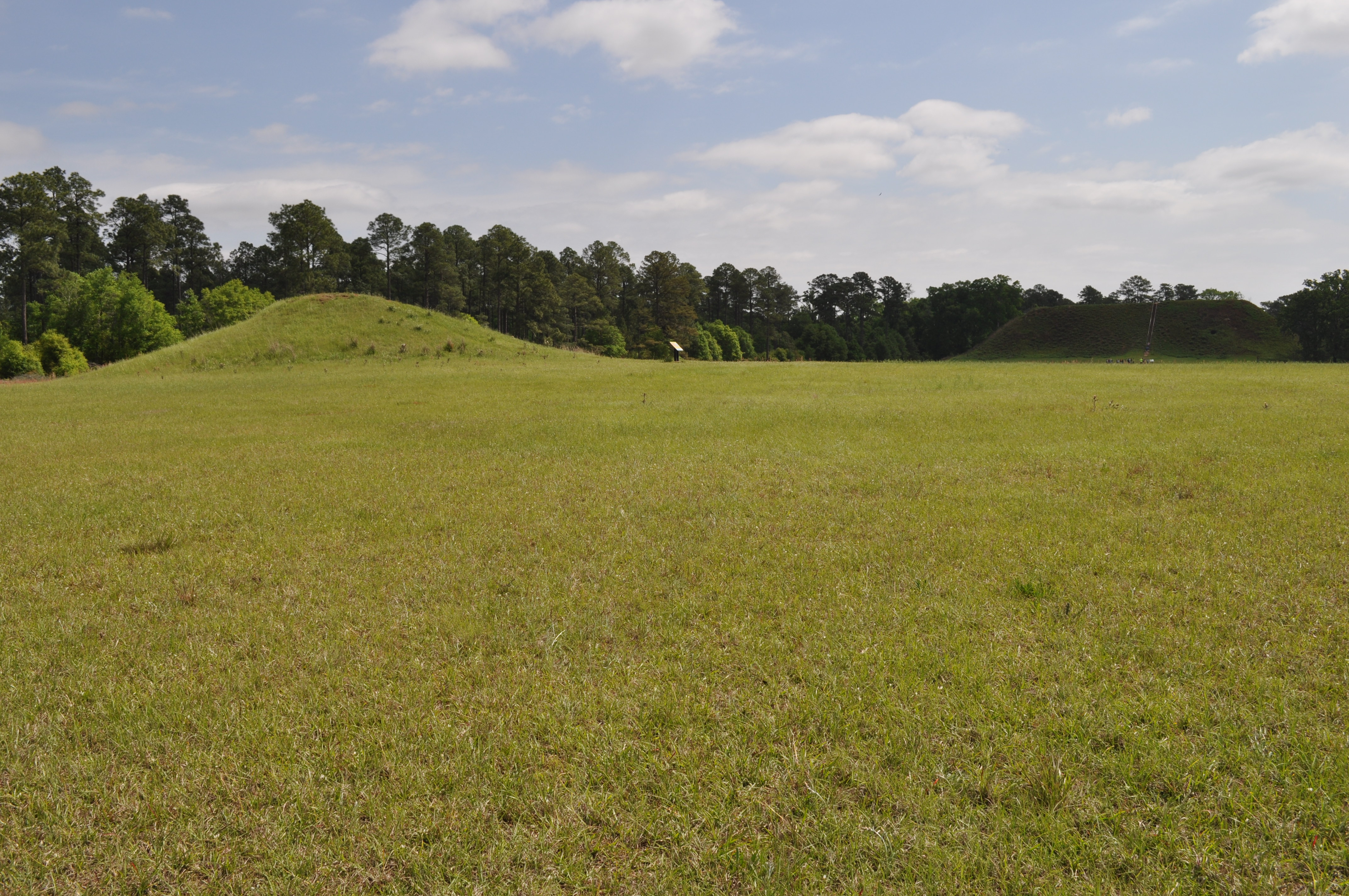
1813 Mound D Img_8565
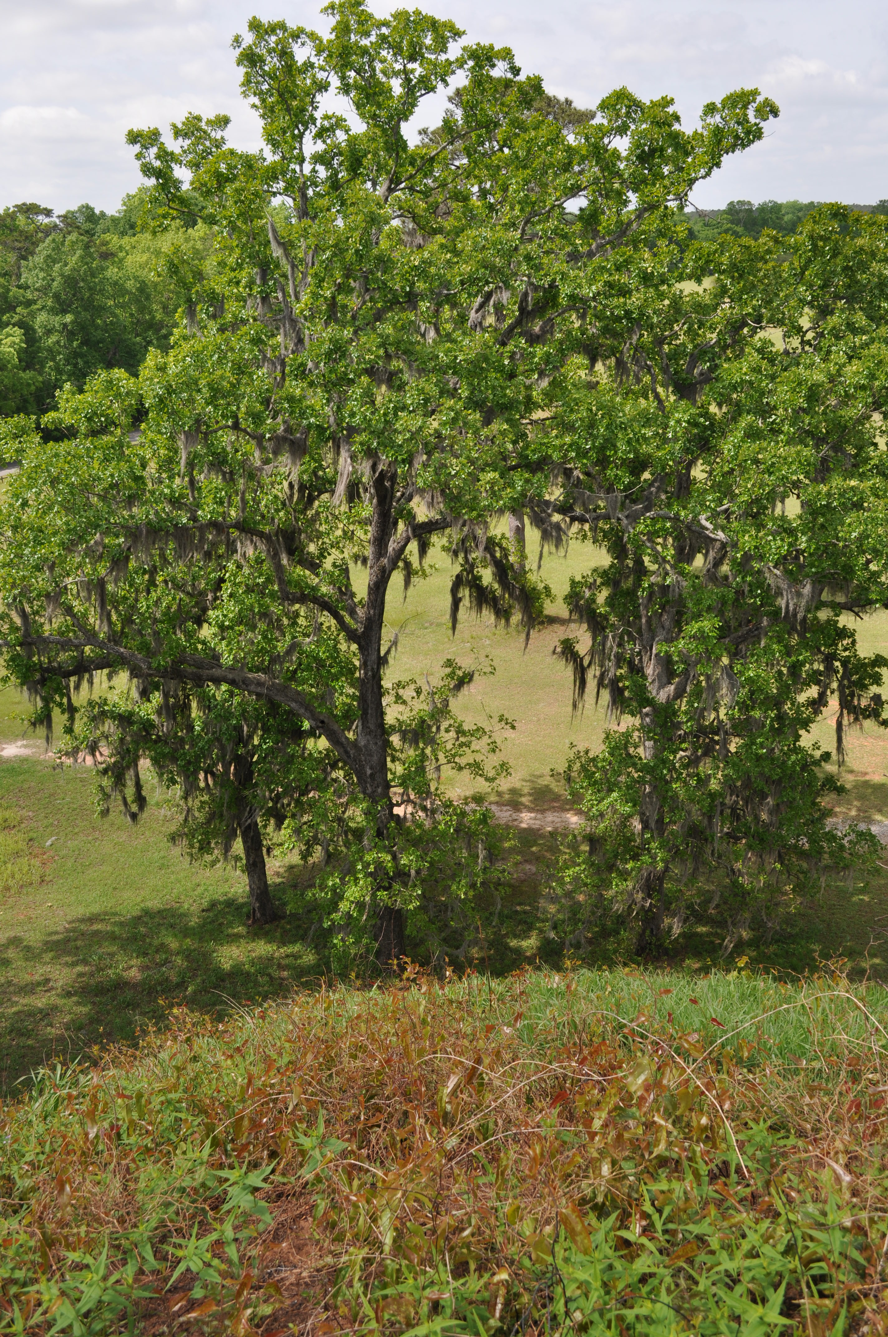
1812 Conflict Img_8564
1829 Mound H Img_8581
Good morning Southern Georgia!
Topographic Map of Columbia Hwy, Blakely, GA, USA
Find elevation by address:

Places near Columbia Hwy, Blakely, GA, USA:
Old River Rd, Blakely, GA, USA
Chattahoochee River
Blakely
Columbia
S Main St, Columbia, AL, USA
Early County
Cuba Road
Indian Mounds Road
200 Sherman Rd
Co Rd 47, Shorterville, AL, USA
Benton Store Rd, Ashford, AL, USA
J D Love Road
Gordon
11073 Co Rd 65
AL-, Columbia, AL, USA
Henry County
Co Rd 65, Shorterville, AL, USA
Houston County 22, Ashford, AL, USA
Arlington Road
AL-52, Webb, AL, USA
Recent Searches:
- Elevation of Polzela, Slovenia
- Elevation of Gorod Kislovodsk, Stavropol Krai, Russia
- Elevation of Kislovodsk, Stavropol Krai, Russia
- Elevation of Eagle Stone Drive, Eagle Stone Dr, The Preserve at Corkscrew, FL, USA
- Elevation of Formby Ct, Myrtle Beach, SC, USA
- Elevation of Hobbyhorse Ct, Dover, DE, USA
- Elevation of Horseshoe Ln, Dahlonega, GA, USA
- Elevation of Village Point Dr, Daphne, AL, USA
- Elevation map of Kabardino-Balkarian Republic, Russia
- Elevation of Tyrnyauz, Kabardino-Balkarian Republic, Russia