Elevation of Blakely, GA, USA
Location: United States > Georgia > Early County >
Longitude: -84.934092
Latitude: 31.3776754
Elevation: 82m / 269feet
Barometric Pressure: 100KPa
Elevation Map:
Satellite Map:
Related Photos:

Another view of the building along the tracks

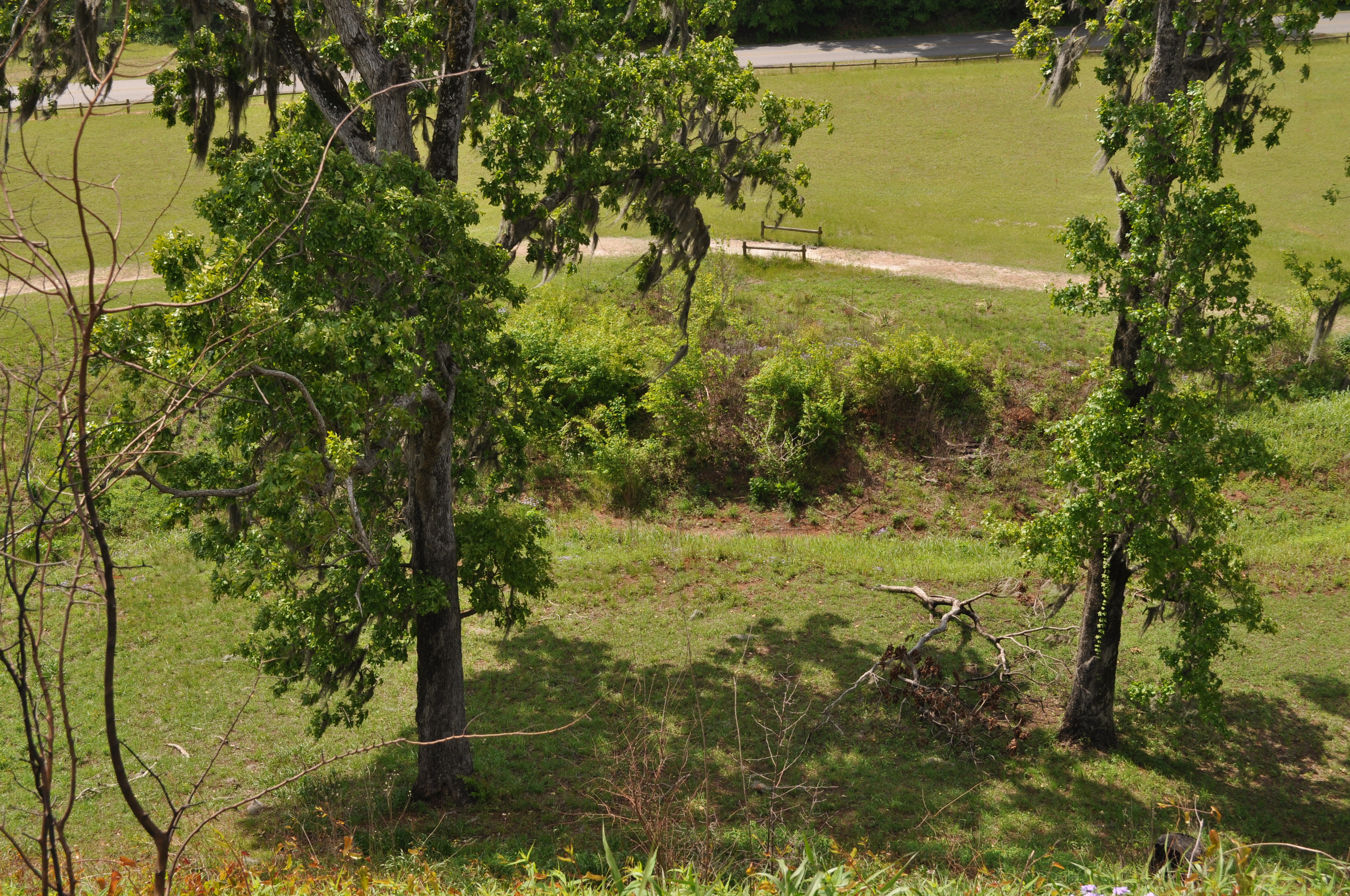
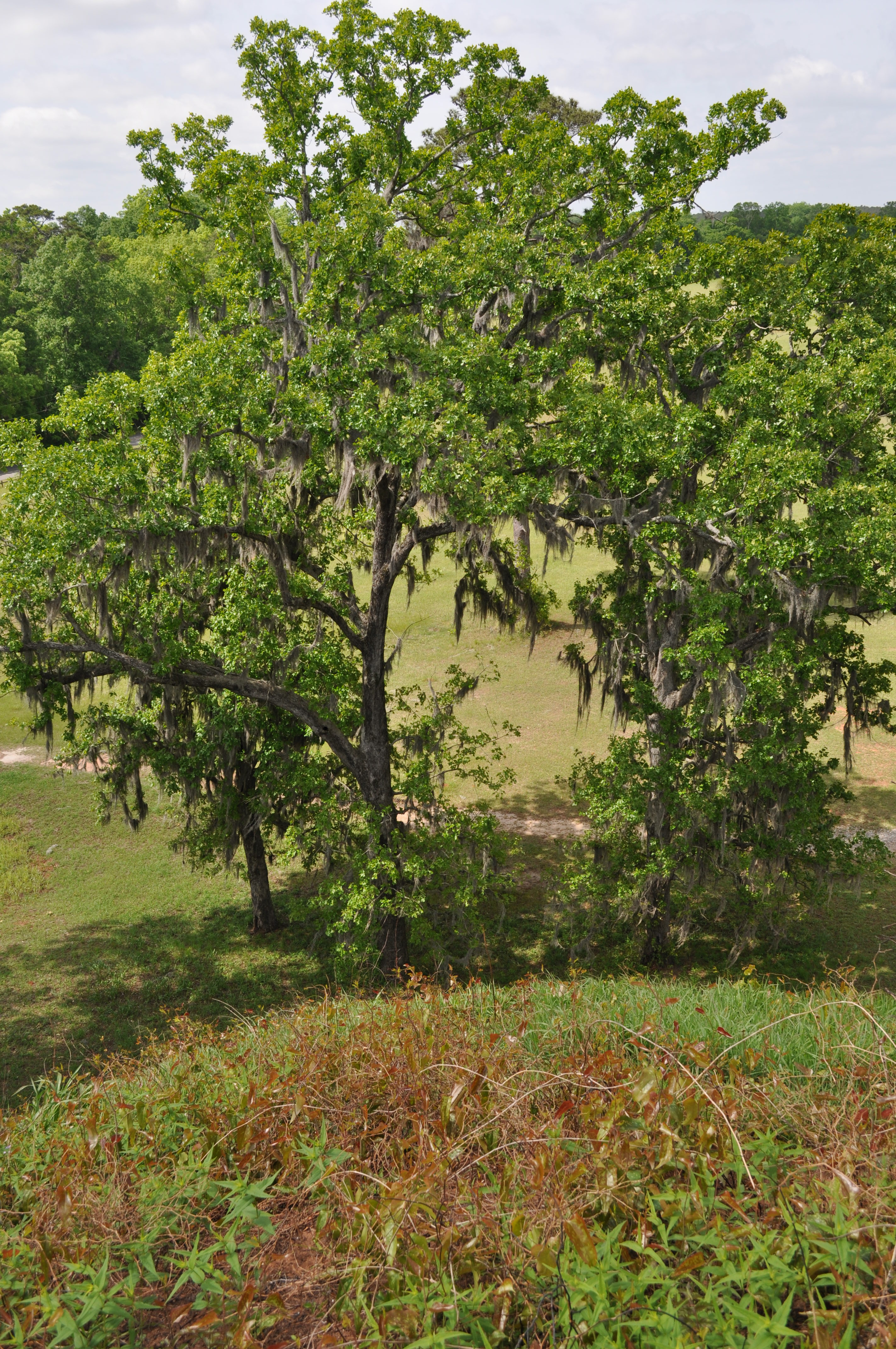
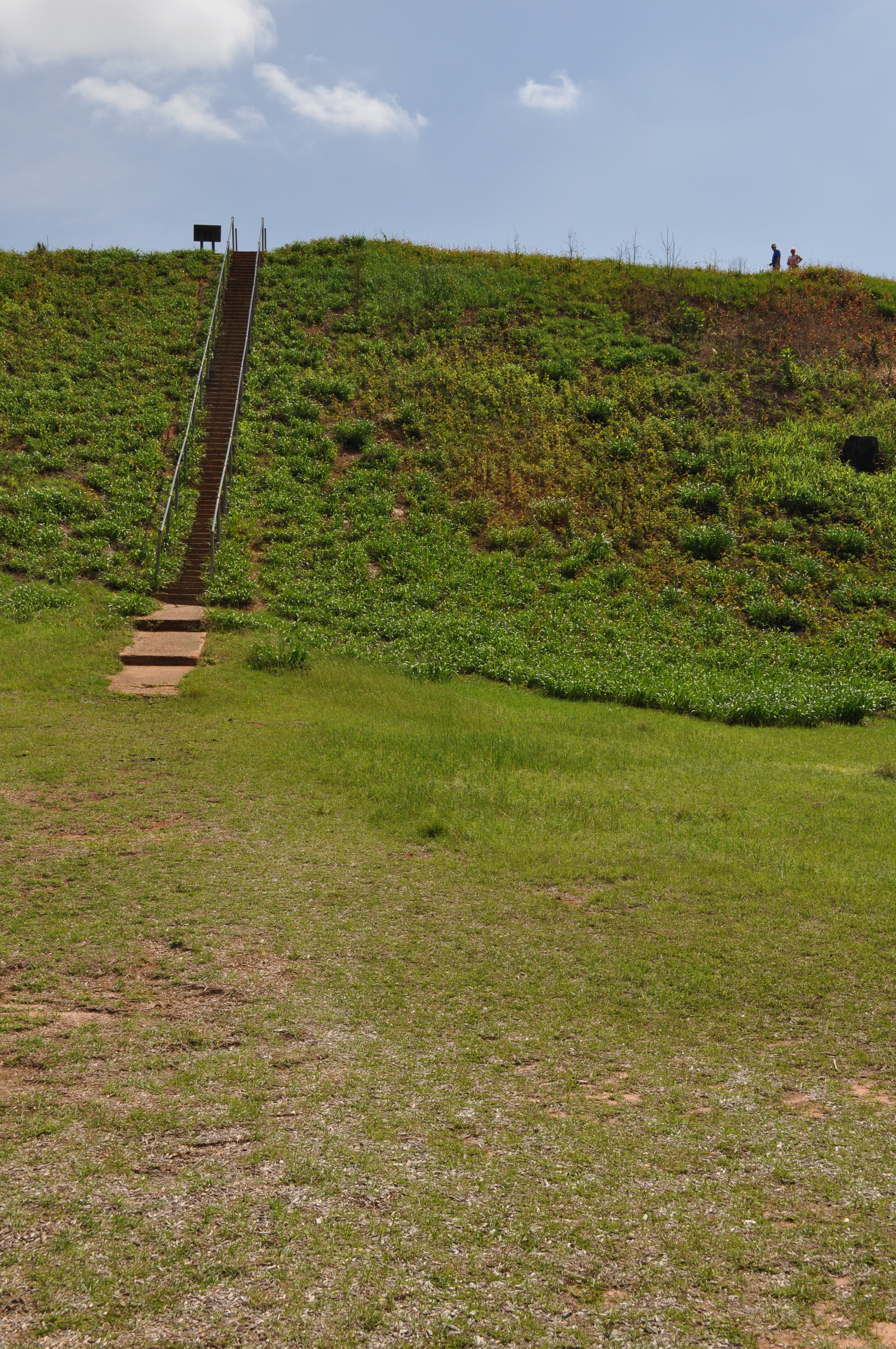
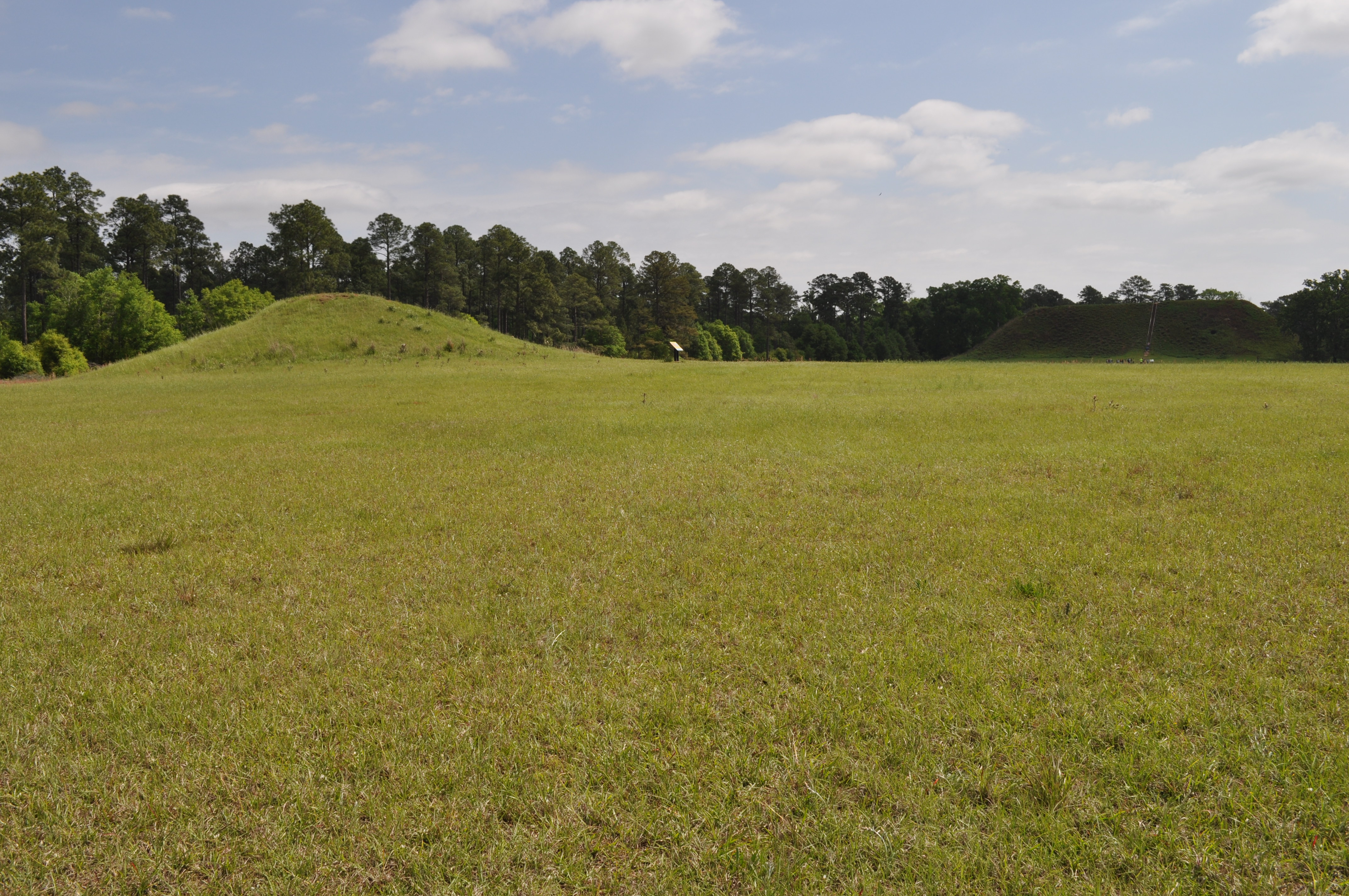
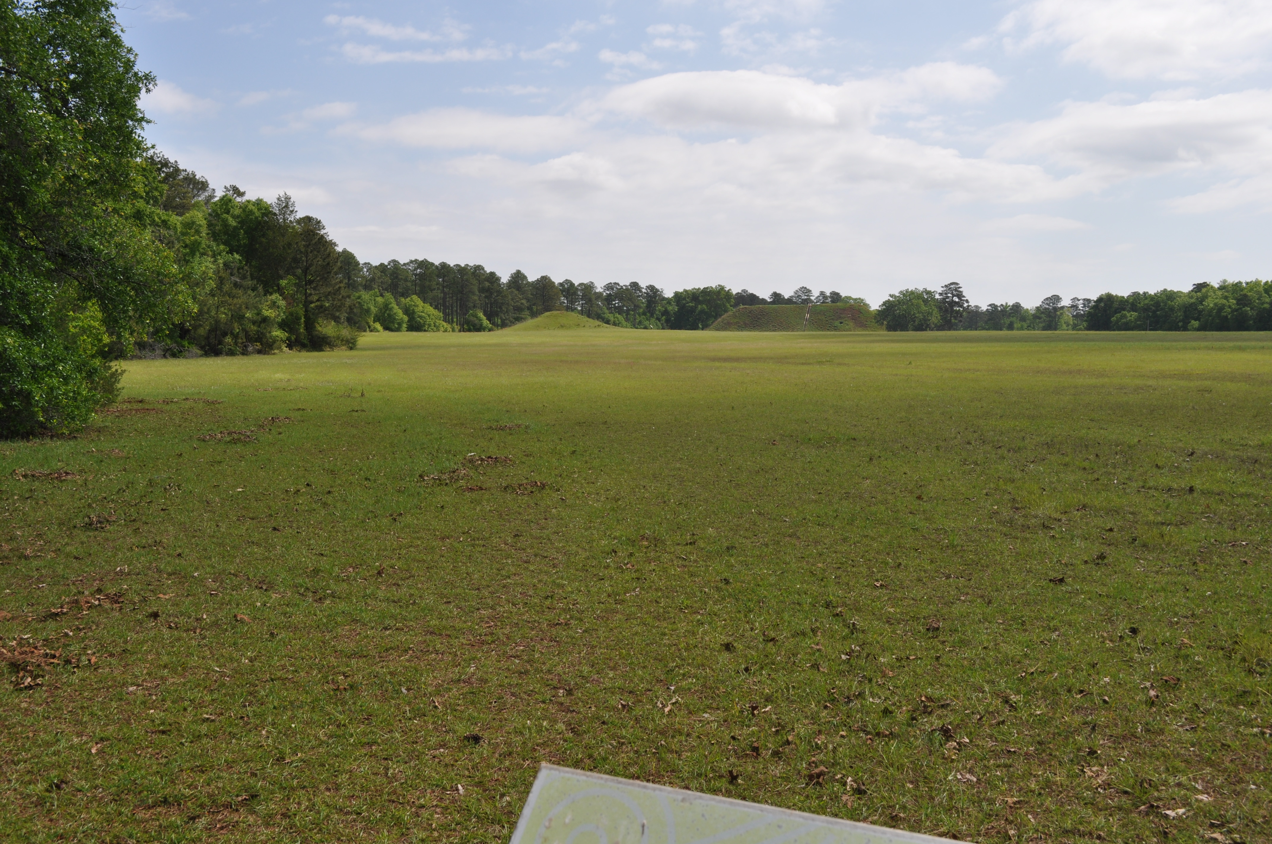
Kolomoki Mounds Historic Park, Georgia
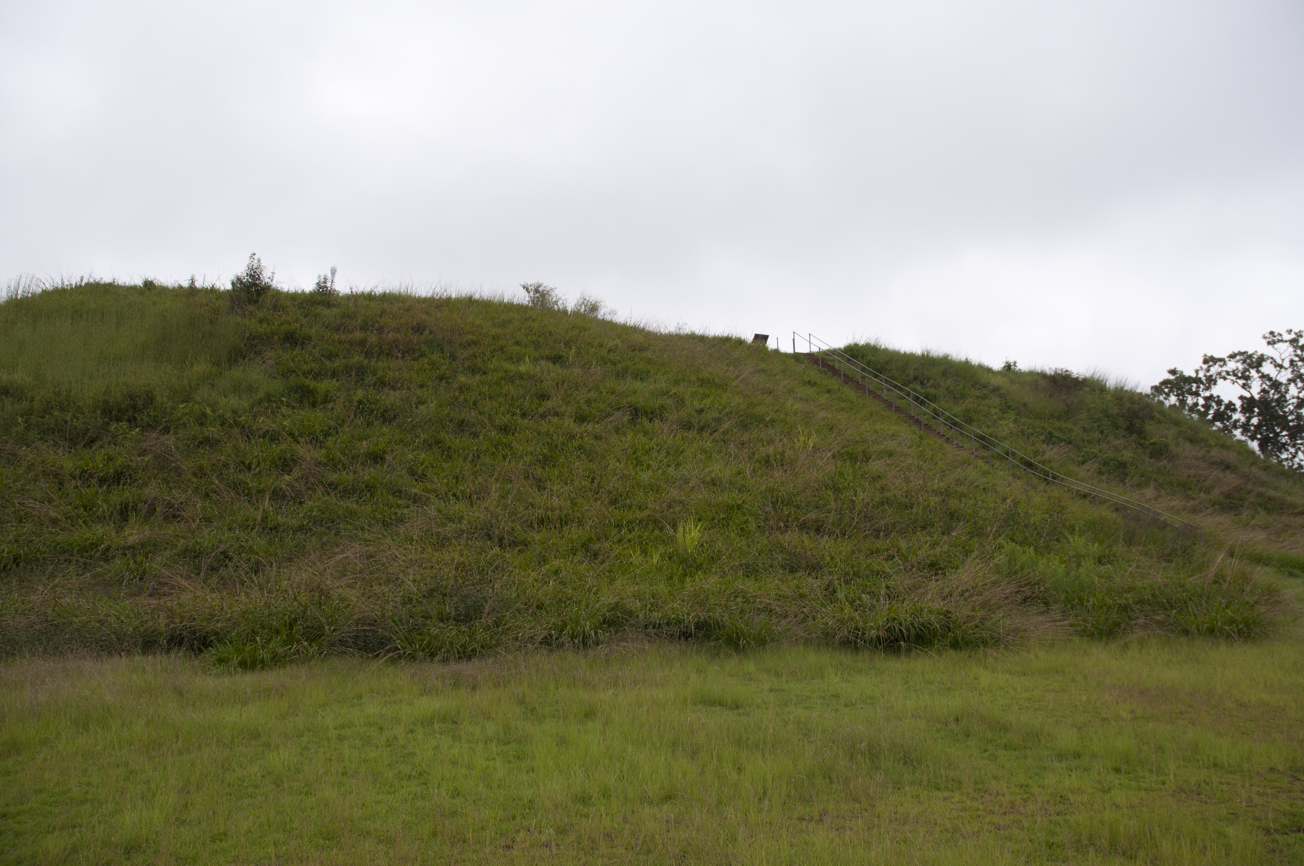
1822 Temple Mound view Img_8574

1819 Temple Mound Img_8571
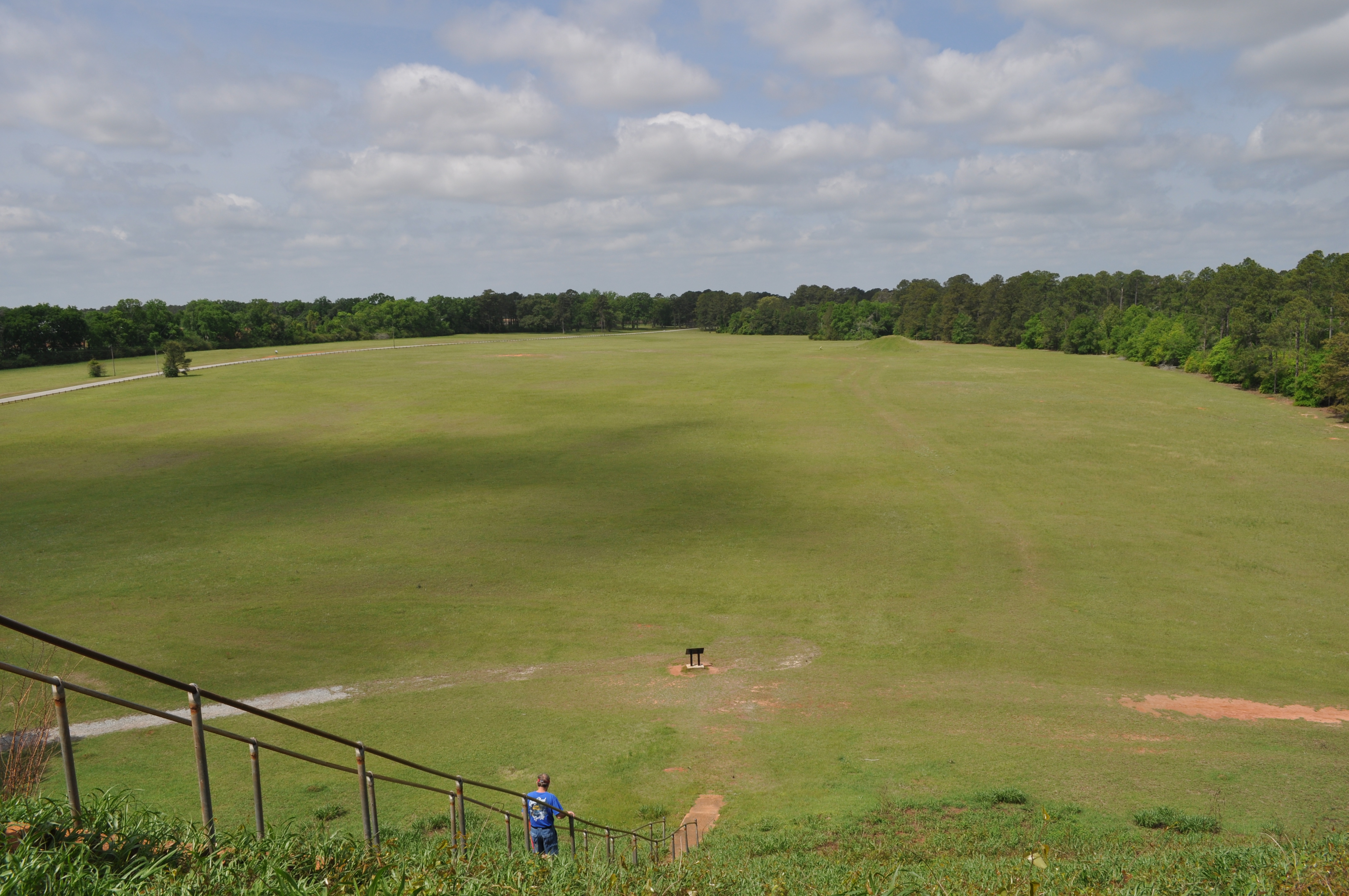
1820 Temple Mound Img_8572
1821 Temple Mound view Img_8573

Coheelee Creek Covered Bridge
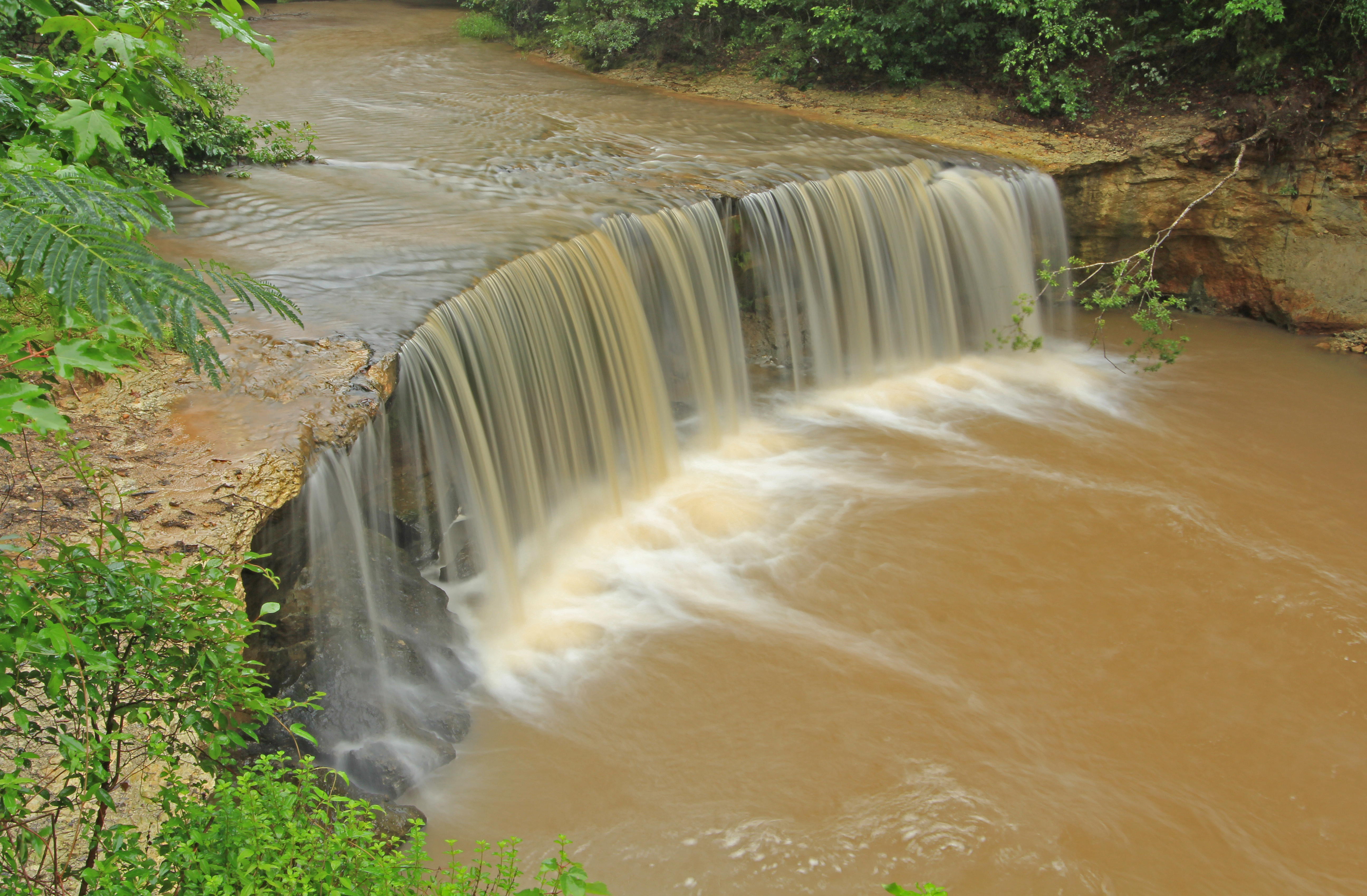
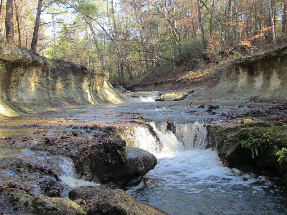
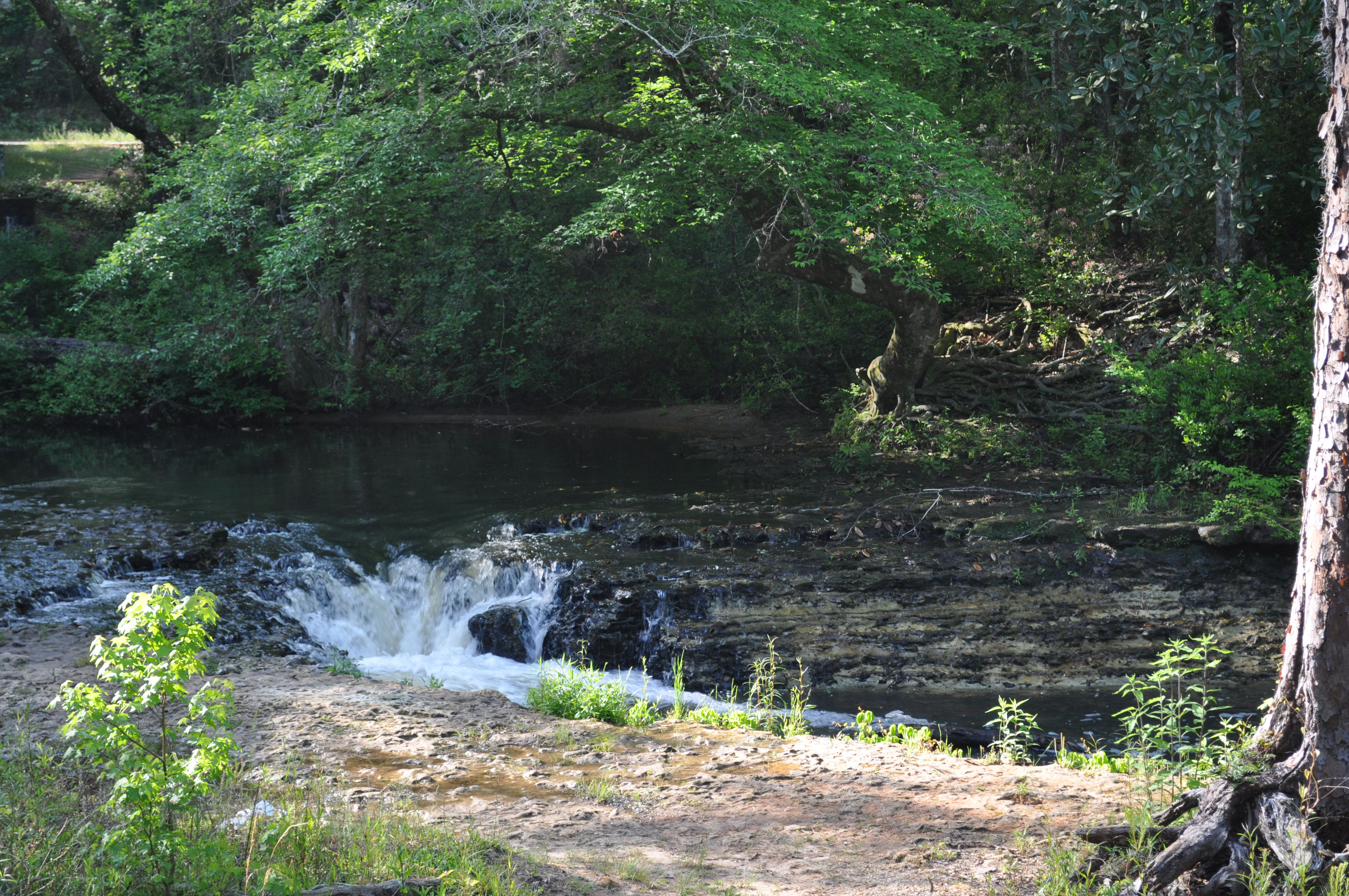
Factory Creek Falls, Factory Creek, Early County, Georgia 1
Coheelee Creek
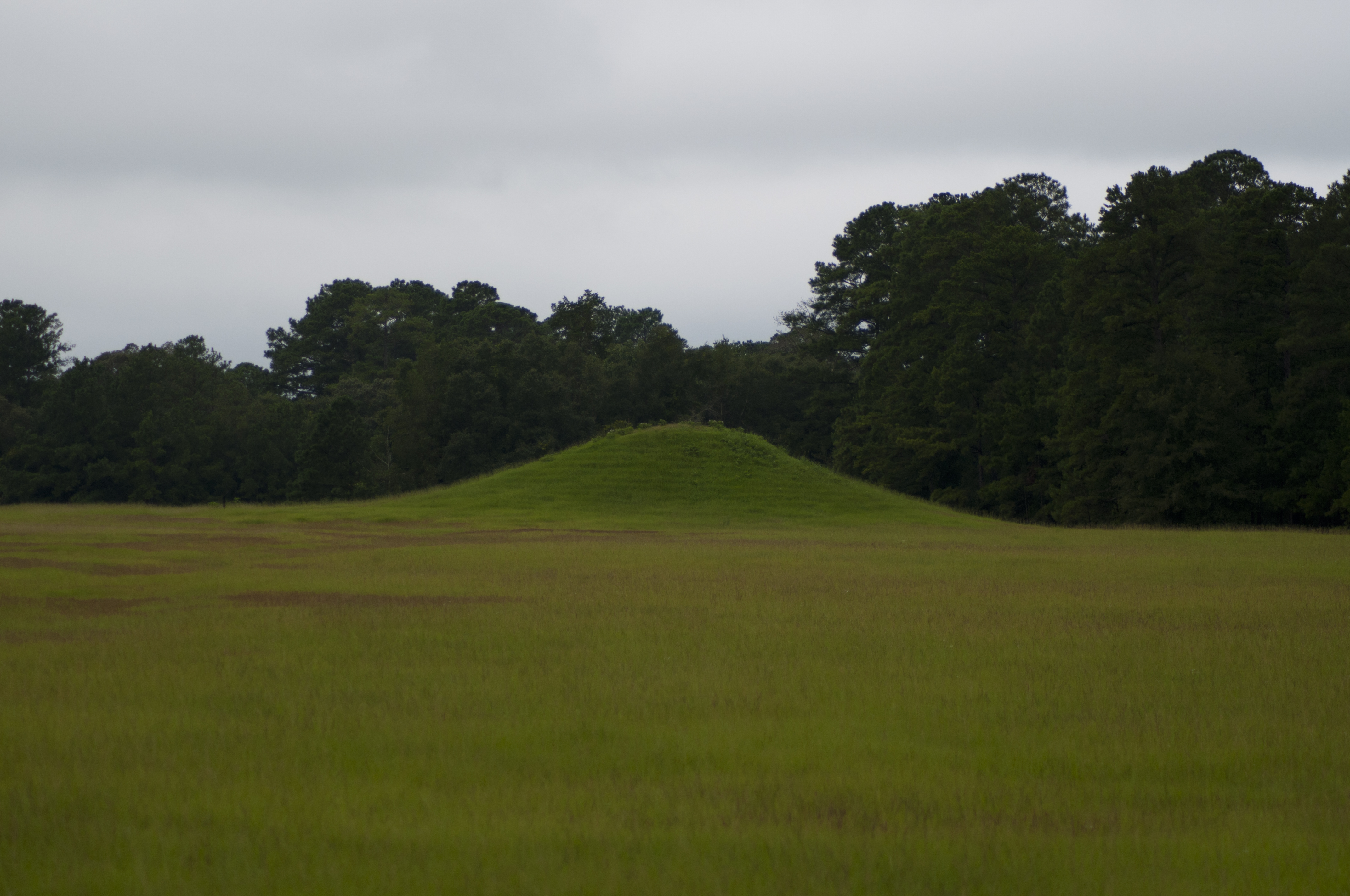
Kolomoki Mounds Historic Park, Georgia

Factory Falls
Kolomoki Mounds Historical Park, Georgia
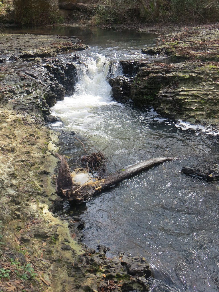
Coheelee Creek 1 Hilton GA

Bridge and waterfall
1789 Water falls Img_8541
1818 Temple Mound Img_8570
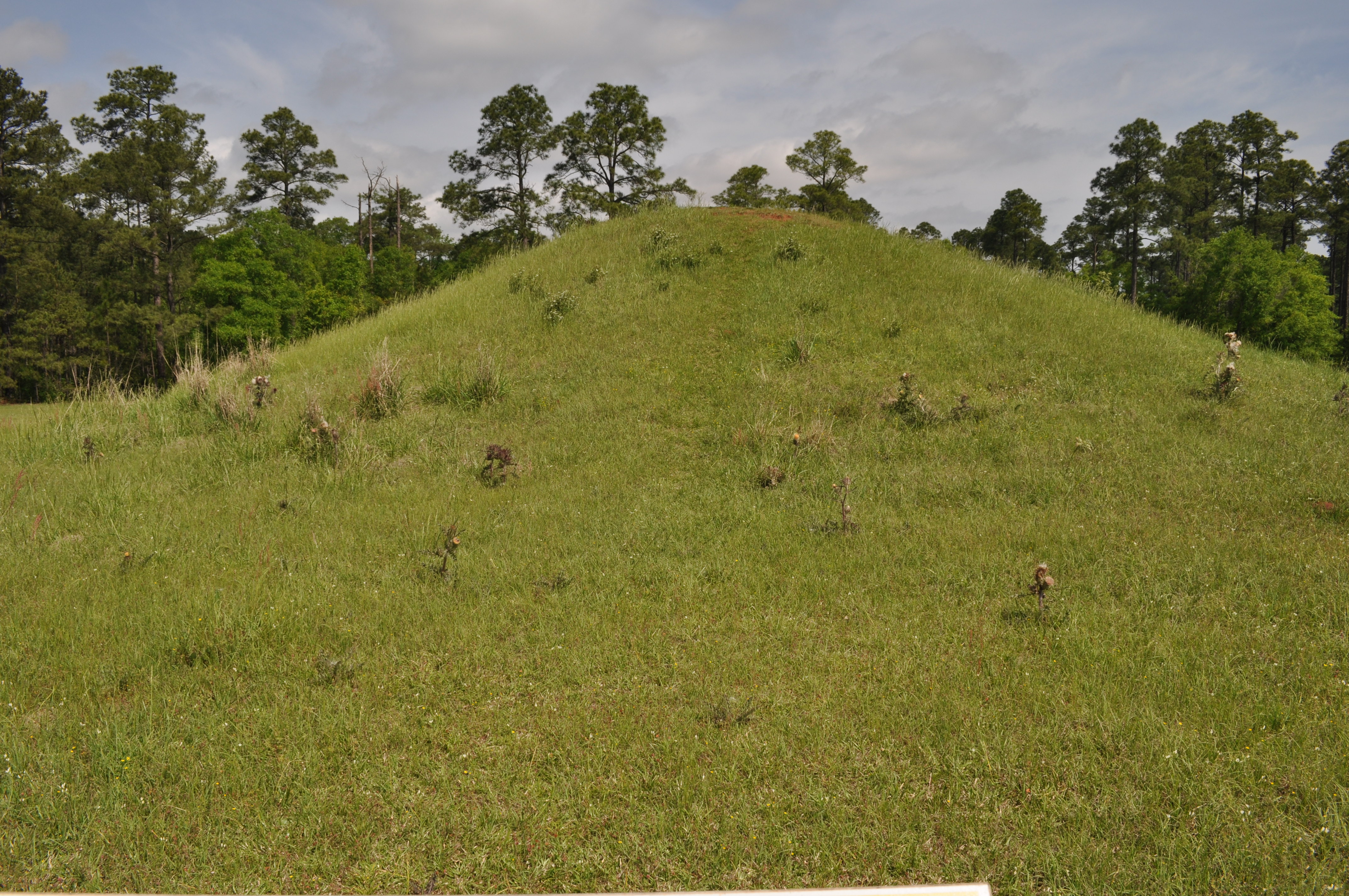
1815 Mound D Img_8567

1816 Temple Mound Img_8568
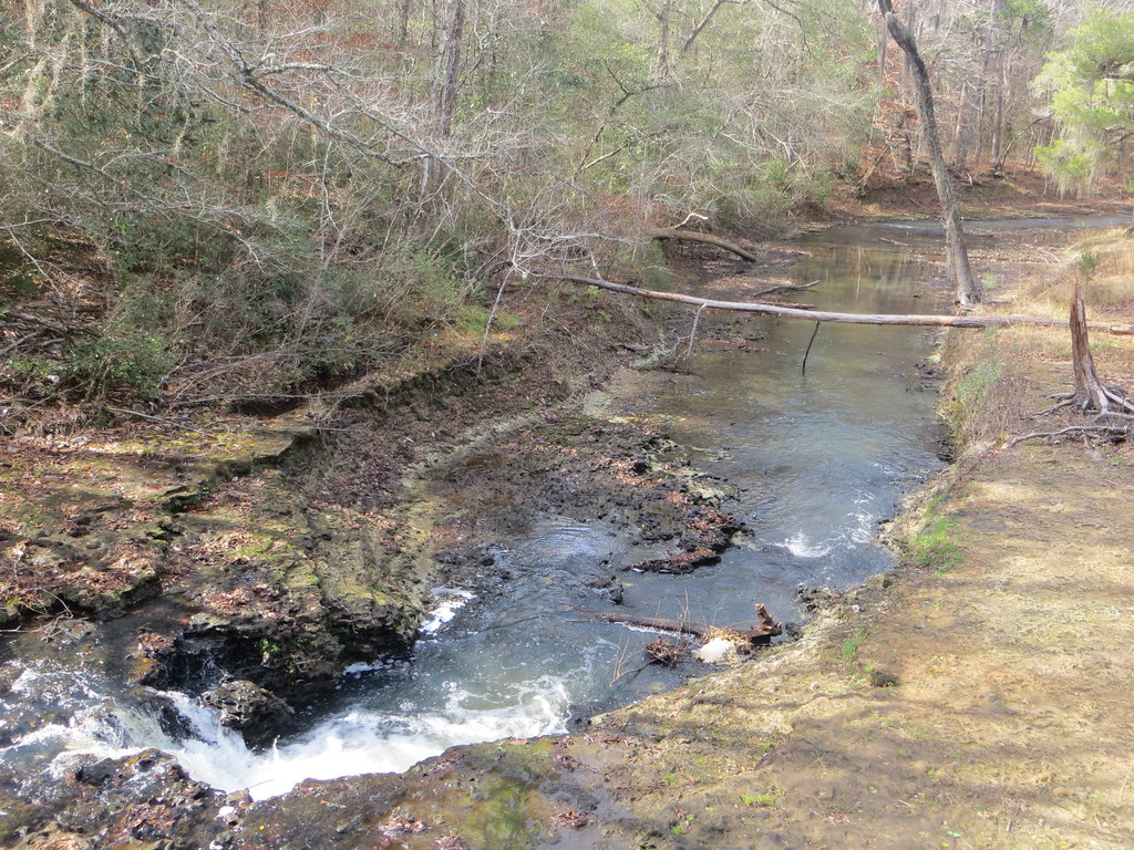
Coheelee Creek 2 Hilton GA
1813 Mound D Img_8565
1812 Conflict Img_8564
1829 Mound H Img_8581
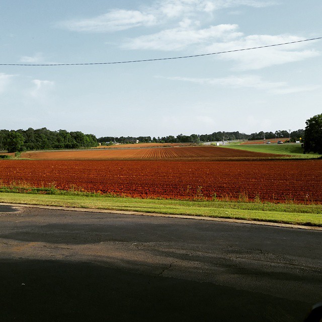
Good morning Southern Georgia!
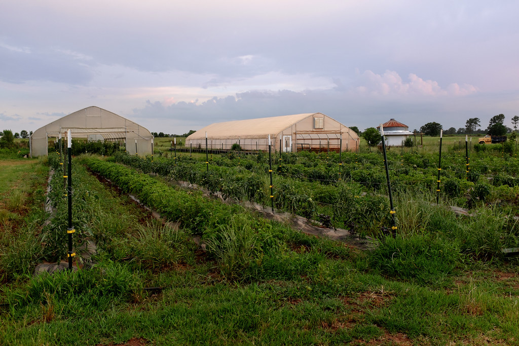
White Oak Pastures
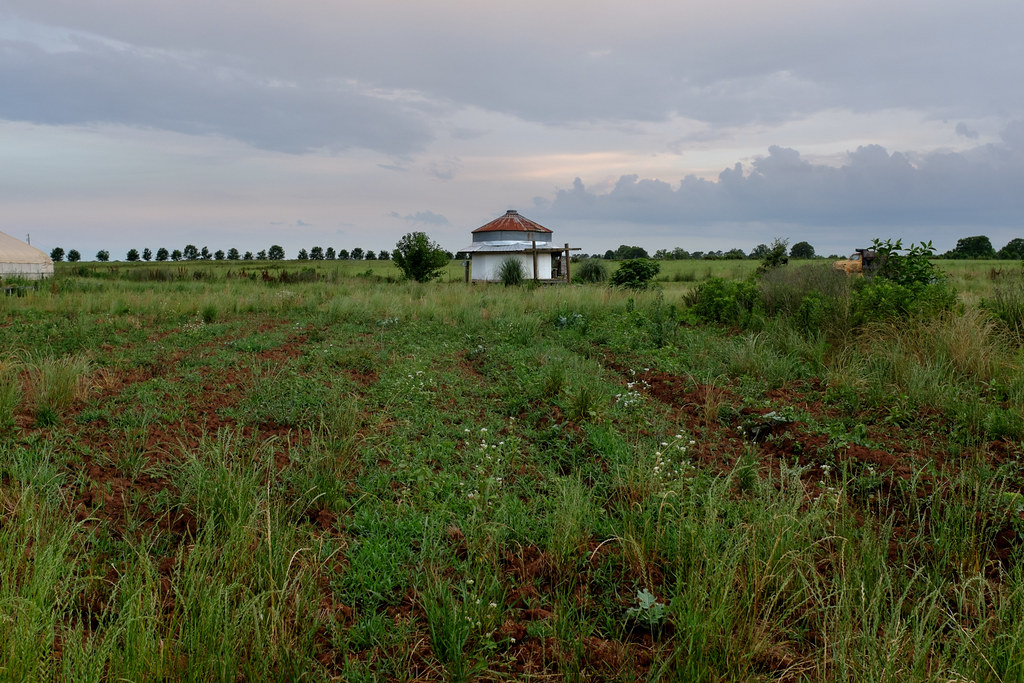
White Oak Pastures
Topographic Map of Blakely, GA, USA
Find elevation by address:

Places in Blakely, GA, USA:
Columbia Hwy, Blakely, GA, USA
Chattahoochee River
Old River Rd, Blakely, GA, USA
Cuba Road
Indian Mounds Road
Places near Blakely, GA, USA:
Early County
200 Sherman Rd
Columbia Hwy, Blakely, GA, USA
Indian Mounds Road
Cuba Road
Old River Rd, Blakely, GA, USA
Chattahoochee River
Arlington Road
Co Rd 47, Shorterville, AL, USA
Columbia
S Main St, Columbia, AL, USA
Arlington
Pioneer Rd, Arlington, GA, USA
Damascus
Brumby Ave, Damascus, GA, USA
Co Rd 65, Shorterville, AL, USA
AL-10, Shorterville, AL, USA
Shorterville
5090 Nicklesville Rd
College St, Fort Gaines, GA, USA
Recent Searches:
- Elevation of Hobbyhorse Ct, Dover, DE, USA
- Elevation of Horseshoe Ln, Dahlonega, GA, USA
- Elevation of Village Point Dr, Daphne, AL, USA
- Elevation map of Kabardino-Balkarian Republic, Russia
- Elevation of Tyrnyauz, Kabardino-Balkarian Republic, Russia
- Elevation of Sunset Dr, Hernando, MS, USA
- Elevation of Lake Rotoroa, Tasman, New Zealand
- Elevation of George St, New Bern, NC, USA
- Elevation of Cove Rd, Jasper, GA, USA
- Elevation of Cove Rd, Jasper, GA, USA