Elevation of Co Rd 47, Shorterville, AL, USA
Location: United States > Alabama > Henry County > Shorterville >
Longitude: -85.072987
Latitude: 31.503721
Elevation: 68m / 223feet
Barometric Pressure: 101KPa
Elevation Map:
Satellite Map:
Related Photos:
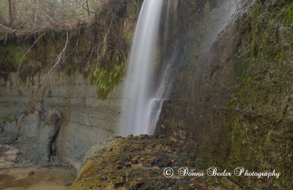
Hidden Falls, outside Haleburg Alabama
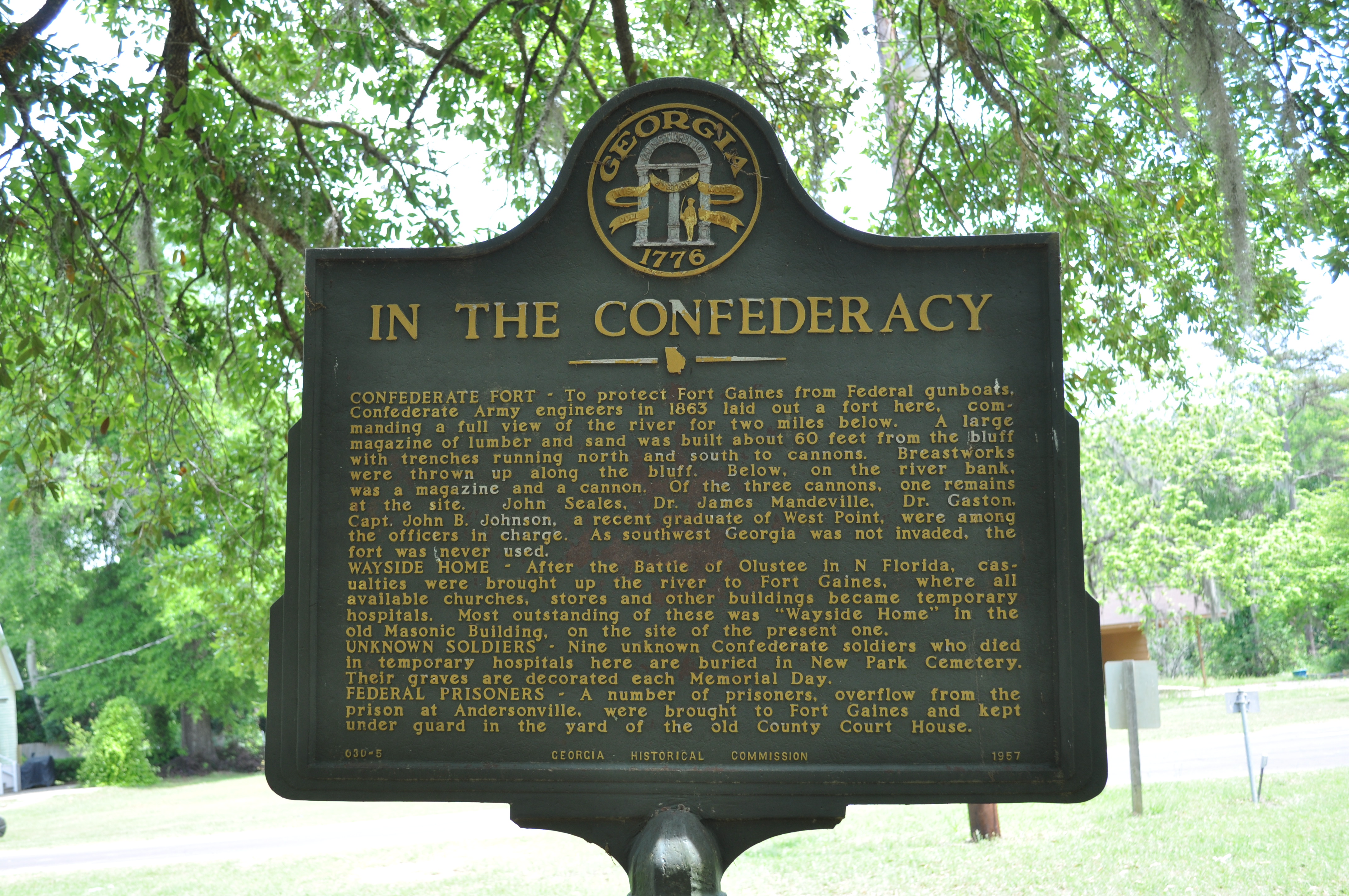
1856 Confederacy Img_8611
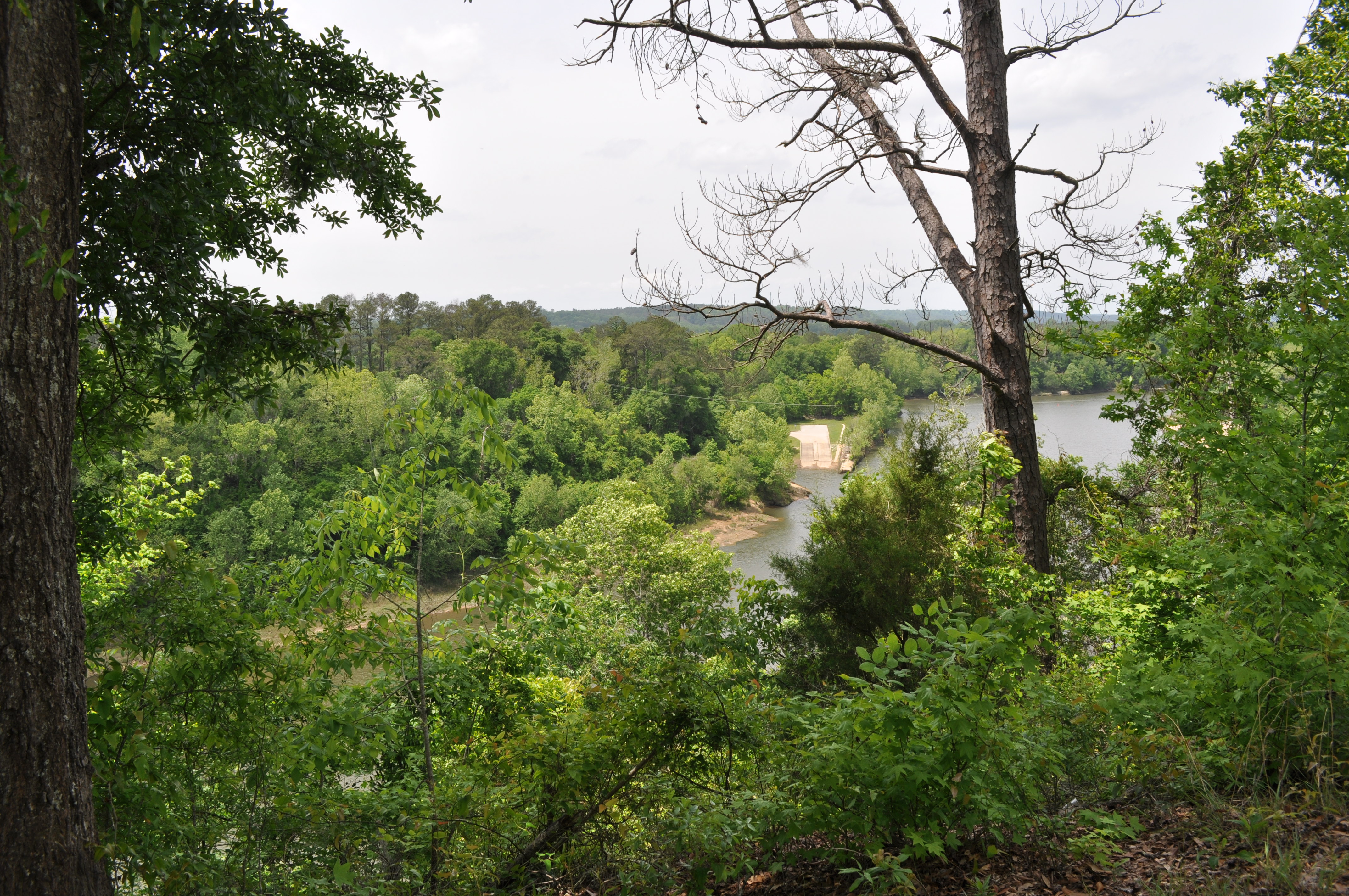
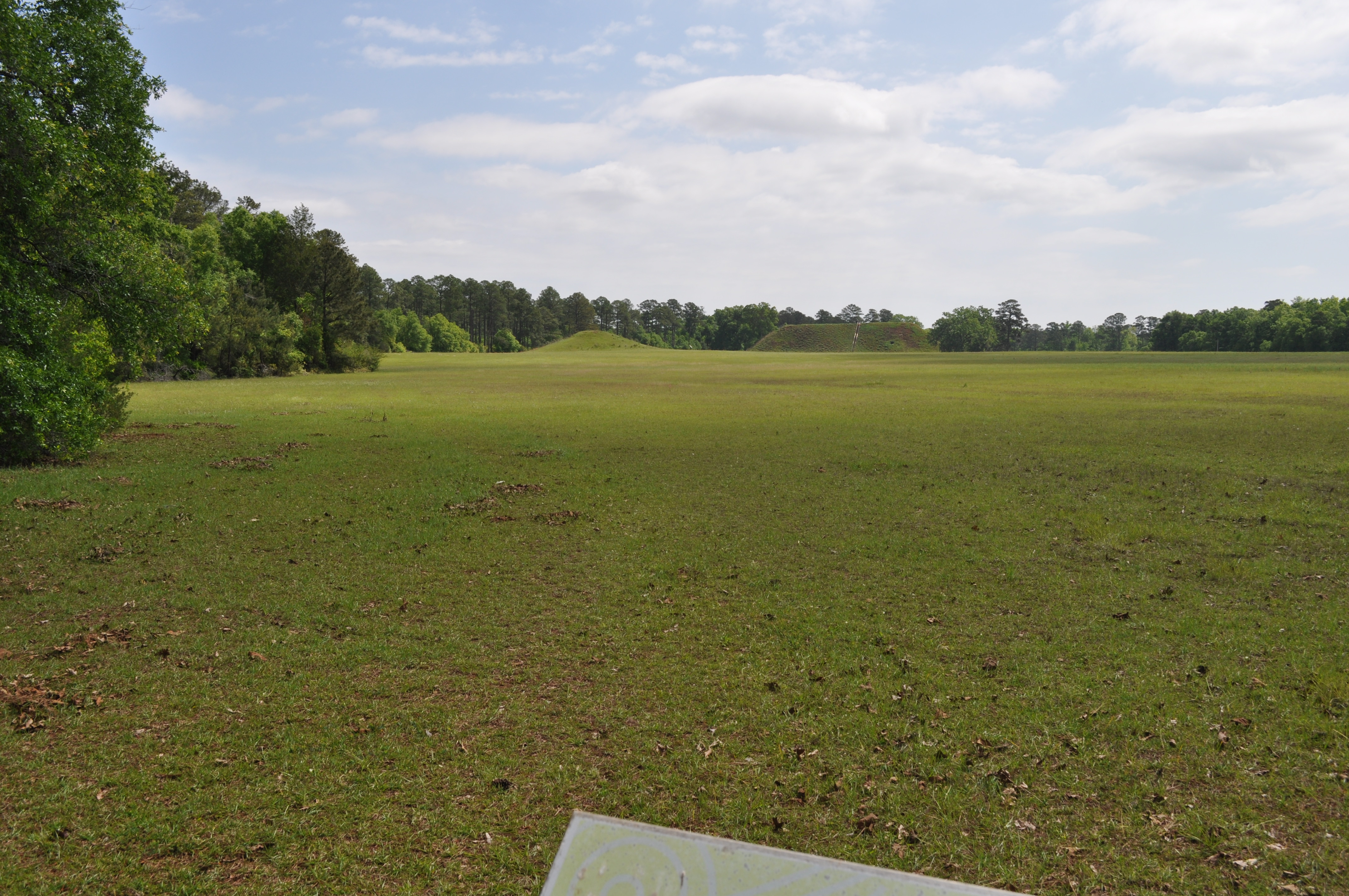
1852 Fort view Img_8607
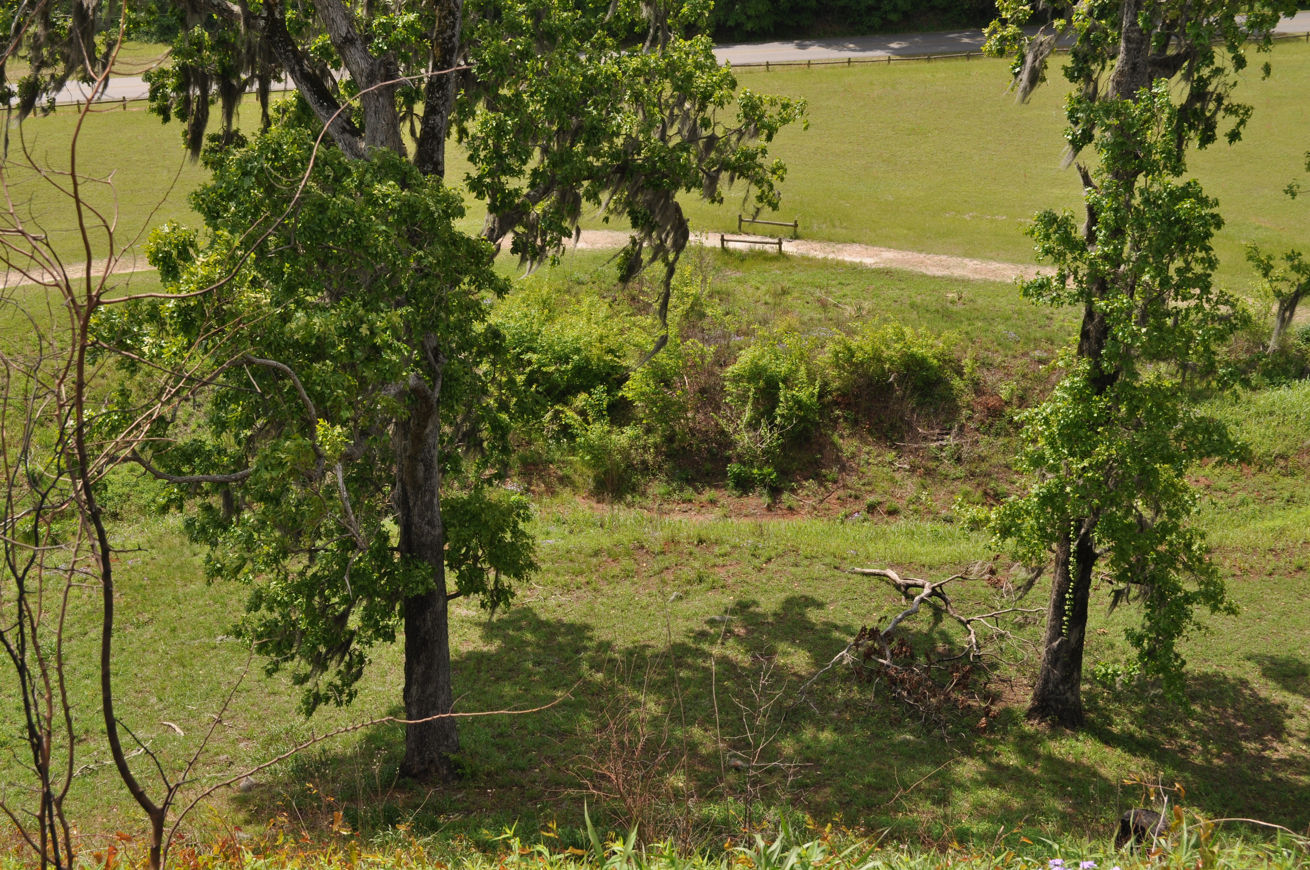
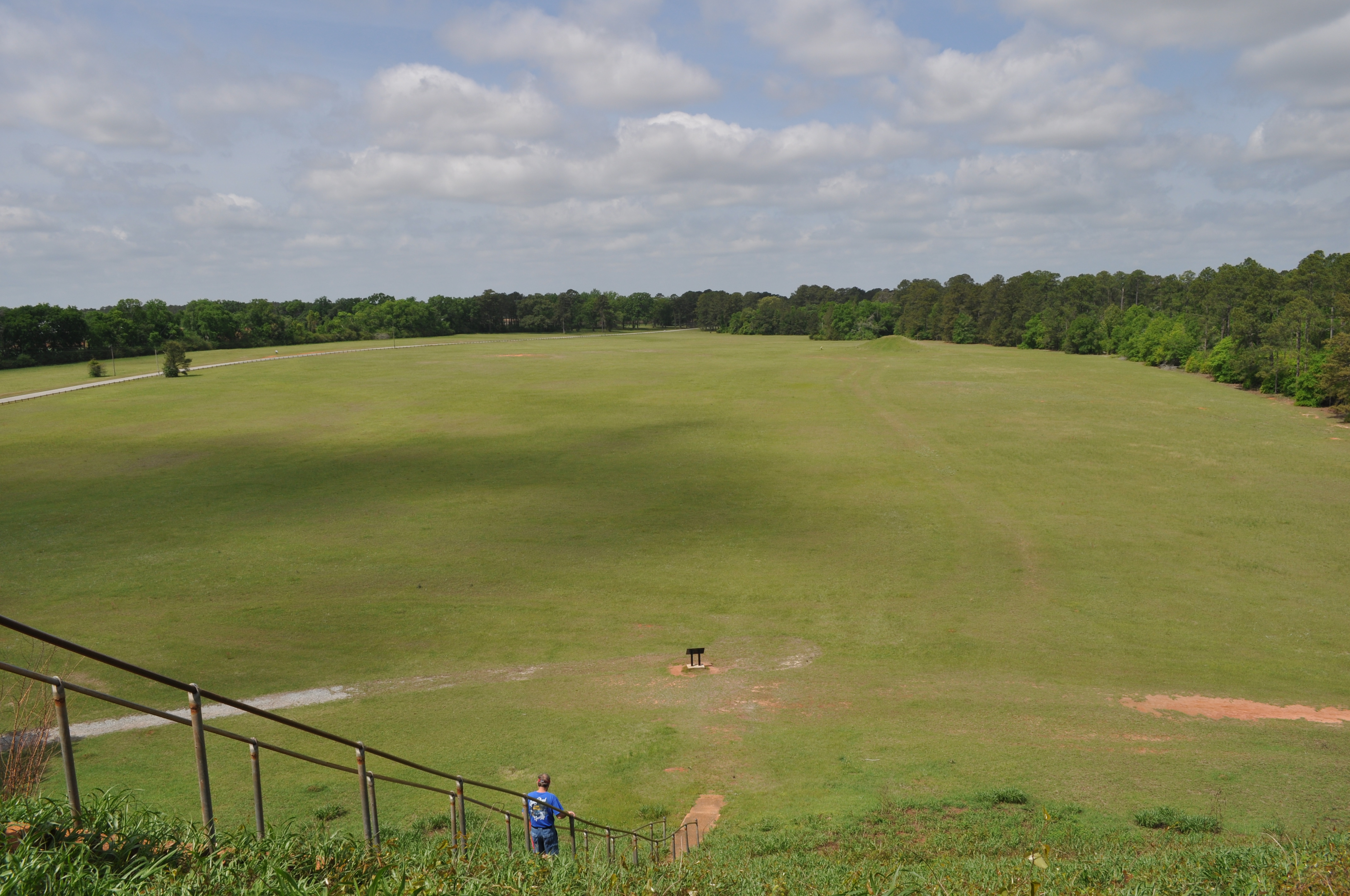
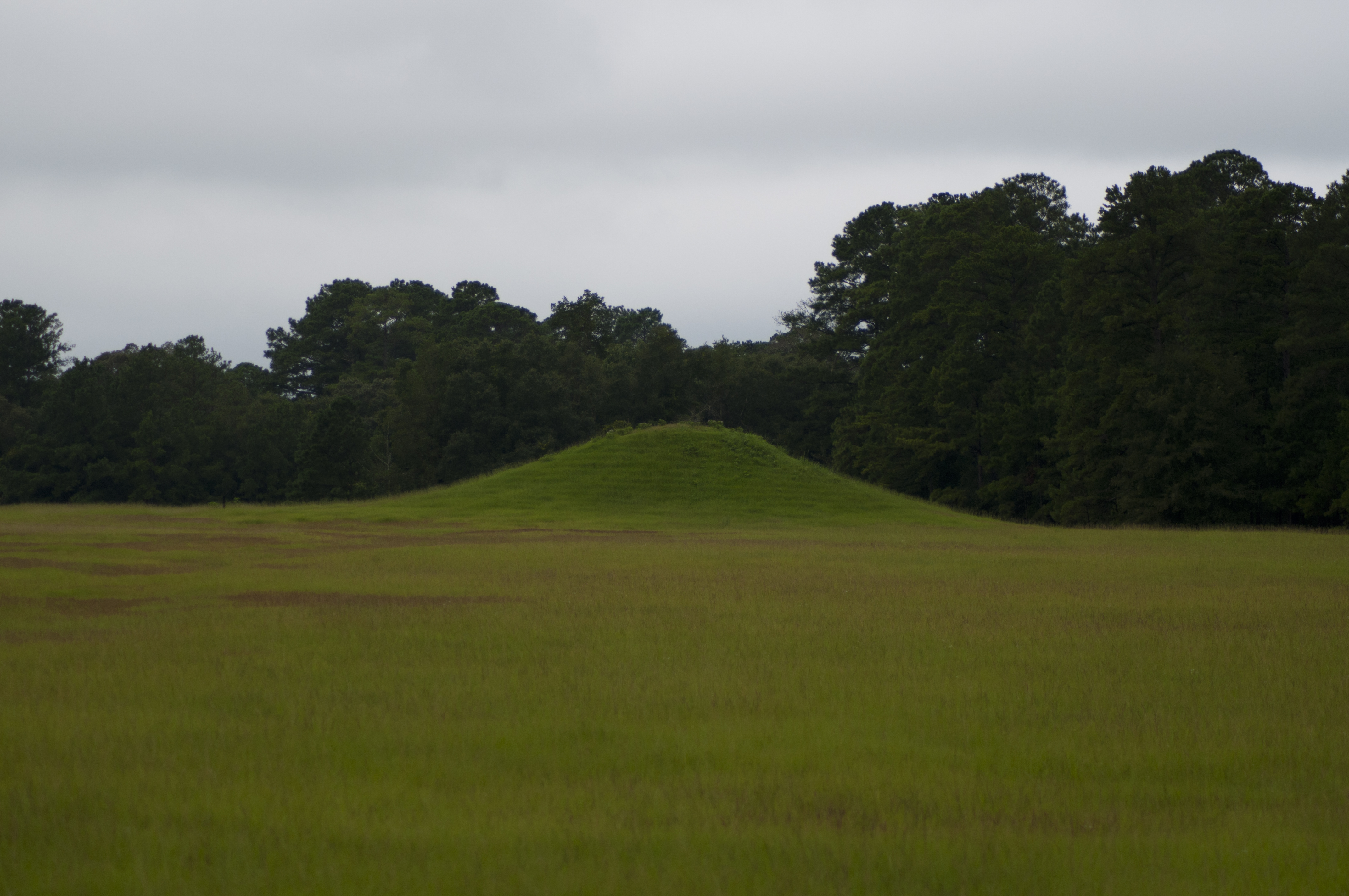
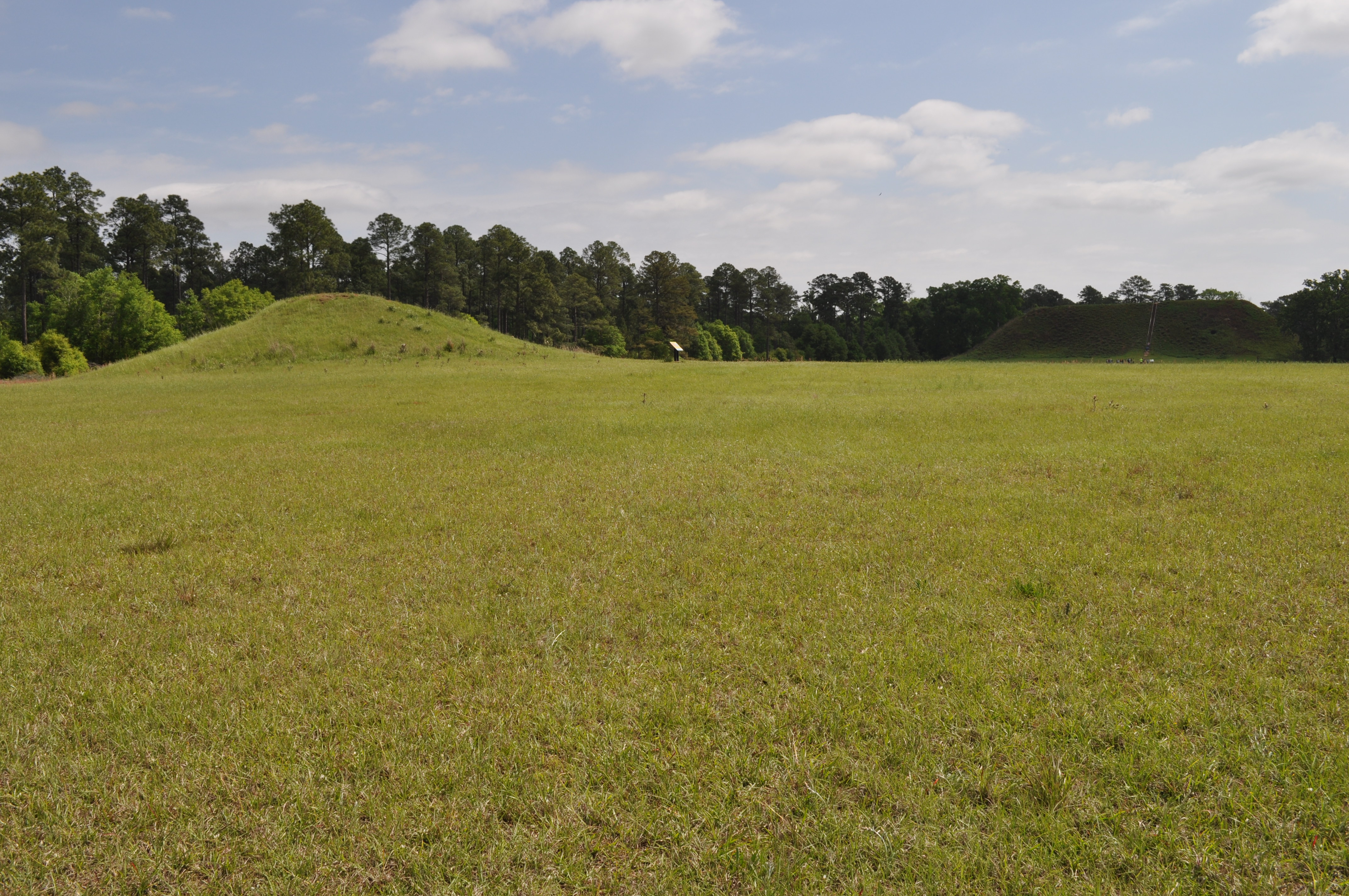
1822 Temple Mound view Img_8574

Kolomoki Mounds Historic Park, Georgia

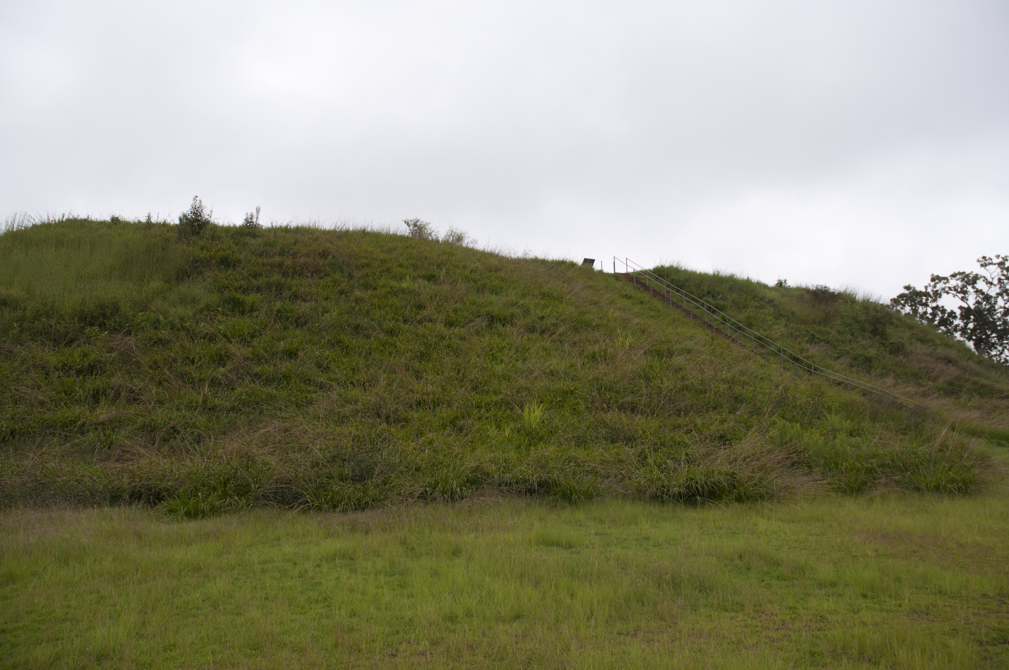
1819 Temple Mound Img_8571
1820 Temple Mound Img_8572
1821 Temple Mound view Img_8573
Lots of color
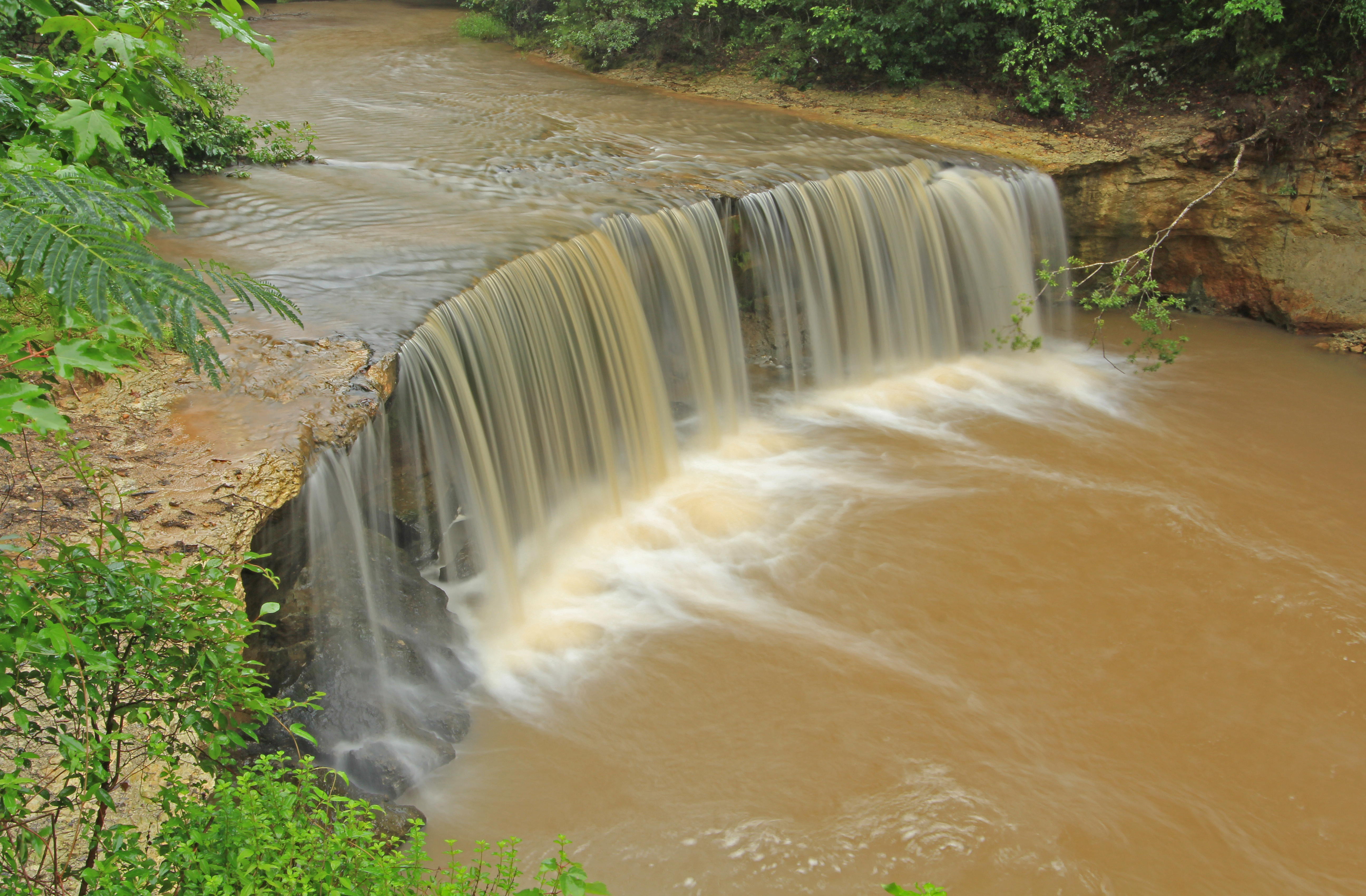
Factory Creek Falls, Factory Creek, Early County, Georgia 1
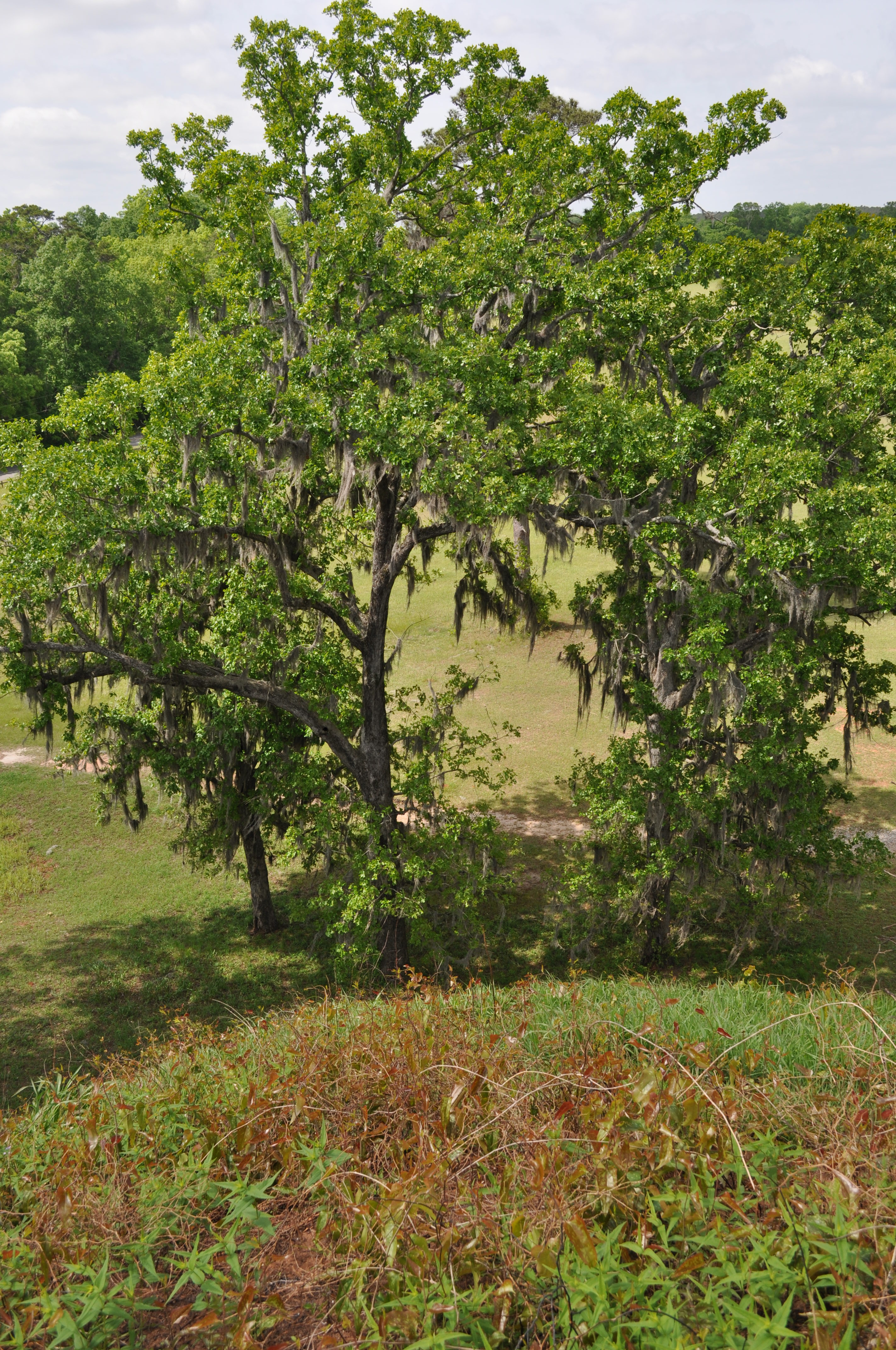
Kolomoki Mounds Historic Park, Georgia

Factory Falls
Kolomoki Mounds Historical Park, Georgia
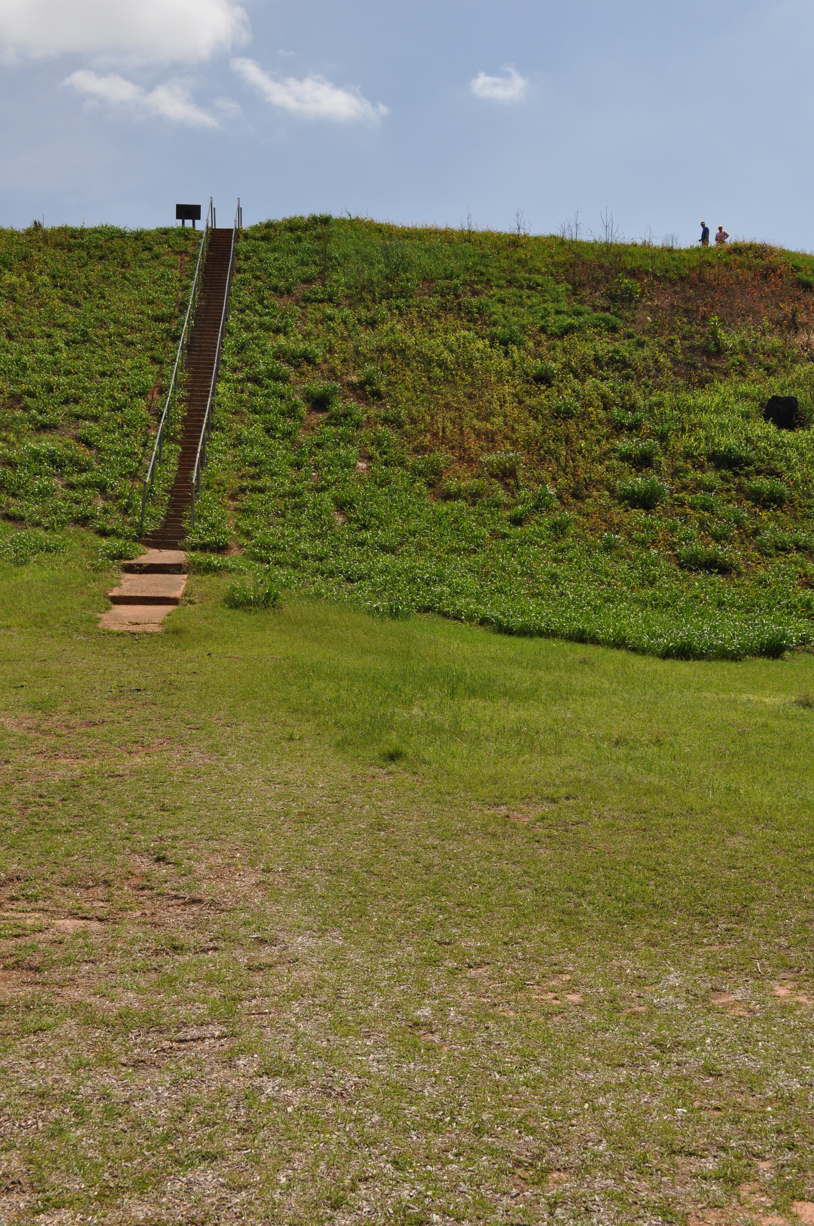
1818 Temple Mound Img_8570
1815 Mound D Img_8567

1816 Temple Mound Img_8568
1813 Mound D Img_8565
1812 Conflict Img_8564
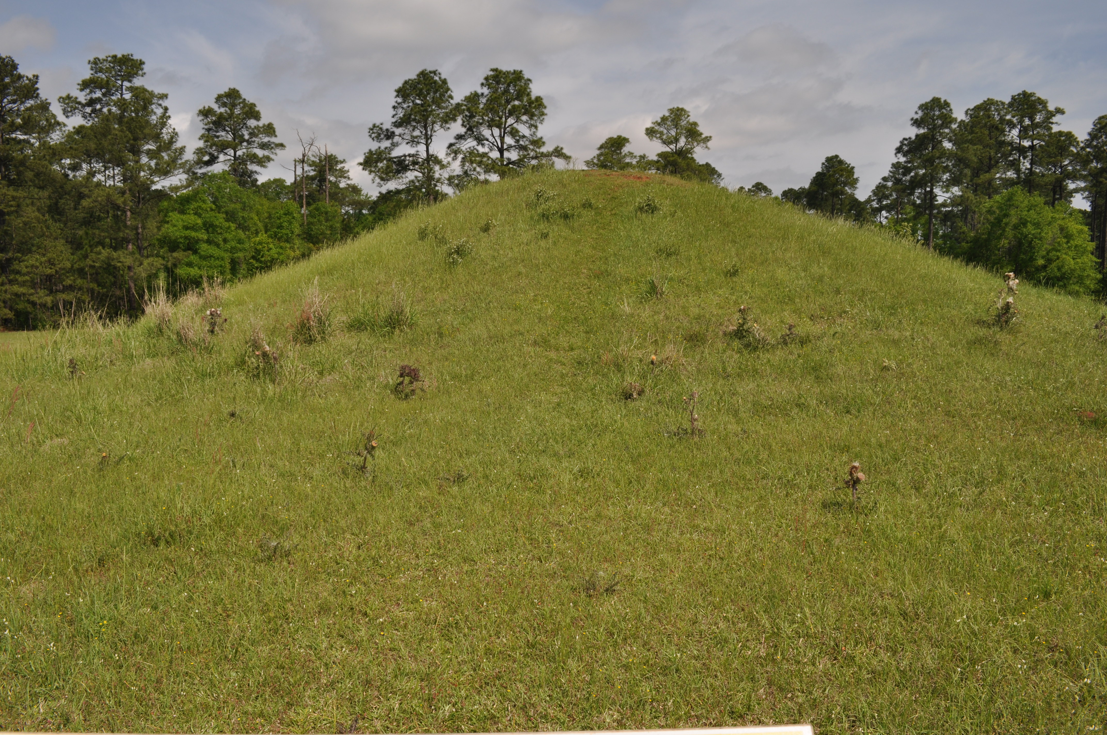
1829 Mound H Img_8581

Kolomoki Mounds SP Early Co GA

Temple Mound Kolomoki Mounds SP

Mound C Kolomoki Mounds SP
Topographic Map of Co Rd 47, Shorterville, AL, USA
Find elevation by address:

Places near Co Rd 47, Shorterville, AL, USA:
AL-10, Shorterville, AL, USA
Shorterville
Co Rd 65, Shorterville, AL, USA
Fort Gaines
College St, Fort Gaines, GA, USA
AL-10, Abbeville, AL, USA
11073 Co Rd 65
Henry County
Indian Mounds Road
Hardridge Creek (recgovnpsdata)
403 Bennett Dr
427 Eufaula Rd
Old River Rd, Blakely, GA, USA
Clay County
Coleman Rd, Fort Gaines, GA, USA
Co Rd 26, Headland, AL, USA
Blakely
Columbia Hwy, Blakely, GA, USA
Abbeville
197 Brannon Dr
Recent Searches:
- Elevation of 6 Rue Jules Ferry, Beausoleil, France
- Elevation of Sattva Horizon, 4JC6+G9P, Vinayak Nagar, Kattigenahalli, Bengaluru, Karnataka, India
- Elevation of Great Brook Sports, Gold Star Hwy, Groton, CT, USA
- Elevation of 10 Mountain Laurels Dr, Nashua, NH, USA
- Elevation of 16 Gilboa Ln, Nashua, NH, USA
- Elevation of Laurel Rd, Townsend, TN, USA
- Elevation of 3 Nestling Wood Dr, Long Valley, NJ, USA
- Elevation of Ilungu, Tanzania
- Elevation of Yellow Springs Road, Yellow Springs Rd, Chester Springs, PA, USA
- Elevation of Rēzekne Municipality, Latvia