Elevation of Co Rd 26, Headland, AL, USA
Location: United States > Alabama > Henry County >
Longitude: -85.227836
Latitude: 31.41783
Elevation: 117m / 384feet
Barometric Pressure: 100KPa
Elevation Map:
Satellite Map:
Related Photos:
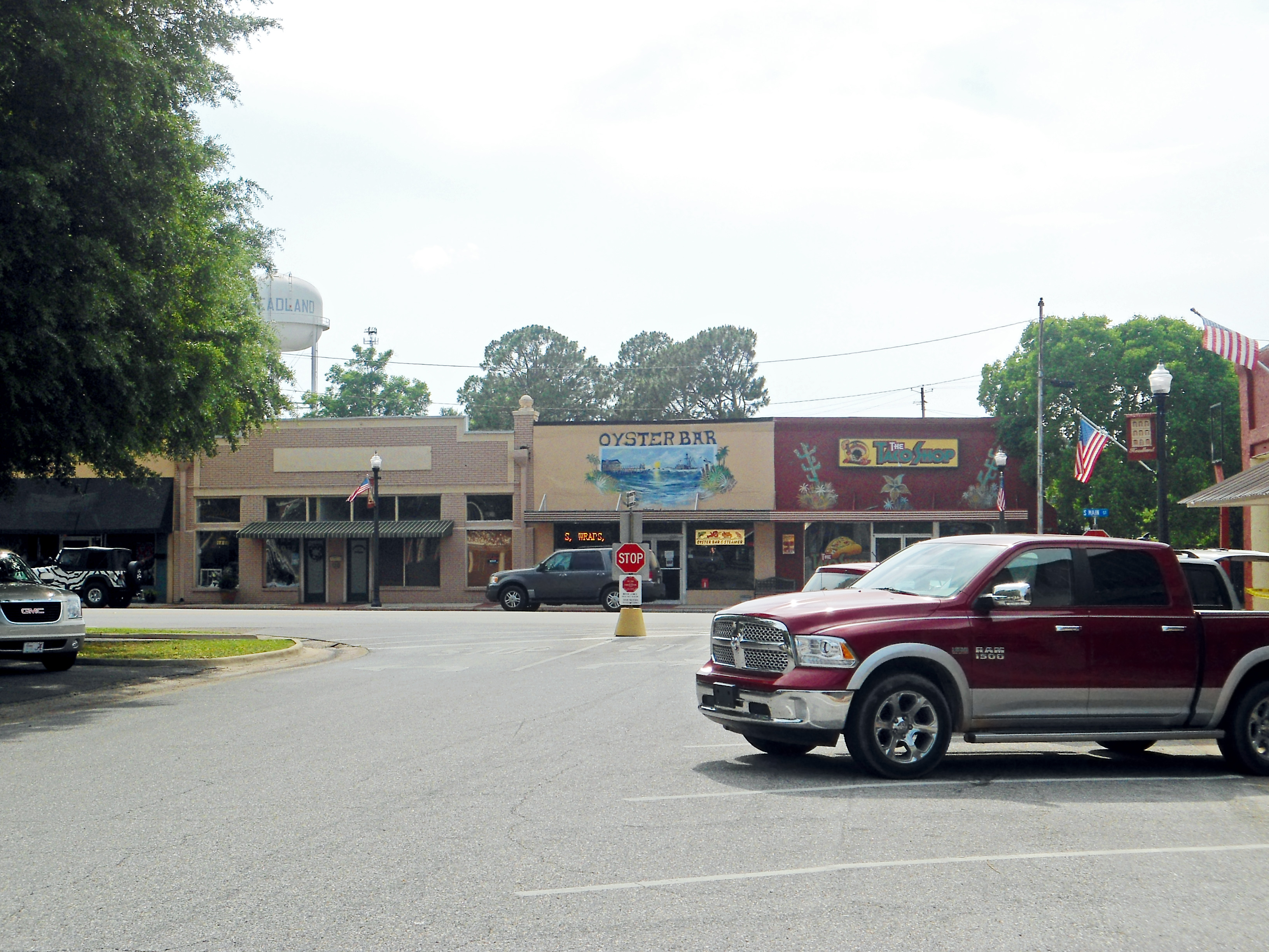
Downtown, Headland, Alabama
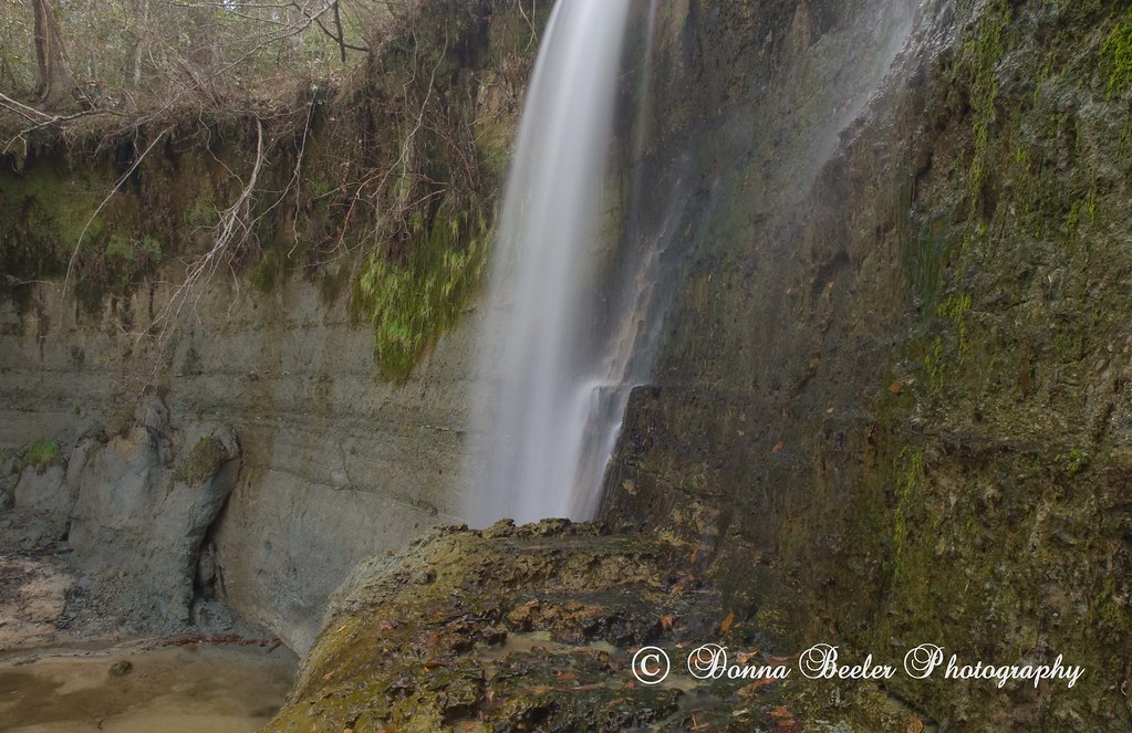
Hidden Falls, outside Haleburg Alabama
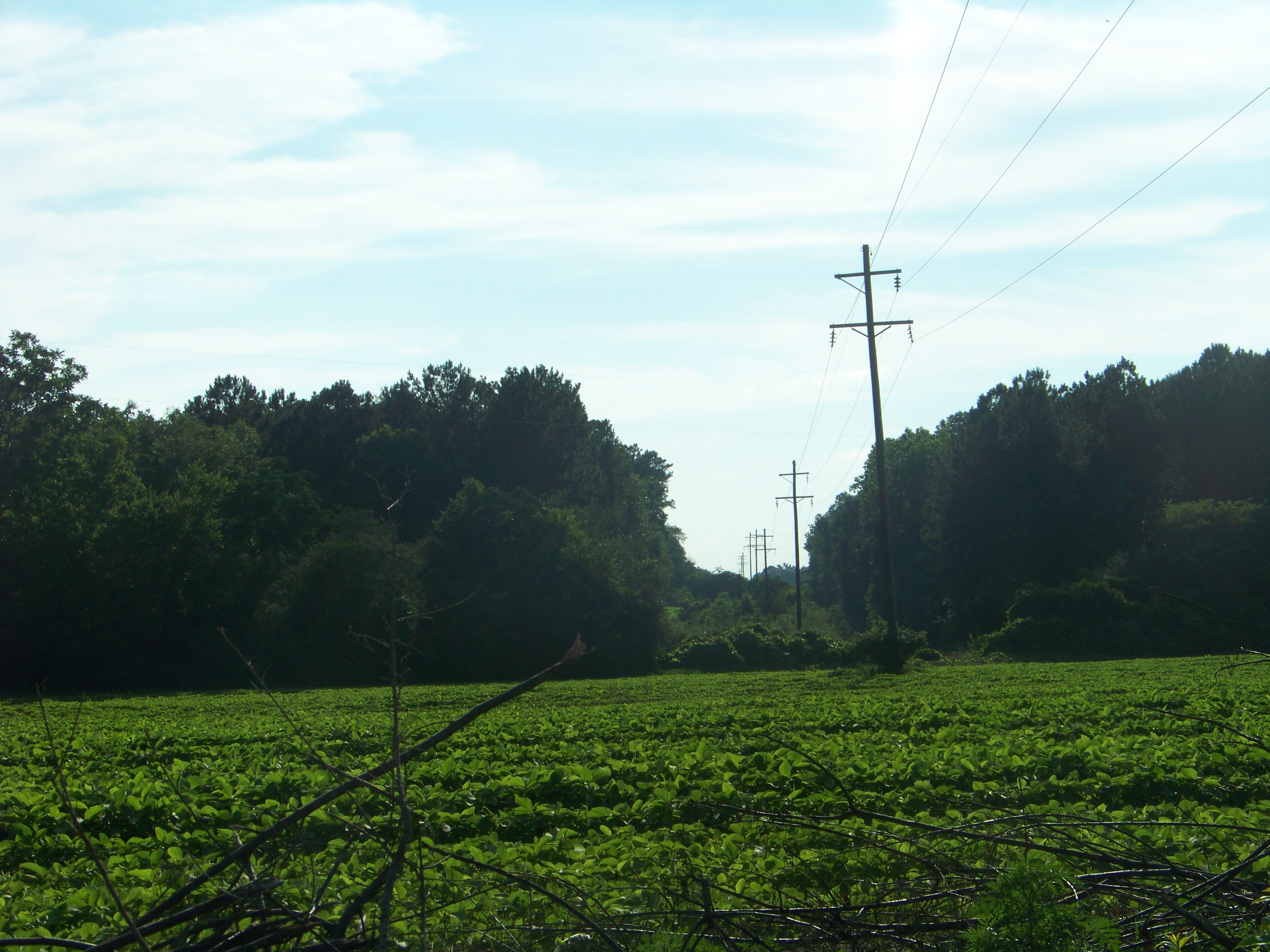
Rural Alabama Powerline..........

Senator Shelby visiting Red Star Yeast Company in Henry County.
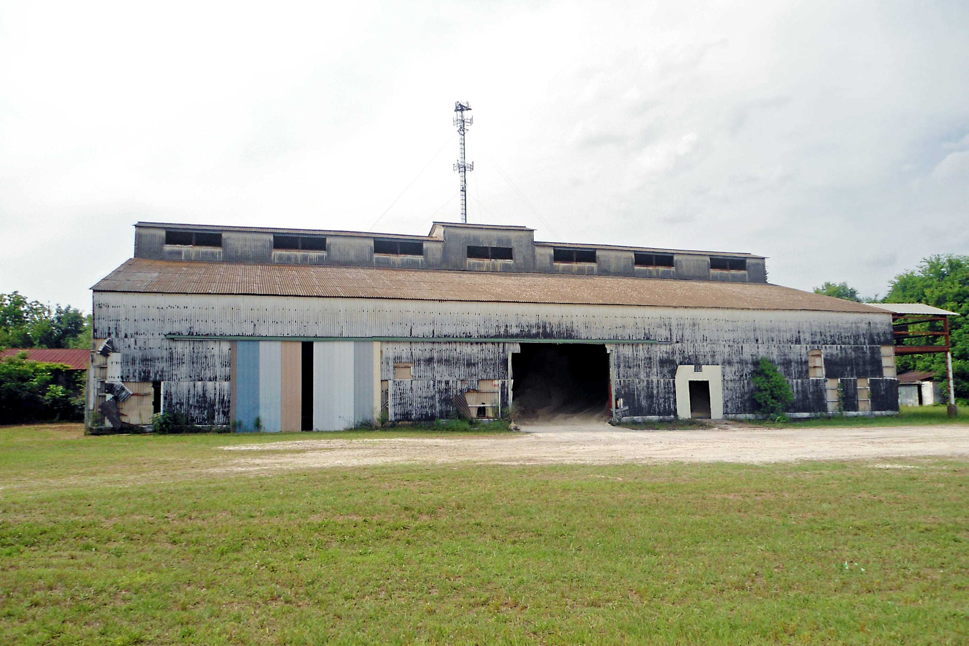
Industrial Building, Headland, Alabama

Williams, AL, unincorporated.

Senator Shelby visiting Red Star Yeast Company in Henry County.

Sunset in Headland

#goodtimes #goodsigns #headlandhighschool #bandroom #alabama

Poster | Alabama

Hidden Falls, outside Haleburg Alabama
Topographic Map of Co Rd 26, Headland, AL, USA
Find elevation by address:

Places near Co Rd 26, Headland, AL, USA:
Henry County
11073 Co Rd 65
AL-, Columbia, AL, USA
Co Rd 45, Headland, AL, USA
397 Co Rd 122
N Railroad St, Newville, AL, USA
Newville
Co Rd 65, Shorterville, AL, USA
Houston County 22, Ashford, AL, USA
Co Rd 32, Abbeville, AL, USA
J D Love Road
307 Peachtree St
Headland
Benton Store Rd, Ashford, AL, USA
AL-10, Abbeville, AL, USA
Abbeville
214 W Washington St
AL-52, Webb, AL, USA
Webb
Columbia
Recent Searches:
- Elevation of Corso Fratelli Cairoli, 35, Macerata MC, Italy
- Elevation of Tallevast Rd, Sarasota, FL, USA
- Elevation of 4th St E, Sonoma, CA, USA
- Elevation of Black Hollow Rd, Pennsdale, PA, USA
- Elevation of Oakland Ave, Williamsport, PA, USA
- Elevation of Pedrógão Grande, Portugal
- Elevation of Klee Dr, Martinsburg, WV, USA
- Elevation of Via Roma, Pieranica CR, Italy
- Elevation of Tavkvetili Mountain, Georgia
- Elevation of Hartfords Bluff Cir, Mt Pleasant, SC, USA