Elevation of Earlwood Rd, Vinegar Bend, AL, USA
Location: United States > Alabama > Washington County > Vinegar Bend >
Longitude: -88.349312
Latitude: 31.2058104
Elevation: 63m / 207feet
Barometric Pressure: 101KPa
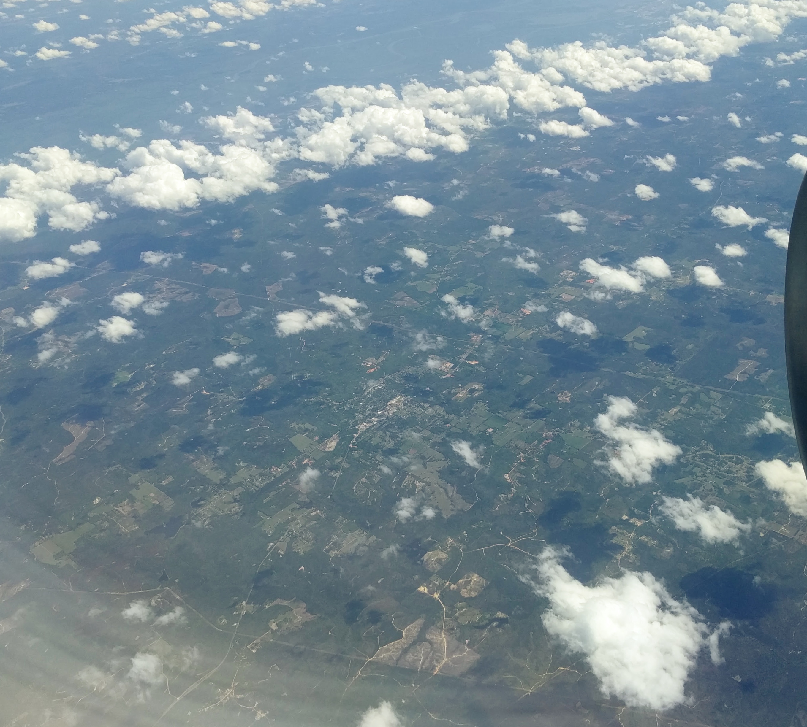
Elevation Map:
Satellite Map:
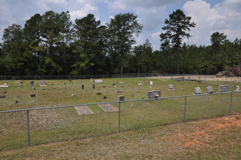
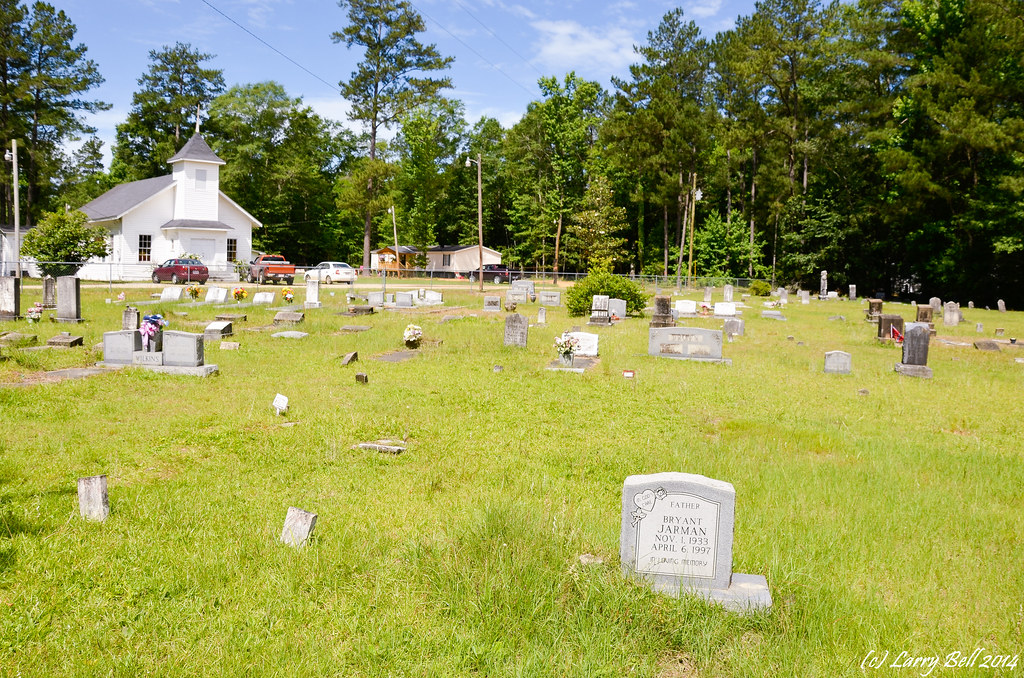
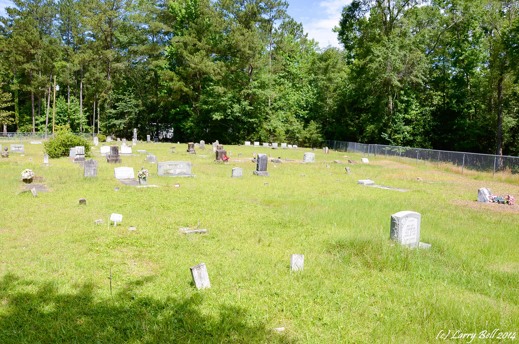
Related Photos:
Vinegar Bend, AL
DSC_7842.jpg

_DSC0049.jpg
_DSC0016.jpg
_DSC0011.jpg
_DSC0177.jpg
DSC_7854.jpg
DSC_7853.jpg
DSC_7852.jpg
DSC_7851.jpg
DSC_9086.jpg
_DSC0050.jpg
_DSC0049.jpg
_DSC0016.jpg
DSC_8094.jpg
DSC_8093.jpg

DSCN5583.jpg
Topographic Map of Earlwood Rd, Vinegar Bend, AL, USA
Find elevation by address:

Places near Earlwood Rd, Vinegar Bend, AL, USA:
Deer Park
Co Rd 8, Vinegar Bend, AL, USA
Magnolia St, Deer Park, AL, USA
Vinegar Bend
11150 Billy Walker Rd
Fruitdale Ave, Vinegar Bend, AL, USA
AL-57, Fruitdale, AL, USA
Fruitdale
30 Magnolia St, Fruitdale, AL, USA
8810 Turner Dr
Brown Blankinchip Rd, Citronelle, AL, USA
7825 Al-17
Citronelle
Citronella Inn
Washington County
Tibbie
S 3rd St, Citronelle, AL, USA
Hawthorne Rd, Tibbie, AL, USA
8240 Woodland Dr S
Co Rd 4, McIntosh, AL, USA
Recent Searches:
- Elevation of Vista Blvd, Sparks, NV, USA
- Elevation of 15th Ave SE, St. Petersburg, FL, USA
- Elevation of Beall Road, Beall Rd, Florida, USA
- Elevation of Leguwa, Nepal
- Elevation of County Rd, Enterprise, AL, USA
- Elevation of Kolchuginsky District, Vladimir Oblast, Russia
- Elevation of Shustino, Vladimir Oblast, Russia
- Elevation of Lampiasi St, Sarasota, FL, USA
- Elevation of Elwyn Dr, Roanoke Rapids, NC, USA
- Elevation of Congressional Dr, Stevensville, MD, USA