Elevation of 30 Magnolia St, Fruitdale, AL, USA
Location: United States > Alabama > Washington County > Fruitdale >
Longitude: -88.407630
Latitude: 31.343904
Elevation: 76m / 249feet
Barometric Pressure: 100KPa
Elevation Map:
Satellite Map:
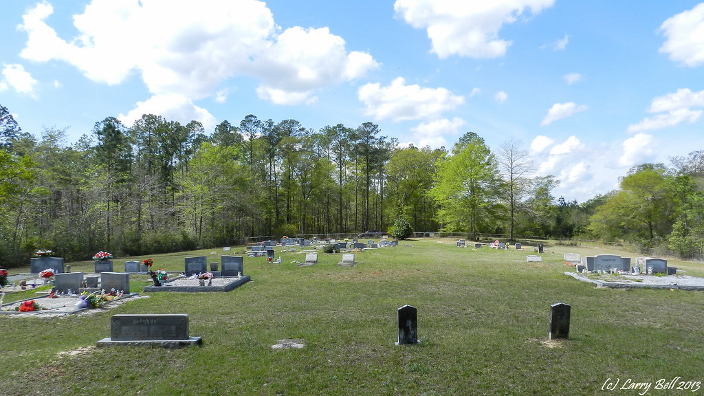
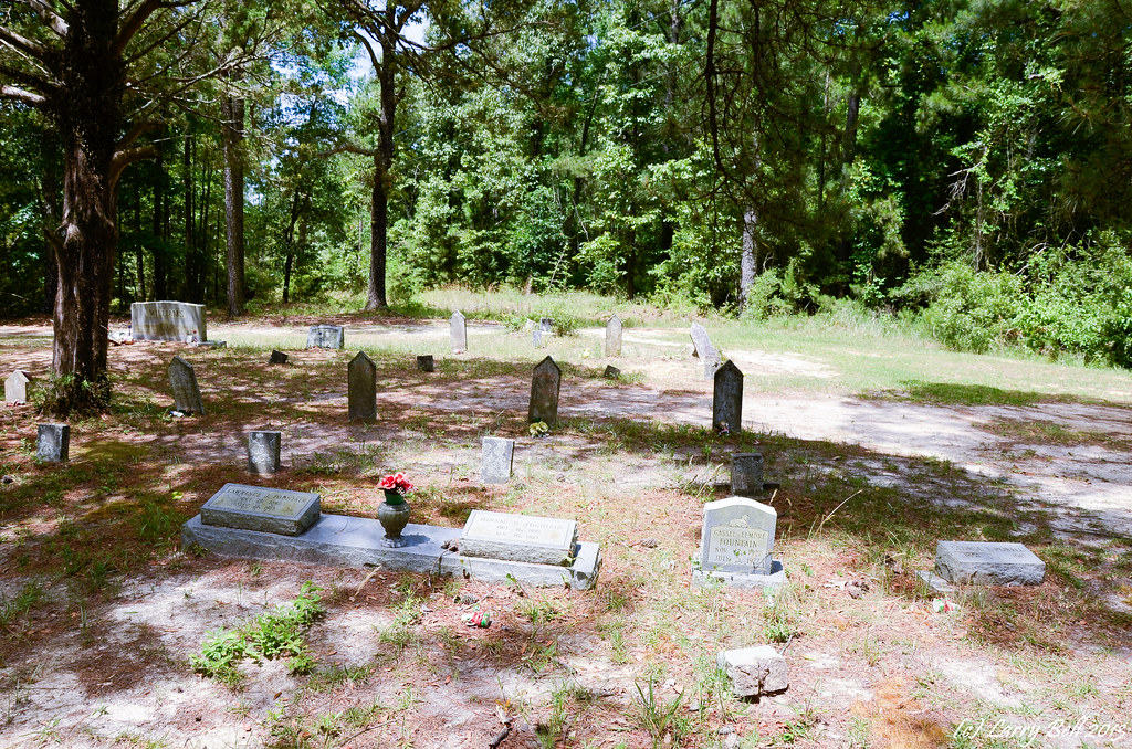
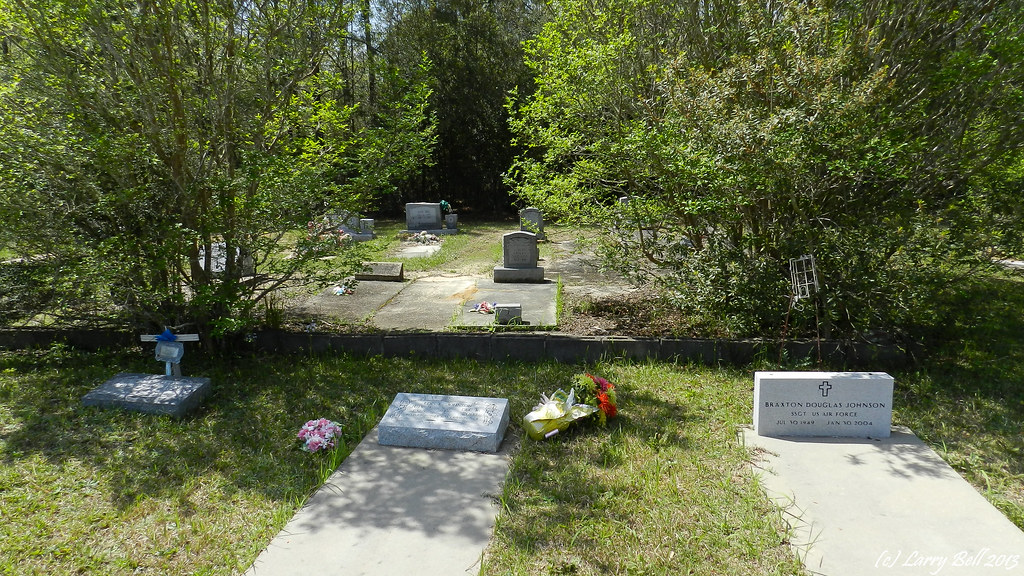
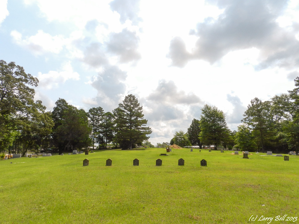
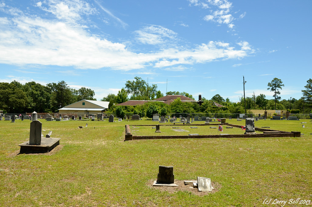
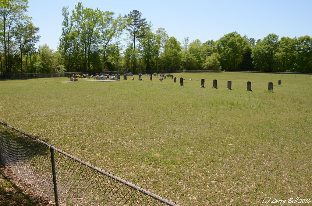
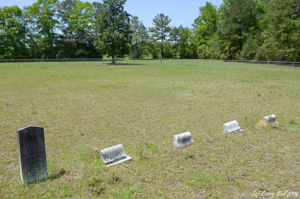
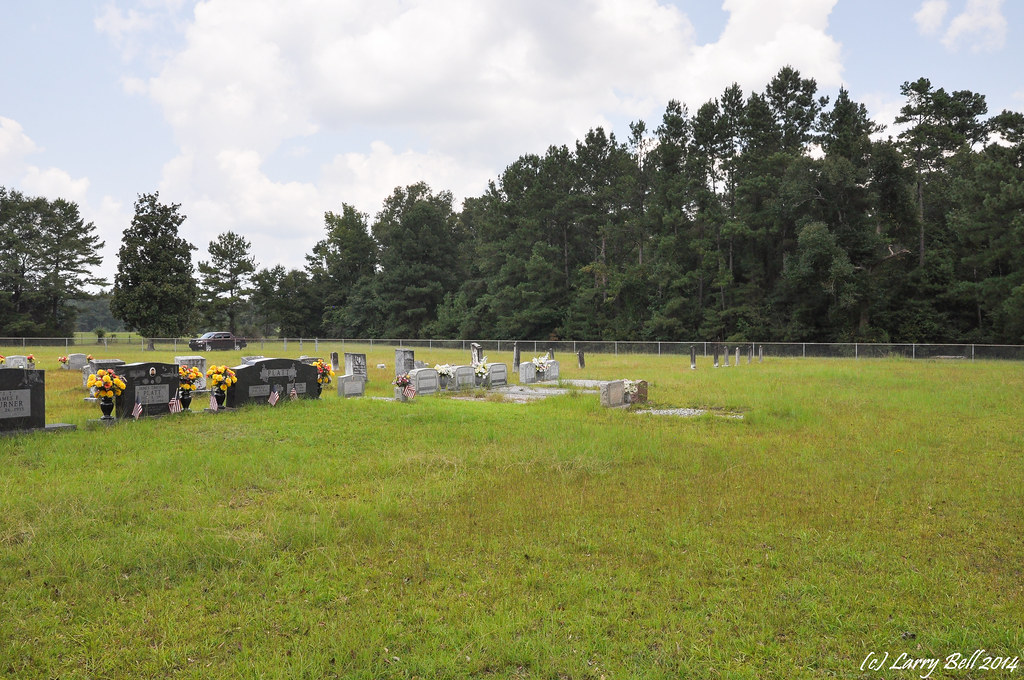
Related Photos:
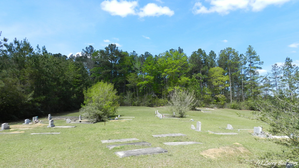
DSCN1086.jpg
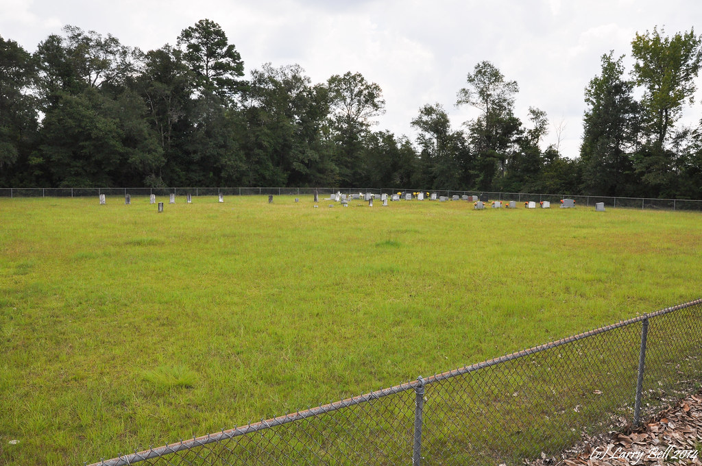
DSC_7802.jpg
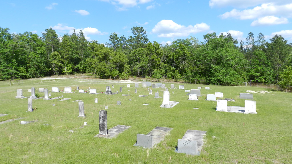
DSCN2817.jpg
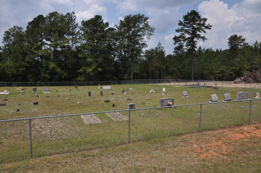
DSC_7842.jpg
DSC_9207.jpg
DSC_9167.jpg
DSCN1163.jpg

_DSC0049.jpg
_DSC0016.jpg
_DSC0011.jpg
DSC_9056.jpg
DSC_9050.jpg
DSCN0998.jpg
DSCN0995.jpg
_DSC0177.jpg
DSCN1114.jpg
DSCN9588.jpg
_DSC0283.jpg
DSC_2351.jpg
DSC_2262.jpg
DSC_7820.jpg
Topographic Map of 30 Magnolia St, Fruitdale, AL, USA
Find elevation by address:

Places near 30 Magnolia St, Fruitdale, AL, USA:
Fruitdale
AL-57, Fruitdale, AL, USA
Bunker St, Fruitdale, AL, USA
Fruitdale Ave, Vinegar Bend, AL, USA
Vinegar Bend
State Line
Co Rd 8, Vinegar Bend, AL, USA
196 Earlwood Rd
7825 Al-17
Magnolia St, Deer Park, AL, USA
Deer Park
Tibbie
Washington County
Hawthorne Rd, Tibbie, AL, USA
Main St, State Line, MS, USA
Chatom
39 Central Ave, Chatom, AL, USA
Co Rd 5, Millry, AL, USA
Copeland Buckatunna Rd, Millry, AL, USA
11150 Billy Walker Rd
Recent Searches:
- Elevation of 30 Oak Lawn Dr, Barkhamsted, CT, USA
- Elevation of Luther Road, Luther Rd, Auburn, CA, USA
- Elevation of Unnamed Road, Respublika Severnaya Osetiya — Alaniya, Russia
- Elevation of Verkhny Fiagdon, North Ossetia–Alania Republic, Russia
- Elevation of F. Viola Hiway, San Rafael, Bulacan, Philippines
- Elevation of Herbage Dr, Gulfport, MS, USA
- Elevation of Lilac Cir, Haldimand, ON N3W 2G9, Canada
- Elevation of Harrod Branch Road, Harrod Branch Rd, Kentucky, USA
- Elevation of Wyndham Grand Barbados Sam Lords Castle All Inclusive Resort, End of Belair Road, Long Bay, Bridgetown Barbados
- Elevation of Iga Trl, Maggie Valley, NC, USA