Elevation of Citronelle, AL, USA
Location: United States > Alabama > Mobile County >
Longitude: -88.228062
Latitude: 31.0907338
Elevation: 94m / 308feet
Barometric Pressure: 100KPa
Elevation Map:
Satellite Map:
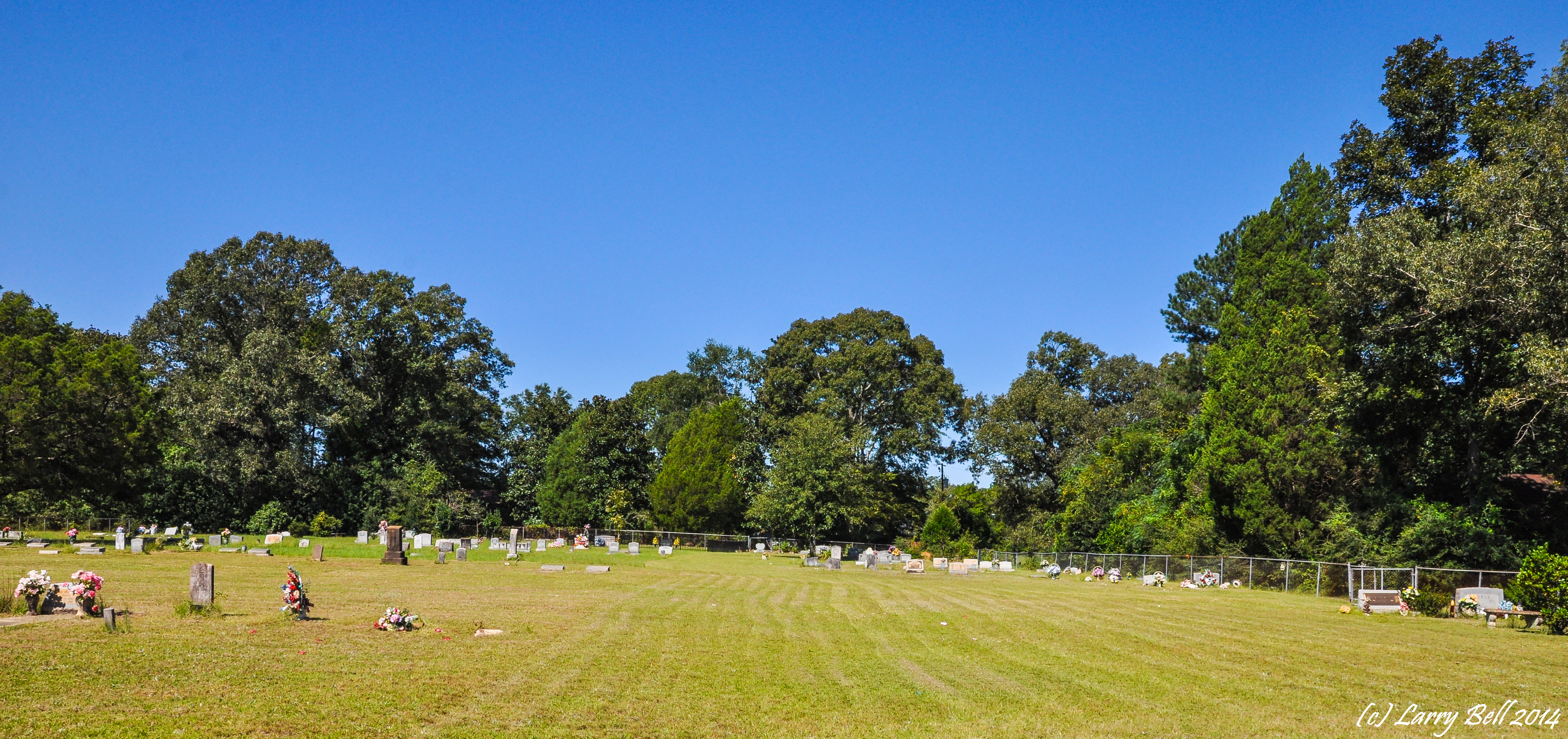
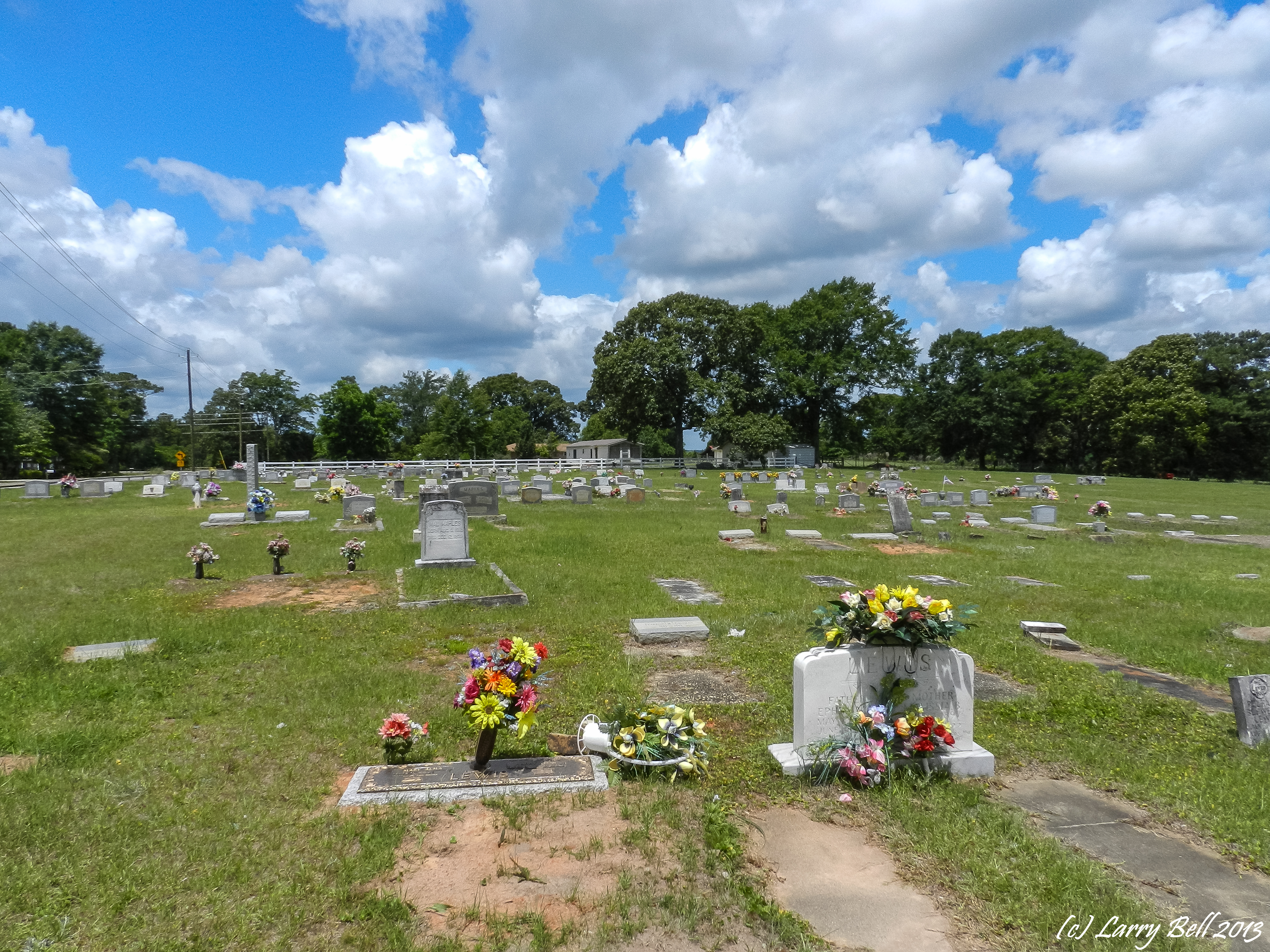
Related Photos:

DSC_0764.jpg
DSC_0682.jpg
DSC_0714.jpg
DSC_0701.jpg

DSC_0105.jpg

DSCN6062.jpg

DSCN5942.jpg
DSCN5940.jpg

DSCN5943.jpg

DSCN6064.jpg
DSCN6063.jpg
DSC_8948.jpg
DSC_1920.jpg
DSCN5576.jpg
DSC_1122.jpg
DSCN5583.jpg
DSC_8934.jpg
DSCN5434.jpg
DSC_8927.jpg

DSCN5495.jpg
DSCN9528.jpg
Topographic Map of Citronelle, AL, USA
Find elevation by address:

Places in Citronelle, AL, USA:
Brown Blankinchip Rd, Citronelle, AL, USA
Pine St, Citronelle, AL, USA
S 3rd St, Citronelle, AL, USA
Celeste Rd, Citronelle, AL, USA
Lambert Cemetery Rd, Citronelle, AL, USA
Old Citronelle Highway
Malone Road
Places near Citronelle, AL, USA:
Citronella Inn
S 3rd St, Citronelle, AL, USA
8240 Woodland Dr S
Celeste Rd, Citronelle, AL, USA
Lambert Cemetery Rd, Citronelle, AL, USA
Old Citronelle Highway
US-45, Chunchula, AL, USA
Roberts Rd, Chunchula, AL, USA
12615 Roberts Rd
US-43, Mt Vernon, AL, USA
St Peter Parish School Rd, Mt Vernon, AL, USA
Mount Vernon
Bucks
US-43, Bucks, AL, USA
10280 Shepard Lake Rd S
13440 Us-43
US-43, Axis, AL, USA
Sawmill Cutoff, Mt Vernon, AL, USA
Amvac Chemical Corporation
Recent Searches:
- Elevation of Corso Fratelli Cairoli, 35, Macerata MC, Italy
- Elevation of Tallevast Rd, Sarasota, FL, USA
- Elevation of 4th St E, Sonoma, CA, USA
- Elevation of Black Hollow Rd, Pennsdale, PA, USA
- Elevation of Oakland Ave, Williamsport, PA, USA
- Elevation of Pedrógão Grande, Portugal
- Elevation of Klee Dr, Martinsburg, WV, USA
- Elevation of Via Roma, Pieranica CR, Italy
- Elevation of Tavkvetili Mountain, Georgia
- Elevation of Hartfords Bluff Cir, Mt Pleasant, SC, USA