Elevation of Bucks, AL, USA
Location: United States > Alabama > Mobile County >
Longitude: -88.024827
Latitude: 31.0097328
Elevation: 14m / 46feet
Barometric Pressure: 101KPa
Elevation Map:
Satellite Map:
Related Photos:

FB 022011 Bird Watching-01 HDR Aa
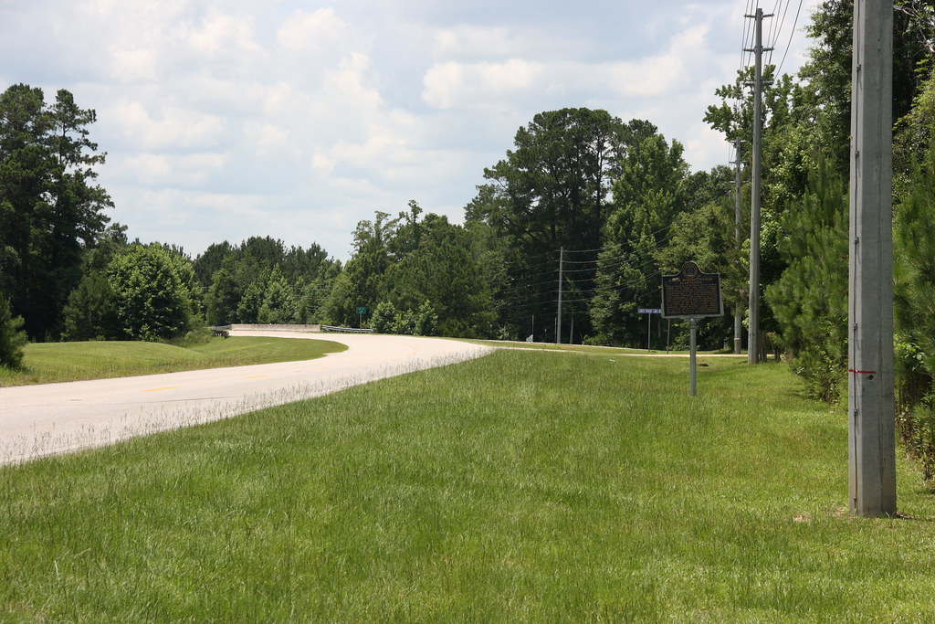
Major Robert Farmar Plantation Historical Marker Location / P2013-0622D135
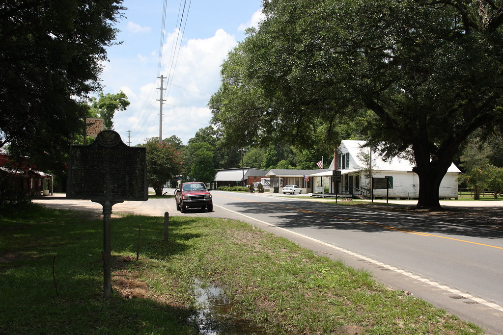
The Mound Line Historical Marker and Stockton / P2013-0622D157
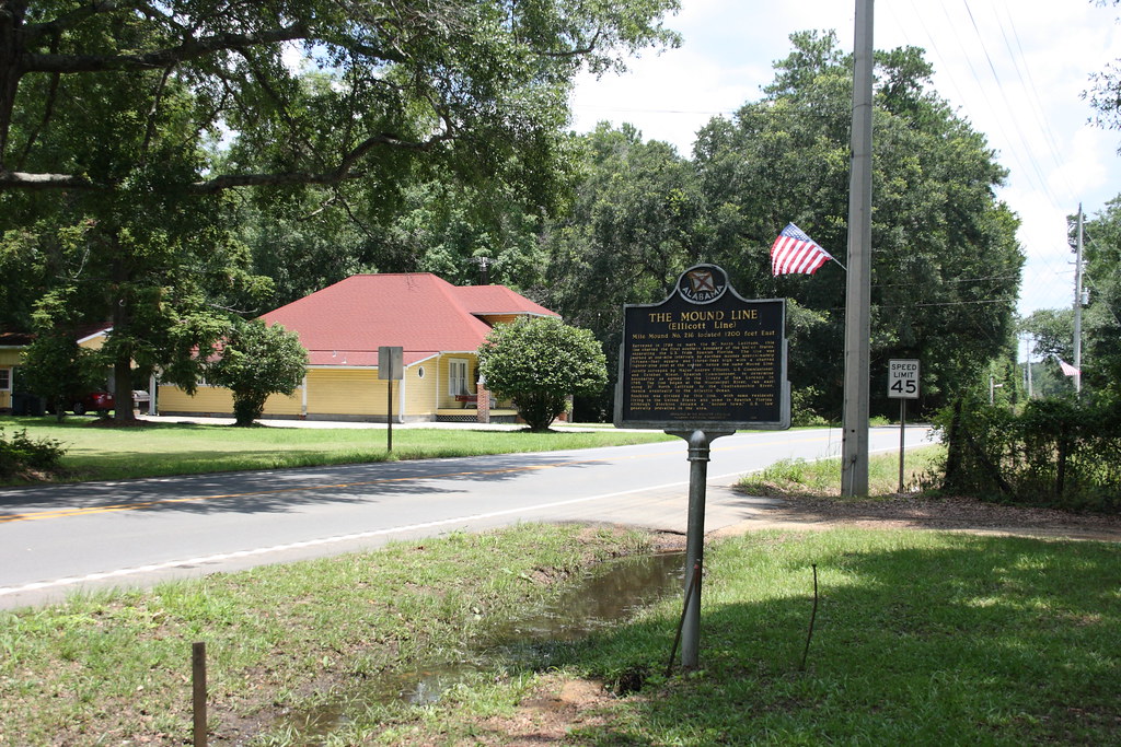
The Mound Line Historical Marker / P2013-0622D155
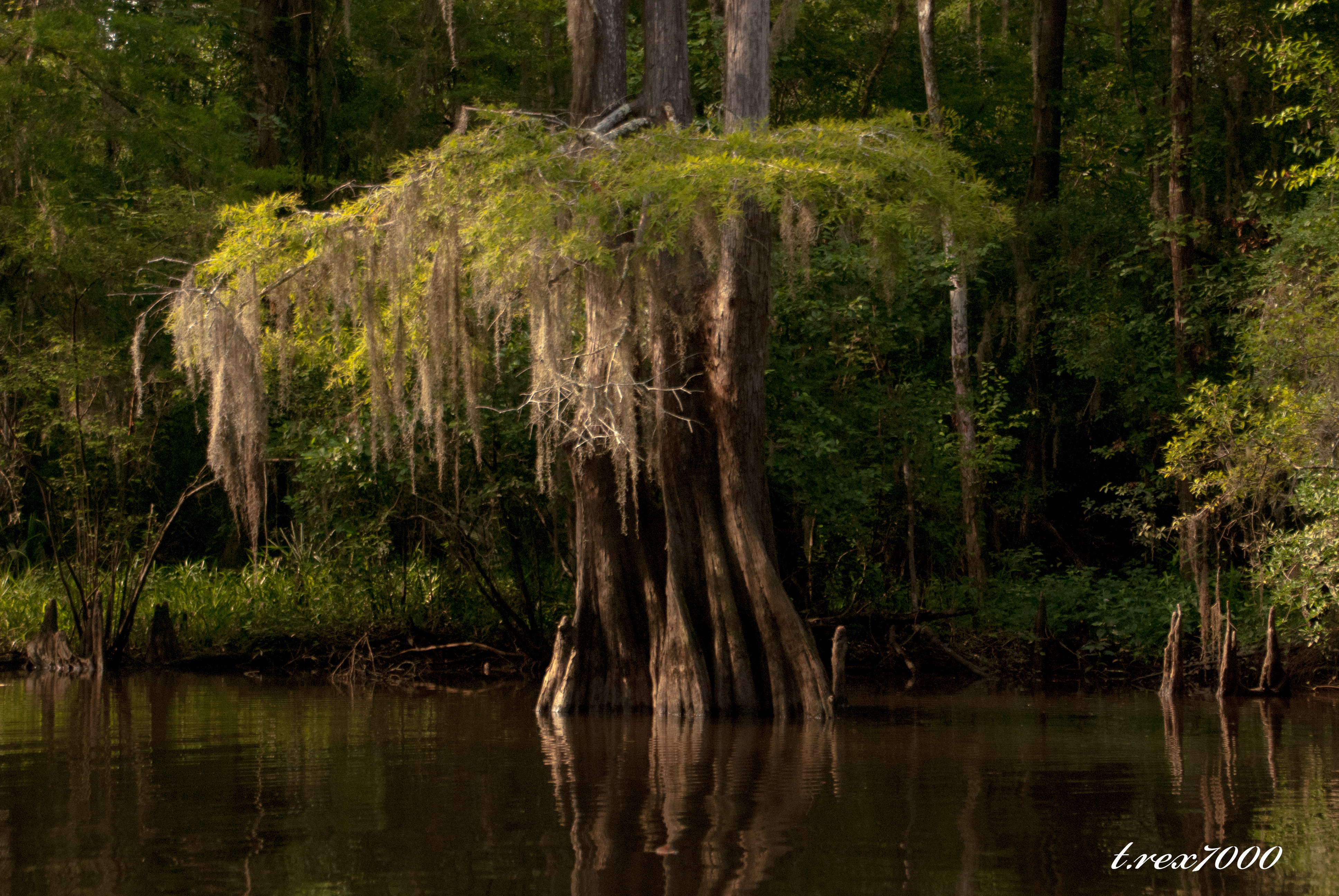
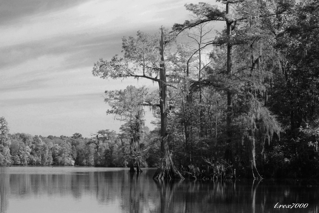
CYPRESS AND MOSS
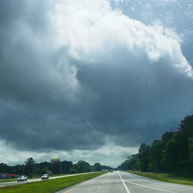
#CloudFormations over #mobile #winds kicking up.

DSCN2383.jpg

DSC_2917.jpg

36/52 It's a Book
31/52 Sky over Creola-08a
31/52 Sky over Creola-05a
LANDSCAPE W/CABINS

LANDSCAPE W/EGRET
LANDSCAPE B/W

DSCN2384.jpg

31/52 Sky over Creola-13a

VI Move - SC Drive

B & W EGRET

LANDSCAPE B/W
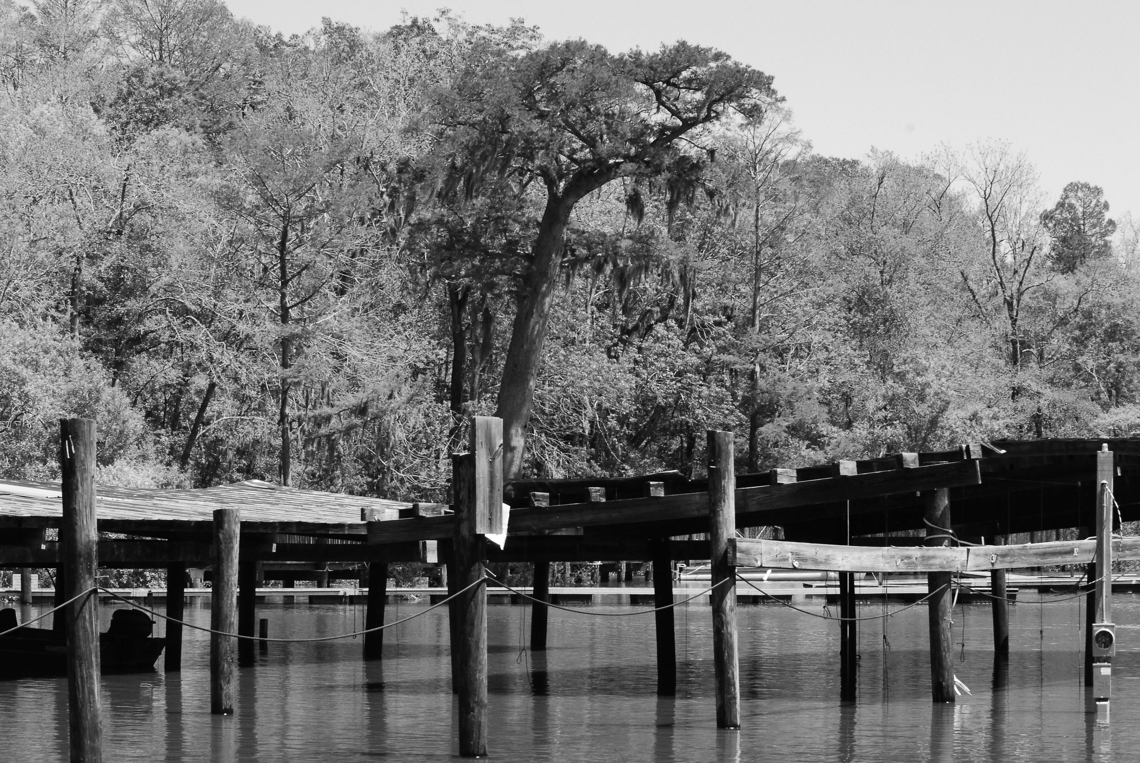
B/W MARINA

DSCN5433.jpg

DSC_2819.jpg

DSCN2135.jpg
DSC_0009.jpg
DSC_0008.jpg
Topographic Map of Bucks, AL, USA
Find elevation by address:

Places in Bucks, AL, USA:
Places near Bucks, AL, USA:
US-43, Bucks, AL, USA
St Peter Parish School Rd, Mt Vernon, AL, USA
13440 Us-43
US-43, Axis, AL, USA
US-43, Mt Vernon, AL, USA
Amvac Chemical Corporation
Mount Vernon
10280 Shepard Lake Rd S
Sawmill Cutoff, Mt Vernon, AL, USA
Roberts Rd, Chunchula, AL, USA
Lambert Cemetery Rd, Citronelle, AL, USA
12615 Roberts Rd
Old Citronelle Highway
Celeste Rd, Citronelle, AL, USA
S 3rd St, Citronelle, AL, USA
US-45, Chunchula, AL, USA
8240 Woodland Dr S
Citronella Inn
Citronelle
Recent Searches:
- Elevation of Elwyn Dr, Roanoke Rapids, NC, USA
- Elevation of Congressional Dr, Stevensville, MD, USA
- Elevation of Bellview Rd, McLean, VA, USA
- Elevation of Stage Island Rd, Chatham, MA, USA
- Elevation of Shibuya Scramble Crossing, 21 Udagawacho, Shibuya City, Tokyo -, Japan
- Elevation of Jadagoniai, Kaunas District Municipality, Lithuania
- Elevation of Pagonija rock, Kranto 7-oji g. 8"N, Kaunas, Lithuania
- Elevation of Co Rd 87, Jamestown, CO, USA
- Elevation of Tenjo, Cundinamarca, Colombia
- Elevation of Côte-des-Neiges, Montreal, QC H4A 3J6, Canada