Elevation of Co Rd 8, Vinegar Bend, AL, USA
Location: United States > Alabama >
Longitude: -88.385552
Latitude: 31.2168165
Elevation: 75m / 246feet
Barometric Pressure: 100KPa
Elevation Map:
Satellite Map:
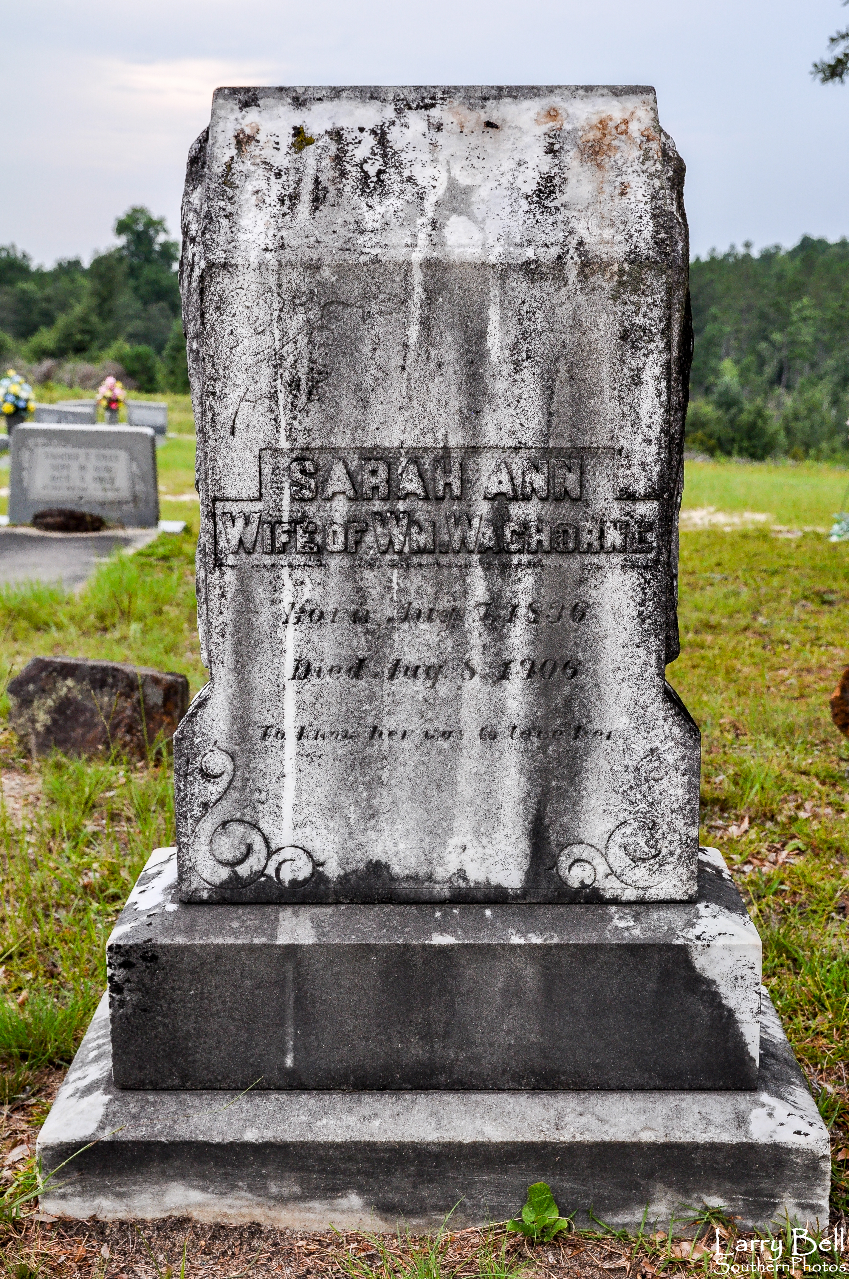
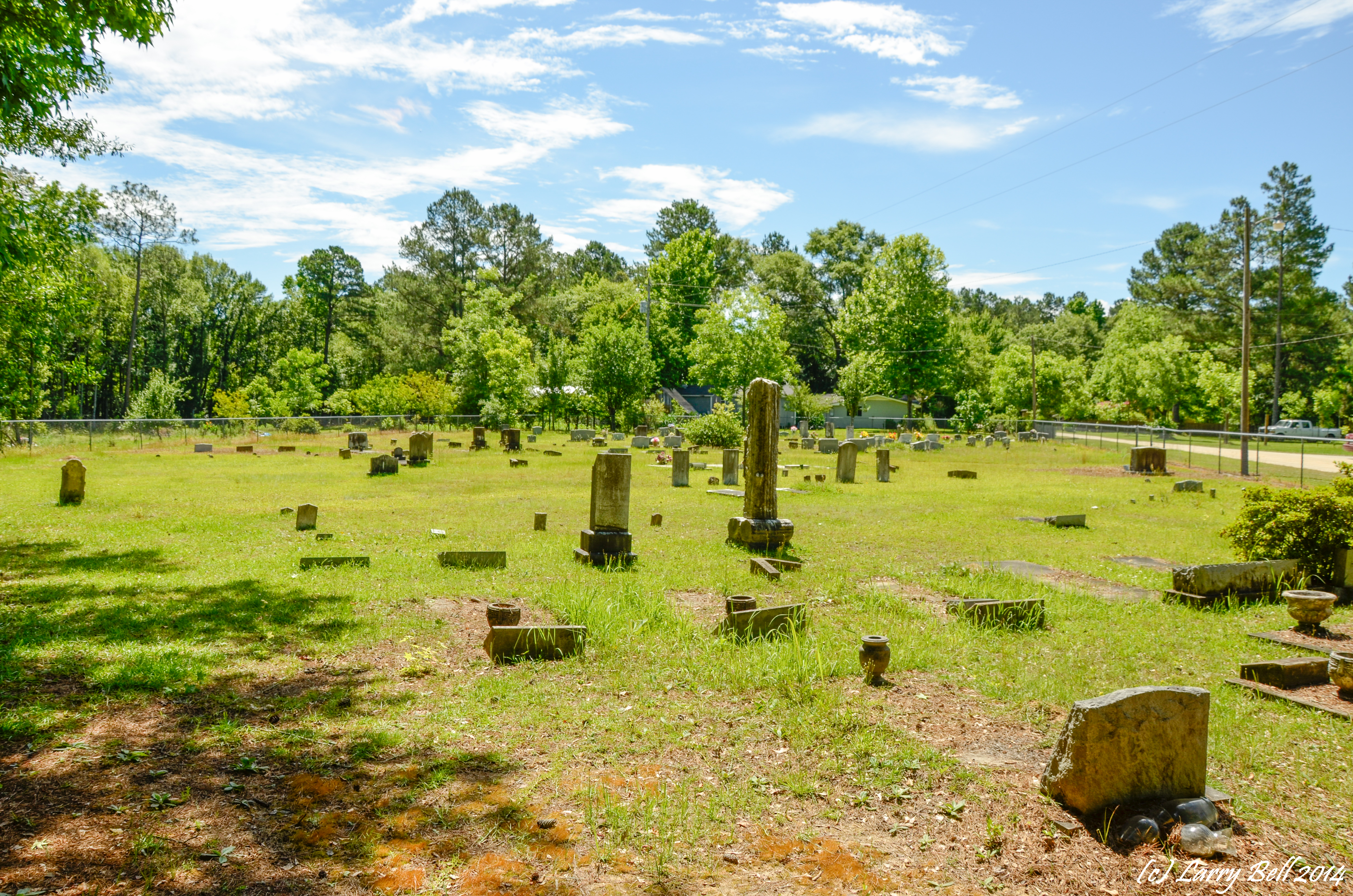
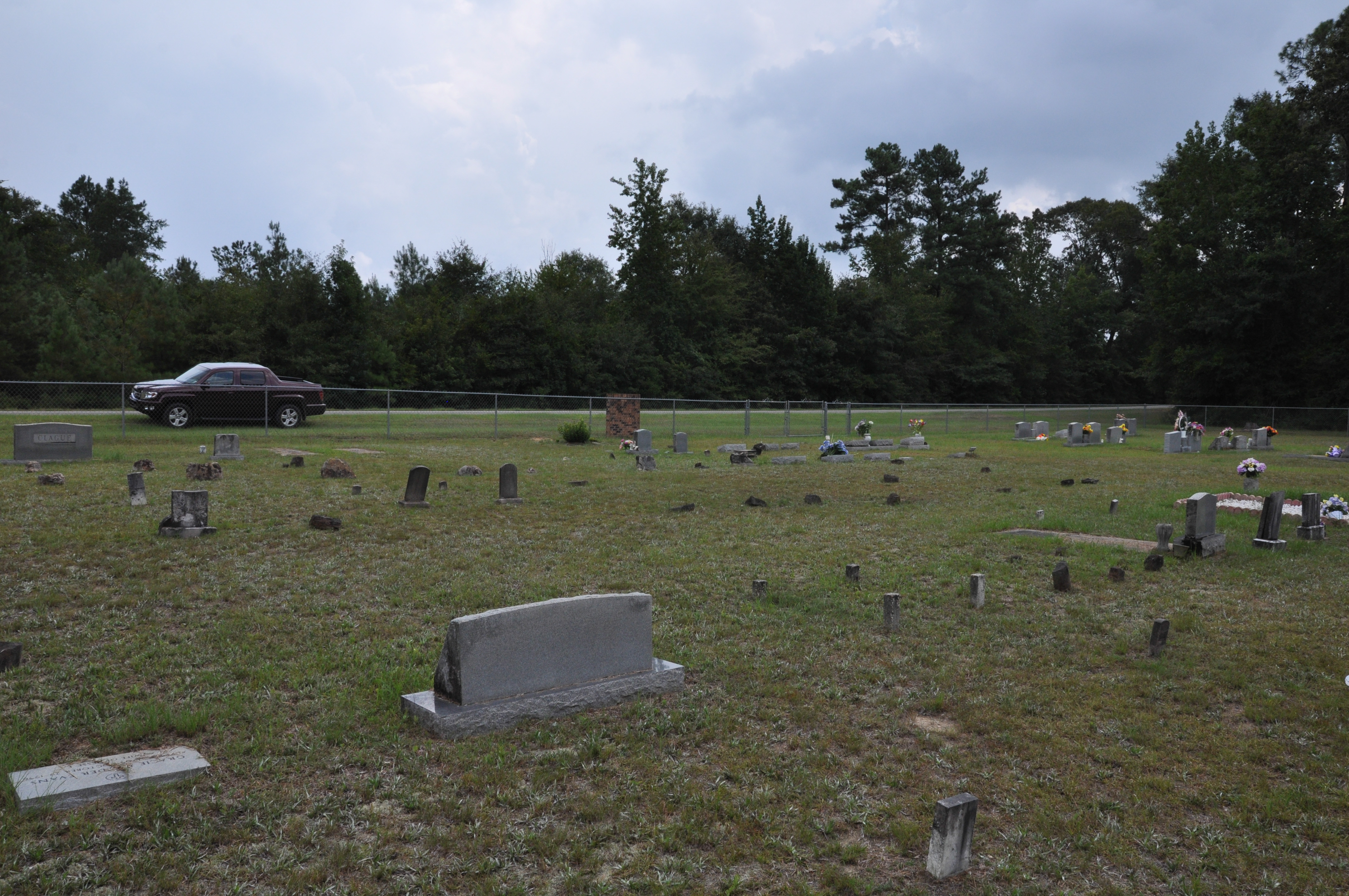
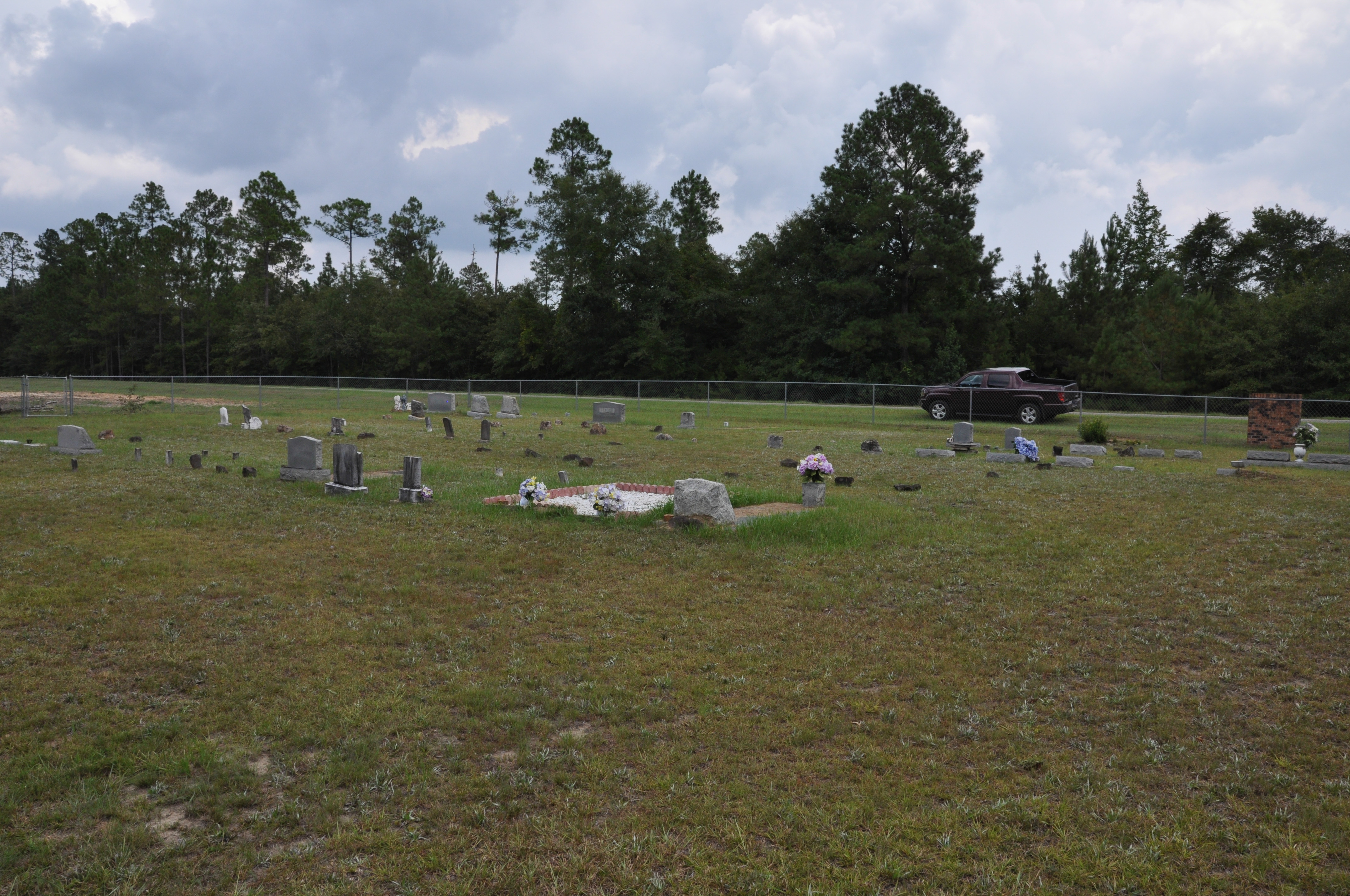
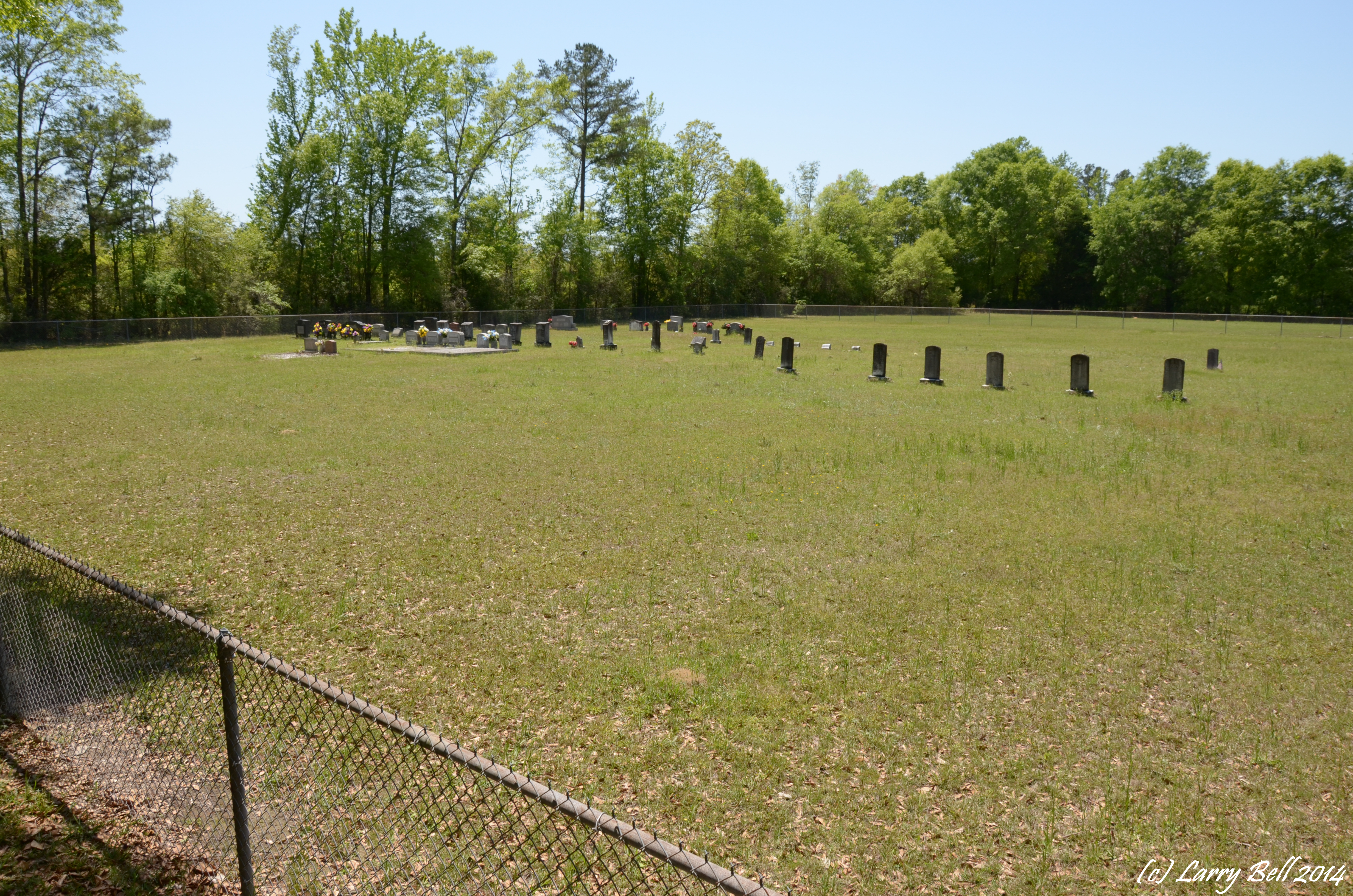
Related Photos:
DSC_7802.jpg
DSC_7842.jpg

DSC_9059.jpg
DSC_9086.jpg
_DSC0049.jpg
DSC_8094.jpg
_DSC0049.jpg
DSCN7833.jpg
DSC_2230.jpg
DSC_7803.jpg
DSC_9056.jpg

_DSC0050.jpg
DSC_7820.jpg
DSC_7819.jpg
DSC_7864.jpg
_DSC0177.jpg
DSC_7804.jpg
DSC_2227.jpg
DSC_7852.jpg
DSC_7854.jpg
DSC_2351.jpg
Topographic Map of Co Rd 8, Vinegar Bend, AL, USA
Find elevation by address:

Places near Co Rd 8, Vinegar Bend, AL, USA:
196 Earlwood Rd
Fruitdale Ave, Vinegar Bend, AL, USA
Vinegar Bend
Deer Park
Magnolia St, Deer Park, AL, USA
AL-57, Fruitdale, AL, USA
11150 Billy Walker Rd
Fruitdale
30 Magnolia St, Fruitdale, AL, USA
Brown Blankinchip Rd, Citronelle, AL, USA
7825 Al-17
Washington County
8810 Turner Dr
Bunker St, Fruitdale, AL, USA
Tibbie
Citronelle
Citronella Inn
Hawthorne Rd, Tibbie, AL, USA
S 3rd St, Citronelle, AL, USA
8240 Woodland Dr S
Recent Searches:
- Elevation of Corso Fratelli Cairoli, 35, Macerata MC, Italy
- Elevation of Tallevast Rd, Sarasota, FL, USA
- Elevation of 4th St E, Sonoma, CA, USA
- Elevation of Black Hollow Rd, Pennsdale, PA, USA
- Elevation of Oakland Ave, Williamsport, PA, USA
- Elevation of Pedrógão Grande, Portugal
- Elevation of Klee Dr, Martinsburg, WV, USA
- Elevation of Via Roma, Pieranica CR, Italy
- Elevation of Tavkvetili Mountain, Georgia
- Elevation of Hartfords Bluff Cir, Mt Pleasant, SC, USA