Elevation of E Bethel Rd, Randolph Center, VT, USA
Location: United States > Vermont > Orange County > Randolph >
Longitude: -72.606262
Latitude: 43.898945
Elevation: 321m / 1053feet
Barometric Pressure: 98KPa
Elevation Map:
Satellite Map:
Related Photos:

Vermont Winter Landscape
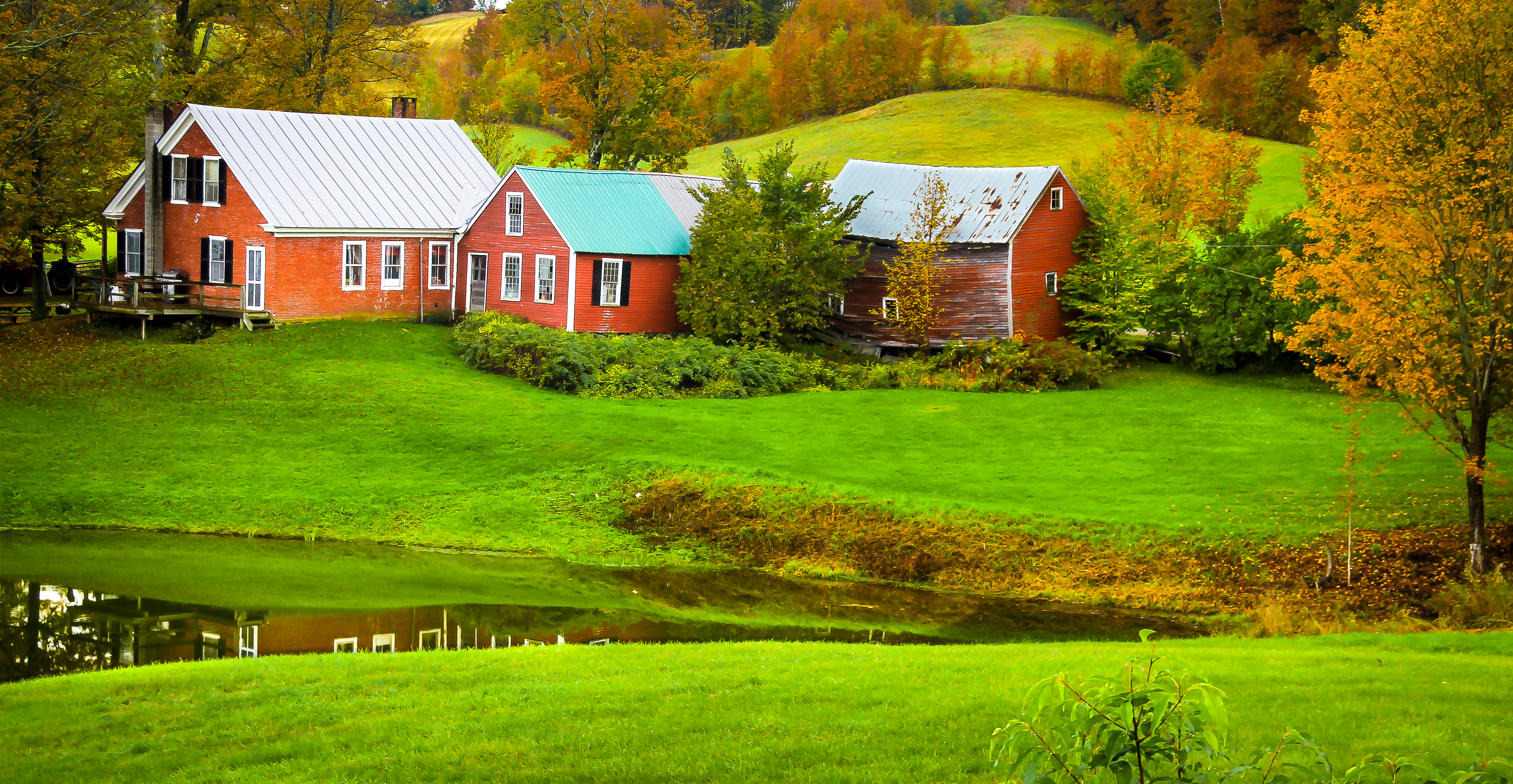
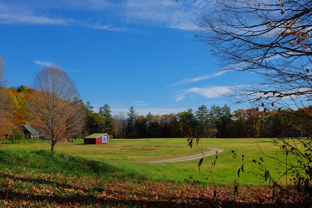
Jenny Farm Vermont

Yellow Caterpillar; Orgyia definita?

White River Summer

Main Street postcard 1907
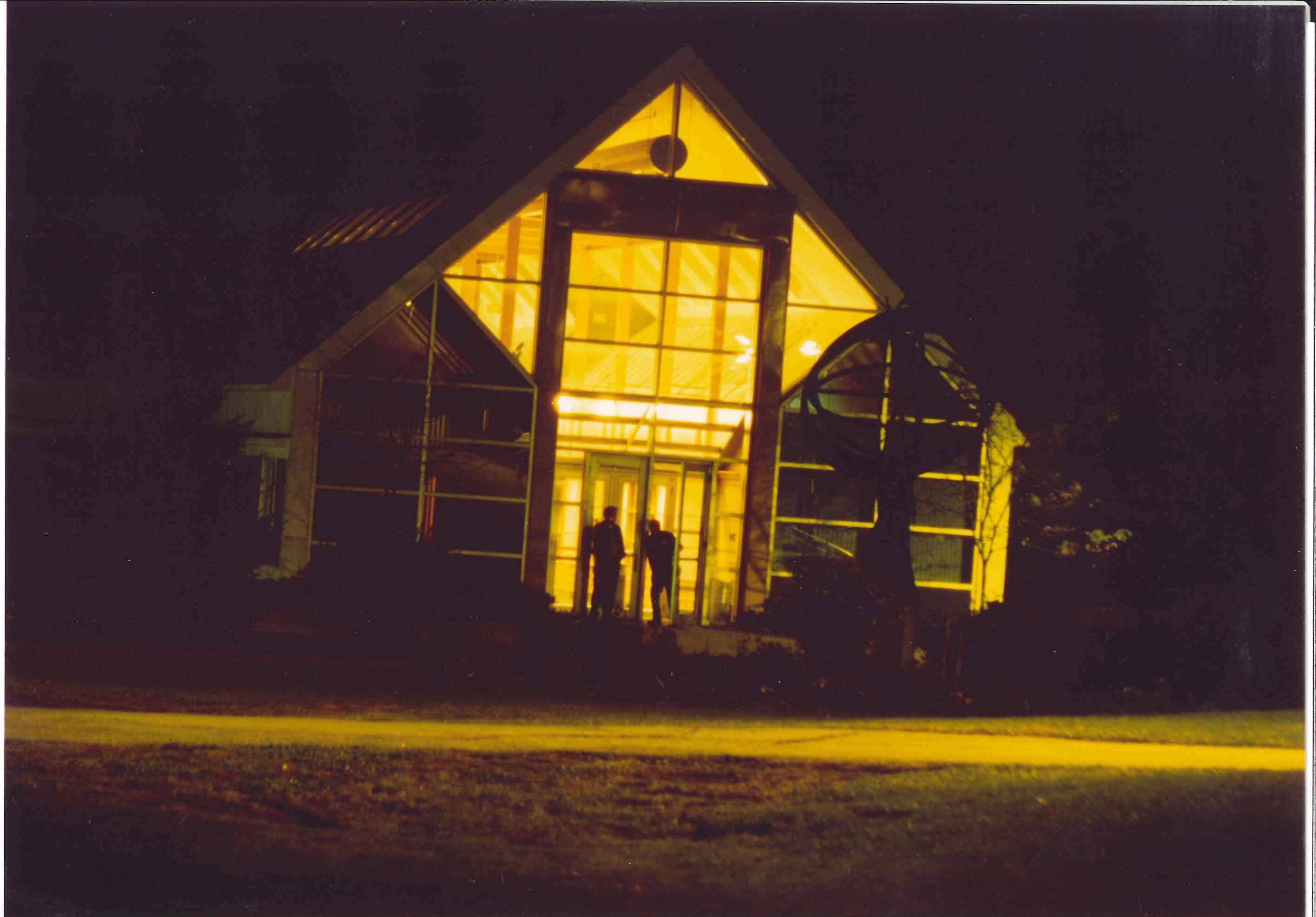
VTC Admin bdlg South Entr at night

VSA 1940's Dormitory

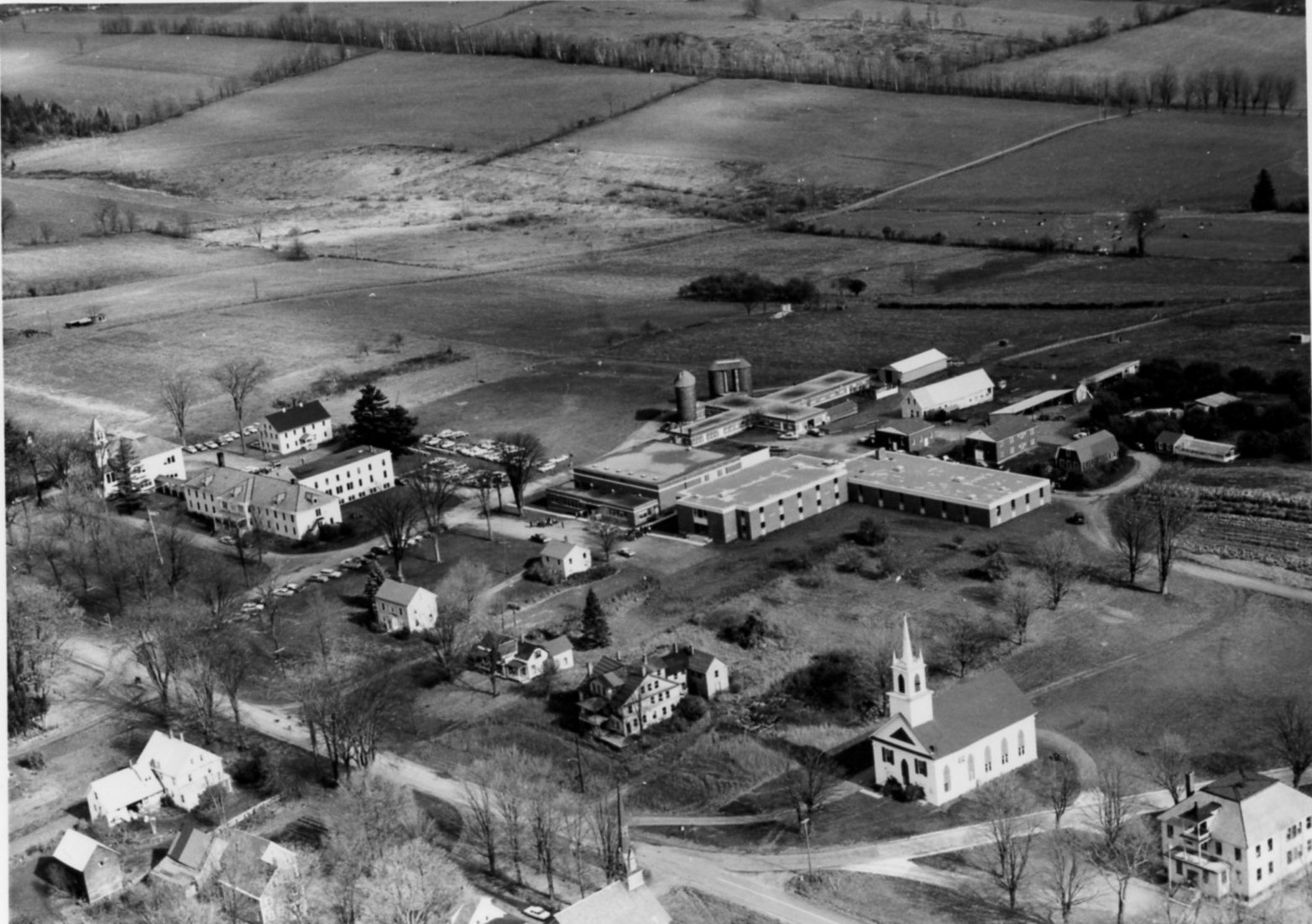
VATI Campus late1950's
VSA Campus late1940's
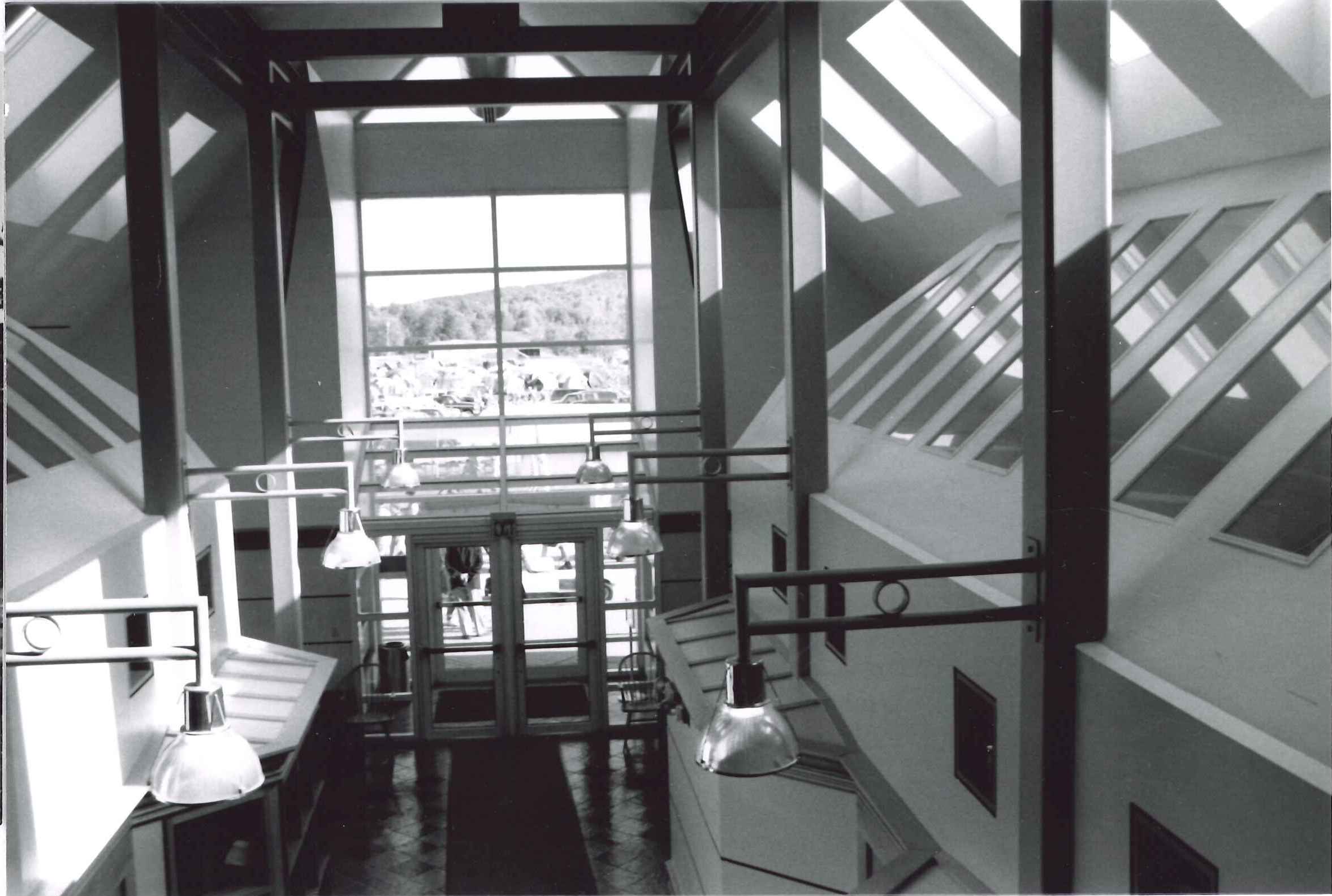
VTC Admin bldg Interior North entrance

Allen house

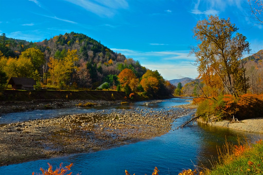
River-level view
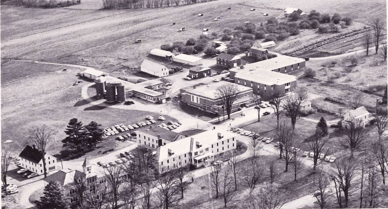
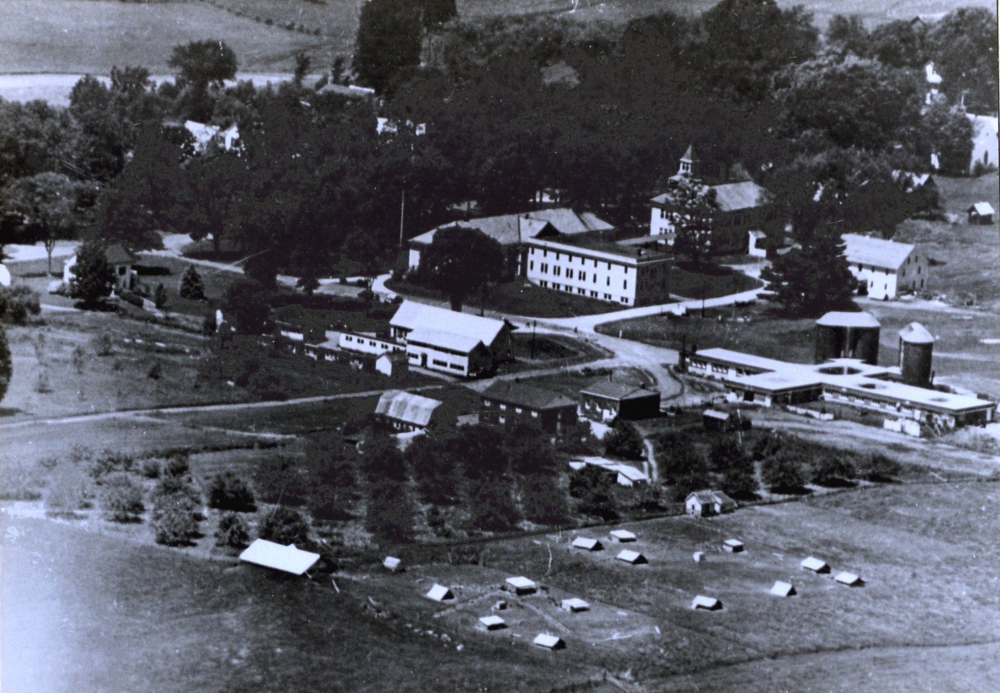
Campus air view 1963

South Royalton House
VTC Campus 1964

Blue Goose Farm View

Uphill View of the Farm

Scenic View from NE copy

Vermont Valley
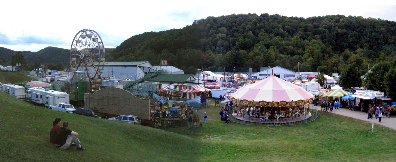
2007 Tunbridge World's Fair

Nearing The Ledge

Autumn at the Moxley Covered Bridge
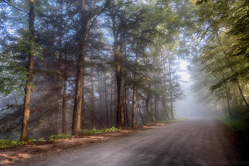
Foggy Morning

2017-09-15_09-27-56

red barn from the floating bridge

Mill Covered Bridge

Bare apple tree on a foggy morning with the sun

McIntosh Pond
Stockbridge Lakeview

Sunset Lake Floating Bridge
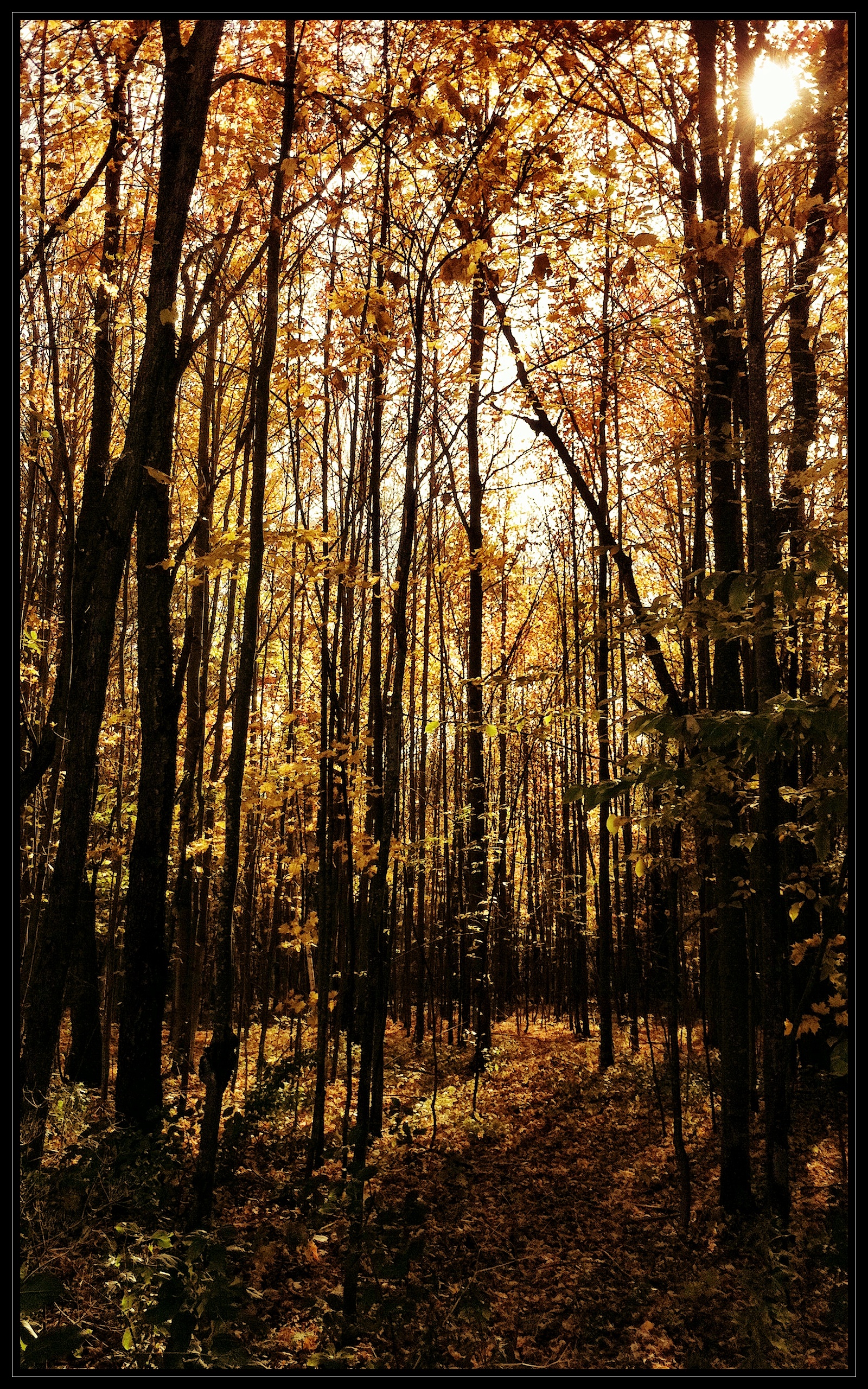
Through the Woods
Vermont Landscape

White River National Fish Hatchery

Vermont Landscape

Hartness Library landscape

Howe Covered Bridge (Tunbridge Town, Vermont)

Northern New England Landscape (Royalton Town, Vermont)

South Royalton, VT 8/28 10:00 AM

I want to move here. #Vermont

Vermont State Highway 14 (East Randolph, Vermont)
Topographic Map of E Bethel Rd, Randolph Center, VT, USA
Find elevation by address:

Places near E Bethel Rd, Randolph Center, VT, USA:
1674 E Bethel Rd
2275 Fish Hill Rd
581 E Bethel Rd
Vermont Technical College
2546 Christian Hill Rd
Randolph Center
2920 Main St
4301 Pleasant St
2771 Vt-66
465 Sunset Hill Rd
24 Central St
124 Clarksville Rd
30 Pleasant St
Randolph
100 Vt-14
100 Vt-14
71 Clarksville Rd
20 Johnson Cir
Bethel
Bethel Mills
Recent Searches:
- Elevation of Congressional Dr, Stevensville, MD, USA
- Elevation of Bellview Rd, McLean, VA, USA
- Elevation of Stage Island Rd, Chatham, MA, USA
- Elevation of Shibuya Scramble Crossing, 21 Udagawacho, Shibuya City, Tokyo -, Japan
- Elevation of Jadagoniai, Kaunas District Municipality, Lithuania
- Elevation of Pagonija rock, Kranto 7-oji g. 8"N, Kaunas, Lithuania
- Elevation of Co Rd 87, Jamestown, CO, USA
- Elevation of Tenjo, Cundinamarca, Colombia
- Elevation of Côte-des-Neiges, Montreal, QC H4A 3J6, Canada
- Elevation of Bobcat Dr, Helena, MT, USA