Elevation of 20 Johnson Cir, Tunbridge, VT, USA

Location: United States > Vermont > Orange County > Tunbridge >

Longitude: -72.541572

Latitude: 43.8718593

Elevation: -10000m / -32808feet

Barometric Pressure: 295KPa

Elevation Map:

elevation map of 20 Johnson Cir, Tunbridge, VT, USA

Satellite Map:

Satellite map of 20 Johnson Cir, Tunbridge, VT, USA

Related Photos:

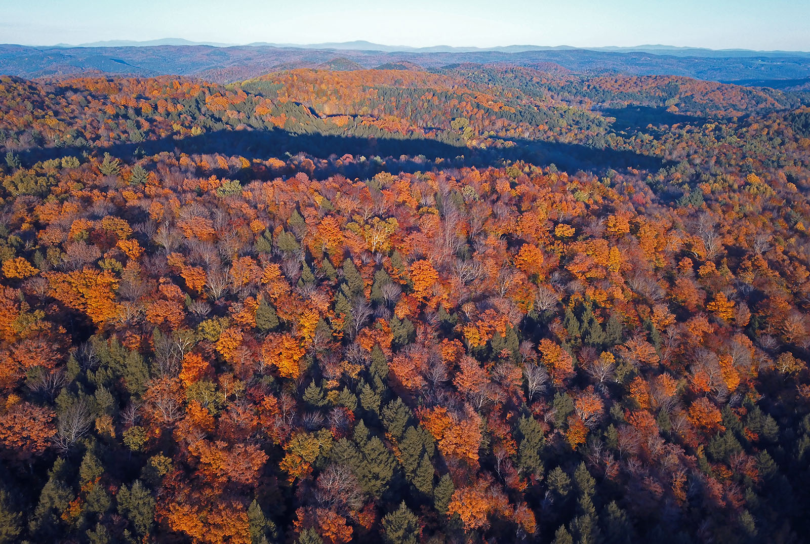
Room with an Autumnal View
portrait yellow hair bokeh caterpillar antennae larva mandibles southroyaltonvermont
Yellow Caterpillar; Orgyia definita?
thanksgiving november blue trees winter sky white mountain snow mountains green fall nature beautiful beauty clouds landscape cabin nikon vermont hills 2008 vt niels winterscape d300 mountainous 18200mm southroyalton nosha november2008 thanksgiving2008 nielstrish vermontcabin
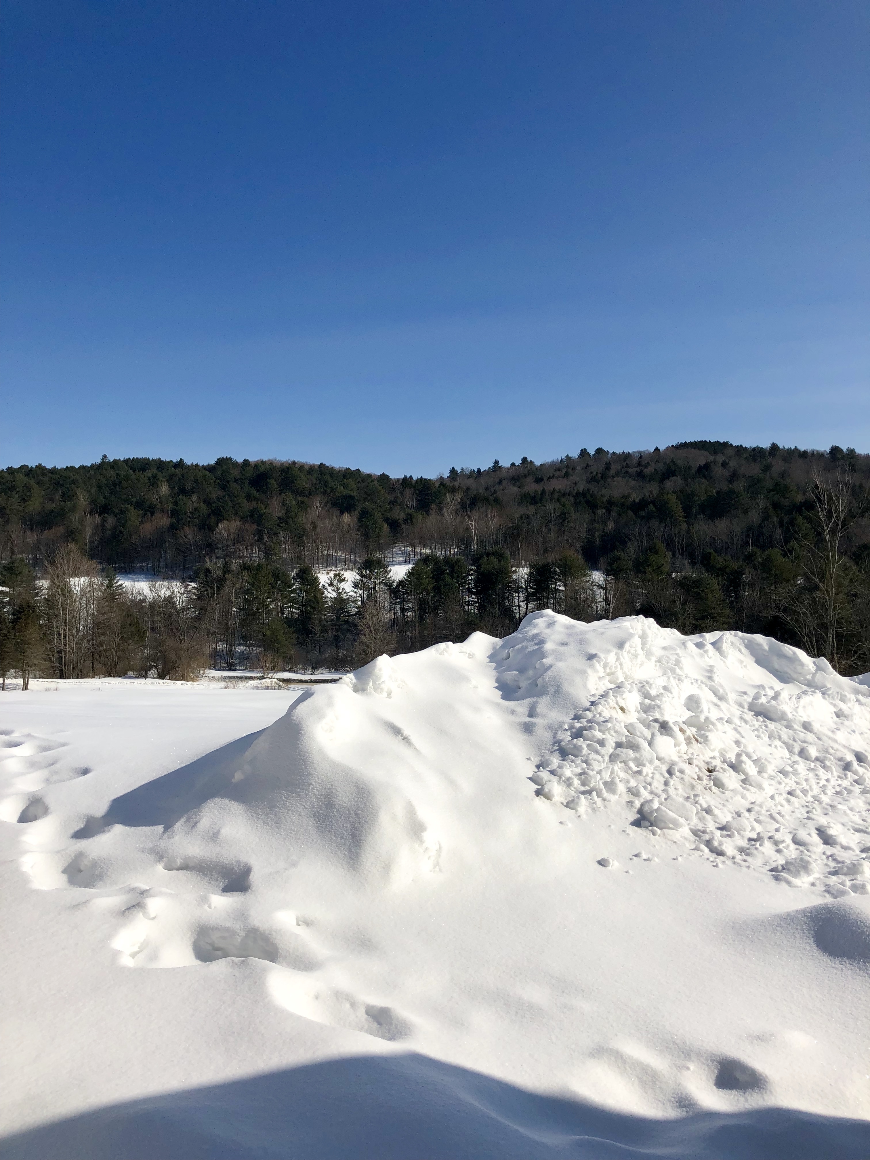
Vermont Winter Landscape
fall vermont newengland canon60d platinumheartaward jennyfarm mygearandme
Jenny Farm Vermont
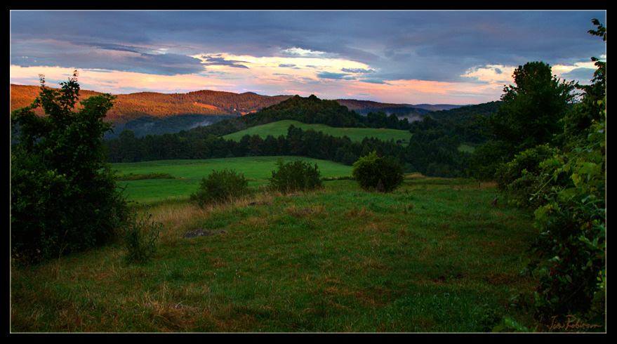
Views from the Bogburn
trees winter snow vermont snowcapped valley vt randolphcenter canong9
View Through The Trees
blue vermont view farm goose east randolph
Blue Goose Farm View
river vermont walk whiteriver vt bethel bethelvt
River-level view
autumn trees people fall woods vermont view foliage vt southroyalton kentsledge canon40d
Nearing The Ledge
food vermont farm 2006 fields royalton royaltonvt fourspringfarms fireflyfestival
Uphill View of the Farm
autumn trees people fall photography woods vermont view foliage vt southroyalton kentsledge canon40d
Taking A Picture Up On Kent's Ledge
summer green water river vermont whiteriver southroyalton nikond200
White River Summer
honolulu, early morning
waterfall stream vermont 2006 falls waterfalls strafford justinmorrillhomestead straffordvt
Ice House Stream
birthday greg 2006 happybirthday happybirthdaygreg
Happy 30th Birthday, Greg!
American Bittern, North Rd., Barnard, VT, 21-Apr-2014
feet river vermont nap day view legs bright highcontrast lookout golfcourse resting height vt randolph dropoff greenmountain expansive horsebarn clif canon40d
Good Place For An Afternoon Nap
snow ice nikon vermont hills whiteriver d200 southroyalton 50mmf14nikkor
White White River
vermont ferriswheel 2008 tunbridgeworldsfair tunbridge tunbridgevt
My Favourite View
vermont carousel fair ferriswheel merrygoround tunbridgeworldsfair tunbridge 2007 tunbridgevt
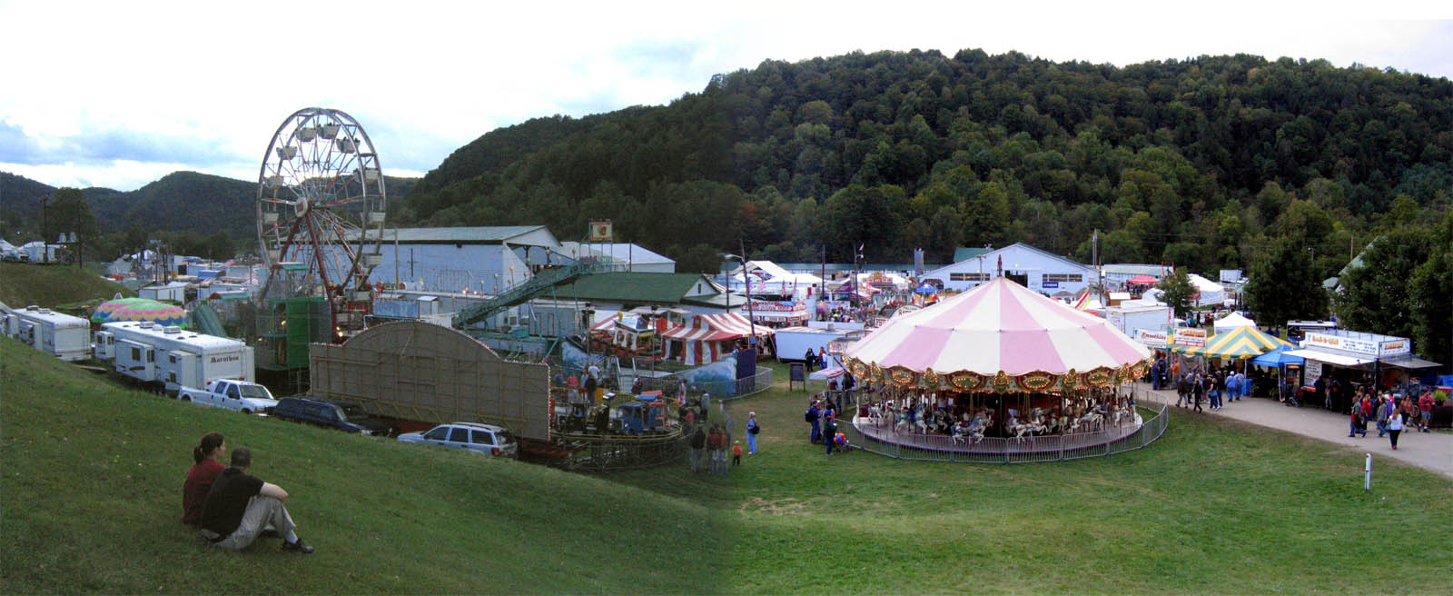
2007 Tunbridge World's Fair
art vermont library 2006 tunbridge tunbridgevt zugglass
Tunbridge Library
autumn trees fall leaves barn pond vermont foliage
Barn in Brookfield
First Signs of the Coming Winter
Looking Southeast at Sunset
longexposure nature river landscape nikon stream pretty vermont hiking trail orangecounty 2870 neutraldensity d700 oldcityfalls
Old City Falls (VT)
november autumn landscape vermont fields bethelvt
November Sun
summervacationjosephsmithmemorial2010 summervacation2010vermontjosephsmithbirds
Joseph Smith Birthplace Memorial-1
South Royalton, VT
I’ve been busy lately...
november autumn landscape vermont fields bethelvt
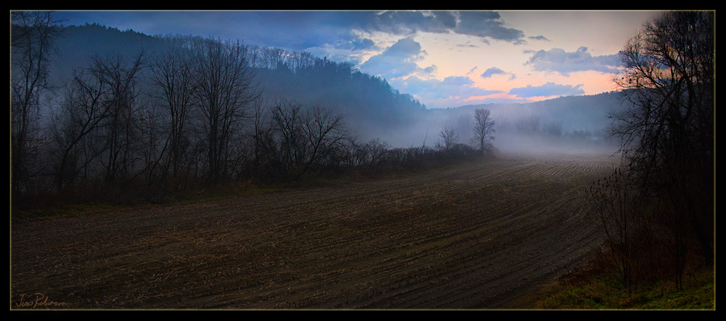
Early Evening Cornfield in November
Pomfret Hills
2016 canon canon6d canonef2470mmf28liiusm chelsea davetrono moxleybridge moxleycoveredbridge moxleyroad newengland vt vermont whiteriver autumn bridge coveredbridge fall fallcolors fallfoliage foliage geotagged landscape trees
Autumn at the Moxley Covered Bridge
Vermont foliage
usa architecture square nhl vermont nps historic orangecounty nationalparkservice sq 1848 strafford gothicrevival 1851 justinsmithmorrill nationalhistoriclandmark nationalregisterofhistoricplaces nrhp ussenator uscongressman justinsmithmorrillhomestead preservationtrustofvermont origamidon donshall 98001267 10151966 vermontdivisionforhistoricpreservation vermontstatehistoricsites vshs landgrantact morrillacts straffordvermontusa 09221960 66000795
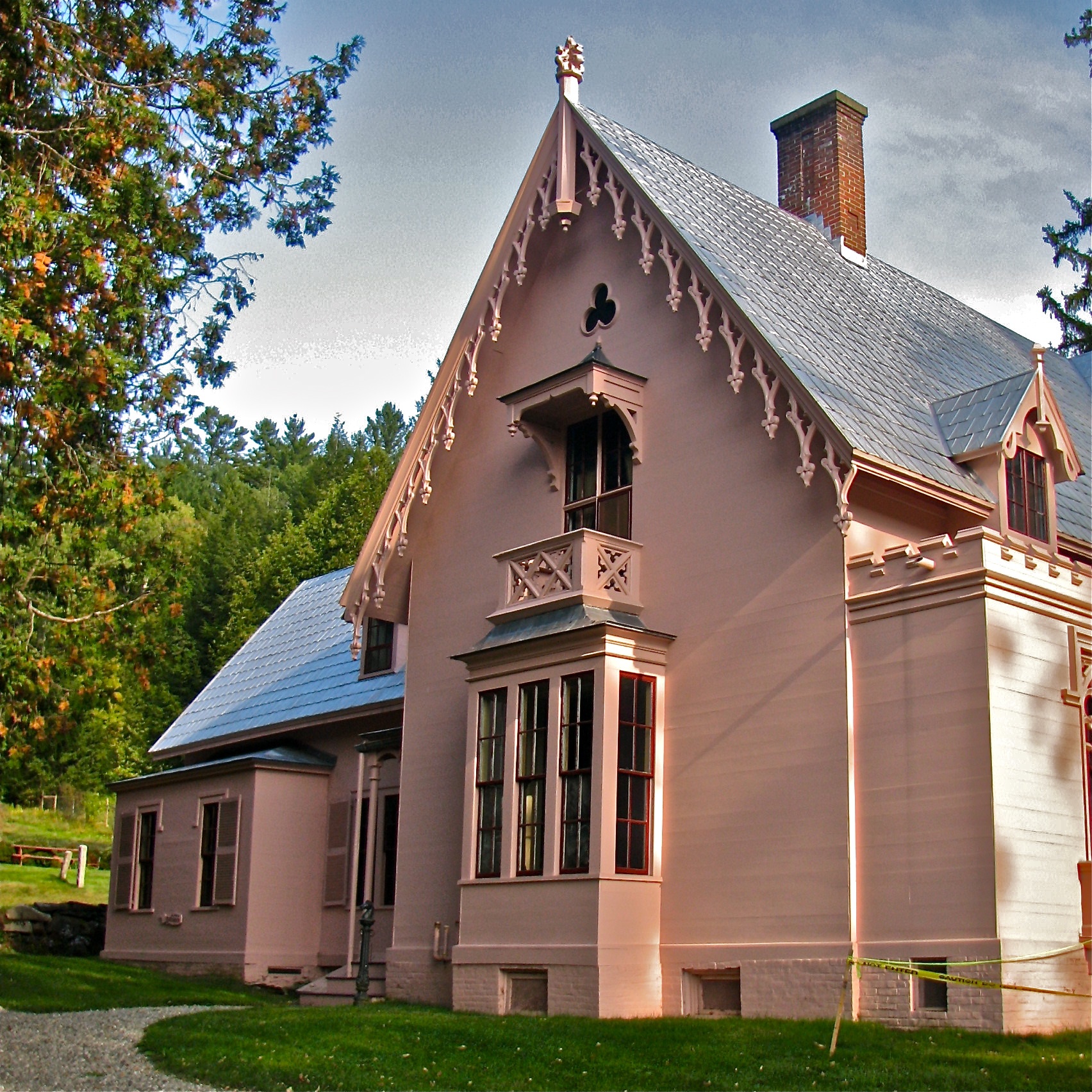
J.S. Morrill Homestead (1848-51) – north side
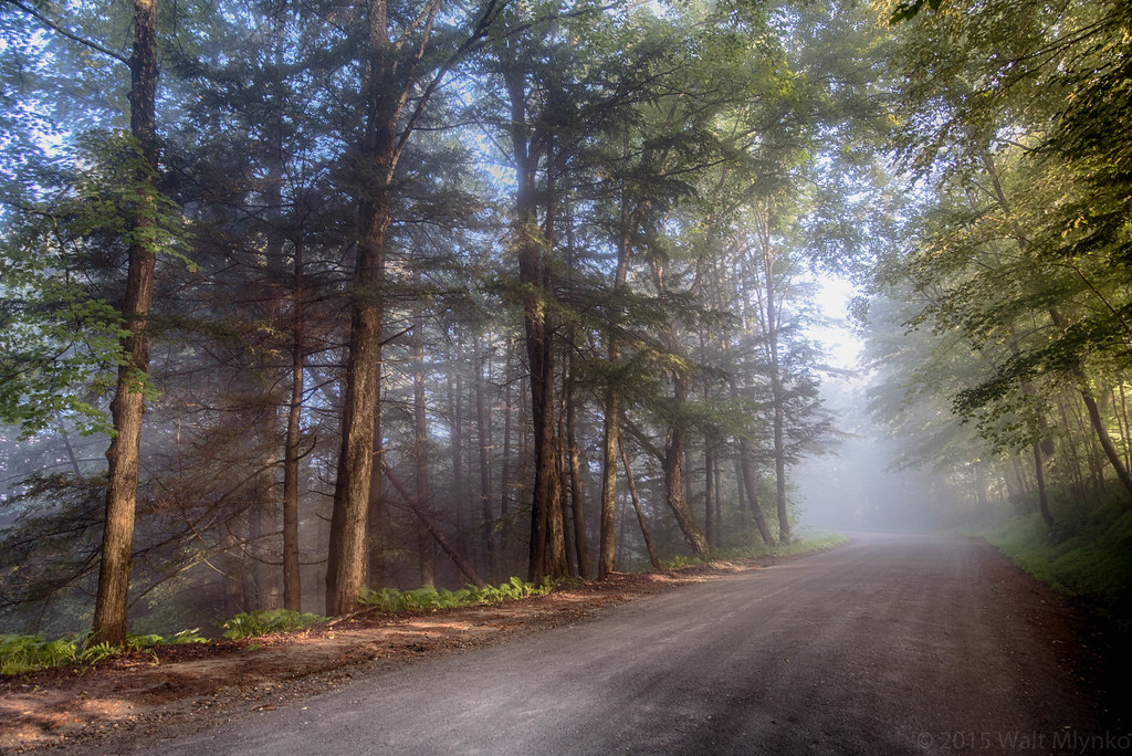
sunrise scenic qacc
Foggy Morning
uploaded:by=flickrmobile flickriosapp:filter=nofilter
Ice jam on the White River
justinsmithmorrill justinsmithmorrillhomestead 1848 1851 ussenator uscongressman landgrantact morrillacts gothicrevival architecture historic straffordvermontusa strafford vermont usa orangecounty nationalhistoriclandmark 98001267 nhl 09221960 nationalparkservice nps nationalregisterofhistoricplaces 66000795 nrhp 10151966 preservationtrustofvermont vermontdivisionforhistoricpreservation vermontstatehistoricsites vshs donshall origamidon
J.S. Morrill Homestead (1848-51) – VT State Historical Marker
2017-09-15_09-27-56
landscape vermont december fields bethelvt
December Cornfield
square nashville ottawa squareformat ottawainternationalanimationfestival oiaf iphoneography instagramapp uploaded:by=instagram foursquare:venue=4c5ee69f7f661b8d7a404f1c
It's all, like, rural and scenic and junk around here.
green clouds spring vermont zoom barrel twist golfcourse vt randolph montague canon40d
In Zoom