Elevation of Fish Hill Rd, Randolph, VT, USA

Location: United States > Vermont > Orange County > Randolph >

Longitude: -72.626018

Latitude: 43.907374

Elevation: 372m / 1220feet

Barometric Pressure: 97KPa

Elevation Map:

elevation map of Fish Hill Rd, Randolph, VT, USA

Satellite Map:

Satellite map of Fish Hill Rd, Randolph, VT, USA

Related Photos:

thanksgiving november blue trees winter sky white mountain snow mountains green fall nature beautiful beauty clouds landscape cabin nikon vermont hills 2008 vt niels winterscape d300 mountainous 18200mm southroyalton nosha november2008 thanksgiving2008 nielstrish vermontcabin
Vermont Winter Landscape
vermont oldbuildings randolph allenhouse nutting schoolbuildings normalschool vermonttechnicalcollege vermonthistory orangecountygrammarschool randolphcentervt hartnesslibrarycollection
Main Street postcard 1907
vsa vtc vermonttech renovatedfarmbuildings
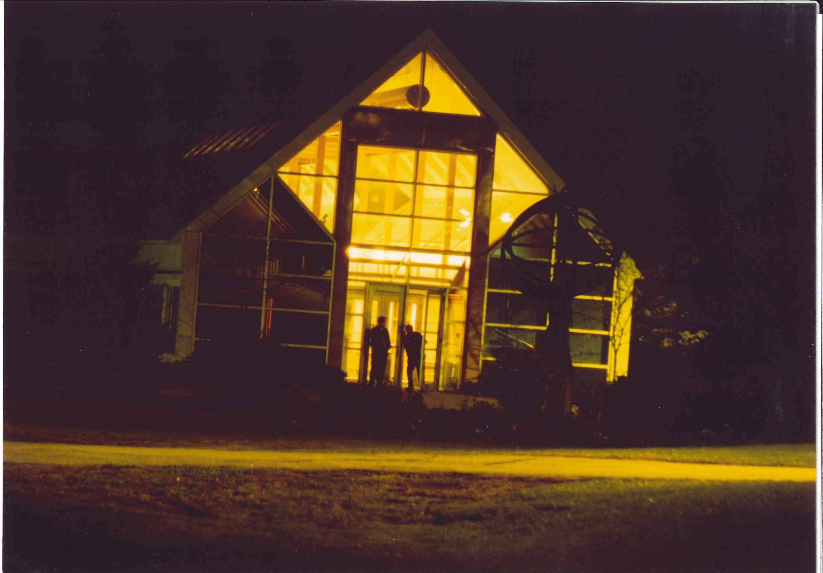
VTC Admin bdlg South Entr at night
vermont 1940s colleges vsa olddorm vtc vermonttechnicalcollege randolphvermont vermontschoolofagriculture hartnesslibrarycollection
VSA 1940's Dormitory
alfloydscollection randolphcenter vermont
Scenic View from NE copy
blue vermont view farm goose east randolph
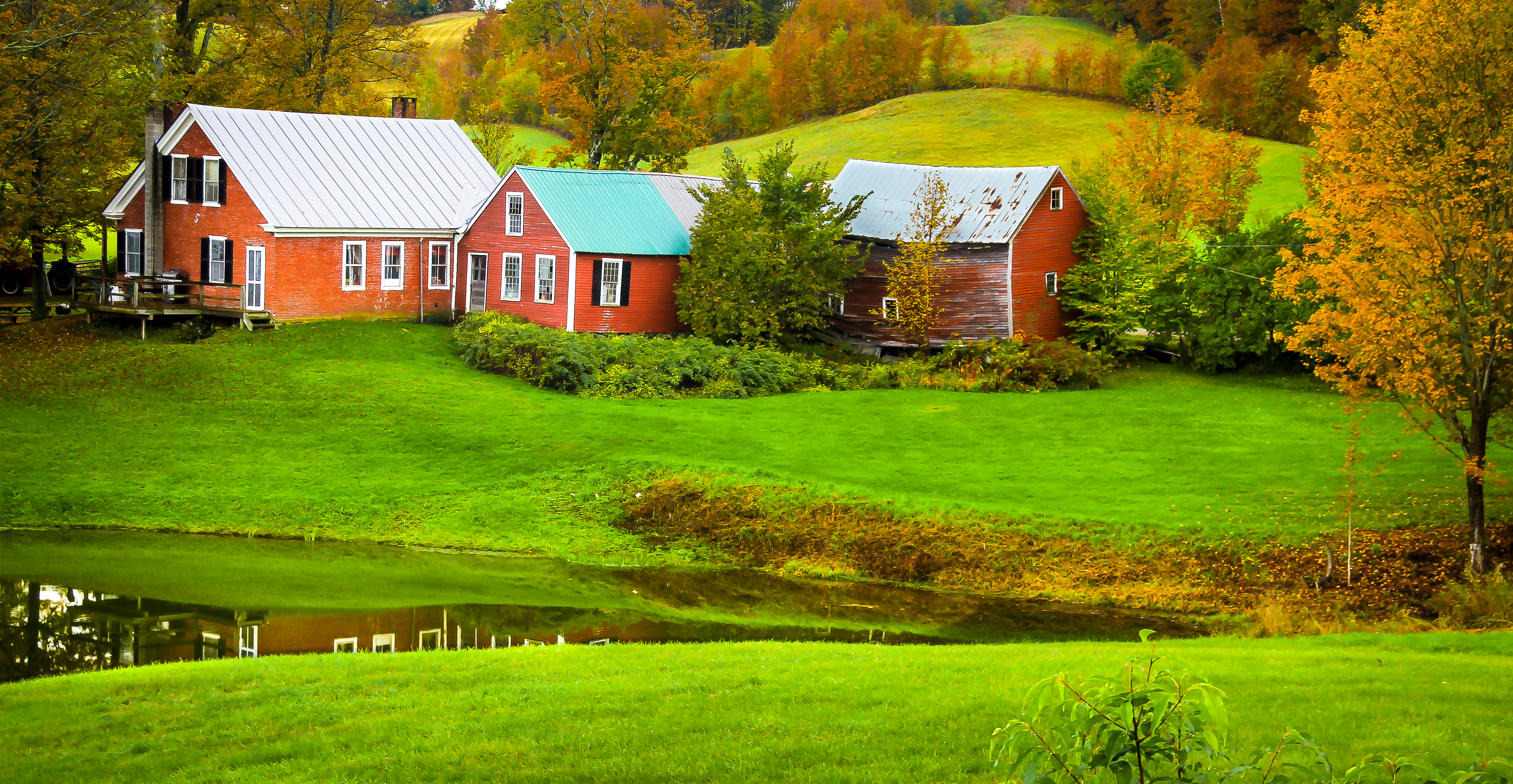
Blue Goose Farm View
mountains randolph vermont 1990s hartnesslibrarycollection
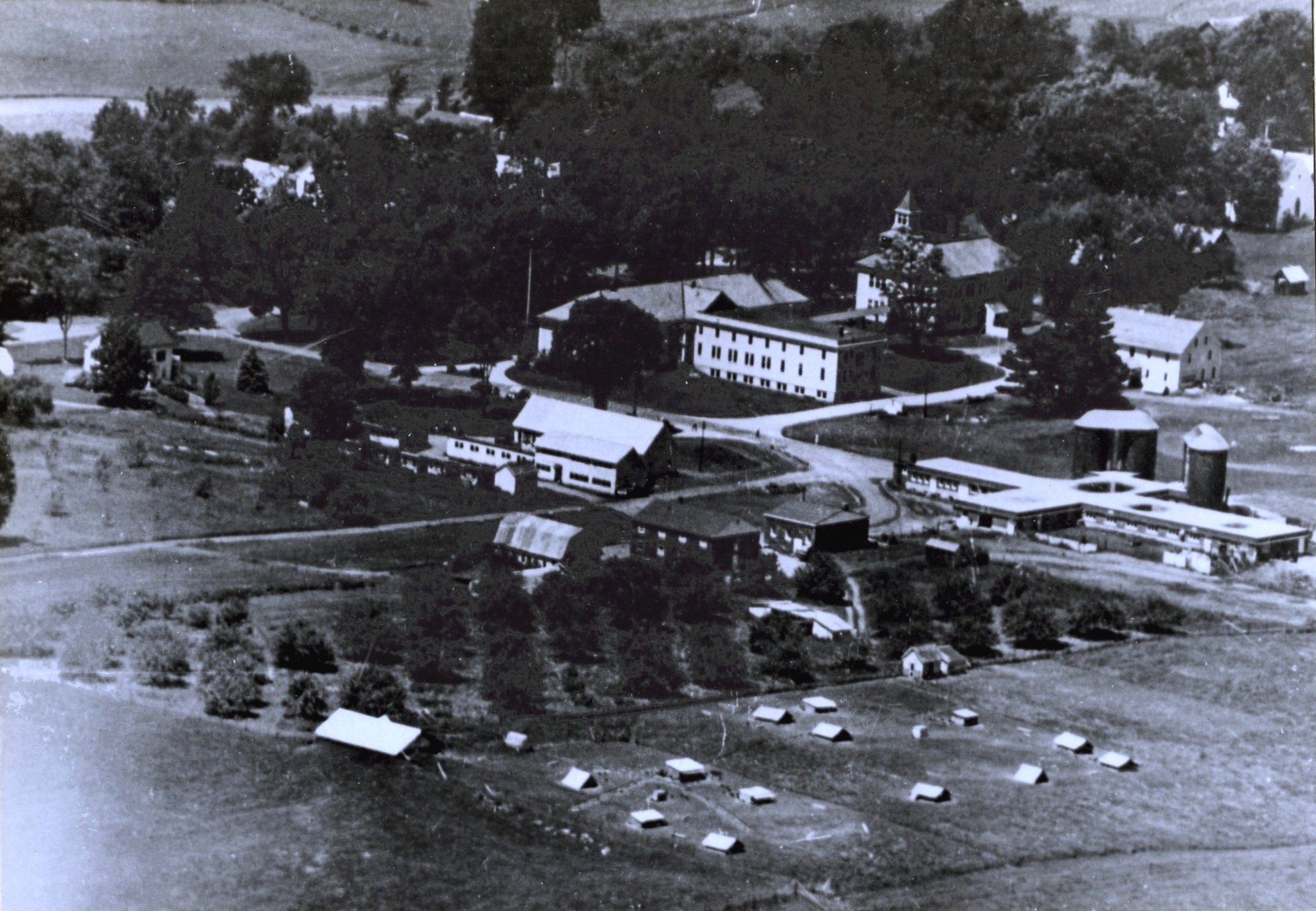
Aerial View of Randolph Center 1990s
rochester vermont unitedstates us
View from Rochester Ranger Station, Ranger Road
rochester vermont unitedstates us
View from Rochester Ranger Station, Ranger Road
vsa vermontschoolofagriculture vermonthistory randolph campusviews hartnesslibrarycollection winter
View from VSA Campus
rochester vermont unitedstates us
View from Rochester Ranger Station, Ranger Road
fall vermont newengland canon60d platinumheartaward jennyfarm mygearandme
Jenny Farm Vermont
portrait yellow hair bokeh caterpillar antennae larva mandibles southroyaltonvermont
Yellow Caterpillar; Orgyia definita?
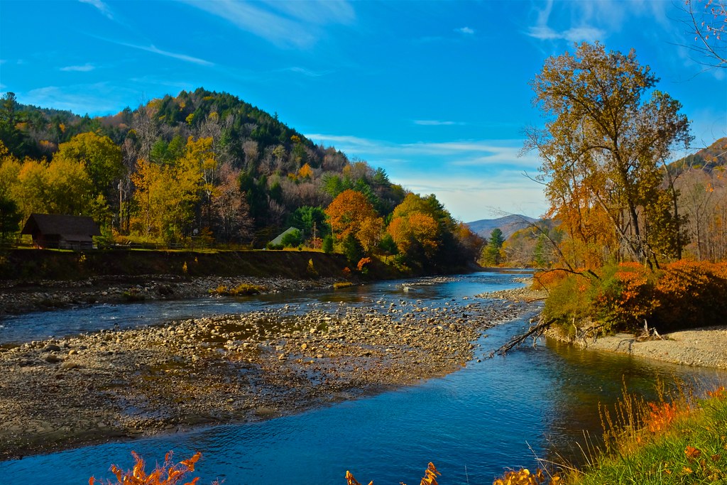
summer green water river vermont whiteriver southroyalton nikond200
White River Summer
vati 1950s aerialshots randolph vermonthistory campus campusviews hartnesslibrarycollection
VATI Campus late1950's
vsa vermontschoolofagriculture 1940s randolph vermonthistory campus campusviews aerialshots hartnesslibrarycollection
VSA Campus late1940's
vsa vtc vermonttech renovatedfarmbuildings
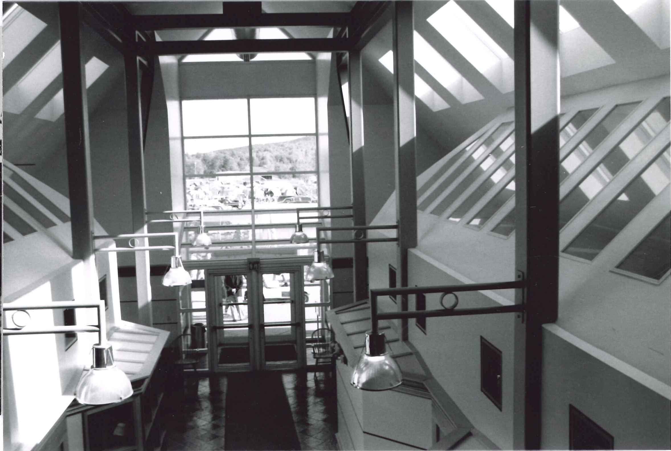
VTC Admin bldg Interior North entrance
vermont oldbuildings randolph allenhouse nutting schoolbuildings normalschool vermonttechnicalcollege vermonthistory orangecountygrammarschool hartnesslibrarycollection
Allen house
river vermont walk whiteriver vt bethel bethelvt
River-level view
campuslife 1960 surveying mechanicalengineering metallurgy vermonttechnicalcollege 19801990 appliedlearning vermonttech
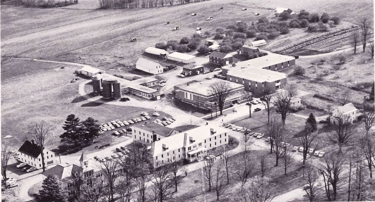
Campus air view 1963
southroyaltonhouse southroyalton vermont greekrevival inn nikon d200 50mmf14nikkor
South Royalton House
2017 adventure airbnb april deepquarry greenmountains inbloom industrial industry landscape marble mining mountains naturalresources quechee rochester spring stone travel travelcats trip vermont vermontverdeantique weekend serpentinestone unitedstates us
.
vermont usa scenery trees woods lakes
McIntosh Pond
vt vermont us usa unitedstates cemetery cimetière newengland étatsunis licensed getty exclusive
Hutchison Cemetery
vermont vt orangecounty randolphtown eastrandolph statehighwaysigns statesigns landscapes newengland northamerica unitedstates us
Vermont State Highway 14 (East Randolph, Vermont)
usa cemetery us vermont unitedstates newengland vt cimetière étatsunis
Cemetery in Randolph, VT
food vermont farm 2006 fields royalton royaltonvt fourspringfarms fireflyfestival
Uphill View of the Farm
park autumn trees white mountains color green tower fall leaves forest fire vermont state panoramic views brookfield vt allis
Dairy Farm
2016 canon canon6d canonef2470mmf28liiusm chelsea davetrono moxleybridge moxleycoveredbridge moxleyroad newengland vt vermont whiteriver autumn bridge coveredbridge fall fallcolors fallfoliage foliage geotagged landscape trees
Autumn at the Moxley Covered Bridge
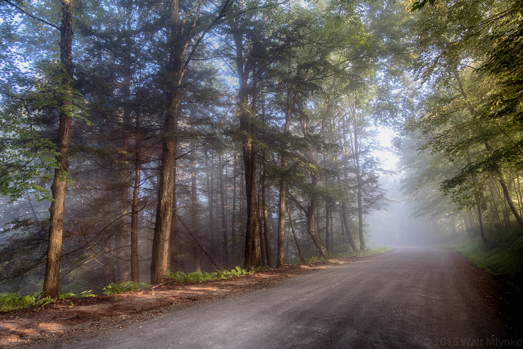
sunrise scenic qacc
Foggy Morning
2017-09-15_09-27-56
red summer green water reflections landscape vermont barns brookfield floatingbridge
red barn from the floating bridge
bridge mill vermont covered hayward vt tunbridge noble springroad sigma1020mmf35exdchsm
Mill Covered Bridge
Bare apple tree on a foggy morning with the sun
vermont stockbridge
Stockbridge Lakeview
brookfield d7000 floatingbridge route65 sigma1224mm sunsetlake vermont
Sunset Lake Floating Bridge
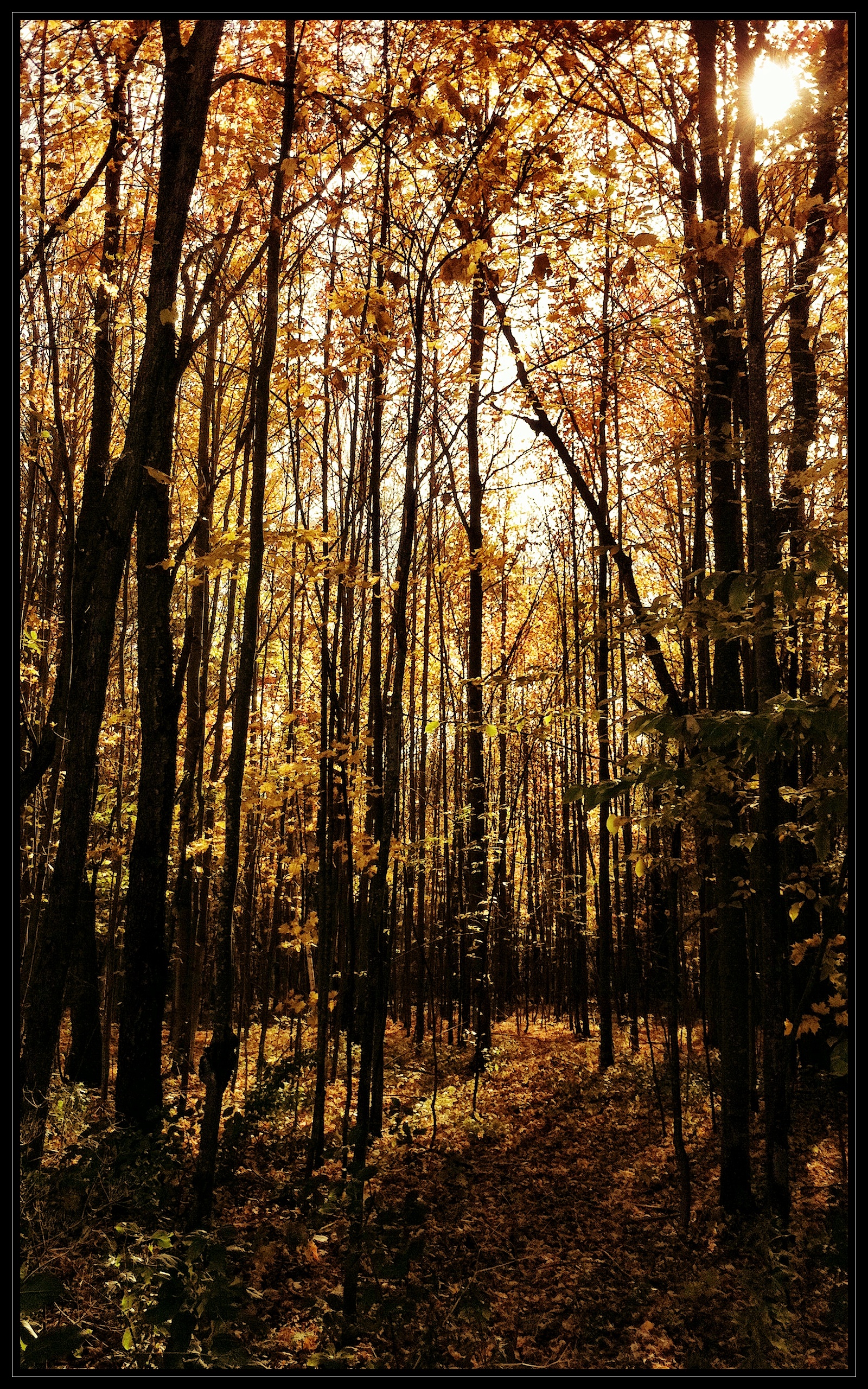
fall mobile woods vermont foliage randolph iphone
Through the Woods
vermont stockbridge
Vermont Landscape
ontario fry connecticut lakes salmon greatlakes whiteriver watershed service restoration erie trout population usfws parr connecticutriver laketrout hatchery fishhatchery usfishandwildlifeservice atlanticsalmon arra stimulus recoveryact americanrecoveryandreinvestmentact whiterivernationalfishhatchery populationrestoration lowergreatlakes
White River National Fish Hatchery
usa landscape us vermont unitedstates newengland vt étatsunis
Vermont Landscape