Elevation of Randolph Center, Randolph, VT, USA
Location: United States > Vermont > Orange County > Randolph >
Longitude: -72.607092
Latitude: 43.9407223
Elevation: 419m / 1375feet
Barometric Pressure: 96KPa
Elevation Map:
Satellite Map:
Related Photos:
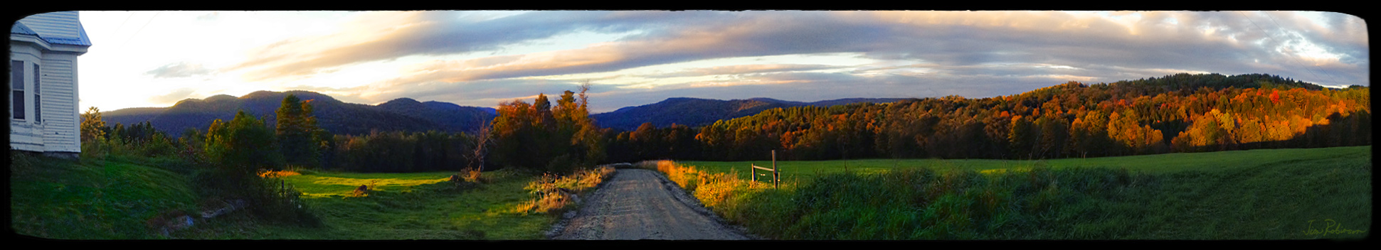
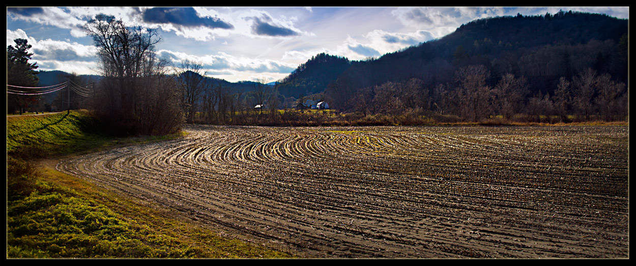
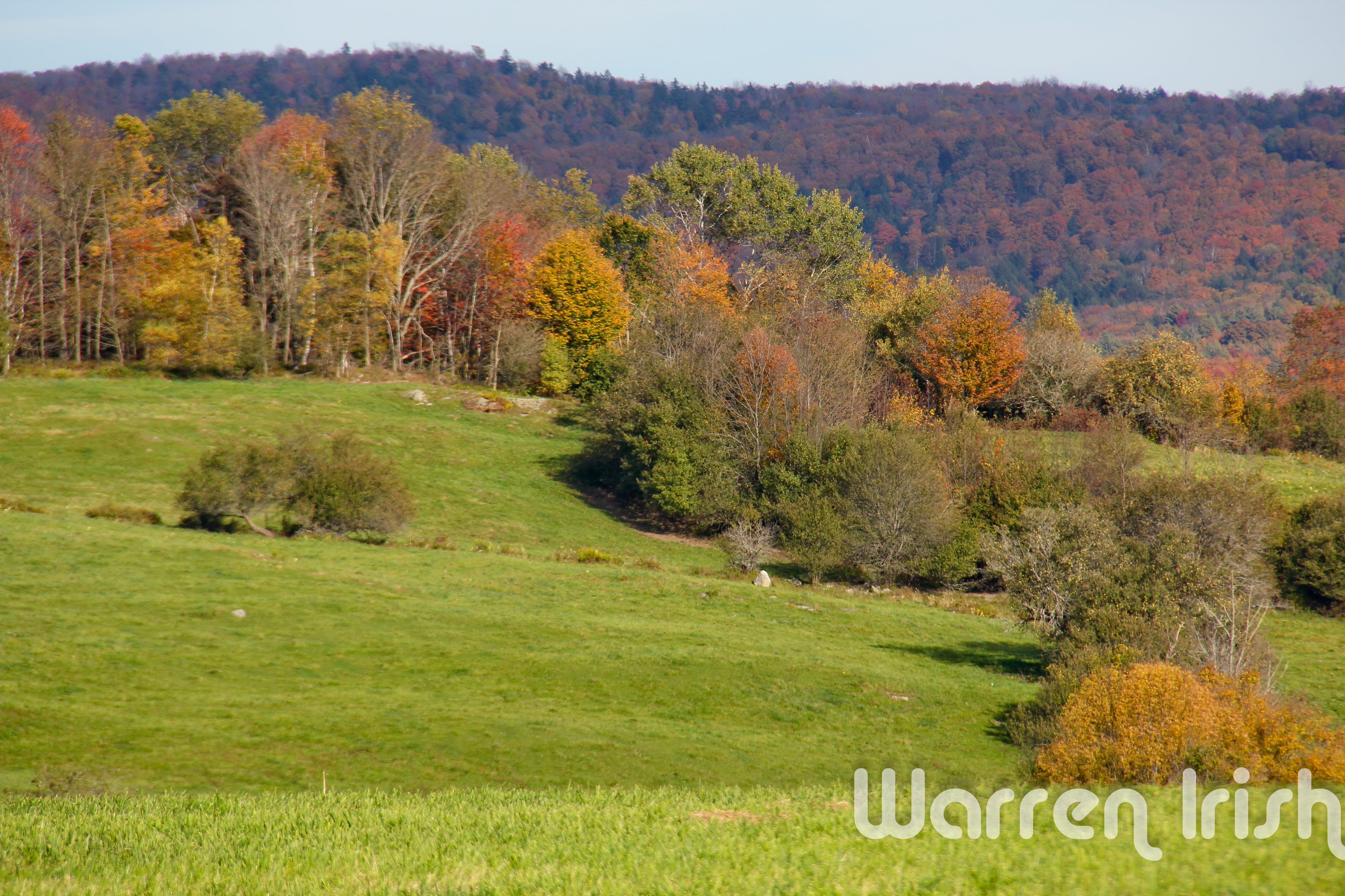
a View from Braintree Hill Road
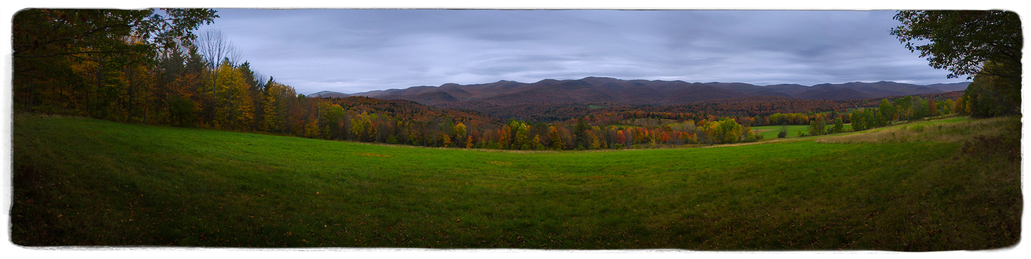
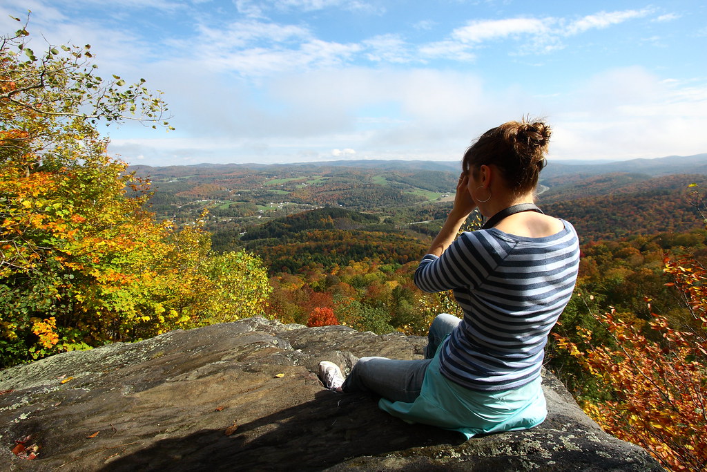
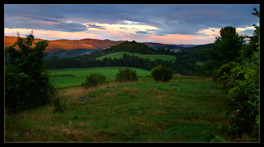
Room with an Autumnal View
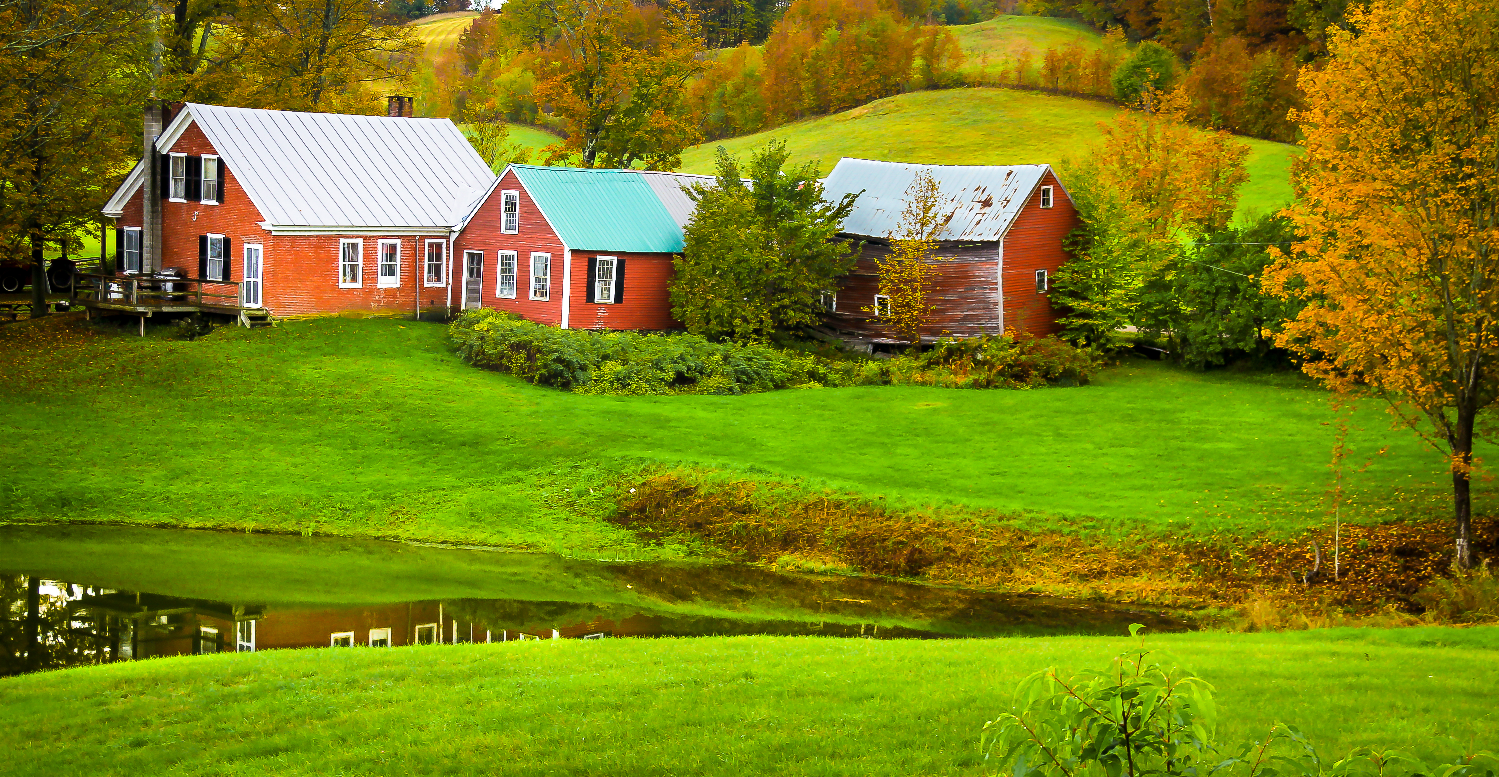
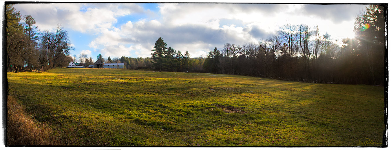
Jenny Farm Vermont
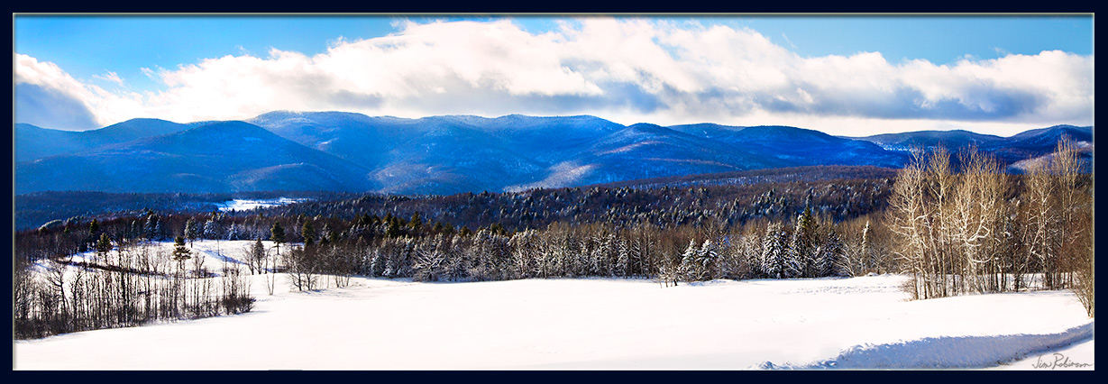
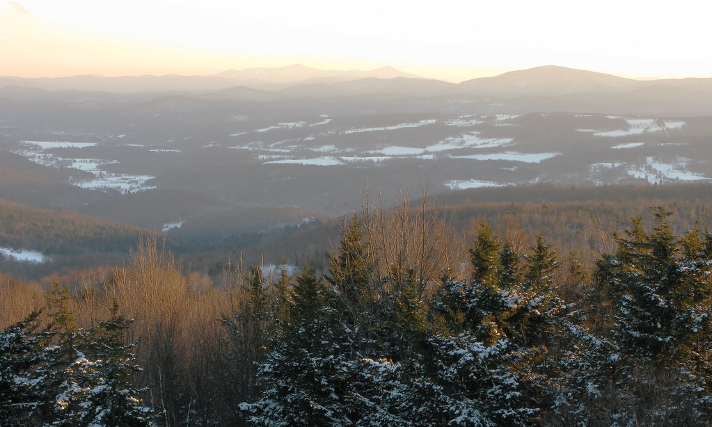
Vermont Winter Landscape

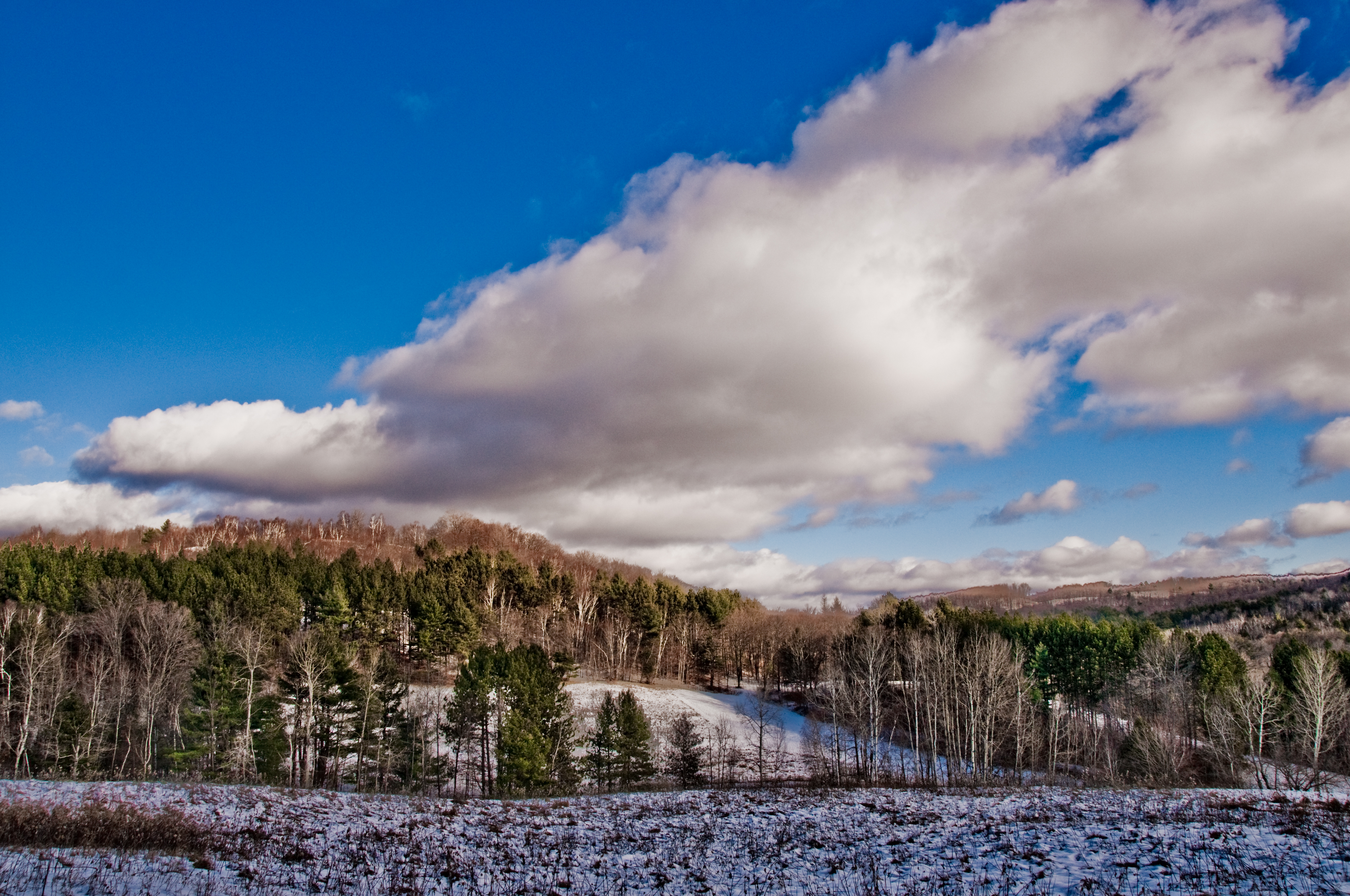
winter's closing in on us
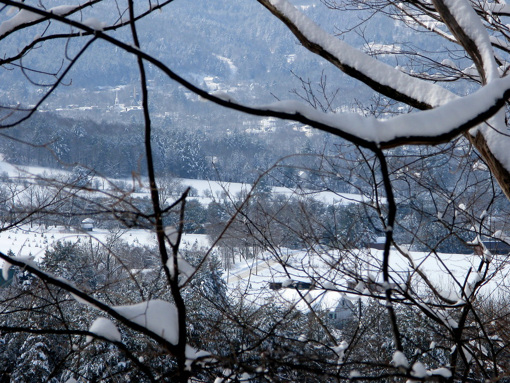
View Through The Trees

Yellow Caterpillar; Orgyia definita?
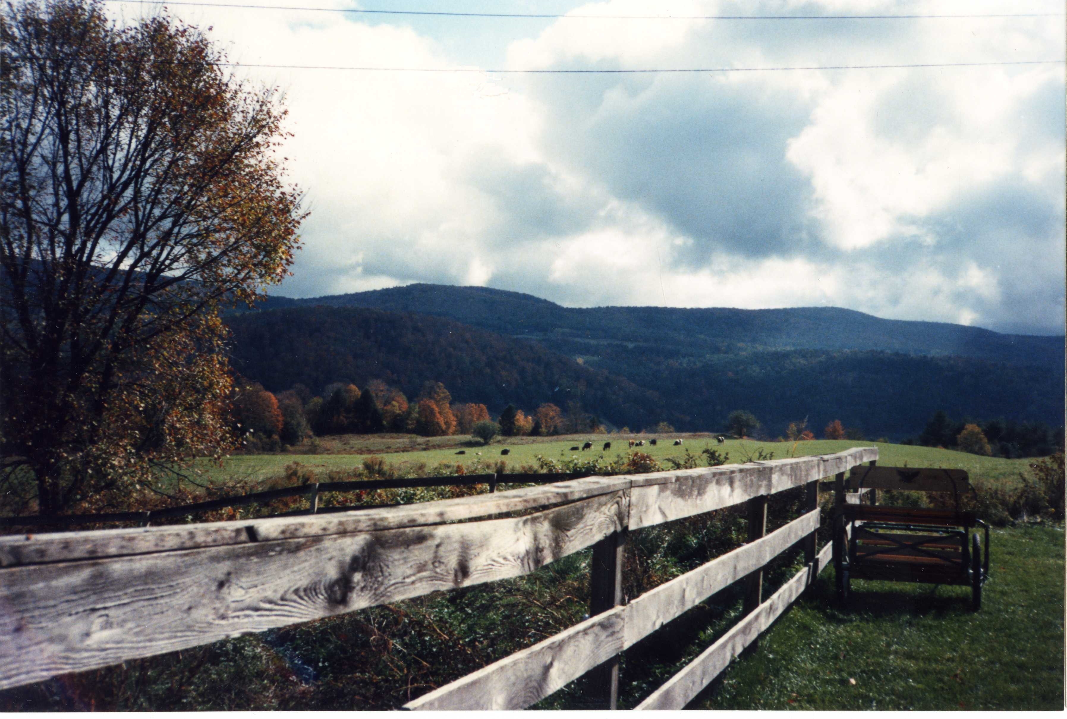
a Grand View with Rain Clouds
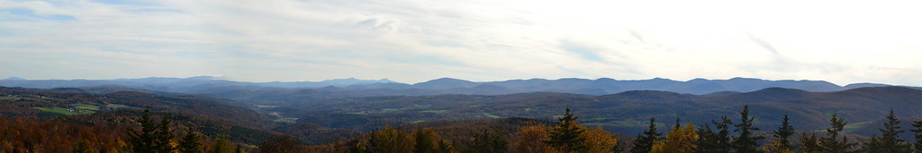
SW Panorama
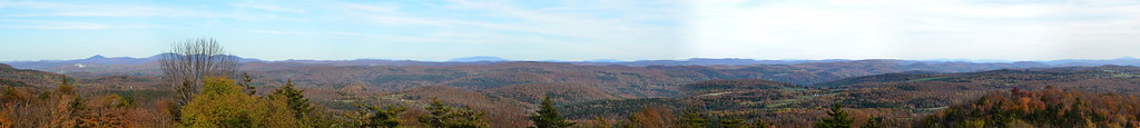
Eastern Panorama
Blue Goose Farm View

Mixed foliage
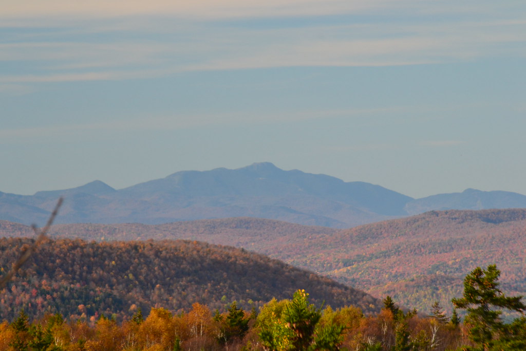
Mt Mansfield

Nearing The Ledge

May 21, 2006 Sky
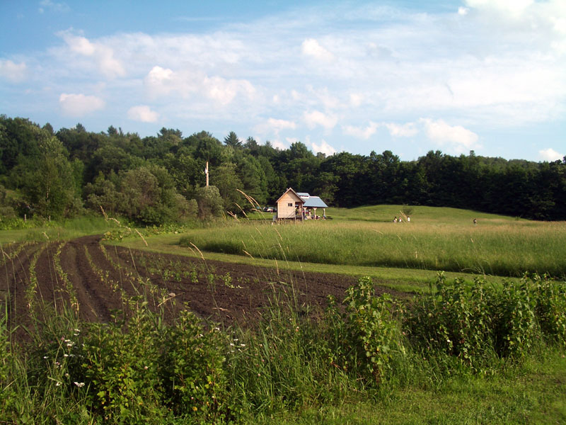
Uphill View of the Farm
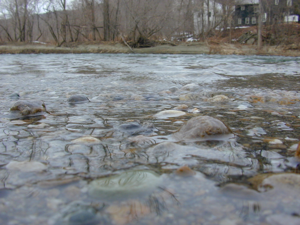
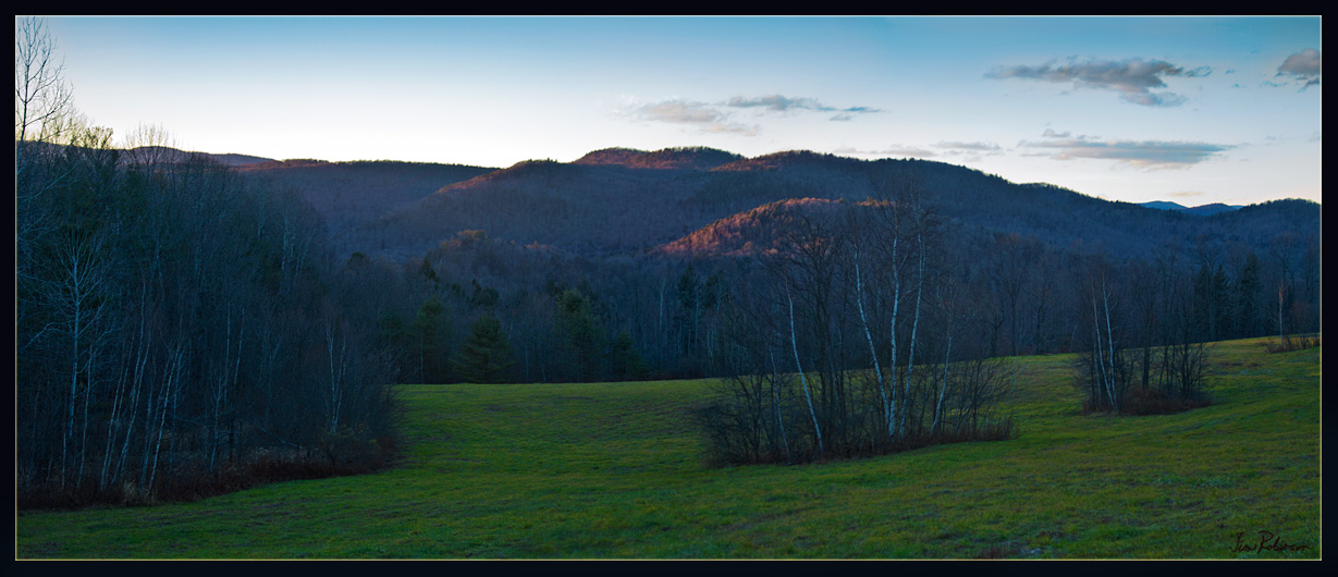
River-level view

Vermont Valley

View NW
Allis State Park Views to Killington
Taking A Picture Up On Kent's Ledge

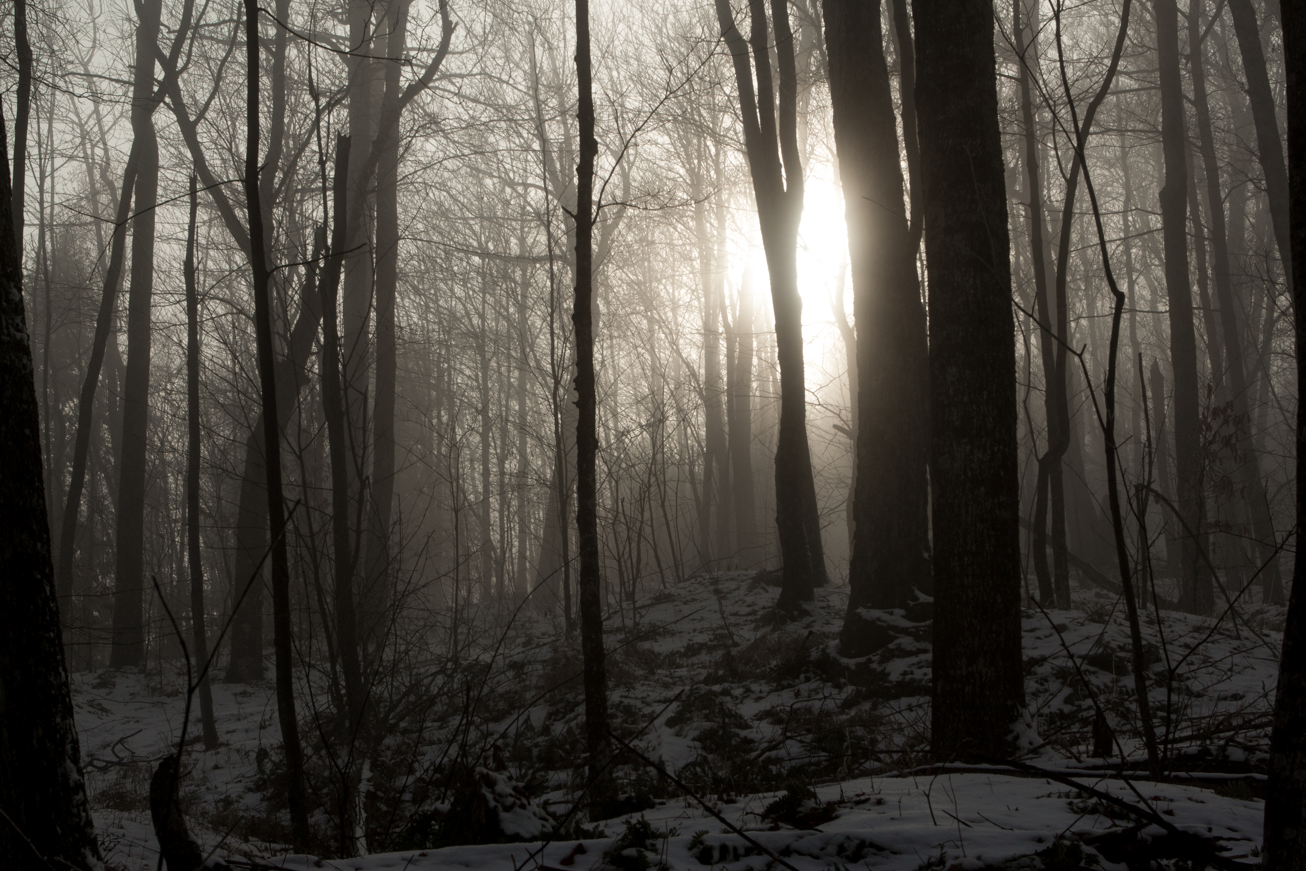
Through the Woods
Afternoon Light in Late November
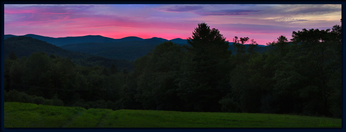
the After Glow
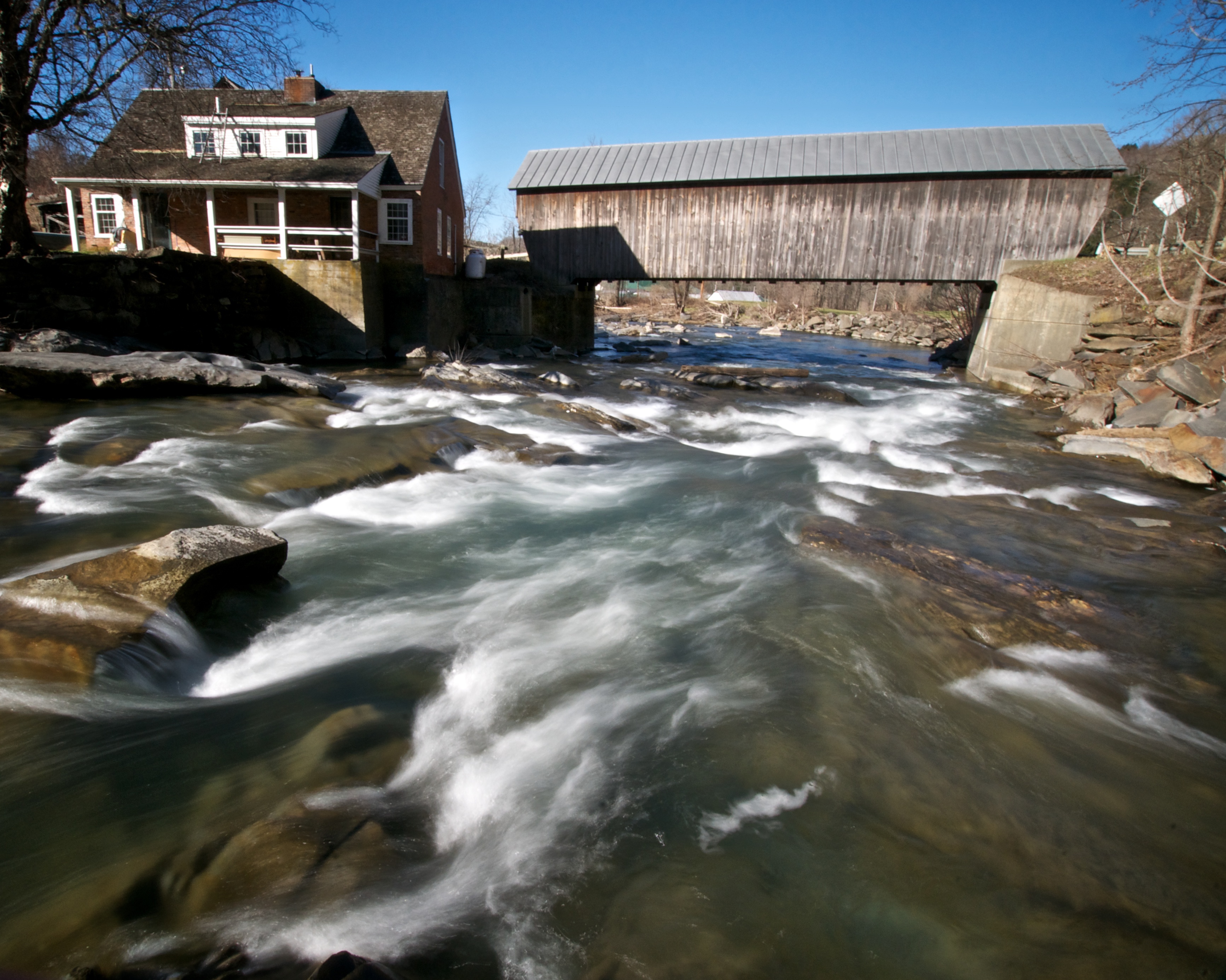
Mill Covered Bridge

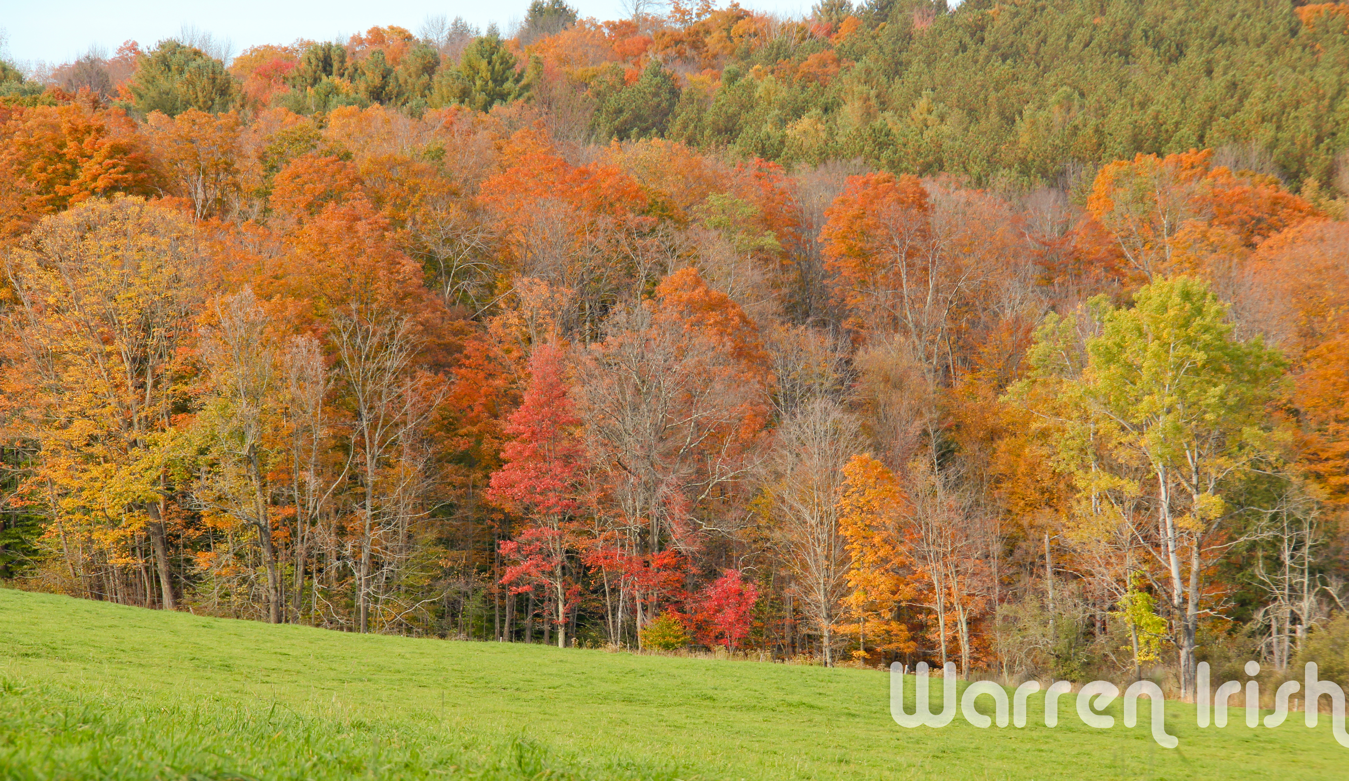
2013 Foliage_21
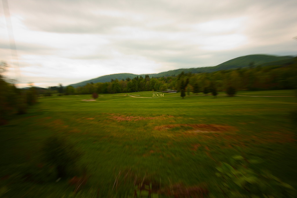
In Zoom
2013 Foliage_22
a few Seconds before Sunset

red barn from the floating bridge
November Sun
Looking Southeast at Sunset
Lost in the Woods
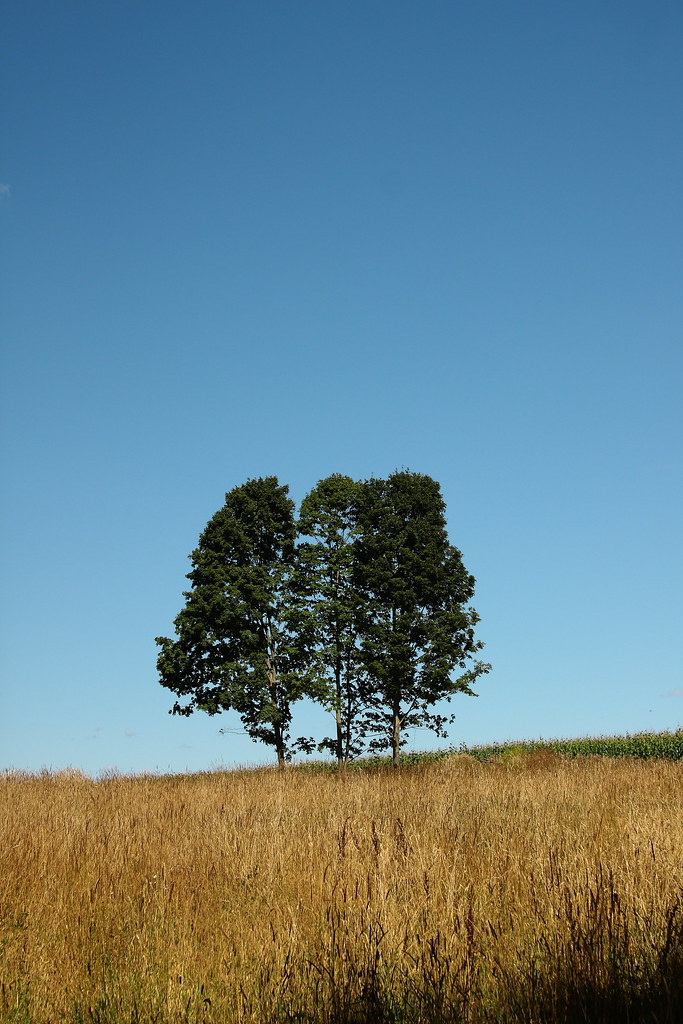
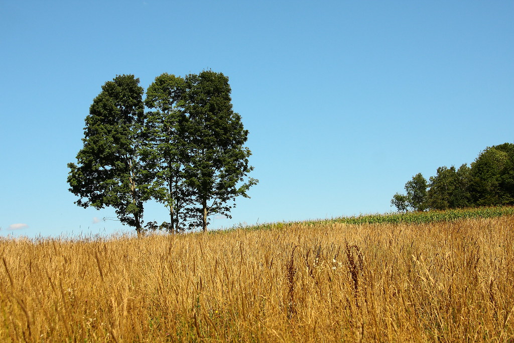
Three Trees in a Field
2013 Foliage_37
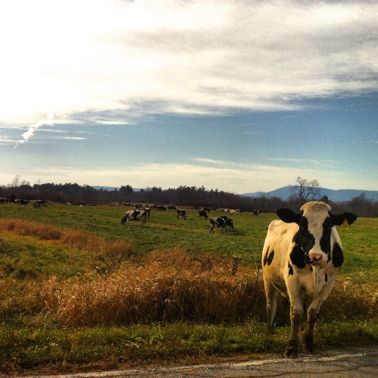
Cows of Vermont
Jessamyn's Bike took a picture!
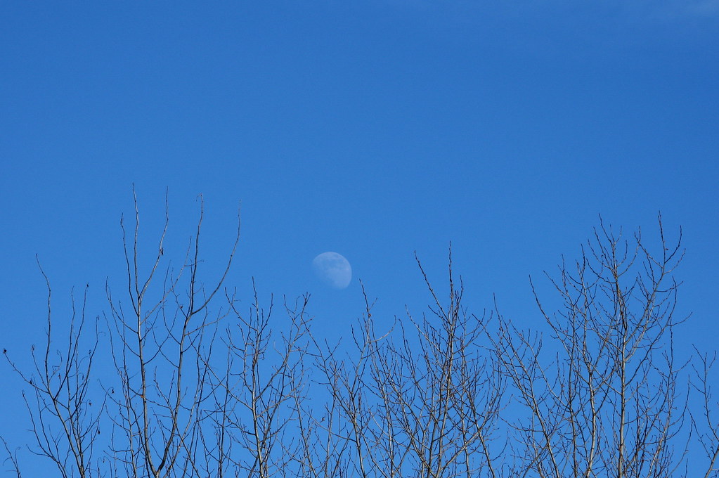
Moon Rising Above Bare Trees
Field of Warmth
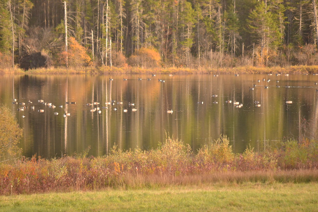
Canadian Geese
Topographic Map of Randolph Center, Randolph, VT, USA
Find elevation by address:

Places near Randolph Center, Randolph, VT, USA:
2920 Main St
2771 Vt-66
Vermont Technical College
581 E Bethel Rd
1674 E Bethel Rd
465 Sunset Hill Rd
2275 Fish Hill Rd
2983 E Bethel Rd
100 Vt-14
100 Vt-14
24 Central St
30 Pleasant St
Randolph
4301 Pleasant St
2546 Christian Hill Rd
1068 Vt-12a
162 Allen Dr
124 Clarksville Rd
211 Spring Rd
20 Johnson Cir
Recent Searches:
- Elevation of Leyte Industrial Development Estate, Isabel, Leyte, Philippines
- Elevation of W Granada St, Tampa, FL, USA
- Elevation of Pykes Down, Ivybridge PL21 0BY, UK
- Elevation of Jalan Senandin, Lutong, Miri, Sarawak, Malaysia
- Elevation of Bilohirs'k
- Elevation of 30 Oak Lawn Dr, Barkhamsted, CT, USA
- Elevation of Luther Road, Luther Rd, Auburn, CA, USA
- Elevation of Unnamed Road, Respublika Severnaya Osetiya — Alaniya, Russia
- Elevation of Verkhny Fiagdon, North Ossetia–Alania Republic, Russia
- Elevation of F. Viola Hiway, San Rafael, Bulacan, Philippines