Elevation of Dustin Dr, Sharpsburg, MD, USA
Location: United States > Maryland > Washington County > 20, Downsville >
Longitude: -77.795917
Latitude: 39.512049
Elevation: 135m / 443feet
Barometric Pressure: 100KPa
Elevation Map:
Satellite Map:
Related Photos:
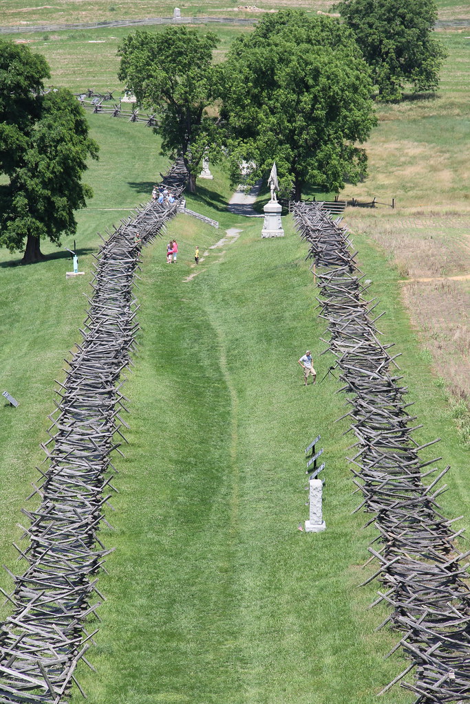
Antietam National Battlefield - View of Bloody Lane from the Observation Tower
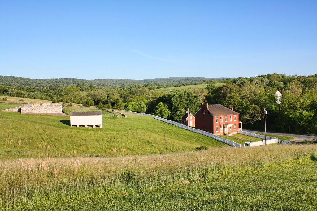
Sherrick Farm
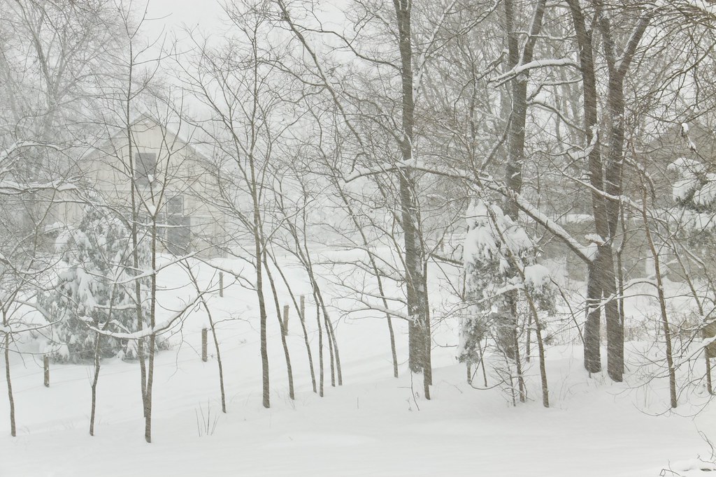
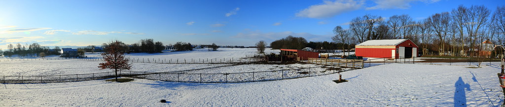
Today's Obligatory Snow Picture
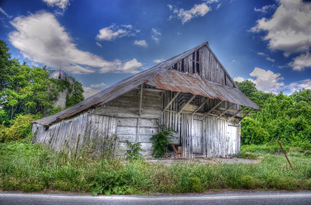
Rural Decay
Upstream view of Town Run, Shepherdstown, West Virginia
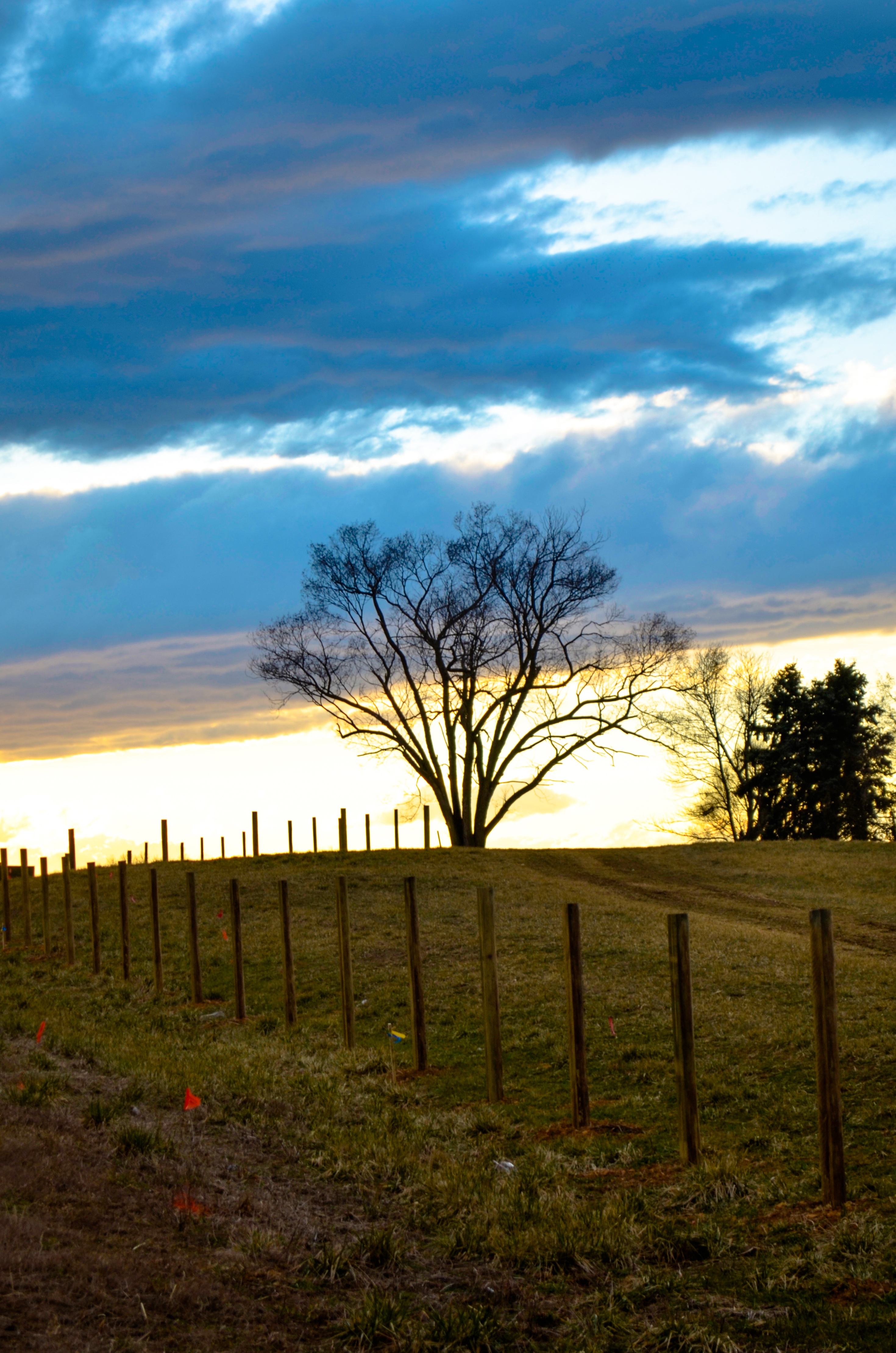
field-sunset
0189 Shepherdstown, WV
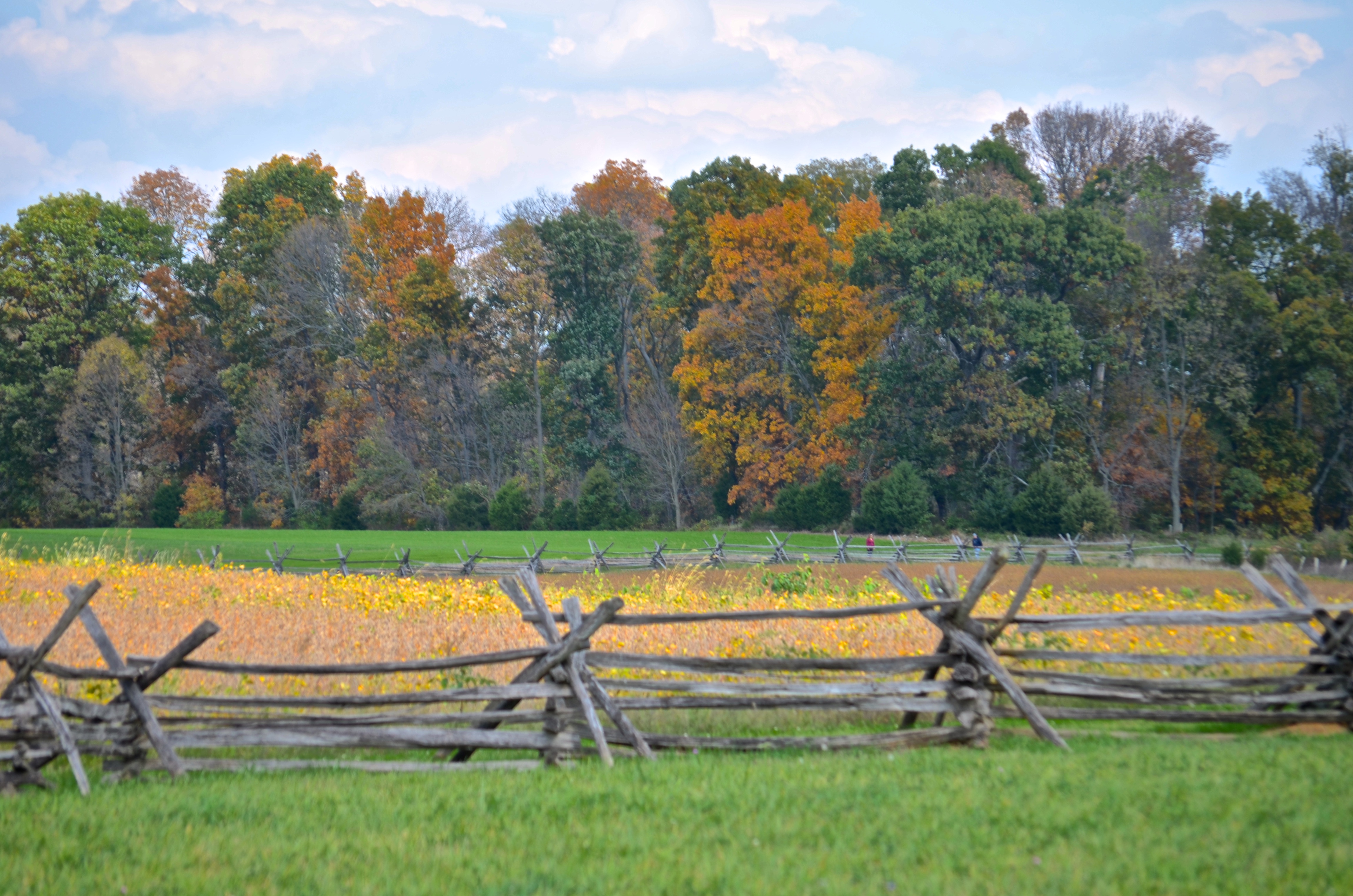
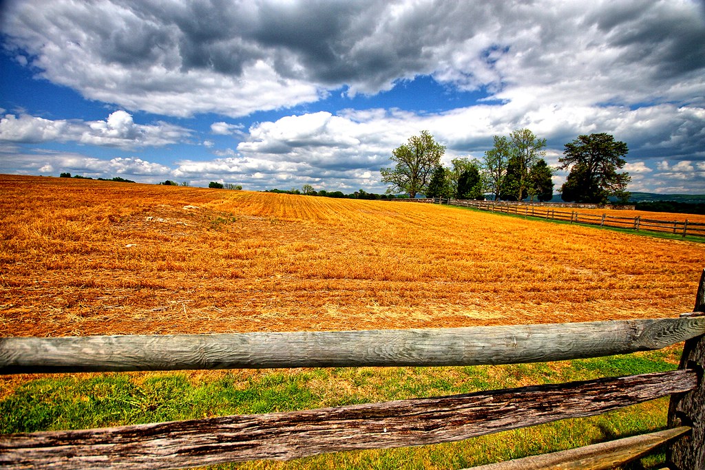
Cornfield, Antietam, rail fence
Bloody Lane, Antietam
view from the James Rumsey (Sheperdstown Pike) Bridge

_RWB6124.jpg

Back Alley view (behind German Street)
View out another window

_RWB6215-Edit-Edit-2-Edit-Edit.jpg
Burnside's Bridge, Antietam Creek
View from the Mumma Farm
Burnside's Bridge

Conococheaque Aqueduct Arch
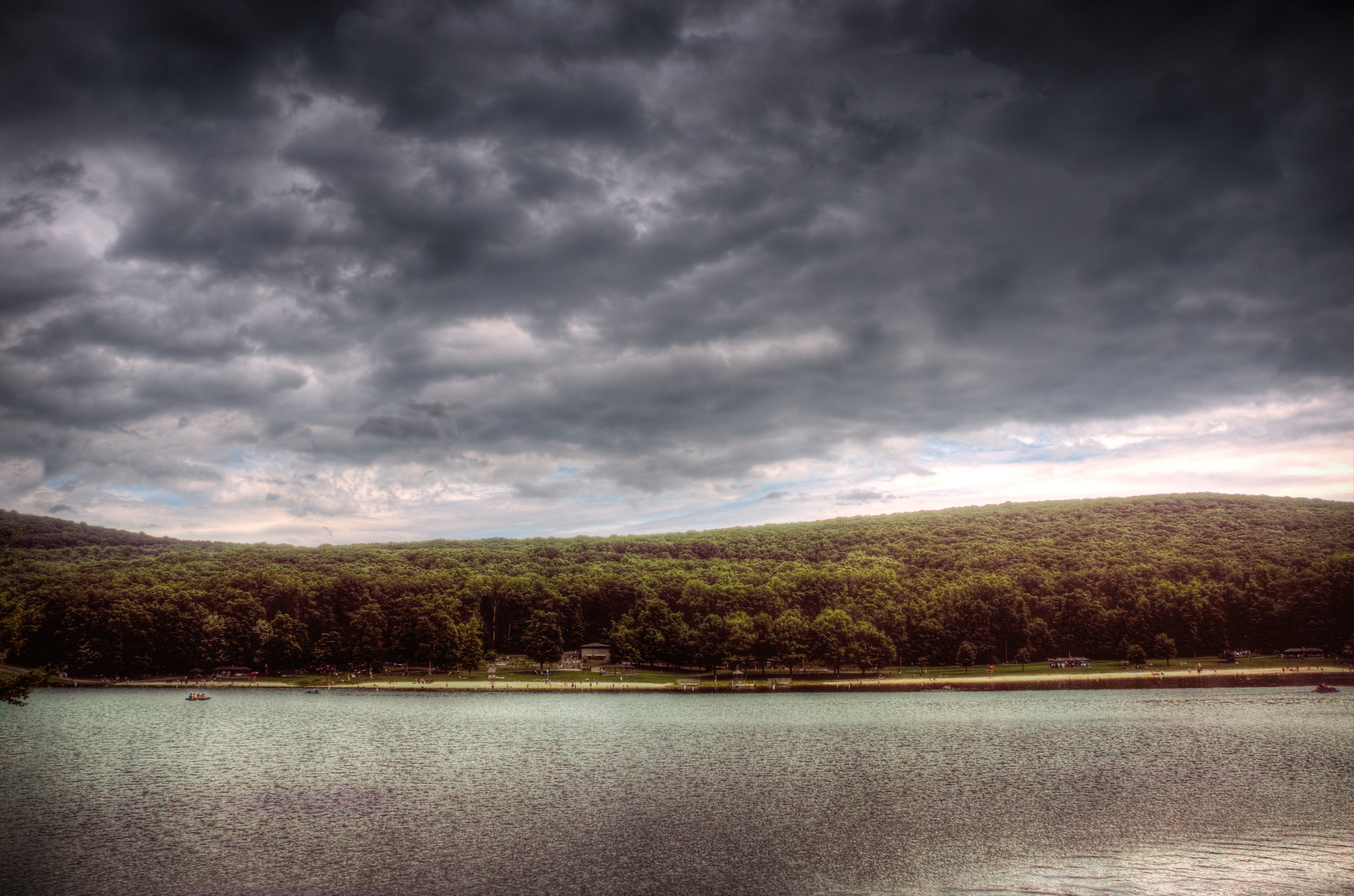
Greenbriar Lake
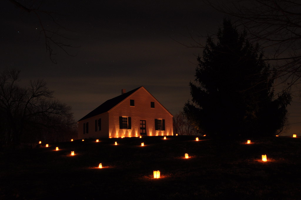
Behind Dunker Church
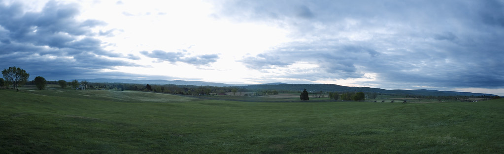
3 shot Pano of the Antietam Battlefield
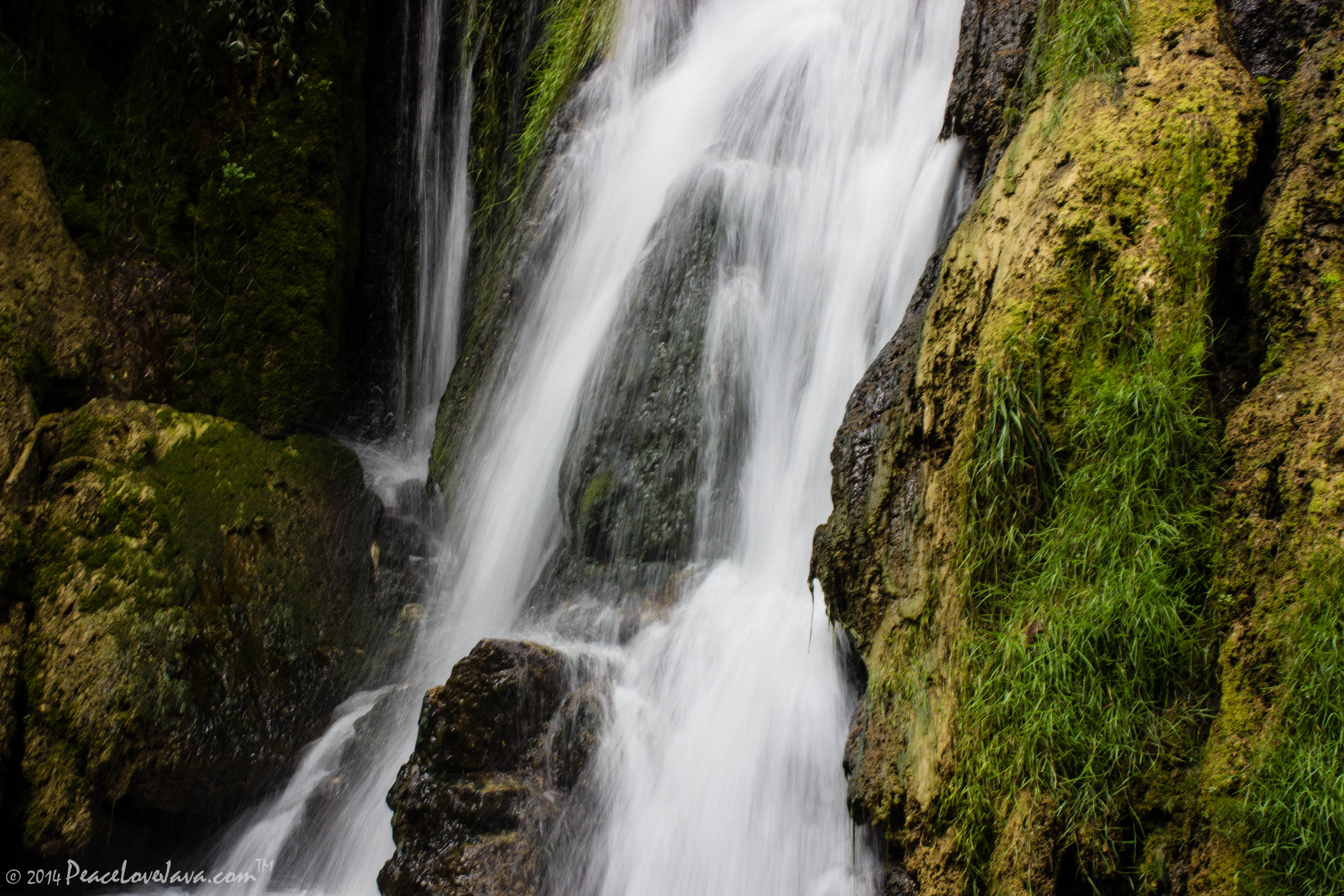
Falling Waters Falls Closeup

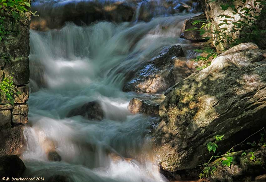
Falling Waters Falls
0012 C&O Canal Towpath, MD

0461 Red-bellied Woodpecker, Shepherdstown, WV
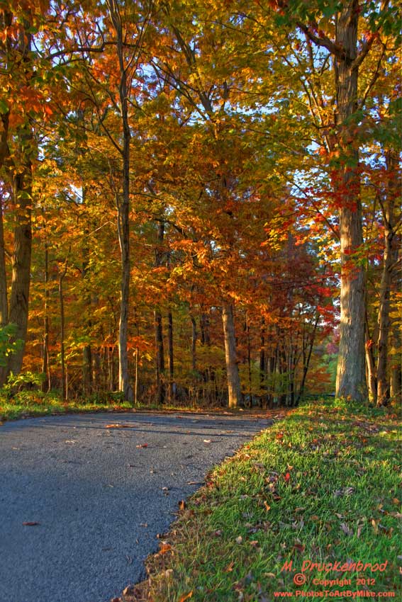
An Autumn Drive
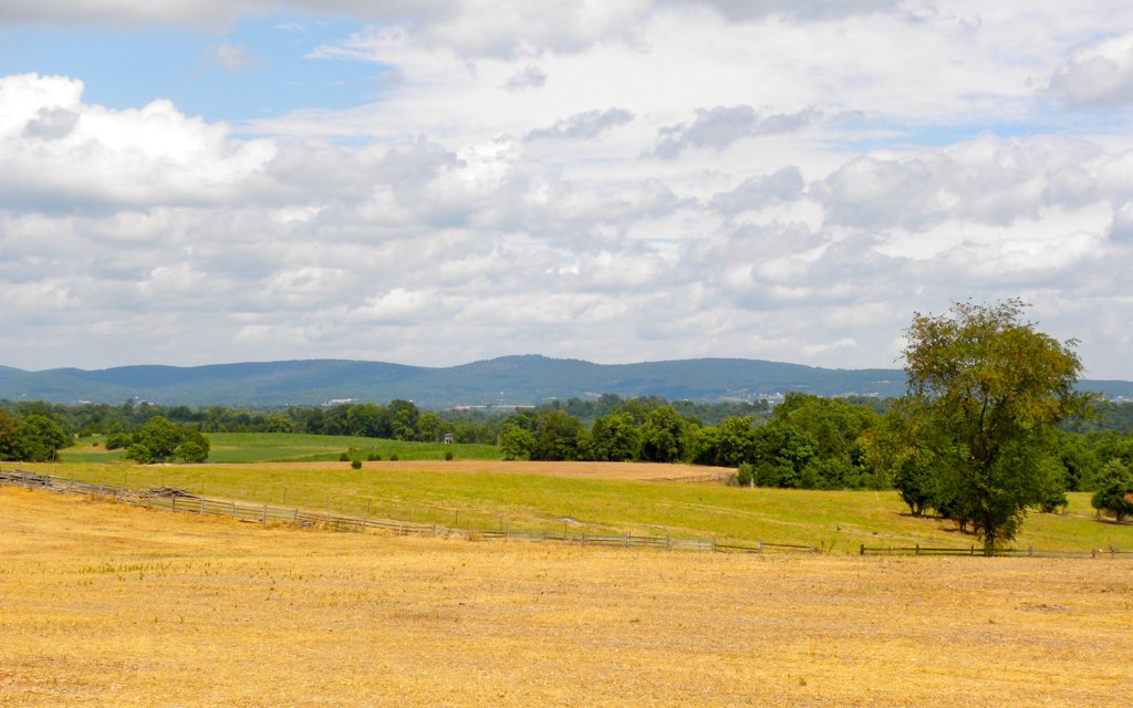
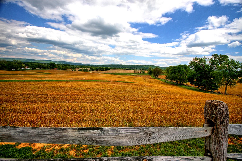
Agriculture is never far away II
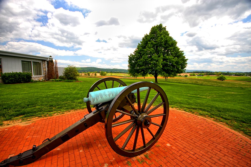
Brick and canon
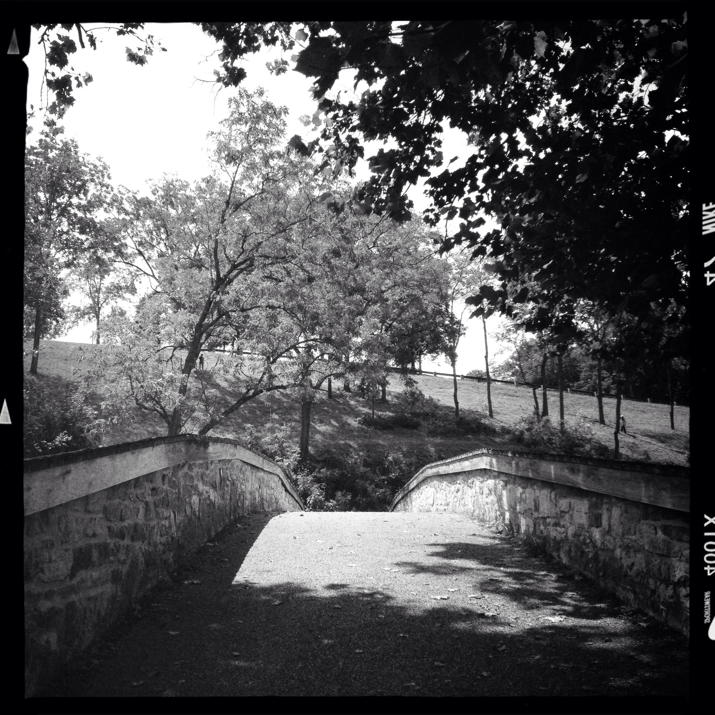
Walkway to the cemetary
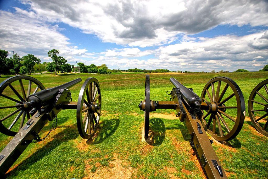
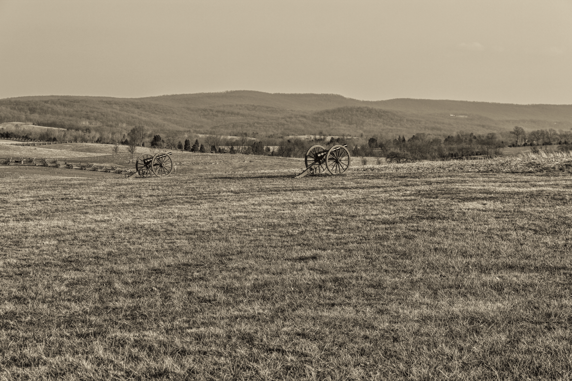
Canons II

Antietam Battlefield - 2014-06-19 (16)

Stone masonry
Antietam Battlefield

C&O Canal - 2012-10-16 (122) - Big Slackwater

Antietam Battlefield - 2014-06-19 (28)
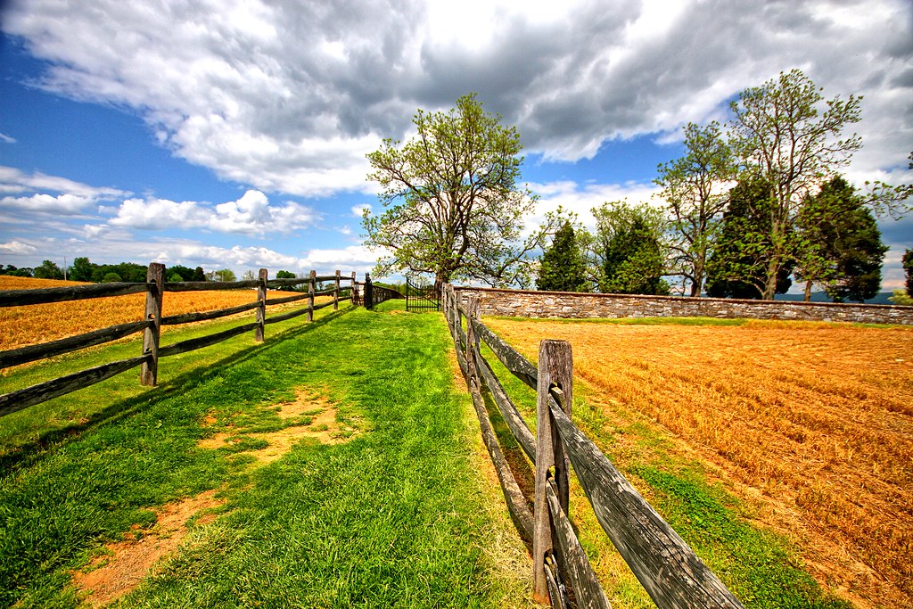
Along the fencing II
Some grass

Crystal Grottoes Caverns, Boonsboro, Maryland

ANTIETAM BLOODY LANE SUNDOWN
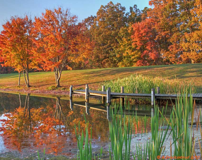
Fall reflections
Topographic Map of Dustin Dr, Sharpsburg, MD, USA
Find elevation by address:

Places near Dustin Dr, Sharpsburg, MD, USA:
Woburn Rd, Sharpsburg, MD, USA
20, Downsville
16924 Bakersville Rd
169 Vaughndom Way
Downsville Pike, Williamsport, MD, USA
16927 Tow Path Ln
Bowie Rd, Sharpsburg, MD, USA
6509 Bowie Rd
12, Fairplay
Fairplay
Neck Rd, Williamsport, MD, USA
Norman Dr, Fairplay, MD, USA
Briar Mountain Drive
General Jackson Cir, Sharpsburg, MD, USA
Sharpsburg
1, Sharpsburg
380 N Princess St
308 N Princess St
300 W German St
4809 Harpers Ferry Rd
Recent Searches:
- Elevation of Corso Fratelli Cairoli, 35, Macerata MC, Italy
- Elevation of Tallevast Rd, Sarasota, FL, USA
- Elevation of 4th St E, Sonoma, CA, USA
- Elevation of Black Hollow Rd, Pennsdale, PA, USA
- Elevation of Oakland Ave, Williamsport, PA, USA
- Elevation of Pedrógão Grande, Portugal
- Elevation of Klee Dr, Martinsburg, WV, USA
- Elevation of Via Roma, Pieranica CR, Italy
- Elevation of Tavkvetili Mountain, Georgia
- Elevation of Hartfords Bluff Cir, Mt Pleasant, SC, USA