Elevation of Norman Dr, Fairplay, MD, USA
Location: United States > Maryland > Washington County > 12, Fairplay > Fairplay >
Longitude: -77.742199
Latitude: 39.541792
Elevation: 133m / 436feet
Barometric Pressure: 100KPa
Elevation Map:
Satellite Map:
Related Photos:
Upstream view of Town Run, Shepherdstown, West Virginia
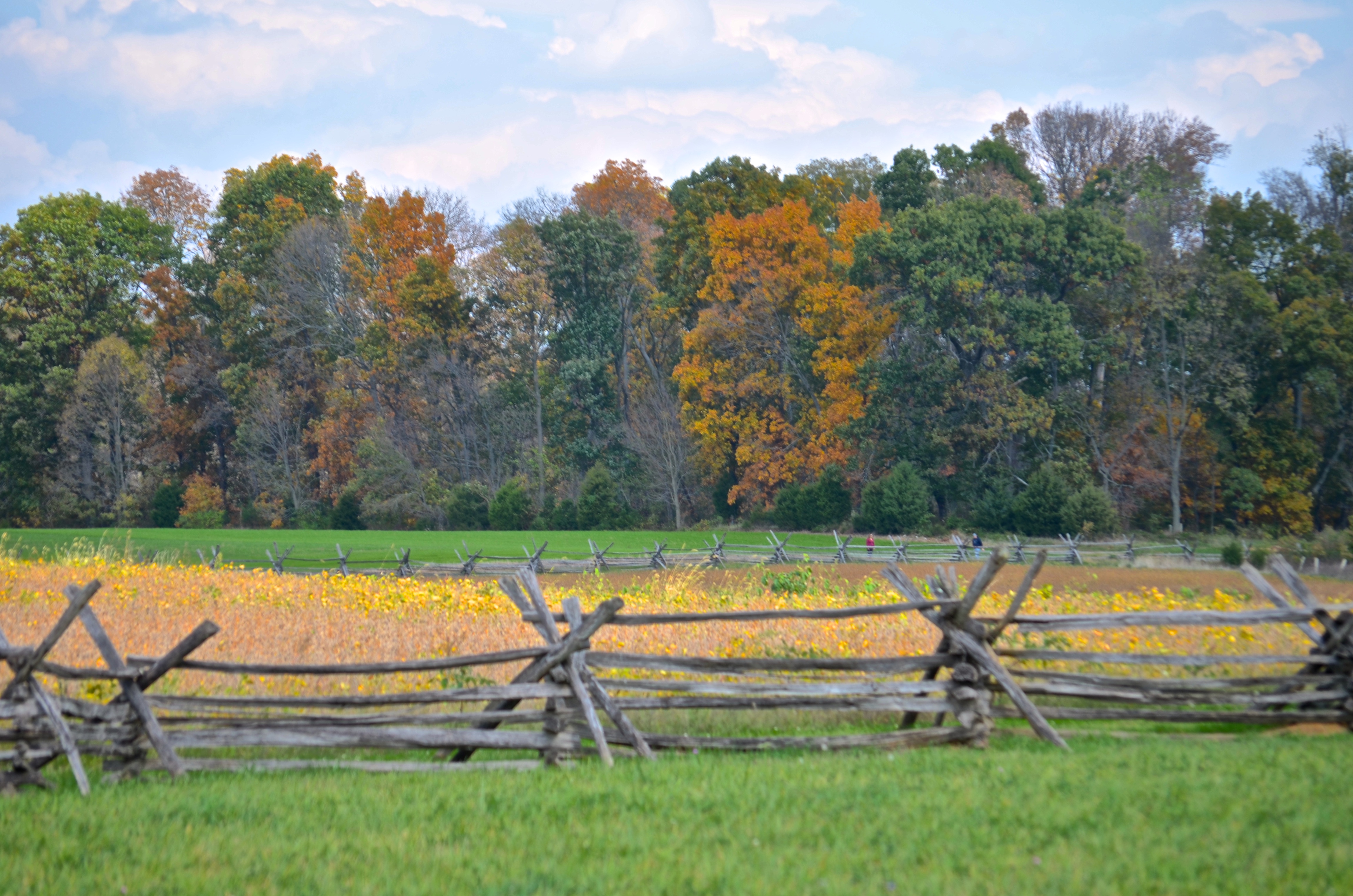
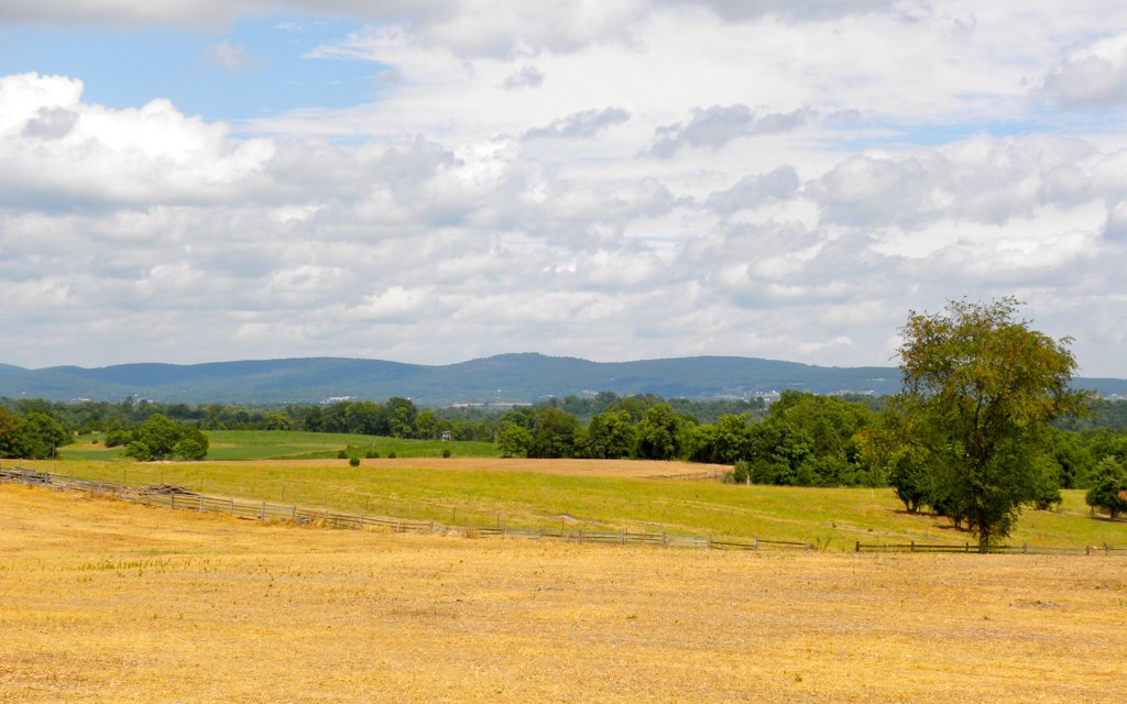
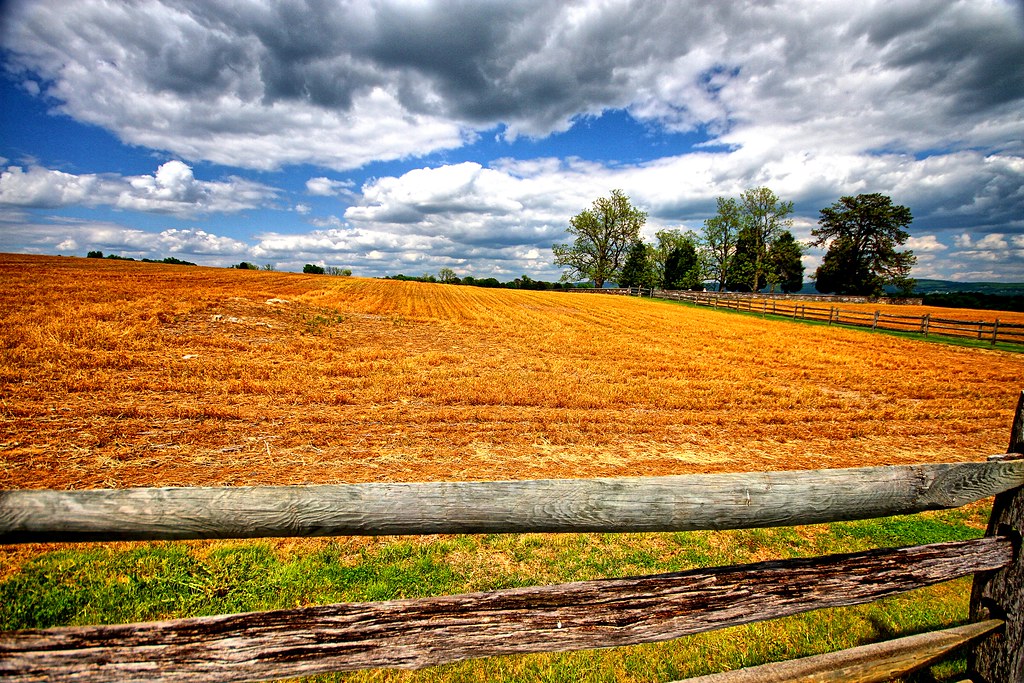
Cornfield, Antietam, rail fence
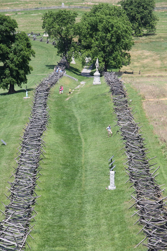
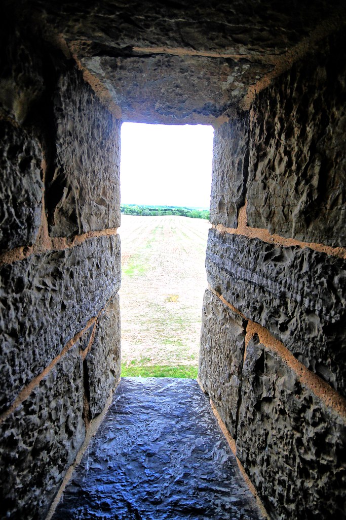
Antietam National Battlefield - View of Bloody Lane from the Observation Tower
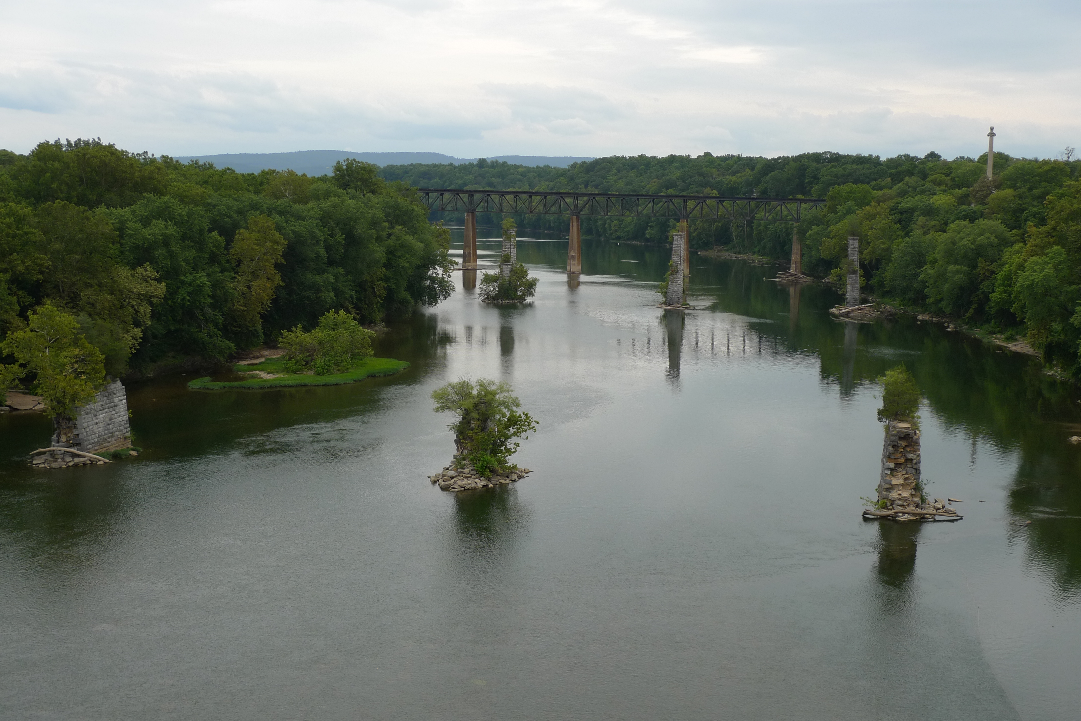
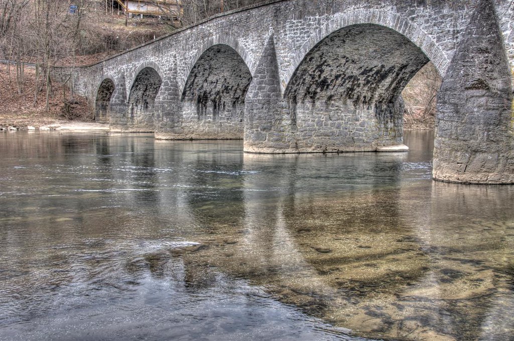
view from the James Rumsey (Sheperdstown Pike) Bridge

Back Alley view (behind German Street)
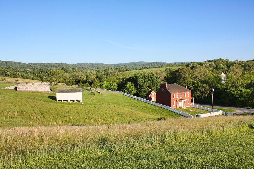
Sherrick Farm
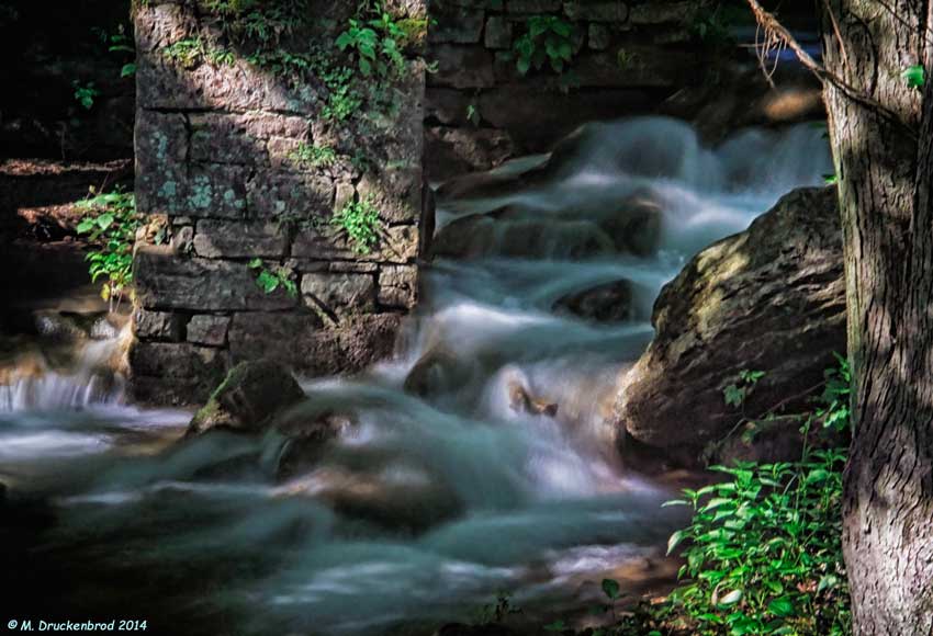
Bridge Meeting Water

Antietam National Battlefield - Antietam Creek
US 11-1-2
On The Opposite Side

Appalachian Storm
0189 Shepherdstown, WV
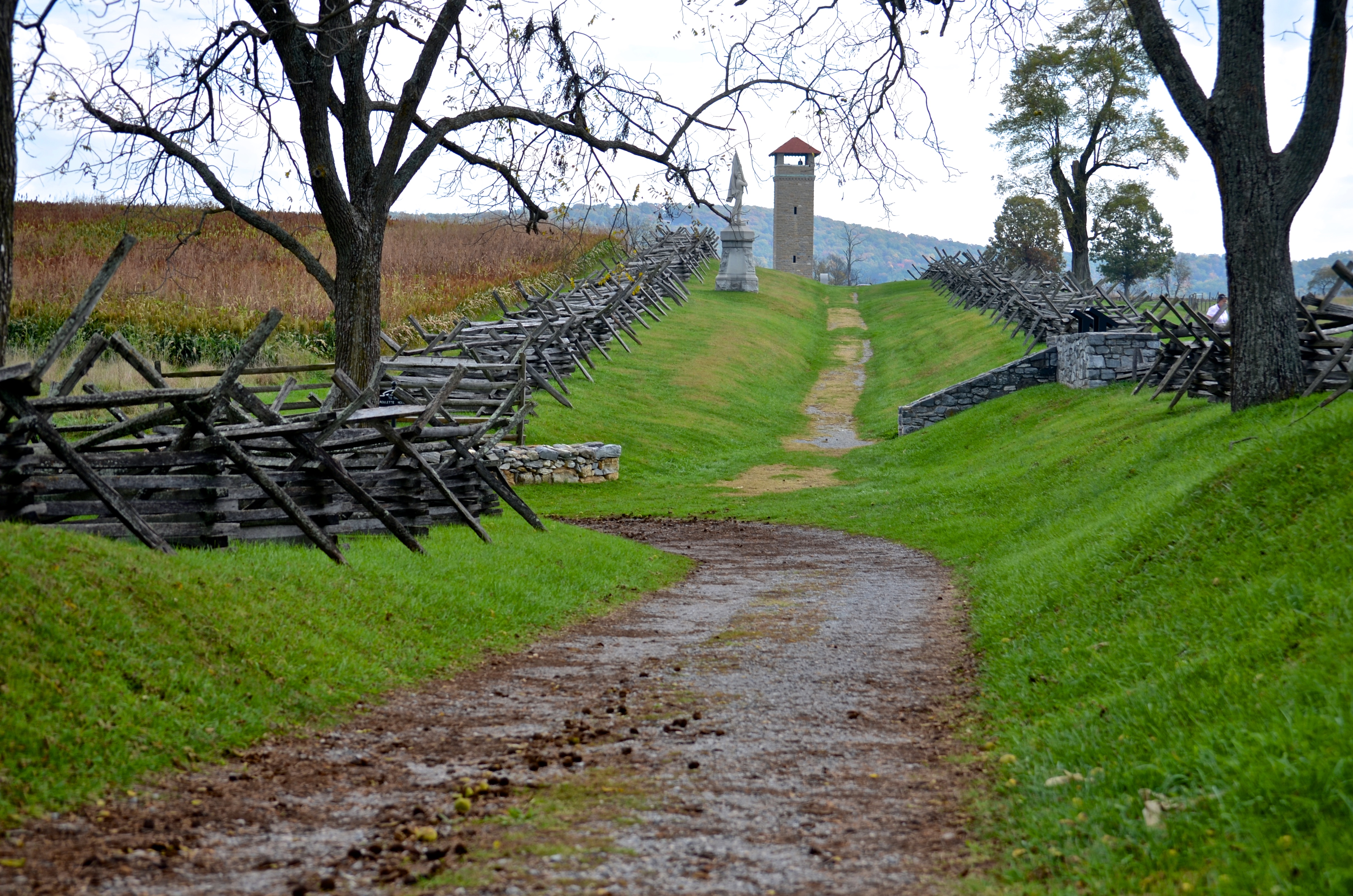
Bloody Lane, Antietam

_RWB6124.jpg
View out another window
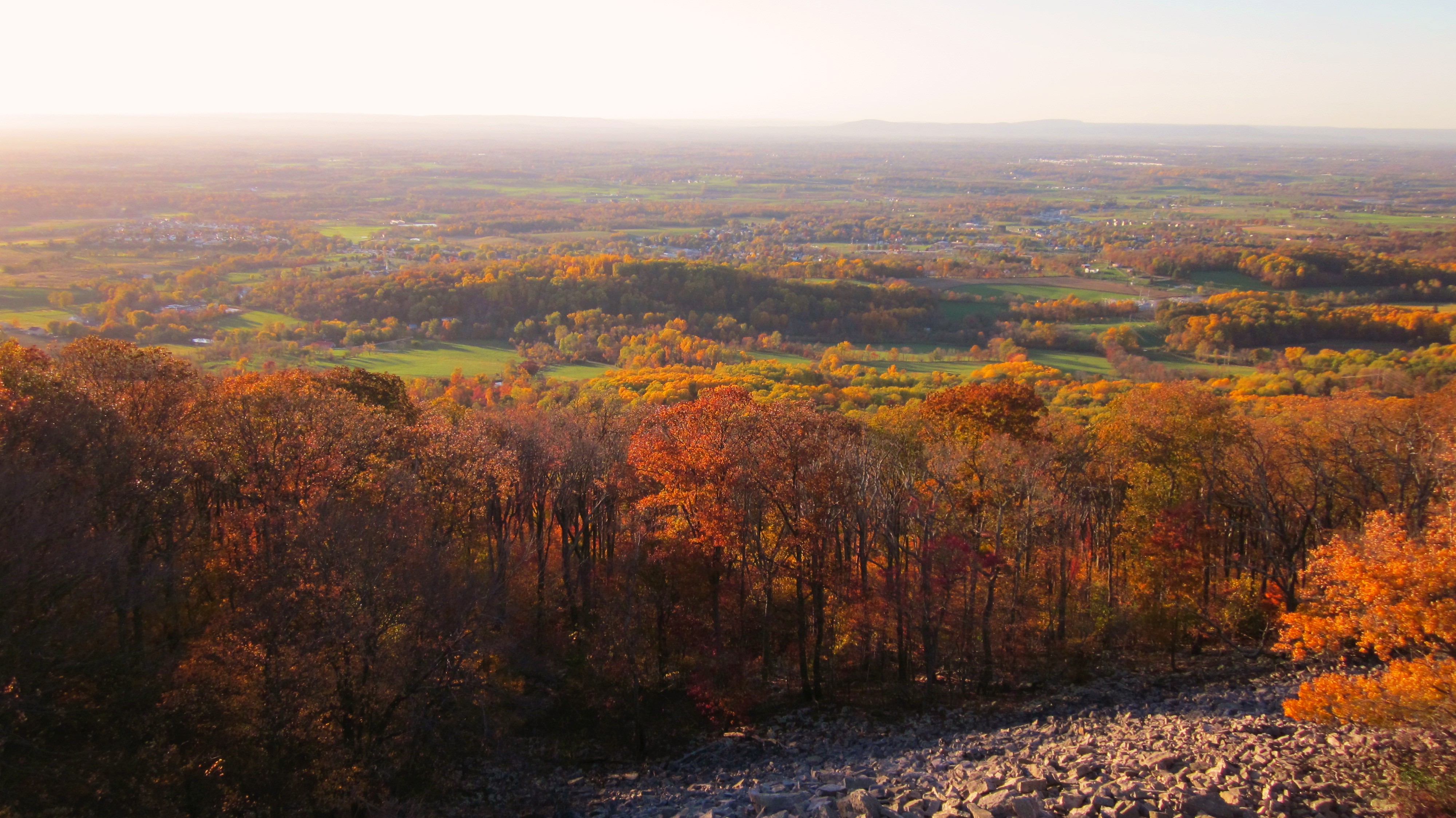
Afternoon view from the Washington Monument on South Mountain, Maryland

_RWB6215-Edit-Edit-2-Edit-Edit.jpg
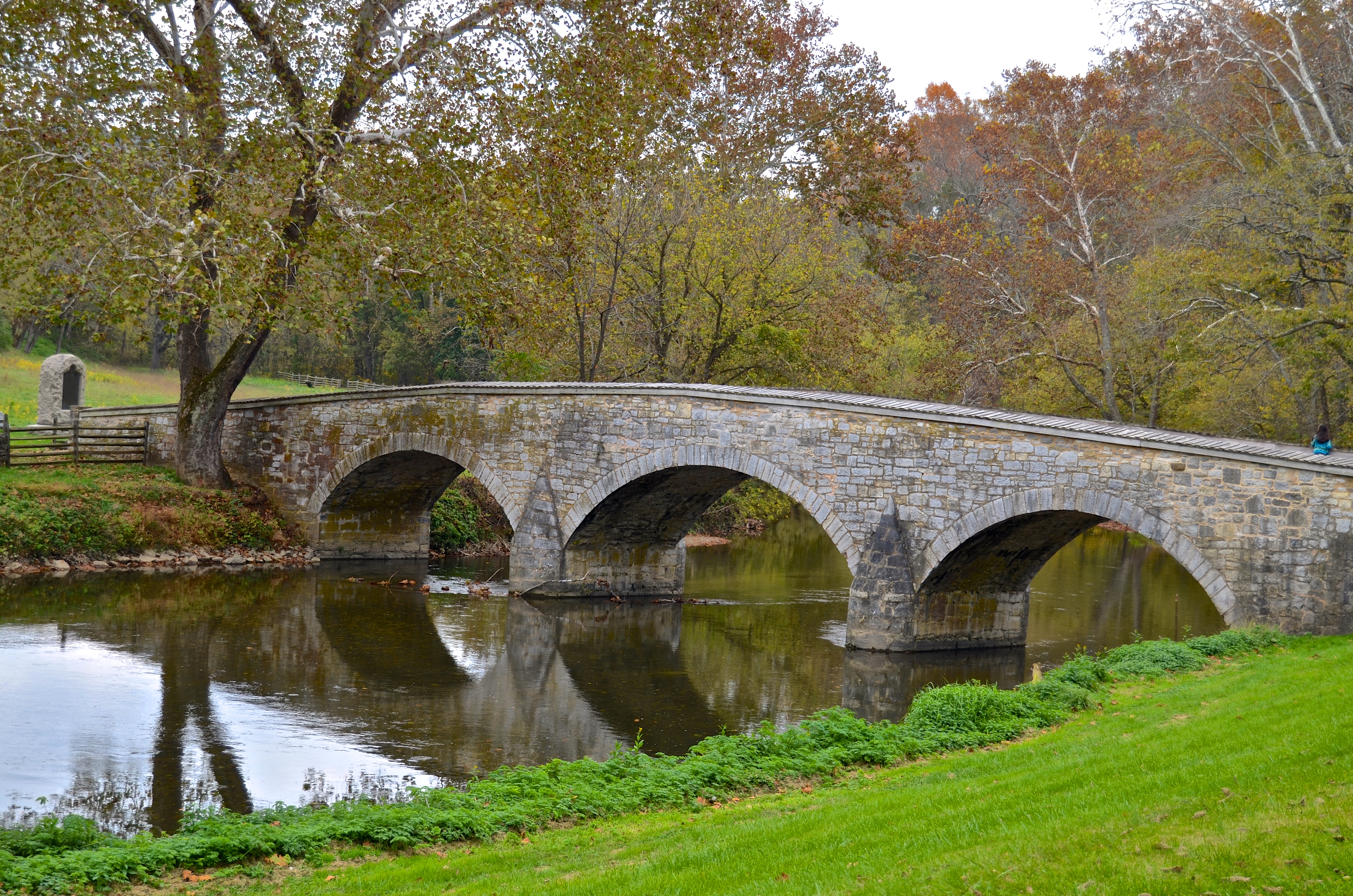
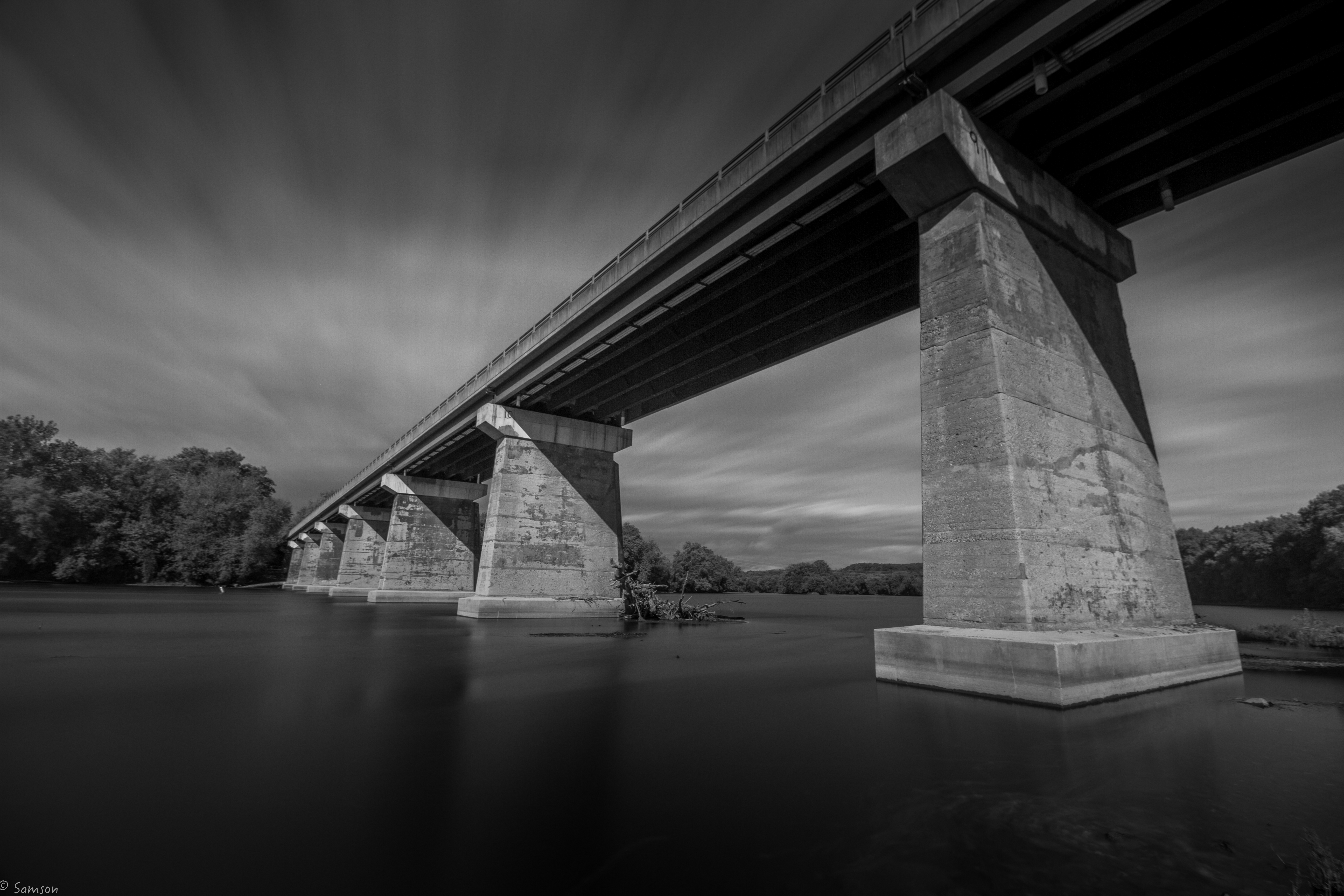
Burnside's Bridge, Antietam Creek
View from the Mumma Farm
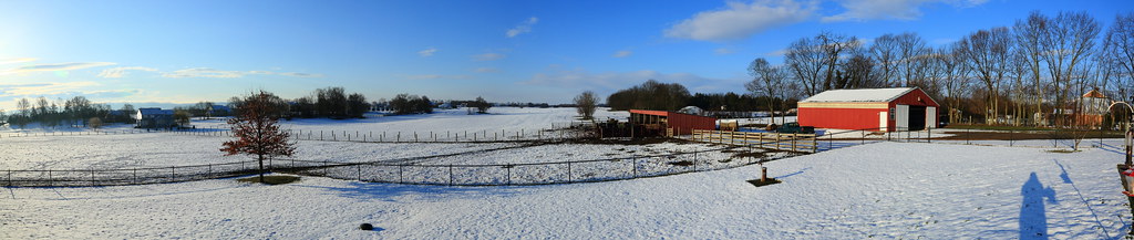
Today's Obligatory Snow Picture
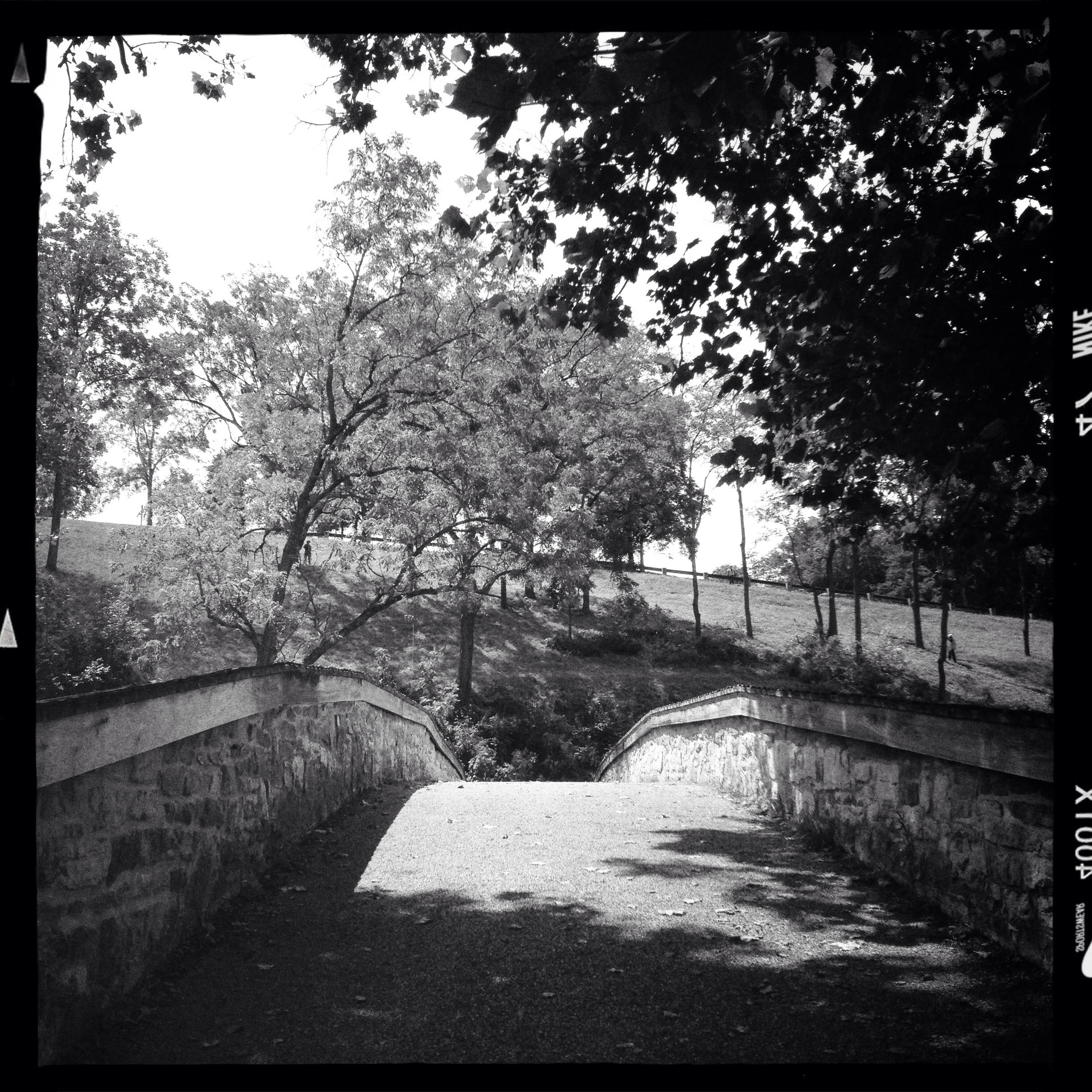
Burnside's Bridge

ANTIETAM BLOODY LANE SUNDOWN
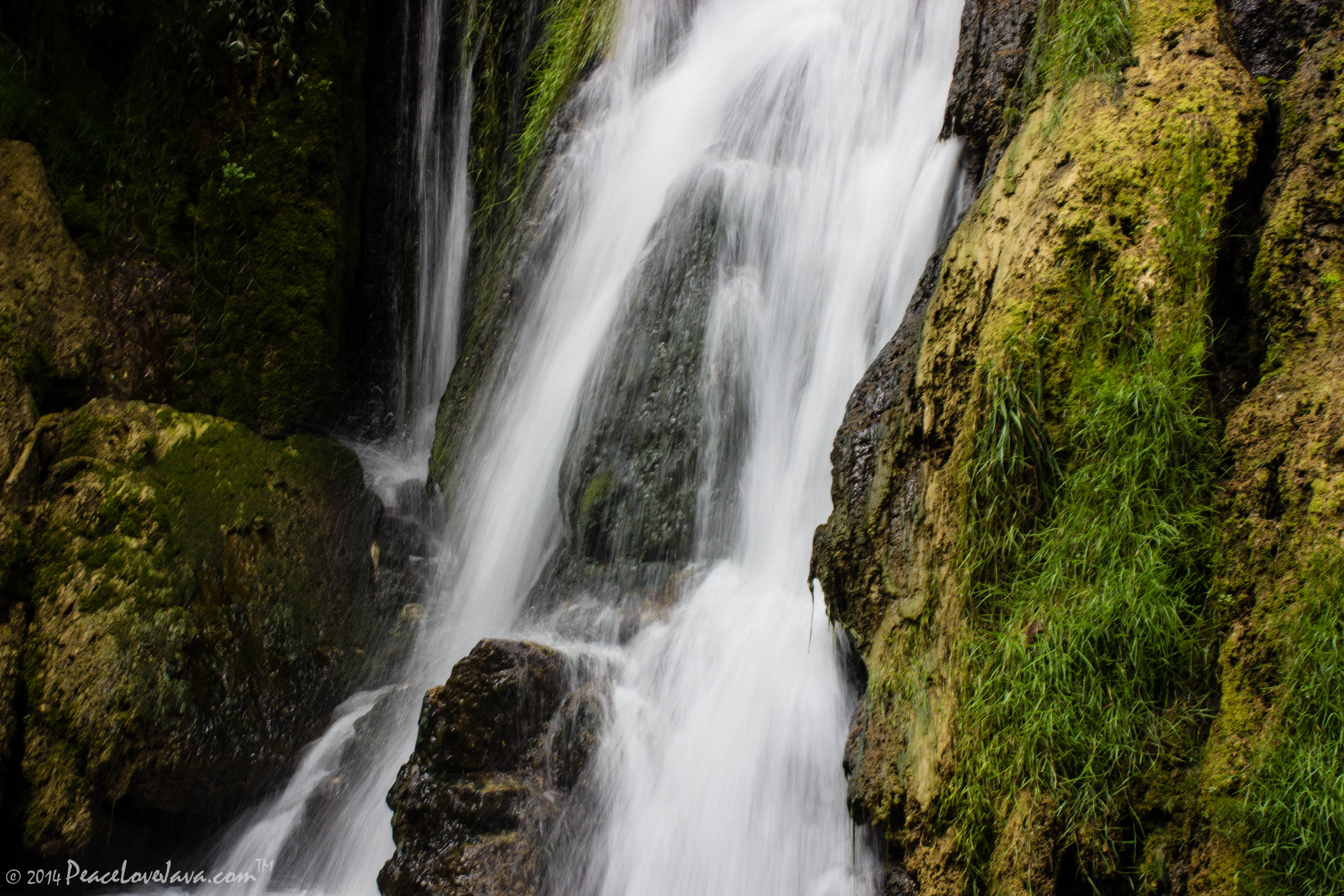
Falling Waters Falls Closeup

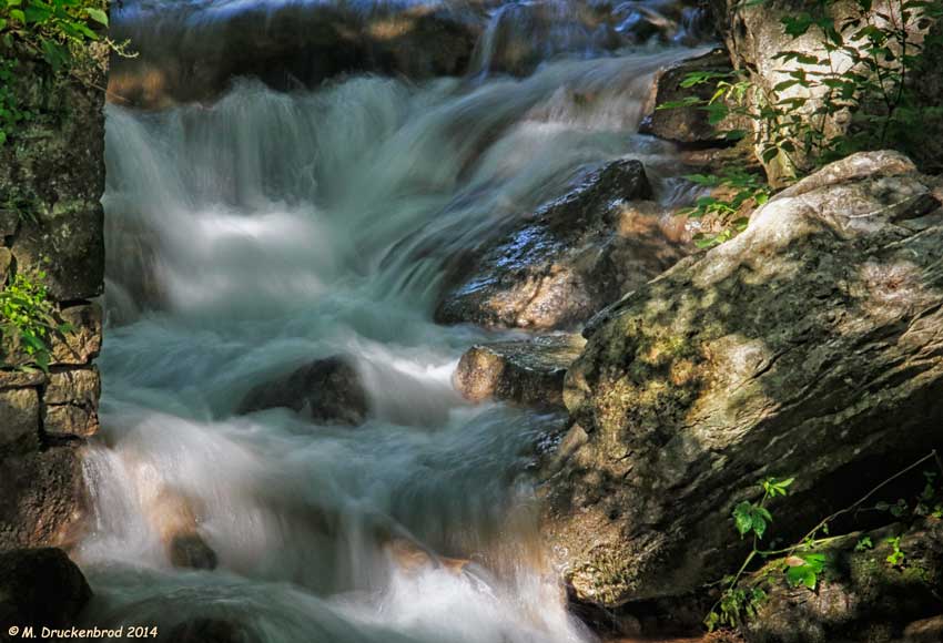
Falling Waters Falls
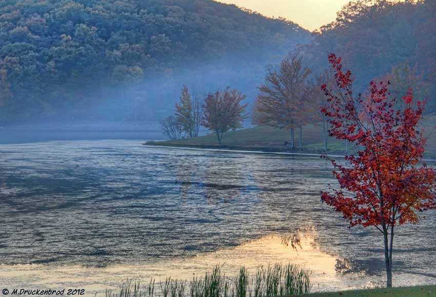
Sundown over Greenbrier Lake at Greenbrier State Park, Maryland
0012 C&O Canal Towpath, MD

Greenbrier Lake, Boonsboro Maryland

0461 Red-bellied Woodpecker, Shepherdstown, WV
Town Run at the Princess Street riverfront in Shepherdstown, WV
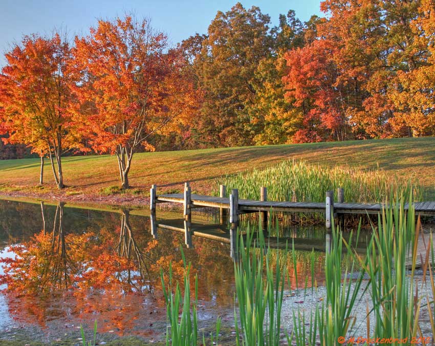
Fall reflections

A lakefront gazebo overlooking Greenbrier Lake

_RWB6254-Edit-Edit.jpg

Antietam Battlefield - 2010-04-27 (79)
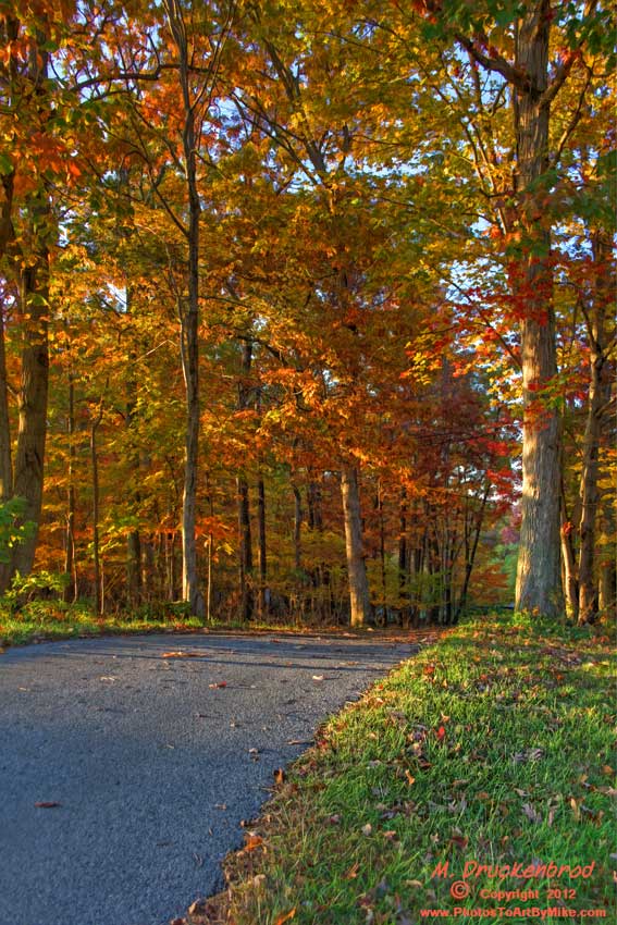
An Autumn Drive
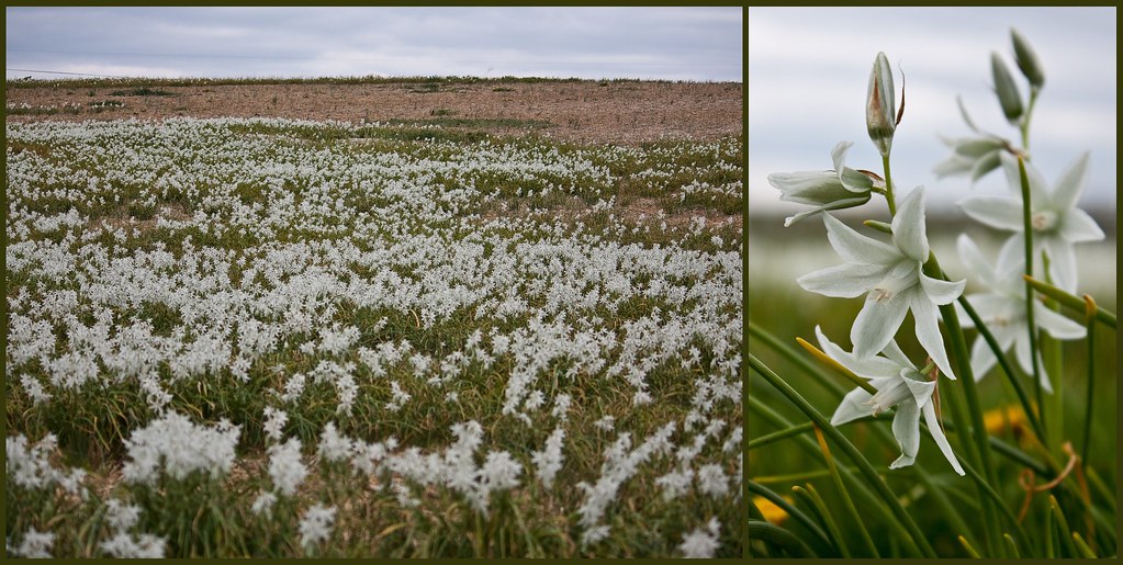
Antietam Flowers

Burnside Bridge night photo, Antietam Battlefield Maryland

Cornfield, Antietam, September 17, 1862
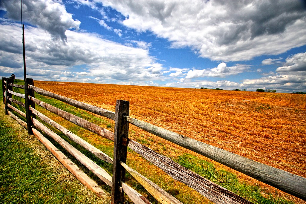
Agriculture is never far away
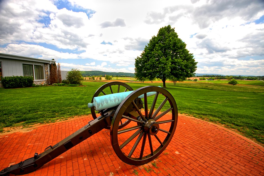
Brick and canon
Agriculture is never far away II

Antietam Battlefield - 2010-04-27 (107)
Topographic Map of Norman Dr, Fairplay, MD, USA
Find elevation by address:

Places near Norman Dr, Fairplay, MD, USA:
Fairplay
12, Fairplay
16924 Bakersville Rd
Bowie Rd, Sharpsburg, MD, USA
6509 Bowie Rd
Downsville Pike, Williamsport, MD, USA
20, Downsville
Dustin Dr, Sharpsburg, MD, USA
19, Keedysville
Harvest Ct, Keedysville, MD, USA
Keedysville
Woburn Rd, Sharpsburg, MD, USA
16927 Tow Path Ln
169 Vaughndom Way
Sharpsburg
Red Hill Rd, Keedysville, MD, USA
5418 Red Hill Rd
General Jackson Cir, Sharpsburg, MD, USA
4809 Harpers Ferry Rd
1, Sharpsburg
Recent Searches:
- Elevation of Homestead Ridge, New Braunfels, TX, USA
- Elevation of Orchard Road, Orchard Rd, Marlborough, NY, USA
- Elevation of 12 Hutchinson Woods Dr, Fletcher, NC, USA
- Elevation of Holloway Ave, San Francisco, CA, USA
- Elevation of Norfolk, NY, USA
- Elevation of - San Marcos Pass Rd, Santa Barbara, CA, USA
- Elevation of th Pl SE, Issaquah, WA, USA
- Elevation of 82- D Rd, Captain Cook, HI, USA
- Elevation of Harlow CM20 2PR, UK
- Elevation of Shenyang Agricultural University, Dong Ling Lu, Shen He Qu, Shen Yang Shi, Liao Ning Sheng, China