Elevation of Fairplay, MD, USA
Location: United States > Maryland > Washington County > 12, Fairplay >
Longitude: -77.747493
Latitude: 39.5364871
Elevation: 138m / 453feet
Barometric Pressure: 100KPa
Elevation Map:
Satellite Map:
Related Photos:
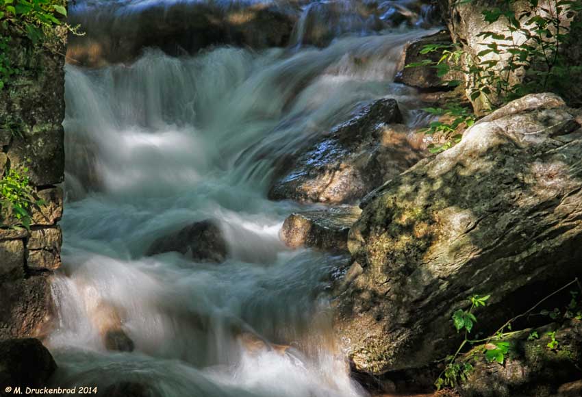
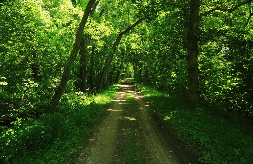
Upstream view of Town Run, Shepherdstown, West Virginia
0189 Shepherdstown, WV
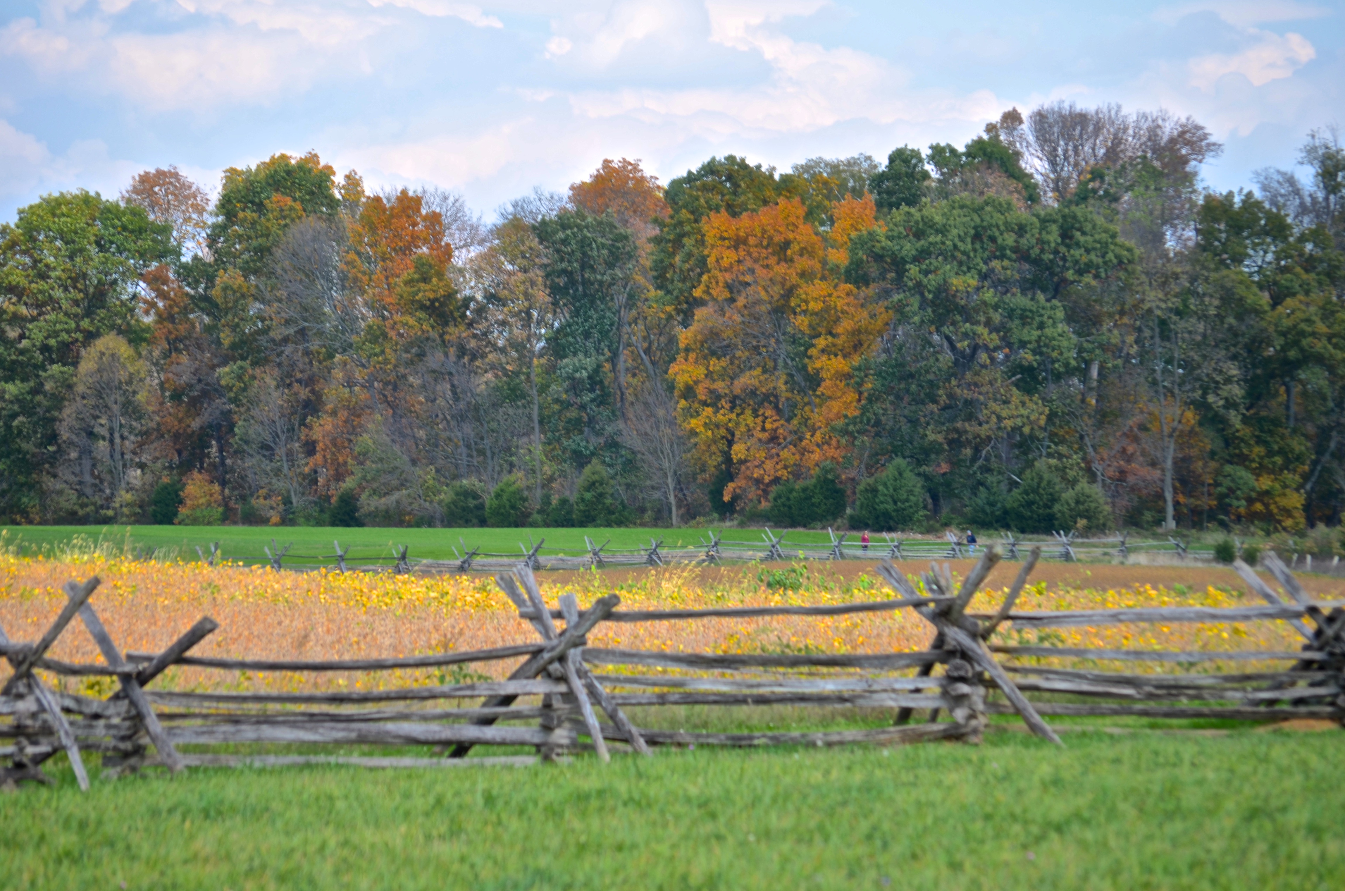
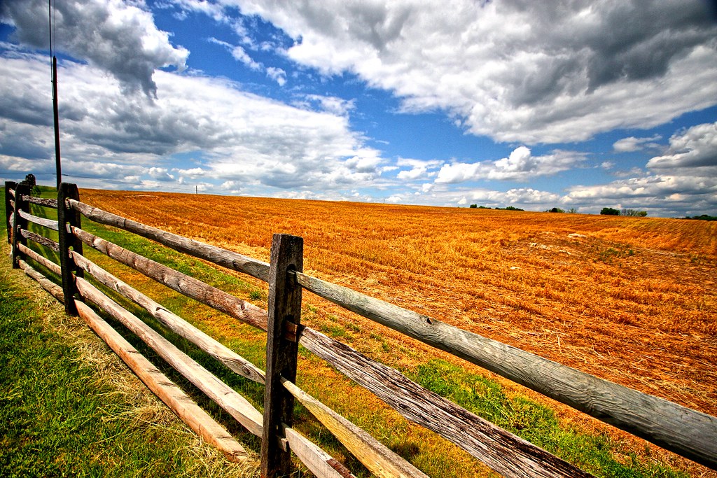
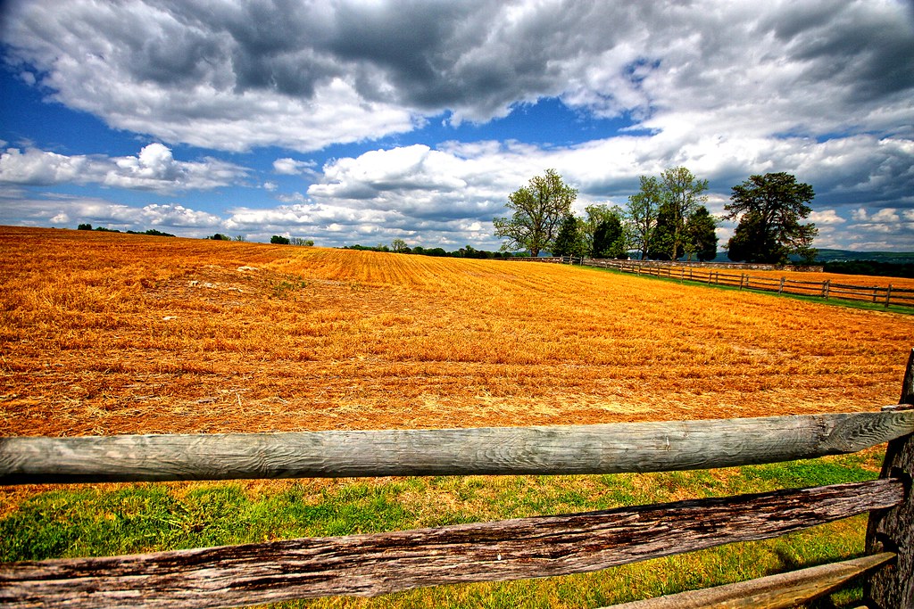
Cornfield, Antietam, rail fence
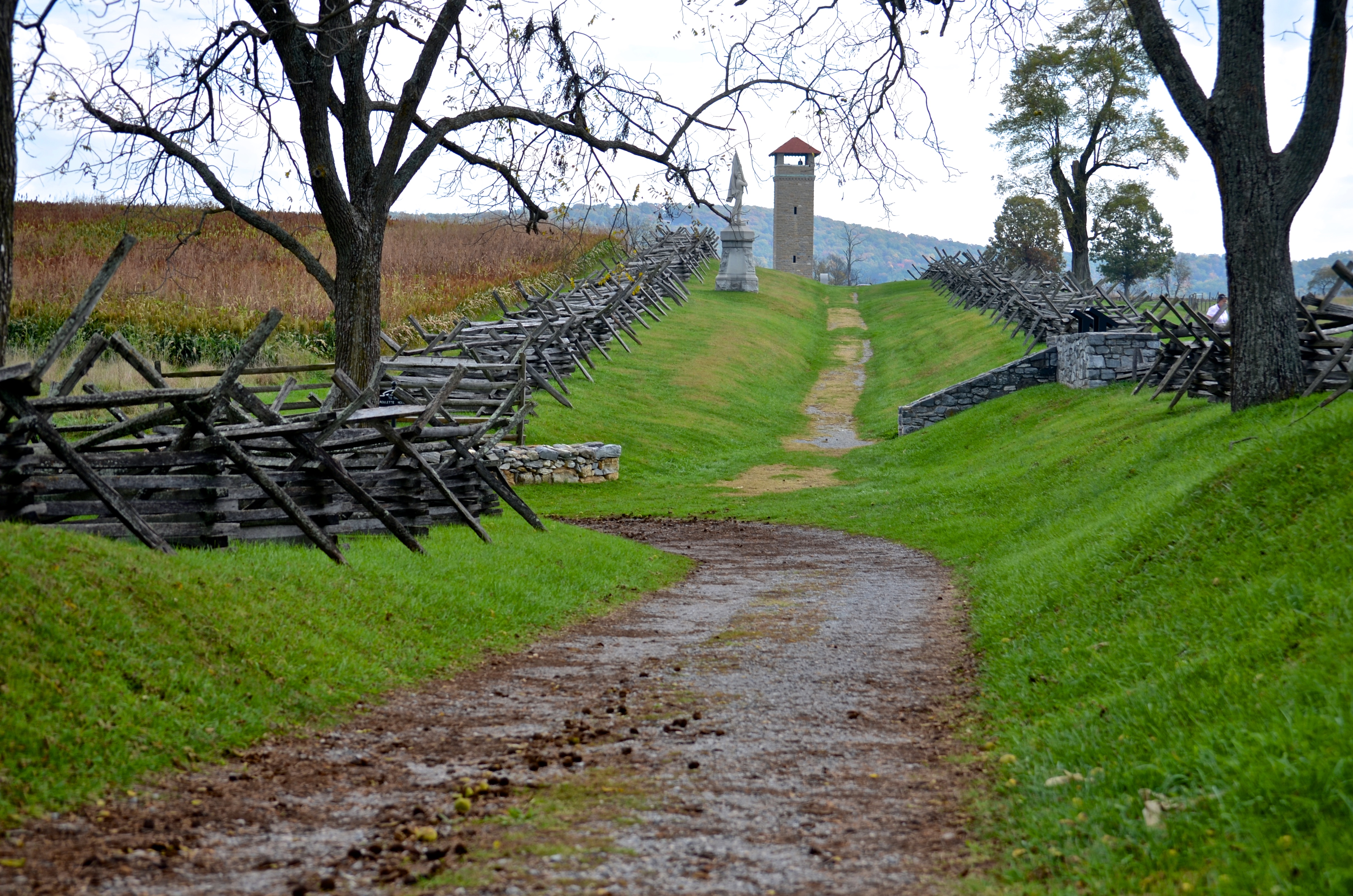
Bloody Lane, Antietam
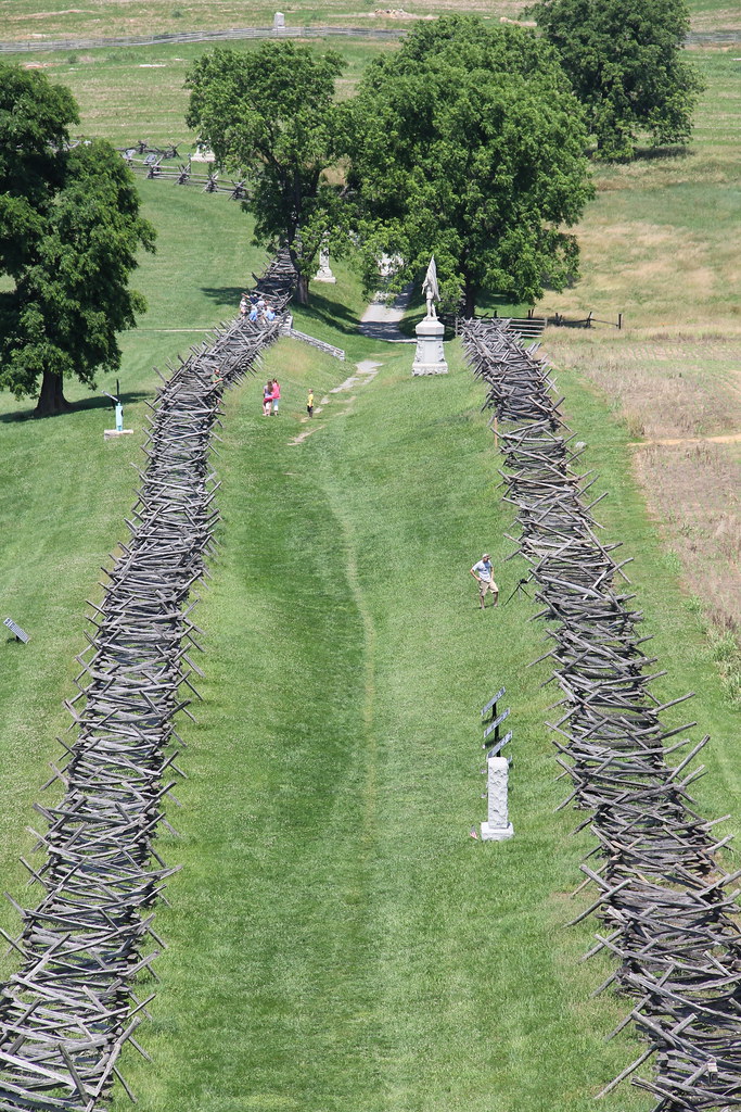
Antietam National Battlefield - View of Bloody Lane from the Observation Tower

_RWB6124.jpg
view from the James Rumsey (Sheperdstown Pike) Bridge
View out another window

Back Alley view (behind German Street)
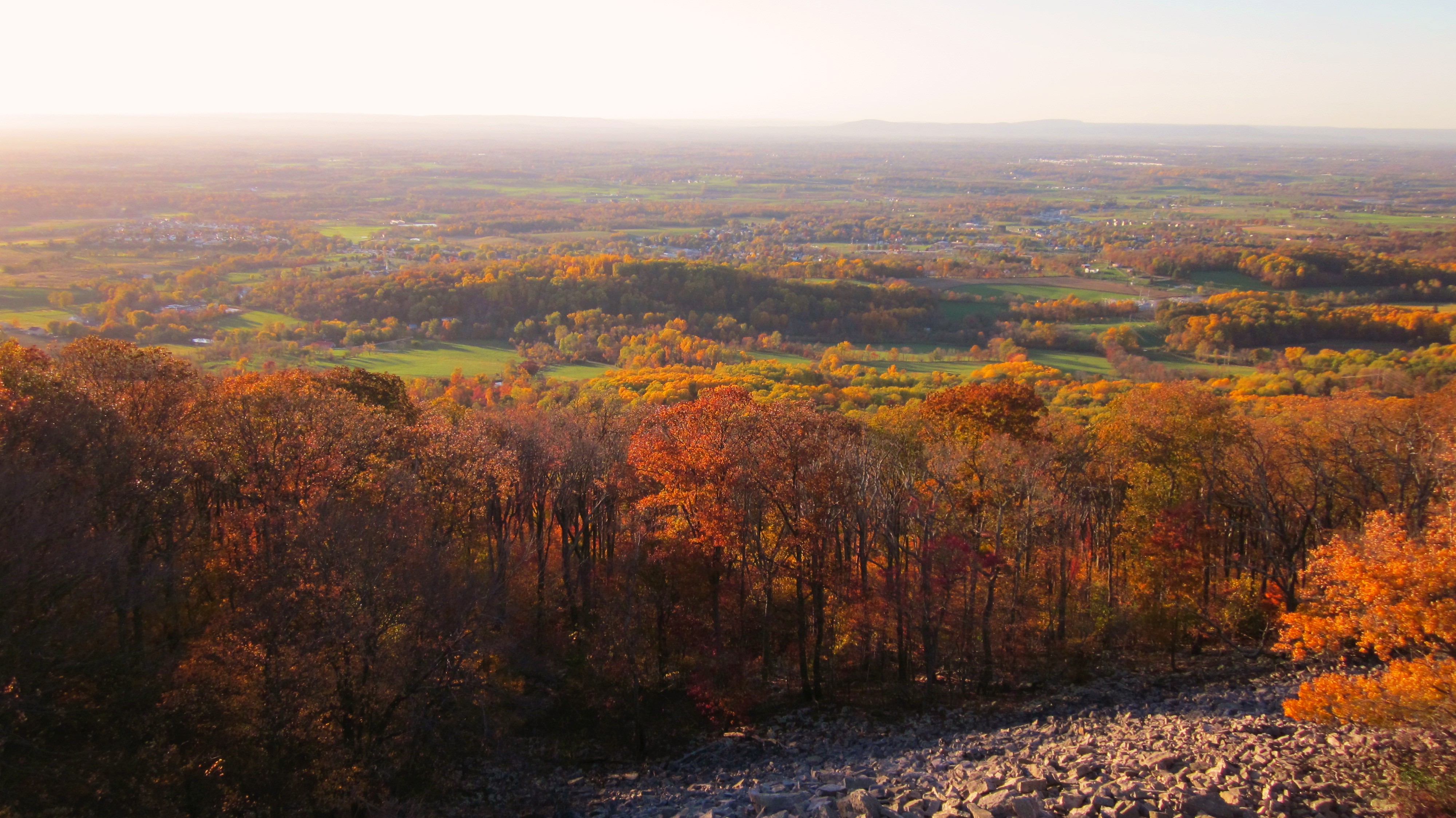
Afternoon view from the Washington Monument on South Mountain, Maryland

_RWB6215-Edit-Edit-2-Edit-Edit.jpg
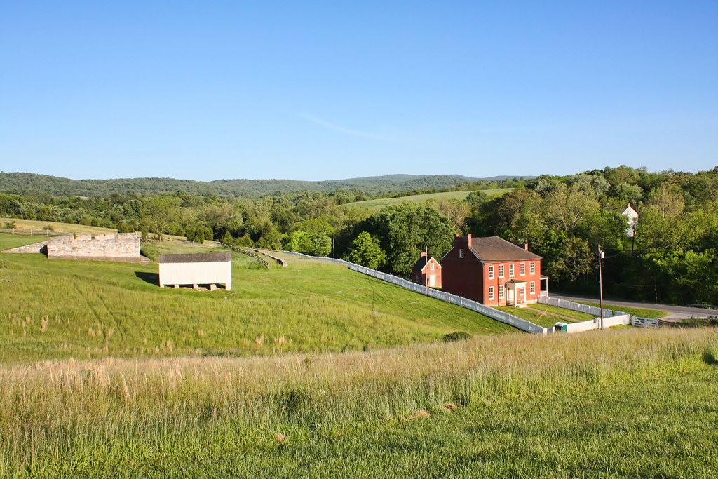
Sherrick Farm
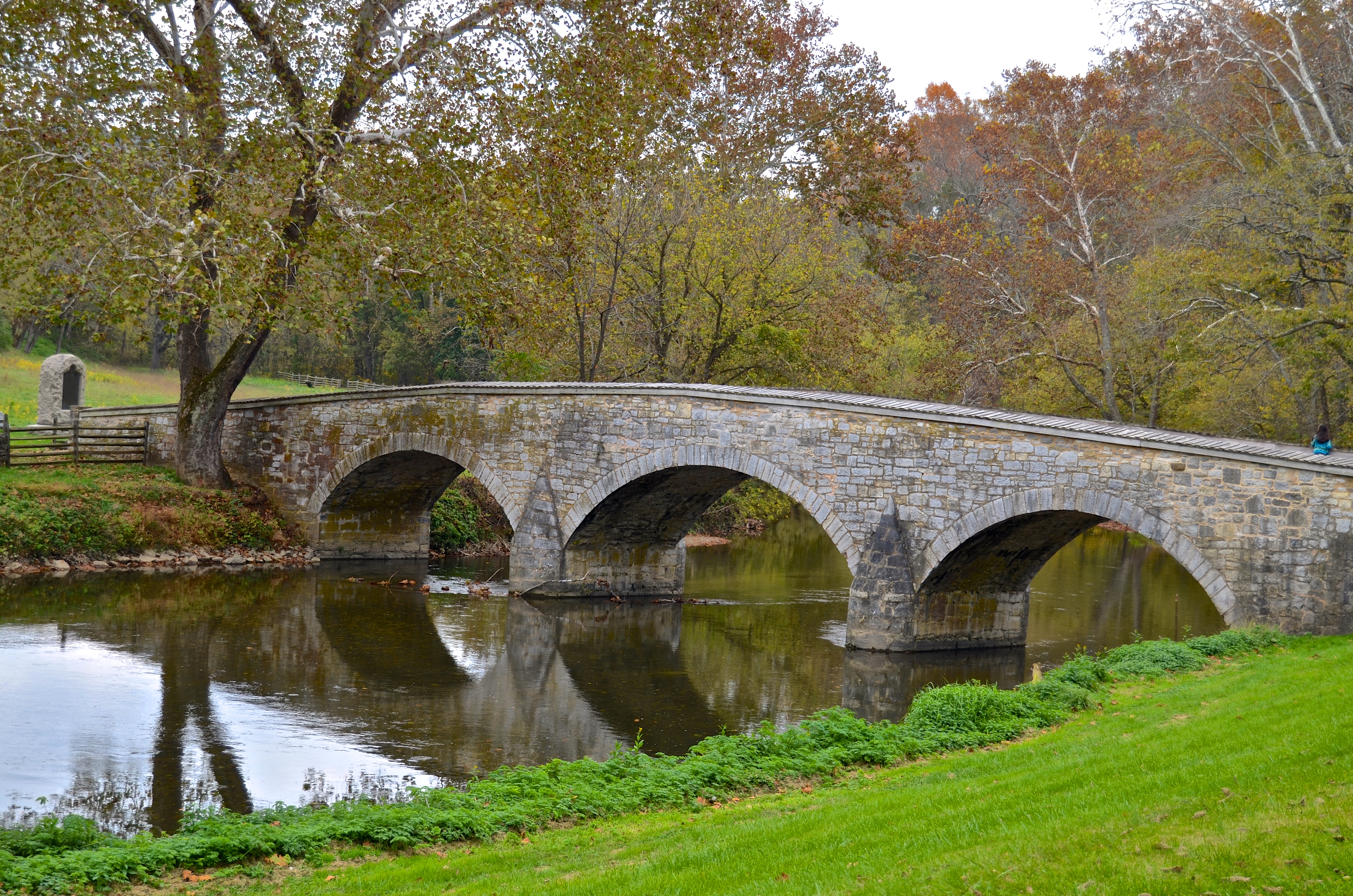
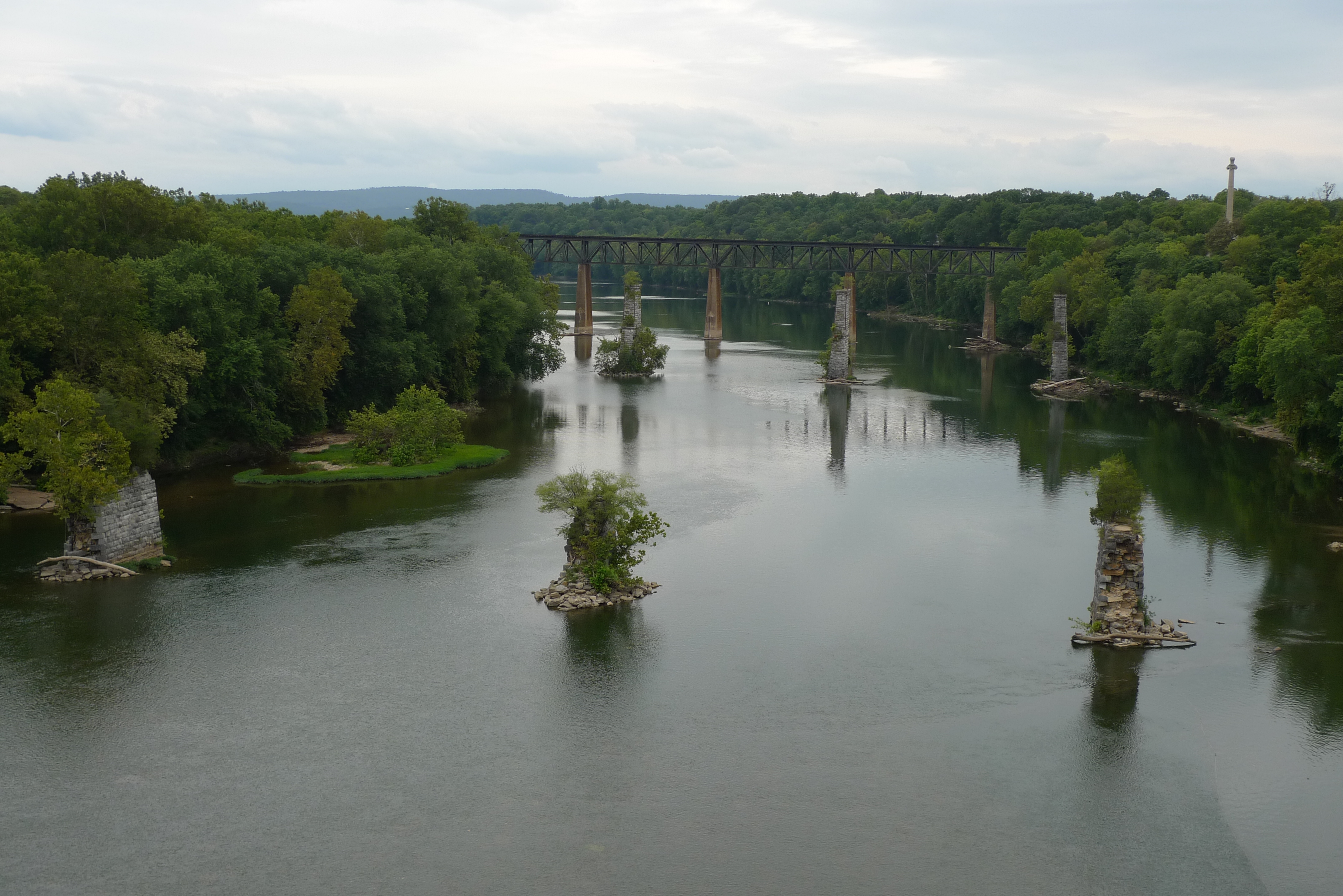
Burnside's Bridge, Antietam Creek
View from the Mumma Farm
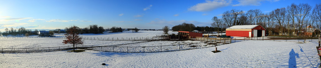
Today's Obligatory Snow Picture
Burnside's Bridge

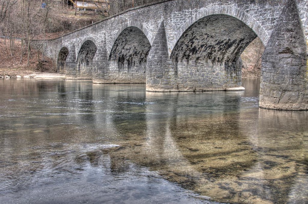
Conococheaque Aqueduct Arch
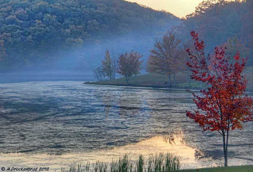
Greenbriar Lake
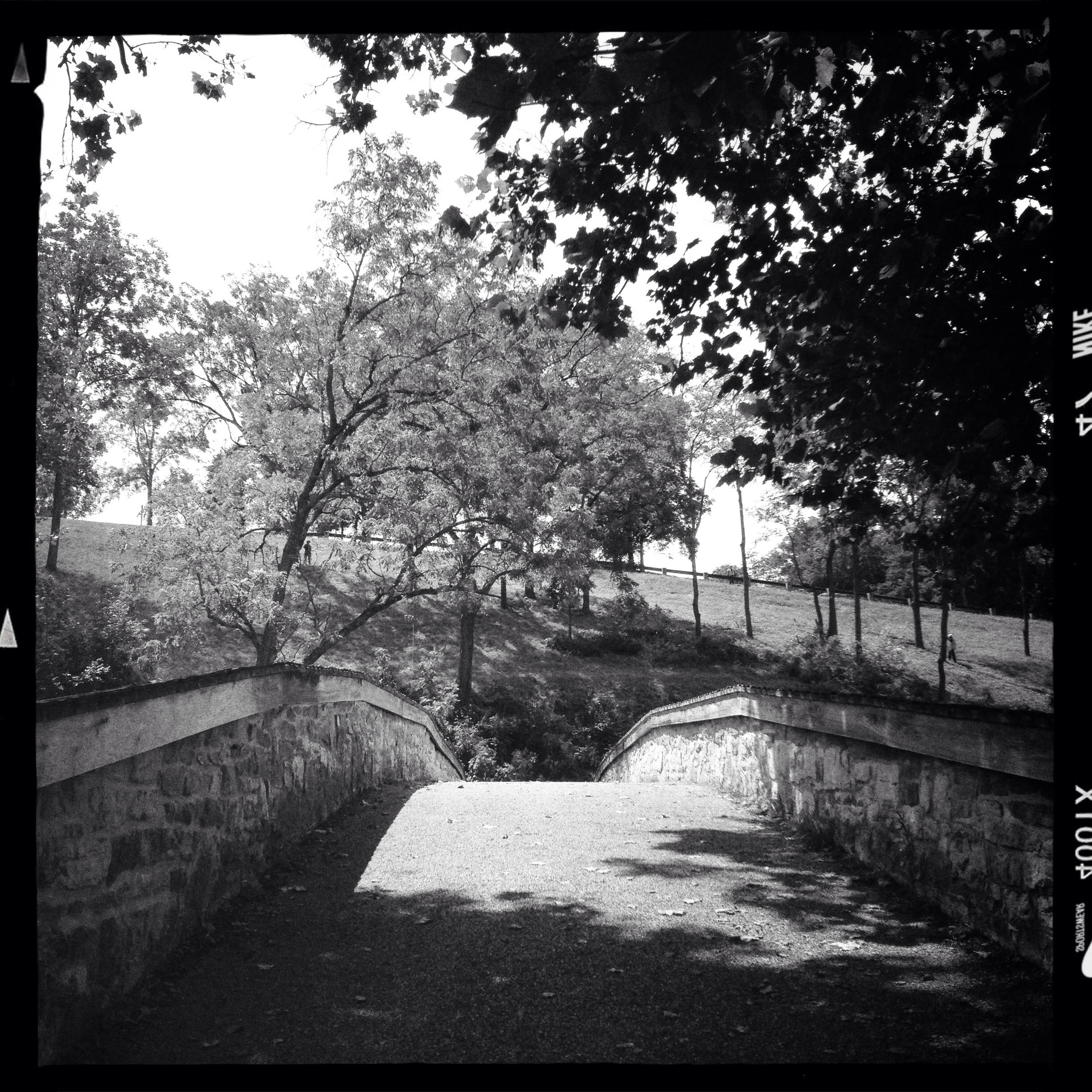
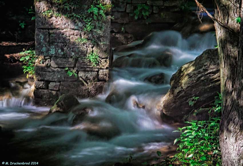
Bridge Meeting Water
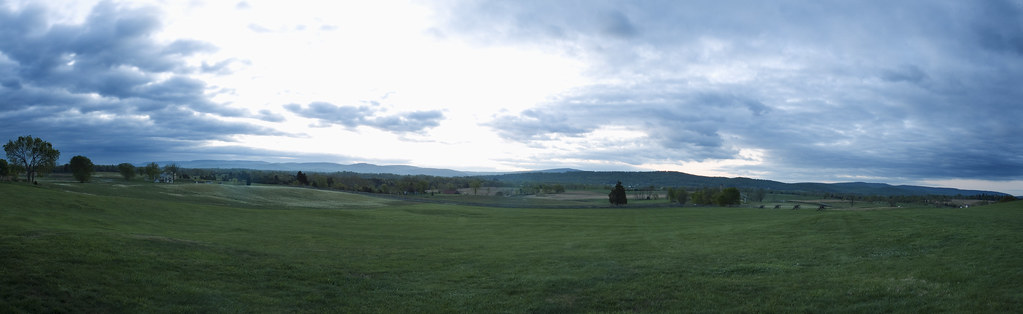
3 shot Pano of the Antietam Battlefield
Behind Dunker Church
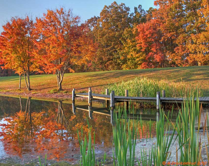
Fall reflections
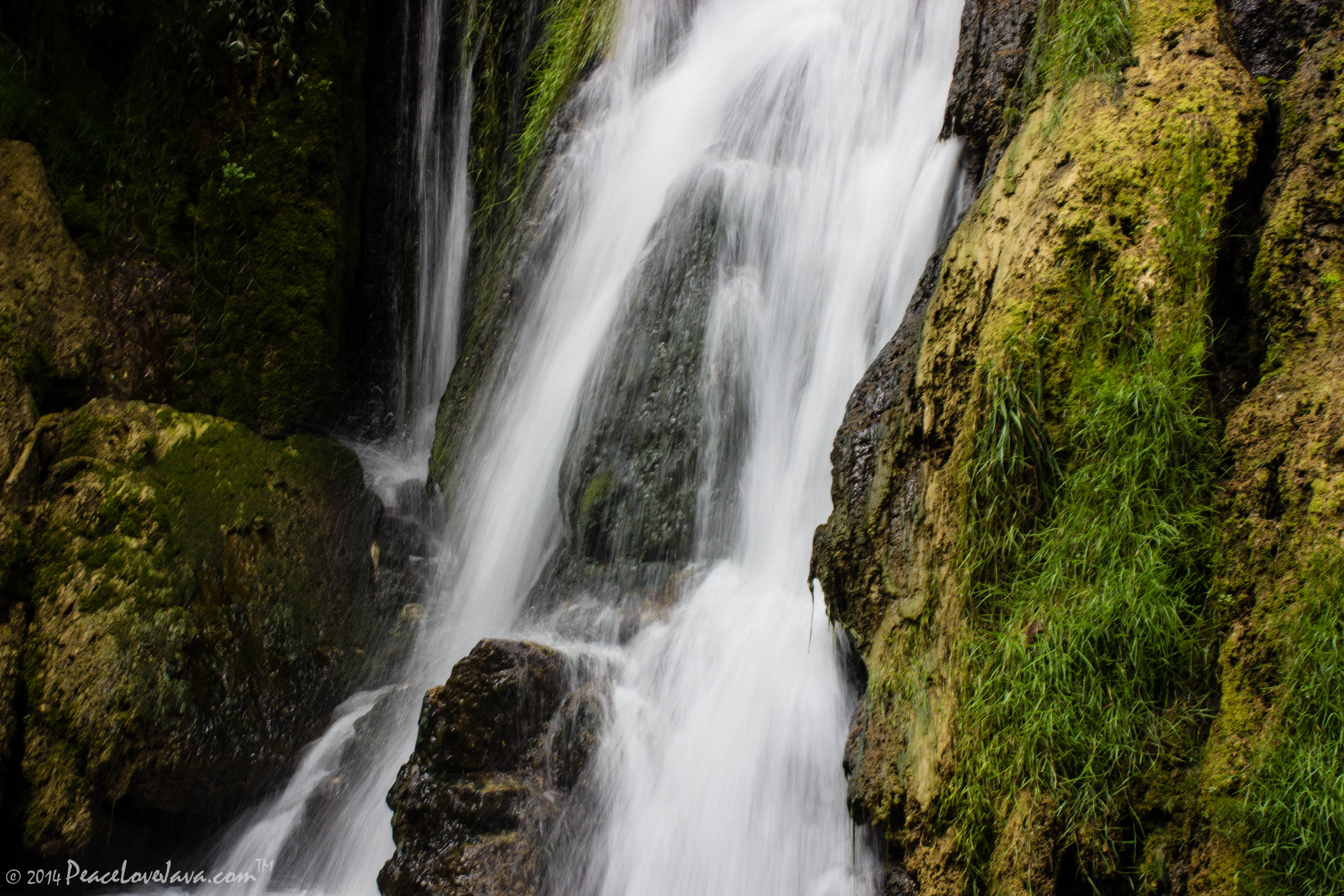
Falling Waters Falls Closeup

Falling Waters Falls

A lakefront gazebo overlooking Greenbrier Lake

_RWB6254-Edit-Edit.jpg
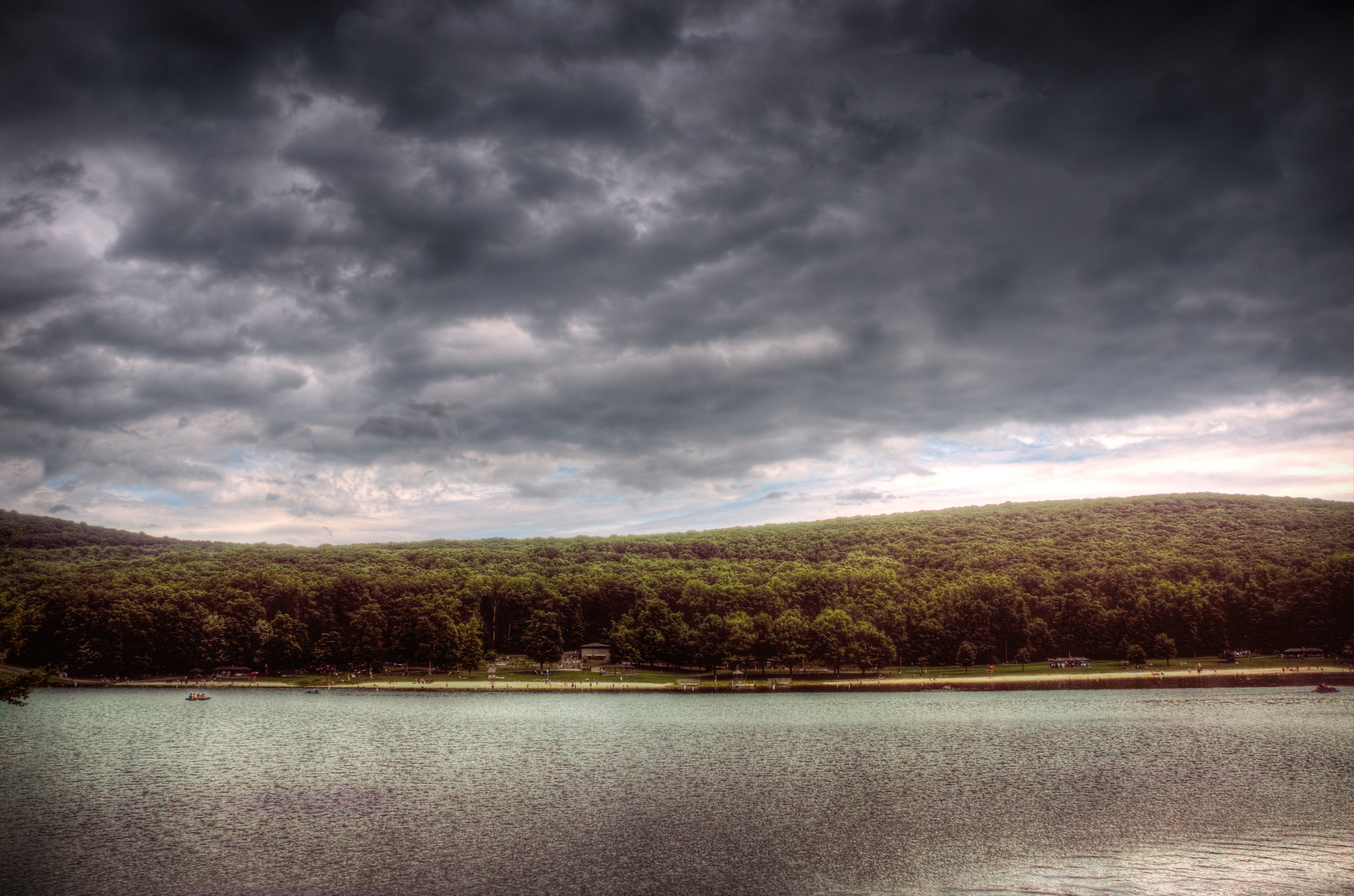
Sundown over Greenbrier Lake at Greenbrier State Park, Maryland
0012 C&O Canal Towpath, MD

Greenbrier Lake, Boonsboro Maryland

Antietam Battlefield - 2010-04-27 (79)

0461 Red-bellied Woodpecker, Shepherdstown, WV
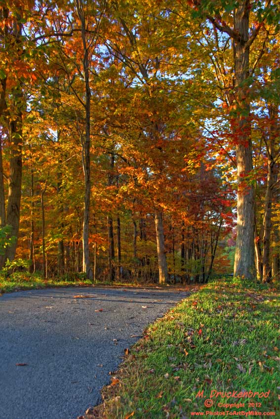
An Autumn Drive
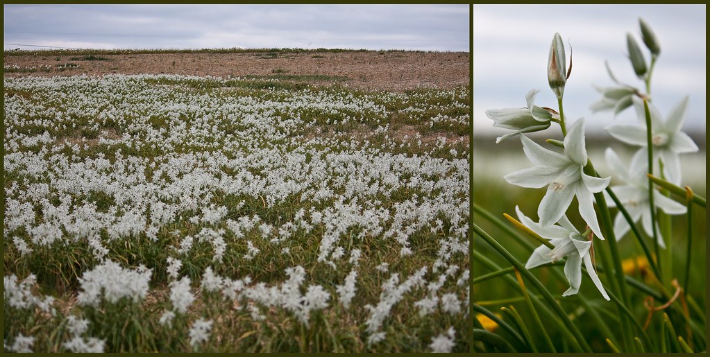
Antietam Flowers

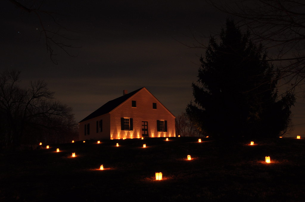
Burnside Bridge night photo, Antietam Battlefield Maryland

Cornfield, Antietam, September 17, 1862
Agriculture is never far away
Town Run at the Princess Street riverfront in Shepherdstown, WV
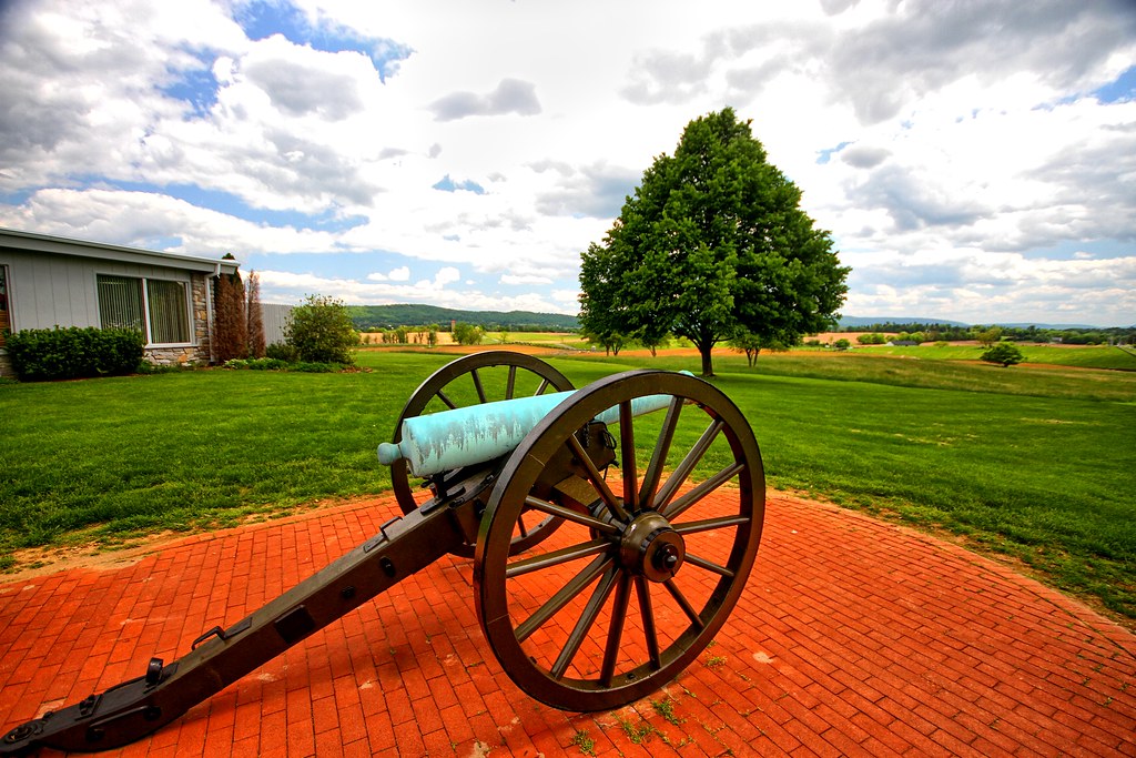
Brick and canon
Agriculture is never far away II

Antietam Battlefield - 2010-04-27 (107)
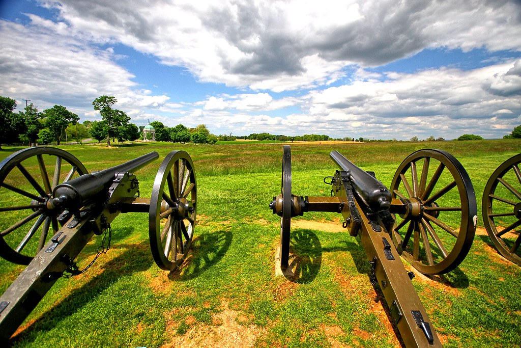
Canons II
Topographic Map of Fairplay, MD, USA
Find elevation by address:

Places in Fairplay, MD, USA:
Places near Fairplay, MD, USA:
Norman Dr, Fairplay, MD, USA
12, Fairplay
16924 Bakersville Rd
Bowie Rd, Sharpsburg, MD, USA
6509 Bowie Rd
Dustin Dr, Sharpsburg, MD, USA
20, Downsville
Downsville Pike, Williamsport, MD, USA
Woburn Rd, Sharpsburg, MD, USA
19, Keedysville
Harvest Ct, Keedysville, MD, USA
16927 Tow Path Ln
Keedysville
169 Vaughndom Way
Sharpsburg
Red Hill Rd, Keedysville, MD, USA
General Jackson Cir, Sharpsburg, MD, USA
5418 Red Hill Rd
4809 Harpers Ferry Rd
1, Sharpsburg
Recent Searches:
- Elevation of Jalan Senandin, Lutong, Miri, Sarawak, Malaysia
- Elevation of Bilohirs'k
- Elevation of 30 Oak Lawn Dr, Barkhamsted, CT, USA
- Elevation of Luther Road, Luther Rd, Auburn, CA, USA
- Elevation of Unnamed Road, Respublika Severnaya Osetiya — Alaniya, Russia
- Elevation of Verkhny Fiagdon, North Ossetia–Alania Republic, Russia
- Elevation of F. Viola Hiway, San Rafael, Bulacan, Philippines
- Elevation of Herbage Dr, Gulfport, MS, USA
- Elevation of Lilac Cir, Haldimand, ON N3W 2G9, Canada
- Elevation of Harrod Branch Road, Harrod Branch Rd, Kentucky, USA