Elevation of Downsville Pike, Williamsport, MD, USA
Location: United States > Maryland > Washington County > 20, Downsville >
Longitude: -77.802009
Latitude: 39.548629
Elevation: 137m / 449feet
Barometric Pressure: 100KPa
Elevation Map:
Satellite Map:
Related Photos:
Upstream view of Town Run, Shepherdstown, West Virginia
0189 Shepherdstown, WV
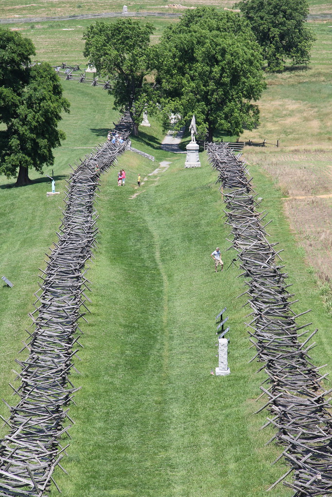
Antietam National Battlefield - View of Bloody Lane from the Observation Tower

_RWB6124.jpg

Back Alley view (behind German Street)

_RWB6215-Edit-Edit-2-Edit-Edit.jpg
Today's Obligatory Snow Picture

_RWB6336.jpg

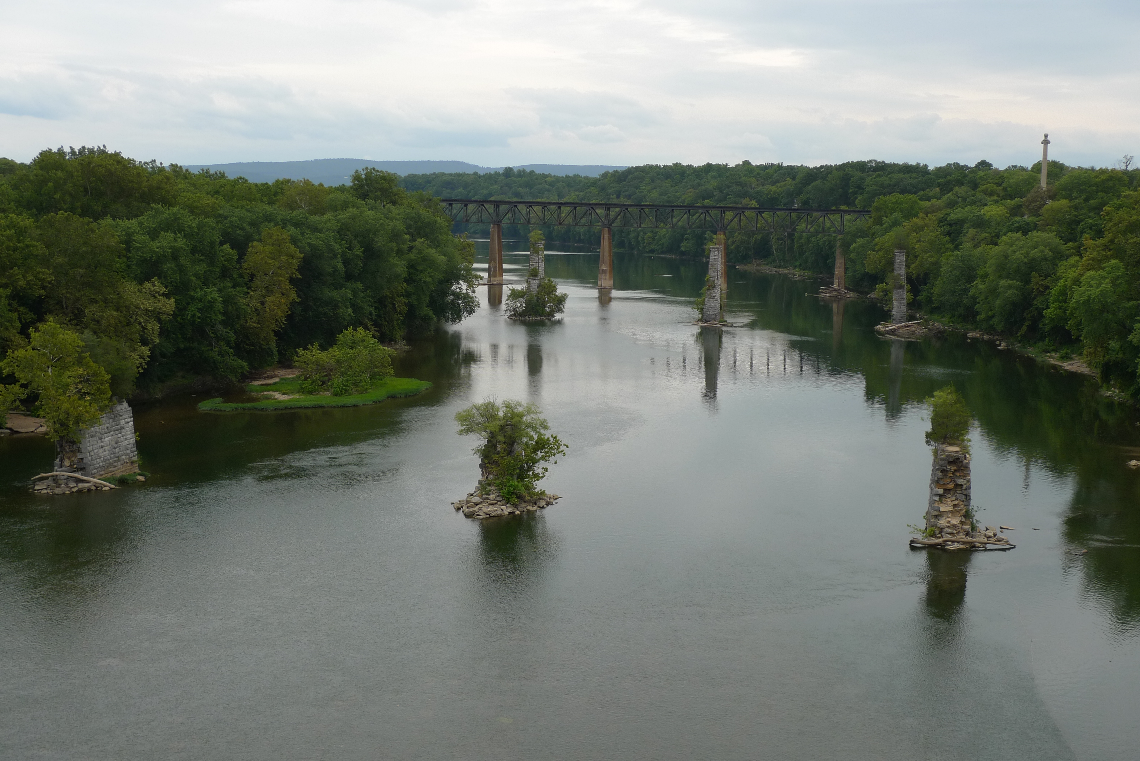
Antietam National Battlefield - Antietam Creek

_RWB6310-Edit.jpg

_RWB6335-Edit.jpg

Viewing the Potomac and Blackford's Crossing from the Rumsey Monument, Shepherdstown, WV

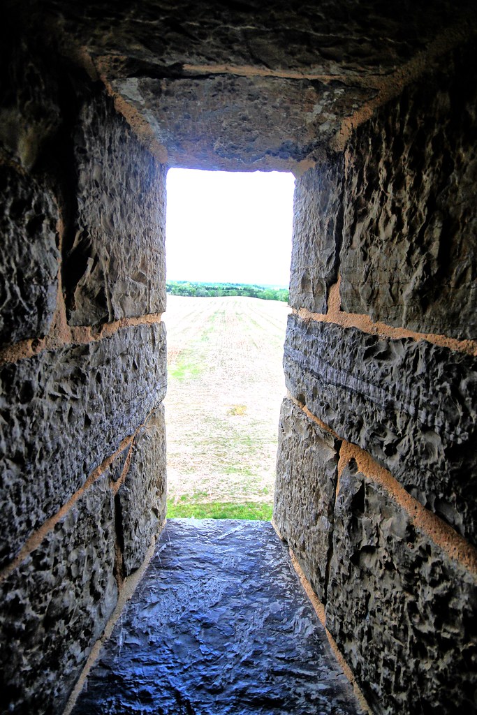
Observation Tower View
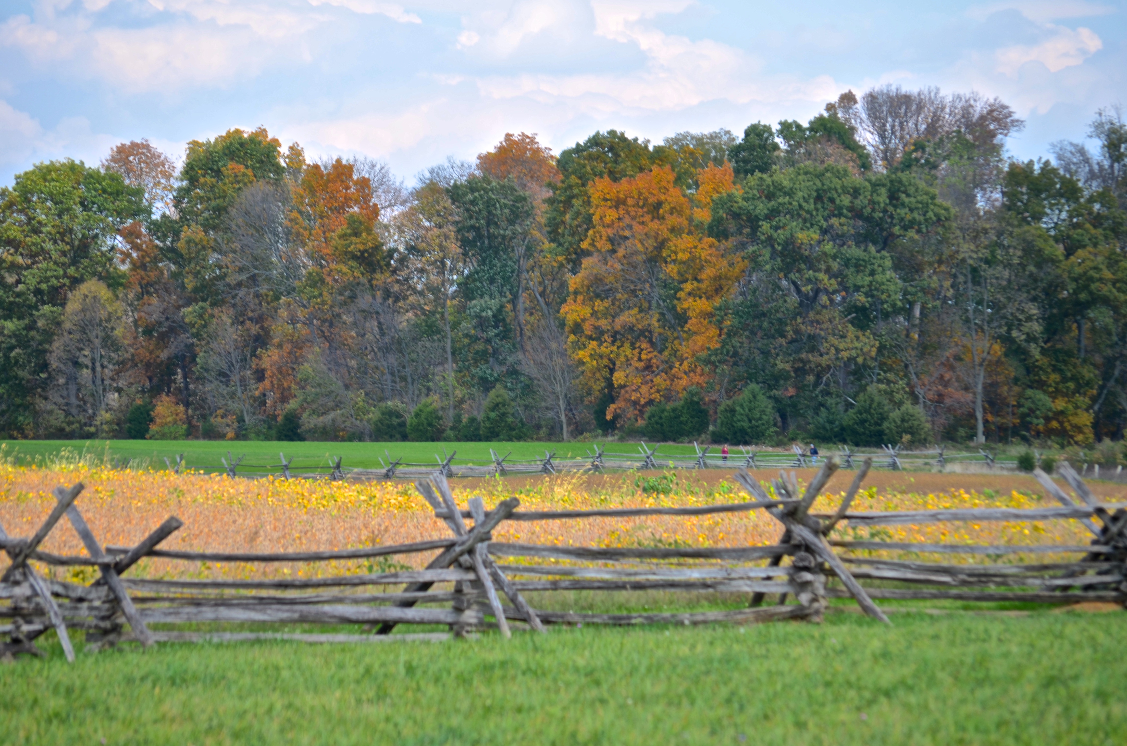
Cornfield, Antietam, rail fence
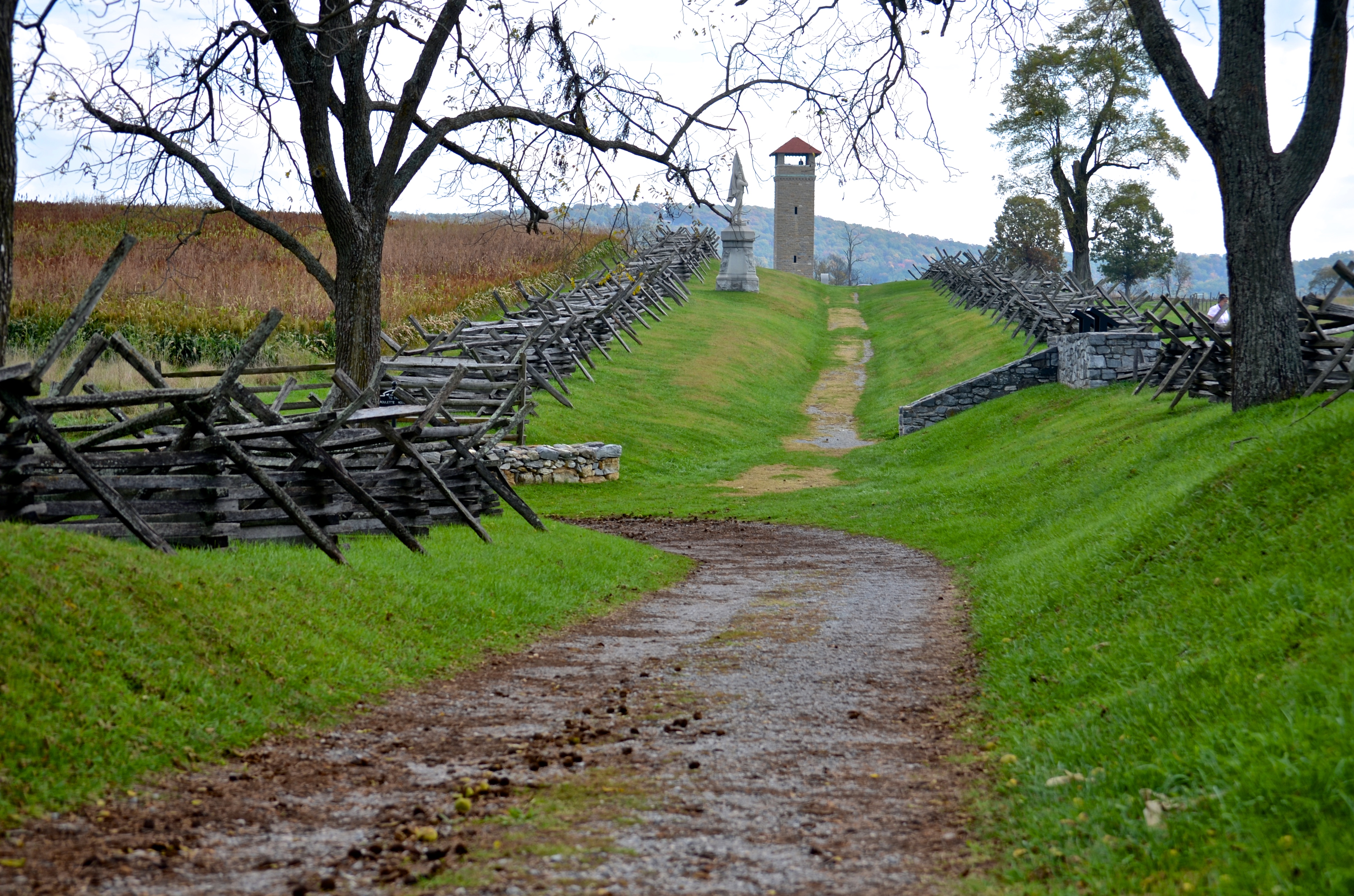
Bloody Lane, Antietam
view from the James Rumsey (Sheperdstown Pike) Bridge
View out another window
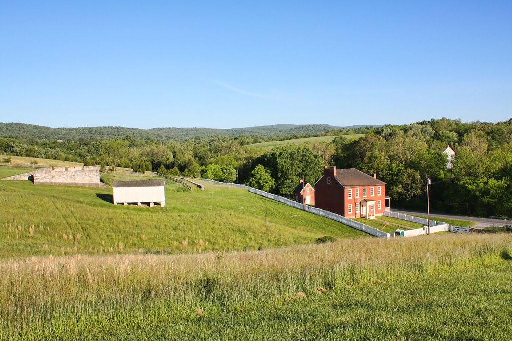
Sherrick Farm
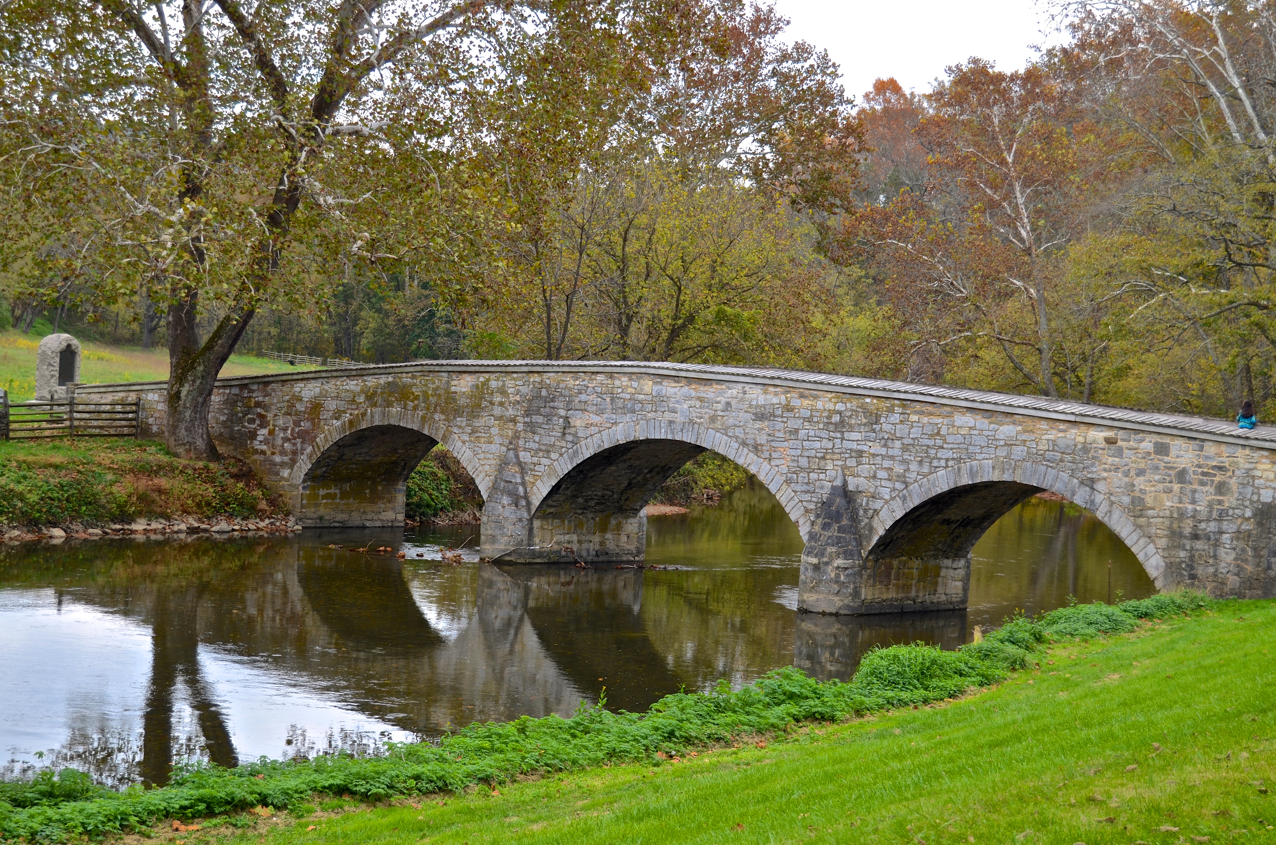
Burnside's Bridge, Antietam Creek
View from the Mumma Farm
Burnside's Bridge
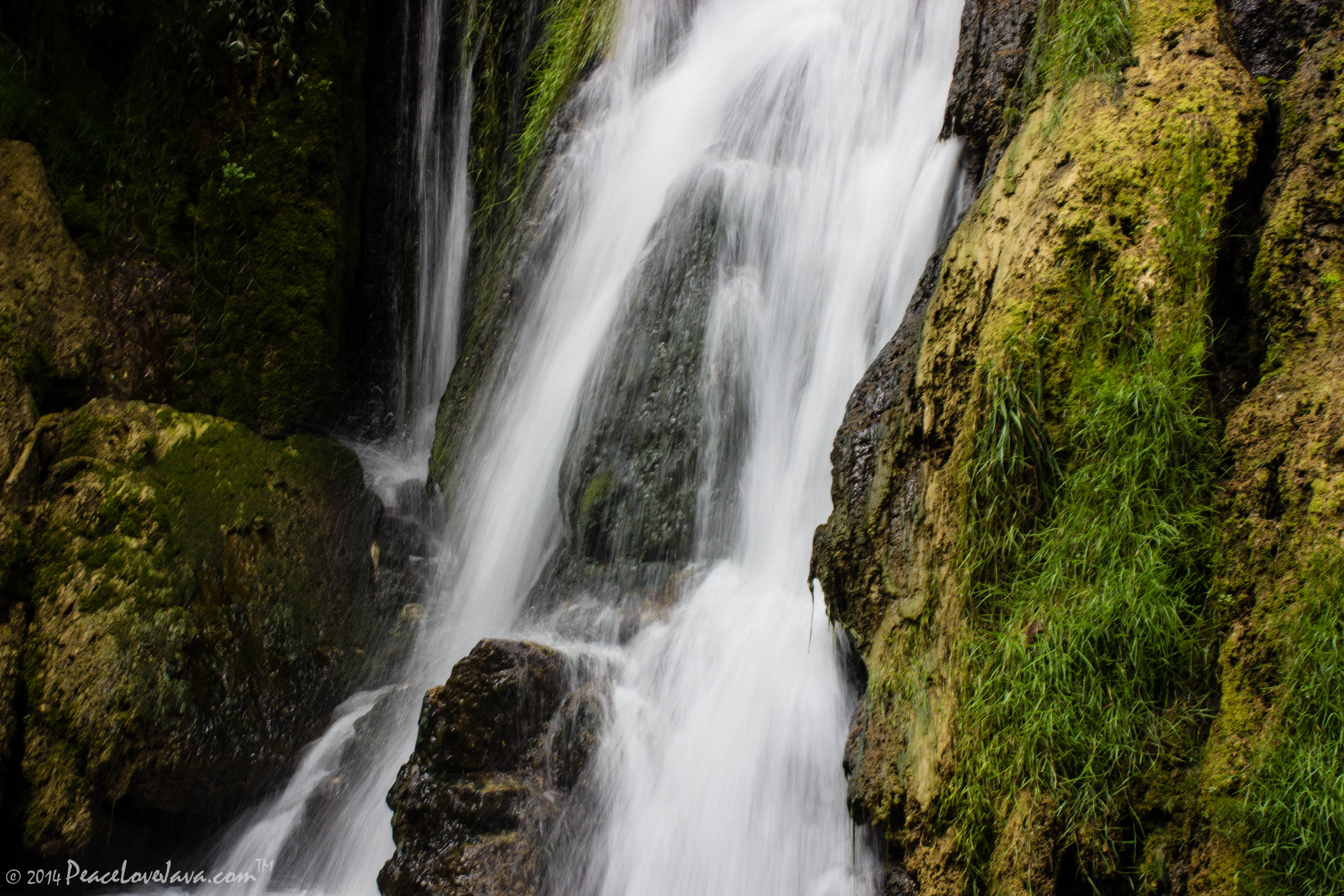
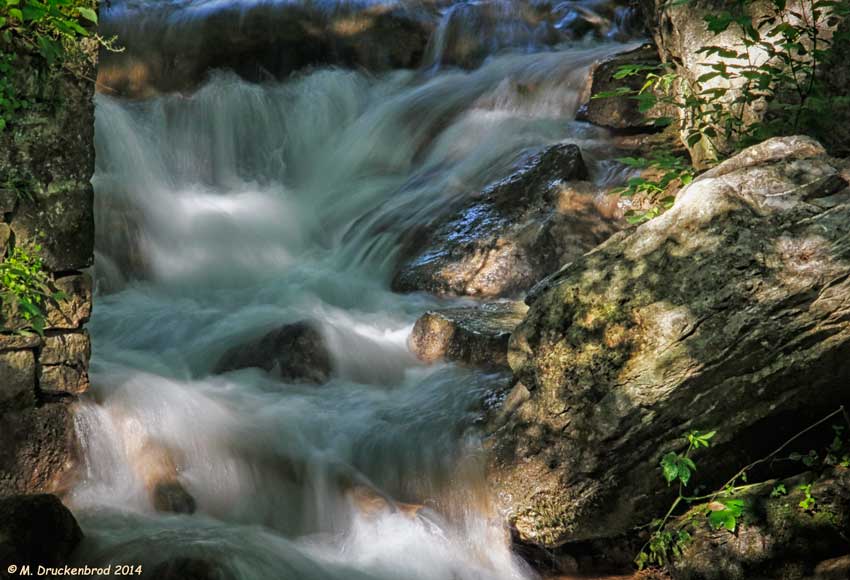
Falling Waters Falls Closeup

Falling Waters Falls

_RWB6254-Edit-Edit.jpg
0012 C&O Canal Towpath, MD

Greenbrier Lake, Boonsboro Maryland

0461 Red-bellied Woodpecker, Shepherdstown, WV

Twelve-Pound Napoleon Complex
Devils Backbone Park, Boonesboro MD silky water

_RWB6021-Edit.jpg

Antietam Battlefield - 2009-09-29 (68)
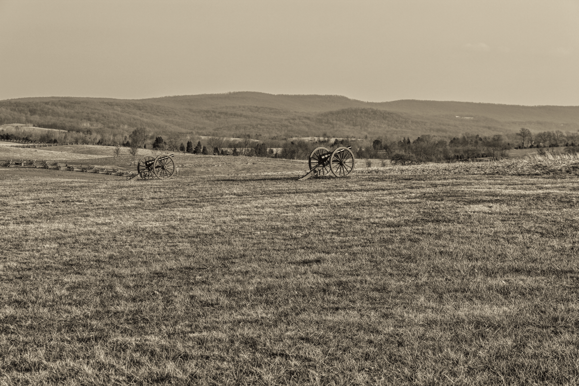
Antietam Battlefield

Wilson's Bridge County Park MD - 2014-07-25 (37)
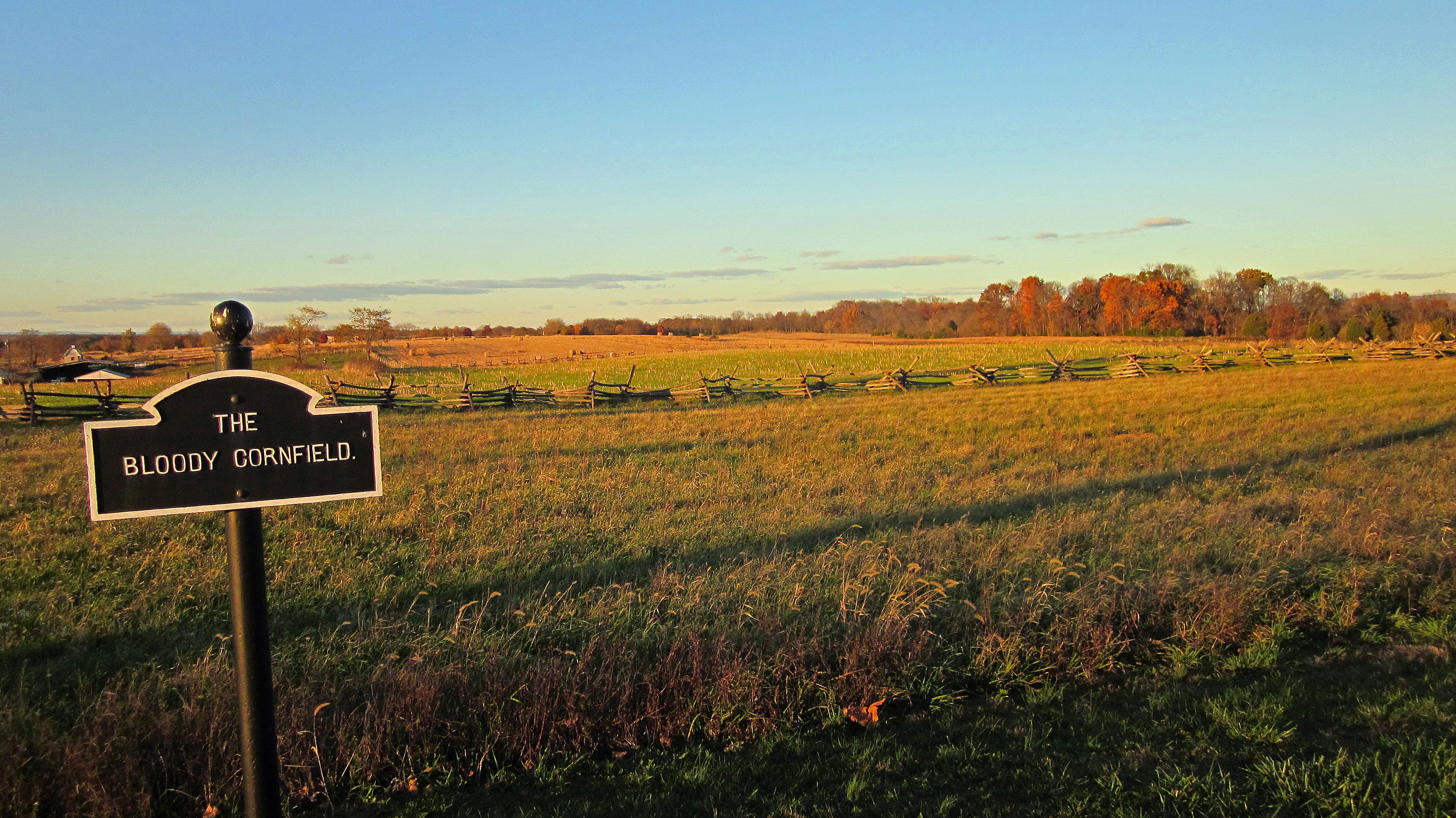
The Bloody Cornfield, Antietam Battlefield

Antietam Battlefield - 2009-09-29 (62)

ANTIETAM BLOODY LANE SUNDOWN
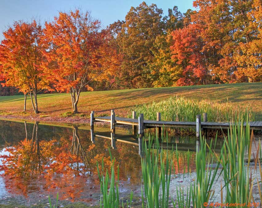
Fall reflections

A lakefront gazebo overlooking Greenbrier Lake
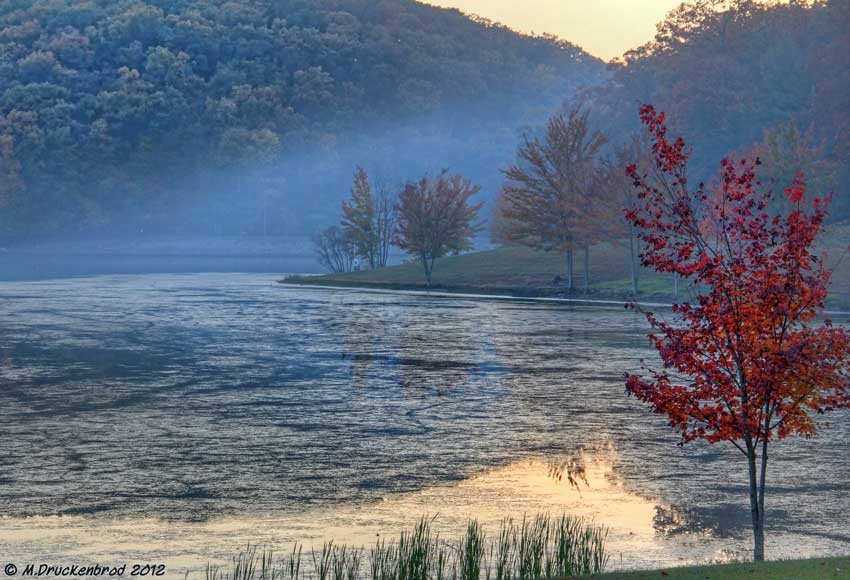
Sundown over Greenbrier Lake at Greenbrier State Park, Maryland

Antietam Battlefield - 2014-06-19 (16)

Antietam Battlefield - 2010-04-27 (79)
Topographic Map of Downsville Pike, Williamsport, MD, USA
Find elevation by address:

Places near Downsville Pike, Williamsport, MD, USA:
20, Downsville
16924 Bakersville Rd
169 Vaughndom Way
Dustin Dr, Sharpsburg, MD, USA
Woburn Rd, Sharpsburg, MD, USA
Neck Rd, Williamsport, MD, USA
12, Fairplay
Fairplay
Norman Dr, Fairplay, MD, USA
Bowie Rd, Sharpsburg, MD, USA
6509 Bowie Rd
16927 Tow Path Ln
Briar Mountain Drive
145 Muzzleloader Ln
General Jackson Cir, Sharpsburg, MD, USA
69 Kendig Ln
Sharpsburg
1, Sharpsburg
Harvest Ct, Keedysville, MD, USA
19, Keedysville
Recent Searches:
- Elevation of Sattva Horizon, 4JC6+G9P, Vinayak Nagar, Kattigenahalli, Bengaluru, Karnataka, India
- Elevation of Great Brook Sports, Gold Star Hwy, Groton, CT, USA
- Elevation of 10 Mountain Laurels Dr, Nashua, NH, USA
- Elevation of 16 Gilboa Ln, Nashua, NH, USA
- Elevation of Laurel Rd, Townsend, TN, USA
- Elevation of 3 Nestling Wood Dr, Long Valley, NJ, USA
- Elevation of Ilungu, Tanzania
- Elevation of Yellow Springs Road, Yellow Springs Rd, Chester Springs, PA, USA
- Elevation of Rēzekne Municipality, Latvia
- Elevation of Plikpūrmaļi, Vērēmi Parish, Rēzekne Municipality, LV-, Latvia