Elevation of Dunlap, OK, USA
Location: United States > Oklahoma >
Longitude: -99.675396
Latitude: 36.606701
Elevation: 614m / 2014feet
Barometric Pressure: 94KPa
Elevation Map:
Satellite Map:
Related Photos:

96-365

299-366-4

299-366-6
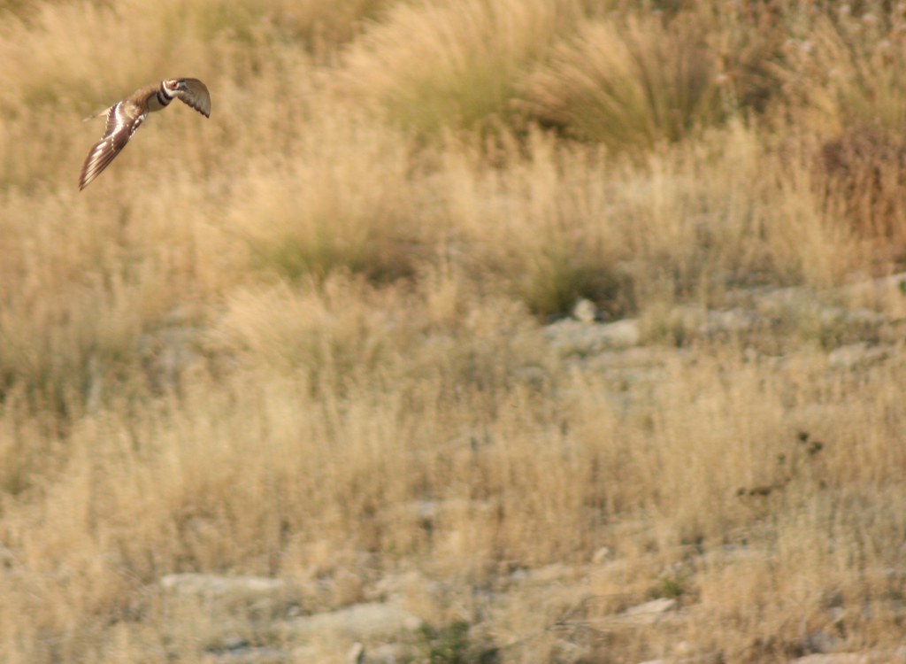
Flying Killdeer
DSC01077 - Copy
20140609-3

22-365
DSC04620.jpg
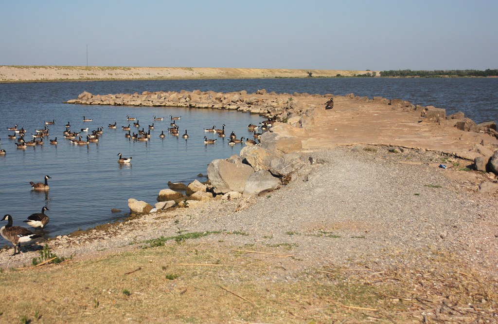
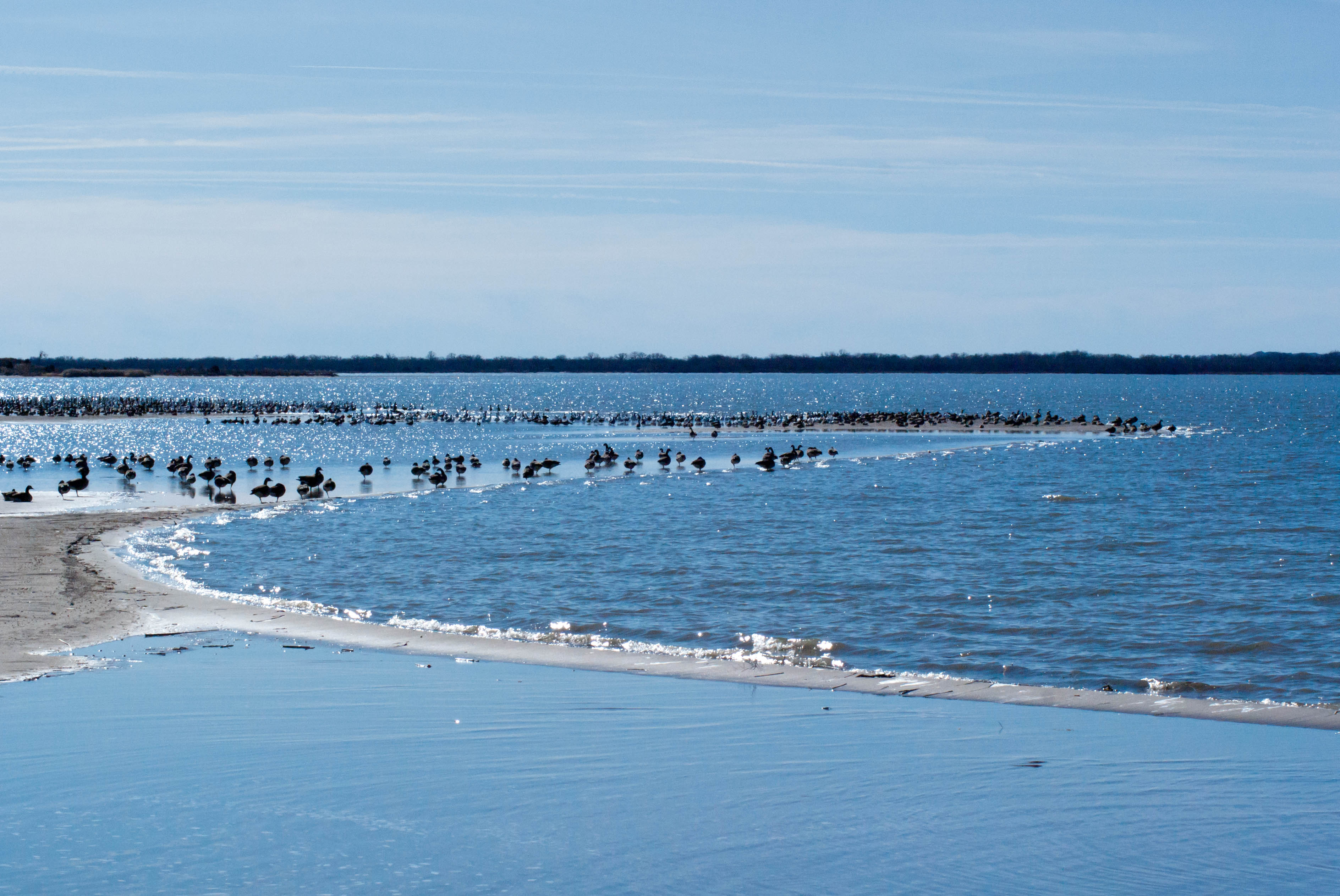
A Lot of Geese

USA 2014

272-366-9

350-366-5

350-366-6

316-366

350-366-7
Topographic Map of Dunlap, OK, USA
Find elevation by address:

Places near Dunlap, OK, USA:
Fort Supply
Sitka
Sitka
Ashland
8th Ave, Ashland, KS, USA
Comanche County
Clark County
Waynoka
Creek East
Liberty
Woods County
S Main St, Bucklin, KS, USA
Bucklin
Mullinville
South Ave, Mullinville, KS, USA
Bucklin
Kiowa County
Kiowa Rural
Northwestern Oklahoma State University
Alva
Recent Searches:
- Elevation of 24 Oakland Rd #, Scotland, ON N0E 1R0, Canada
- Elevation of Deep Gap Farm Rd E, Mill Spring, NC, USA
- Elevation of Dog Leg Dr, Minden, NV, USA
- Elevation of Dog Leg Dr, Minden, NV, USA
- Elevation of Kambingan Sa Pansol Atbp., Purok 7 Pansol, Candaba, Pampanga, Philippines
- Elevation of Pinewood Dr, New Bern, NC, USA
- Elevation of Mountain View, CA, USA
- Elevation of Foligno, Province of Perugia, Italy
- Elevation of Blauwestad, Netherlands
- Elevation of Bella Terra Blvd, Estero, FL, USA