Elevation of Fort Supply, OK, USA
Location: United States > Oklahoma > Woodward County >
Longitude: -99.572336
Latitude: 36.5736459
Elevation: 611m / 2005feet
Barometric Pressure: 94KPa
Elevation Map:
Satellite Map:
Related Photos:

DSC00633-Edit_4-Edit_5-Edit_tonemapped
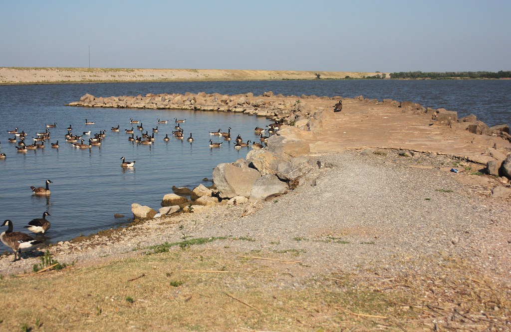
A Lot of Geese

USA 2014

350-366-5

350-366-6

96-365

Flying Killdeer
DSC01077 - Copy

Flying Killdeer

22-365
DSC04620.jpg

299-366-4

272-366-9

299-366-6

316-366

350-366-7
Topographic Map of Fort Supply, OK, USA
Find elevation by address:

Places near Fort Supply, OK, USA:
Dunlap
Sitka
Sitka
Ashland
8th Ave, Ashland, KS, USA
Comanche County
Waynoka
Clark County
Creek East
Woods County
Liberty
Northwestern Oklahoma State University
Alva
S Main St, Bucklin, KS, USA
Bucklin
Elwood
Kiowa County
Kiowa Rural
Mullinville
South Ave, Mullinville, KS, USA
Recent Searches:
- Elevation of Sadovaya Ulitsa, 20, Rezh, Sverdlovskaya oblast', Russia
- Elevation of Ulitsa Kalinina, 79, Rezh, Sverdlovskaya oblast', Russia
- Elevation of 72-31 Metropolitan Ave, Middle Village, NY, USA
- Elevation of 76 Metropolitan Ave, Brooklyn, NY, USA
- Elevation of Alisal Rd, Solvang, CA, USA
- Elevation of Vista Blvd, Sparks, NV, USA
- Elevation of 15th Ave SE, St. Petersburg, FL, USA
- Elevation of Beall Road, Beall Rd, Florida, USA
- Elevation of Leguwa, Nepal
- Elevation of County Rd, Enterprise, AL, USA