Elevation of Bucklin, KS, USA
Location: United States > Kansas > Ford County >
Longitude: -99.611866
Latitude: 37.6073321
Elevation: 725m / 2379feet
Barometric Pressure: 93KPa
Elevation Map:
Satellite Map:
Related Photos:
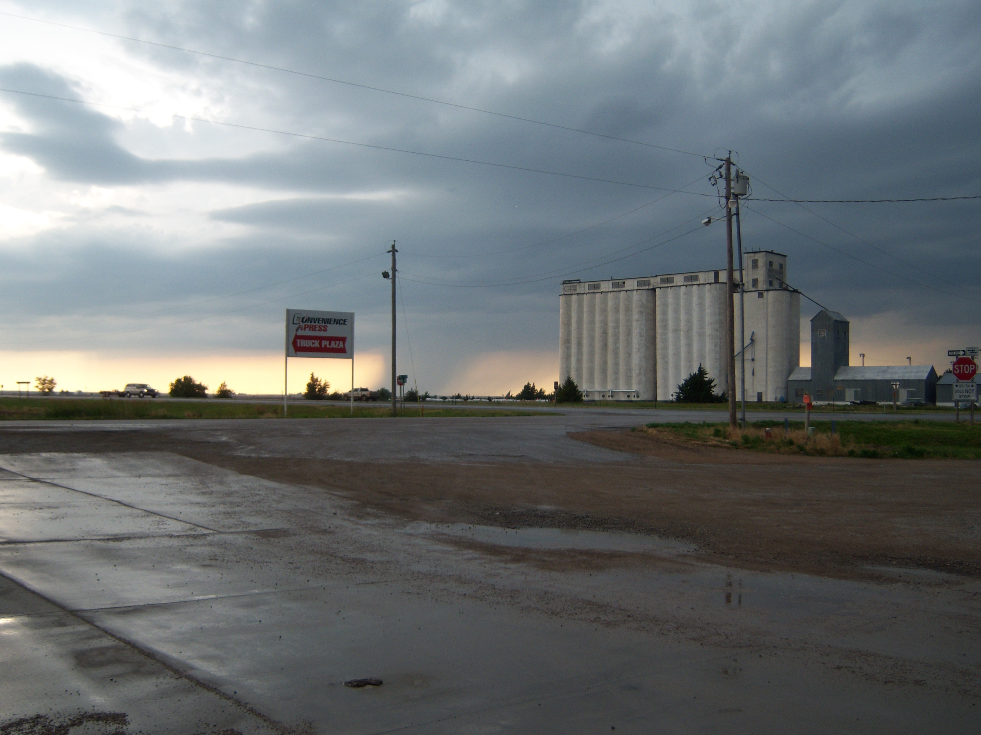
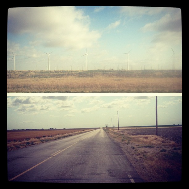
Road Trip: Kansas Weather
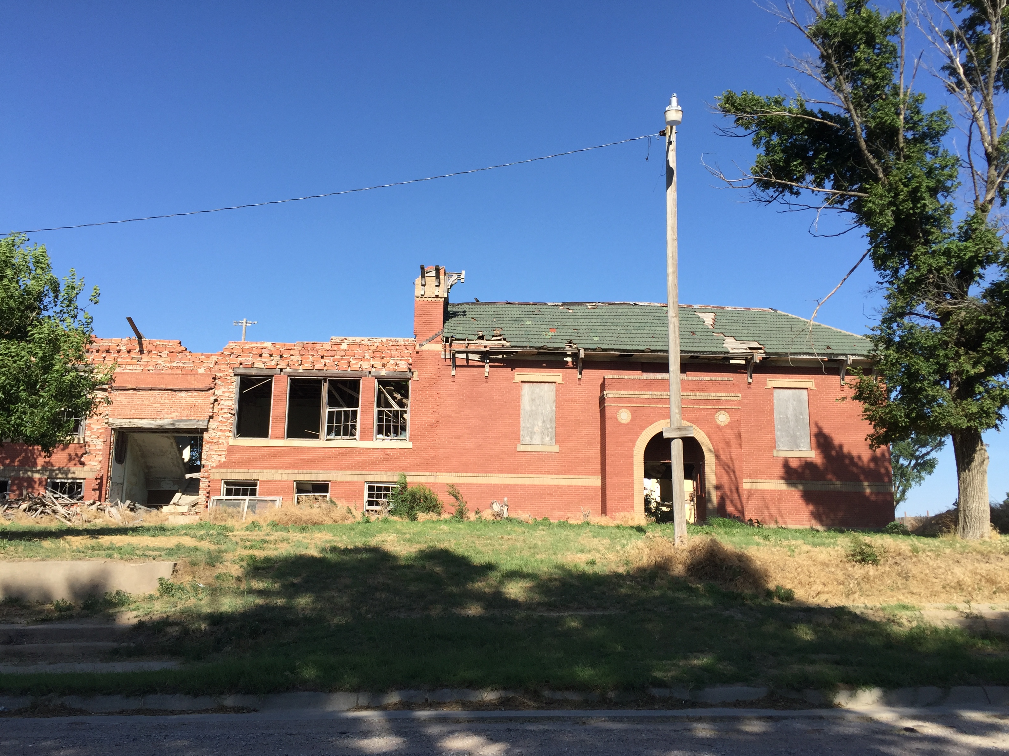
45. Another view of the old school. The second floor has been removed, but the rest strangely remains, Ford, 6-21-16
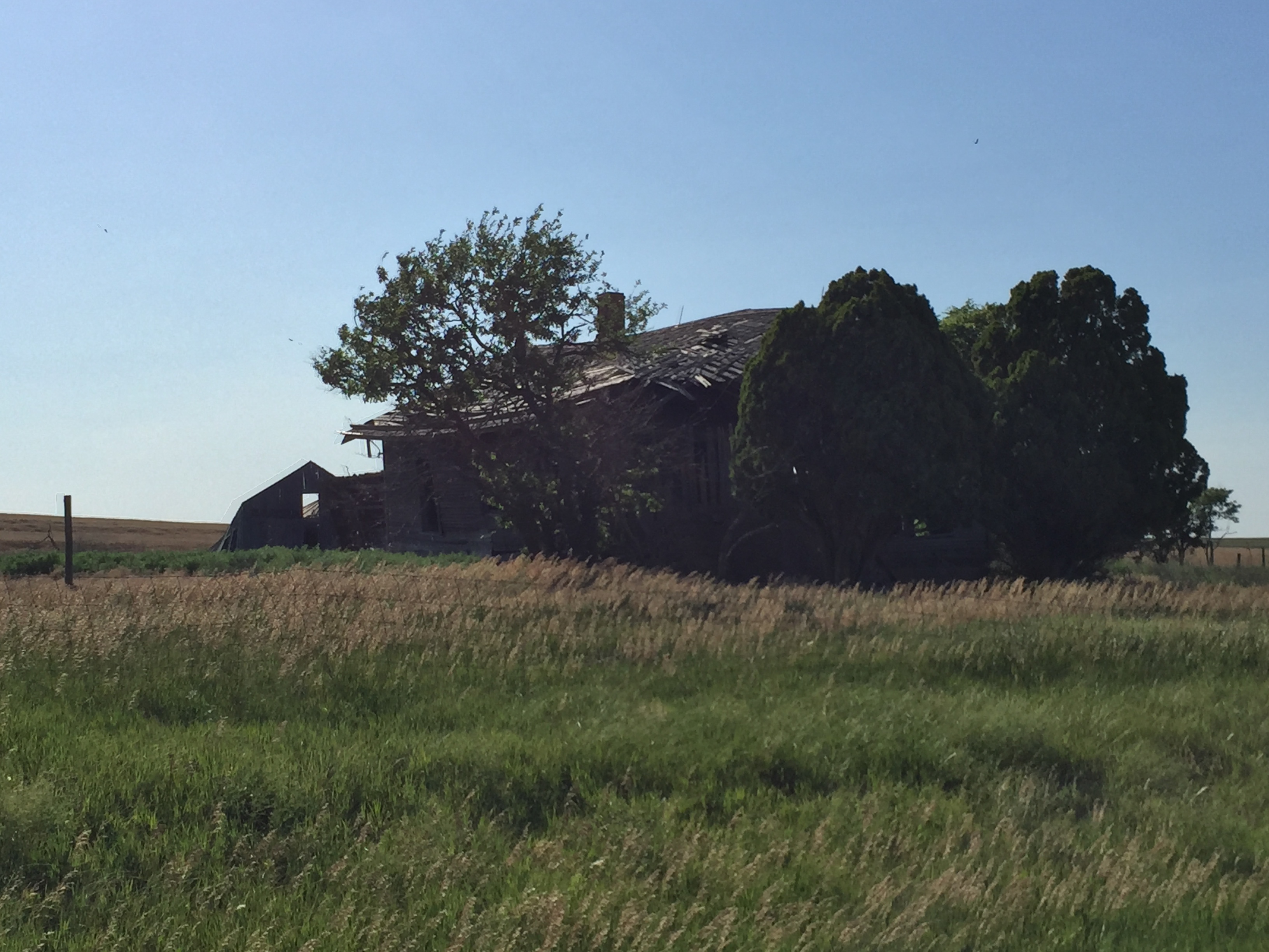
54. View of the dilapidated home from the south, south of Bucklin, 6-21-16
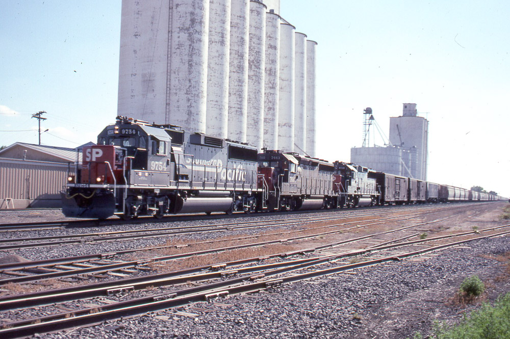
Southern Pacific GP60 #9754 leads a train past the elevators in Bucklin KS on 7/24/91
Road Trip: Kansas Weather
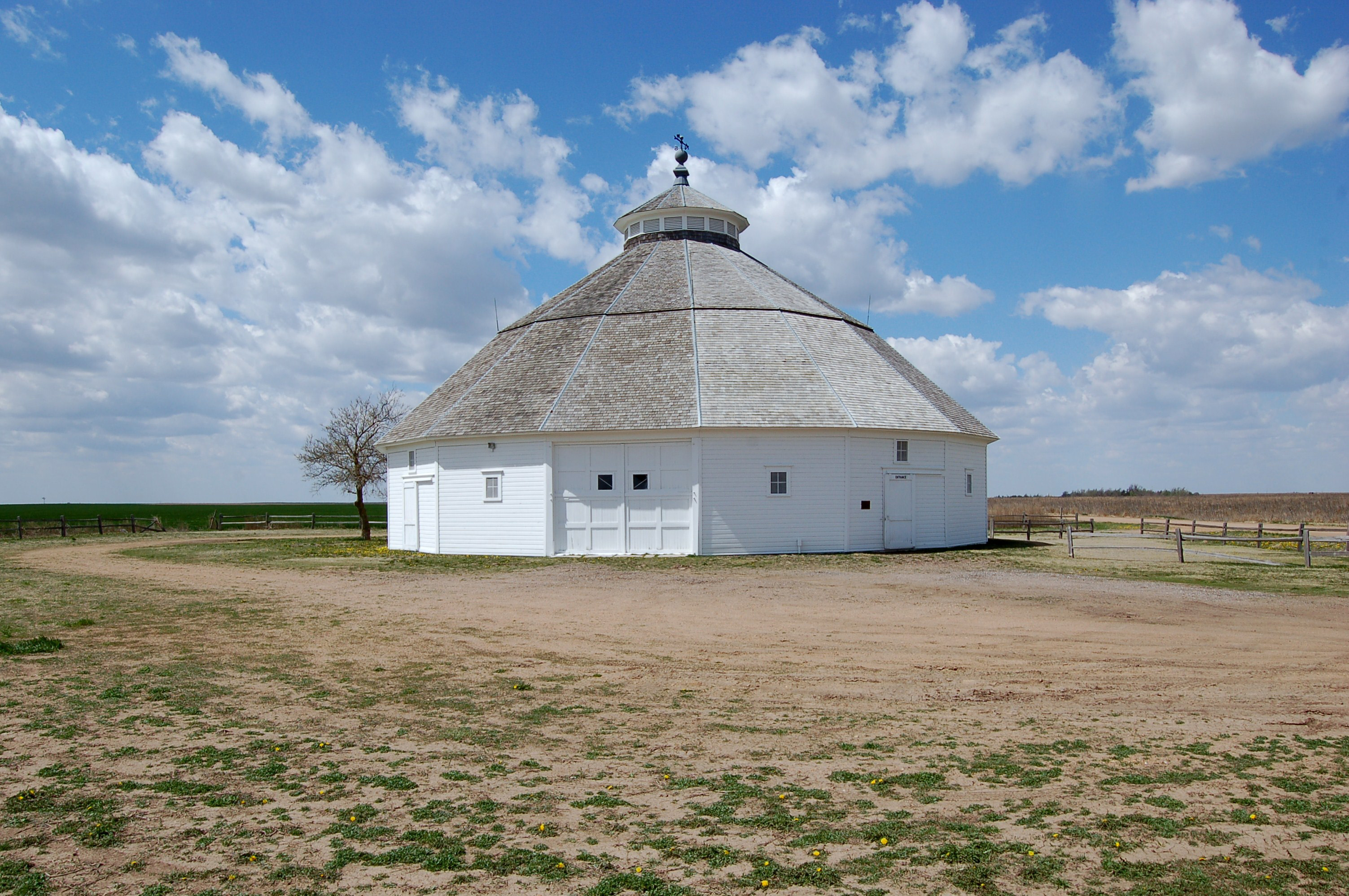
Kansas, Kiowa County, Fromme-Birney Barn (2,412)

Organizing Storm
We're not in Colorado any more... @TeamRWB #raam2012
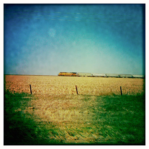
Train Crossing Kansas
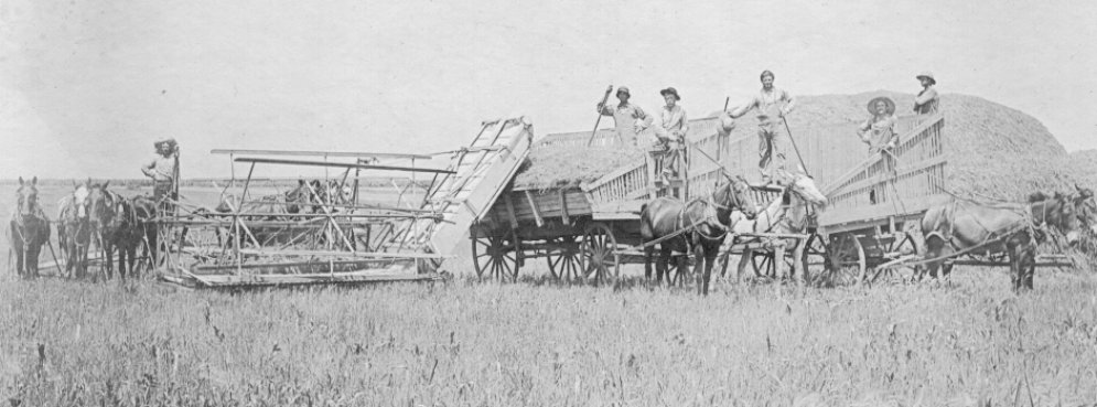
Wheat Threshing Kiowa
Topographic Map of Bucklin, KS, USA
Find elevation by address:

Places in Bucklin, KS, USA:
Places near Bucklin, KS, USA:
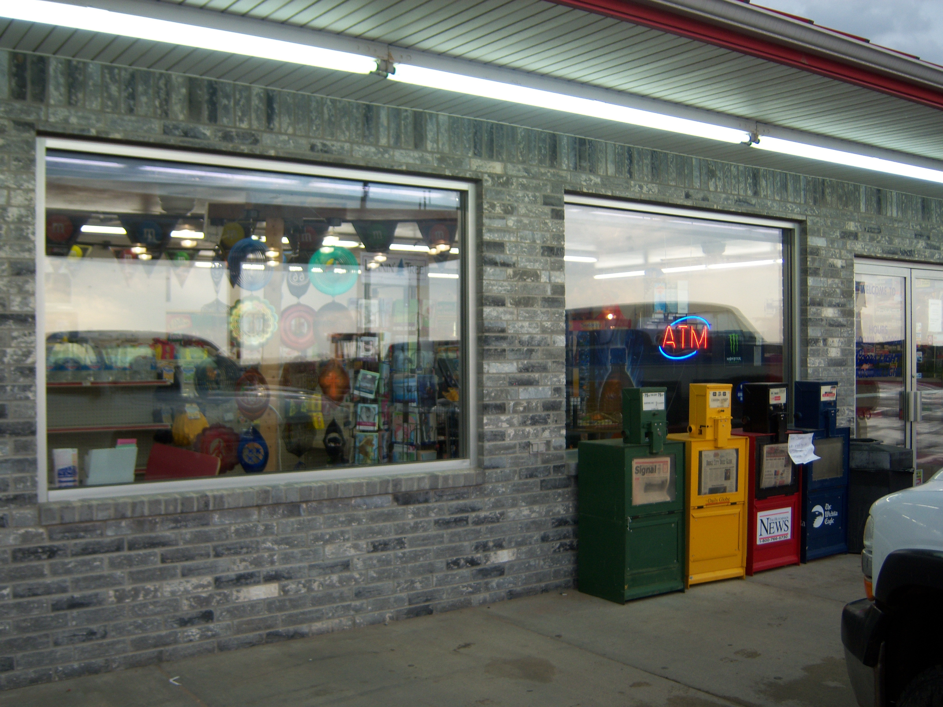
S Main St, Bucklin, KS, USA
Bucklin
Mullinville
South Ave, Mullinville, KS, USA
Main St, Ford, KS, USA
Ford
Liberty
Ford
Creek East
Ford County
Greensburg
Kiowa County
Kiowa Rural
Clark County
Kinsley
Kinsley
Edwards County
Sitka
Ashland
8th Ave, Ashland, KS, USA
Recent Searches:
- Elevation of Lampiasi St, Sarasota, FL, USA
- Elevation of Elwyn Dr, Roanoke Rapids, NC, USA
- Elevation of Congressional Dr, Stevensville, MD, USA
- Elevation of Bellview Rd, McLean, VA, USA
- Elevation of Stage Island Rd, Chatham, MA, USA
- Elevation of Shibuya Scramble Crossing, 21 Udagawacho, Shibuya City, Tokyo -, Japan
- Elevation of Jadagoniai, Kaunas District Municipality, Lithuania
- Elevation of Pagonija rock, Kranto 7-oji g. 8"N, Kaunas, Lithuania
- Elevation of Co Rd 87, Jamestown, CO, USA
- Elevation of Tenjo, Cundinamarca, Colombia