Elevation of Dry Creek Rd, Jonesborough, TN, USA
Location: United States > Tennessee > Washington County > Jonesborough >
Longitude: -82.435921
Latitude: 36.2074268
Elevation: 479m / 1572feet
Barometric Pressure: 96KPa
Elevation Map:
Satellite Map:
Related Photos:

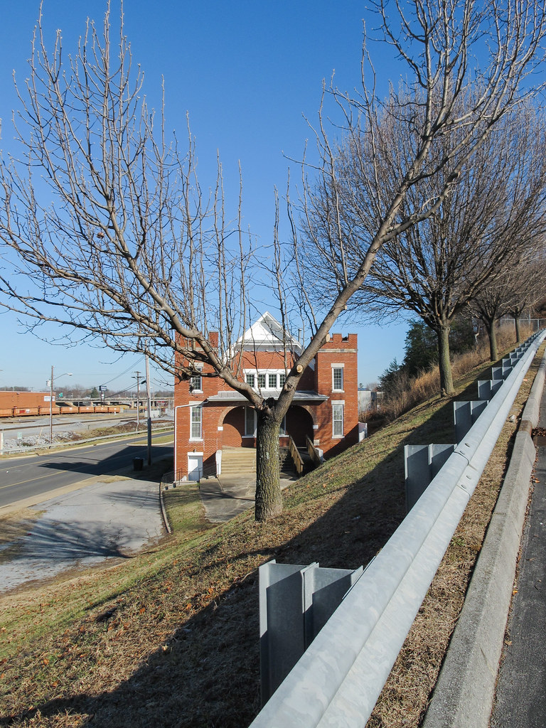
First Presbyterian Church - Jonesborough, TN
Erwin, TN

Watching the Game

My view - what are you looking at right now?

203 walking down path to parking lot

View from Beauty Spot

Buffalo Pano

Pinnacle Mountain Fire Tower HDR Panorama

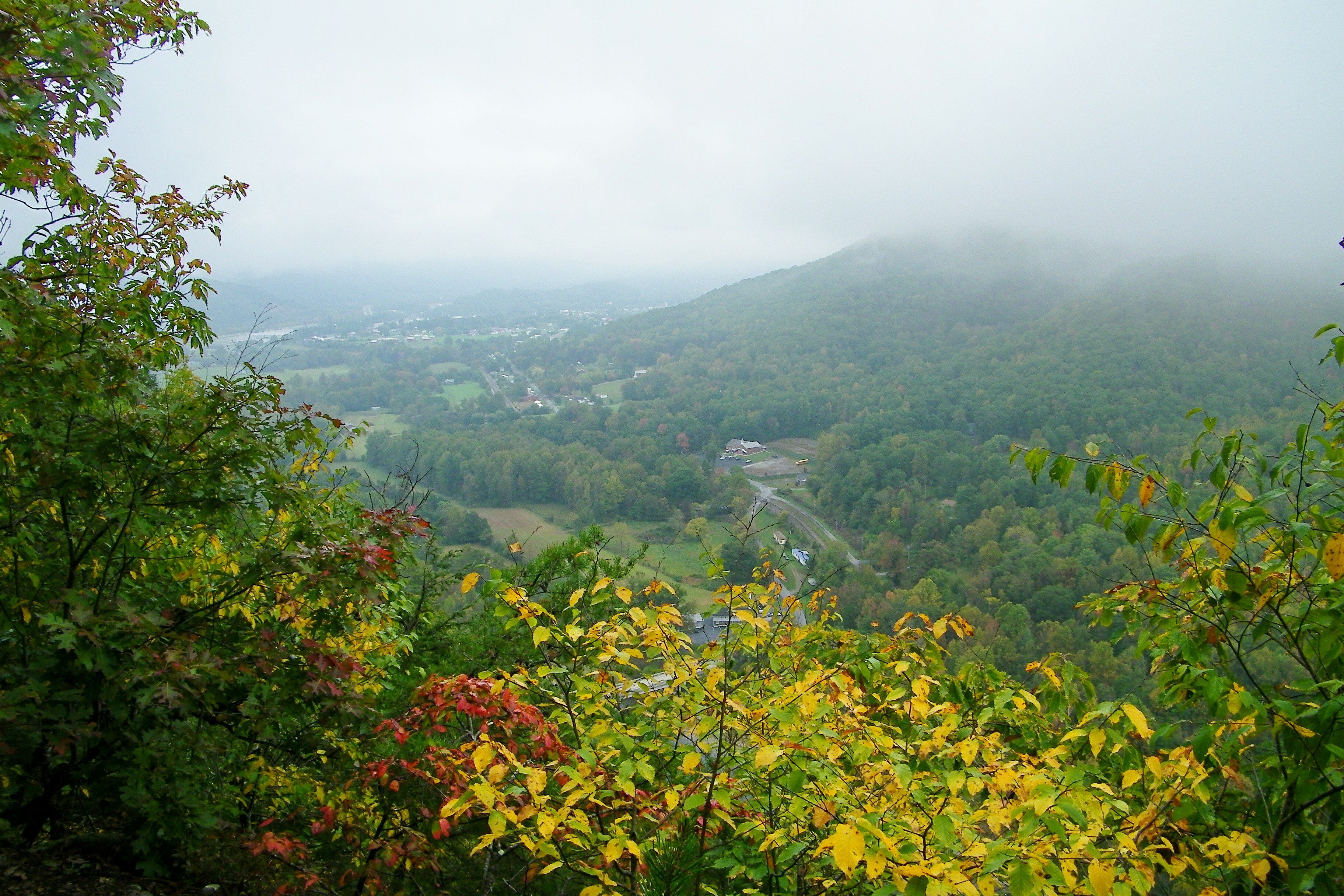
View from Beauty Spot

First Presbyterian Church - Jonesborough, TN

2013.12.27 125K Views

201 Claire on the trail

195 Trail to top of hill at rest stop in Tennessee
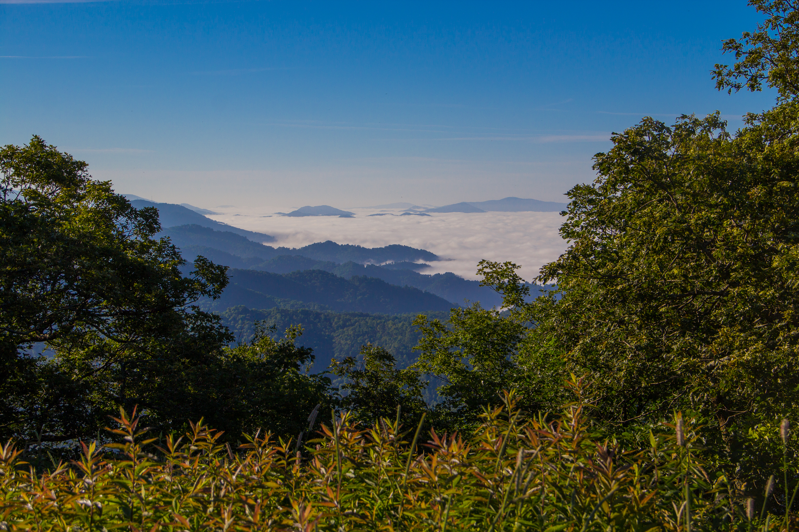
Fog Below Roan Mountain, Pisgah National Forest, North Carolina

Pinnacle Tower HDR Panorama 2
Great view

View from Beauty Spot

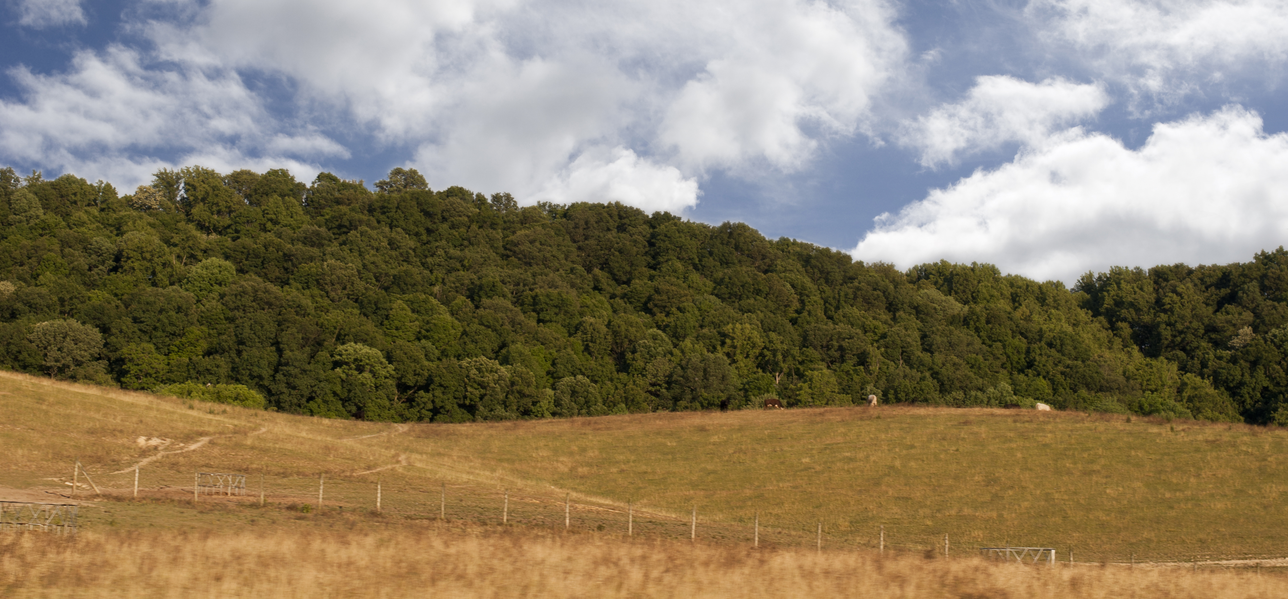
Buffalo Mountain
A view of a building!

197 On the trail to the top
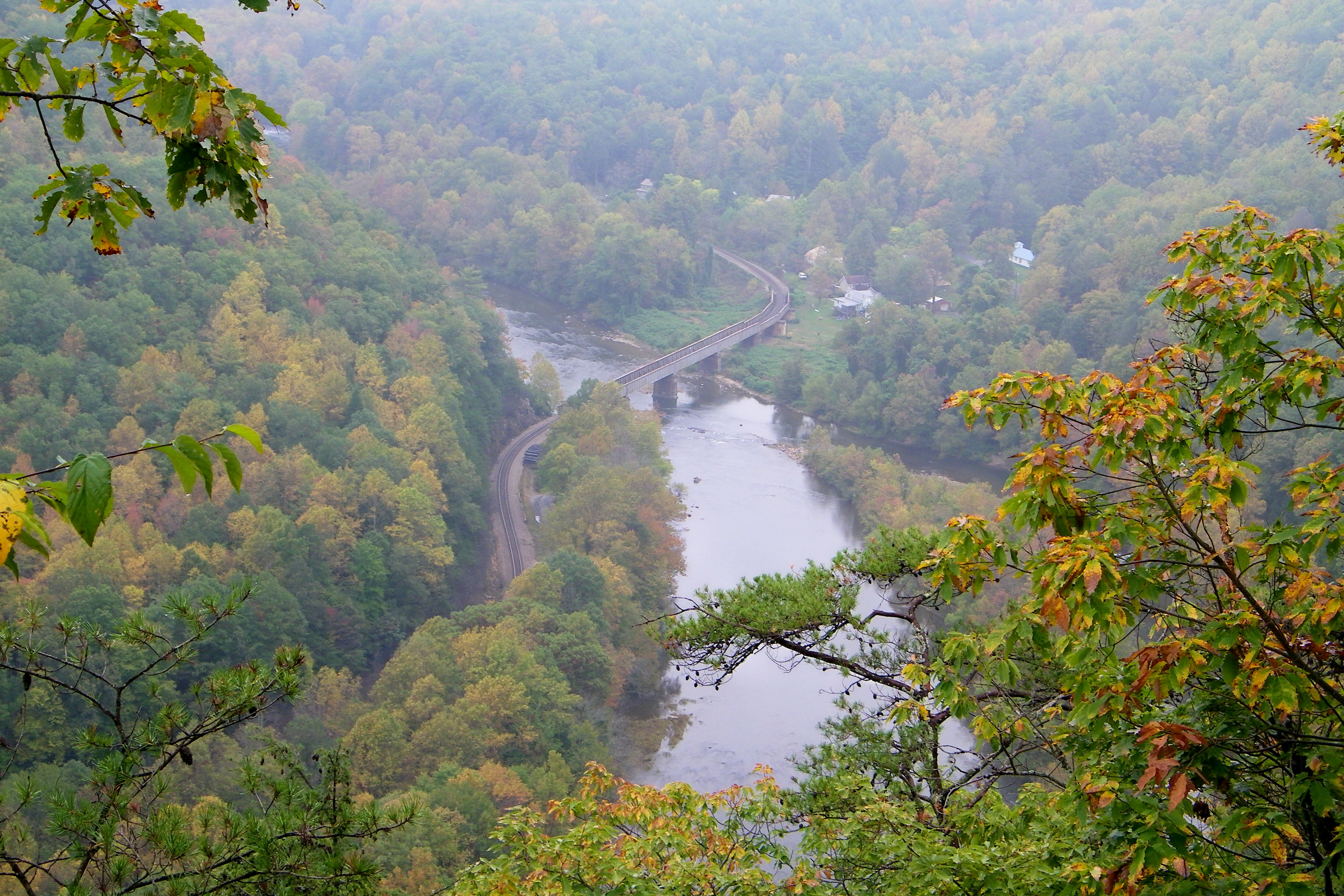
Railroad Trestle over the Nolichucky River

The old homestead at sunrise

IMG_9063.JPG
#Nolichucky #Unicoi #erwin #unicoicounty

#firetower #pinnacle #Unicoi #forecast #weatherforecast
#Nolichucky #Unicoi #erwin #unicoicounty

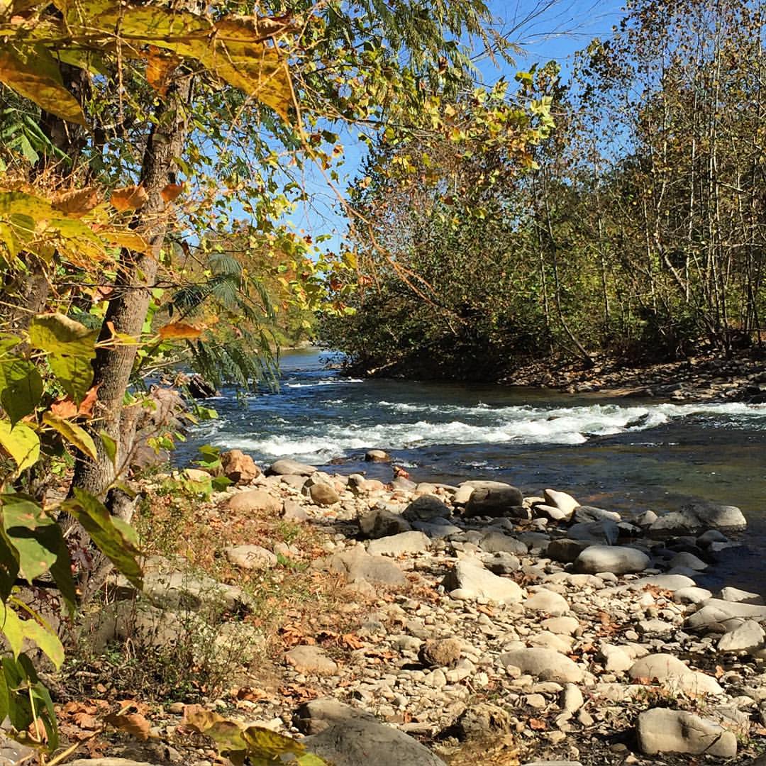
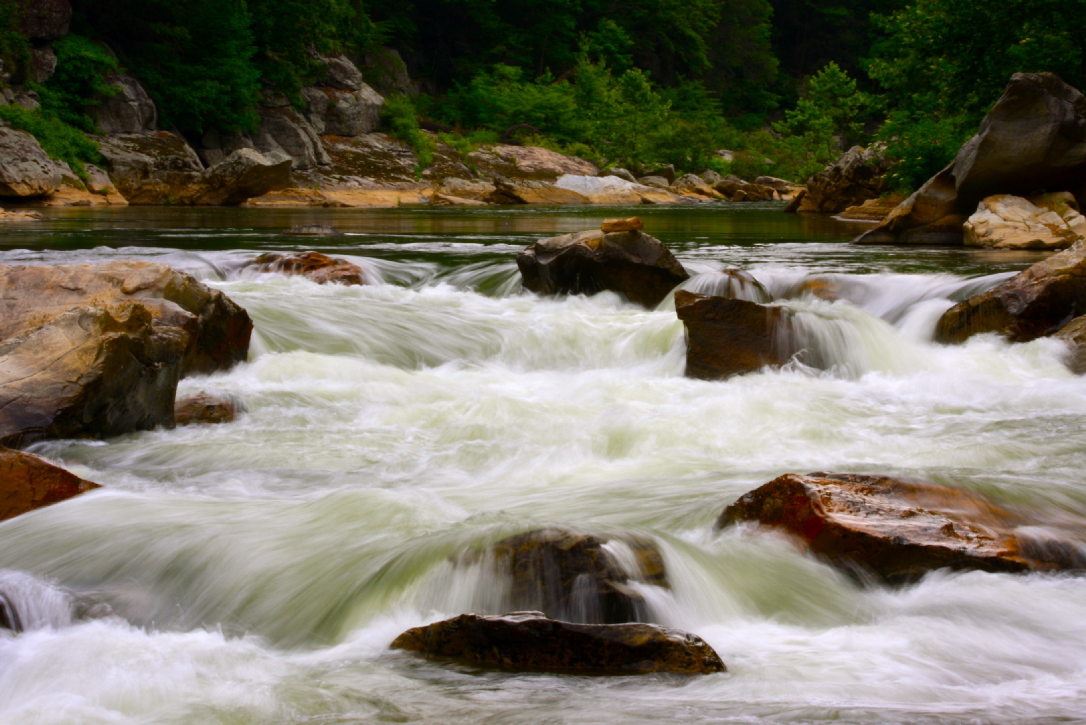
Nolichucky River

WP_20141124_040.JPG
London would be proud
Luscious Landscape Layers

Moon Over White Blaze
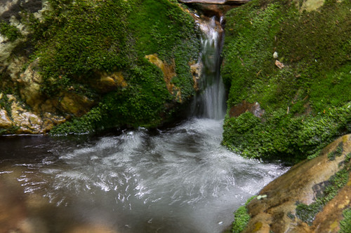
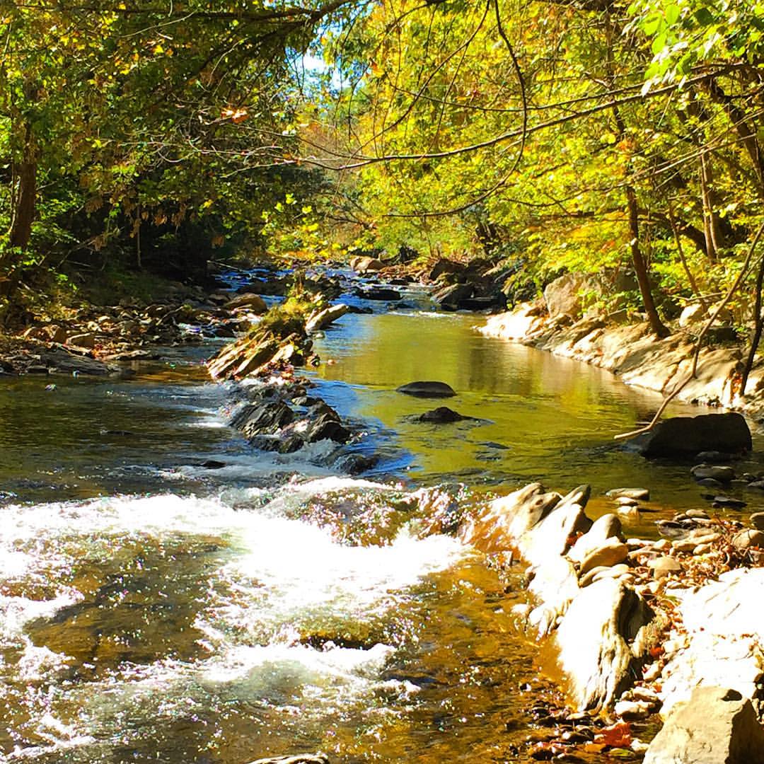
Rock Creek Hike
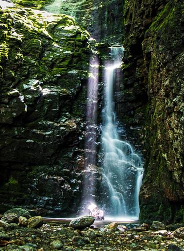
Rock Creek Hike

Pine Oaks Golf Course

Rock Creek Hike
rafting Nolichucky River Gwen Fred Sam Rhett Nantahala Outdoor Center Erwin TN 07-30-2012

#park #erwinlineartrail #fall #leaves #erwin
Topographic Map of Dry Creek Rd, Jonesborough, TN, USA
Find elevation by address:

Places near Dry Creek Rd, Jonesborough, TN, USA:
302 Dry Creek Rd
Deacon Creek Road
221 Bumpus Cove Rd
Nelson Hollow Road
355 Wilson Rd
206 Railroad St
19 Pippin Cir
1150 Prince Ave
1053 Mountainview Rd
721 N Elm Ave
207 Old Farm Rd
401 N Main Ave
217 2nd St
500 Ash St
111 S Main Ave
Erwin
Erwin
Erwin
Erwin
Erwin
Recent Searches:
- Elevation of Tenjo, Cundinamarca, Colombia
- Elevation of Côte-des-Neiges, Montreal, QC H4A 3J6, Canada
- Elevation of Bobcat Dr, Helena, MT, USA
- Elevation of Zu den Ihlowbergen, Althüttendorf, Germany
- Elevation of Badaber, Peshawar, Khyber Pakhtunkhwa, Pakistan
- Elevation of SE Heron Loop, Lincoln City, OR, USA
- Elevation of Slanický ostrov, 01 Námestovo, Slovakia
- Elevation of Spaceport America, Co Rd A, Truth or Consequences, NM, USA
- Elevation of Warwick, RI, USA
- Elevation of Fern Rd, Whitmore, CA, USA