Elevation of S Main Ave, Erwin, TN, USA
Location: United States > Tennessee > Unicoi County > Erwin >
Longitude: -82.417290
Latitude: 36.1449897
Elevation: 511m / 1677feet
Barometric Pressure: 95KPa
Elevation Map:
Satellite Map:
Related Photos:

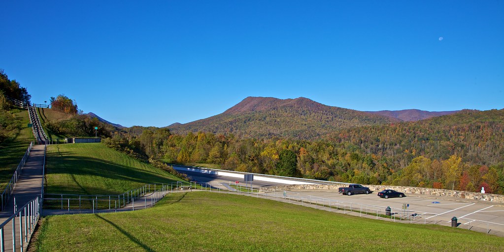
203 walking down path to parking lot

View from Beauty Spot

Pinnacle Mountain Fire Tower HDR Panorama

Buffalo Pano
View-Top of Lost Cove

195 Trail to top of hill at rest stop in Tennessee
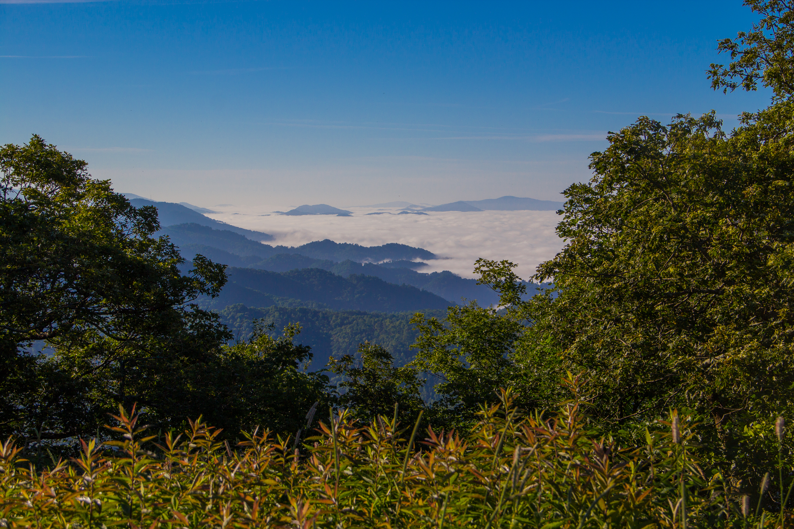
Fog Below Roan Mountain, Pisgah National Forest, North Carolina

Pinnacle Tower HDR Panorama 2

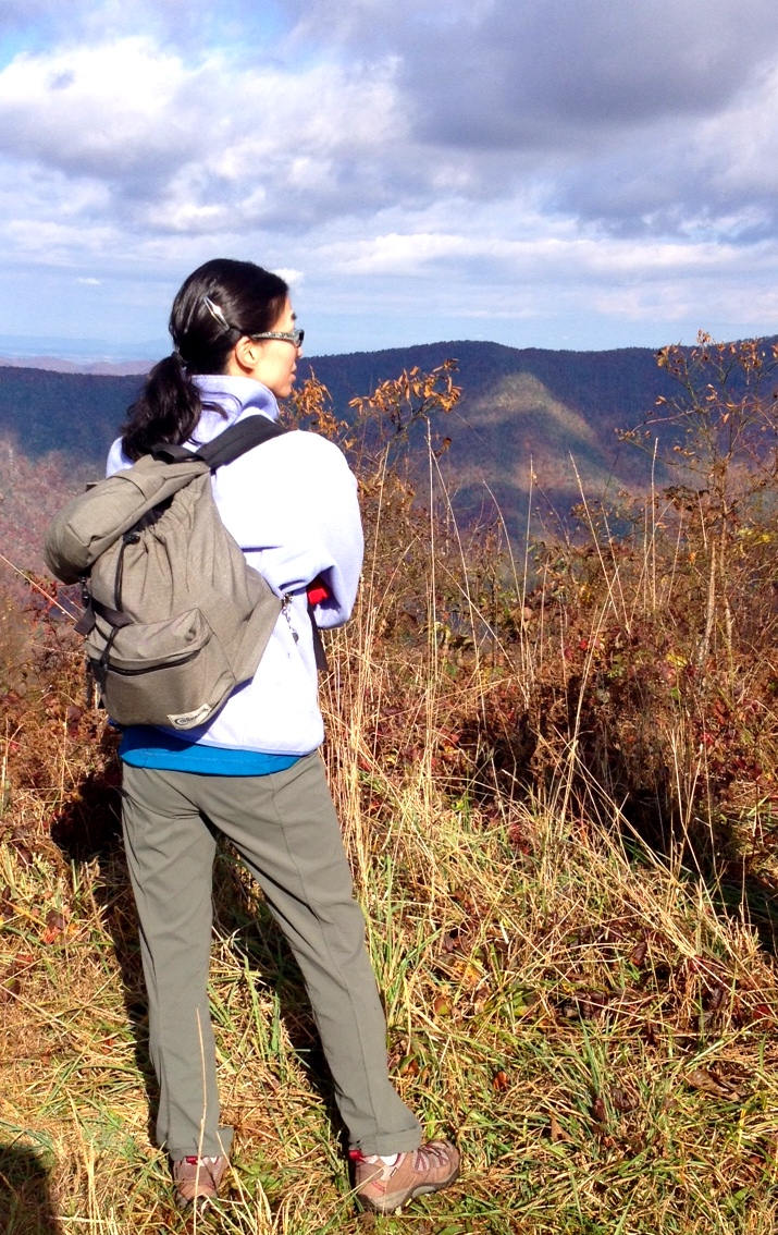
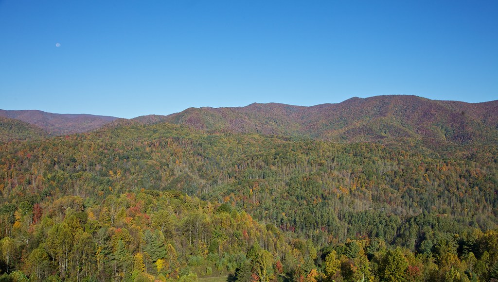
View from Beauty Spot
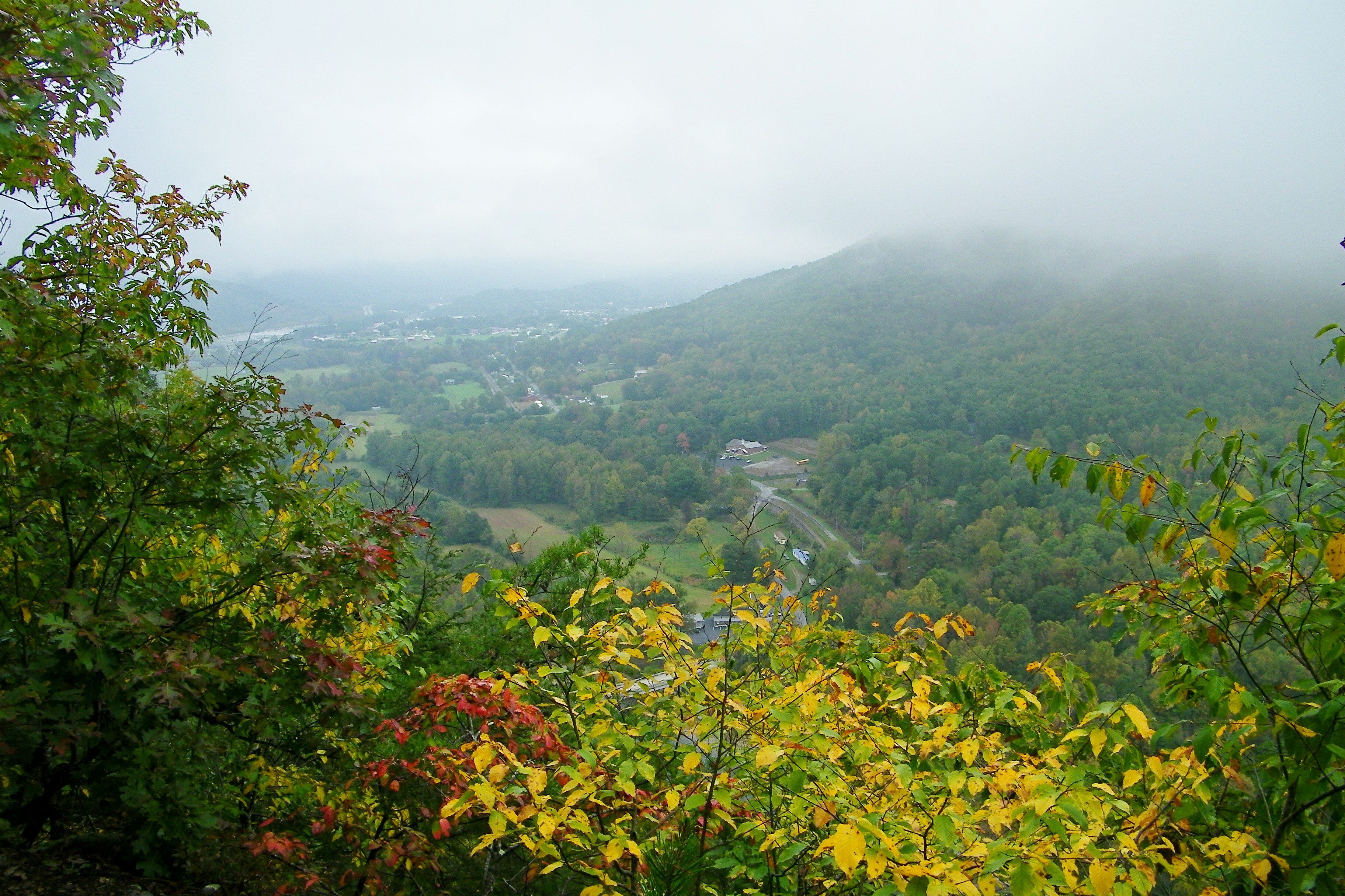
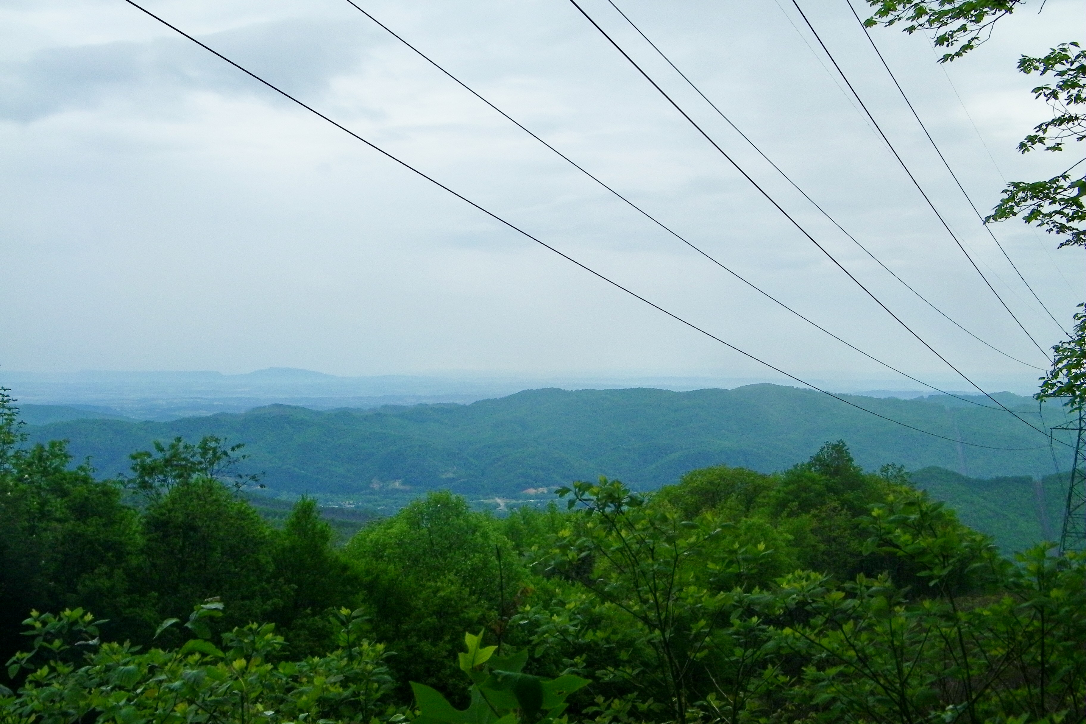
Erwin, TN

197 On the trail to the top
Appalachian Trail
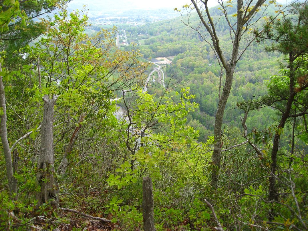
199 View top of the trail
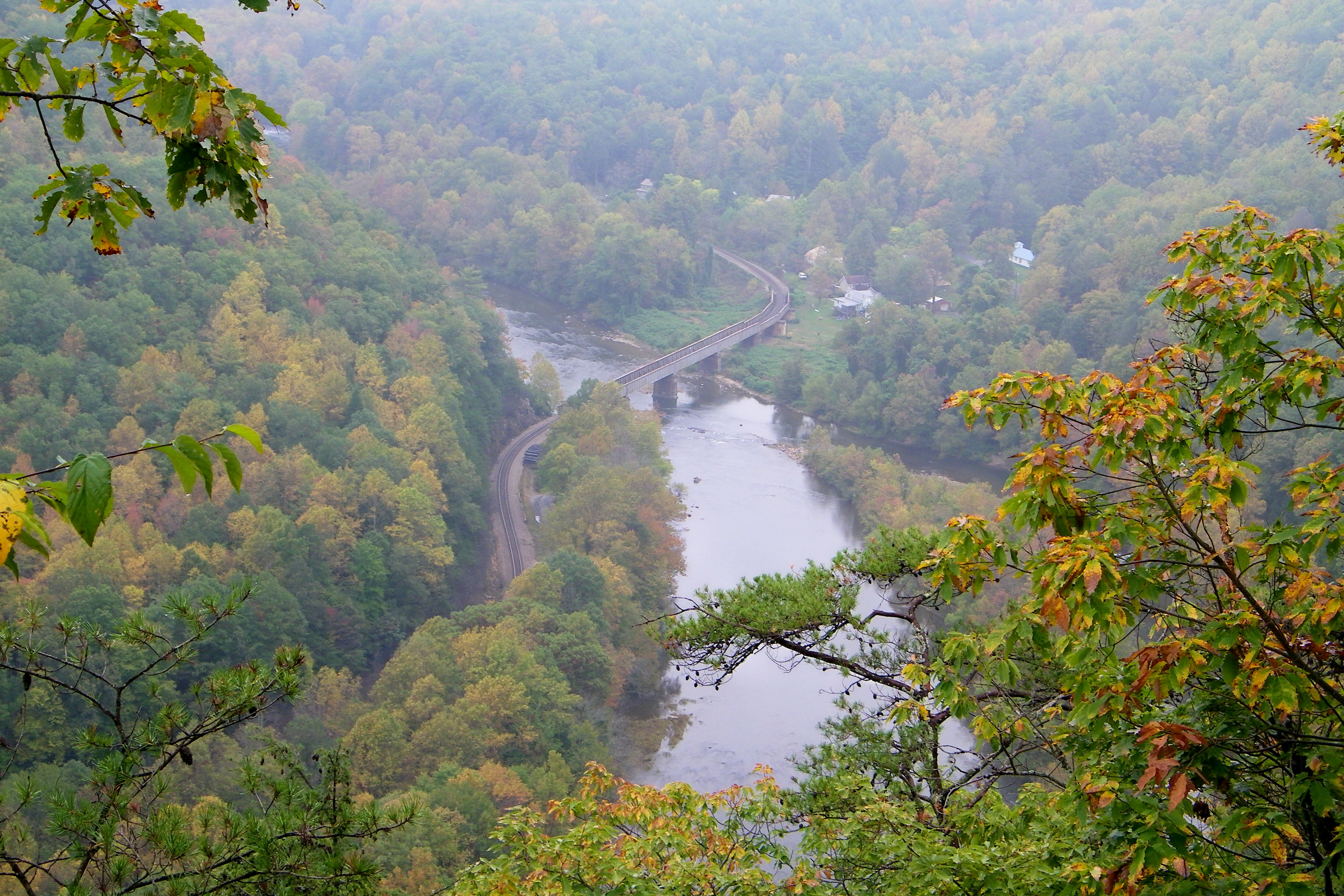
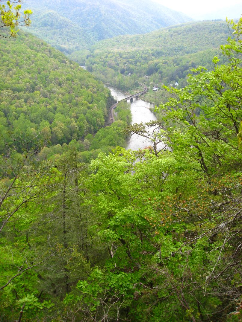
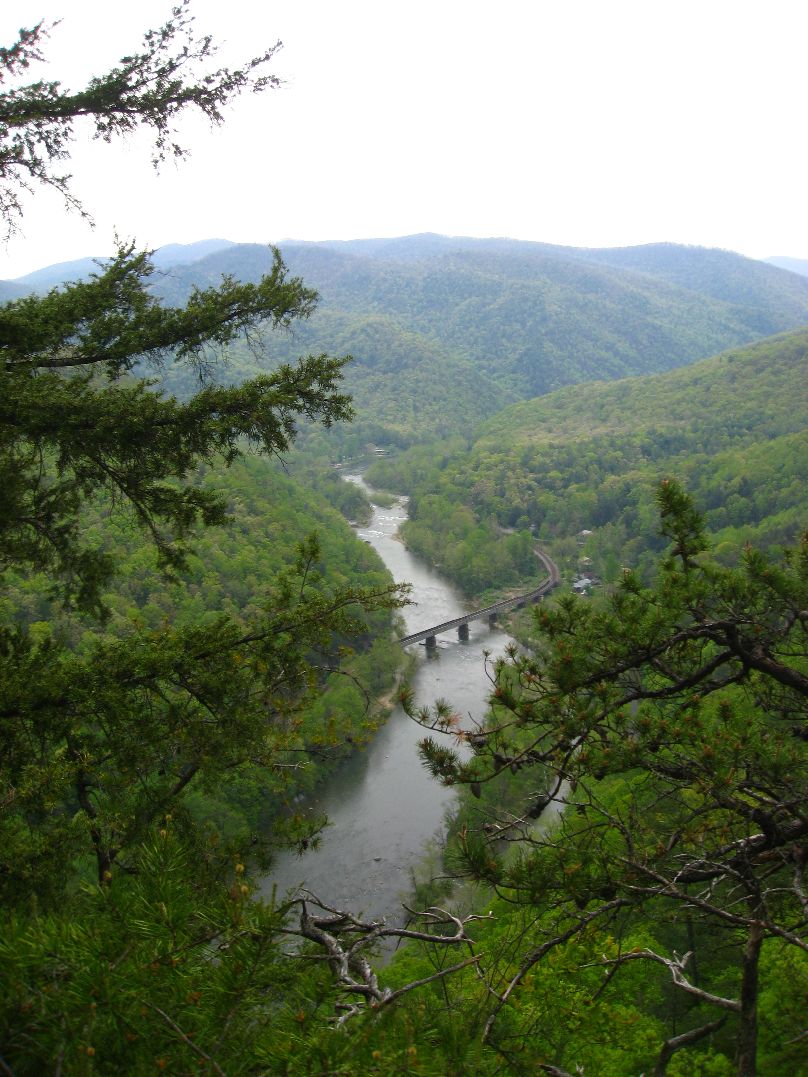
Railroad Trestle over the Nolichucky River

20100424-131822
20100424-131516
193 First Scenic Lookout on Hwy 26 East into Tenn
Appalachian Trail

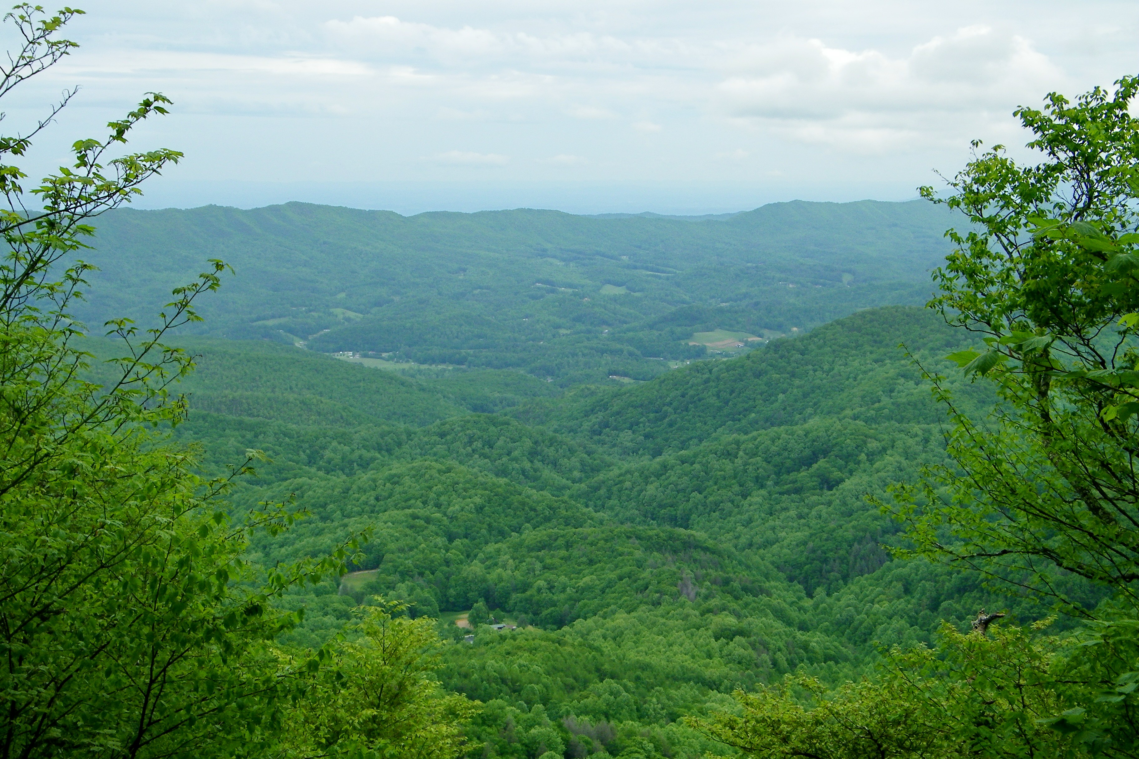
View from White Rocks on Buffalo Mountain
20100424-132224
20100424-131824

Unicoi Mountain

Pete-WH6LE Heading to W4T/SU-025 - Little Bald Knob

WP_20141124_040.JPG

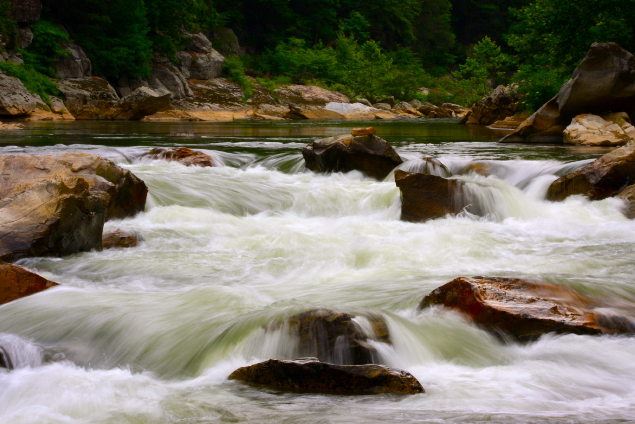
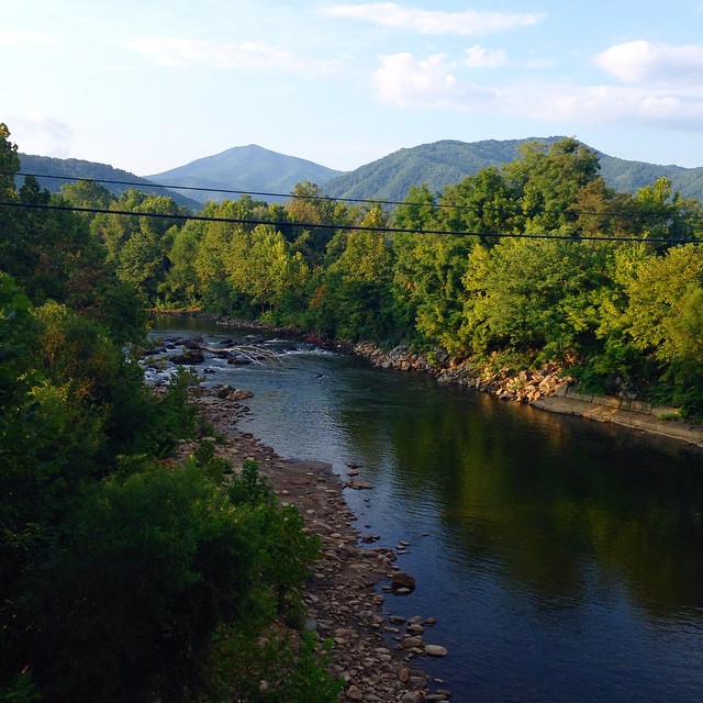
Nolichucky River

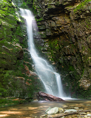
Red Fork Falls
#Nolichucky #Unicoi #erwin #unicoicounty
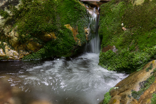
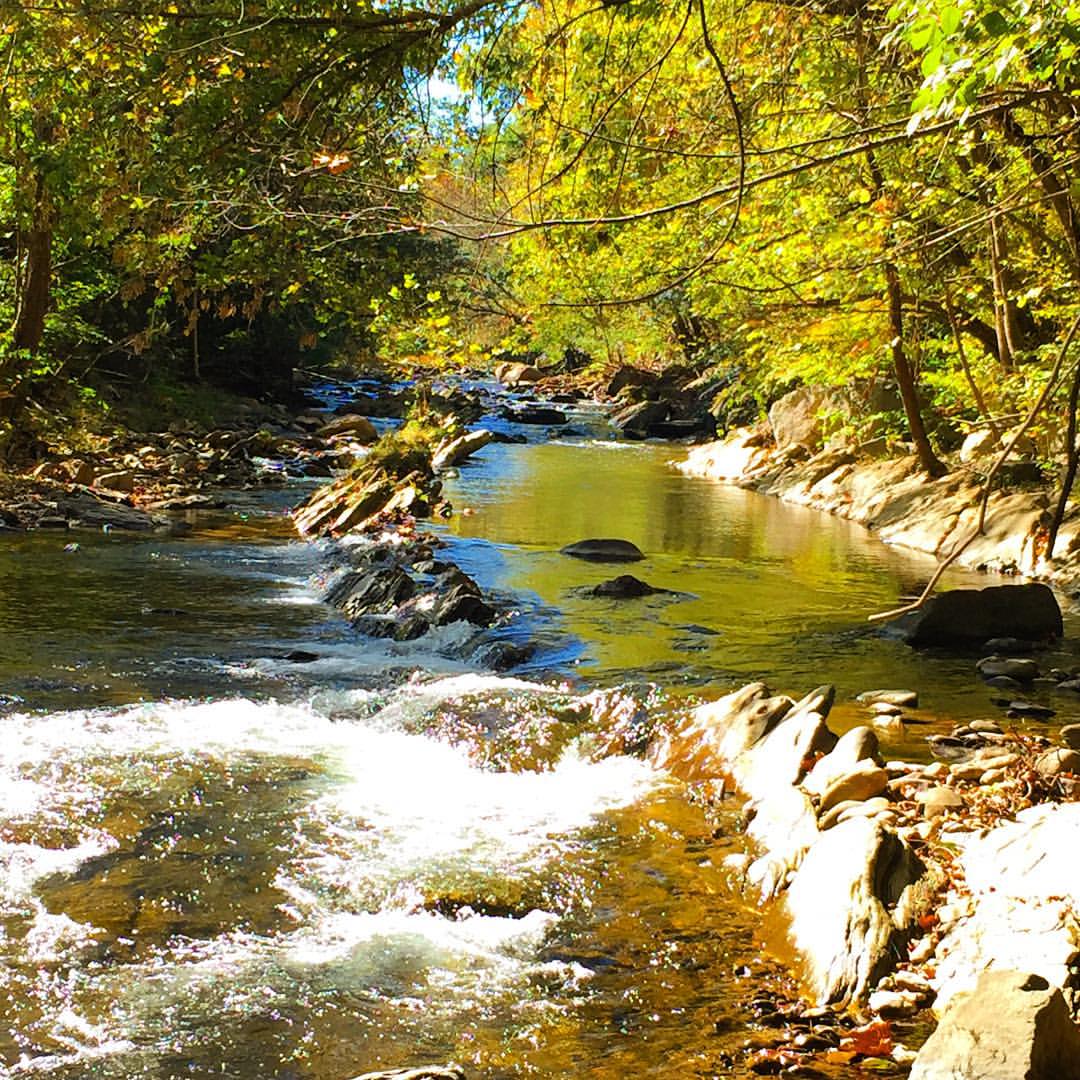
Rock Creek Hike
Rock Creek Hike

Rock Creek Hike

#park #erwinlineartrail #fall #leaves #erwin
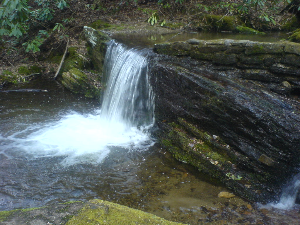
Clear Fork Creek
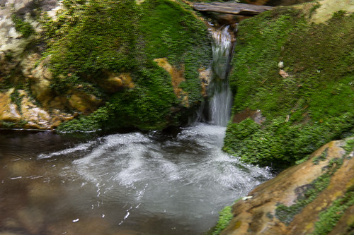
Rock Creek Hike
rafting Nolichucky River Gwen Fred Sam Rhett Nantahala Outdoor Center Erwin TN 07-30-2012
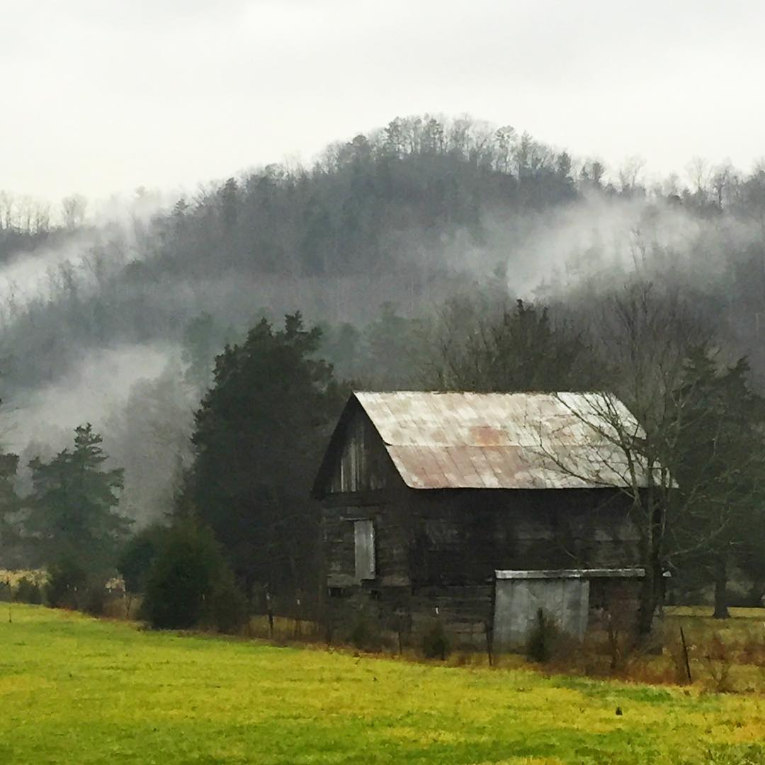
#stormyweather #geocachingadventures #rainydays #oldbarn #oldbarns
Rock Creek Hike
#erwinlineartrail

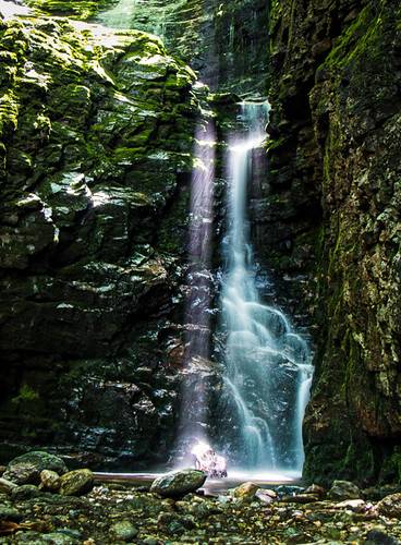
Sill Branch Falls
Topographic Map of S Main Ave, Erwin, TN, USA
Find elevation by address:

Places near S Main Ave, Erwin, TN, USA:
Erwin
Erwin
Erwin
Erwin
Erwin
Erwin
230 1st St
213 N Willow Ave
503 Vinton Ave
503 Vinton Ave
217 2nd St
401 N Main Ave
518 S Main Ave
314 N Willow Ave
341 Ohio Ave
318 Unaka Way St
641 S Elm Ave
441 Walnut St
721 N Elm Ave
715 Grove Ave
Recent Searches:
- Elevation of Congressional Dr, Stevensville, MD, USA
- Elevation of Bellview Rd, McLean, VA, USA
- Elevation of Stage Island Rd, Chatham, MA, USA
- Elevation of Shibuya Scramble Crossing, 21 Udagawacho, Shibuya City, Tokyo -, Japan
- Elevation of Jadagoniai, Kaunas District Municipality, Lithuania
- Elevation of Pagonija rock, Kranto 7-oji g. 8"N, Kaunas, Lithuania
- Elevation of Co Rd 87, Jamestown, CO, USA
- Elevation of Tenjo, Cundinamarca, Colombia
- Elevation of Côte-des-Neiges, Montreal, QC H4A 3J6, Canada
- Elevation of Bobcat Dr, Helena, MT, USA