Elevation of S Main Ave, Erwin, TN, USA
Location: United States > Tennessee > Unicoi County > Erwin >
Longitude: -82.420870
Latitude: 36.1414702
Elevation: 512m / 1680feet
Barometric Pressure: 95KPa
Elevation Map:
Satellite Map:
Related Photos:

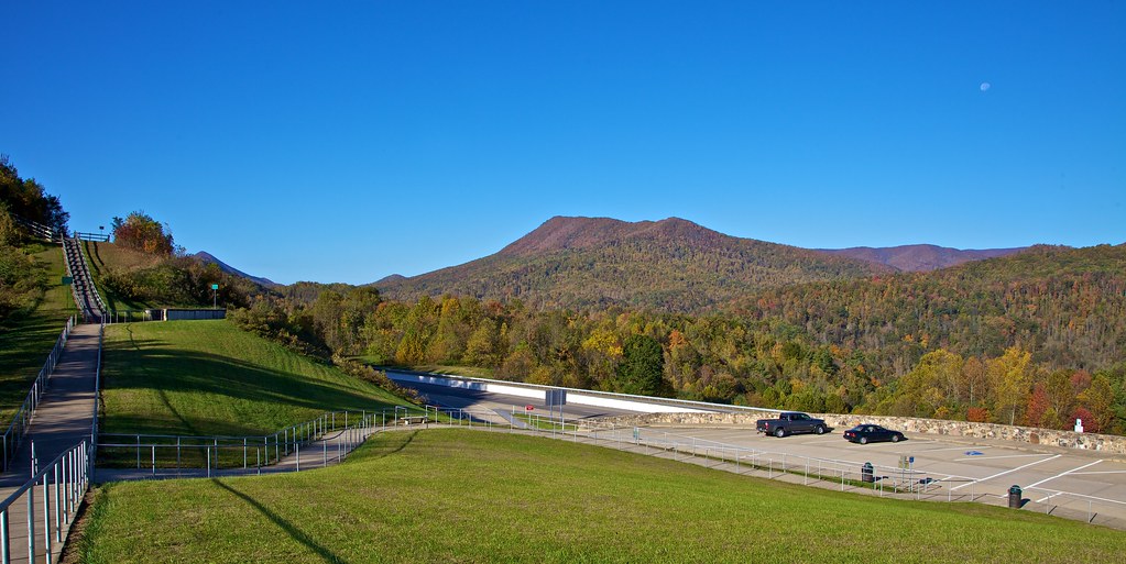
203 walking down path to parking lot

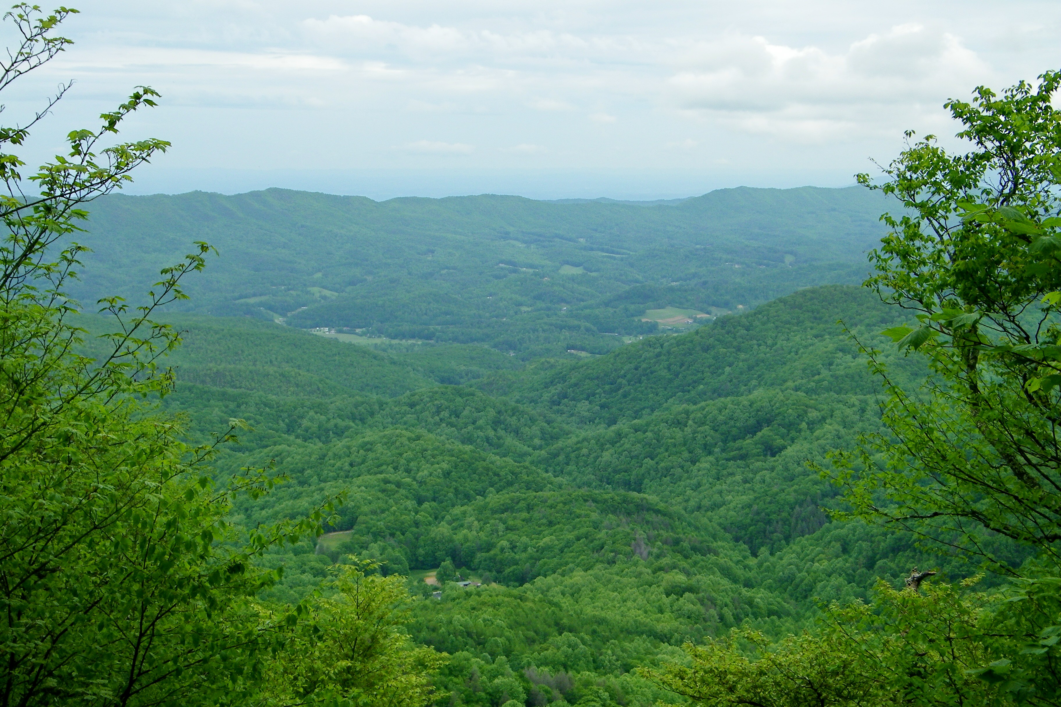
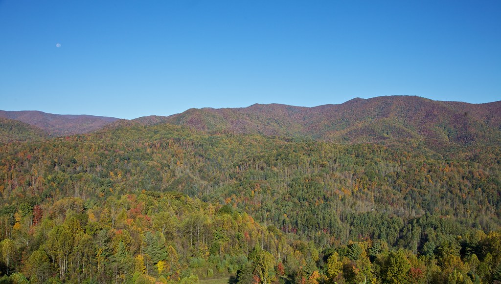
View from Beauty Spot

Pinnacle Mountain Fire Tower HDR Panorama
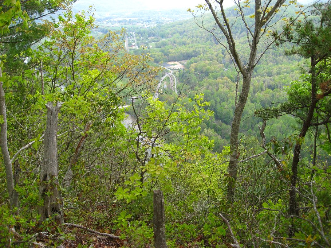
View-Top of Lost Cove

View from Beauty Spot

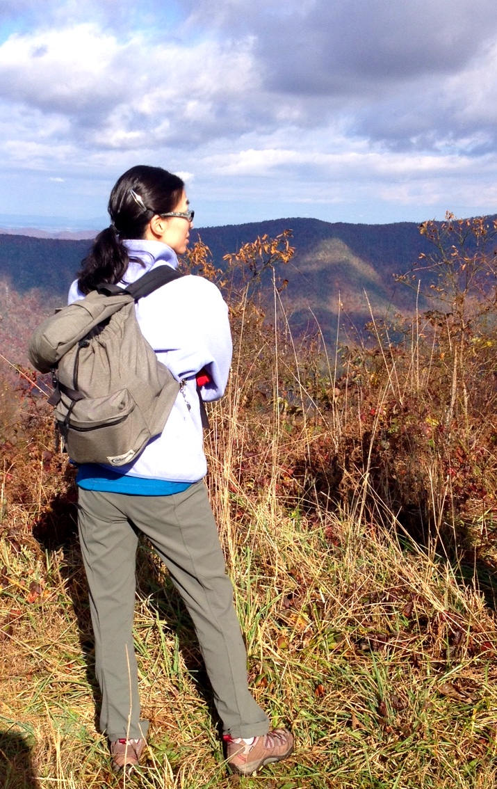
201 Claire on the trail

195 Trail to top of hill at rest stop in Tennessee
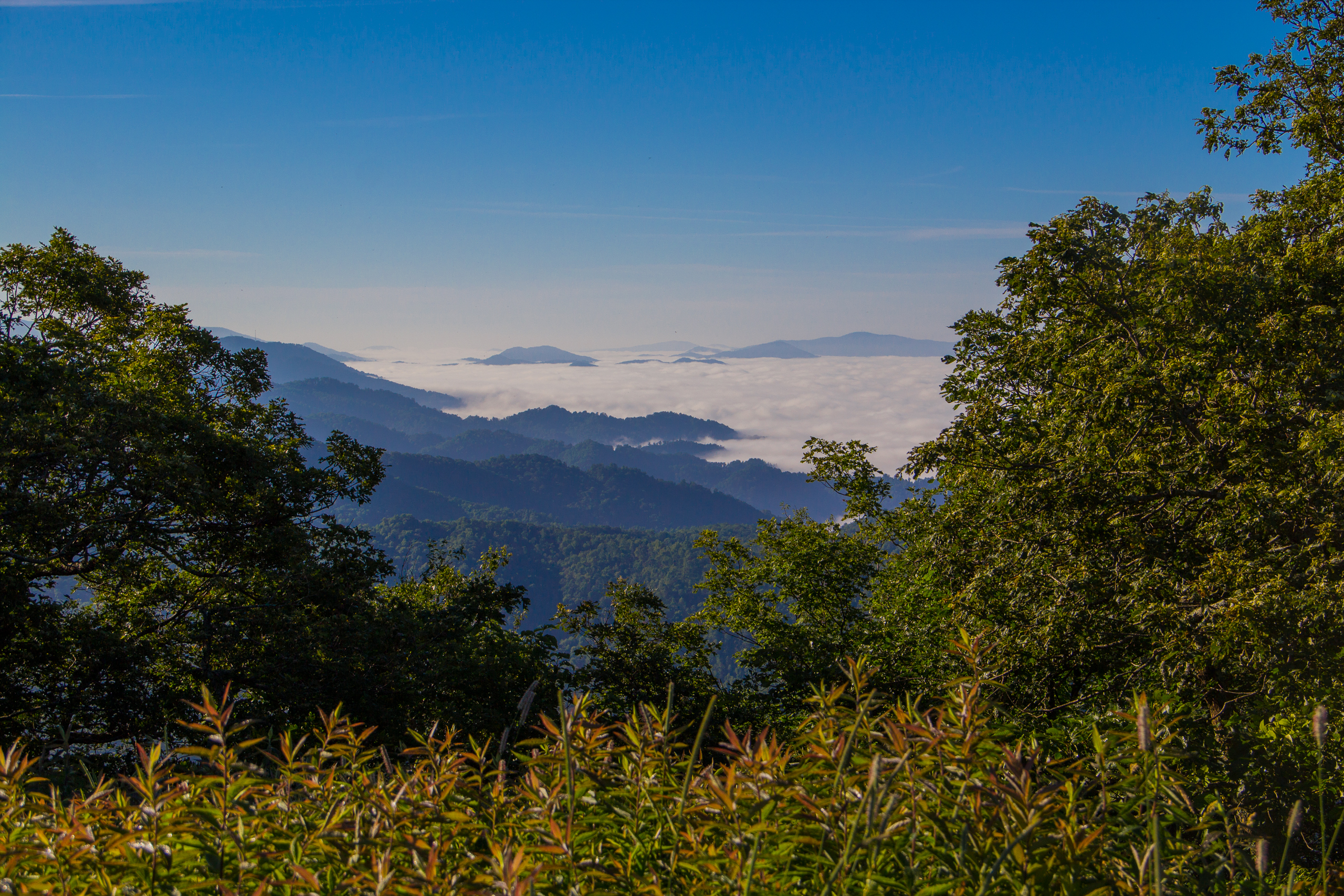
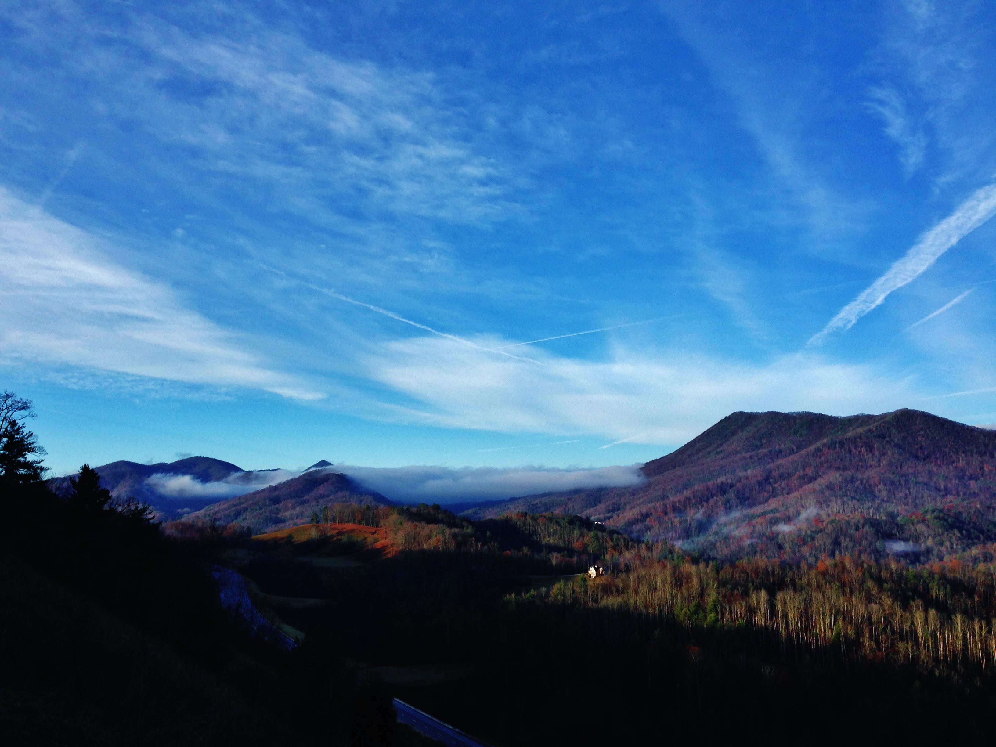
Fog Below Roan Mountain, Pisgah National Forest, North Carolina

Pinnacle Tower HDR Panorama 2

View from Beauty Spot
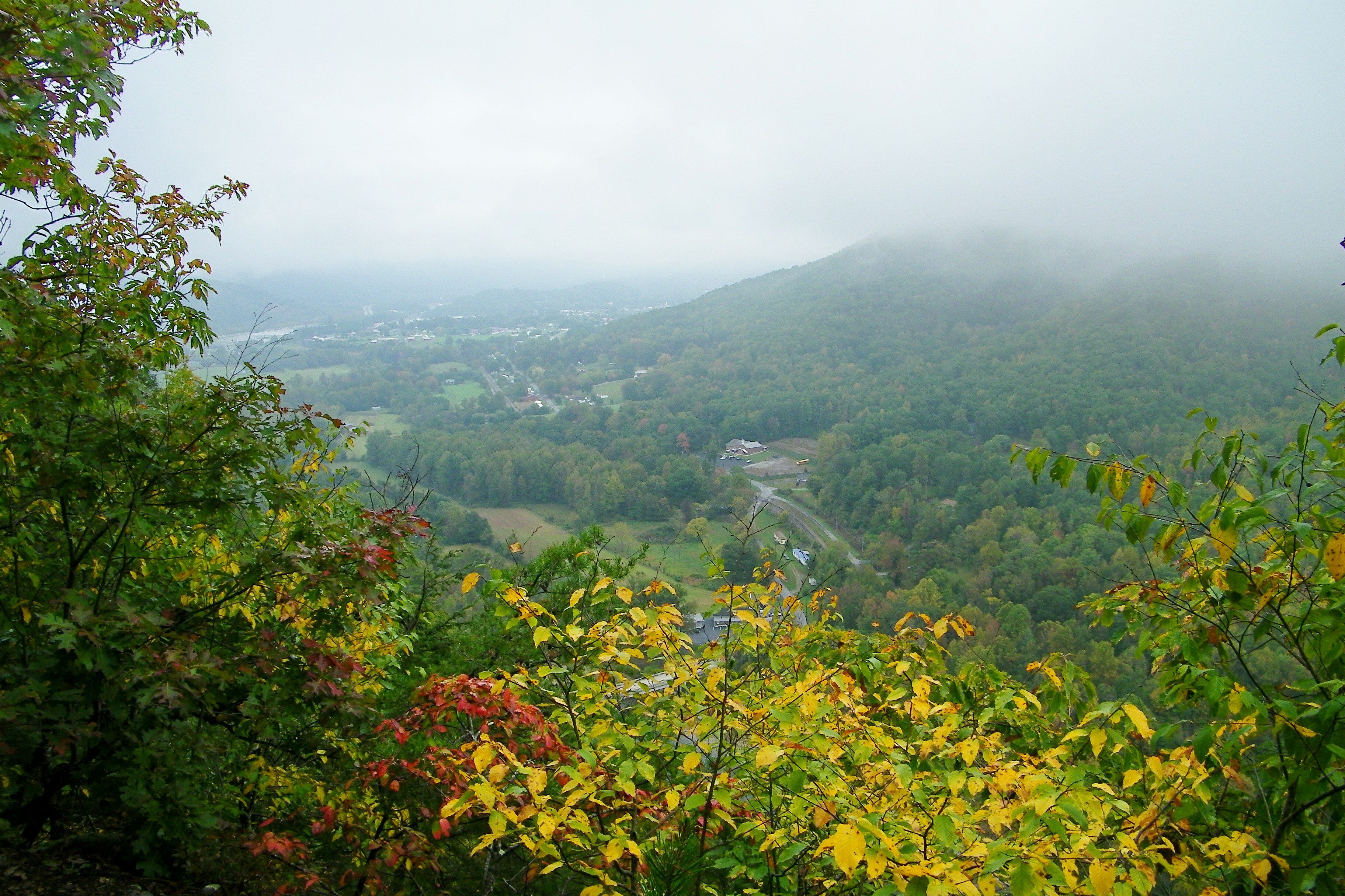
Erwin, TN

...
Appalachian Trail

197 On the trail to the top
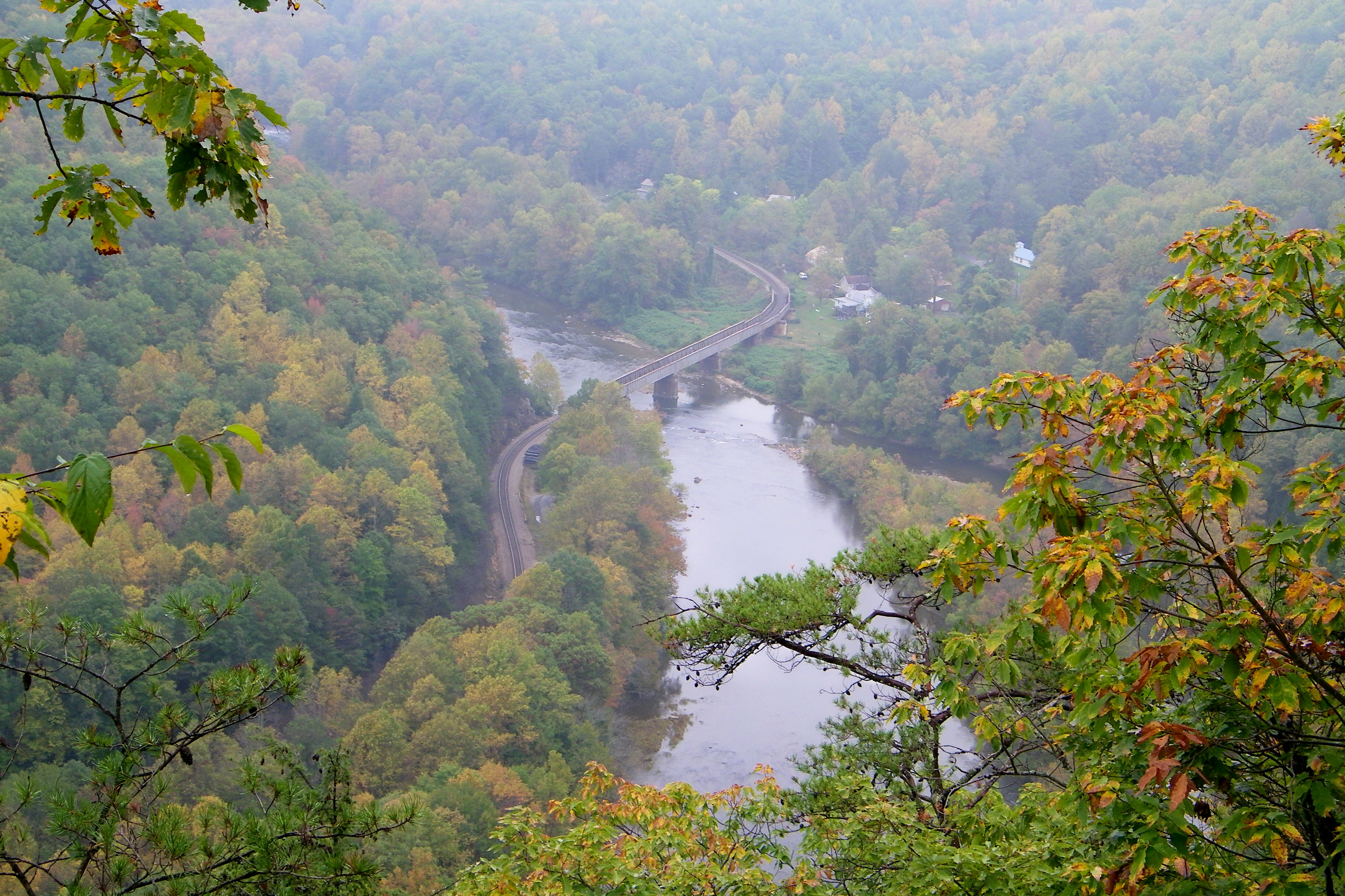
Railroad Trestle over the Nolichucky River
199 View top of the trail

20100424-131822
20100424-131516
193 First Scenic Lookout on Hwy 26 East into Tenn
Appalachian Trail
20100424-132224

The old homestead at sunrise
Bald Mountains Panorama 1 2014-1102

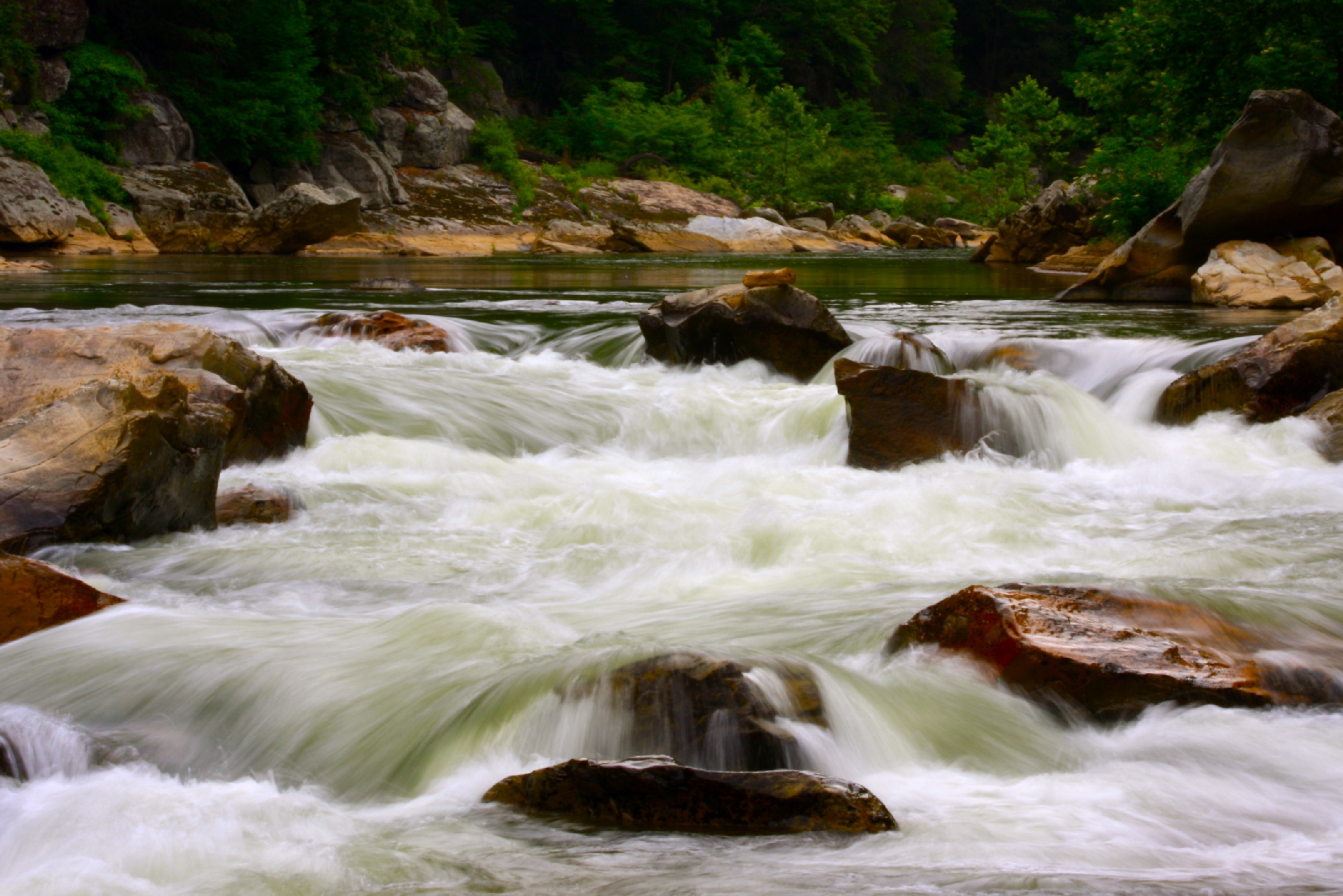
Nolichucky River

WP_20141124_040.JPG
London would be proud

IMG_9063.JPG

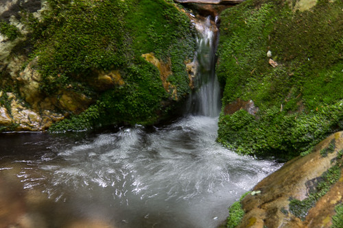
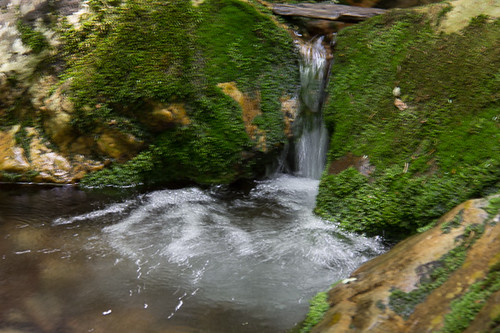
Red Fork Falls

Pete-WH6LE Heading to W4T/SU-025 - Little Bald Knob

Moon Over White Blaze
#Nolichucky #Unicoi #erwin #unicoicounty
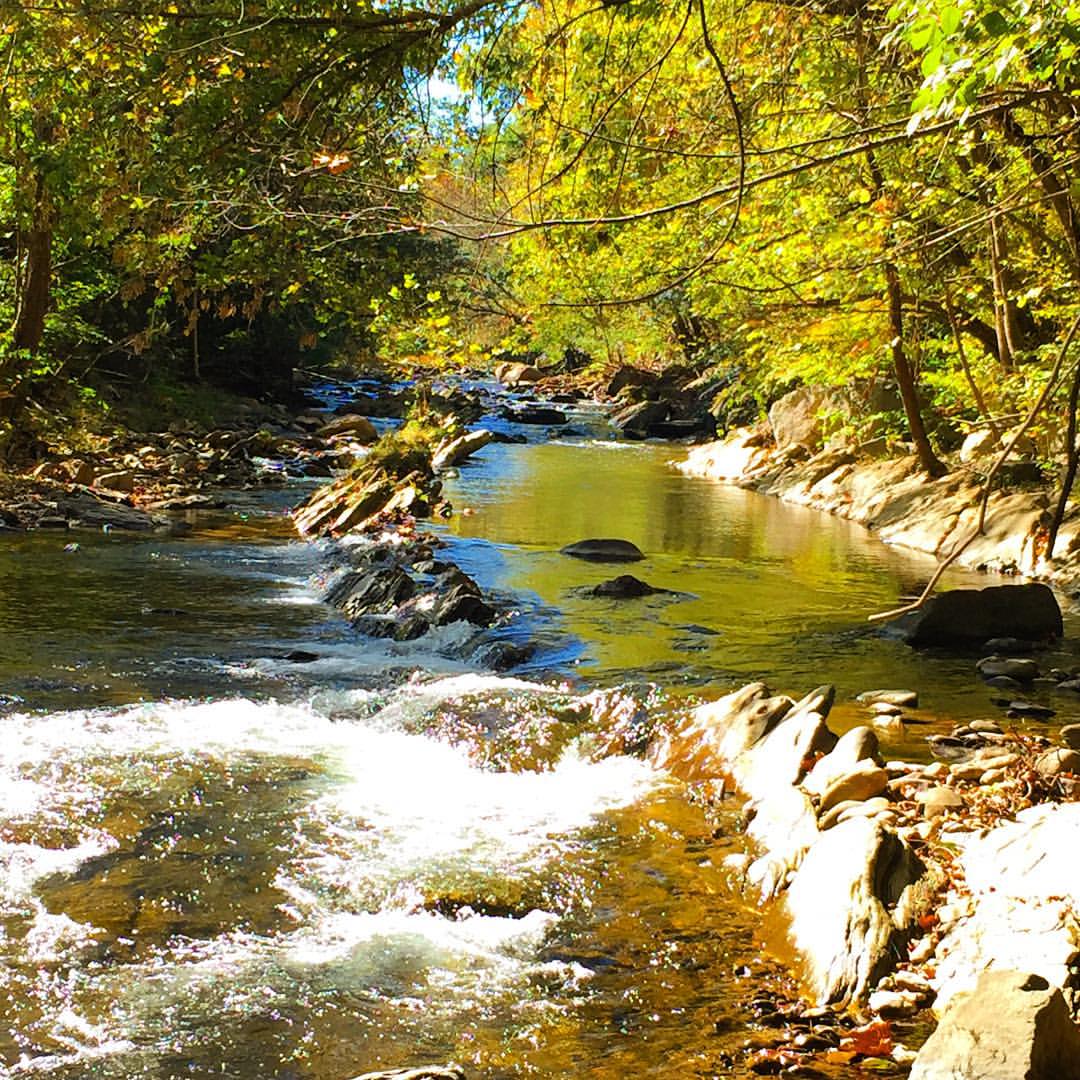
Rock Creek Hike
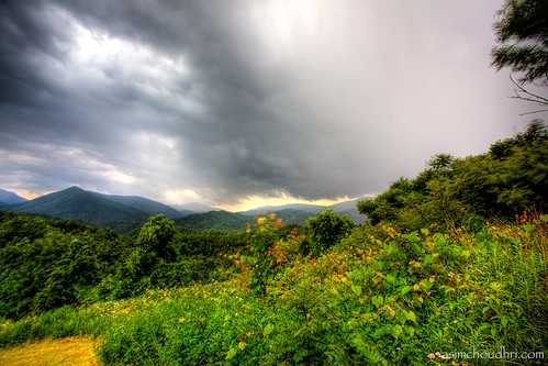
storm front moving over the blue ridge mountains...
Rock Creek Hike
Autumn Frosting. . .

#firetower #pinnacle #Unicoi #forecast #weatherforecast

Rock Creek Hike
rafting Nolichucky River Gwen Fred Sam Rhett Nantahala Outdoor Center Erwin TN 07-30-2012

#park #erwinlineartrail #fall #leaves #erwin
Rock Creek Hike
Topographic Map of S Main Ave, Erwin, TN, USA
Find elevation by address:

Places near S Main Ave, Erwin, TN, USA:
503 Vinton Ave
503 Vinton Ave
641 S Elm Ave
111 S Main Ave
Erwin
Erwin
Erwin
Erwin
Erwin
Erwin
341 Ohio Ave
441 Walnut St
230 1st St
318 Unaka Way St
213 N Willow Ave
511 Coffee St
519 Coffee St
217 2nd St
Spar Mill Road
401 N Main Ave
Recent Searches:
- Elevation of Congressional Dr, Stevensville, MD, USA
- Elevation of Bellview Rd, McLean, VA, USA
- Elevation of Stage Island Rd, Chatham, MA, USA
- Elevation of Shibuya Scramble Crossing, 21 Udagawacho, Shibuya City, Tokyo -, Japan
- Elevation of Jadagoniai, Kaunas District Municipality, Lithuania
- Elevation of Pagonija rock, Kranto 7-oji g. 8"N, Kaunas, Lithuania
- Elevation of Co Rd 87, Jamestown, CO, USA
- Elevation of Tenjo, Cundinamarca, Colombia
- Elevation of Côte-des-Neiges, Montreal, QC H4A 3J6, Canada
- Elevation of Bobcat Dr, Helena, MT, USA