Elevation of Erwin, TN, USA
Location: United States > Tennessee > Unicoi County >
Longitude: -82.416805
Latitude: 36.1451082
Elevation: 511m / 1677feet
Barometric Pressure: 95KPa
Elevation Map:
Satellite Map:
Related Photos:
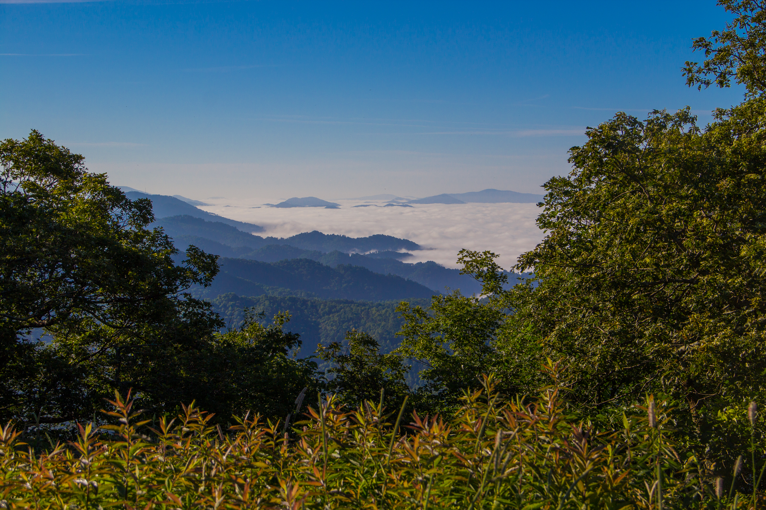
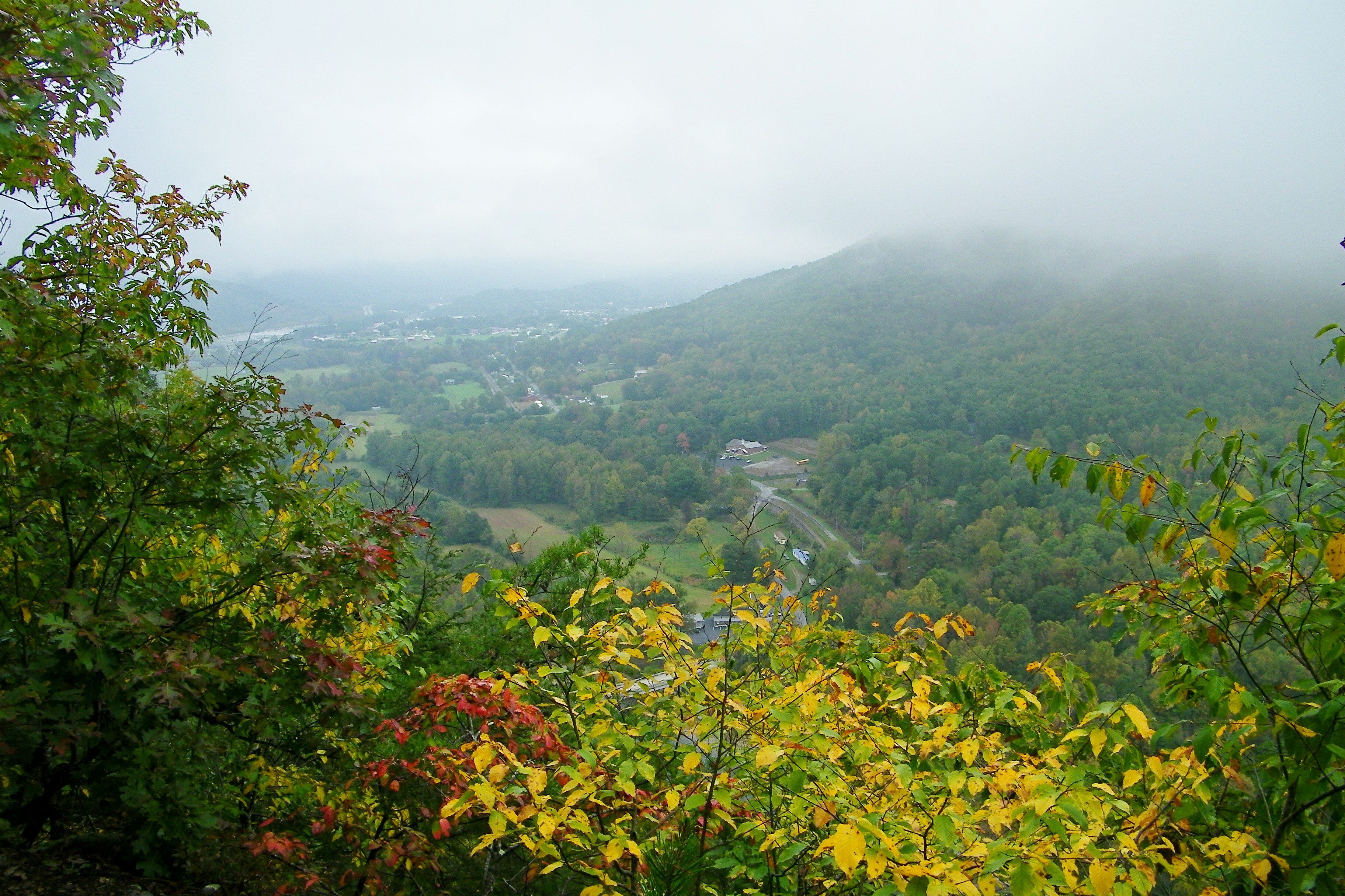
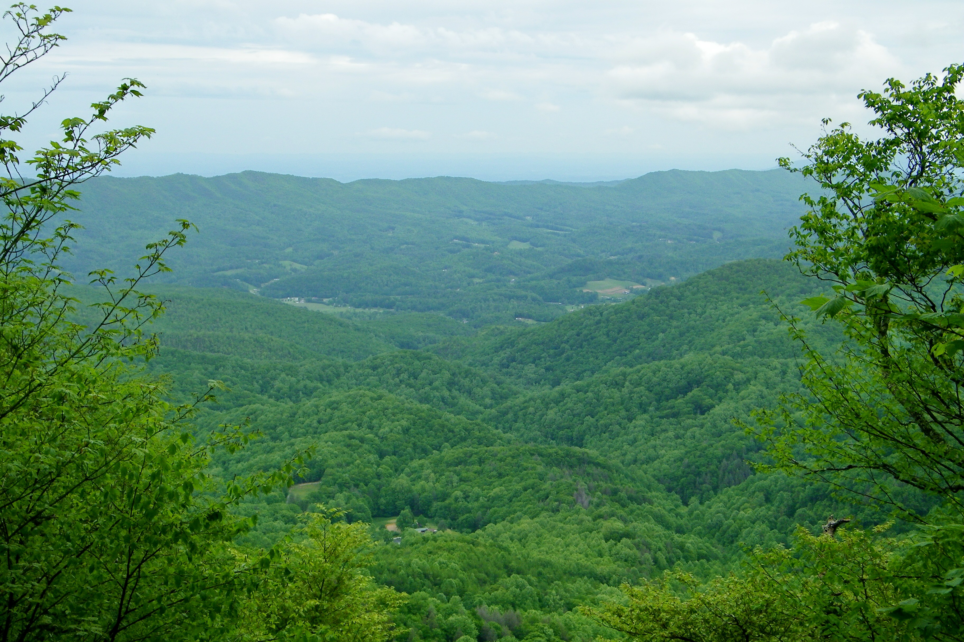
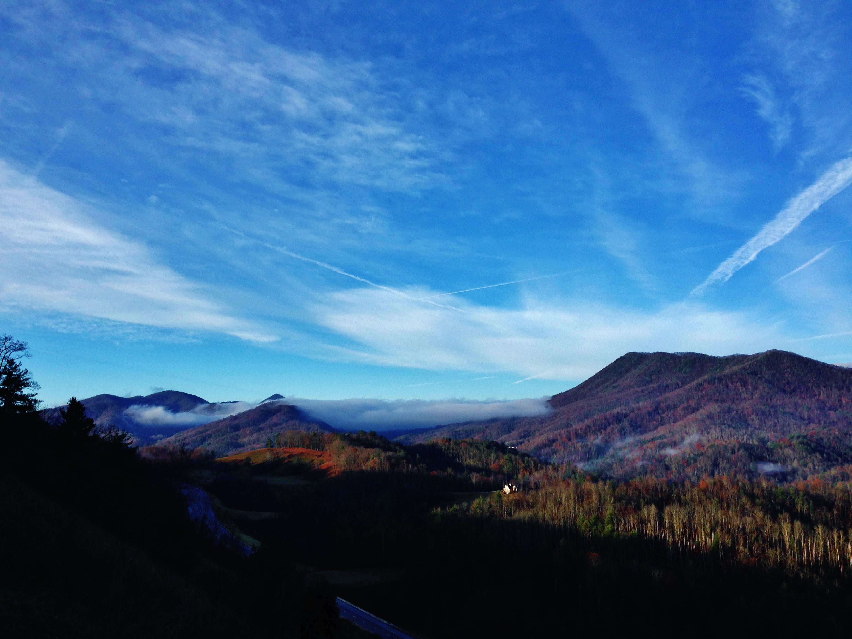
Fog Below Roan Mountain, Pisgah National Forest, North Carolina

195 Trail to top of hill at rest stop in Tennessee
193 First Scenic Lookout on Hwy 26 East into Tenn

Toby's, Limestone Cove
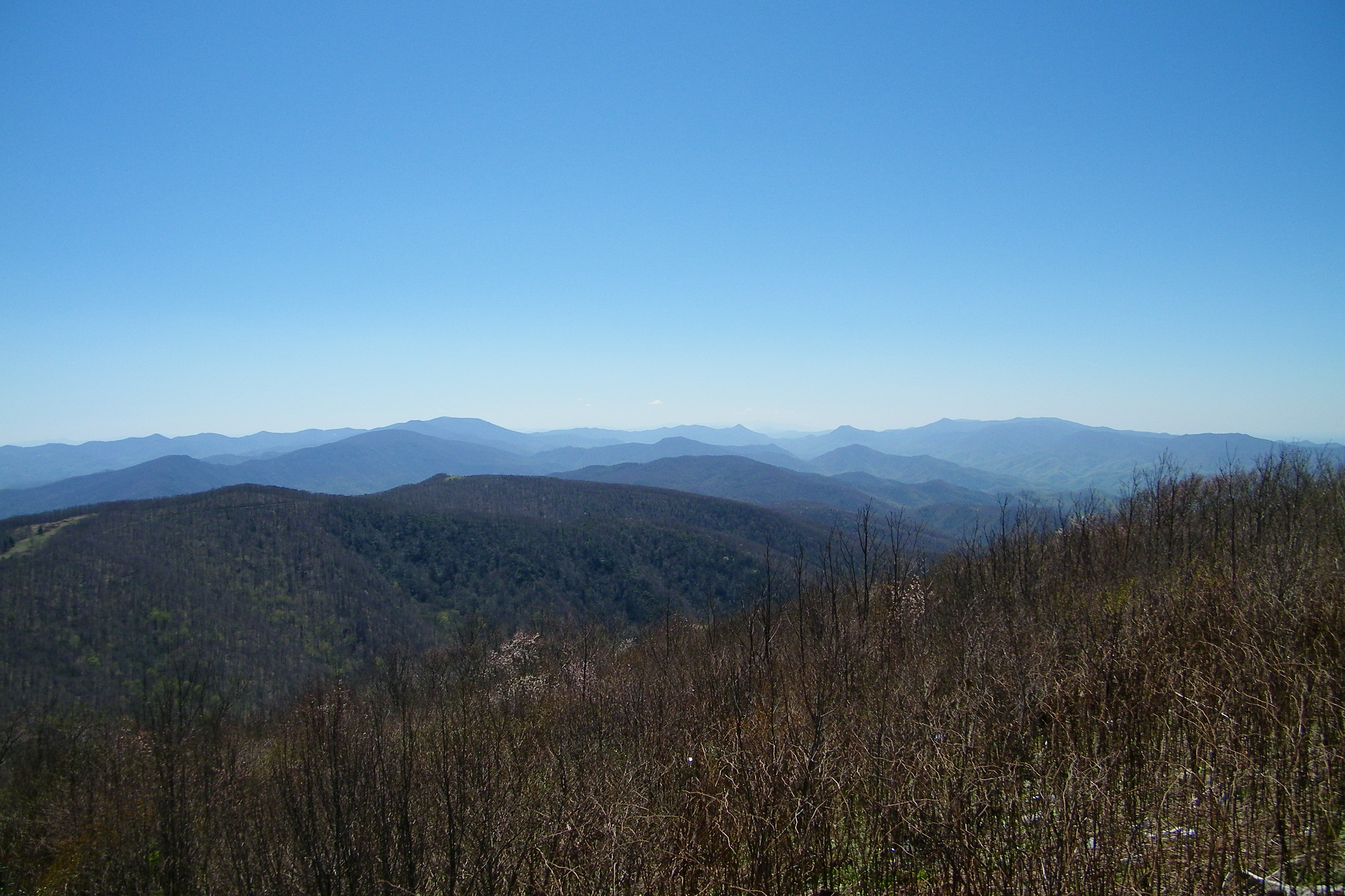
Beauty Spot
Beauty Spot
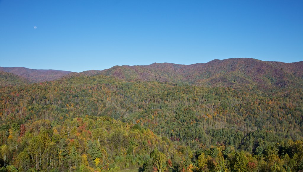
Unaka Mountain Overlook
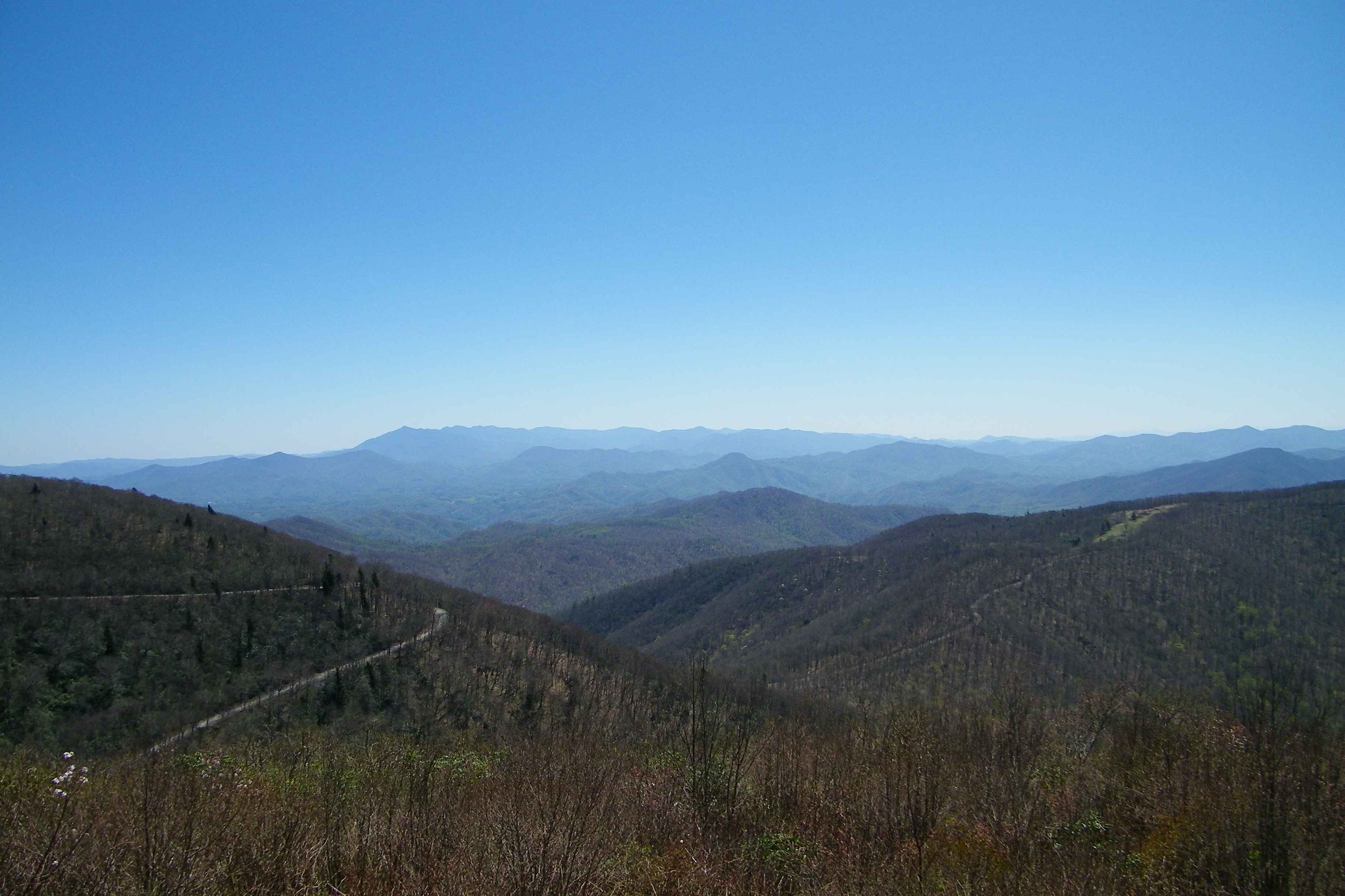
Unaka Mountain Overlook

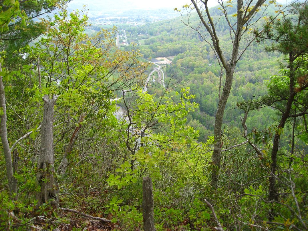
203 walking down path to parking lot

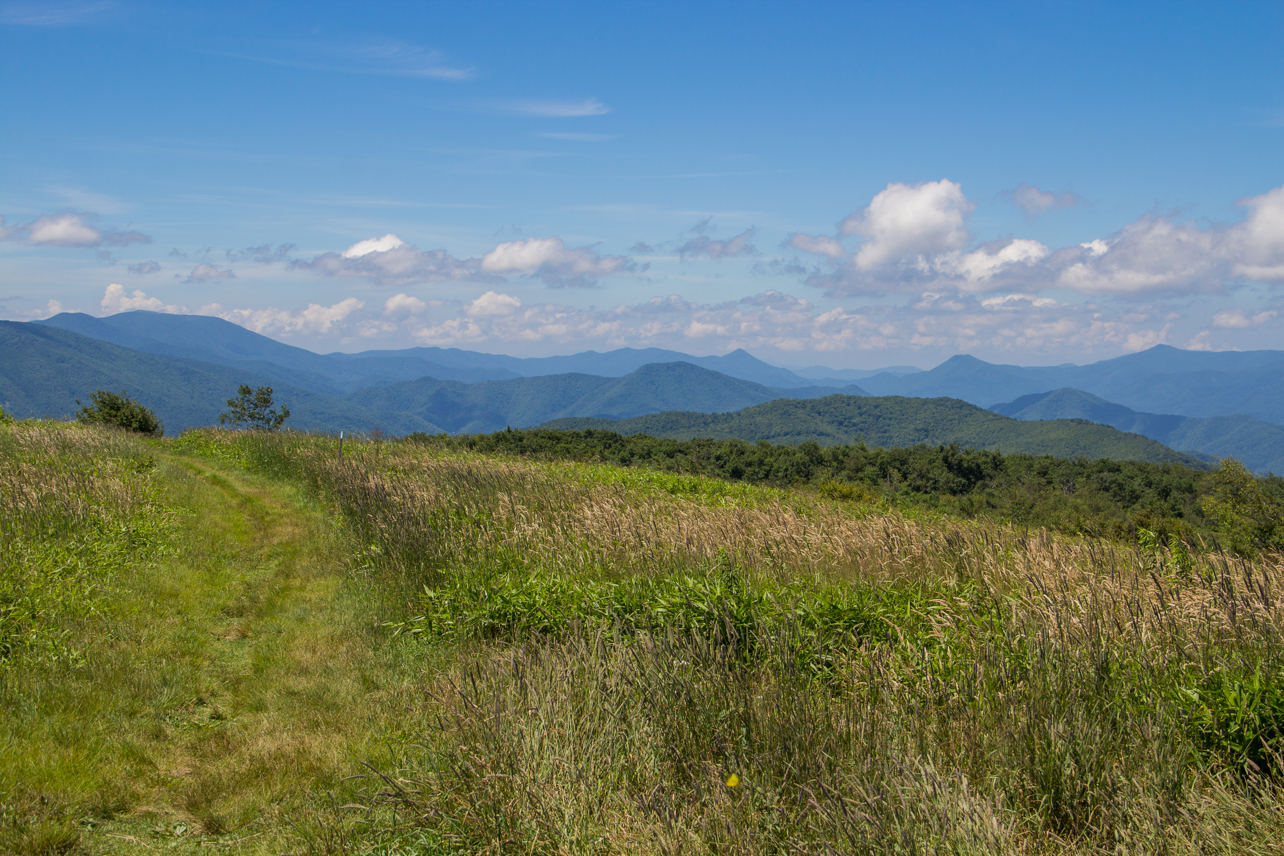
Buffalo Pano

View-Top of Lost Cove

201 Claire on the trail
Beauty Spot, Appalachian Trail, Cherokee National Forest, Tennessee

...
Erwin, TN
Appalachian Trail

197 On the trail to the top
199 View top of the trail
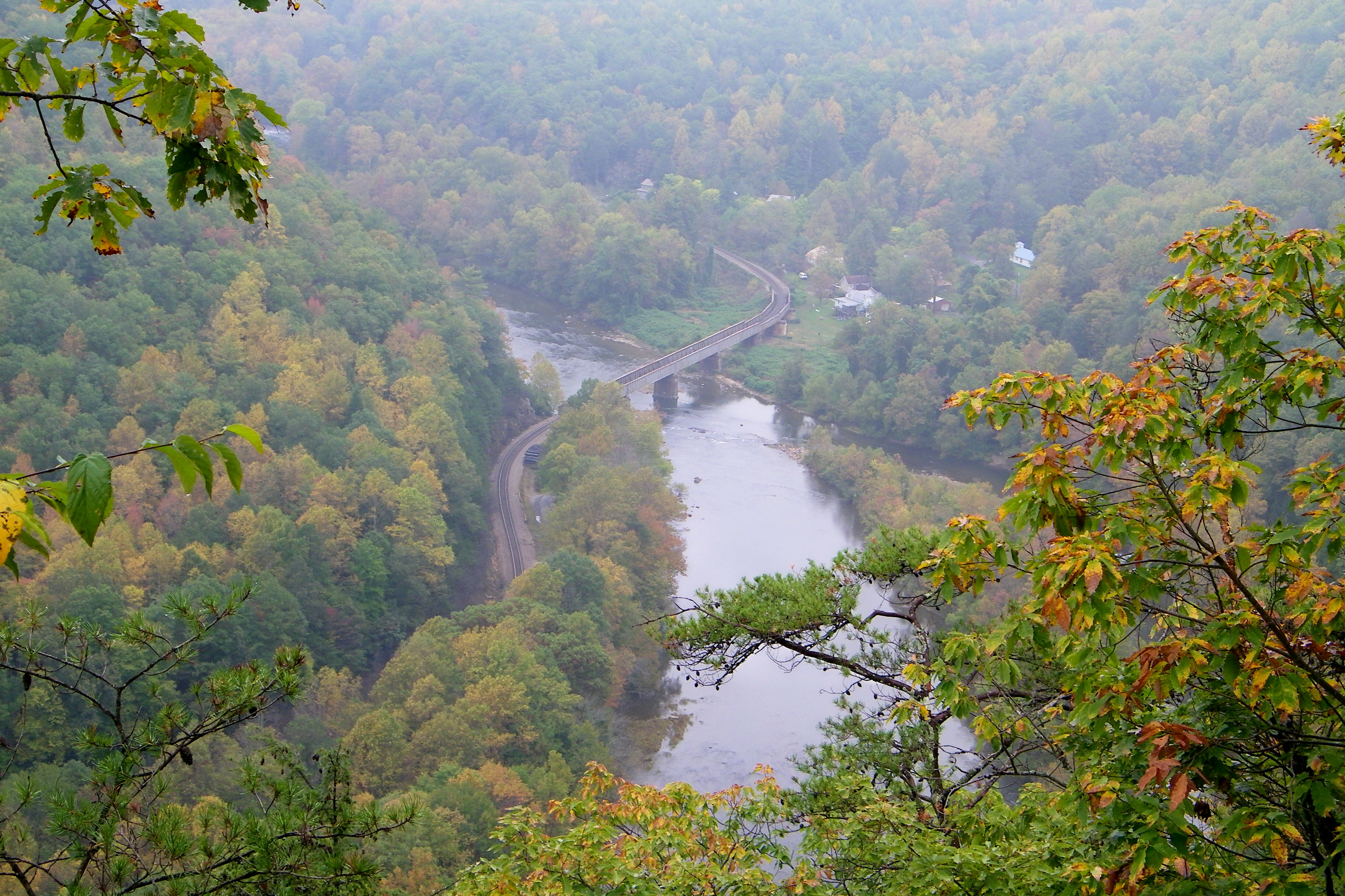
Railroad Trestle over the Nolichucky River

20100424-131822
20100424-131516
Bald Mountains Panorama 1 2014-1102
I-26 Overlook HDR
Soaring on Samhain Eve

Unicoi Mountain
Garry AT Hike 2013-05-21 @ 19-32-39

WP_20141124_040.JPG

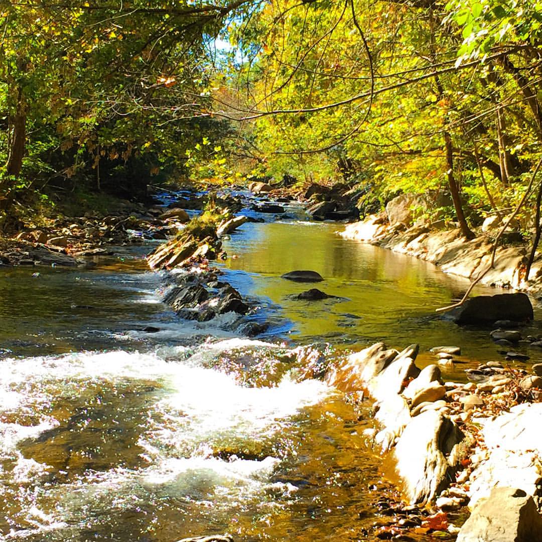
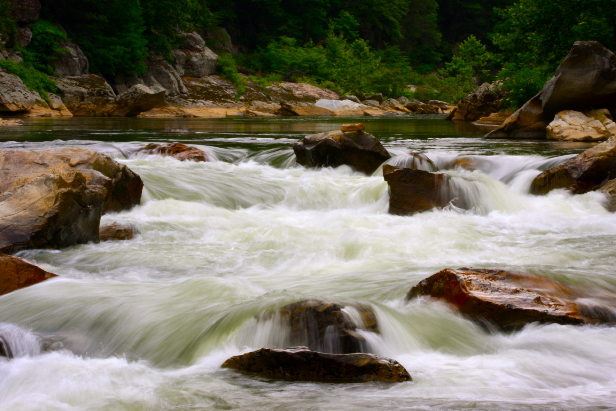
Nolichucky River

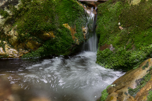
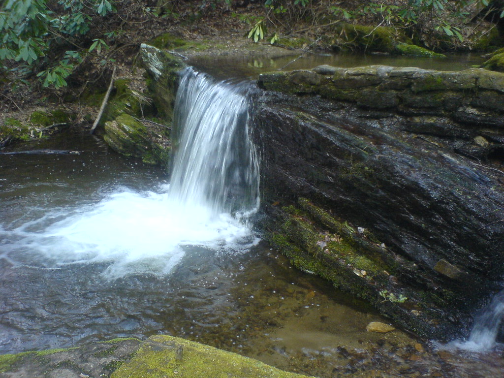
Red Fork Falls
#Nolichucky #Unicoi #erwin #unicoicounty
Rock Creek Hike

IMG_9063.JPG
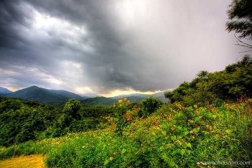
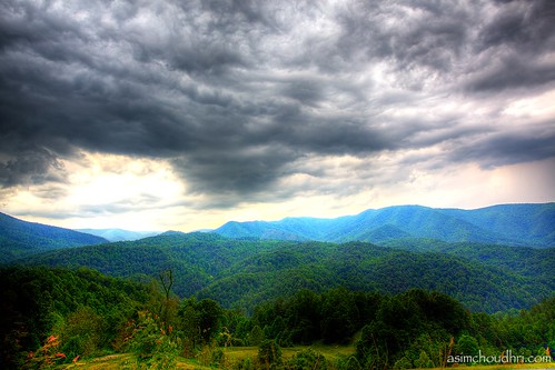
storm front moving over the blue ridge mountains...
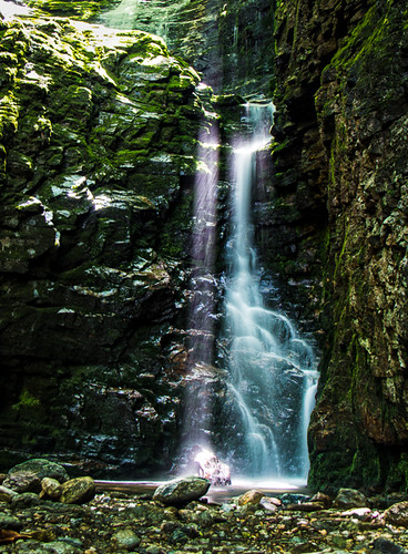
Rock Creek Hike

Rock Creek Hike
Autumn Frosting. . .
Clear Fork Creek
rafting Nolichucky River Gwen Fred Sam Rhett Nantahala Outdoor Center Erwin TN 07-30-2012

#park #erwinlineartrail #fall #leaves #erwin
smoky mountain sunset...
Topographic Map of Erwin, TN, USA
Find elevation by address:

Places near Erwin, TN, USA:
Erwin
Erwin
Erwin
Erwin
Erwin
111 S Main Ave
230 1st St
213 N Willow Ave
217 2nd St
401 N Main Ave
503 Vinton Ave
503 Vinton Ave
518 S Main Ave
314 N Willow Ave
341 Ohio Ave
318 Unaka Way St
641 S Elm Ave
721 N Elm Ave
715 Grove Ave
441 Walnut St
Recent Searches:
- Elevation of Corso Fratelli Cairoli, 35, Macerata MC, Italy
- Elevation of Tallevast Rd, Sarasota, FL, USA
- Elevation of 4th St E, Sonoma, CA, USA
- Elevation of Black Hollow Rd, Pennsdale, PA, USA
- Elevation of Oakland Ave, Williamsport, PA, USA
- Elevation of Pedrógão Grande, Portugal
- Elevation of Klee Dr, Martinsburg, WV, USA
- Elevation of Via Roma, Pieranica CR, Italy
- Elevation of Tavkvetili Mountain, Georgia
- Elevation of Hartfords Bluff Cir, Mt Pleasant, SC, USA