Elevation of 19 Pippin Cir, Erwin, TN, USA
Location: United States > Tennessee > Unicoi County > Erwin >
Longitude: -82.390174
Latitude: 36.170167
Elevation: 537m / 1762feet
Barometric Pressure: 95KPa
Elevation Map:
Satellite Map:
Related Photos:

Watching the Game

My view - what are you looking at right now?

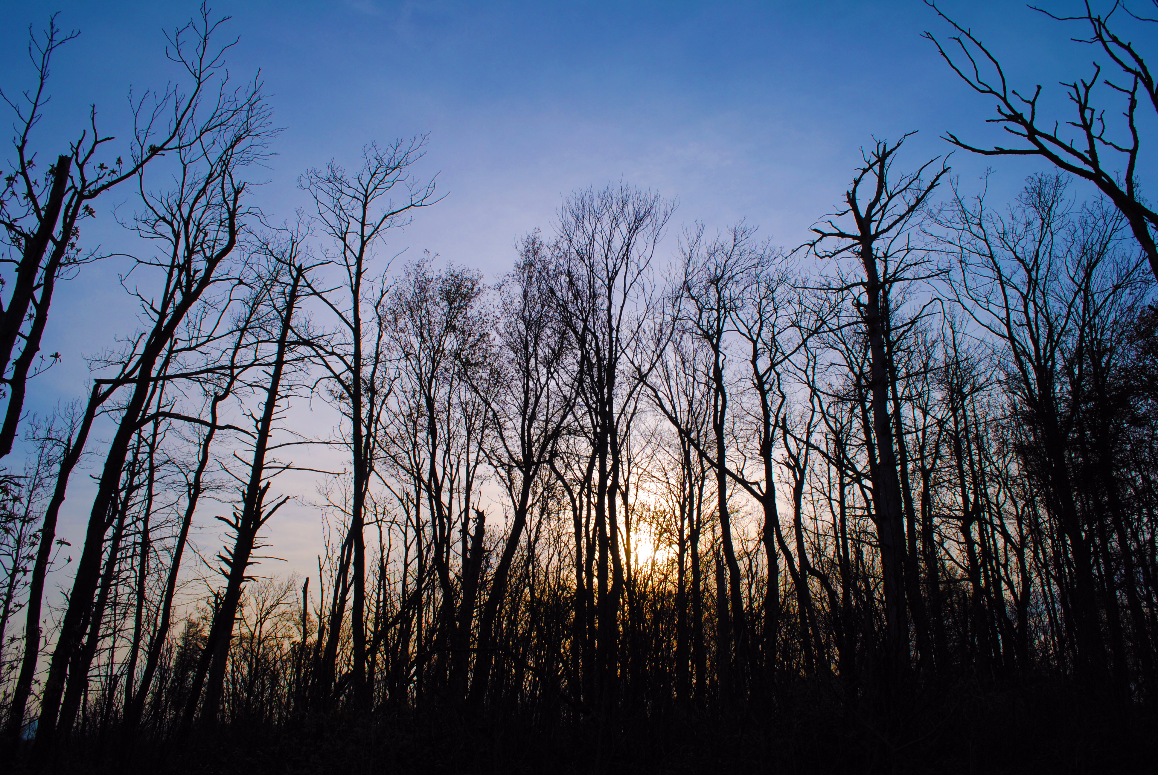
View from Beauty Spot

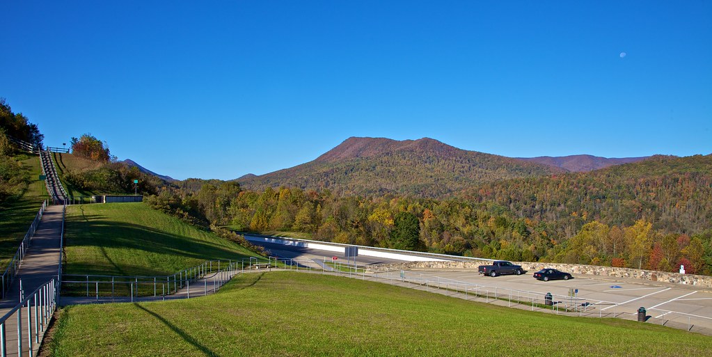
203 walking down path to parking lot

Pinnacle Mountain Fire Tower HDR Panorama

Buffalo Pano

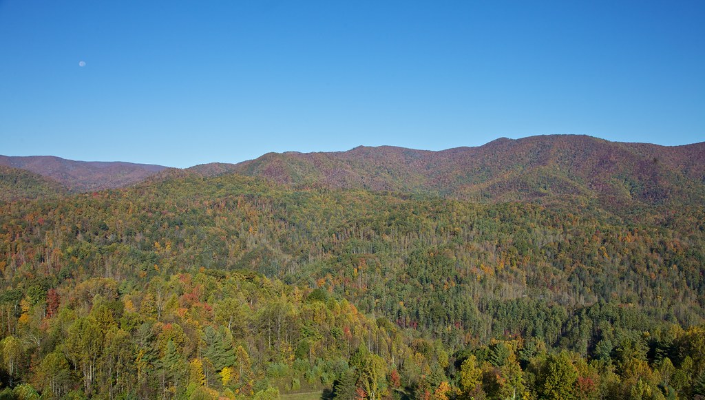
View from Beauty Spot
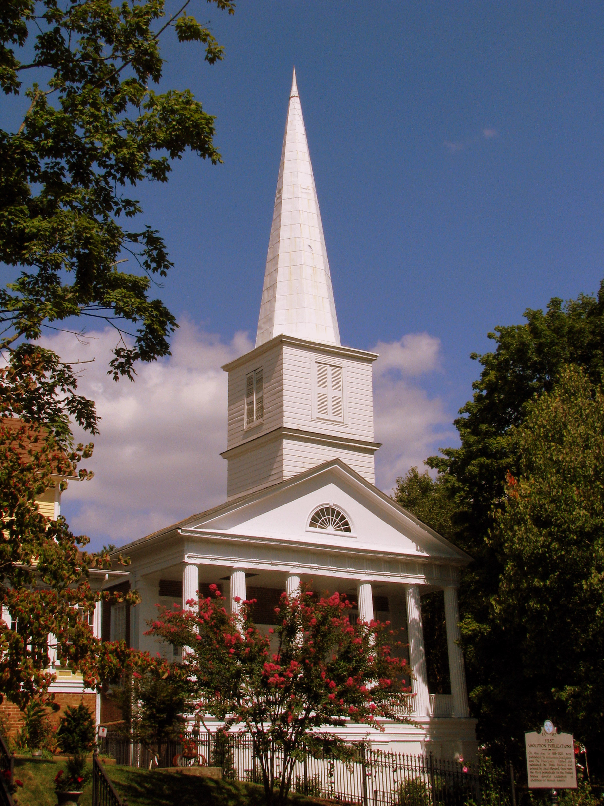
First Presbyterian Church - Jonesborough, TN

2013.12.27 125K Views

195 Trail to top of hill at rest stop in Tennessee

201 Claire on the trail
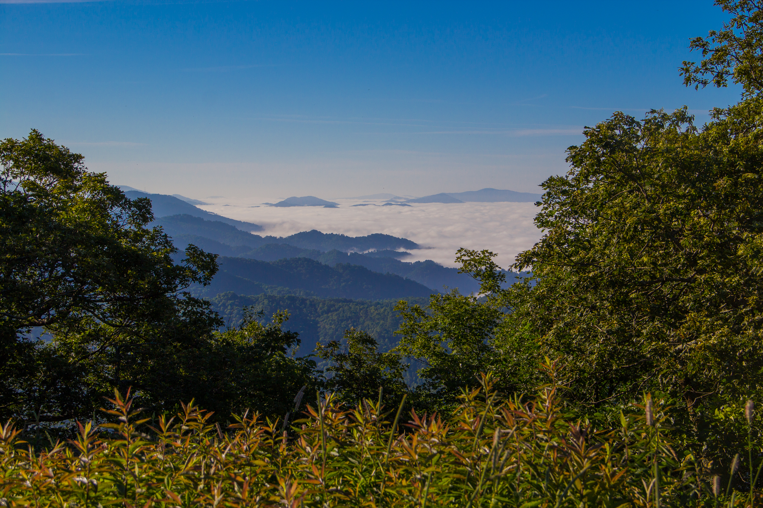
Fog Below Roan Mountain, Pisgah National Forest, North Carolina

Pinnacle Tower HDR Panorama 2
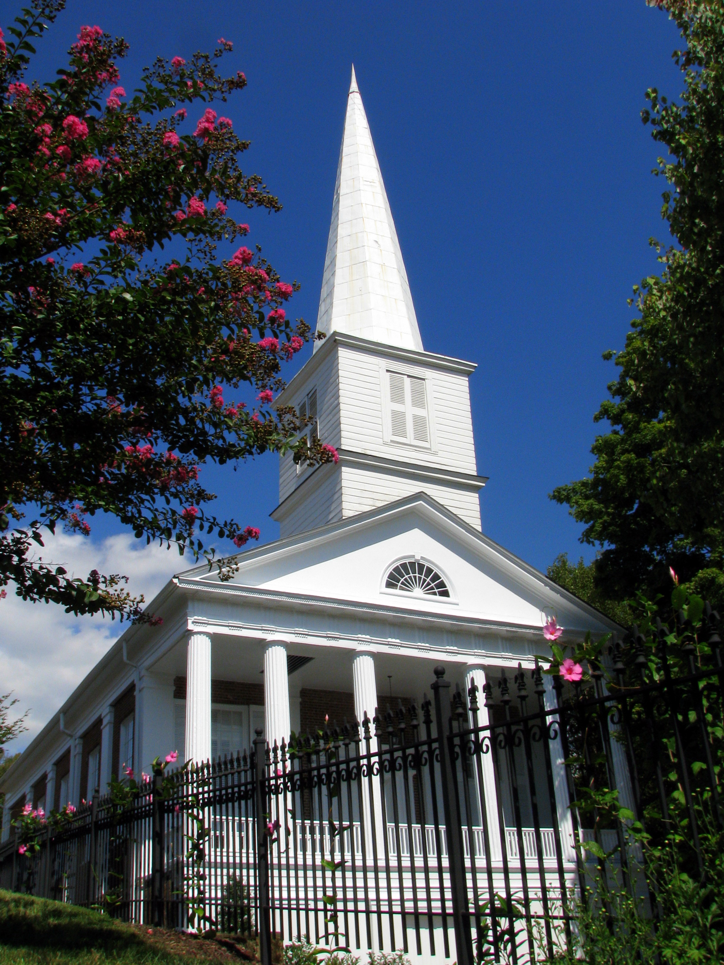
First Presbyterian Church - Jonesborough, TN

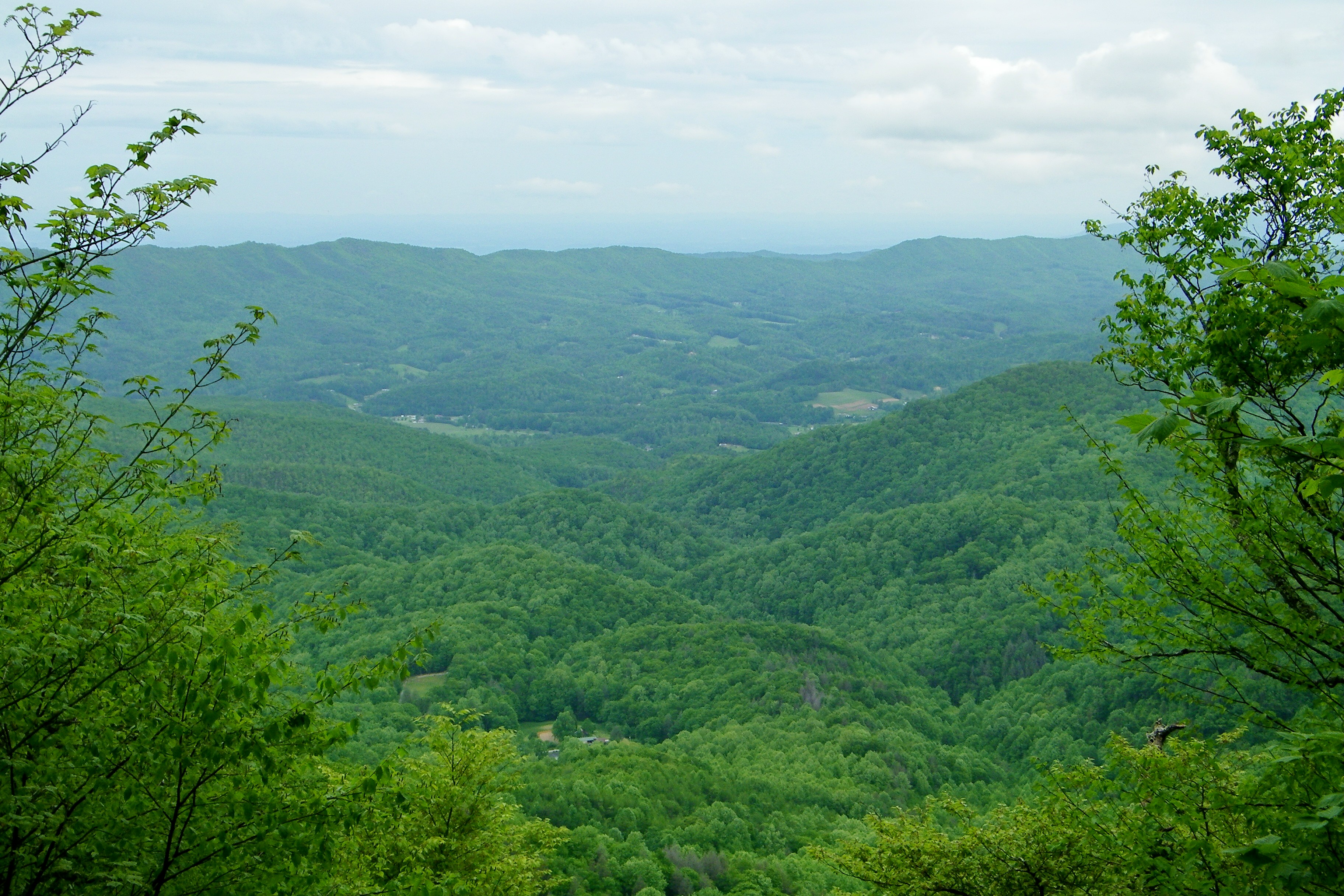
View from Beauty Spot

Buffalo Mountain
Appalachian Trail

197 On the trail to the top
199 View top of the trail
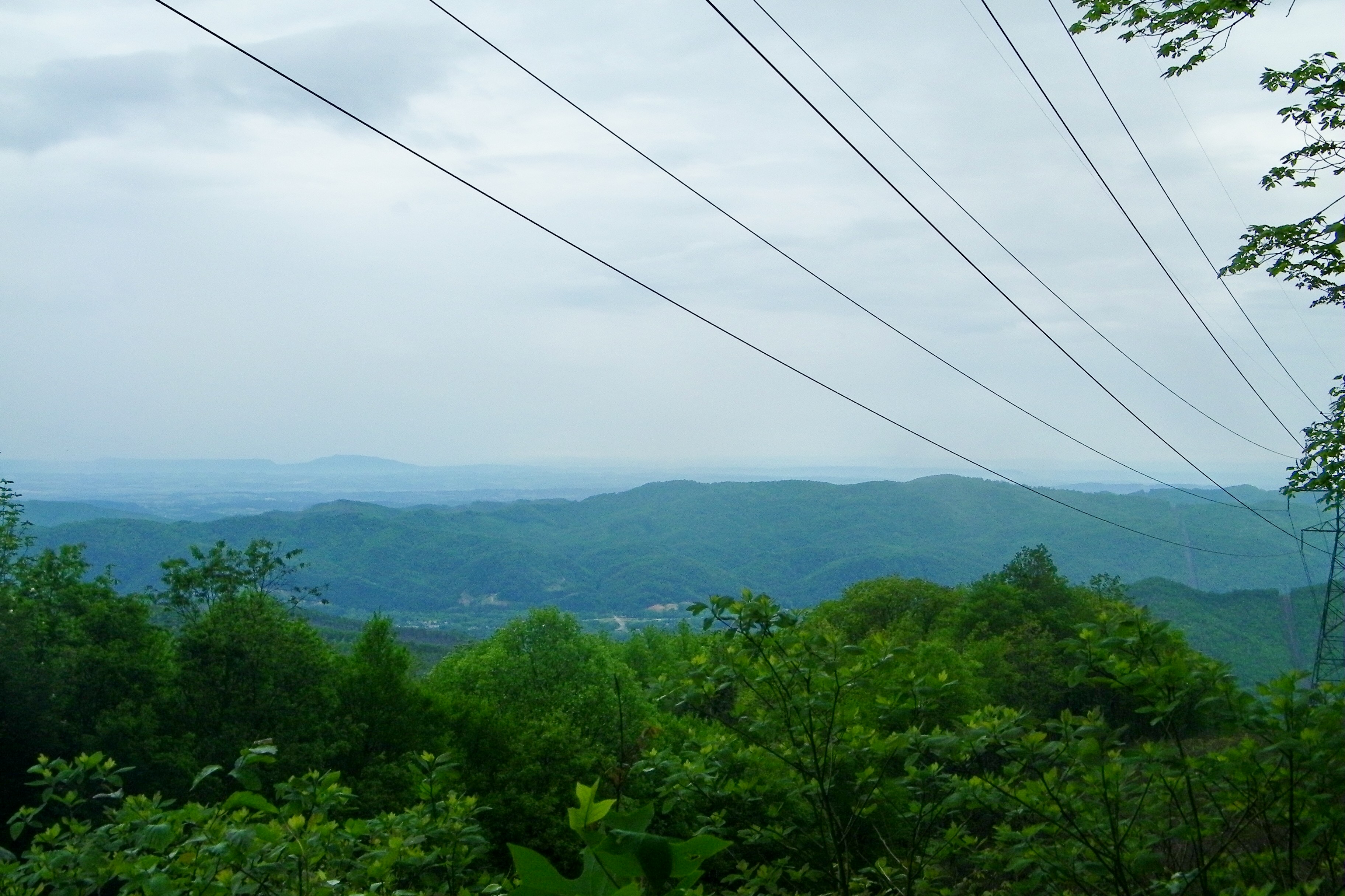
193 First Scenic Lookout on Hwy 26 East into Tenn
Appalachian Trail

Unicoi Mountain
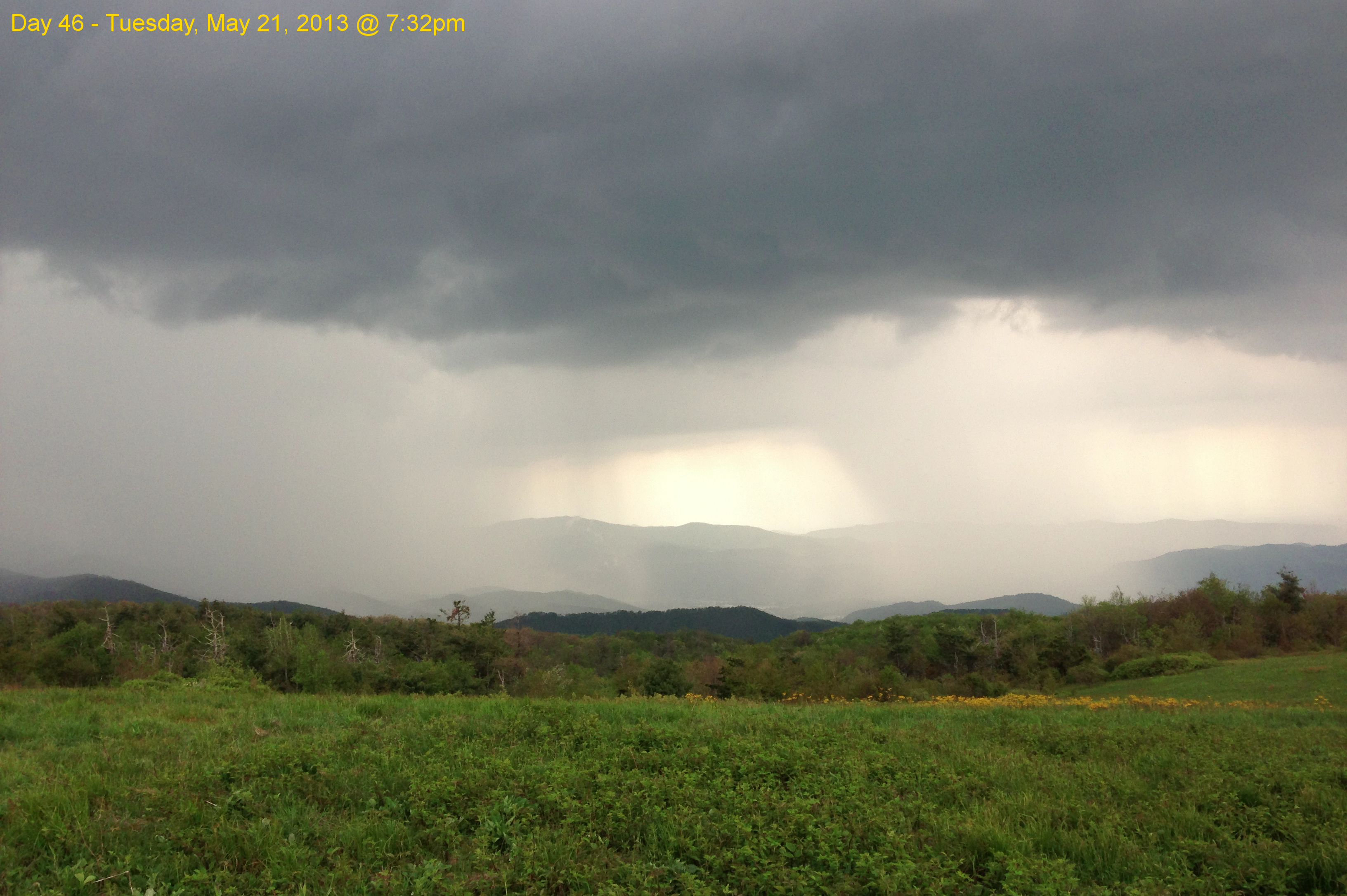
Garry AT Hike 2013-05-21 @ 19-32-39

WP_20141124_040.JPG

Nolichucky River
London would be proud

Pete-WH6LE Heading to W4T/SU-025 - Little Bald Knob

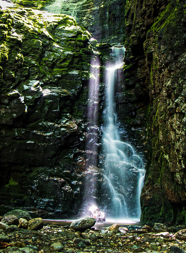
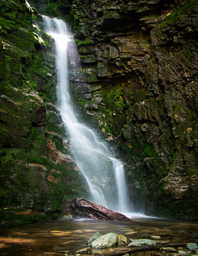
Red Fork Falls
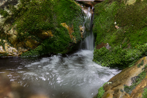
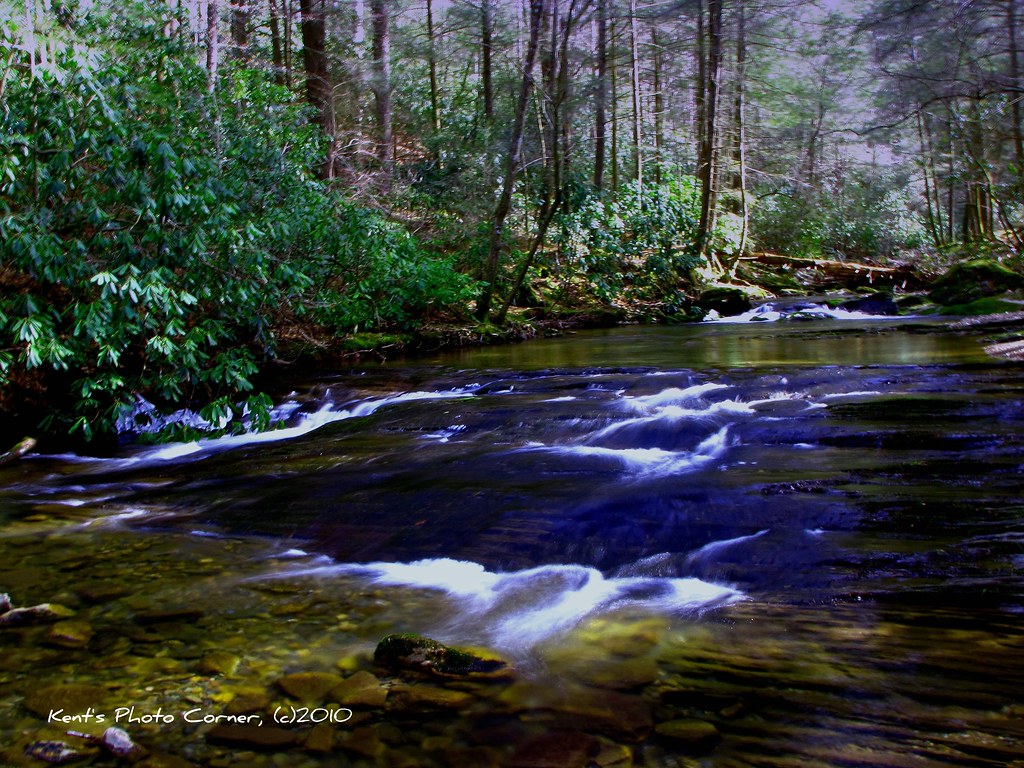
Rock Creek Hike
Rock Creek Hike

Pine Oaks Golf Course

Rock Creek Hike
Clear Fork Creek

#park #erwinlineartrail #fall #leaves #erwin
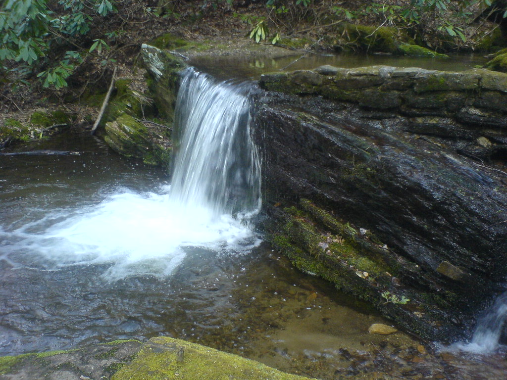
Small Cascade along Sill Branch

IMG_0160.JPG
WP_20141123_063.JPG
Rock Creek Hike
Topographic Map of 19 Pippin Cir, Erwin, TN, USA
Find elevation by address:

Places near 19 Pippin Cir, Erwin, TN, USA:
Nelson Hollow Road
206 Railroad St
405 Fishery Loop Rd
2108 N Main Ave
1150 Prince Ave
1053 Mountainview Rd
1122 E Erwin Rd
207 Old Farm Rd
355 Wilson Rd
105 Woodland Dr
906 Diane Ave
188 Unaka View Dr
500 Ash St
721 N Elm Ave
715 Grove Ave
313 Rich Hollow Rd
Hulen Ave, Erwin, TN, USA
401 N Main Ave
Holly Acres Circle
314 N Willow Ave
Recent Searches:
- Elevation of Mamala II, Sariaya, Quezon, Philippines
- Elevation of Sarangdanda, Nepal
- Elevation of 7 Waterfall Way, Tomball, TX, USA
- Elevation of SW 57th Ave, Portland, OR, USA
- Elevation of Crocker Dr, Vacaville, CA, USA
- Elevation of Pu Ngaol Community Meeting Hall, HWHM+3X7, Krong Saen Monourom, Cambodia
- Elevation of Royal Ontario Museum, Queens Park, Toronto, ON M5S 2C6, Canada
- Elevation of Groblershoop, South Africa
- Elevation of Power Generation Enterprises | Industrial Diesel Generators, Oak Ave, Canyon Country, CA, USA
- Elevation of Chesaw Rd, Oroville, WA, USA