Elevation of Hulen Ave, Erwin, TN, USA
Location: United States > Tennessee > Unicoi County > Erwin >
Longitude: -82.406117
Latitude: 36.143081
Elevation: 541m / 1775feet
Barometric Pressure: 95KPa
Elevation Map:
Satellite Map:
Related Photos:

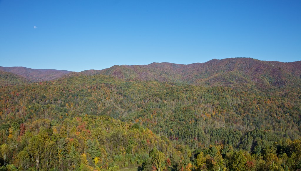
View from Beauty Spot

Pinnacle Mountain Fire Tower HDR Panorama

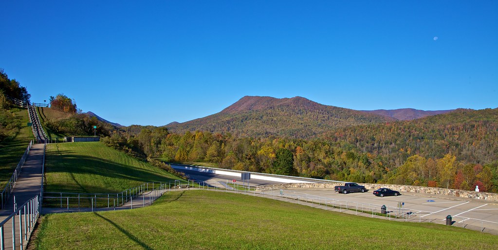
203 walking down path to parking lot

Buffalo Pano

View from Beauty Spot

195 Trail to top of hill at rest stop in Tennessee

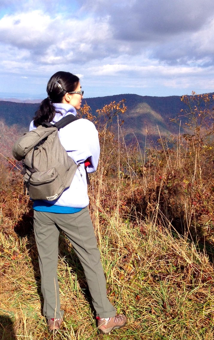
201 Claire on the trail

Pinnacle Tower HDR Panorama 2

197 On the trail to the top
199 View top of the trail
193 First Scenic Lookout on Hwy 26 East into Tenn

View from White Rocks on Buffalo Mountain

Toby's, Limestone Cove

View from Beauty Spot
View-Top of Lost Cove
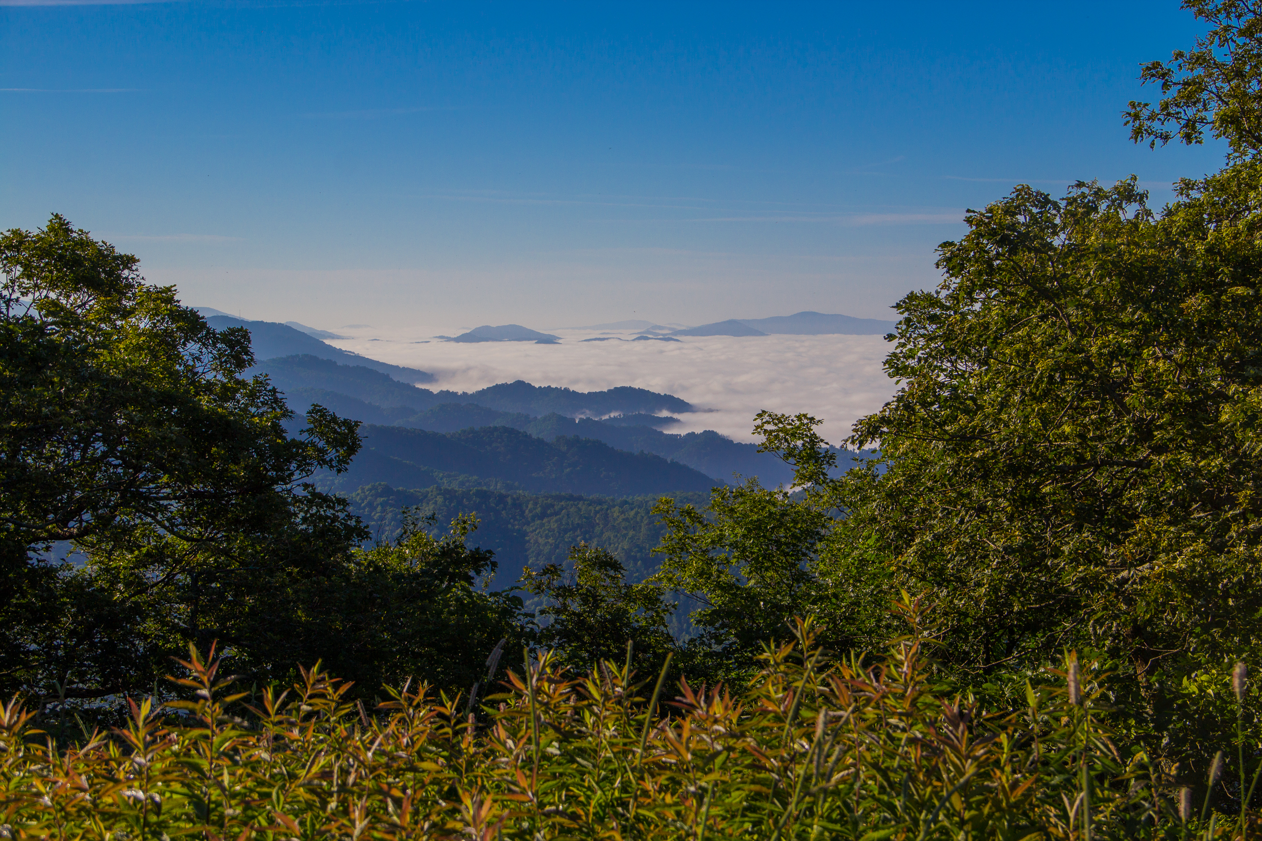
Fog Below Roan Mountain, Pisgah National Forest, North Carolina
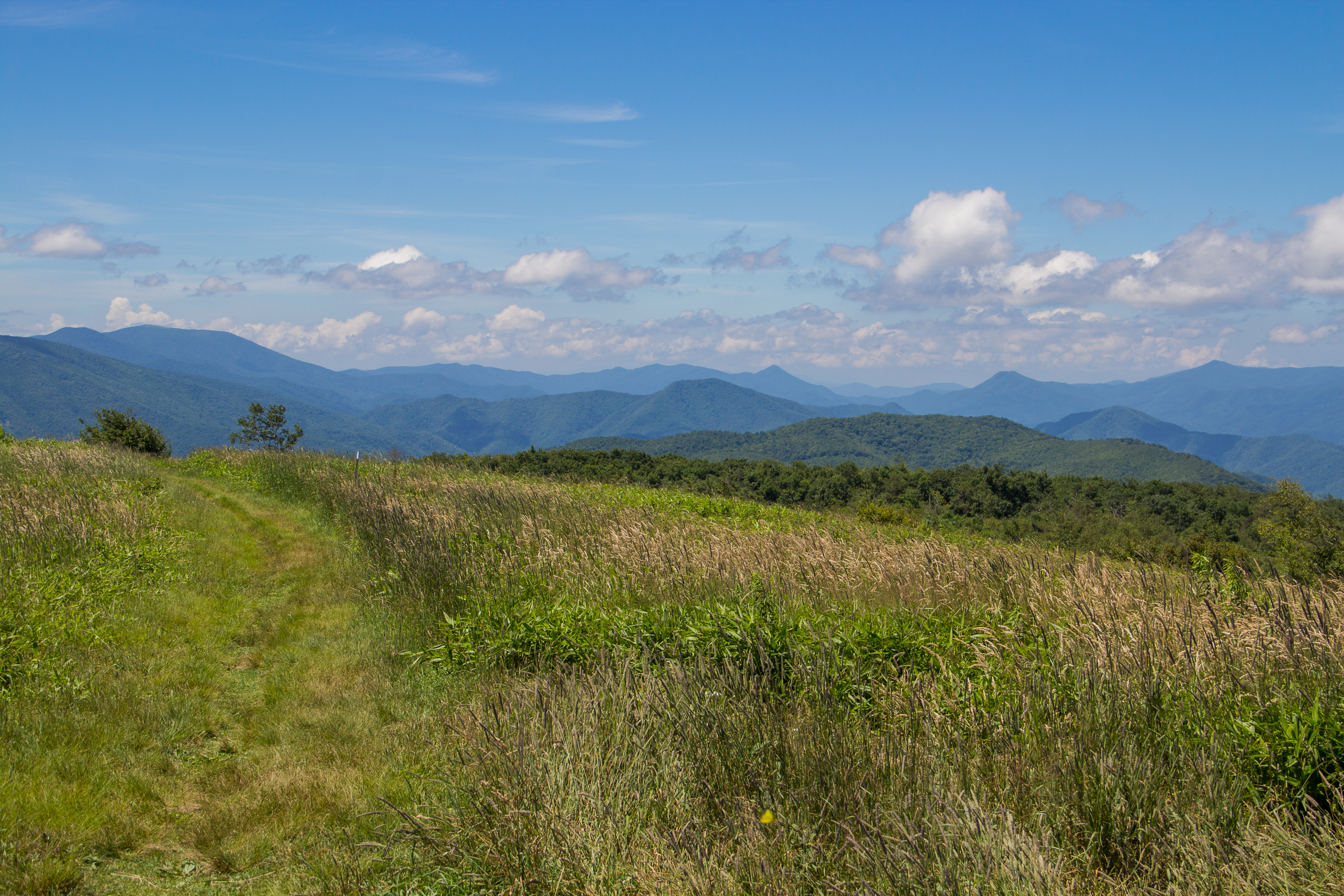
Beauty Spot, Appalachian Trail, Cherokee National Forest, Tennessee
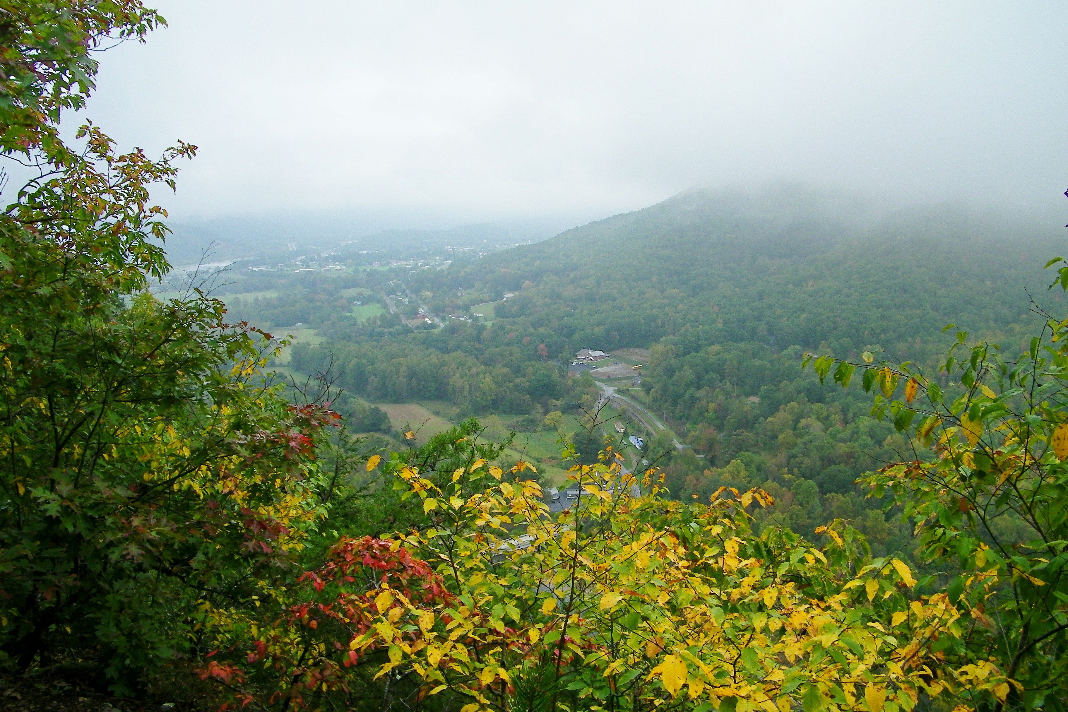
Erwin, TN

...
Appalachian Trail
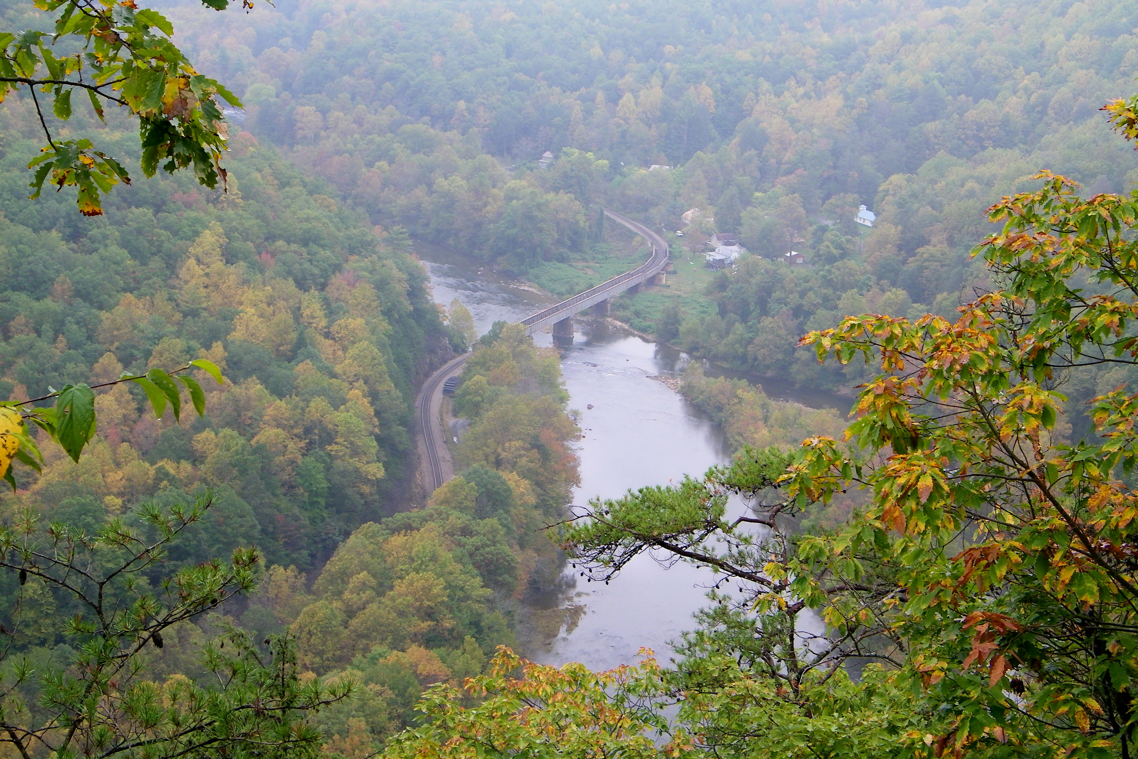
Railroad Trestle over the Nolichucky River

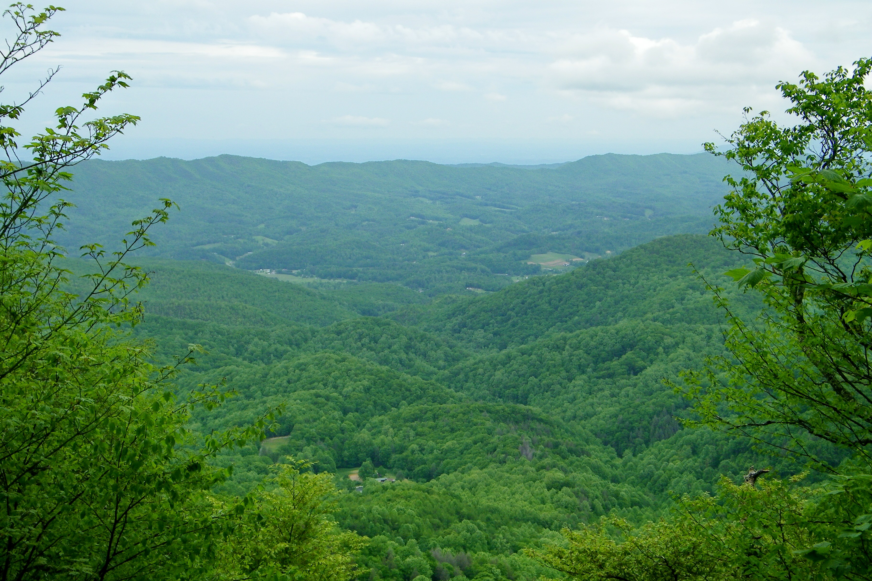
Unicoi Mountain

Pete-WH6LE Heading to W4T/SU-025 - Little Bald Knob

WP_20141124_040.JPG

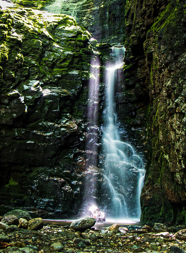
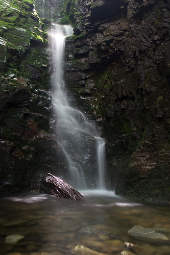
Red Fork Falls
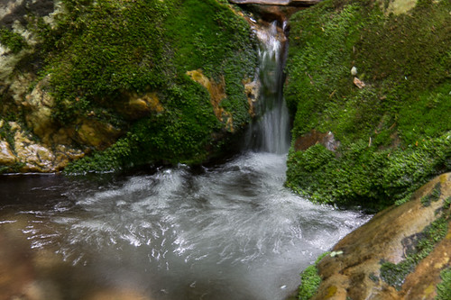
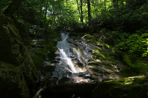
Rock Creek Hike
Rock Creek Hike

Rock Creek Hike
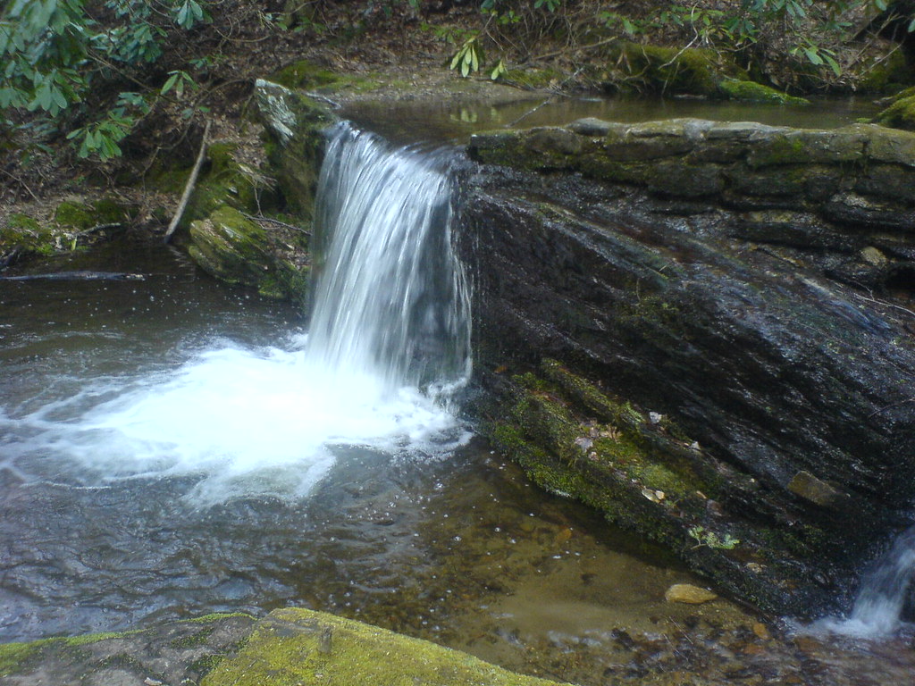
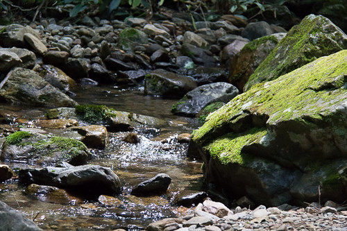
Clear Fork Creek
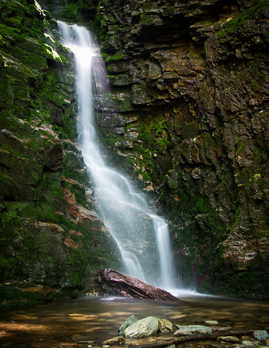
Rock Creek Hike
WP_20141123_063.JPG
Rock Creek Hike
Rock Creek Hike
Rock Creek Hike
Bald Mountains Panorama 1 2014-1102
Garry AT Hike 2013-05-21 @ 19-32-39

Nolichucky River
Topographic Map of Hulen Ave, Erwin, TN, USA
Find elevation by address:

Places near Hulen Ave, Erwin, TN, USA:
314 N Willow Ave
210 Florida Ave
715 Grove Ave
500 Ash St
213 N Willow Ave
318 Unaka Way St
721 N Elm Ave
217 2nd St
230 1st St
341 Ohio Ave
401 N Main Ave
Erwin
Erwin
Erwin
Erwin
Erwin
Erwin
207 Old Farm Rd
111 S Main Ave
1053 Mountainview Rd
Recent Searches:
- Elevation of Lampiasi St, Sarasota, FL, USA
- Elevation of Elwyn Dr, Roanoke Rapids, NC, USA
- Elevation of Congressional Dr, Stevensville, MD, USA
- Elevation of Bellview Rd, McLean, VA, USA
- Elevation of Stage Island Rd, Chatham, MA, USA
- Elevation of Shibuya Scramble Crossing, 21 Udagawacho, Shibuya City, Tokyo -, Japan
- Elevation of Jadagoniai, Kaunas District Municipality, Lithuania
- Elevation of Pagonija rock, Kranto 7-oji g. 8"N, Kaunas, Lithuania
- Elevation of Co Rd 87, Jamestown, CO, USA
- Elevation of Tenjo, Cundinamarca, Colombia