Elevation of Delta, WI, USA
Location: United States > Wisconsin > Bayfield County >
Longitude: -91.295683
Latitude: 46.451217
Elevation: 316m / 1037feet
Barometric Pressure: 98KPa
Elevation Map:
Satellite Map:
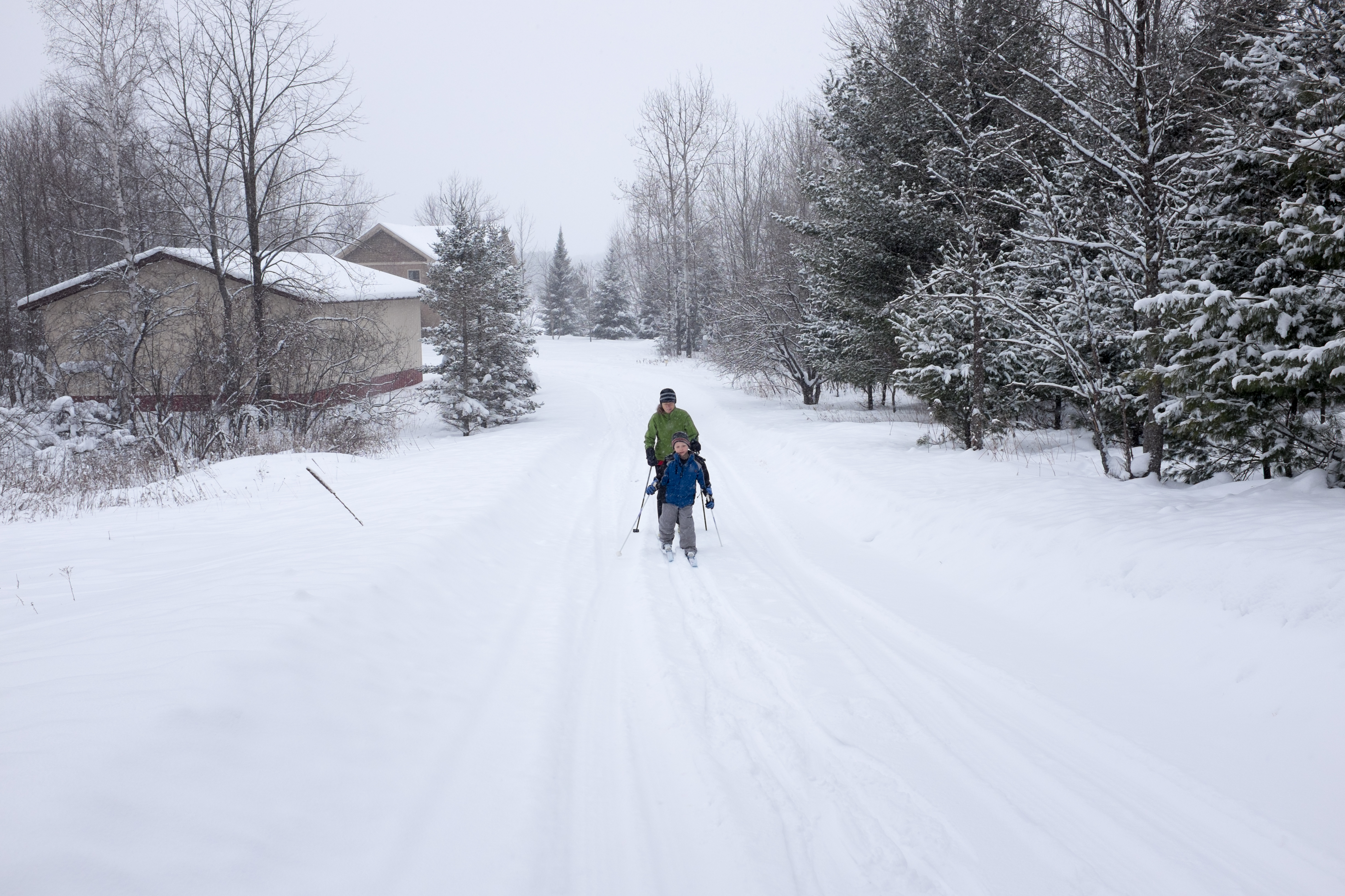
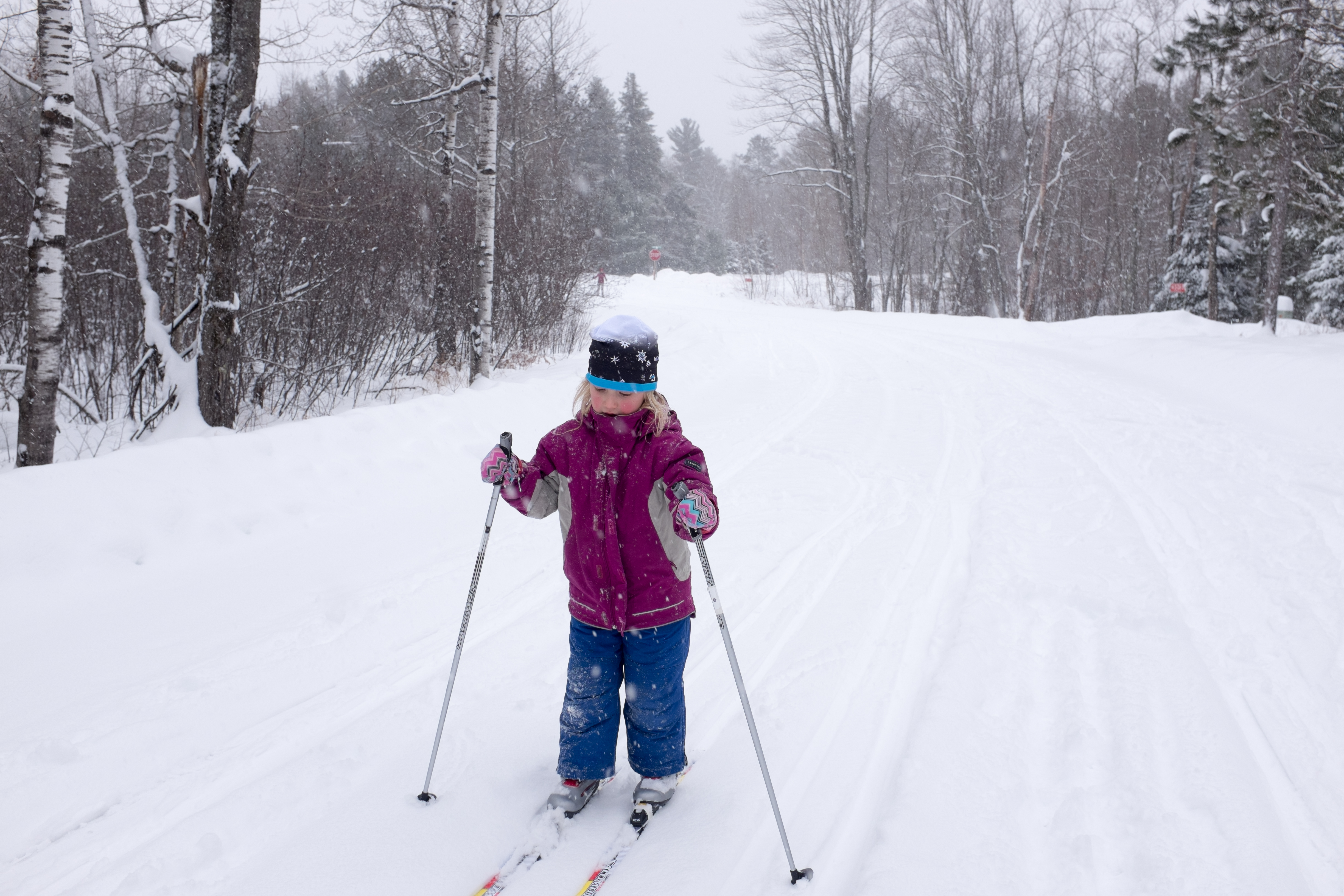
Related Photos:
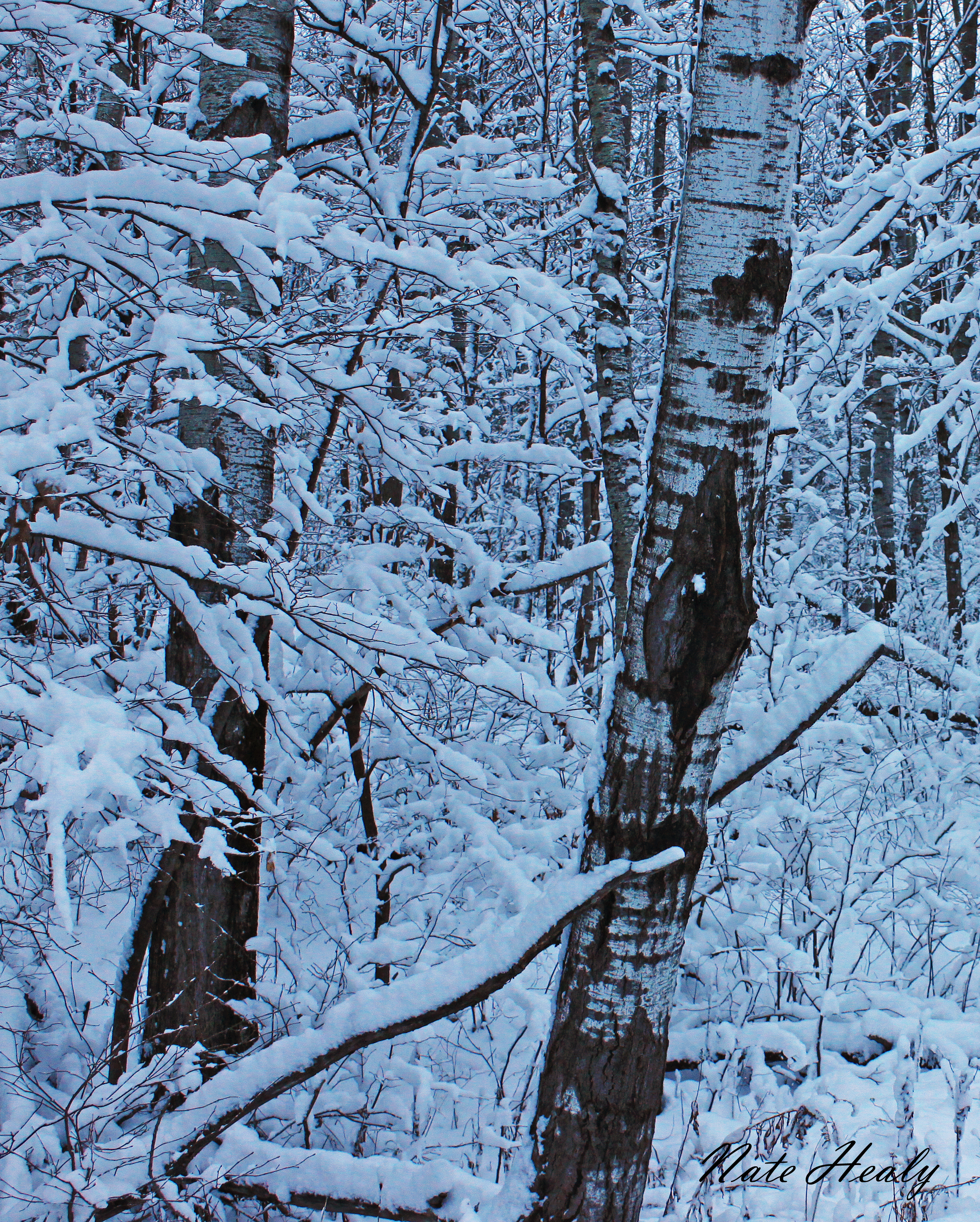
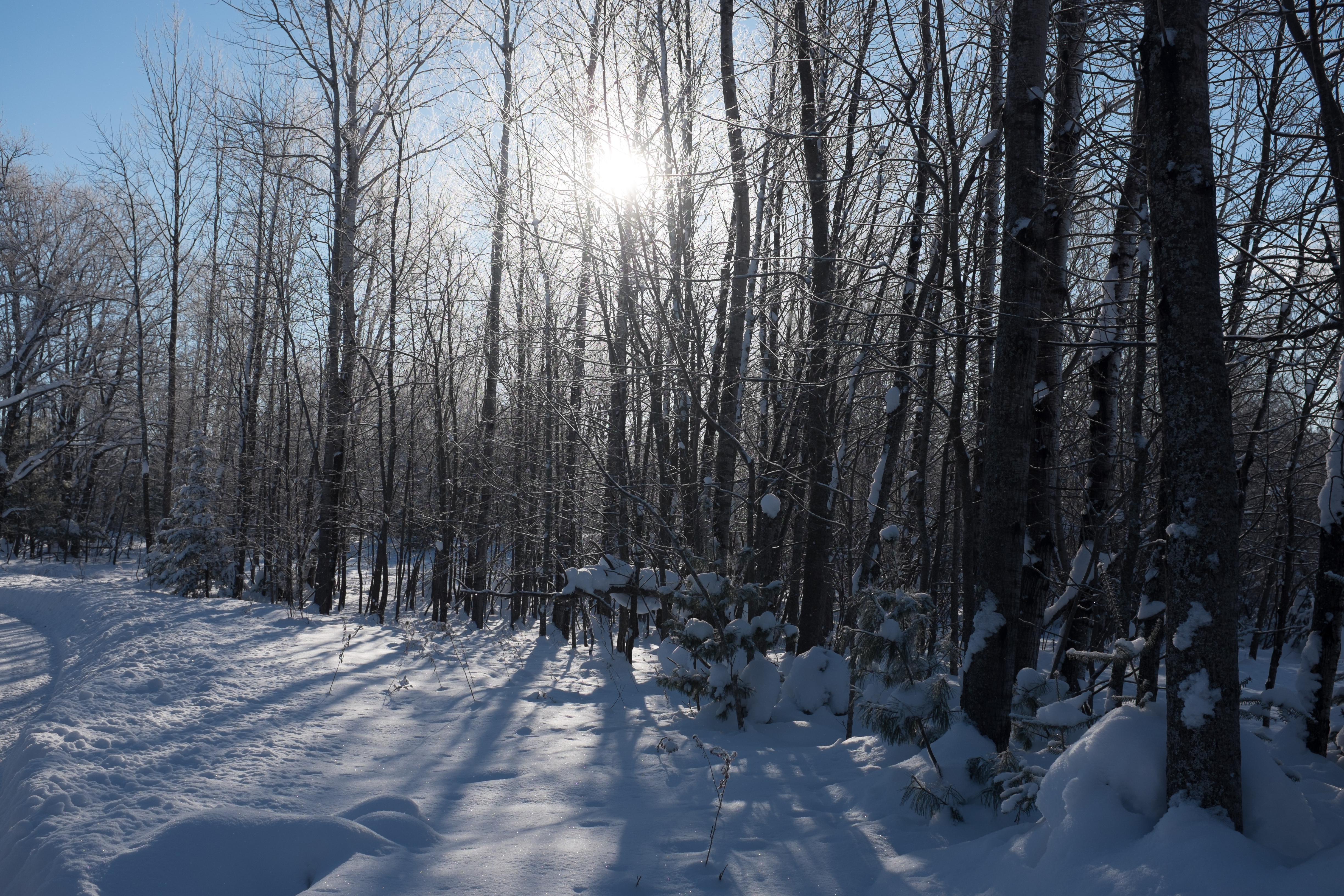
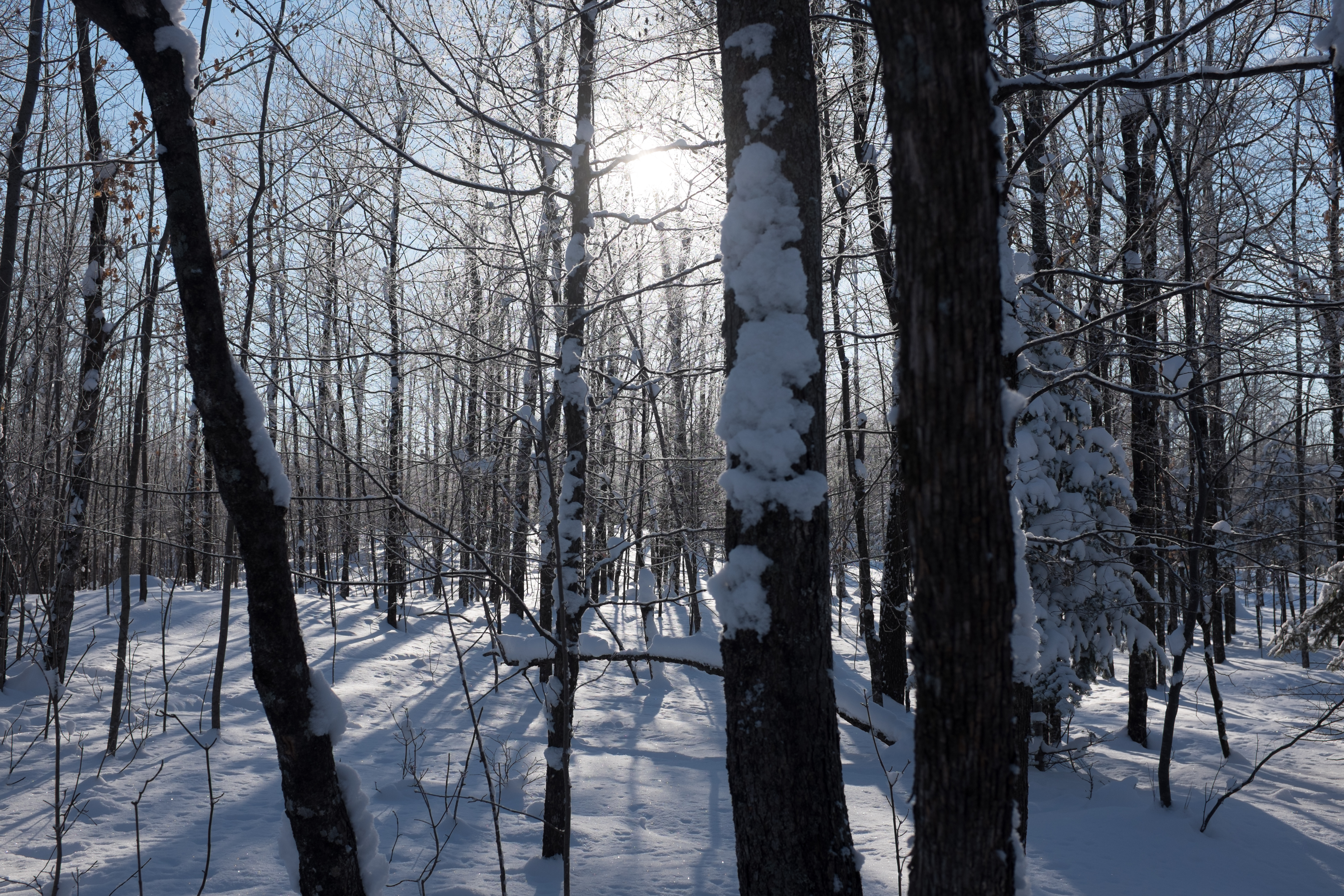
Winter Birch

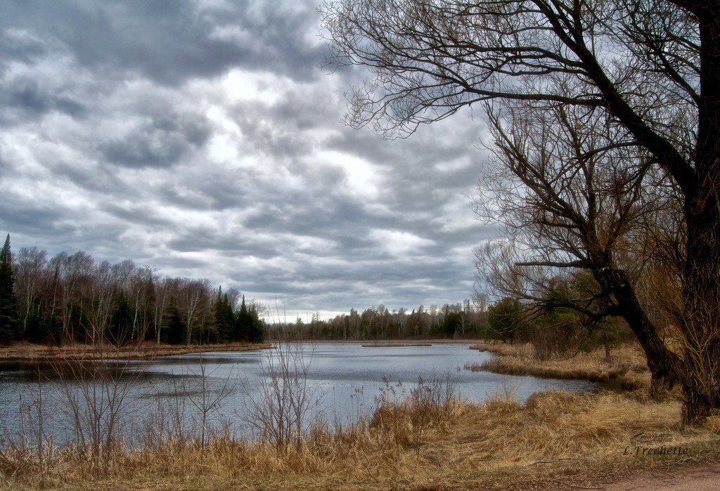
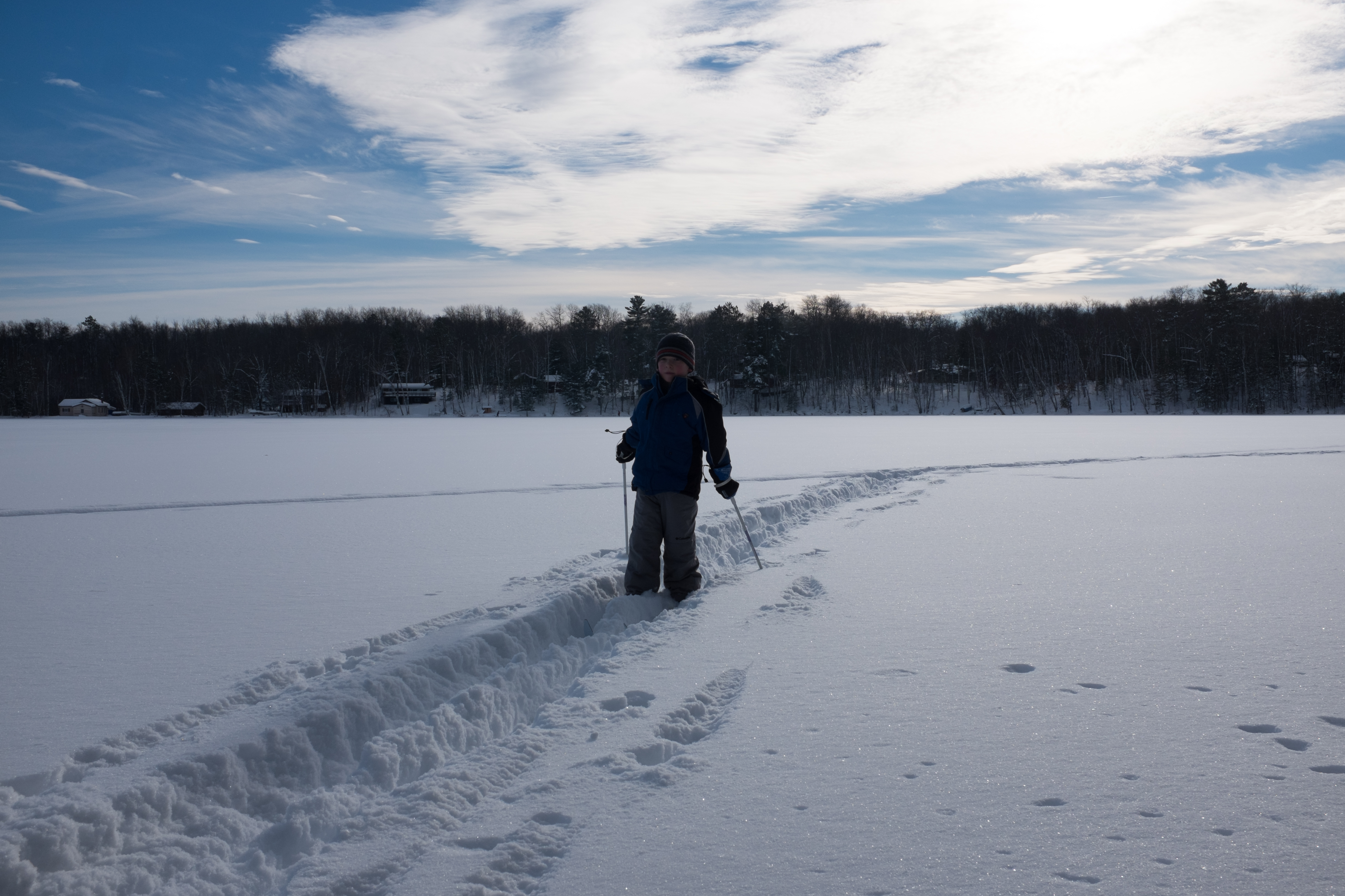
Sundown on Haviar Road
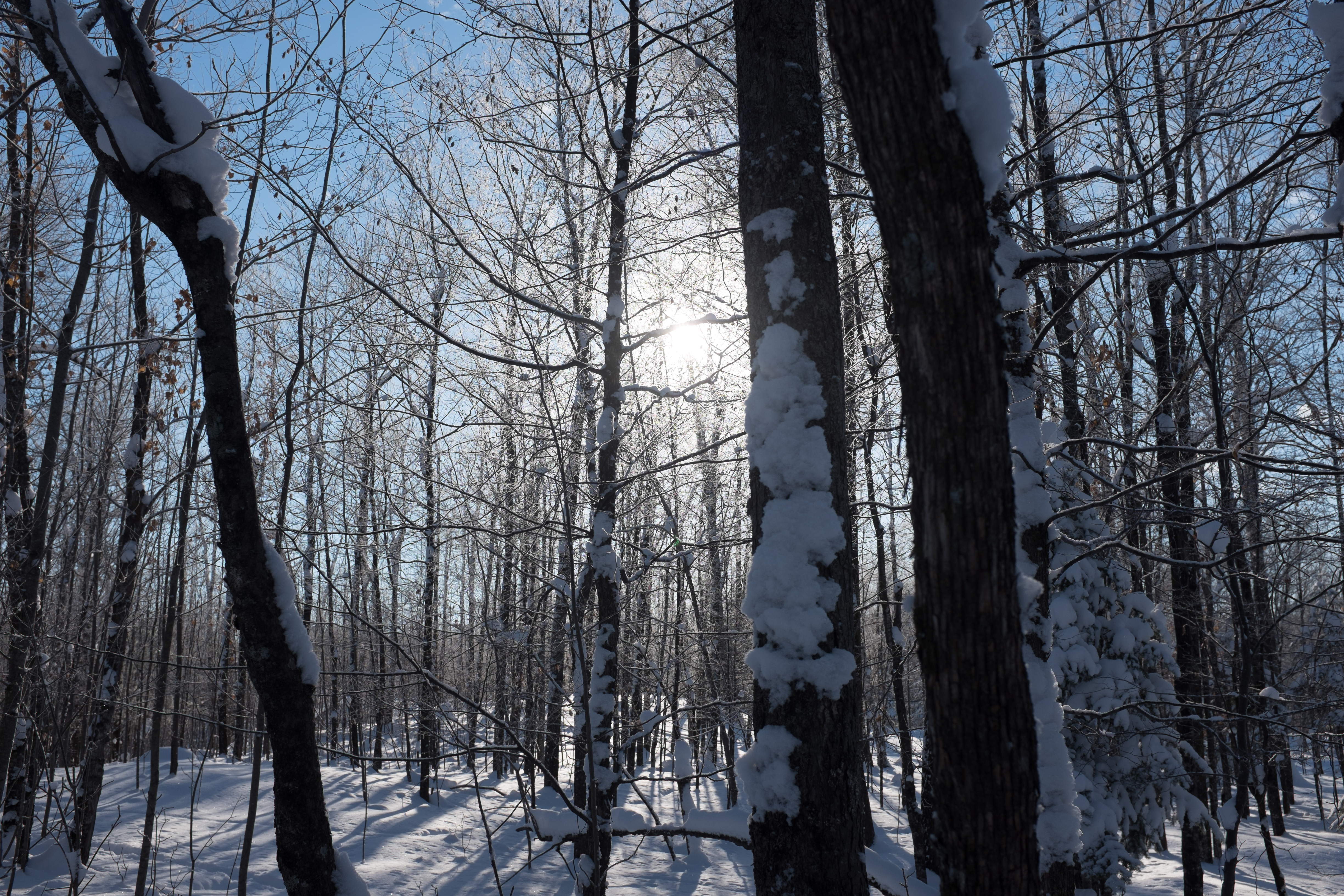
Boris Lake Road

Rural Contentment...................

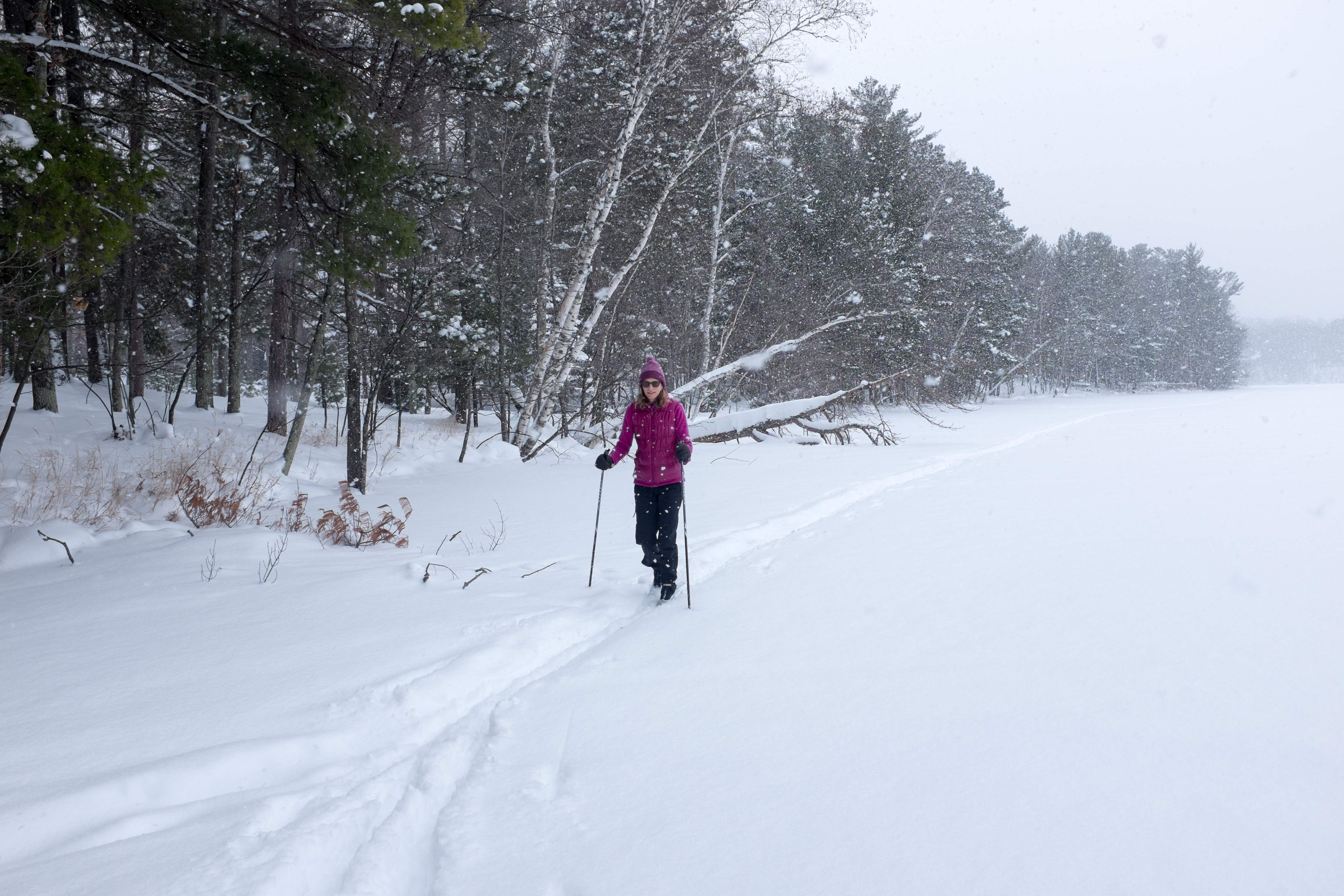
Winter Glow
20131222NEM10614.jpg
20131222NEM10676.jpg

20131227NEM0023.jpg
20131224NEM0071.jpg
20131225NEM0013-2.jpg
20131224NEM0114.jpg

Fall Colors

20131221NEM10545.jpg
20131224NEM0077.jpg
20131224NEM0076.jpg

20131226NEM0005.jpg
20131222NEM10601.jpg
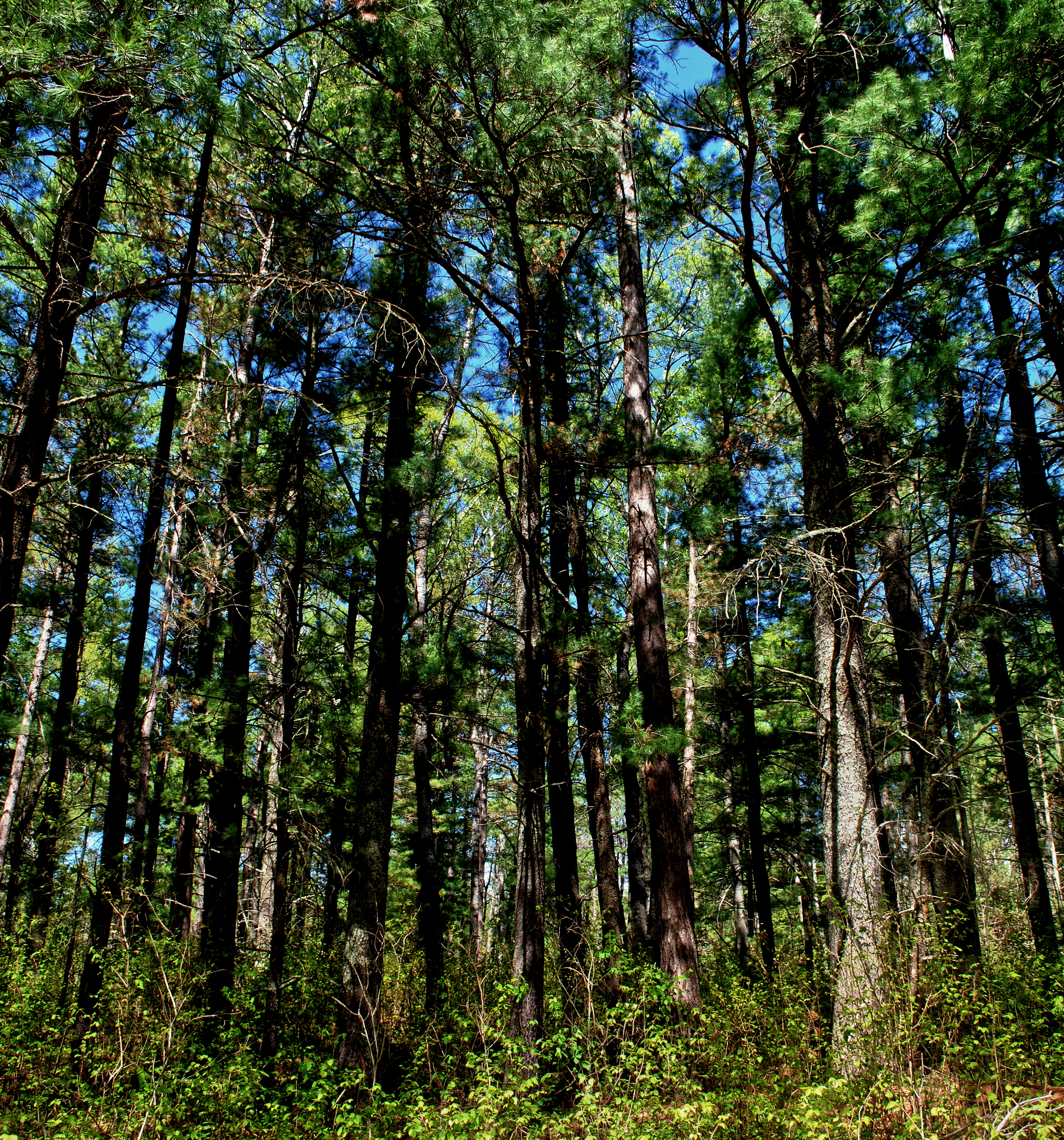
Camp Nine Pines State Natural Area

20131221NEM10530.jpg

20131223NEM10694.jpg

20131223NEM10691.jpg
20131222NEM10672.jpg
Topographic Map of Delta, WI, USA
Find elevation by address:

Places in Delta, WI, USA:
Places near Delta, WI, USA:
Grummet Road
Camp 1 Rd, Mason, WI, USA
Pilsen
75140 Co Hwy A
Moquah Ski Hill Road
Bayfield County
Washburn
Port Wing
Clover
Port Wing
27545 S Maple Hill Rd
Lenawee Rd, Herbster, WI, USA
Herbster
County Hwy E, Ashland, WI, USA
122 14th Ave W
705 Main St W
715 Chapple Ave
Abc Raceway
1223 Chapple Ave
Ashland
Recent Searches:
- Elevation of Lampiasi St, Sarasota, FL, USA
- Elevation of Elwyn Dr, Roanoke Rapids, NC, USA
- Elevation of Congressional Dr, Stevensville, MD, USA
- Elevation of Bellview Rd, McLean, VA, USA
- Elevation of Stage Island Rd, Chatham, MA, USA
- Elevation of Shibuya Scramble Crossing, 21 Udagawacho, Shibuya City, Tokyo -, Japan
- Elevation of Jadagoniai, Kaunas District Municipality, Lithuania
- Elevation of Pagonija rock, Kranto 7-oji g. 8"N, Kaunas, Lithuania
- Elevation of Co Rd 87, Jamestown, CO, USA
- Elevation of Tenjo, Cundinamarca, Colombia