Elevation of Port Wing, WI, USA
Location: United States > Wisconsin > Bayfield County > Port Wing >
Longitude: -91.387545
Latitude: 46.7750203
Elevation: 203m / 666feet
Barometric Pressure: 99KPa
Elevation Map:
Satellite Map:
Related Photos:

Northern Lights

Around the Bend

View from behind Twin Falls

Twin Falls

Upper falls as seen from overlook

Lake Superior Shoreline

Upper falls, blurred with 1/2 second exposure

Entering Douglas County (Douglas County, Wisconsin)

Water slide

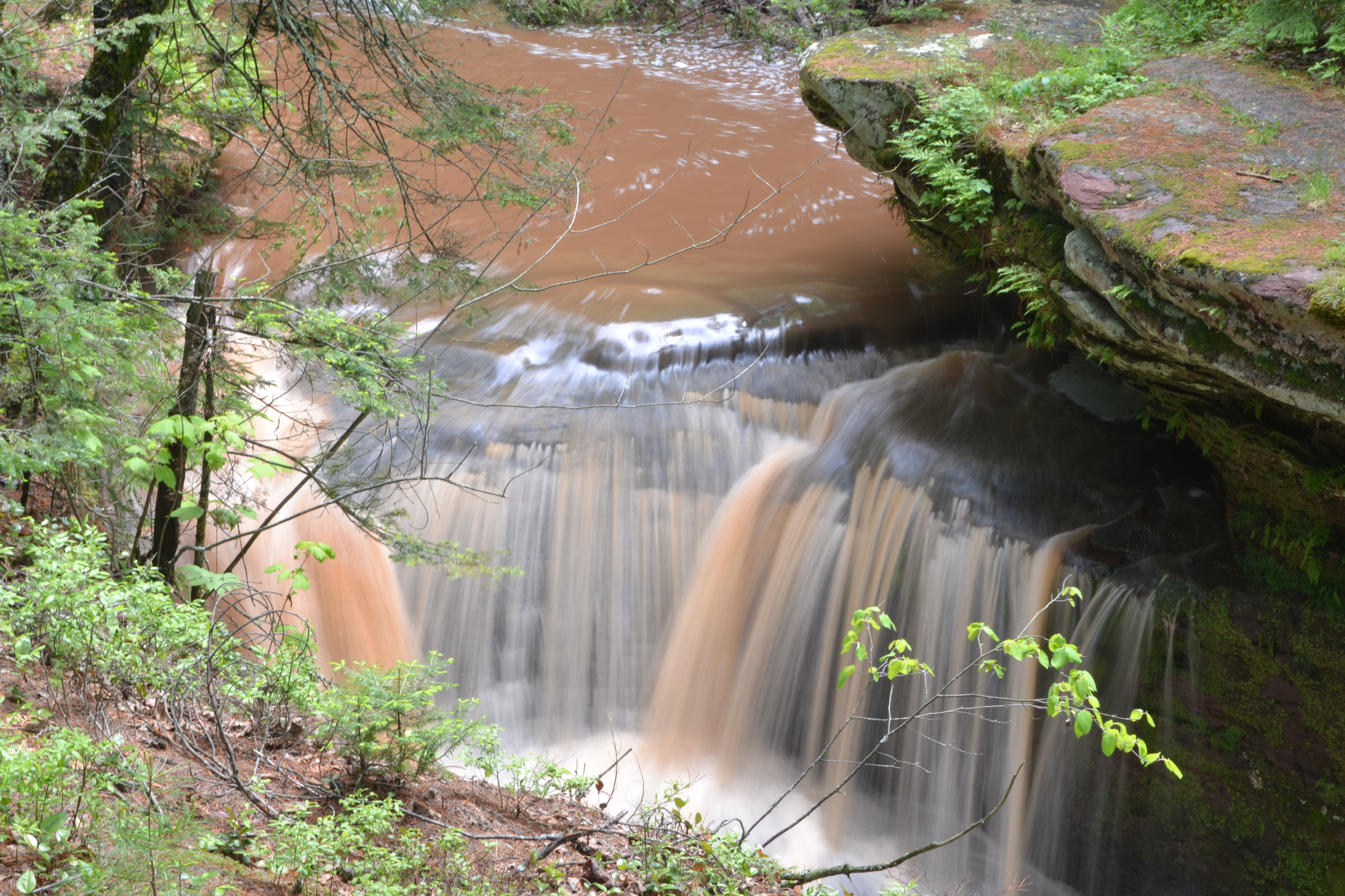
Twin Falls, Port Wing, Wisconsin

Twin Falls splashway

Entering Bayfield County (Bayfield County, Wisconsin)

Tammy behind the falls

Sunday Road Tripping 07

Trail to Twin Falls

Fell tree

Evening on the edge of Lake Superior

Lake Superior Shoreline

Angle to Key West

Port Wing Boreal Forest State Natural Area

Sunday Road Tripping 04

Angle to Key West

Upper Twin Falls

Lake Superior

Port Wing Boreal Forest State Natural Area
Upper Twin Falls
Topographic Map of Port Wing, WI, USA
Find elevation by address:

Places near Port Wing, WI, USA:
Port Wing
75140 Co Hwy A
Lenawee Rd, Herbster, WI, USA
Herbster
Clover
Bayfield County
Pilsen
Grummet Road
Washburn
Camp 1 Rd, Mason, WI, USA
Delta
88550 Traders Pass
Moquah Ski Hill Road
27545 S Maple Hill Rd
Bayfield
Beaver Bay
209 Fortier Rd
Washington Ave, Washburn, WI, USA
Washburn
122 14th Ave W
Recent Searches:
- Elevation of Groblershoop, South Africa
- Elevation of Power Generation Enterprises | Industrial Diesel Generators, Oak Ave, Canyon Country, CA, USA
- Elevation of Chesaw Rd, Oroville, WA, USA
- Elevation of N, Mt Pleasant, UT, USA
- Elevation of 6 Rue Jules Ferry, Beausoleil, France
- Elevation of Sattva Horizon, 4JC6+G9P, Vinayak Nagar, Kattigenahalli, Bengaluru, Karnataka, India
- Elevation of Great Brook Sports, Gold Star Hwy, Groton, CT, USA
- Elevation of 10 Mountain Laurels Dr, Nashua, NH, USA
- Elevation of 16 Gilboa Ln, Nashua, NH, USA
- Elevation of Laurel Rd, Townsend, TN, USA