Elevation of Co Hwy A, Iron River, WI, USA
Location: United States > Wisconsin > Bayfield County > Iron River >
Longitude: -91.386552
Latitude: 46.6573725
Elevation: 260m / 853feet
Barometric Pressure: 98KPa
Elevation Map:
Satellite Map:
Related Photos:

Northern Lights

Two room King School 1916-1948

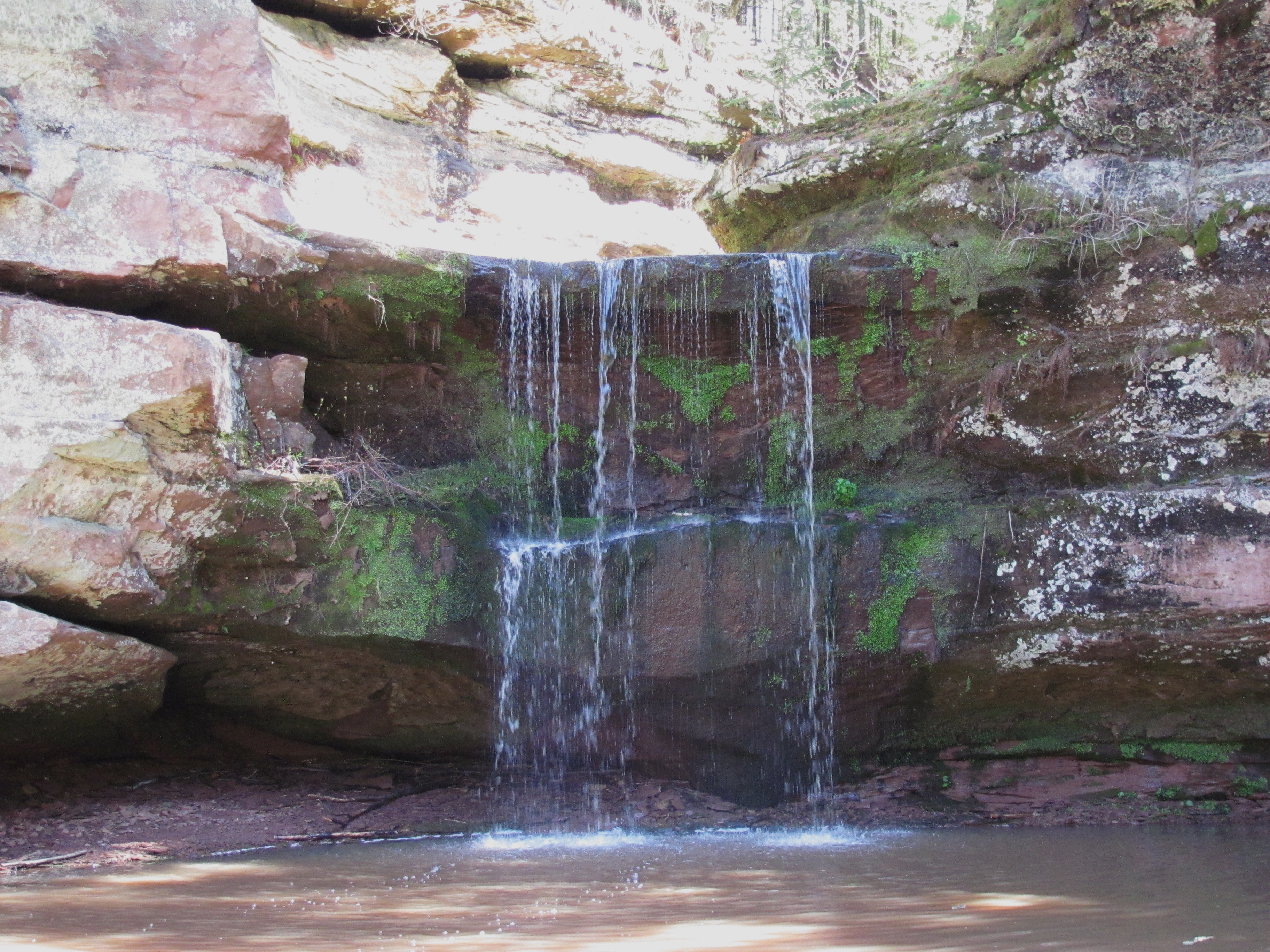
View from behind Twin Falls
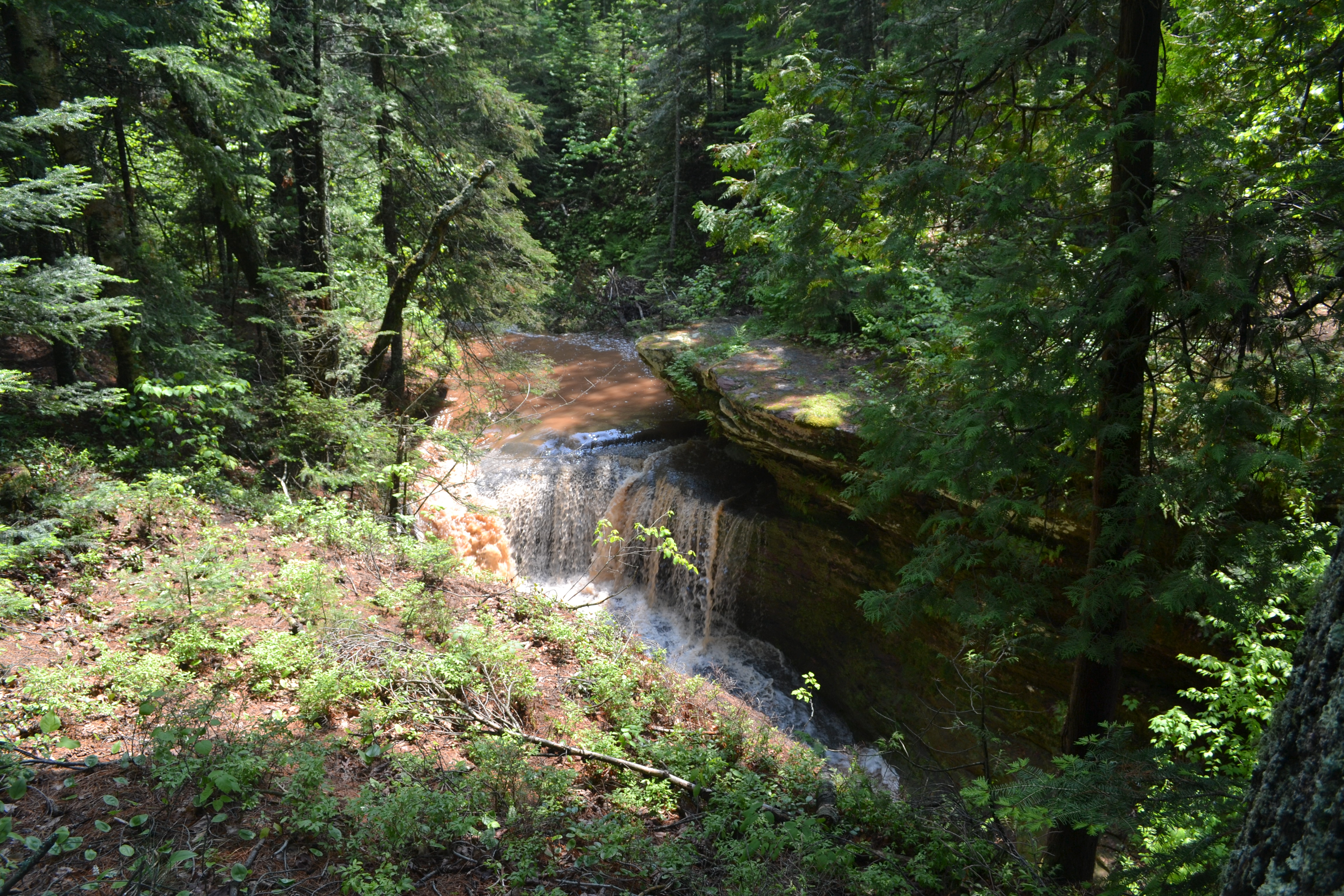
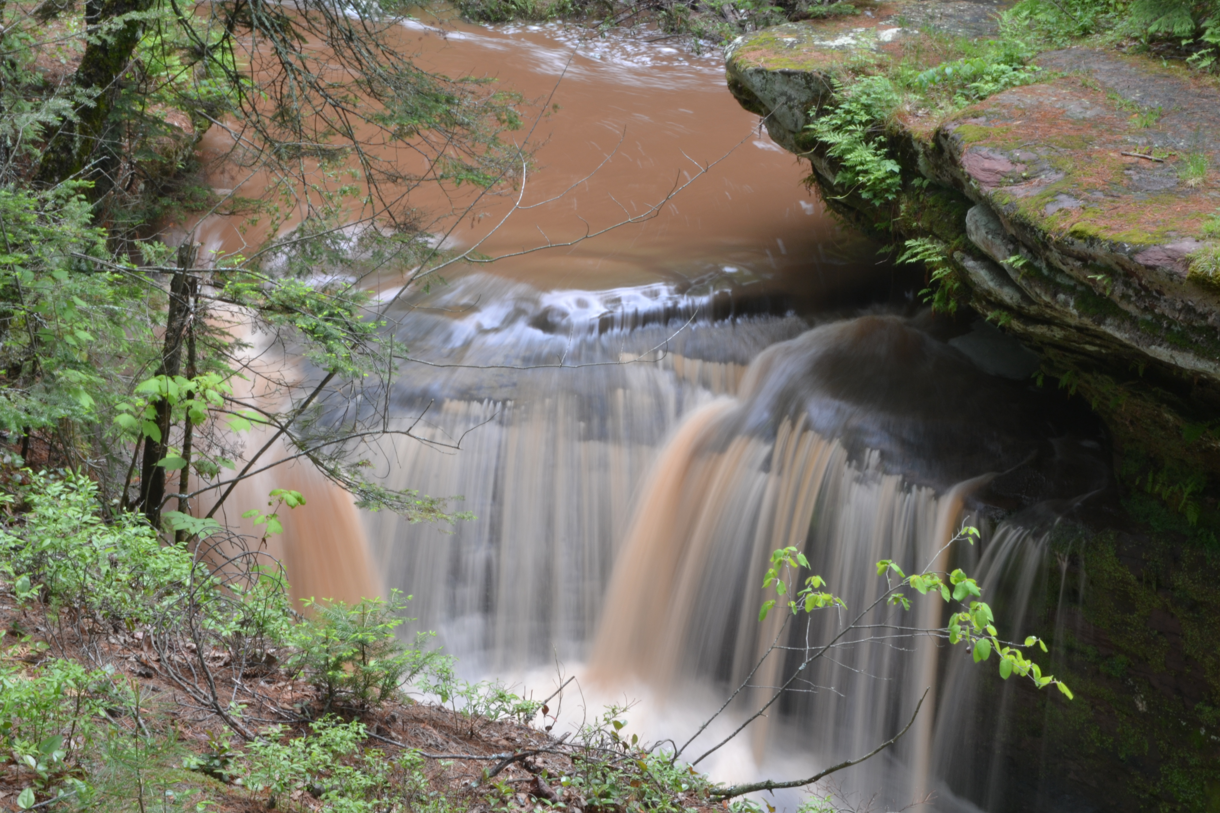
Twin Falls

Upper falls as seen from overlook

Water slide

While We Were On the River

Twin Falls splashway
20131222NEM10614.jpg
15 Lower Falls
20131222NEM10676.jpg

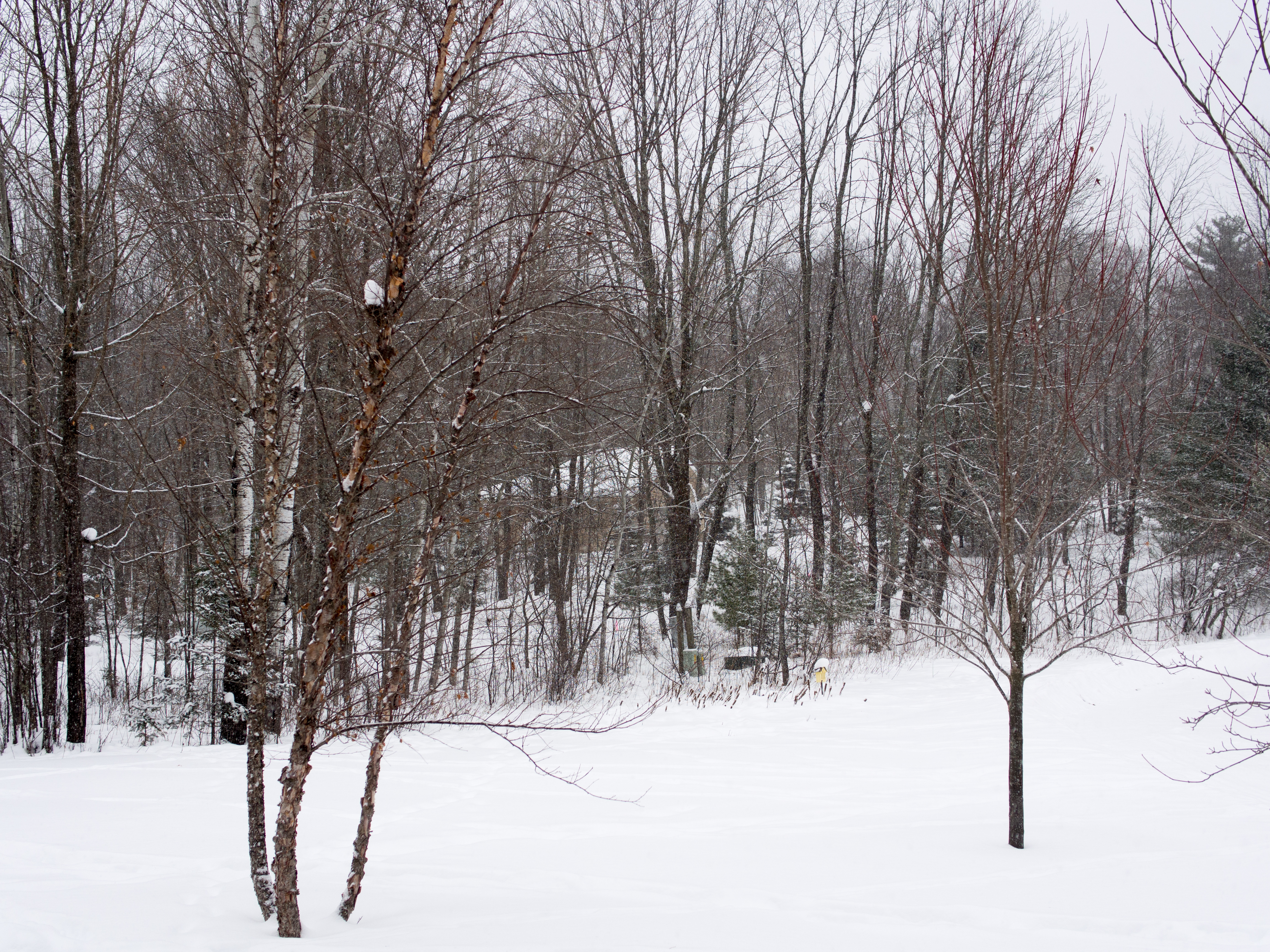
Storm Rolling In

Pine Lake

20131227NEM0023.jpg

Twin Falls, Port Wing, Wisconsin
Upper falls, blurred with 1/2 second exposure

Tammy behind the falls

20131224NEM0071.jpg

20131225NEM0013-2.jpg

Best Sky
Sunday Road Tripping 07

Port Wing Boreal Forest State Natural Area
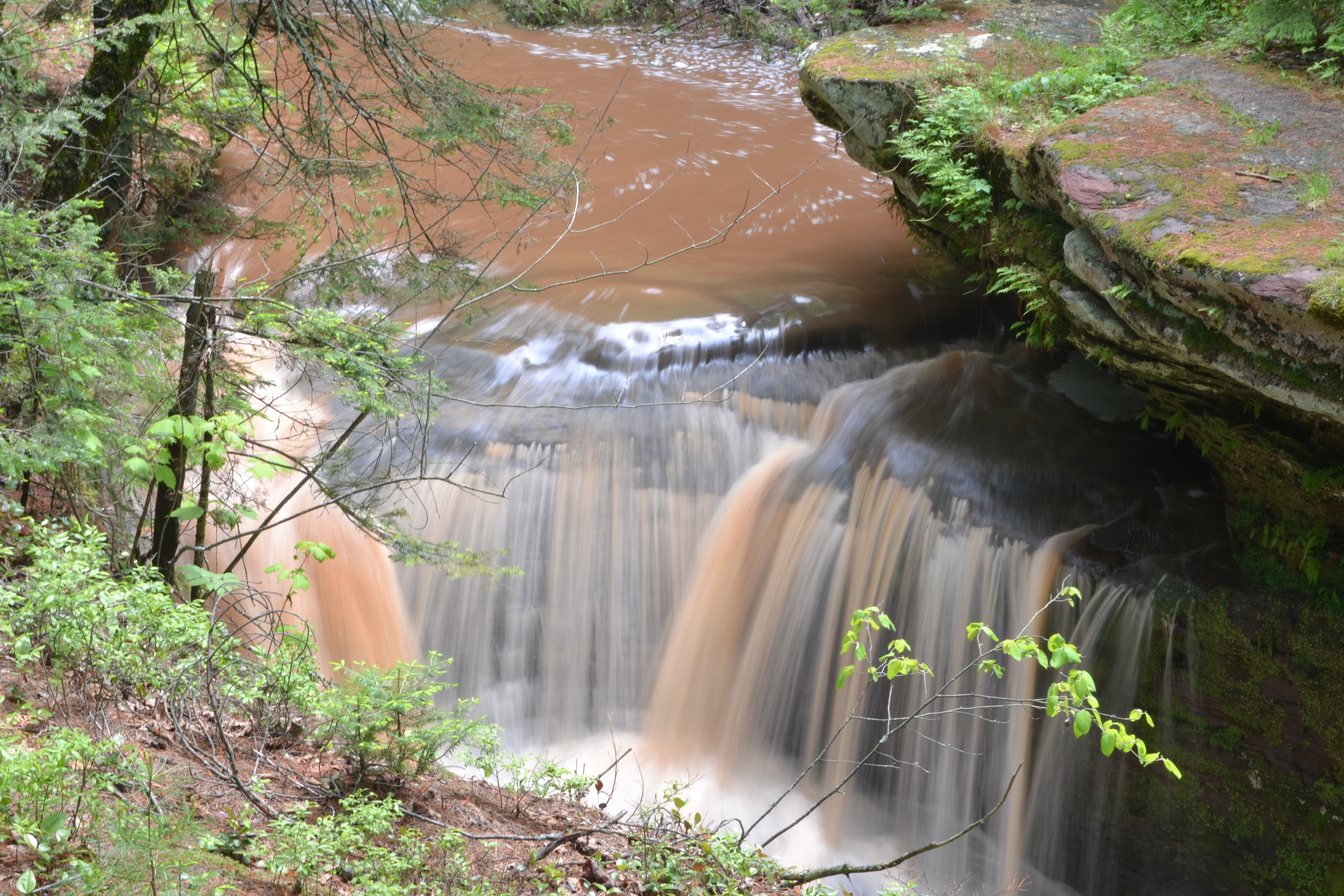
Upper falls, blurred with 1/2 second exposure
20131224NEM0114.jpg
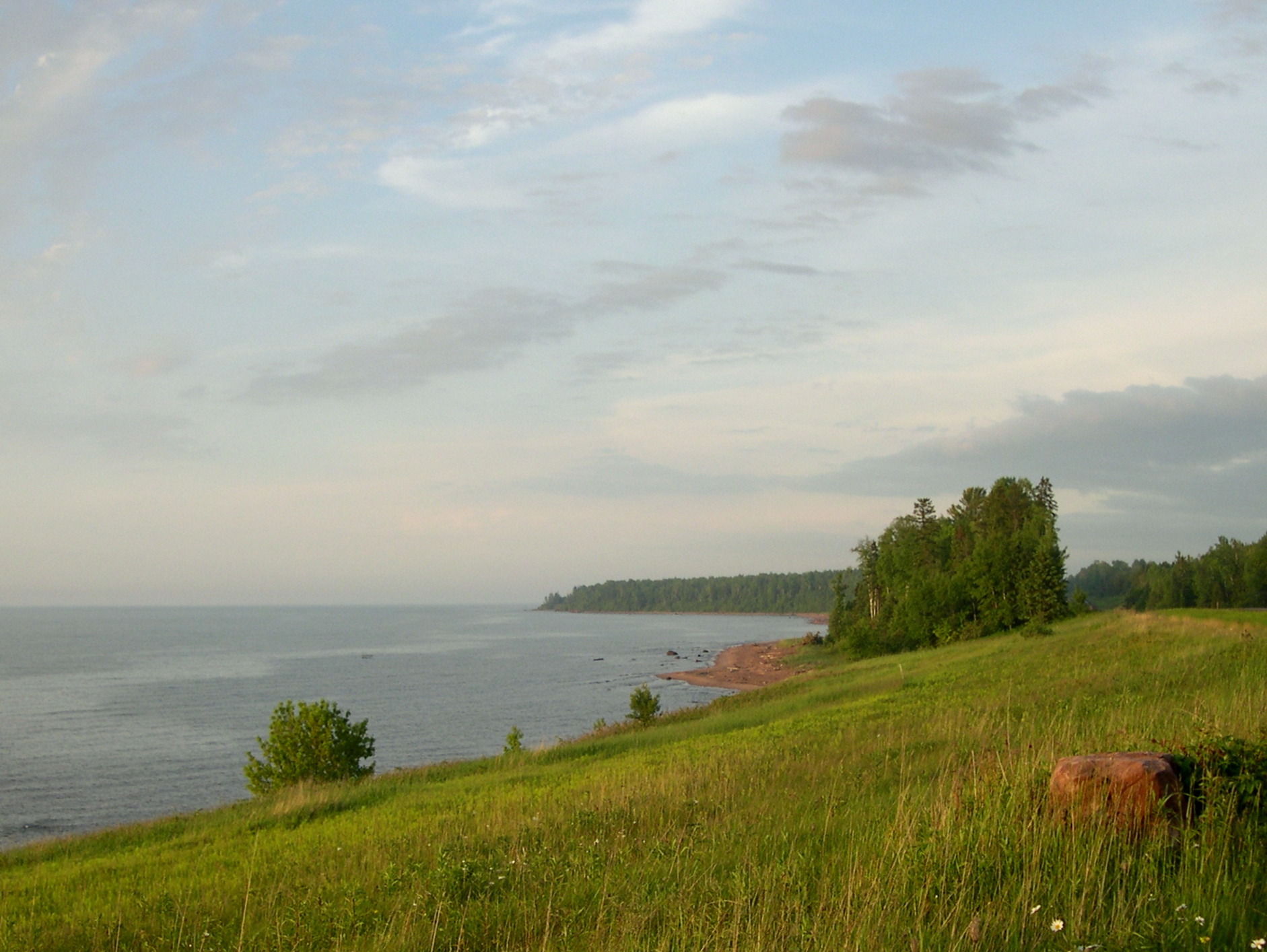
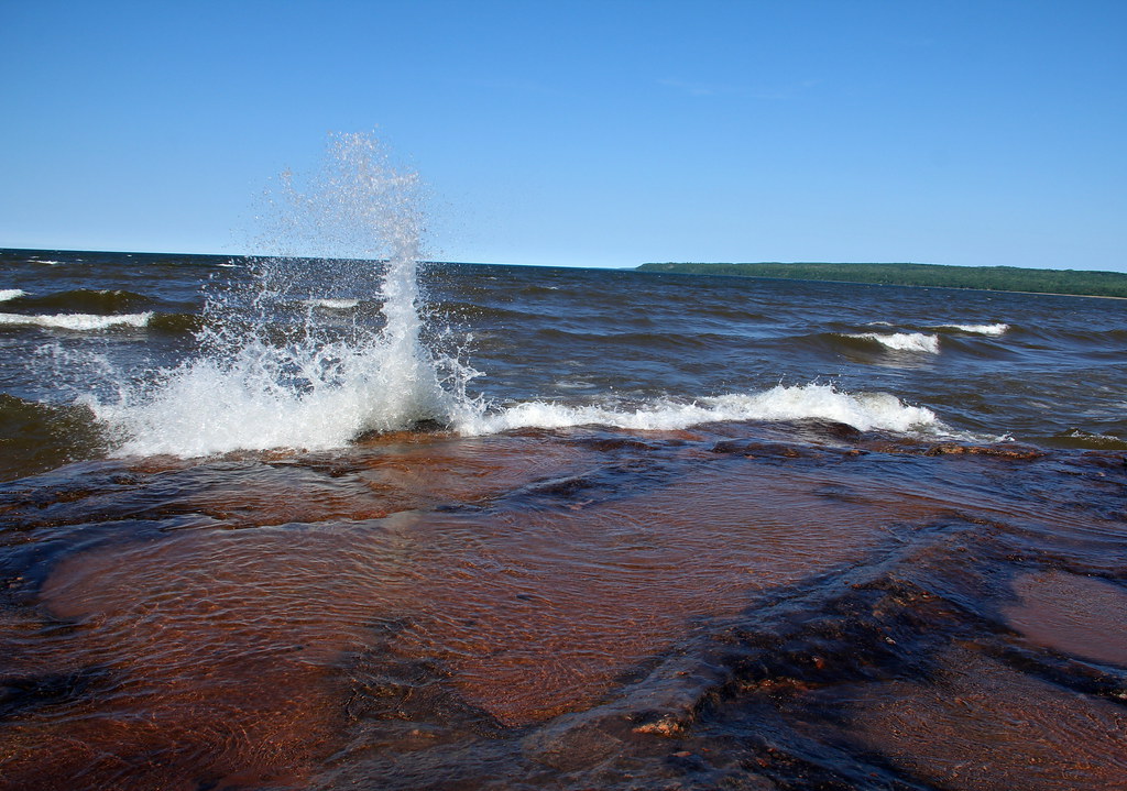
Evening on the edge of Lake Superior

Angle to Key West
Topographic Map of Co Hwy A, Iron River, WI, USA
Find elevation by address:

Places near Co Hwy A, Iron River, WI, USA:
Port Wing
Port Wing
Clover
Grummet Road
Camp 1 Rd, Mason, WI, USA
Lenawee Rd, Herbster, WI, USA
Herbster
Delta
Pilsen
Bayfield County
Washburn
Moquah Ski Hill Road
27545 S Maple Hill Rd
88550 Traders Pass
122 14th Ave W
Washington Ave, Washburn, WI, USA
Washburn
209 Fortier Rd
Bayfield
705 Main St W
Recent Searches:
- Elevation of W Prive Cir, Delray Beach, FL, USA
- Elevation of S Layton Cir W, Layton, UT, USA
- Elevation of F36W+3M, Mussoorie, Uttarakhand, India
- Elevation of Fairland Ave, Fairhope, AL, USA
- Elevation of Sunset Dr, Richmond, VA, USA
- Elevation of Grodna District, Hrodna Region, Belarus
- Elevation of Hrodna, Hrodna Region, Belarus
- Elevation of Sandia Derby Estates, Tijeras, NM, USA
- Elevation of 23 Sunrise View Ct, Tijeras, NM, USA
- Elevation of Lytham Ln, Katy, TX, USA