Elevation of Chapple Ave, Ashland, WI, USA
Location: United States > Wisconsin > Ashland County > Ashland >
Longitude: -90.882435
Latitude: 46.5789677
Elevation: 214m / 702feet
Barometric Pressure: 99KPa
Elevation Map:
Satellite Map:
Related Photos:

Retired Politician
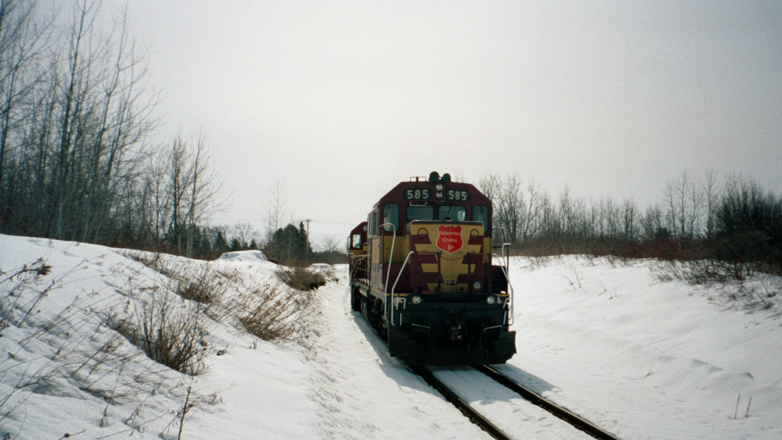
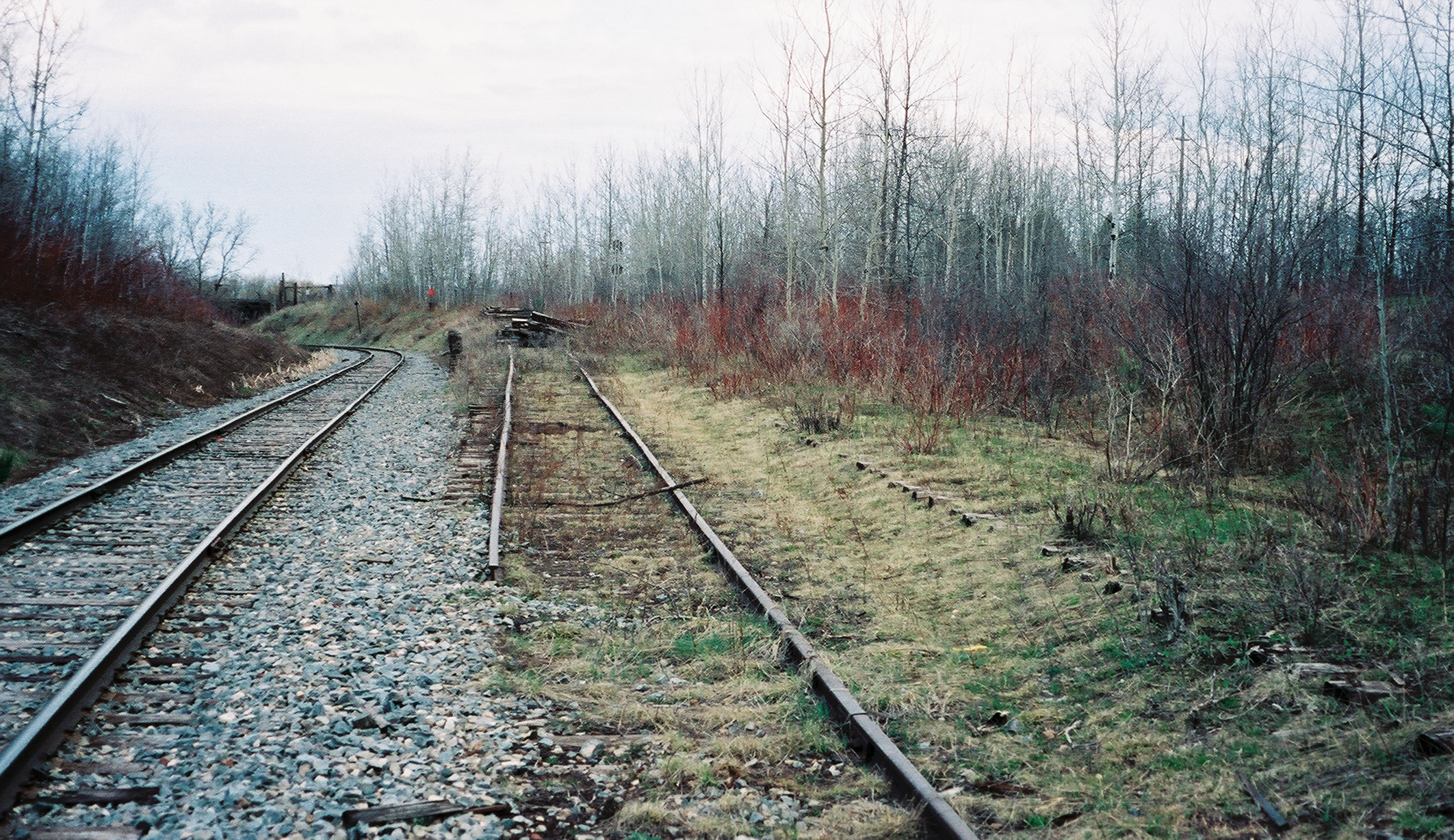
Working on the Railroad 4

Rusty Nash

Old Wrecker
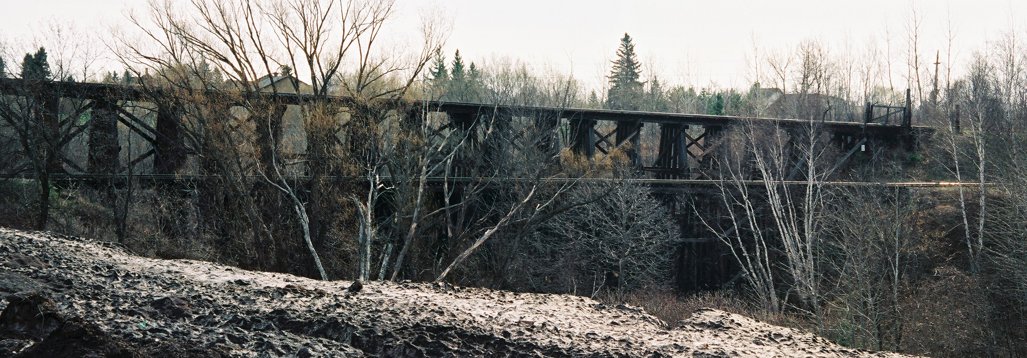
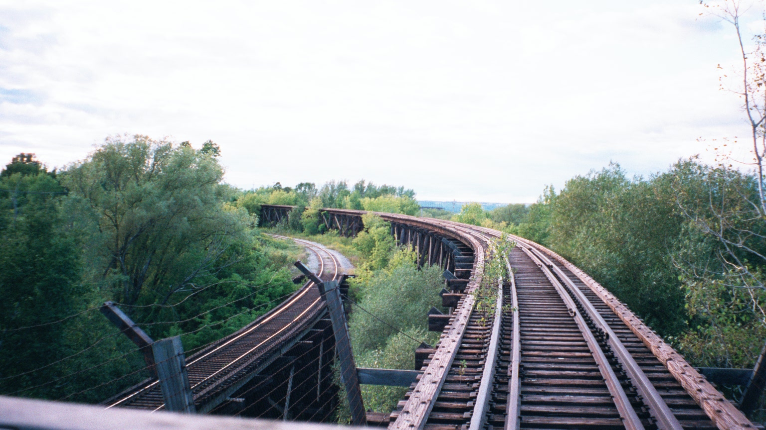
Two Trestles_Panorama1 copy
Ashland, WI ore dock
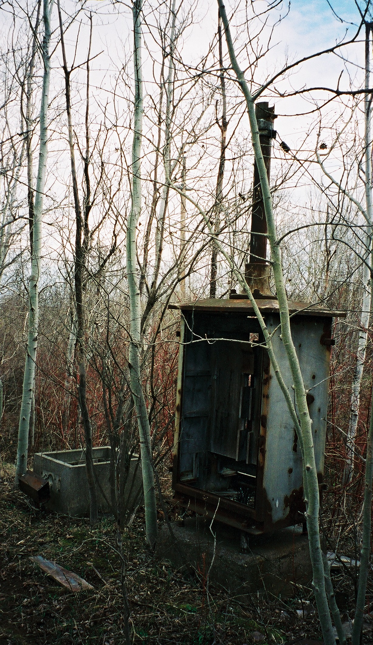
Electrical Connection
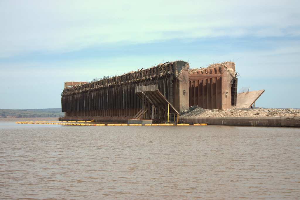
Ashland, WI ore dock
Front View
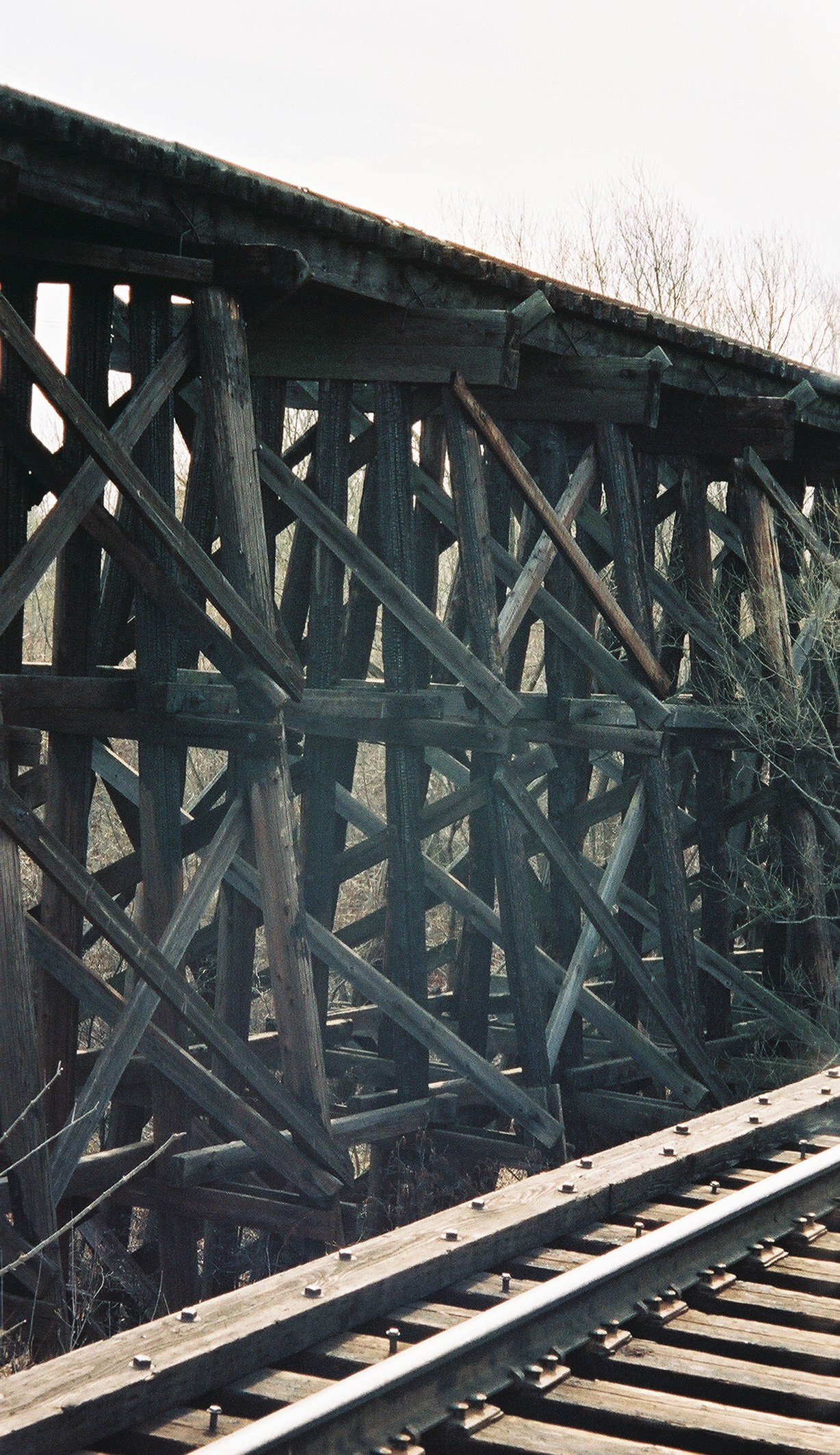
Oredock Trestle's Fire Marks
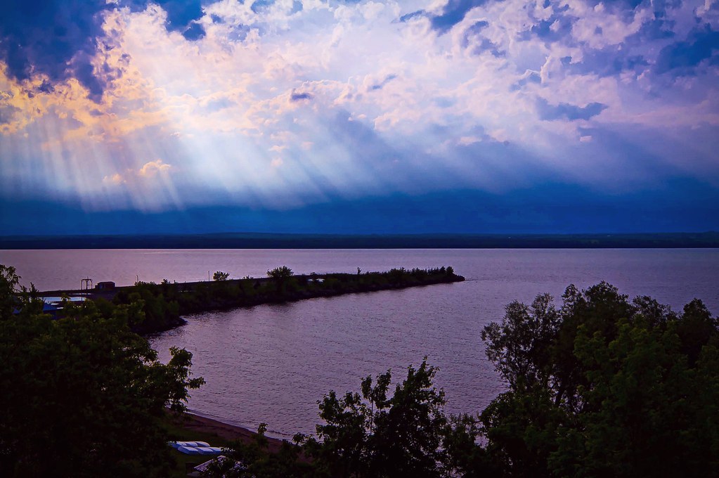
Superior Rayz

Sign, sign, everywhere a sign

Sign,sign, everywhere a sign #2
The Approach to the oredock
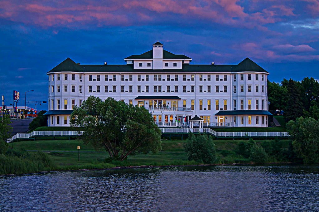
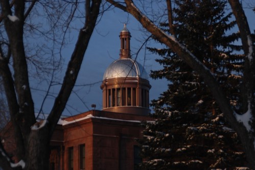
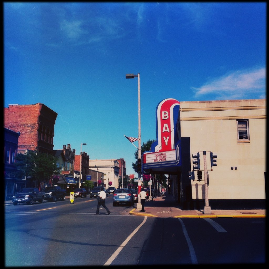
Hotel Chequamegon

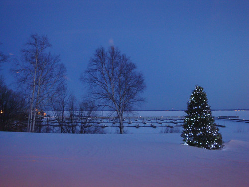
ashland, Bay View Wisconsin
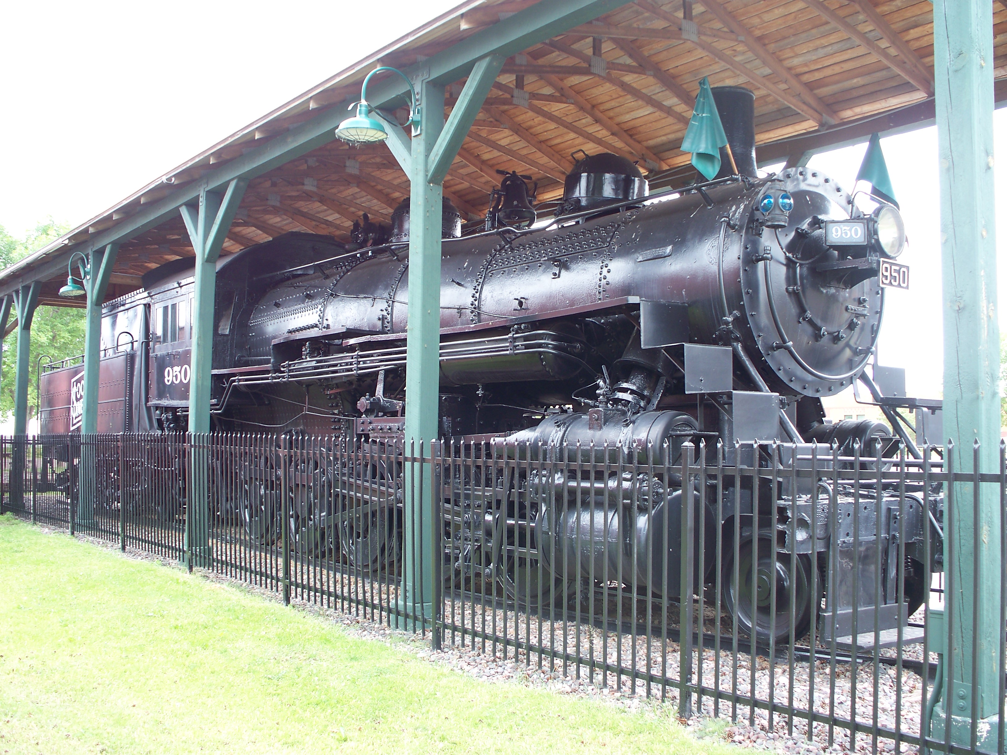
Soo Line Steam Engine #950 (3/4 View)
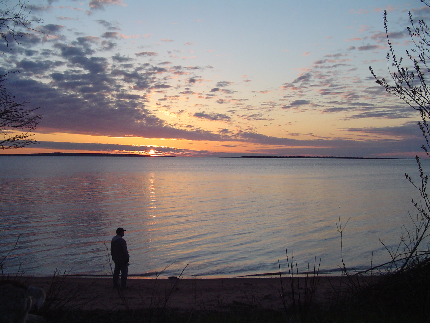
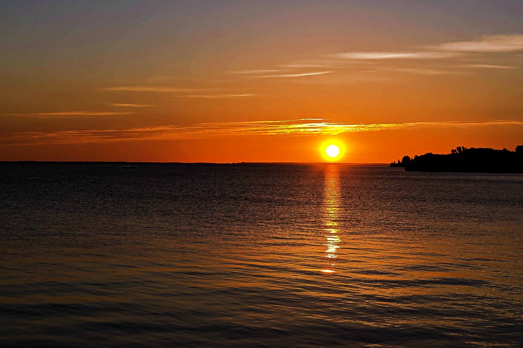
Superior Sunrise
2 of 3 RR connection
My window view at Steak Pit
Bay View Wisconsin
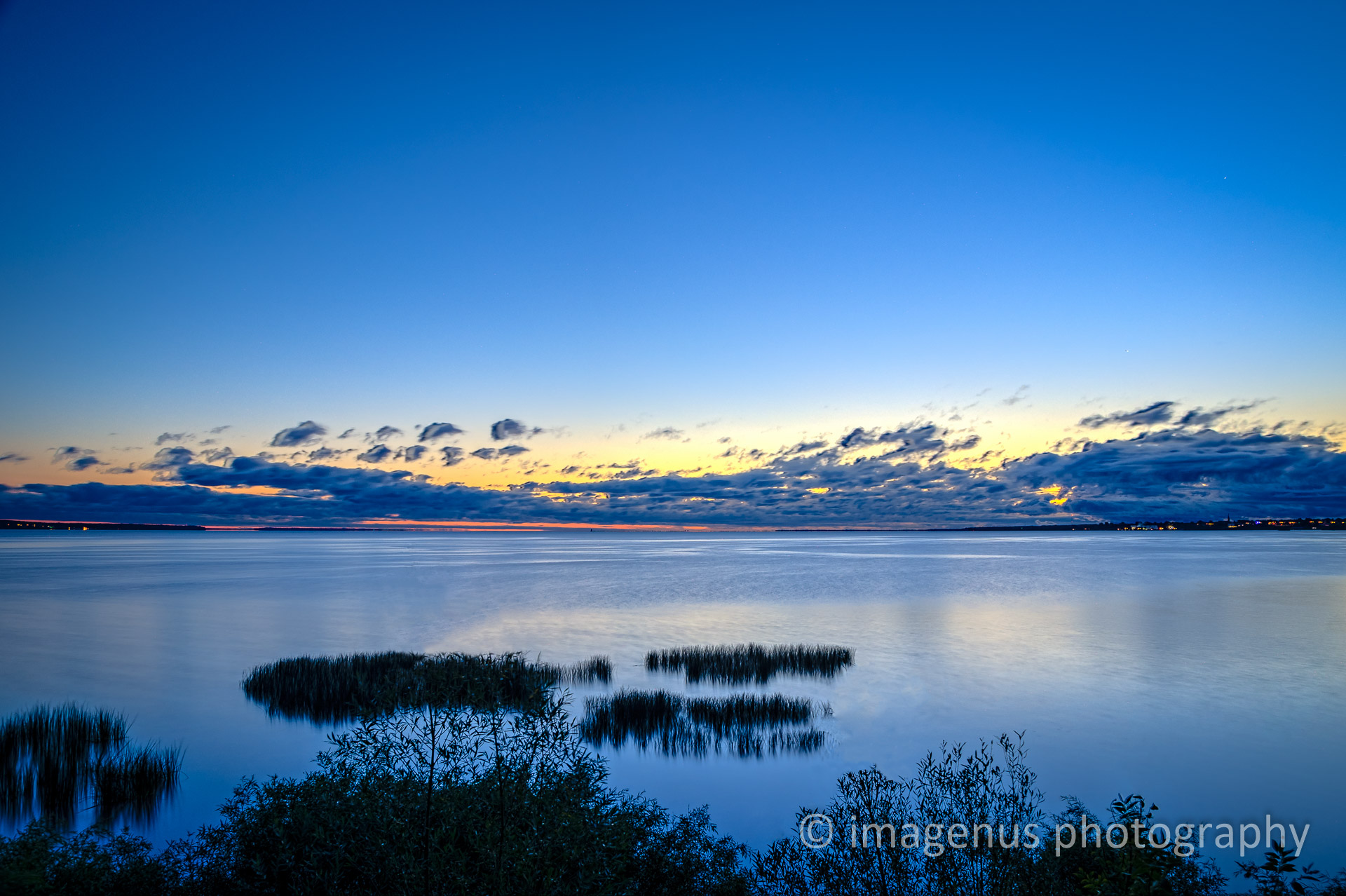
Superior Sunrise

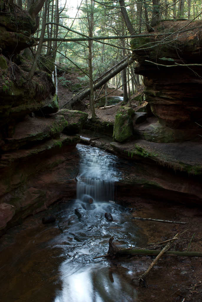
_MG_6820 - Waterfall in the Echo Dells.
Houghton Falls 1
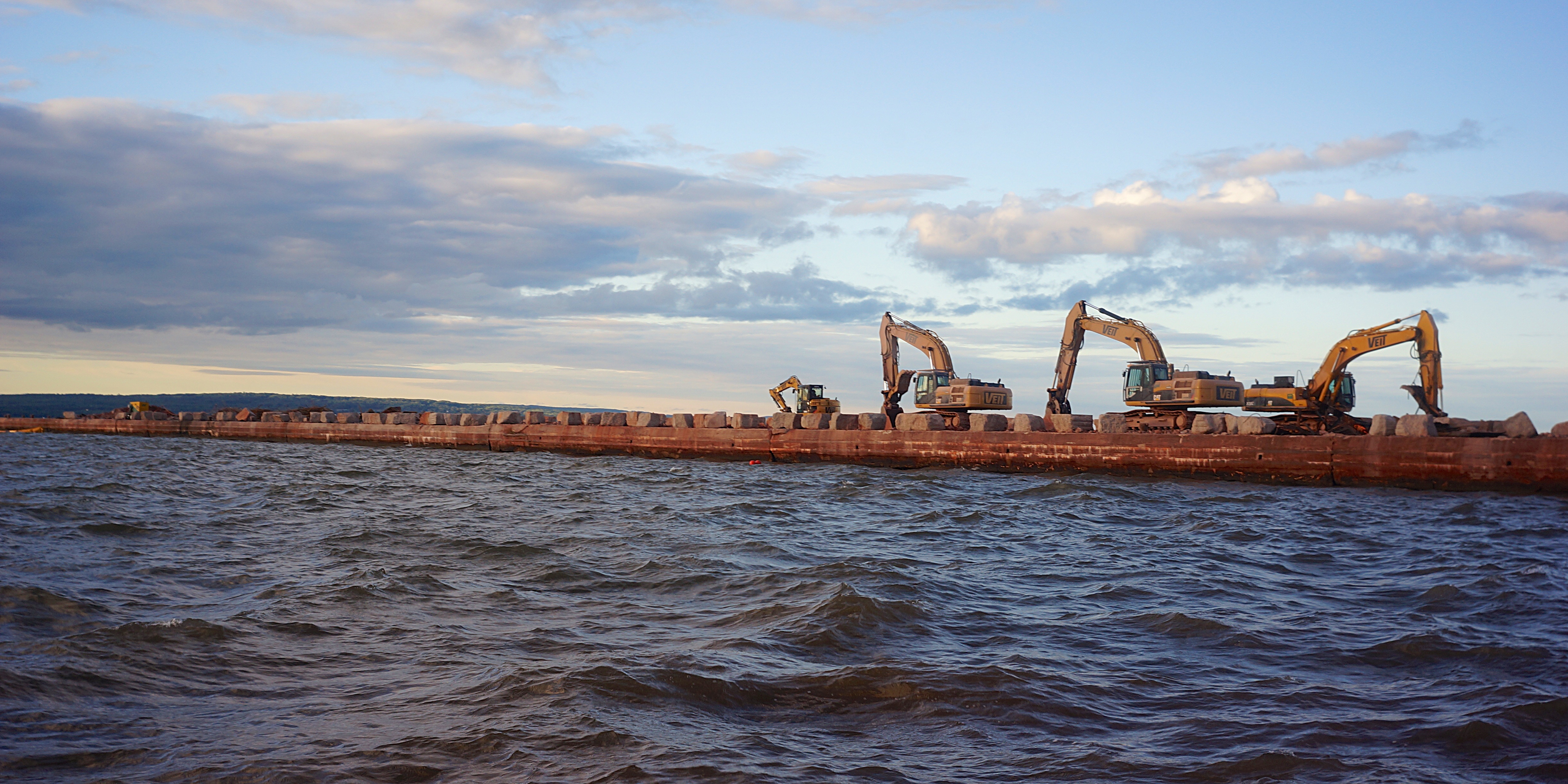
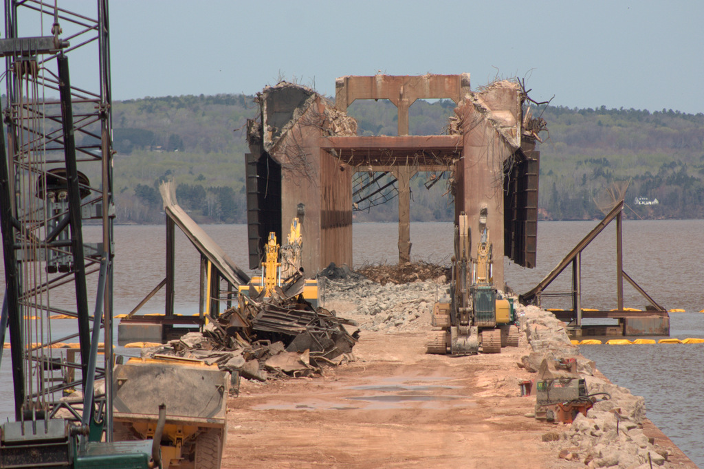
What was an ore dock
Superior Skies

Duet in the Dark

Barn on Redinger Road
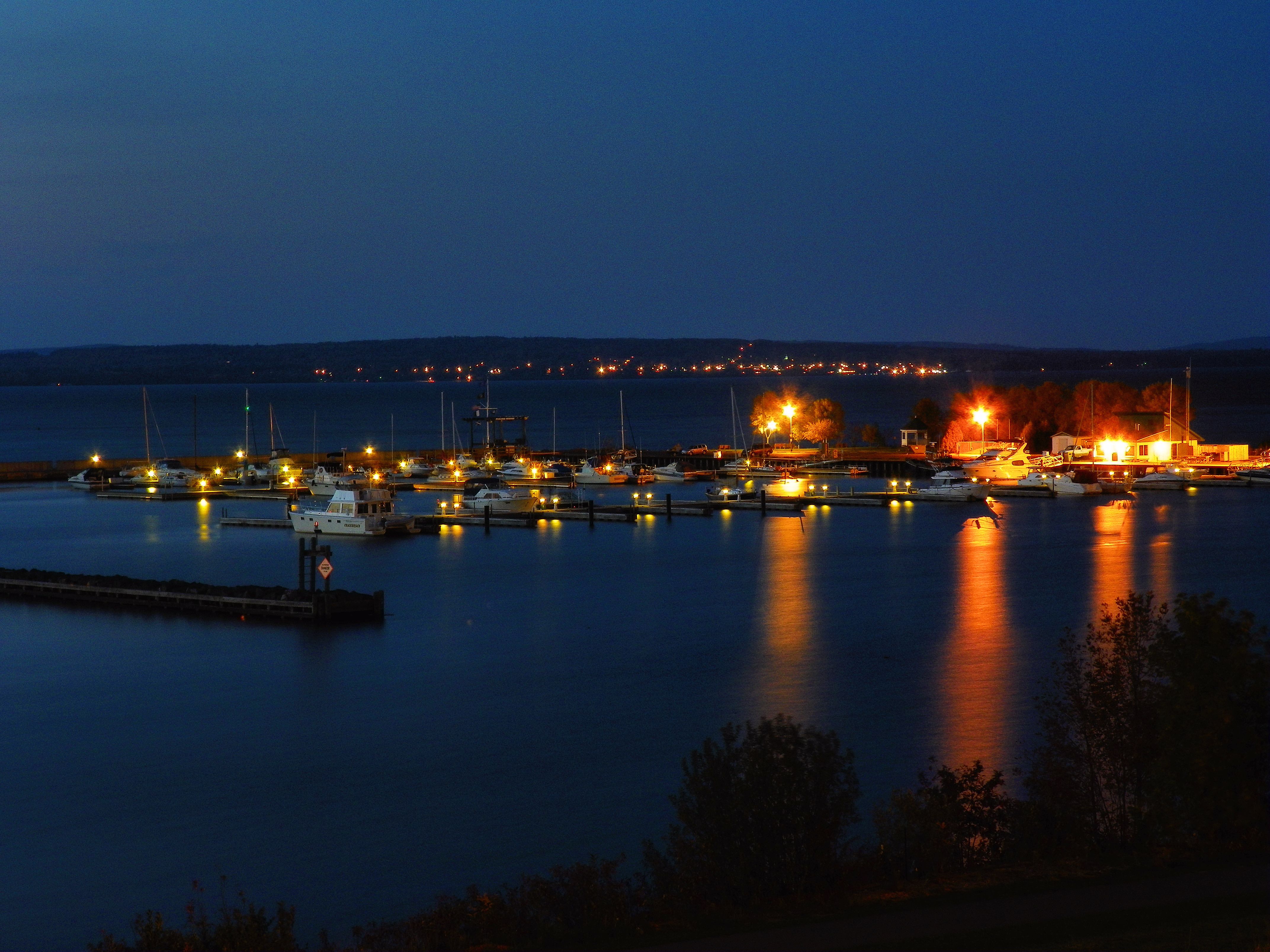
Ashland Marina

Butterfly Kisses
Chequamegon Bay Sunrise
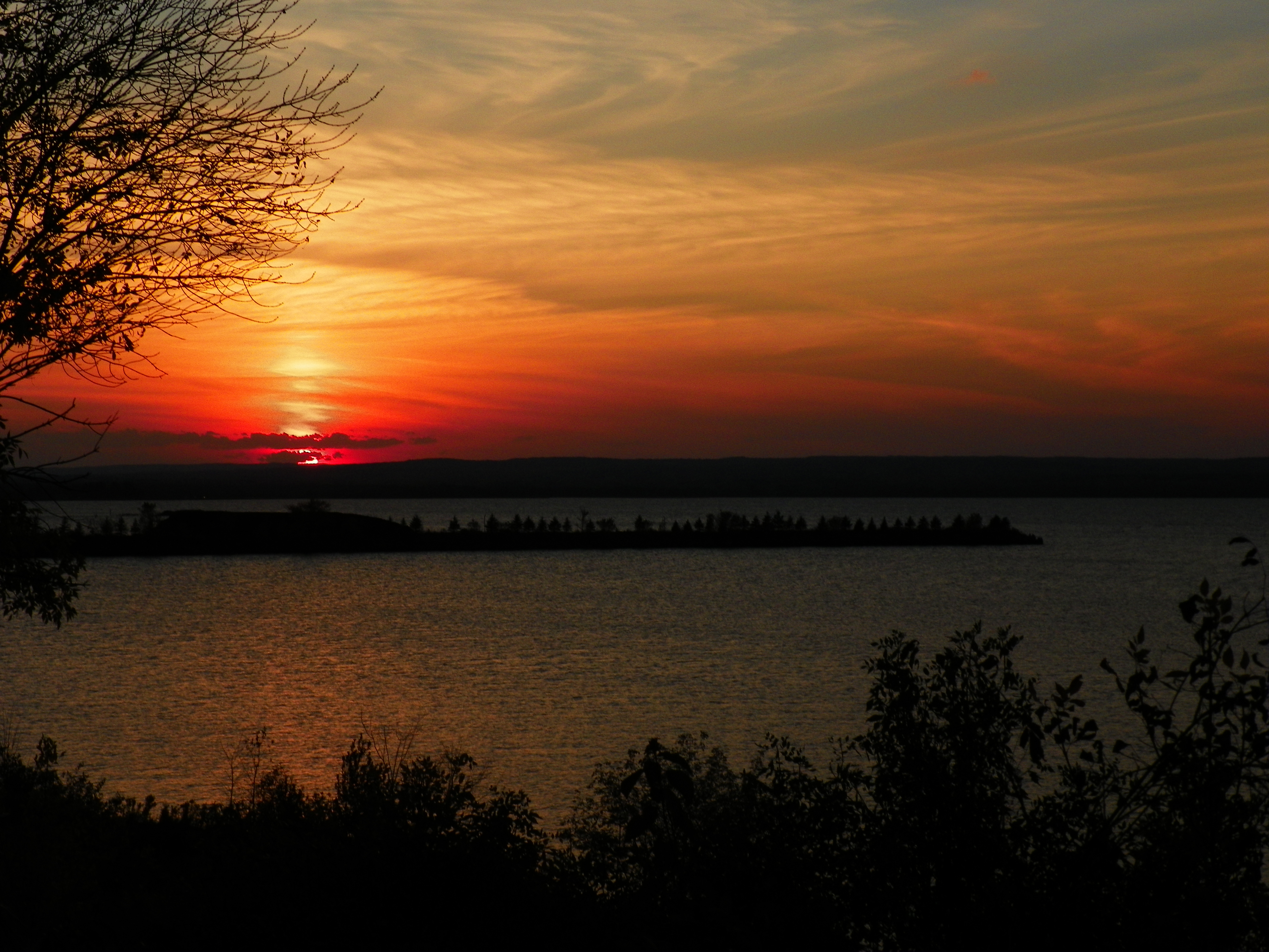
Superior Sunset

Northern Great Lakes Visitor Center
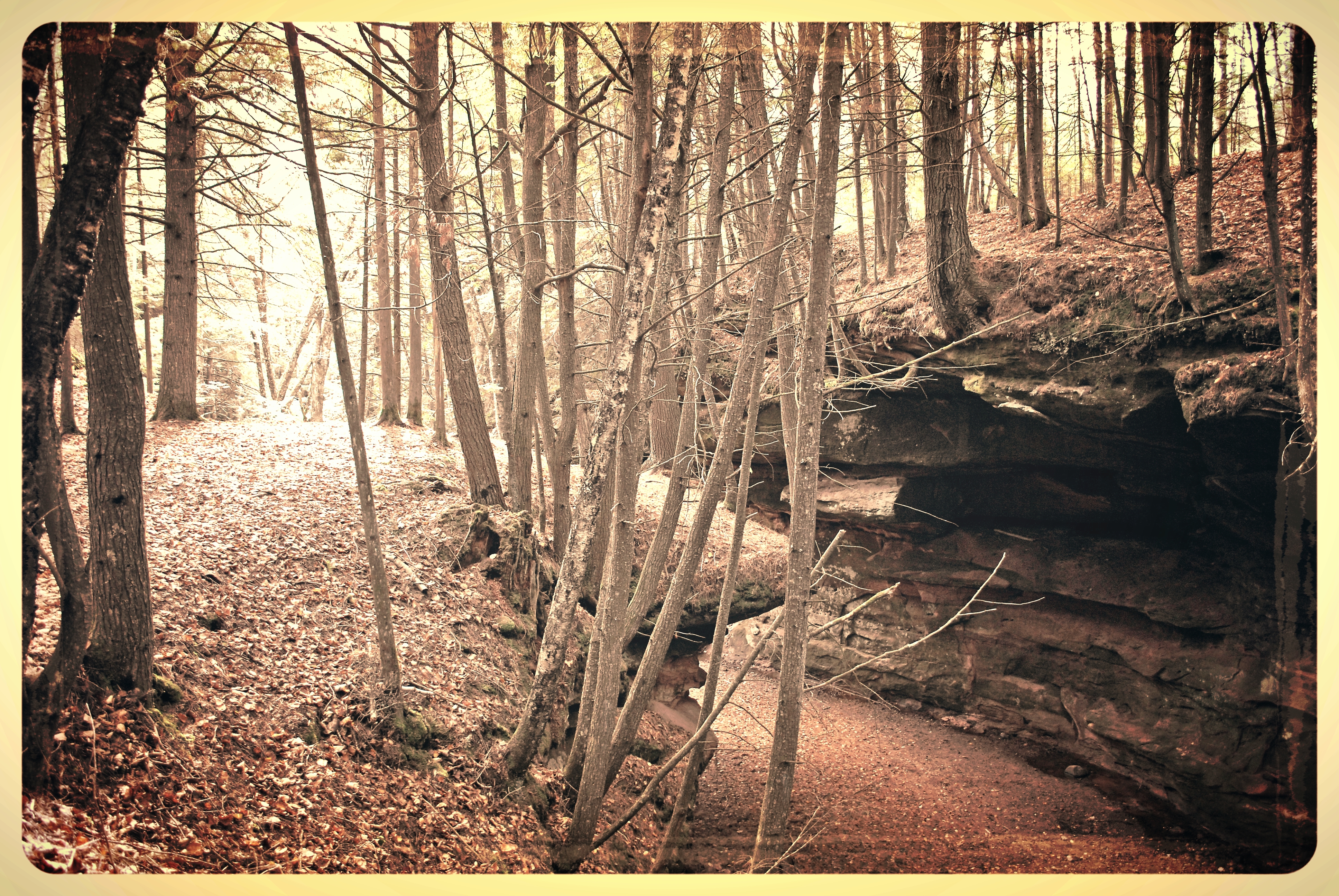
Houghton Creek Gorge
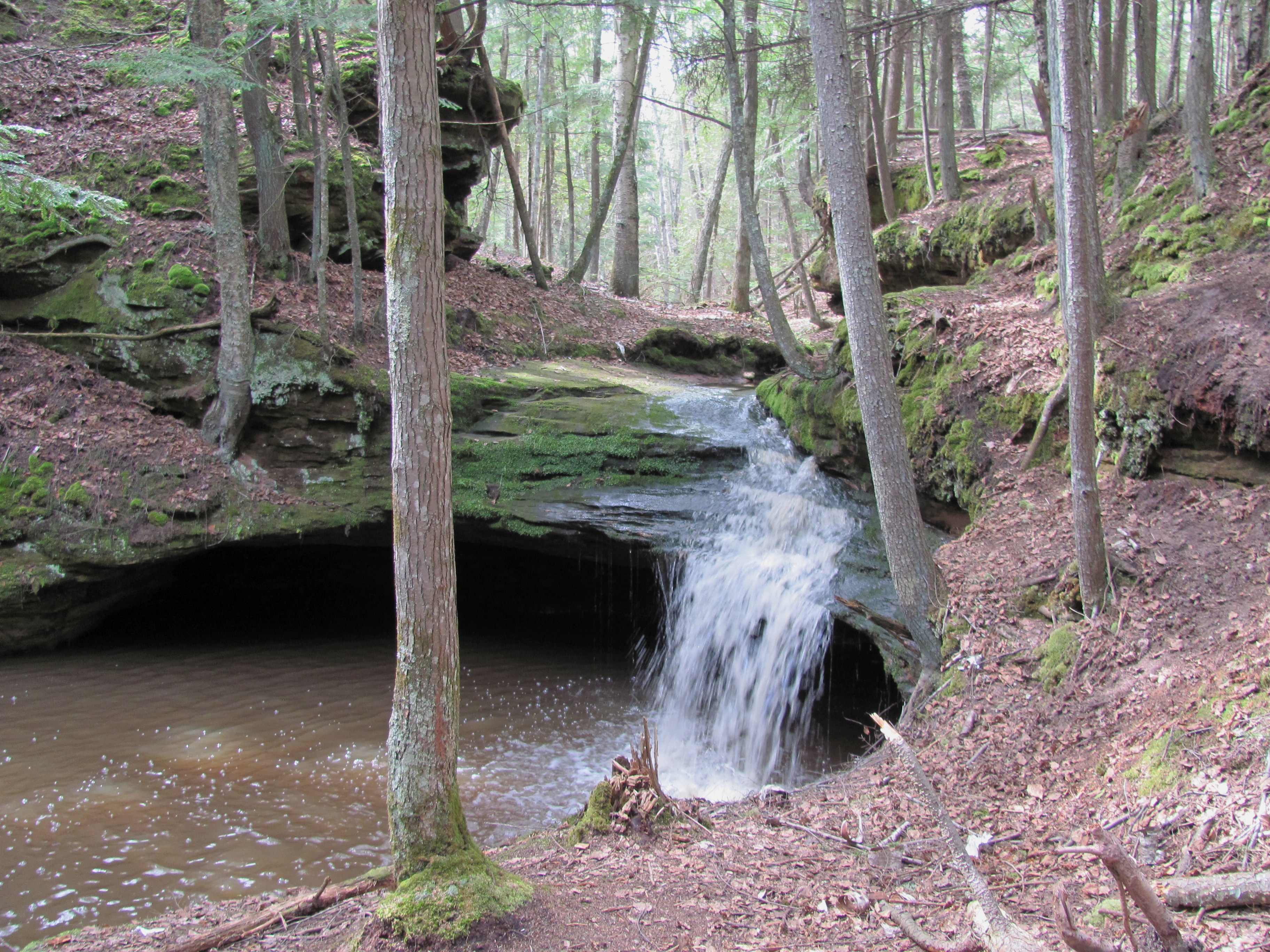
Echo Dells - Into the Pool
JPO_20180120_0050.jpg

_MG_8156 - Sunrise. ©Jerry Mercier
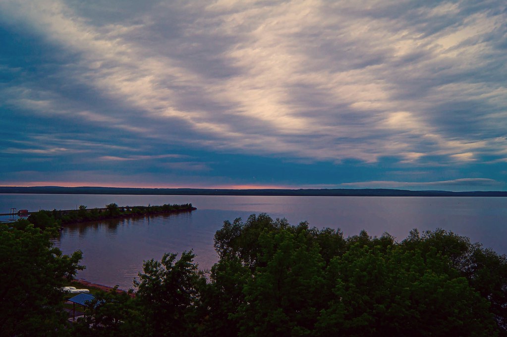
Chequamegon Bay
Sunset on campus

Lake Superior

This morning. Roughly a dozen diehards out ice fishing on the bay.
Topographic Map of Chapple Ave, Ashland, WI, USA
Find elevation by address:

Places near Chapple Ave, Ashland, WI, USA:
715 Chapple Ave
705 Main St W
Ashland
Ellis Ave N, Ashland, WI, USA
122 14th Ave W
Abc Raceway
2347 Lake Shore Dr E
Washburn
Washington Ave, Washburn, WI, USA
209 Fortier Rd
White River
County Hwy E, Ashland, WI, USA
Dorothy Rd, Marengo, WI, USA
27545 S Maple Hill Rd
Marengo
Moquah Ski Hill Road
Capser Rd, La Pointe, WI, USA
State Hwy 13, Bayfield, WI, USA
La Pointe
34271 Co Hwy J
Recent Searches:
- Elevation of Jalan Senandin, Lutong, Miri, Sarawak, Malaysia
- Elevation of Bilohirs'k
- Elevation of 30 Oak Lawn Dr, Barkhamsted, CT, USA
- Elevation of Luther Road, Luther Rd, Auburn, CA, USA
- Elevation of Unnamed Road, Respublika Severnaya Osetiya — Alaniya, Russia
- Elevation of Verkhny Fiagdon, North Ossetia–Alania Republic, Russia
- Elevation of F. Viola Hiway, San Rafael, Bulacan, Philippines
- Elevation of Herbage Dr, Gulfport, MS, USA
- Elevation of Lilac Cir, Haldimand, ON N3W 2G9, Canada
- Elevation of Harrod Branch Road, Harrod Branch Rd, Kentucky, USA