Elevation of Deer Springs Rd, Manton, CA, USA
Location: United States > California > Tehama County > Manton >
Longitude: -121.84963
Latitude: 40.413063
Elevation: 659m / 2162feet
Barometric Pressure: 94KPa
Elevation Map:
Satellite Map:
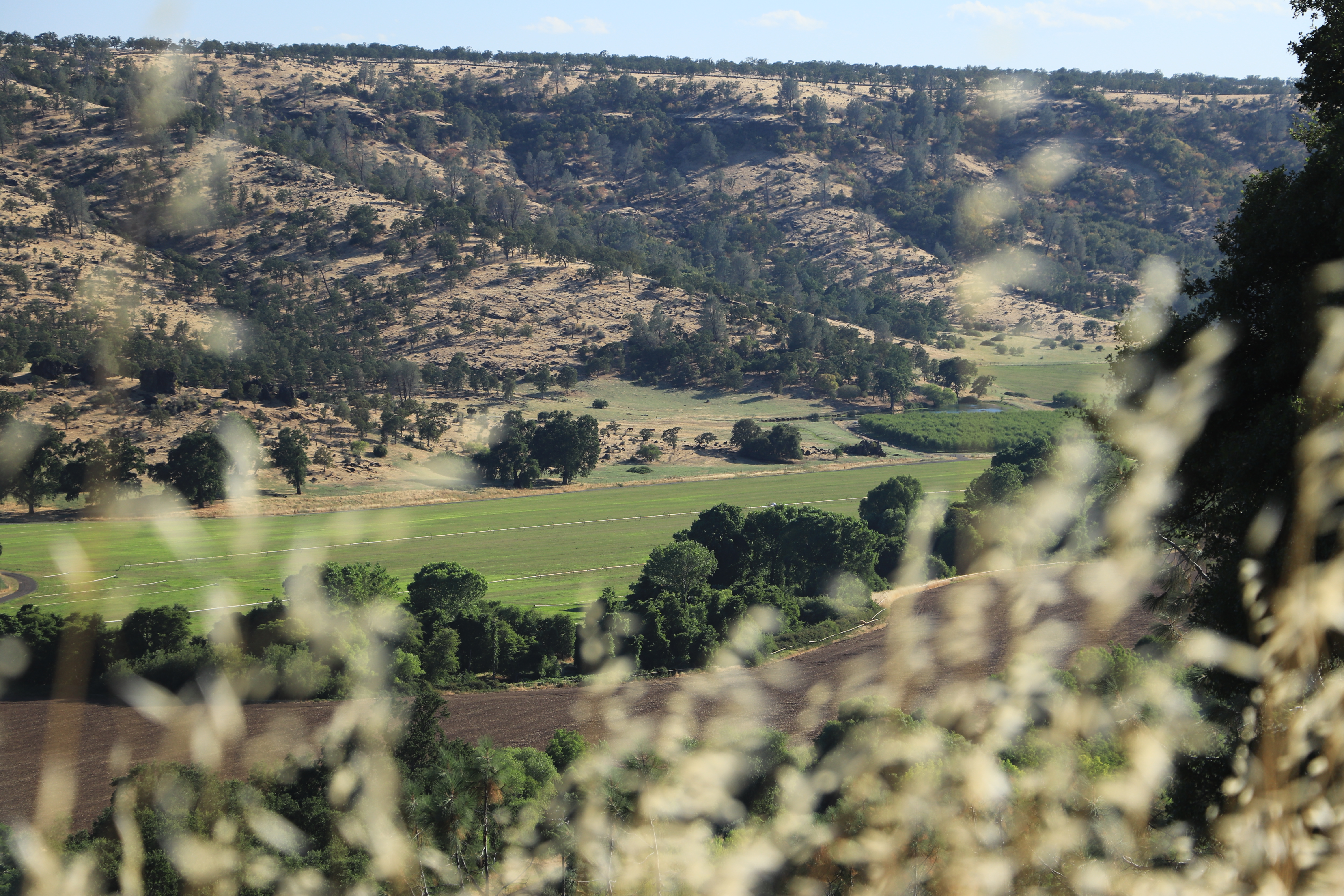
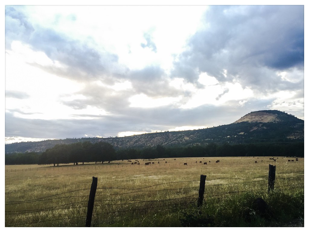
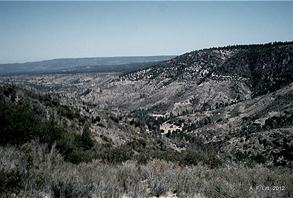
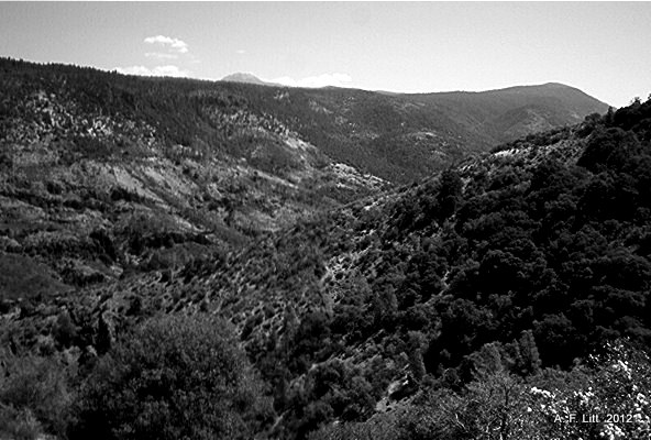
Related Photos:

Roberts_12 Fountain
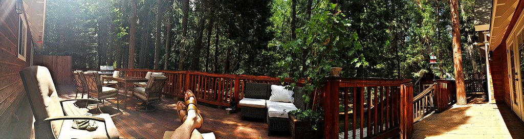
Panoramic view from Larissa's deck
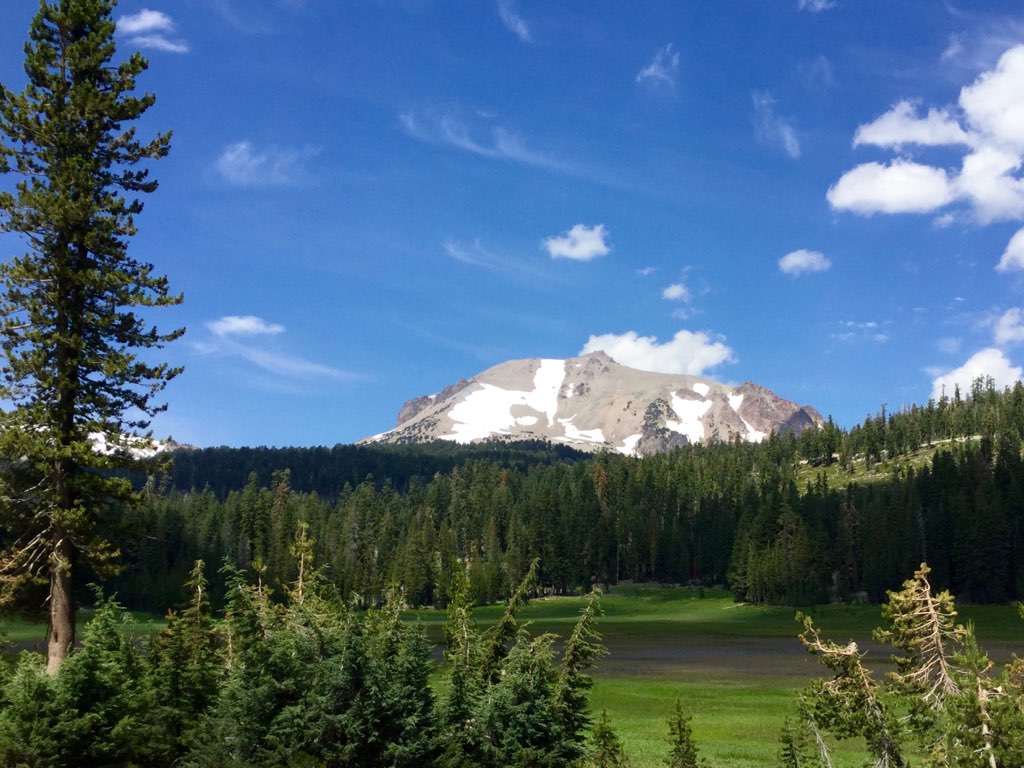
Roberts_80 Lassen Peak

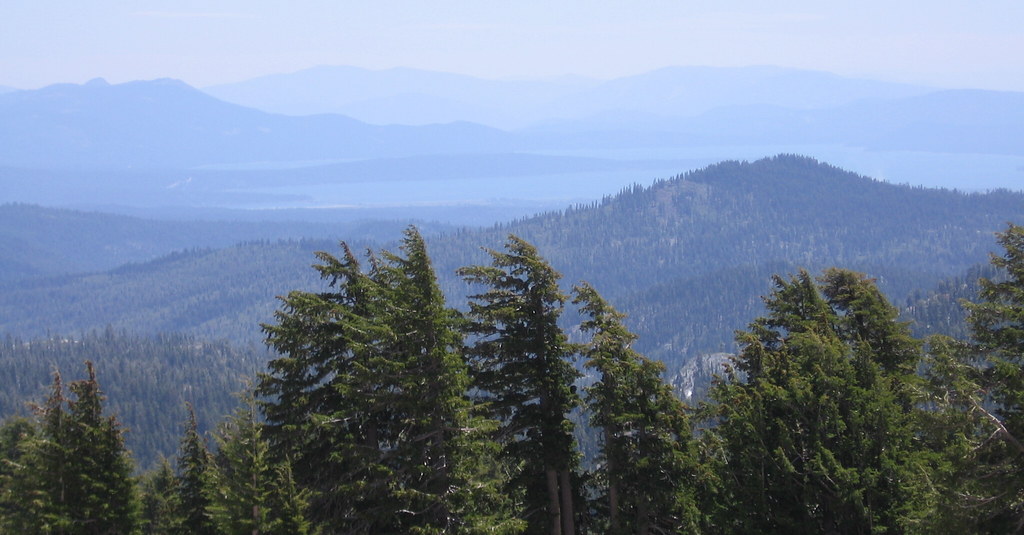
Roberts_75 Summit Lake

Lassen Volcanic NP

around chester

around chester 1

L1020042.NEF

Mylitta Crescent

Mylitta Crescent
A closer look at the Wildfire

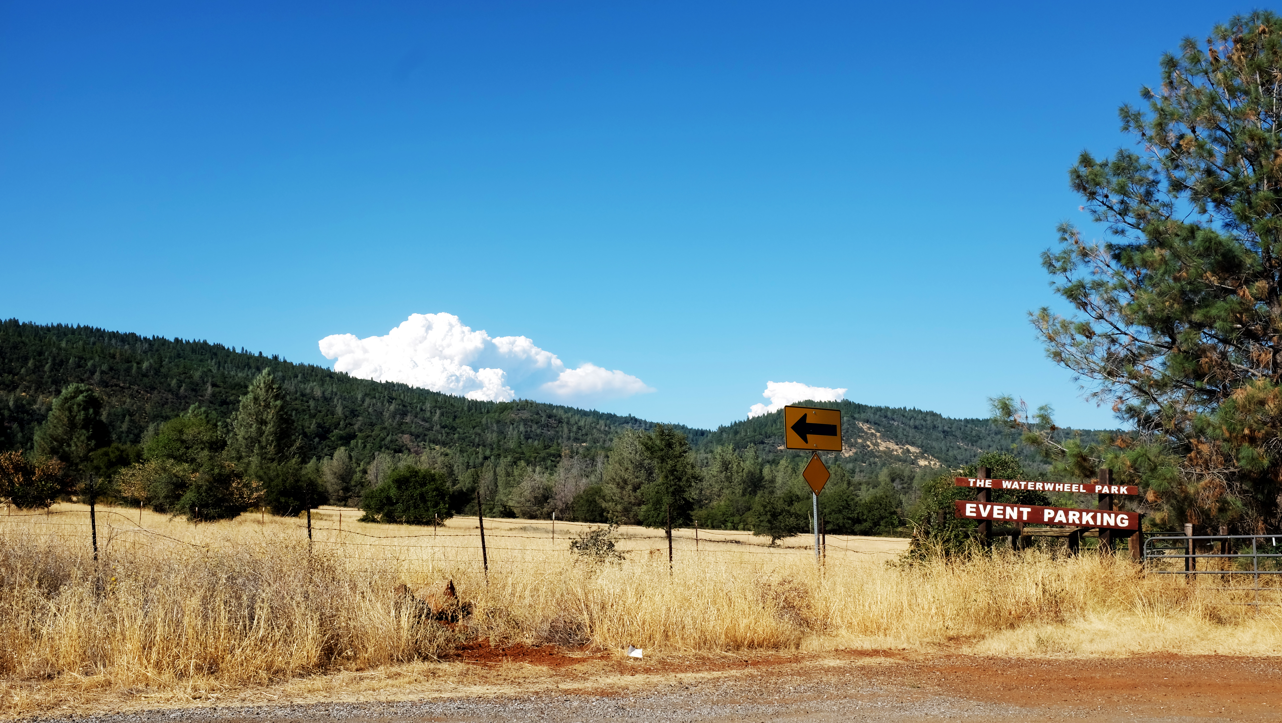
Lassen County Exploring

Mylitta Cresent
Lassen Volcanic National Park
20180628-026
Lassen County Exploring
7-28-2004 006
7-28-2004 005

Dun Skipper

Western Tiger Swallotail

Woodland Skipper

IMG_2702.jpg
IMG_2697.jpg
Topographic Map of Deer Springs Rd, Manton, CA, USA
Find elevation by address:

Places near Deer Springs Rd, Manton, CA, USA:
Deer Springs Road
21660 Manton School Rd
Forward Rd, Manton, CA, USA
Manton
32249 Rock Creek Rd
5397 Ole Ave
5512 Woodcutter's Way
5512 Woodcutter's Way
5512 Woodcutter's Way
30770 Battle Creek Bottom Rd
6450 Wilson Hill Rd
Grace Lake
31159 Woodridge Dr
7355 Squaw Springs Rd
Shingletown
Shingletown Store Inc
7546 Creekside Mobile Cir
30892 Dandelion Ln
Ruth Lane
7611 Pegnan Rd
Recent Searches:
- Elevation of Dog Leg Dr, Minden, NV, USA
- Elevation of Dog Leg Dr, Minden, NV, USA
- Elevation of Kambingan Sa Pansol Atbp., Purok 7 Pansol, Candaba, Pampanga, Philippines
- Elevation of Pinewood Dr, New Bern, NC, USA
- Elevation of Mountain View, CA, USA
- Elevation of Foligno, Province of Perugia, Italy
- Elevation of Blauwestad, Netherlands
- Elevation of Bella Terra Blvd, Estero, FL, USA
- Elevation of Estates Loop, Priest River, ID, USA
- Elevation of Woodland Oak Pl, Thousand Oaks, CA, USA