Elevation of Squaw Springs Rd, Shingletown, CA, USA
Location: United States > California > Shasta County > Shingletown >
Longitude: -121.84308
Latitude: 40.501132
Elevation: 1110m / 3642feet
Barometric Pressure: 89KPa
Elevation Map:
Satellite Map:
Related Photos:
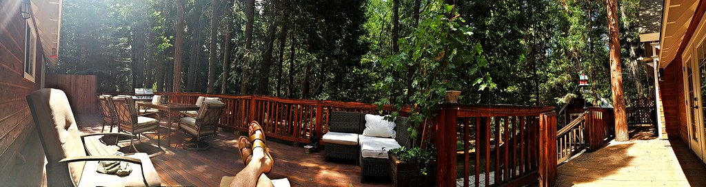
Panoramic view from Larissa's deck

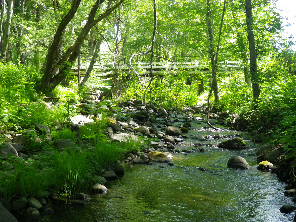
A forest path in Redwoods State Park, California.
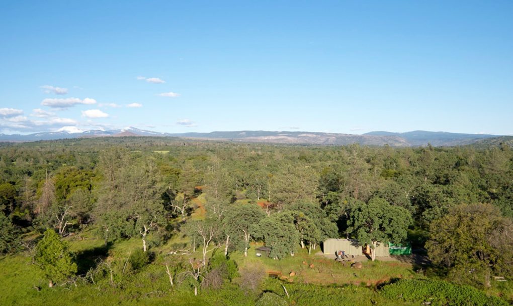
Off-grid-shipping-container-cabin-01

A forest path in Redwoods State Park, California.

Lassen County Exploring
Lassen County Exploring

_8210032.NEF

Mylitta Crescent

Mylitta Crescent
A closer look at the Wildfire

Mylitta Cresent
Ott-Stahl

Mylitta Crescent

Dun Skipper

Exploring near Lassen National Park

Sandhill Skipper

Boisduval's Blue

Western Tiger Swallotail

Sandhill Skipper

Woodland Skipper

Exploring near Lassen National Park

Variable Checkerspot (Euphydryas chalcedona)
Topographic Map of Squaw Springs Rd, Shingletown, CA, USA
Find elevation by address:

Places near Squaw Springs Rd, Shingletown, CA, USA:
7546 Creekside Mobile Cir
32669 Emigrant Trail
7758 Hidden Meadows Rd
32632 Emigrant Trail
7873 St Eustace Dr
7873 St Eustace Dr
32915 Emigrant Trail
7611 Pegnan Rd
Sites Road
Grace Lake
Linda Road
7640 Arbor Ln
Plateau Pines Road
Oren Way
6450 Wilson Hill Rd
Shingletown Store Inc
Shingletown
5512 Woodcutter's Way
5512 Woodcutter's Way
8200 Ritts Mill Rd
Recent Searches:
- Elevation of Warwick, RI, USA
- Elevation of Fern Rd, Whitmore, CA, USA
- Elevation of 62 Abbey St, Marshfield, MA, USA
- Elevation of Fernwood, Bradenton, FL, USA
- Elevation of Felindre, Swansea SA5 7LU, UK
- Elevation of Leyte Industrial Development Estate, Isabel, Leyte, Philippines
- Elevation of W Granada St, Tampa, FL, USA
- Elevation of Pykes Down, Ivybridge PL21 0BY, UK
- Elevation of Jalan Senandin, Lutong, Miri, Sarawak, Malaysia
- Elevation of Bilohirs'k