Elevation of Forward Rd, Manton, CA, USA
Location: United States > California > Tehama County > Manton >
Longitude: -121.86701
Latitude: 40.4324766
Elevation: 633m / 2077feet
Barometric Pressure: 94KPa
Elevation Map:
Satellite Map:
Related Photos:
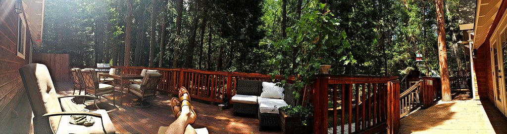
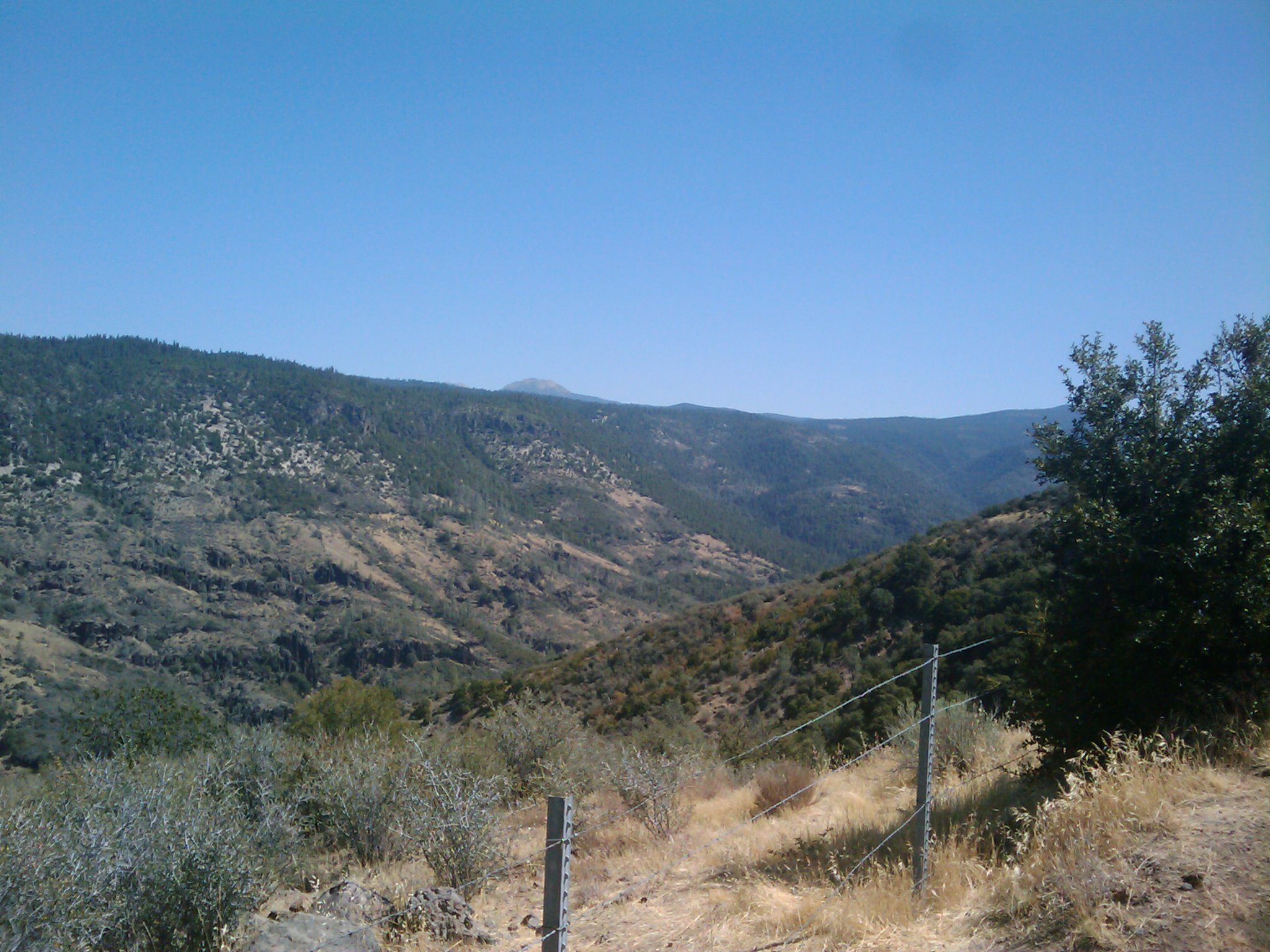
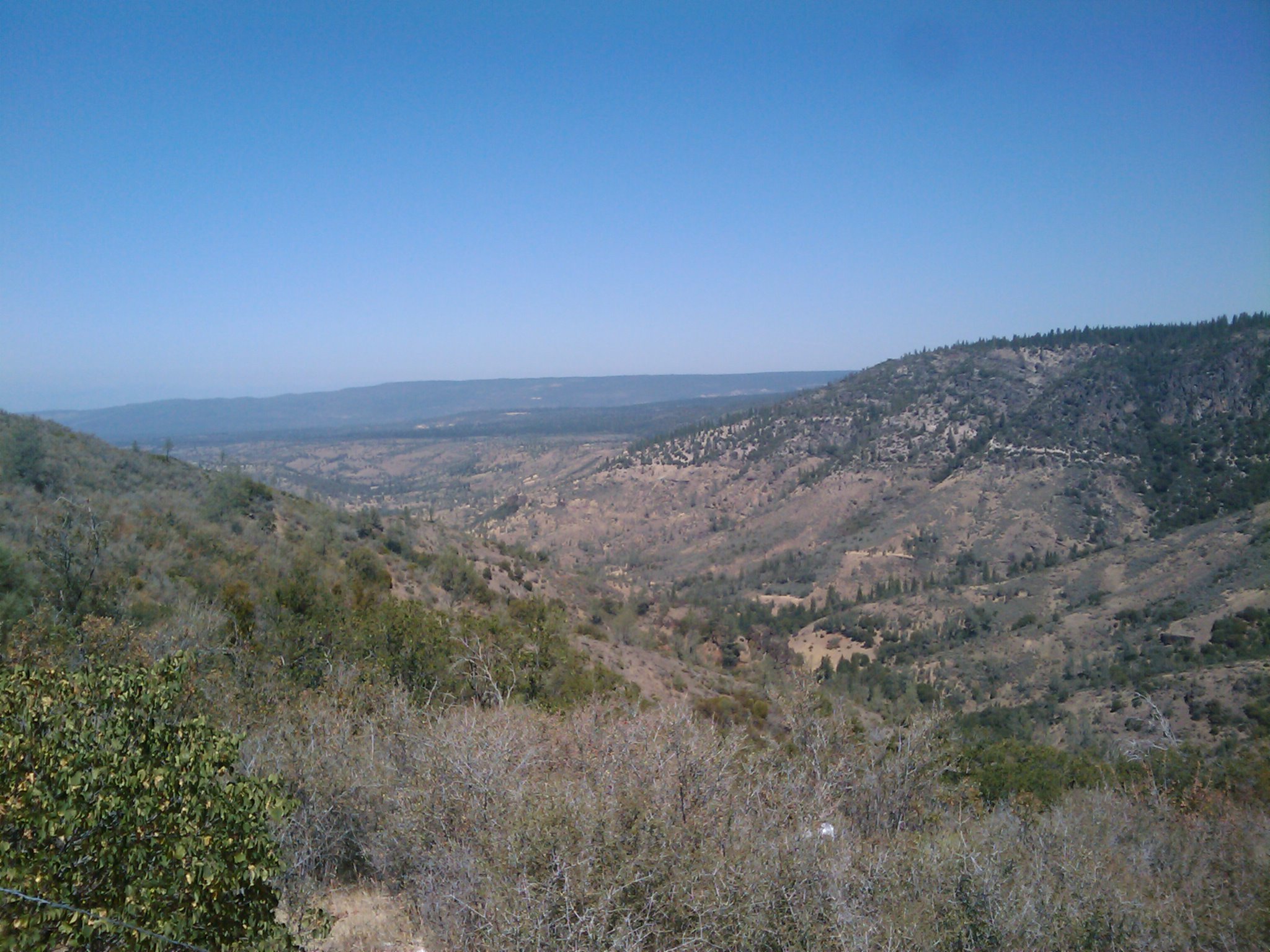
Panoramic view from Larissa's deck
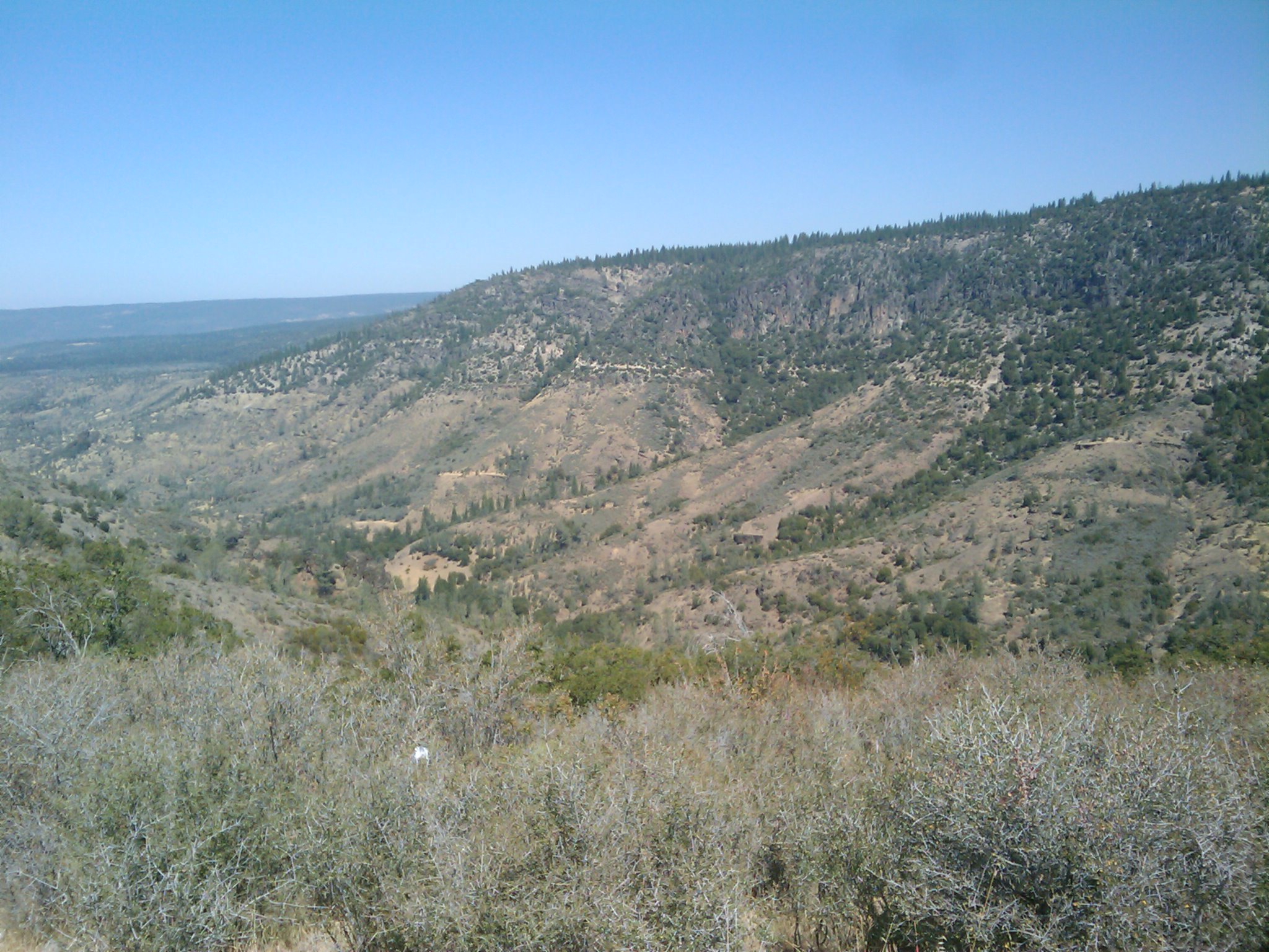
7-28-2004 005

Going On a Lion Hunt
7-28-2004 006

IMG_2702.jpg
2009-08-25 12.03.10
2009-08-25 12.05.43
2009-08-25 12.03.26

Lassen Volcanic NP
2009-08-25 12.03.40
2009-08-25 12.04.25
2009-08-25 12.04.13

Lassen Volcanic NP

Lassen Volcanic NP
2009-08-25 12.04.42

Mylitta Crescent

Mylitta Crescent

Mylitta Crescent
A closer look at the Wildfire

Mylitta Cresent

Dun Skipper

Boiduval's Blue
Topographic Map of Forward Rd, Manton, CA, USA
Find elevation by address:

Places near Forward Rd, Manton, CA, USA:
Manton
5397 Ole Ave
32249 Rock Creek Rd
5512 Woodcutter's Way
5512 Woodcutter's Way
5512 Woodcutter's Way
30770 Battle Creek Bottom Rd
6450 Wilson Hill Rd
Grace Lake
31159 Woodridge Dr
Shingletown
Shingletown Store Inc
30892 Dandelion Ln
7355 Squaw Springs Rd
7174 Dogwood Cir
7546 Creekside Mobile Cir
30763 Thumper Dr
7493 Shasta Forest Dr
7493 Shasta Forest Dr
7374 Shasta Forest Dr
Recent Searches:
- Elevation of Beall Road, Beall Rd, Florida, USA
- Elevation of Leguwa, Nepal
- Elevation of County Rd, Enterprise, AL, USA
- Elevation of Kolchuginsky District, Vladimir Oblast, Russia
- Elevation of Shustino, Vladimir Oblast, Russia
- Elevation of Lampiasi St, Sarasota, FL, USA
- Elevation of Elwyn Dr, Roanoke Rapids, NC, USA
- Elevation of Congressional Dr, Stevensville, MD, USA
- Elevation of Bellview Rd, McLean, VA, USA
- Elevation of Stage Island Rd, Chatham, MA, USA