Elevation of Deep River, IA, USA
Location: United States > Iowa > Poweshiek County > Deep River >
Longitude: -92.374906
Latitude: 41.5802811
Elevation: 277m / 909feet
Barometric Pressure: 98KPa
Elevation Map:
Satellite Map:
Related Photos:

351: letting go
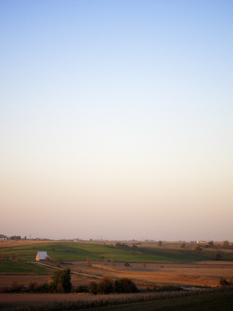
midwestern twilight
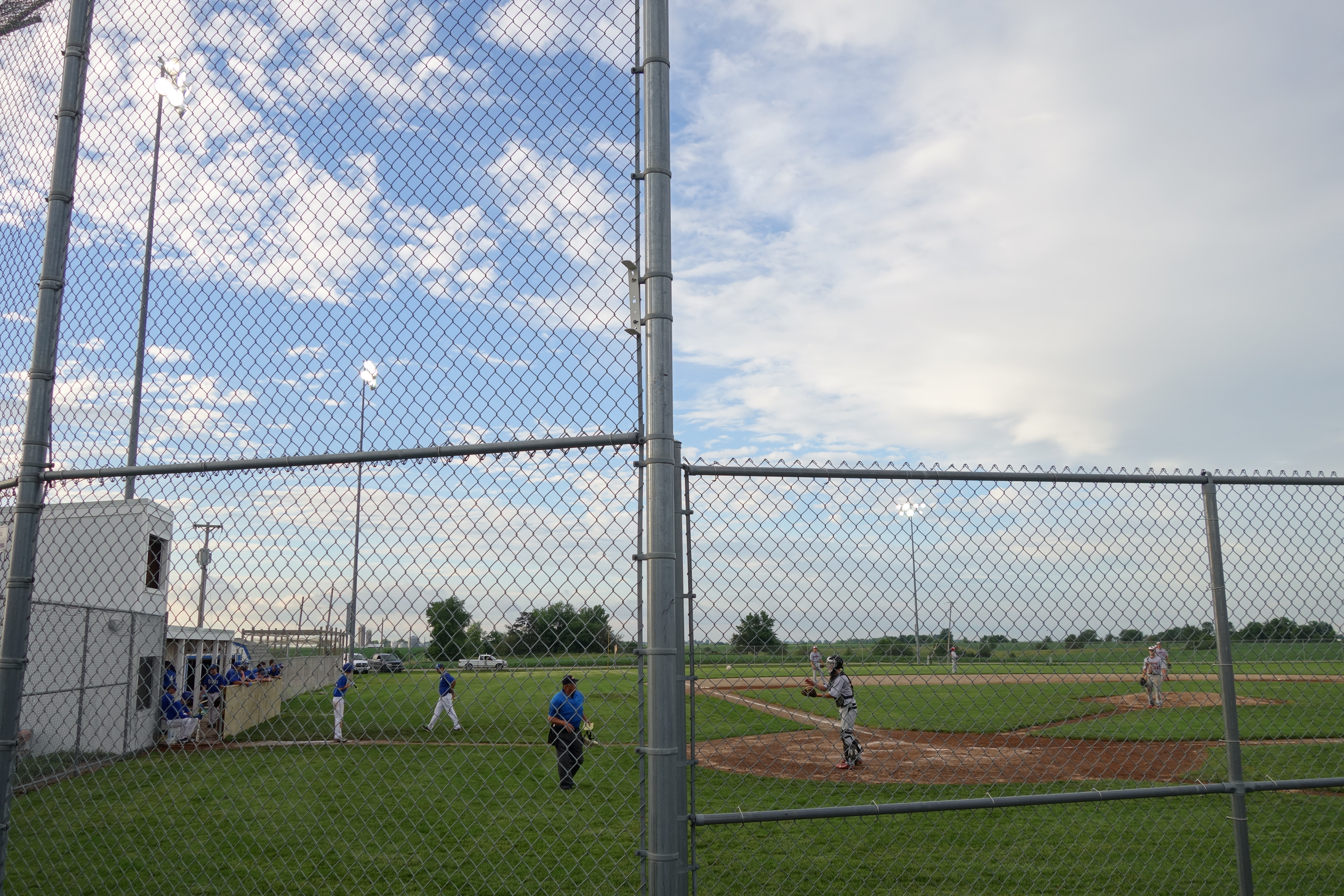
HLV at Montezuma Baseball Field 6-15-15 19
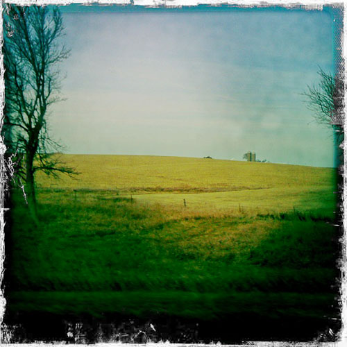
Road Trip - Iowa I-80
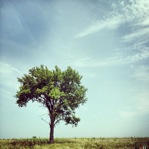
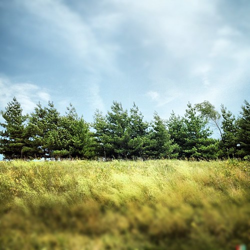
#tree #iowa #igdaily #instagood #instamood #instamatic #instagroove #photooftheday #bestoftheday #picoftheday #roadtrip #midwest #landscape
Midwest Textures #iowa #midwest #igdaily #instagood #instamood #instamatic #instagroove #photooftheday #bestoftheday #statigram #iphone #roadtrip
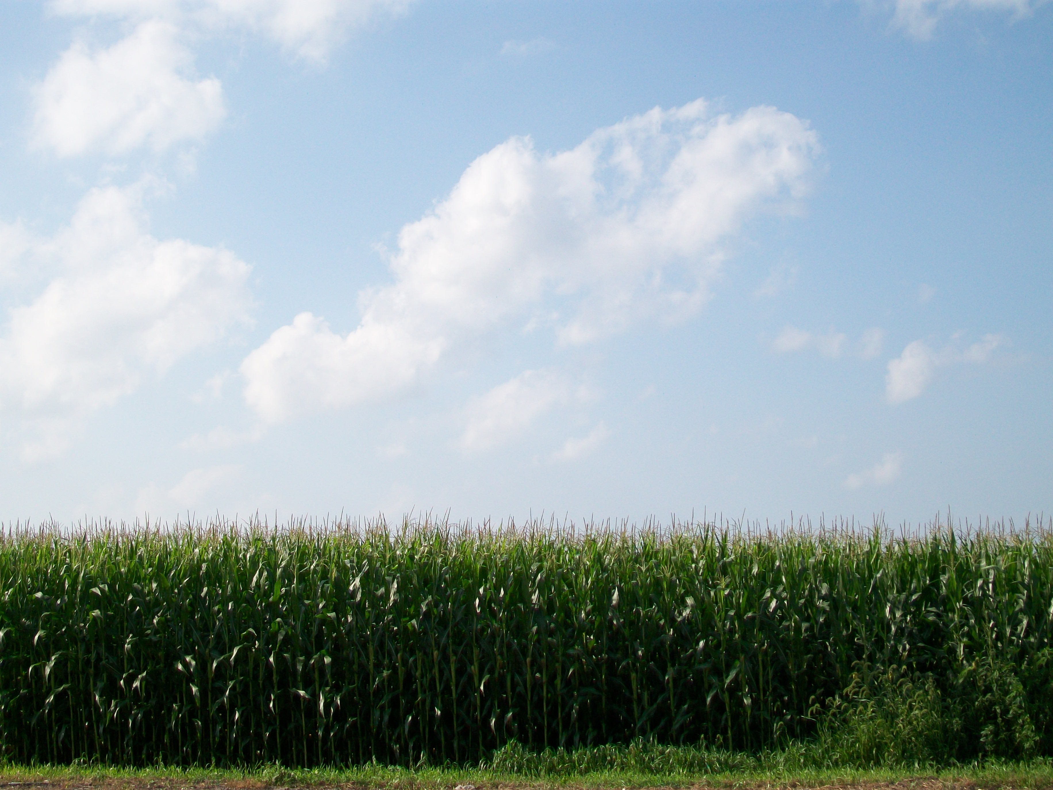
Cornfield by Carnforth Inn July2010
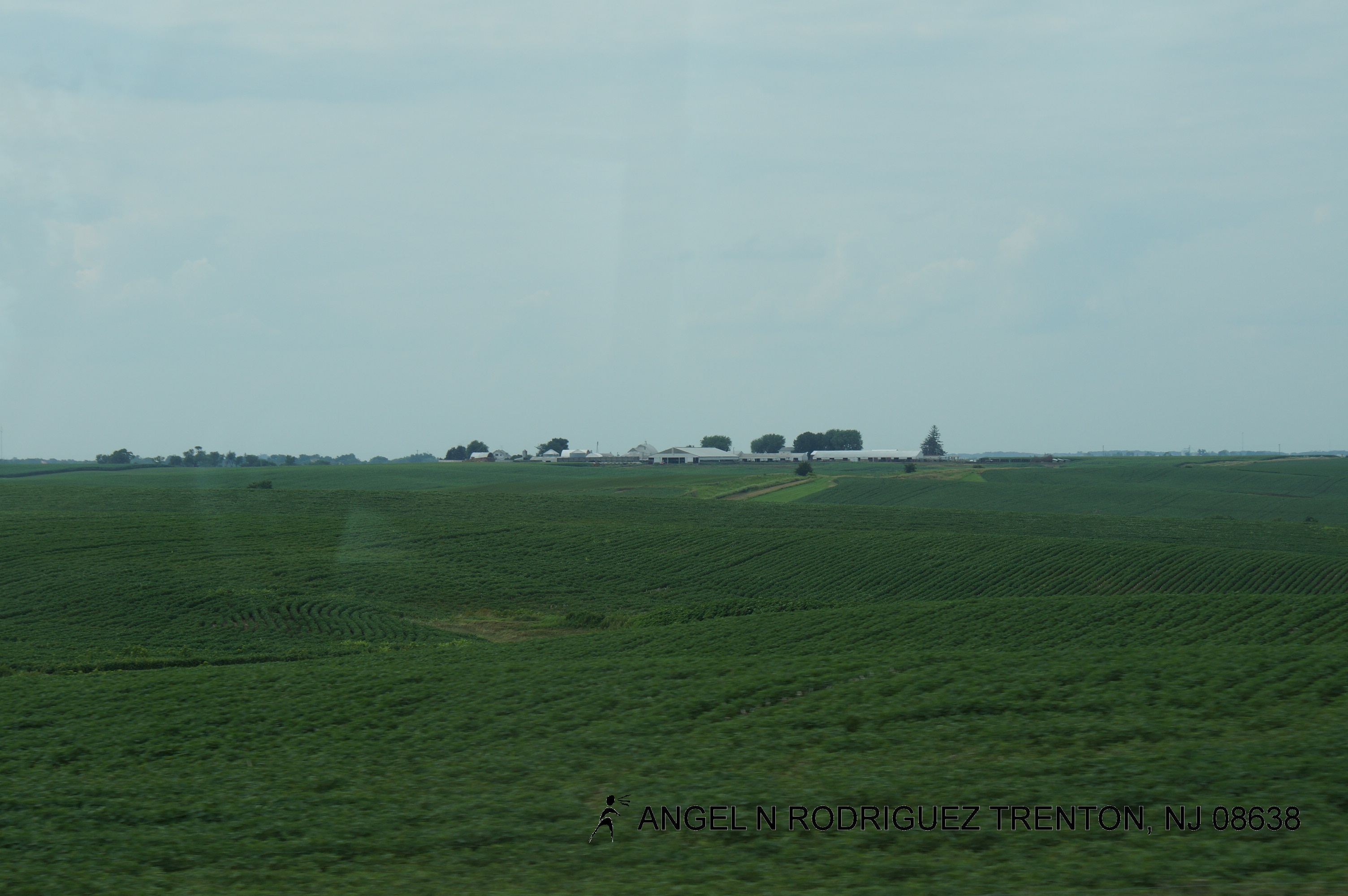
Roadtex pictures
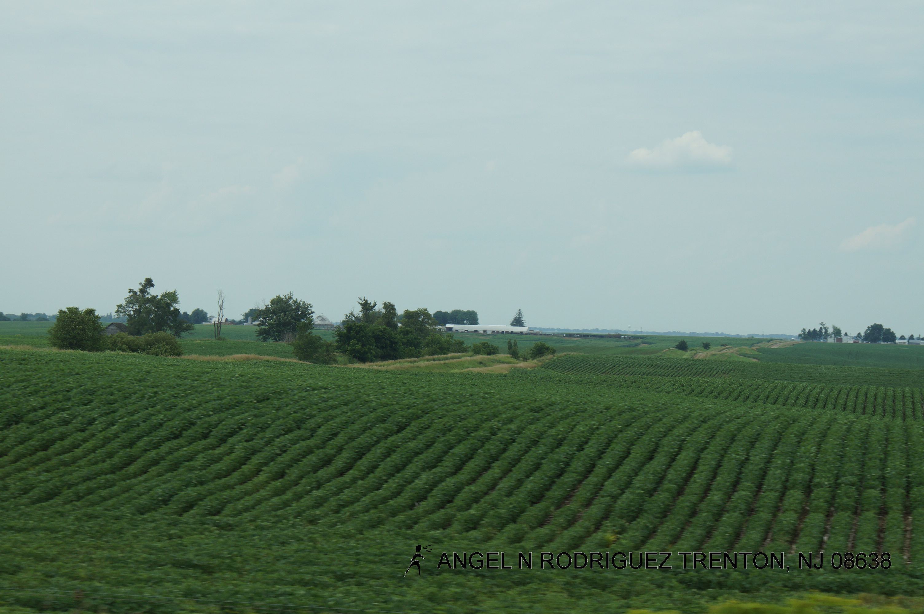
Roadtex pictures
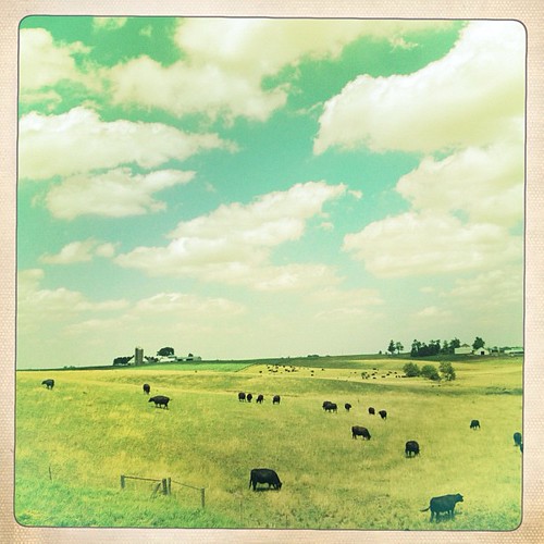
Cattle Life #iowa #farm #cow #landscape #igdaily #instapic #instagood #instamood #iphone #photooftheday #globalnomads
Topographic Map of Deep River, IA, USA
Find elevation by address:

Places in Deep River, IA, USA:
Places near Deep River, IA, USA:
Main St, Deep River, IA, USA
Deep River
Broadway St, Barnes City, IA, USA
Barnes City
Dayton
Pleasant Grove
N Front St, Montezuma, IA, USA
Adams
241 Jackson St
Brooklyn
Bear Creek
What Cheer
Poweshiek County
East Briney Street, What Cheer, IA, USA
th St, North English, IA, USA
S Irons St, Keswick, IA, USA
Keswick
Hartford
Washington
Pleasant
Recent Searches:
- Elevation of Leguwa, Nepal
- Elevation of County Rd, Enterprise, AL, USA
- Elevation of Kolchuginsky District, Vladimir Oblast, Russia
- Elevation of Shustino, Vladimir Oblast, Russia
- Elevation of Lampiasi St, Sarasota, FL, USA
- Elevation of Elwyn Dr, Roanoke Rapids, NC, USA
- Elevation of Congressional Dr, Stevensville, MD, USA
- Elevation of Bellview Rd, McLean, VA, USA
- Elevation of Stage Island Rd, Chatham, MA, USA
- Elevation of Shibuya Scramble Crossing, 21 Udagawacho, Shibuya City, Tokyo -, Japan