Elevation of Bear Creek, IA, USA
Location: United States > Iowa > Poweshiek County >
Longitude: -92.480198
Latitude: 41.7140655
Elevation: 261m / 856feet
Barometric Pressure: 98KPa
Elevation Map:
Satellite Map:
Related Photos:
Mile 189

Gettin those street views
HLV at Montezuma Baseball Field 6-15-15 19
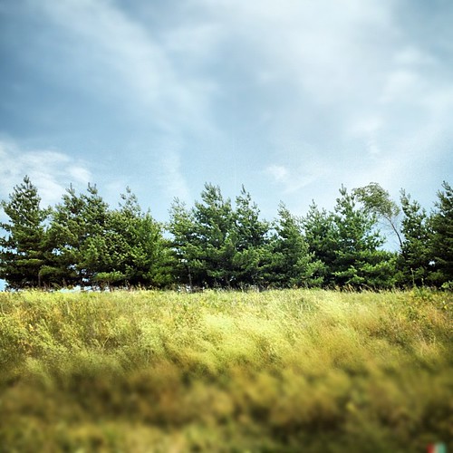
#tree #iowa #igdaily #instagood #instamood #instamatic #instagroove #photooftheday #bestoftheday #picoftheday #roadtrip #midwest #landscape
Cattle Life #iowa #farm #cow #landscape #igdaily #instapic #instagood #instamood #iphone #photooftheday #globalnomads
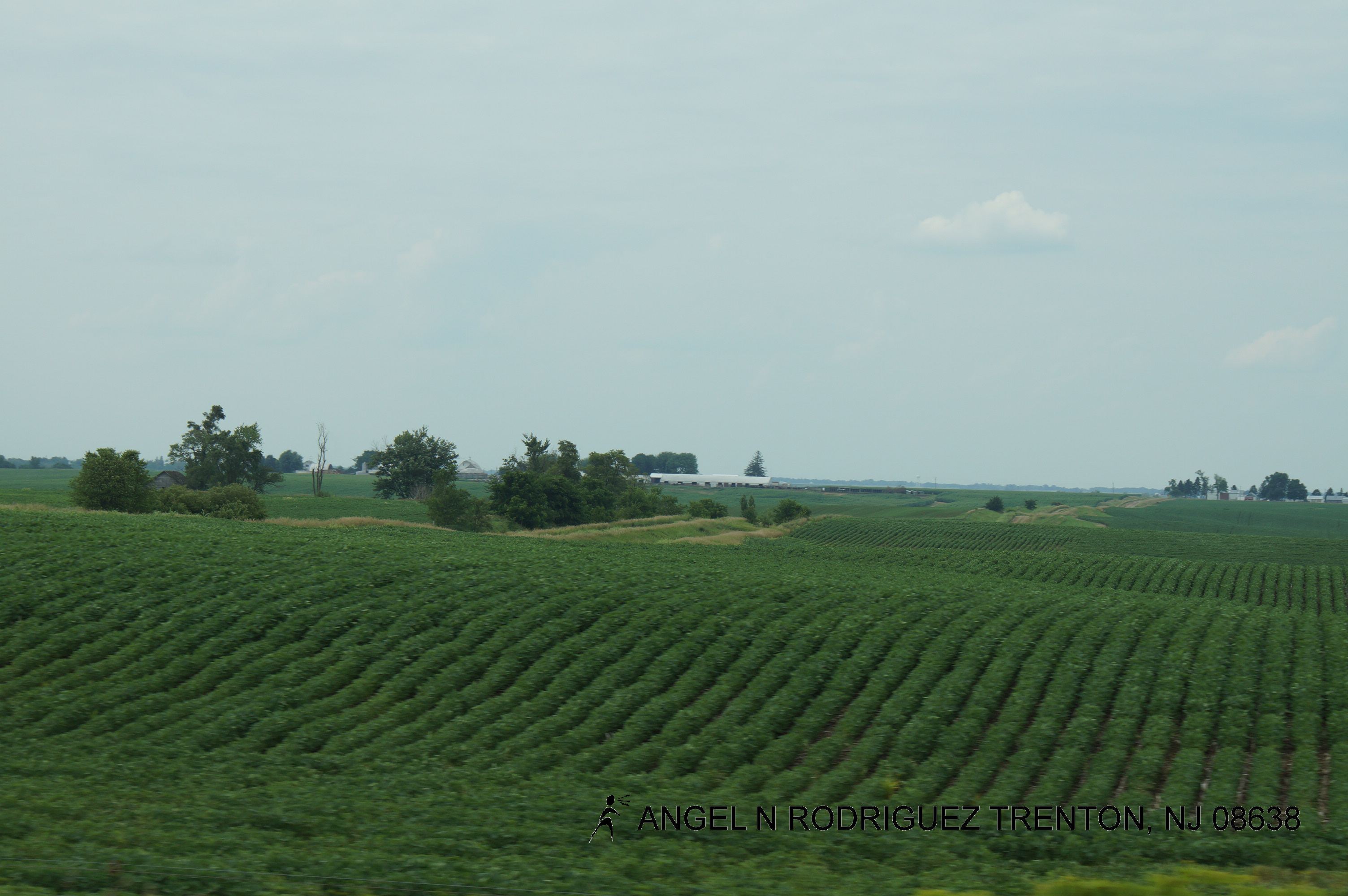
Midwest Textures #iowa #midwest #igdaily #instagood #instamood #instamatic #instagroove #photooftheday #bestoftheday #statigram #iphone #roadtrip
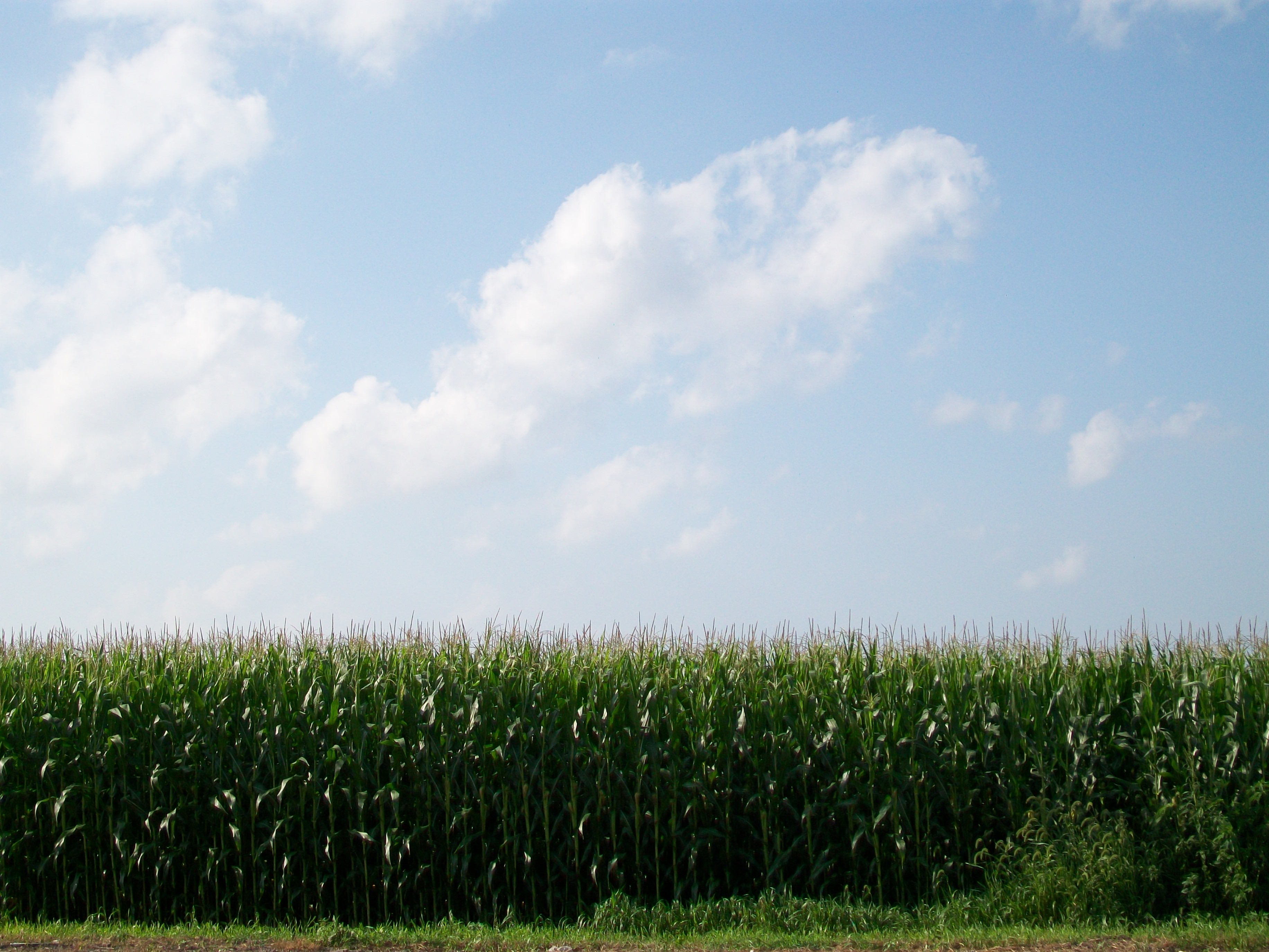
Cornfield by Carnforth Inn July2010
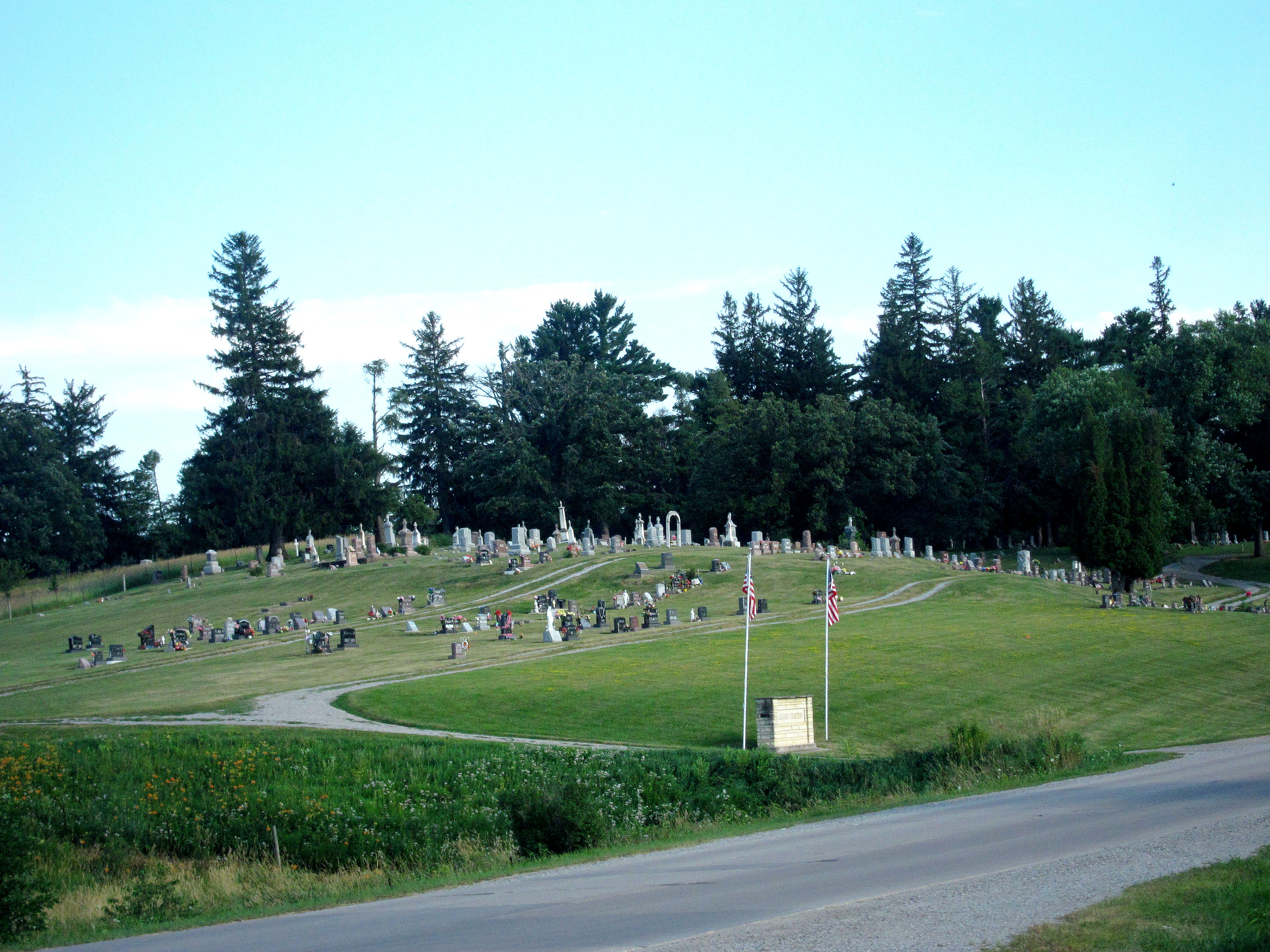
Calvary Cemetery in Victor 7-23-13 01
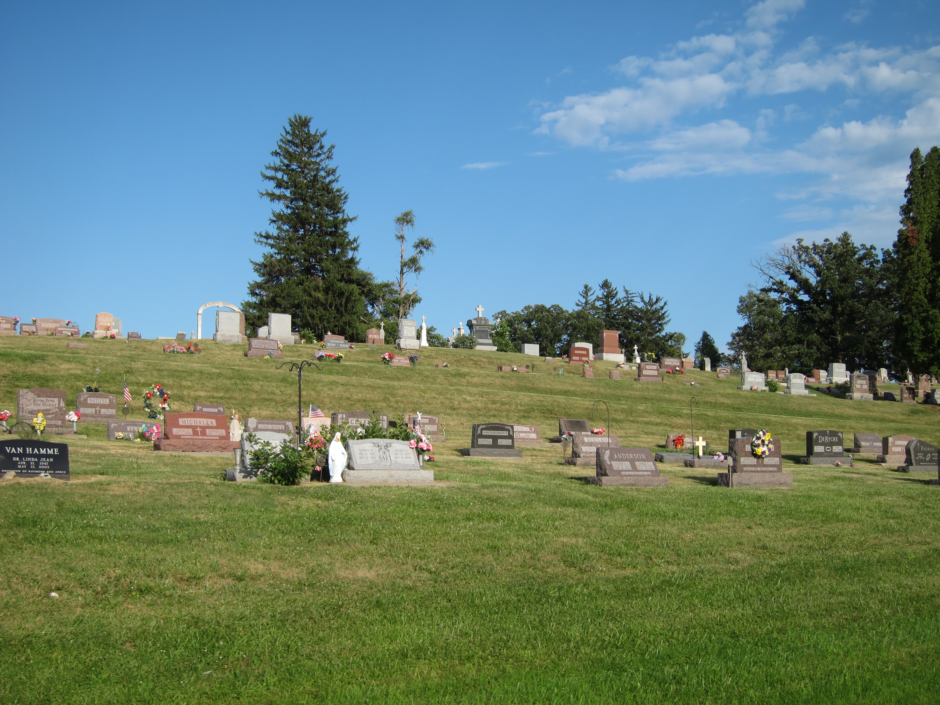
Calvary Cemetery in Victor 7-23-13 10
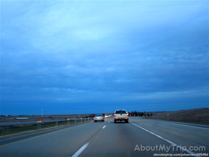
Roadtex pictures
Iowa, Poweshiek County
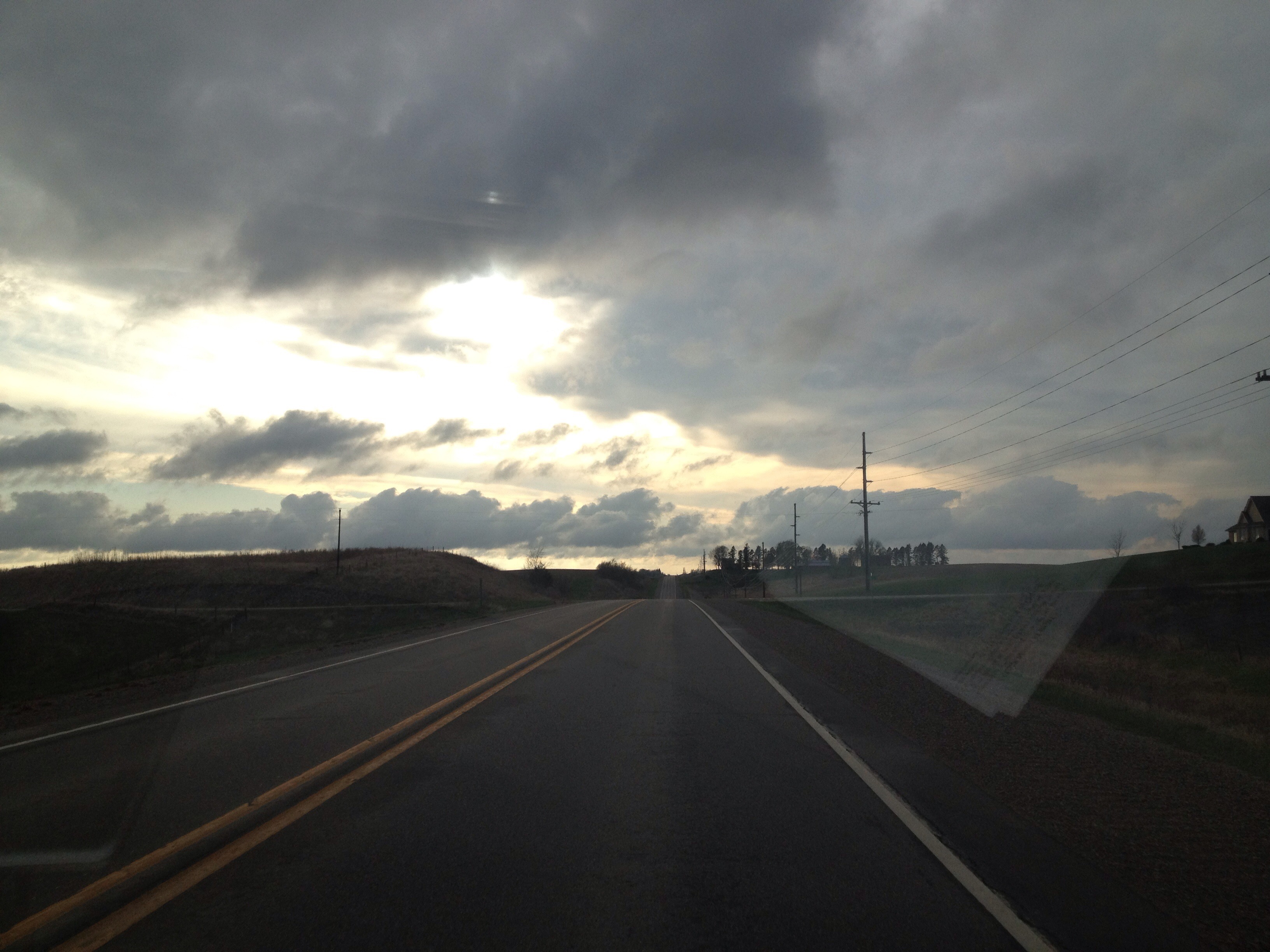
Enjoying the Iowa landscape
Topographic Map of Bear Creek, IA, USA
Find elevation by address:

Places in Bear Creek, IA, USA:
Places near Bear Creek, IA, USA:
241 Jackson St
Brooklyn
Poweshiek County
N Front St, Montezuma, IA, USA
Pleasant
Deep River
Main St, Deep River, IA, USA
764 470th Ave
Deep River
Broadway St, Barnes City, IA, USA
Barnes City
Station St, Chelsea, IA, USA
Chelsea
Salt Creek
Hartford
Pleasant Grove
Grinnell
Tama
215 W 3rd St
908 E 8th St
Recent Searches:
- Elevation of 15th Ave SE, St. Petersburg, FL, USA
- Elevation of Beall Road, Beall Rd, Florida, USA
- Elevation of Leguwa, Nepal
- Elevation of County Rd, Enterprise, AL, USA
- Elevation of Kolchuginsky District, Vladimir Oblast, Russia
- Elevation of Shustino, Vladimir Oblast, Russia
- Elevation of Lampiasi St, Sarasota, FL, USA
- Elevation of Elwyn Dr, Roanoke Rapids, NC, USA
- Elevation of Congressional Dr, Stevensville, MD, USA
- Elevation of Bellview Rd, McLean, VA, USA