Elevation of Debelo Brdo, Serbia
Location: Serbia > Zlatibor District > Municipality Of Bajina Basta >
Longitude: 19.6933333
Latitude: 44.1461111
Elevation: 1053m / 3455feet
Barometric Pressure: 89KPa
Elevation Map:
Satellite Map:
Related Photos:

Drina FlyFishing

Drina River

Kanjon Trešnjice

Pogled sa brane

Okuka prema brani

Kanjon Trešnjice

Ćuvici
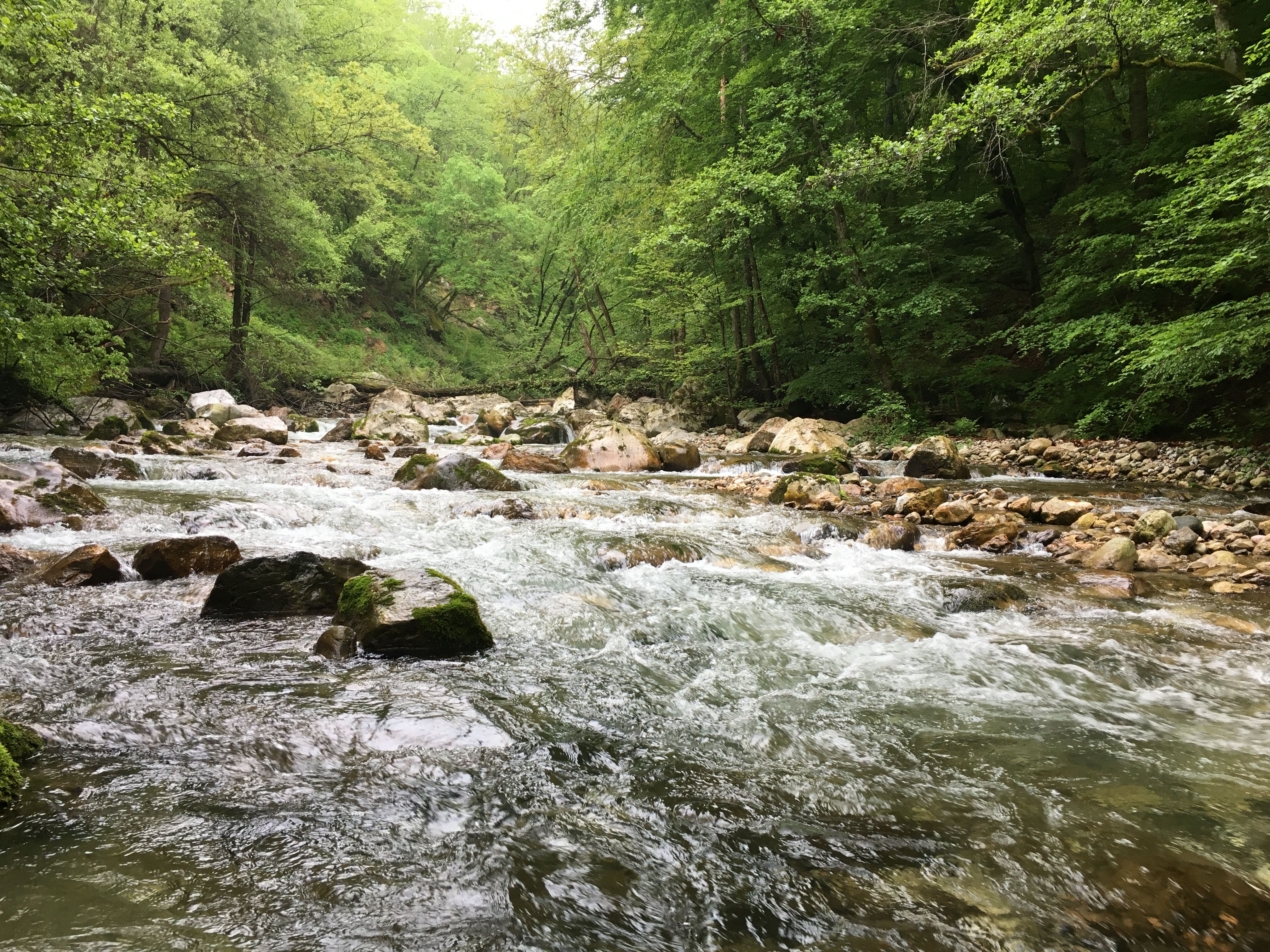
Kanjon Trešnjice

Kanjon Trešnjice

Kanjon Trešnjice

Kanjon Trešnjice

Kanjon Trešnjice

Kanjon Trešnjice

Kanjon Trešnjice

Kanjon Trešnjice

2019 Montenegro - Snowshoeing 2-1.jpg
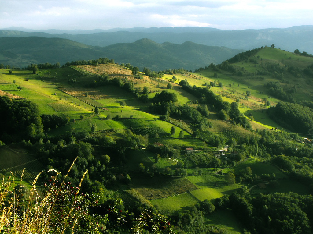
Negde na debelom brdu

PT 2100 Vrbnica-Beograd
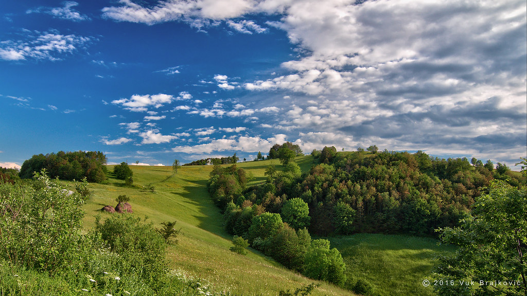
Zarožje

Two trees

Pogled sa osmatracnice-Mali Povlen

Osmatracnica-Mali Povlen
Topographic Map of Debelo Brdo, Serbia
Find elevation by address:

Places near Debelo Brdo, Serbia:
Povlen
Makovište
Magleš
Gornje Leskovice
Valjevo
Divčibare
Crni Vrh
Užice
Kolubara District
Zlatibor
Rakovica
Zlatibor District
Чигота
Provo
Kupinovo
Moravica District
Čačak
Unnamed Road
Varnice
Prislonica
Recent Searches:
- Elevation of Erika Dr, Windsor, CA, USA
- Elevation of Village Ln, Finleyville, PA, USA
- Elevation of 24 Oakland Rd #, Scotland, ON N0E 1R0, Canada
- Elevation of Deep Gap Farm Rd E, Mill Spring, NC, USA
- Elevation of Dog Leg Dr, Minden, NV, USA
- Elevation of Dog Leg Dr, Minden, NV, USA
- Elevation of Kambingan Sa Pansol Atbp., Purok 7 Pansol, Candaba, Pampanga, Philippines
- Elevation of Pinewood Dr, New Bern, NC, USA
- Elevation of Mountain View, CA, USA
- Elevation of Foligno, Province of Perugia, Italy